Elevation of Stone Quarry Rd, Johnstown, OH, USA
Location: United States > Ohio > Licking County > Monroe Township > Johnstown >
Longitude: -82.565560
Latitude: 40.1354816
Elevation: 349m / 1145feet
Barometric Pressure: 97KPa
Elevation Map:
Satellite Map:
Related Photos:

Nature Paints

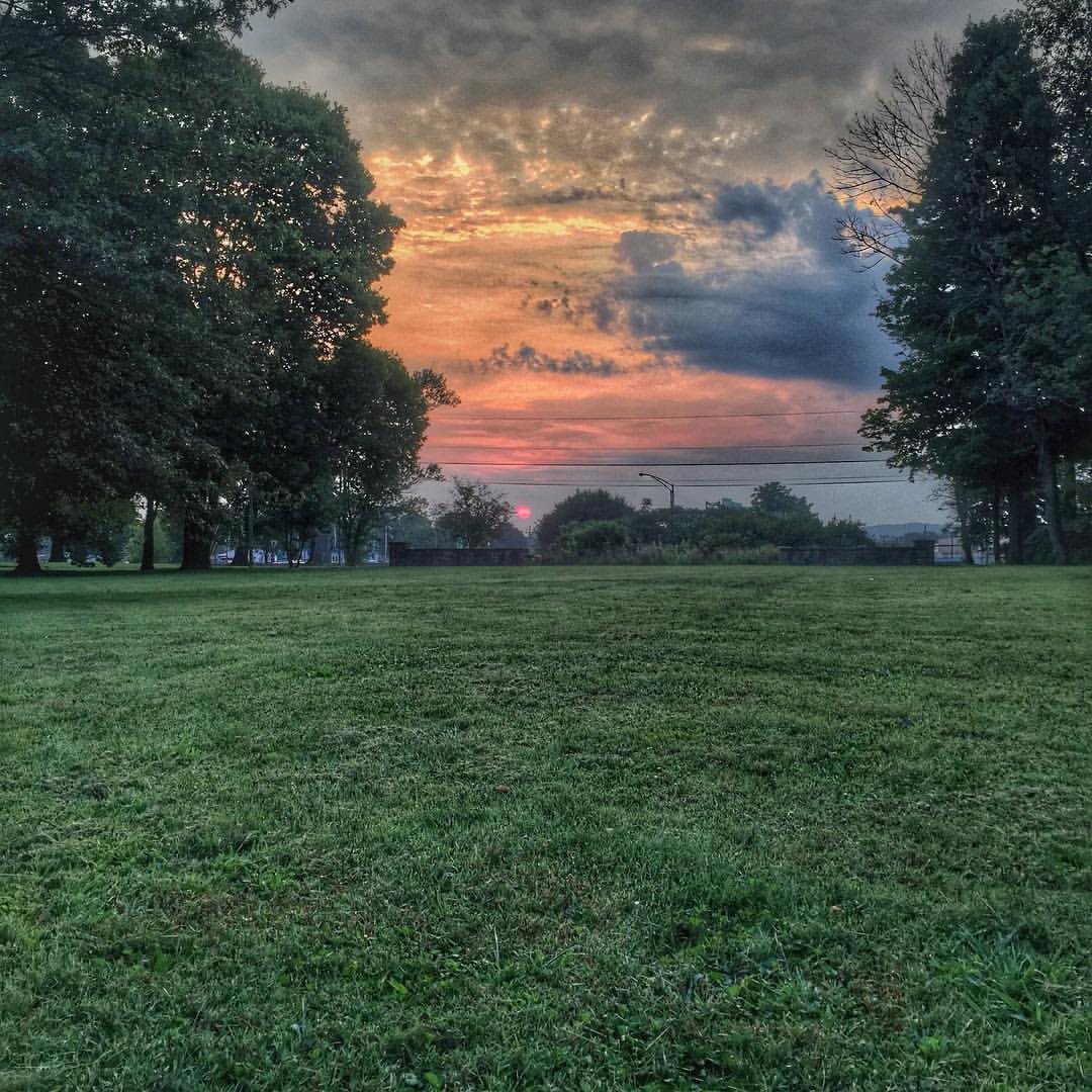
Steeple at Sunset
village coffee company
McLain Covered Bridge, barrel view, Licking County, Ohio
B&W Lily
Ghost of Christmas Past?

McLain Covered Bridge, truss view, Licking County, Ohio

Prettiness of Ohio — except!

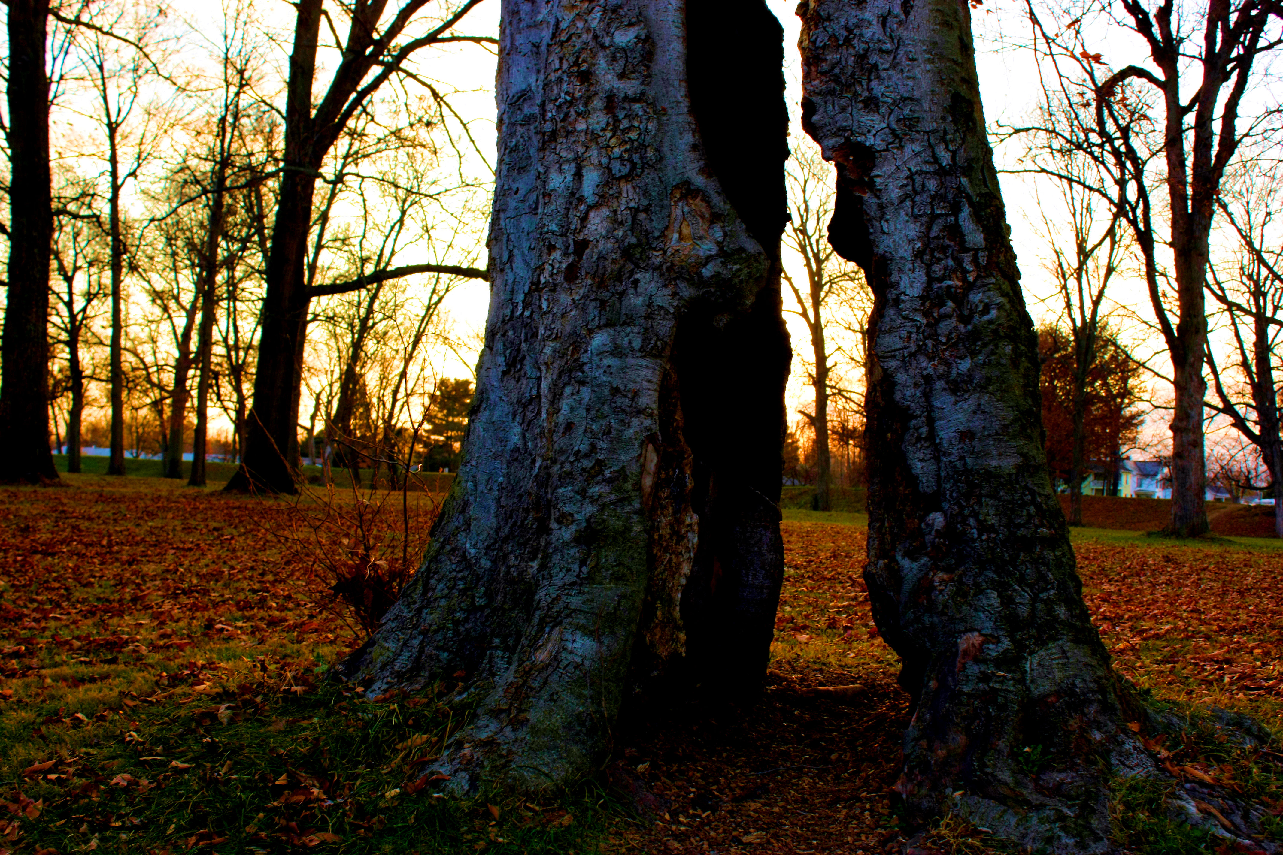
Landscape — Union Township, Licking County, Ohio

This Way
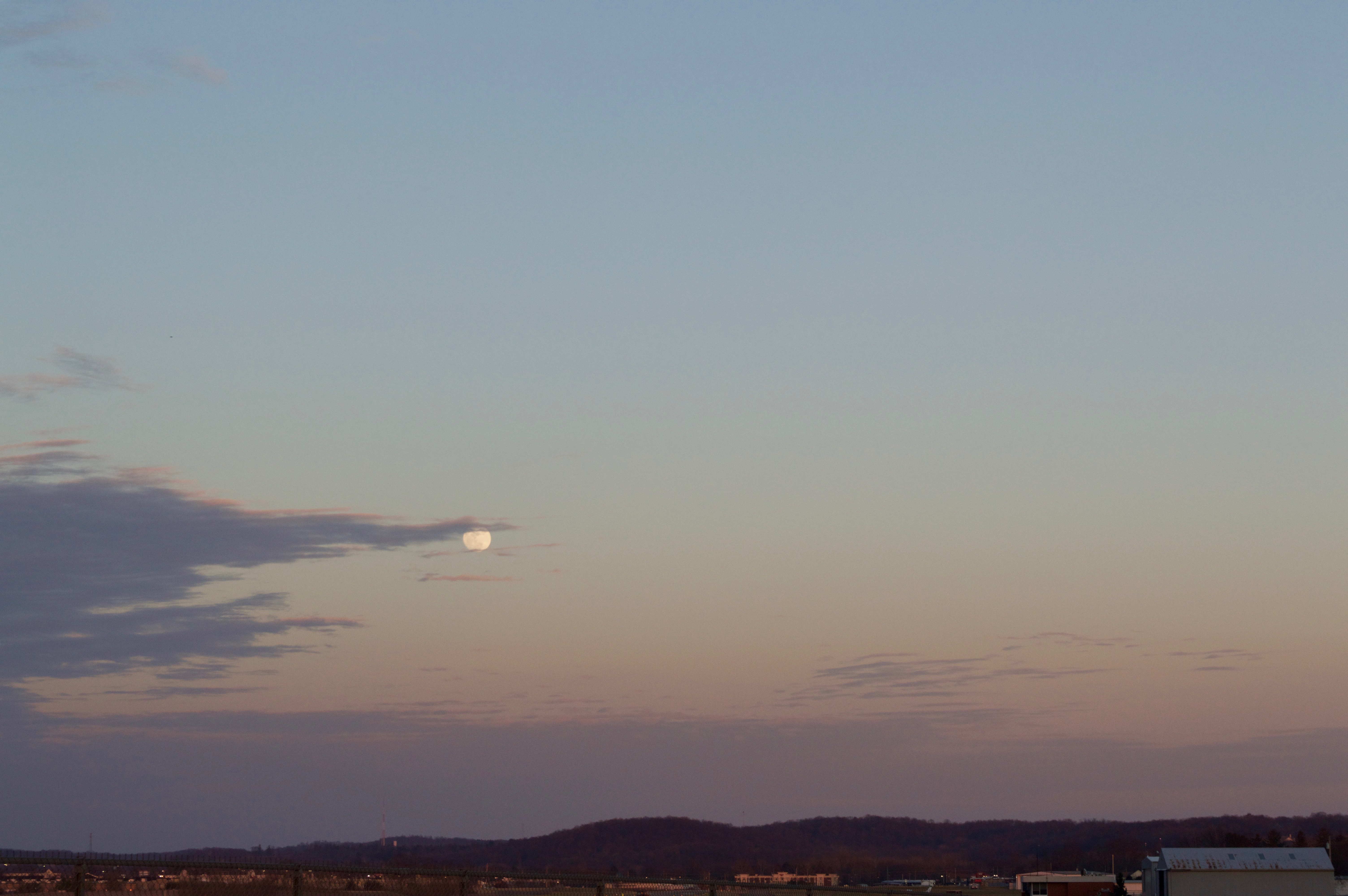
Moon over Heath, Ohio

smoke 2
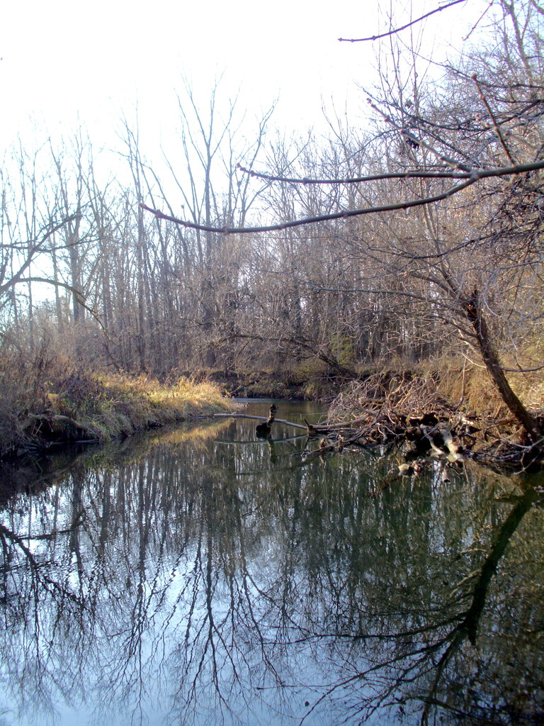
Raccoon Creek

morris woods
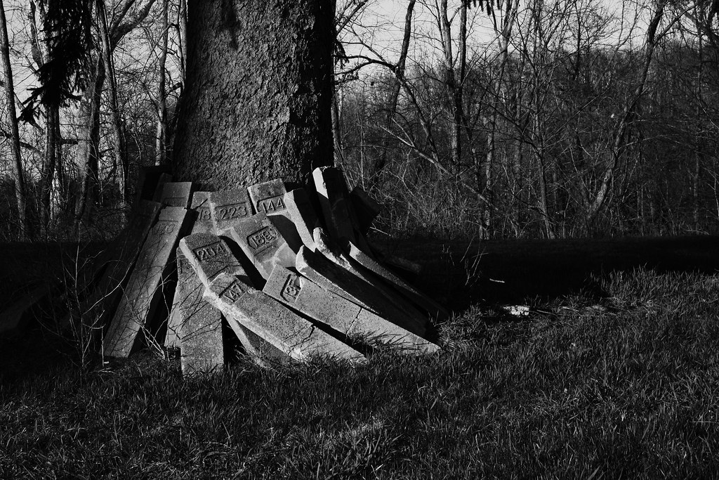
Untold Numbers

Comet Darner dragonfly
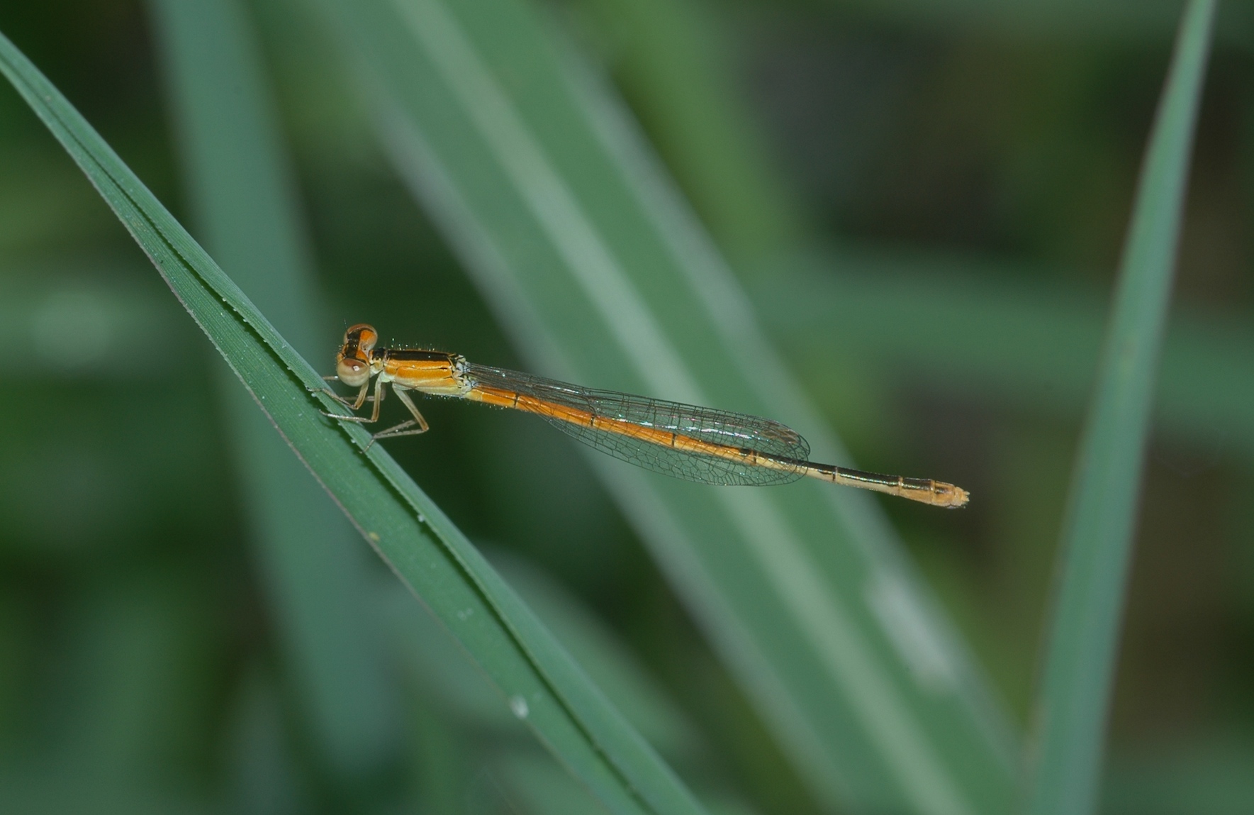
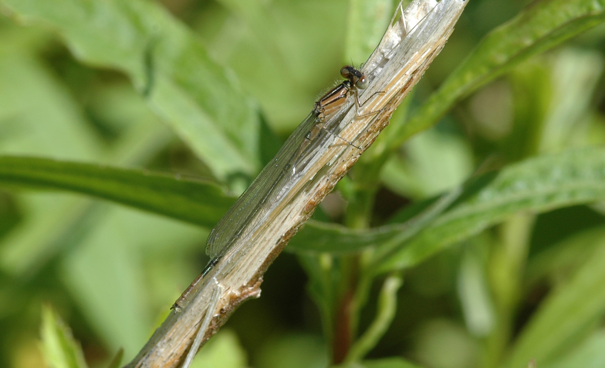
Citrine Forktail damselfly
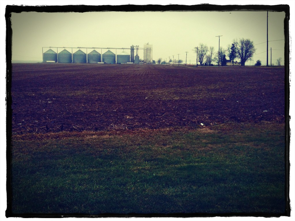
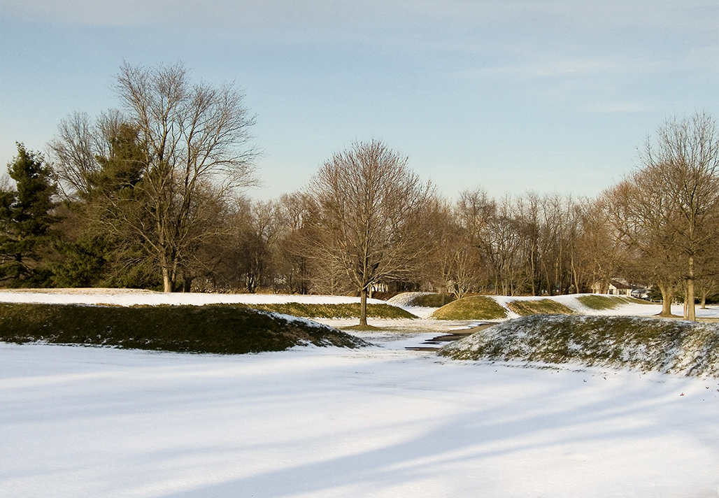
Winter's edge at the elevator
Withered.
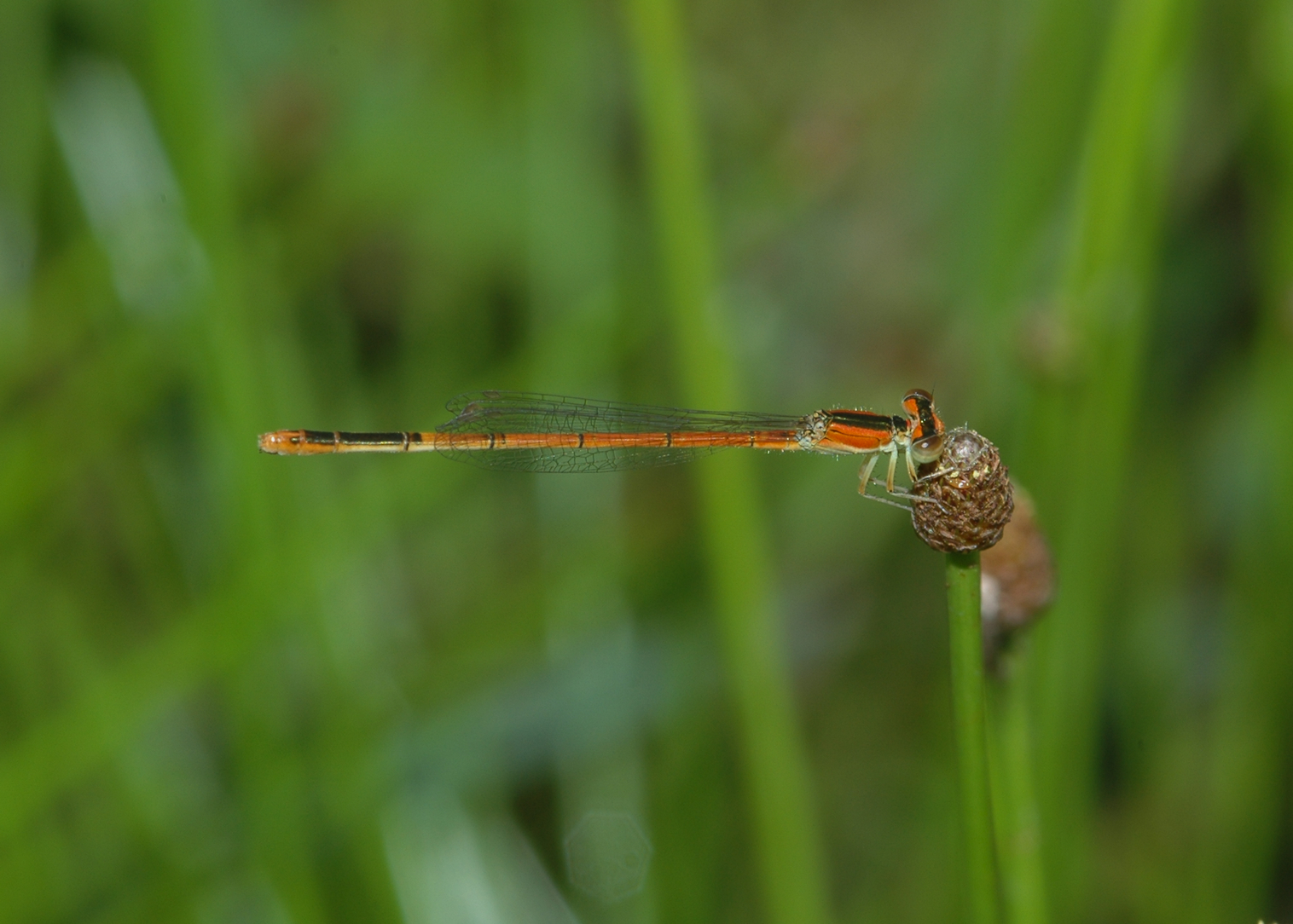
Citrine Forktail damselfly
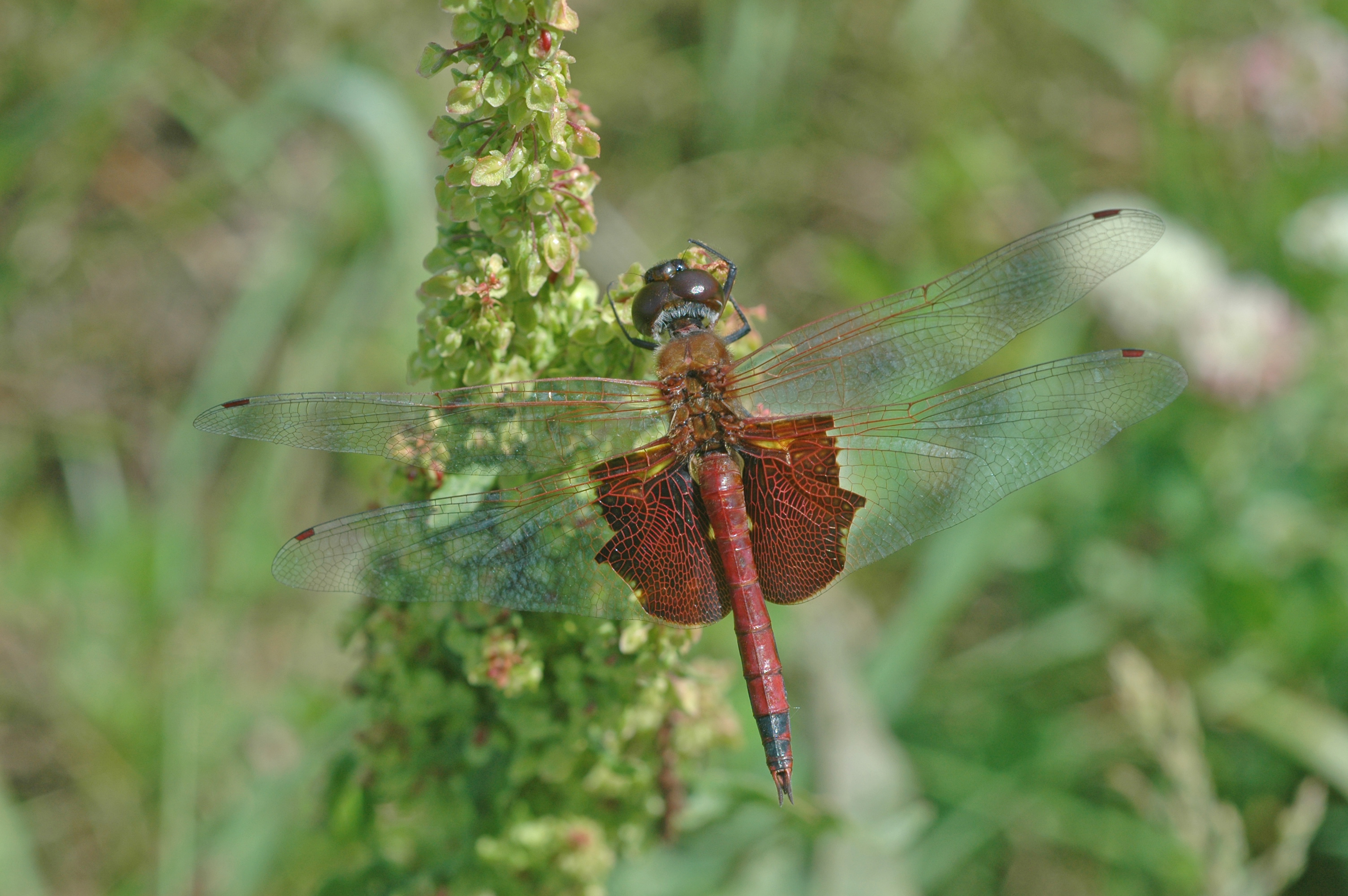
Carolina Saddlebags dragonfly

In the pumpkin patch
Azure Bluet damselfly
The Great Circle Earthworks Sunrise!

on the way to work
Gateways at Octagon Mound
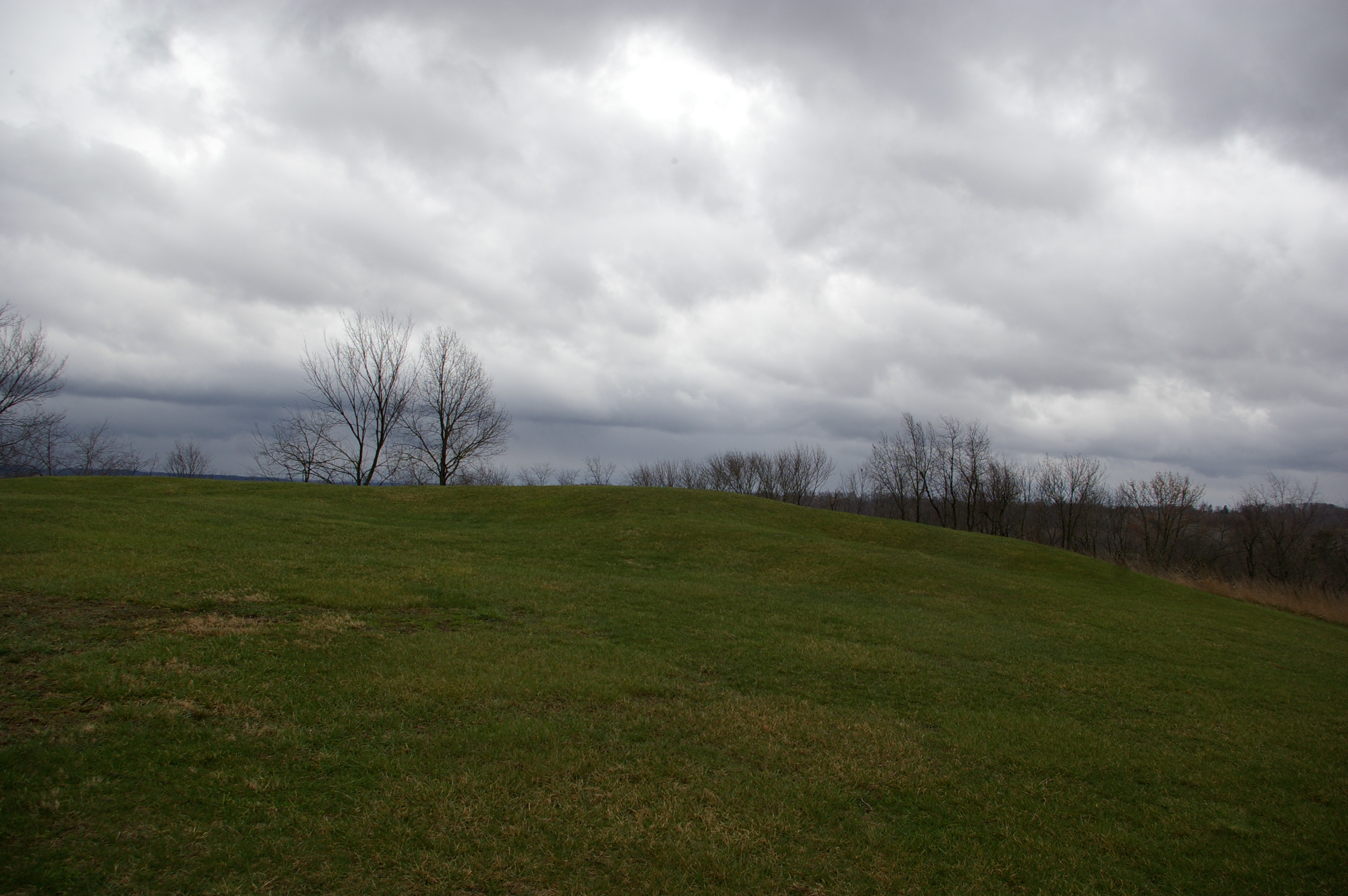
Alligator Mound
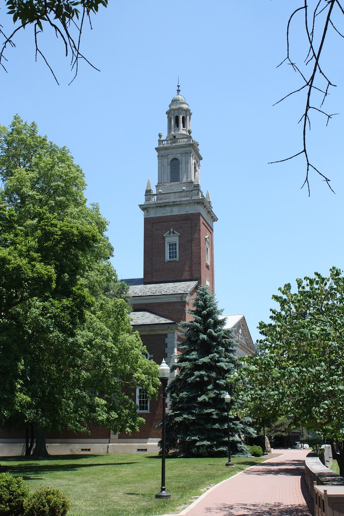
Denison University Swasey Chapel & Walk in Granville, Ohio

Nightlife #Ohio #Eav #EAvIG #art #night #amazing #color #city #street #streetphotography #colorful #streetart #downtown #creative #relaxing #landscape_lovers #highlife #scenic #nostalgia #citylife
Alligator Mound
Topographic Map of Stone Quarry Rd, Johnstown, OH, USA
Find elevation by address:

Places near Stone Quarry Rd, Johnstown, OH, USA:
3555 Corner Rd
Sportsman Club Rd NW, Johnstown, OH, USA
2636 Burg St
Granville Township
Liberty Township
Mckean Township
Alexandria
96 Briarwood Dr
112 Dutch Ridge Way
248 Thornewood Drive
Concord Rd, Johnstown, OH, USA
St. Albans Township
Trumbull Aquatics Center
United Church Of Granville
Granville
31 Donald Ross Dr
Granville Public Library
3636 Columbus Rd
4636 Johnstown-alexandria Rd
4636 Johnstown-alexandria Rd
Recent Searches:
- Elevation of Elwyn Dr, Roanoke Rapids, NC, USA
- Elevation of Congressional Dr, Stevensville, MD, USA
- Elevation of Bellview Rd, McLean, VA, USA
- Elevation of Stage Island Rd, Chatham, MA, USA
- Elevation of Shibuya Scramble Crossing, 21 Udagawacho, Shibuya City, Tokyo -, Japan
- Elevation of Jadagoniai, Kaunas District Municipality, Lithuania
- Elevation of Pagonija rock, Kranto 7-oji g. 8"N, Kaunas, Lithuania
- Elevation of Co Rd 87, Jamestown, CO, USA
- Elevation of Tenjo, Cundinamarca, Colombia
- Elevation of Côte-des-Neiges, Montreal, QC H4A 3J6, Canada