Elevation of Licking County, OH, USA
Location: United States > Ohio >
Longitude: -82.475275
Latitude: 40.1460895
Elevation: 367m / 1204feet
Barometric Pressure: 97KPa
Elevation Map:
Satellite Map:
Related Photos:

View from my Cannondale
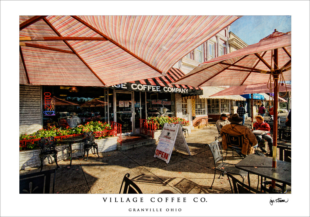
village coffee company

100 Watts

This Way

Nature Paints
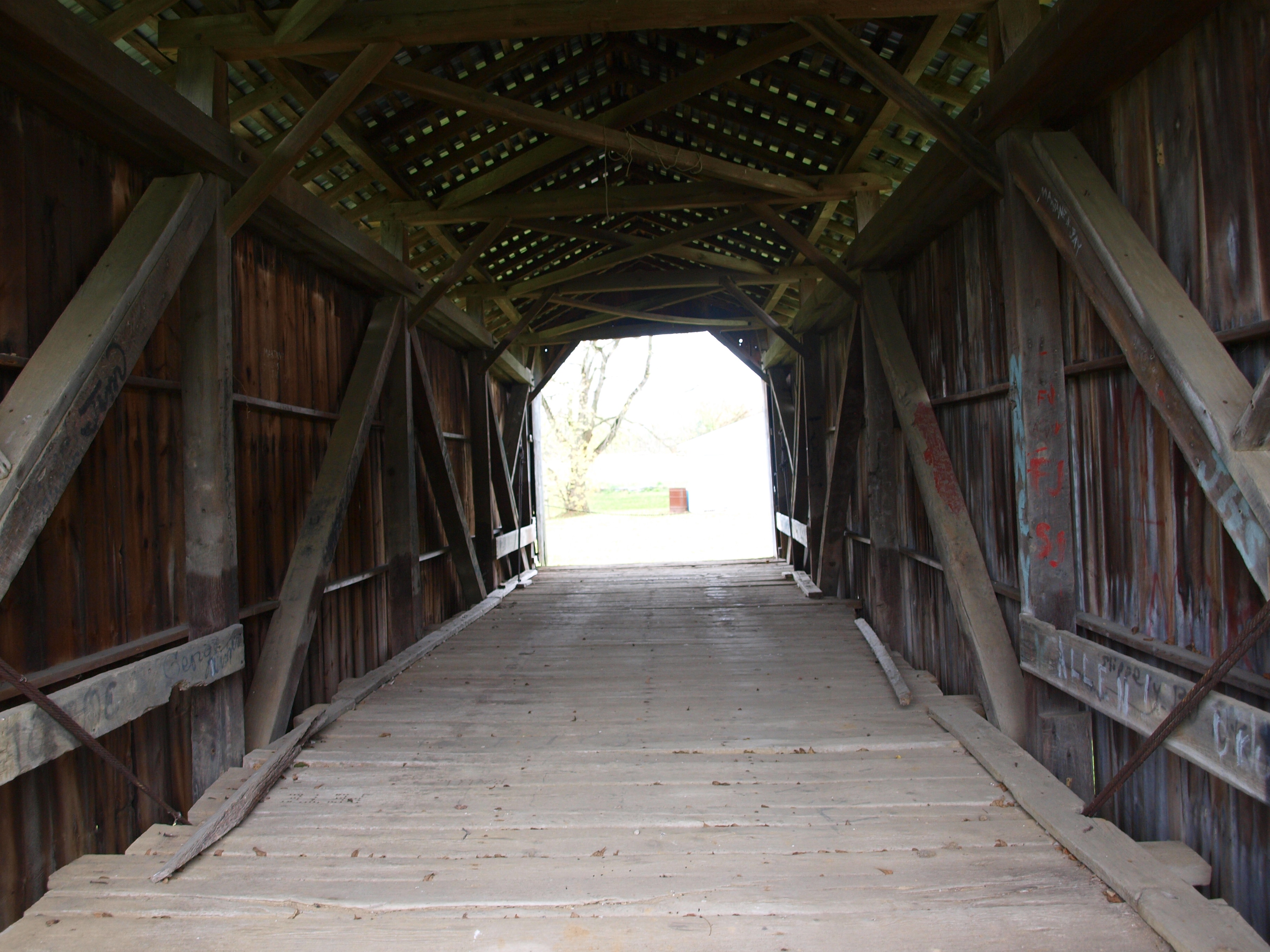
McLain Covered Bridge, barrel view, Licking County, Ohio
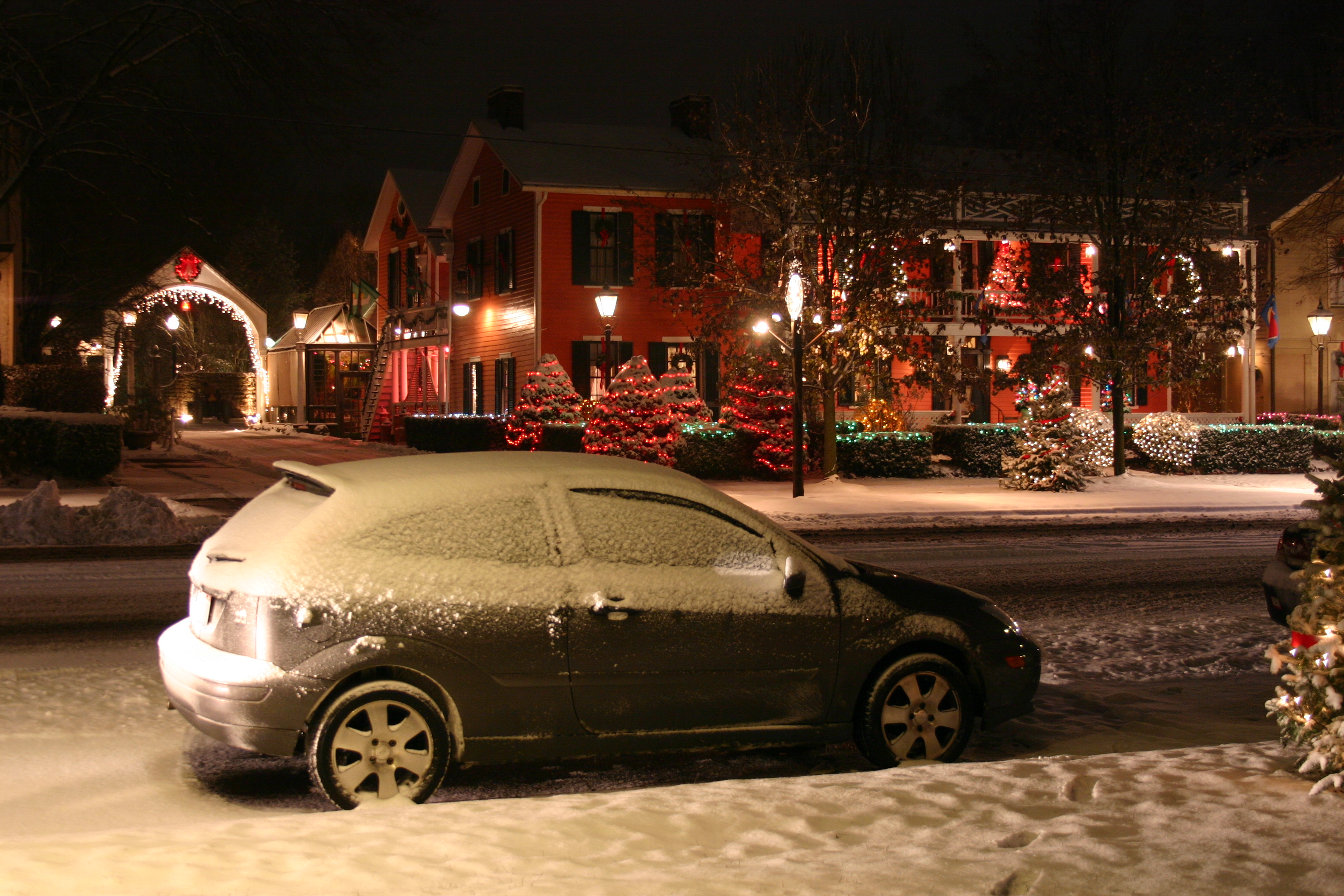
Ghost of Christmas Past?

McLain Covered Bridge, truss view, Licking County, Ohio
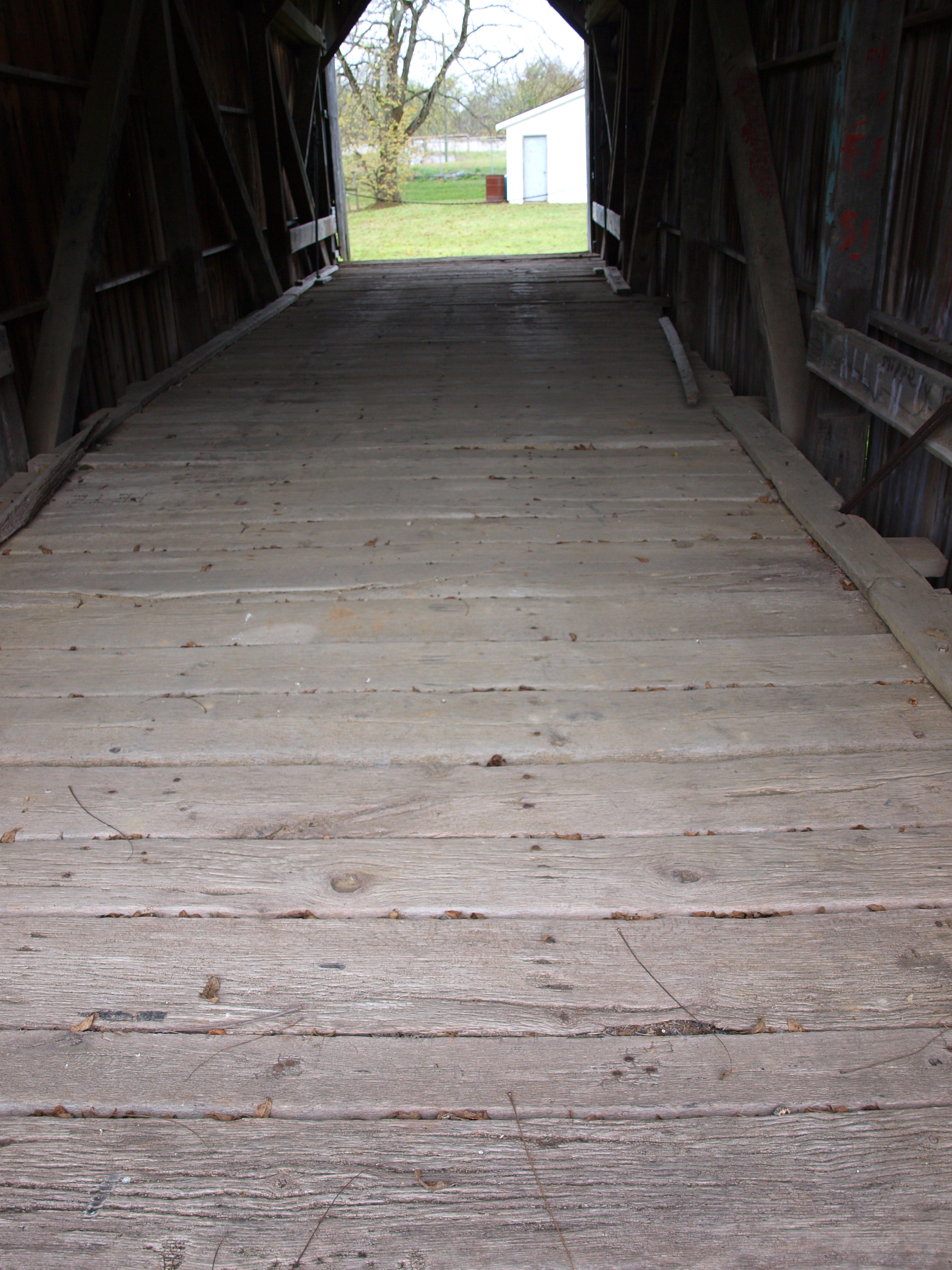
McLain Covered Bridge, floor view, Licking County, Ohio
Angle of Angels

Life Through My Viewfinder

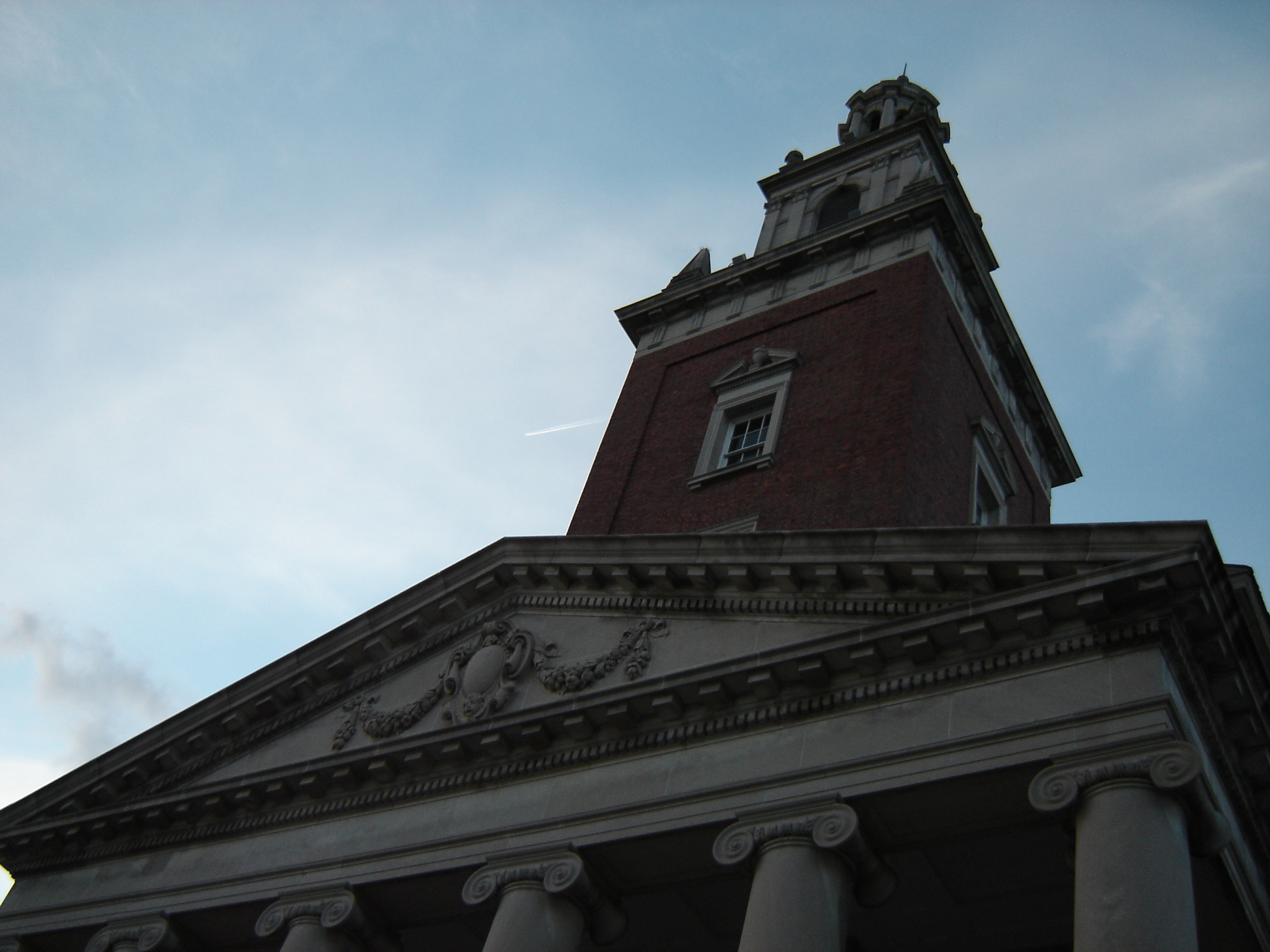
Steeple at Sunset

St. Louisville: Oiluette

WP1: Winters Last Grasp

WP2: Bokeh Berries
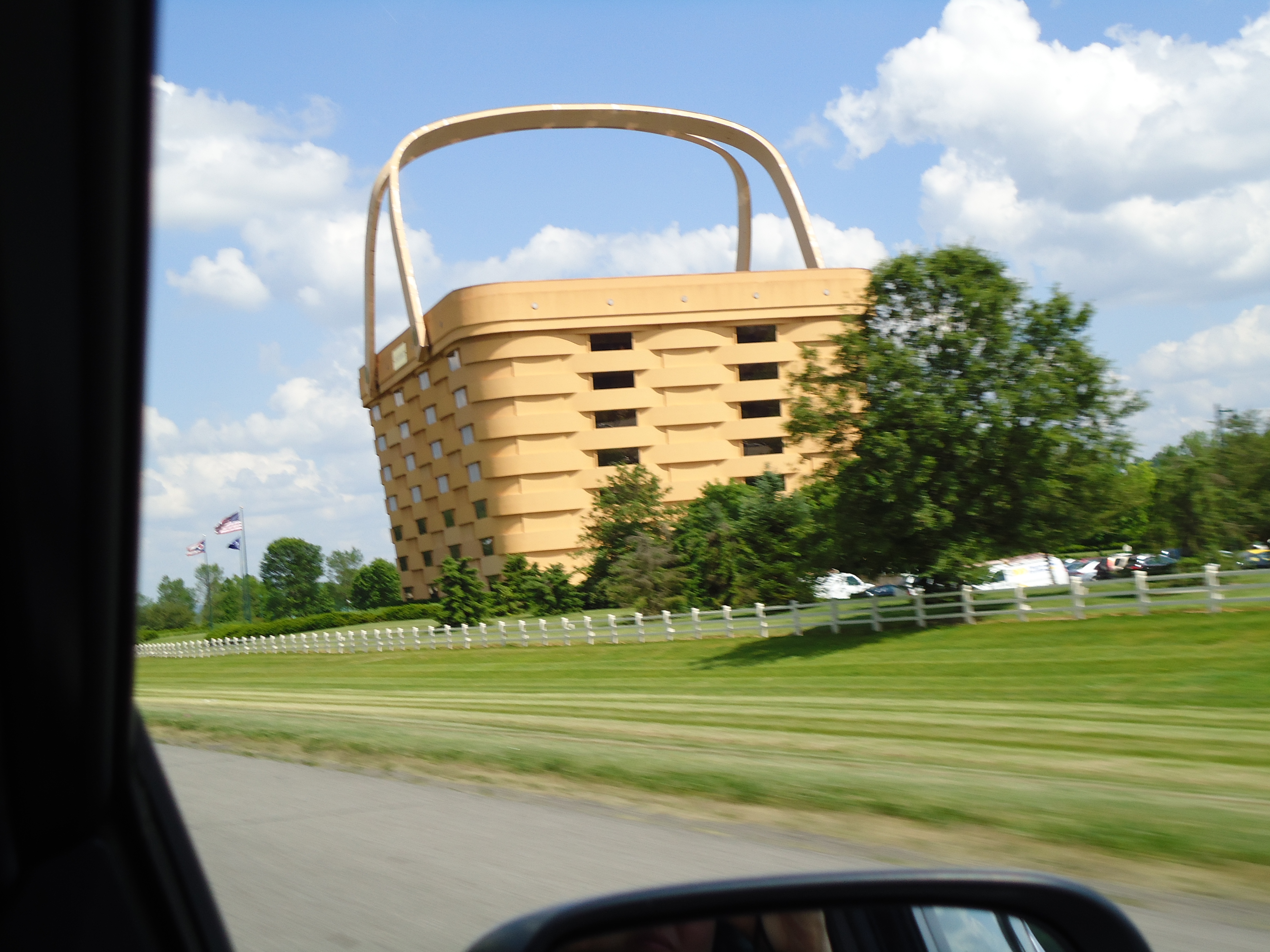
View from The Road
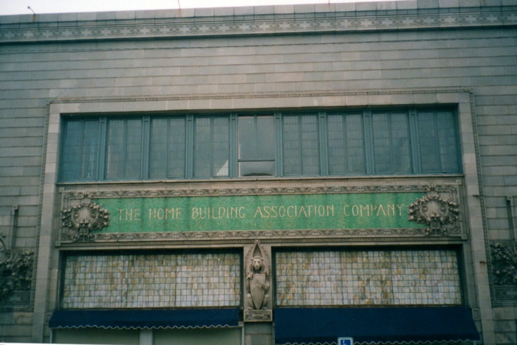
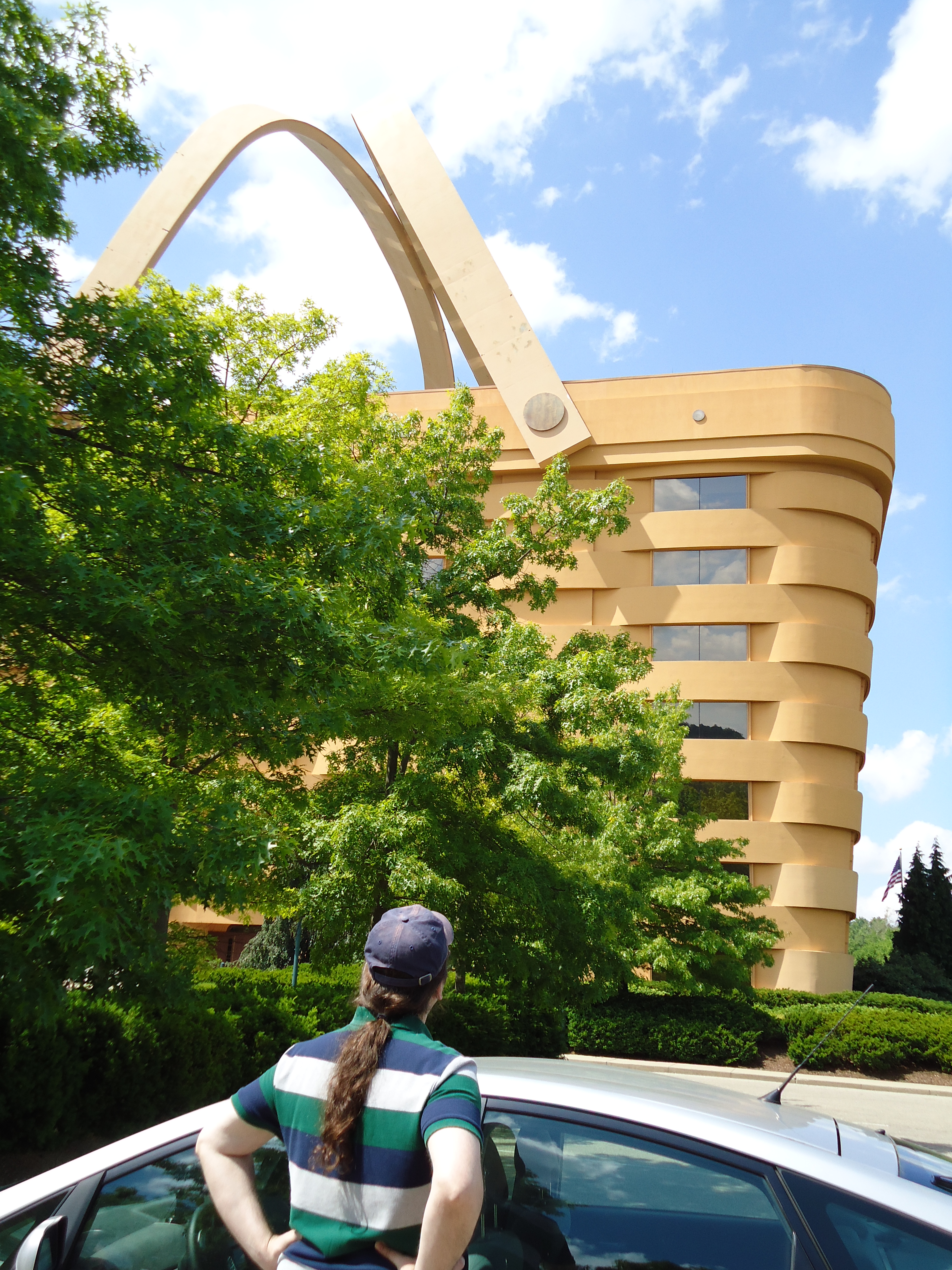
The Home Building Association Co. Newark, Ohio
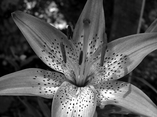
B&W Lily
Admiring the View
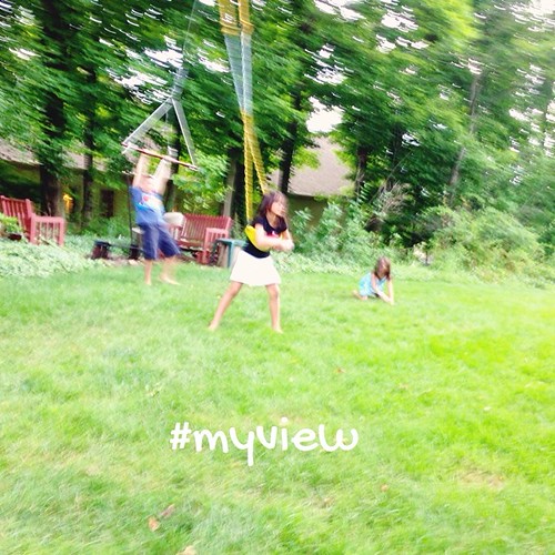
6. View #fmsphotoaday #littlemomentsapp

smoke 2

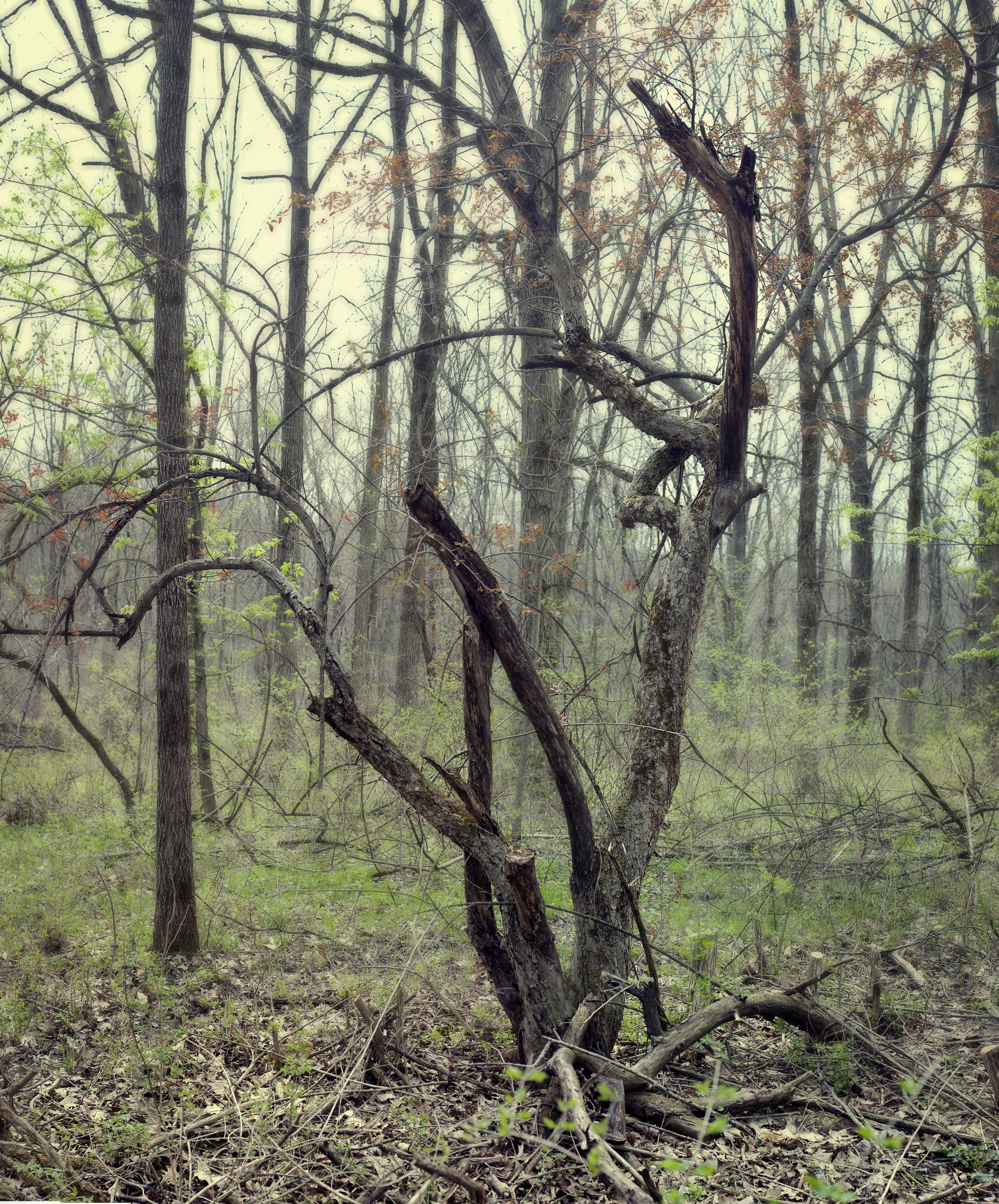
Morris Woods 15

Split-toned Sunrise

Camera Roll-22

morris woods
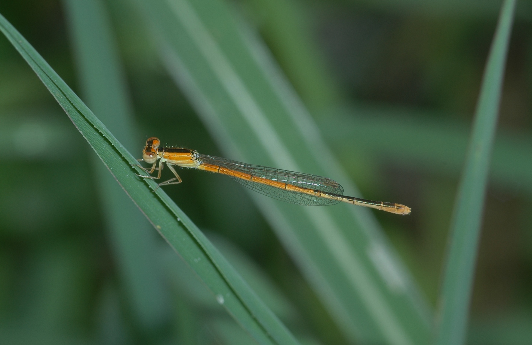
Citrine Forktail damselfly
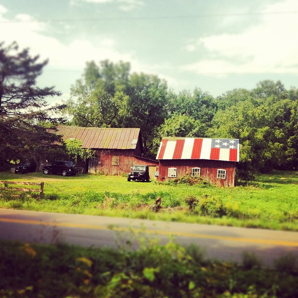
Proud #jeep #barn #ohio #igers #igdaily #igersohio #igerscolumbus #flag #patriotic #stars #stripes #farm

Citrine Forktail damselfly
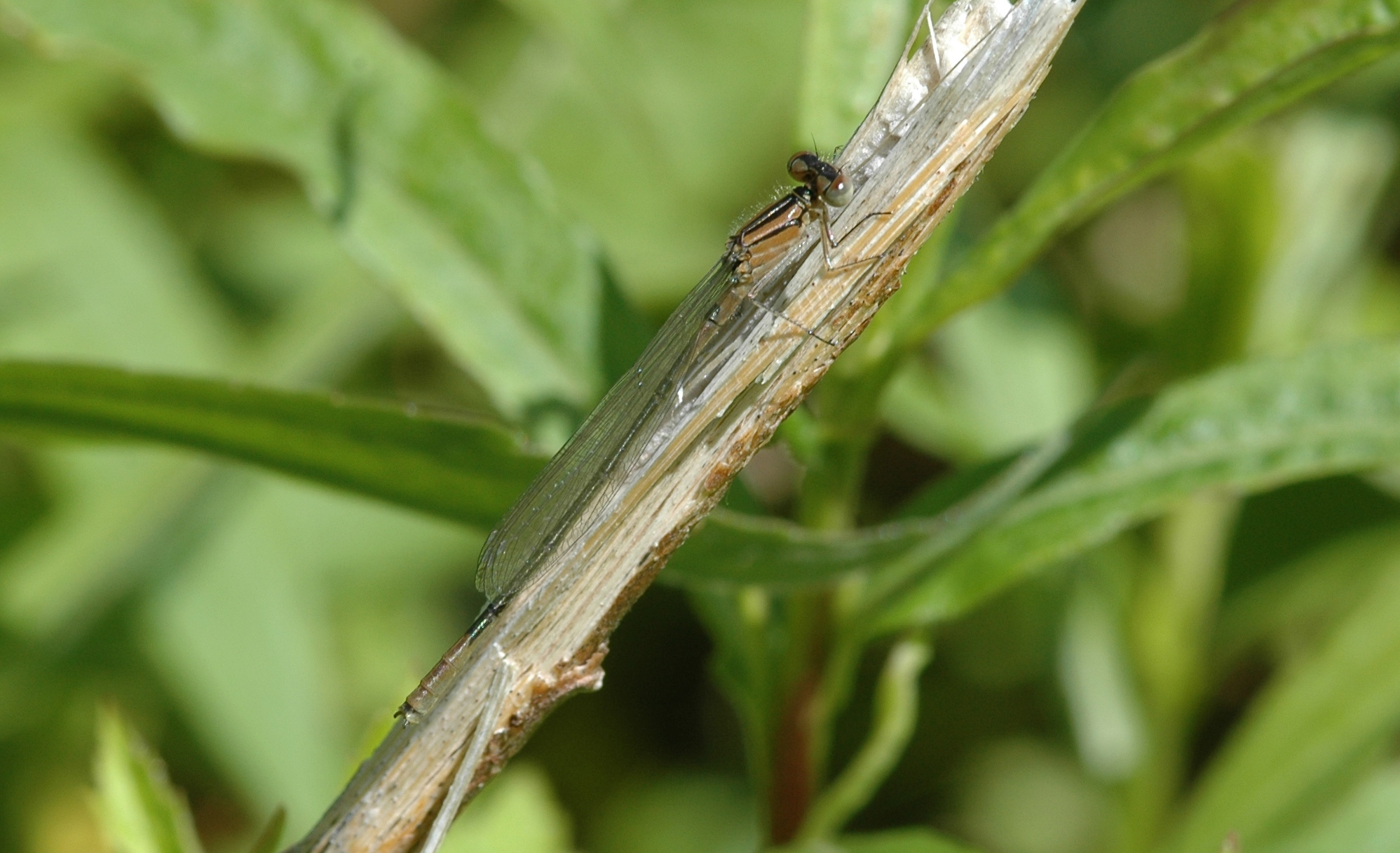
Azure Bluet damselfly

Cast a Shadow.

on the way to work

Foggy Sunrise
Withered.
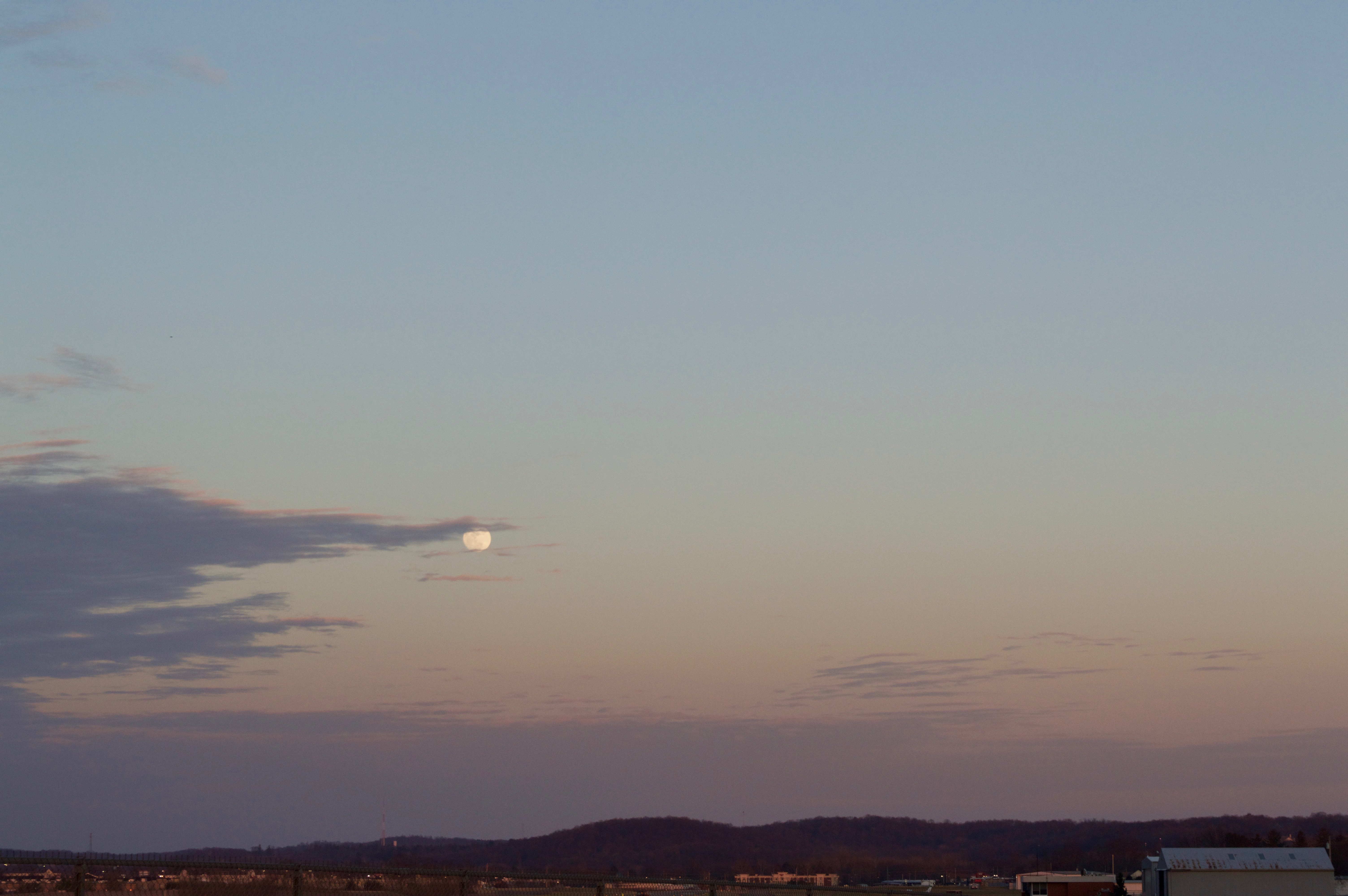
Moon over Heath, Ohio
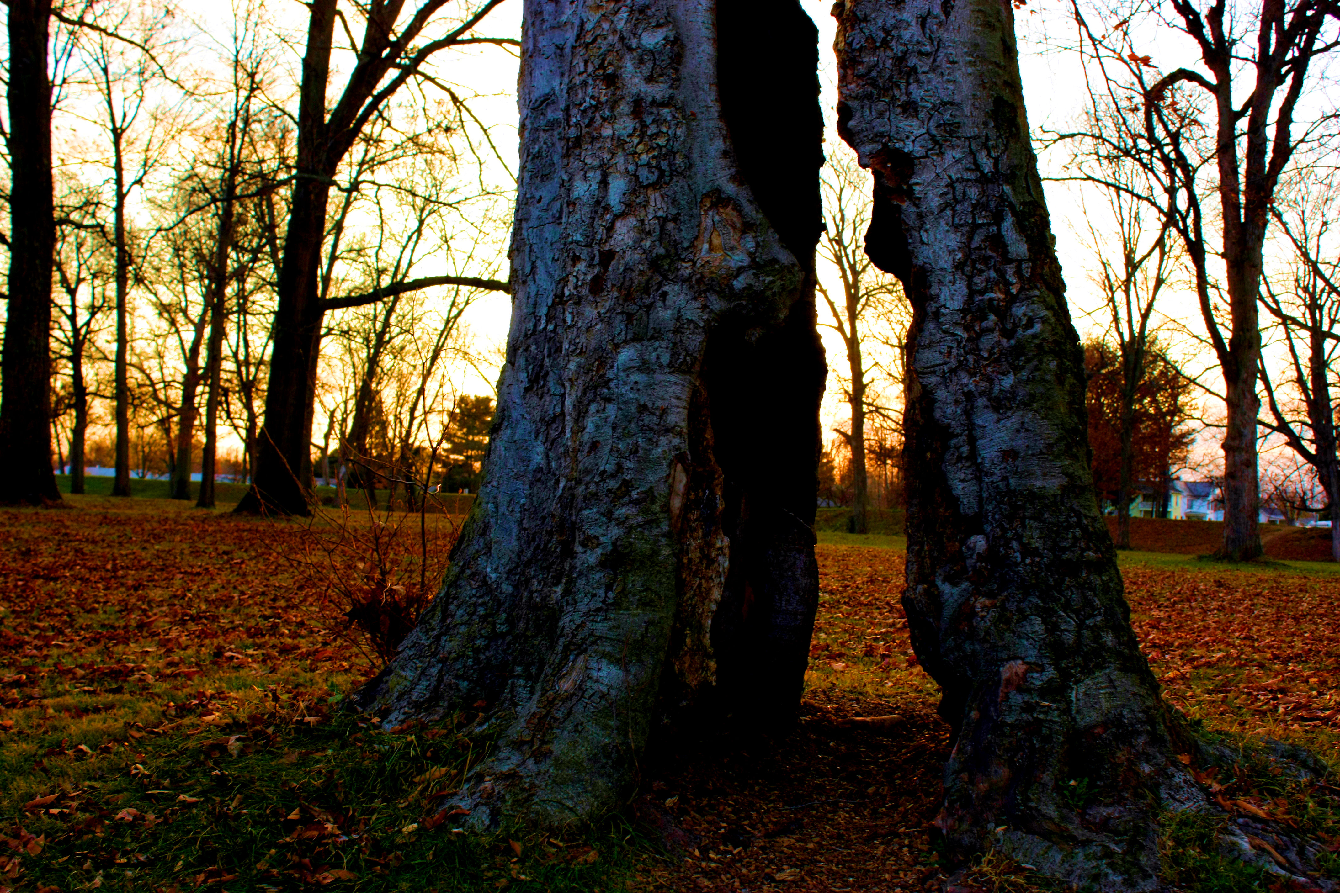
Untold Numbers
Morris Woods 27
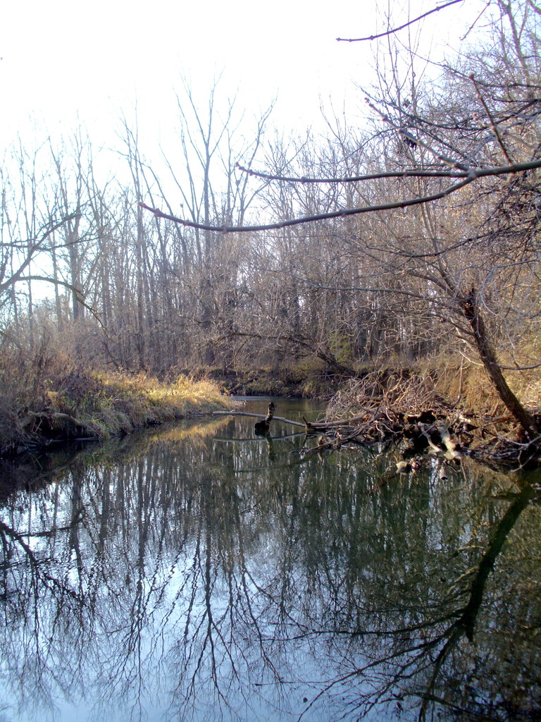
Raccoon Creek

I'm Back!
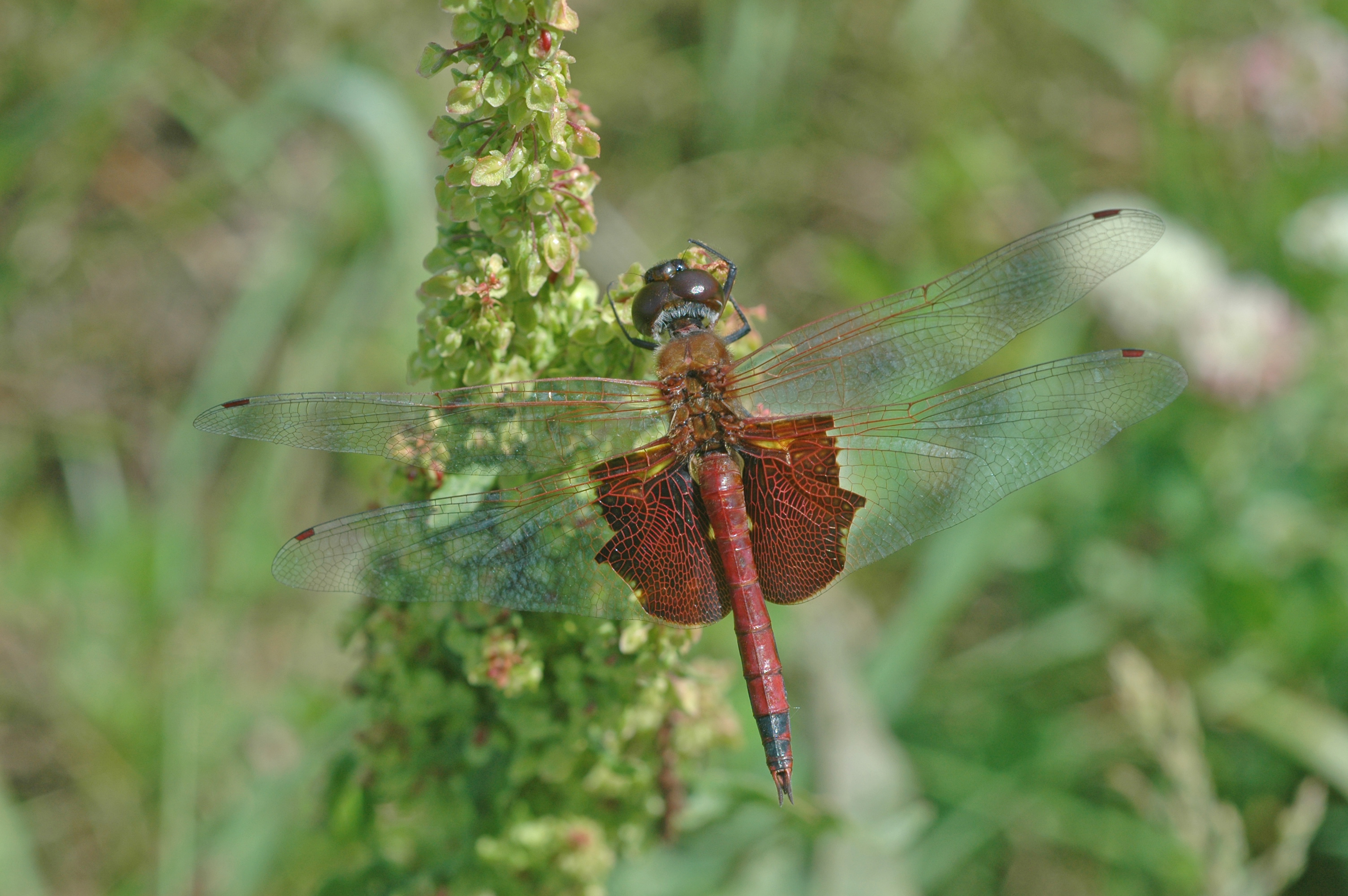
Carolina Saddlebags dragonfly
Topographic Map of Licking County, OH, USA
Find elevation by address:

Places in Licking County, OH, USA:
Jersey Township
Etna Township
Union Township
Bowling Green Township
Monroe Township
Hopewell Township
St. Albans Township
Newark
Harrison Township
Licking Township
Newton Township
Liberty Township
Hartford Township
Granville Township
Hanover Township
Jacksontown Rd, Newark, OH, USA
Sharon Valley Rd NE, Newark, OH, USA
Cable Rd SW, Pataskala, OH, USA
Heath
Eden Township
Mckean Township
Mary Ann Township
Places near Licking County, OH, USA:
Chestnut Hills Rd, Newark, OH, USA
Mckean Township
Newton Township
Saint Louisville
Sharon Valley Rd NE, Newark, OH, USA
1575 Ditmoor Stroll
31 Donald Ross Dr
383 Glyn Tawel Dr
1265 N Howell Dr
2636 Burg St
1754 Londondale Pkwy
Trumbull Aquatics Center
Granville Township
Granville Public Library
Granville
United Church Of Granville
3650 Stone Quarry Rd
3555 Corner Rd
96 Briarwood Dr
248 Thornewood Drive
Recent Searches:
- Elevation of Corso Fratelli Cairoli, 35, Macerata MC, Italy
- Elevation of Tallevast Rd, Sarasota, FL, USA
- Elevation of 4th St E, Sonoma, CA, USA
- Elevation of Black Hollow Rd, Pennsdale, PA, USA
- Elevation of Oakland Ave, Williamsport, PA, USA
- Elevation of Pedrógão Grande, Portugal
- Elevation of Klee Dr, Martinsburg, WV, USA
- Elevation of Via Roma, Pieranica CR, Italy
- Elevation of Tavkvetili Mountain, Georgia
- Elevation of Hartfords Bluff Cir, Mt Pleasant, SC, USA