Elevation of Stewartstown, NH, USA
Location: United States > New Hampshire > Coos County >
Longitude: -71.507239
Latitude: 45.0075703
Elevation: 336m / 1102feet
Barometric Pressure: 97KPa
Elevation Map:
Satellite Map:
Related Photos:

Staggered truss bridge @ Canaan
Colebrook, New Hampshire
Colebrook, New Hampshire
P8150233b_edited-1

edited-1
P8150239_edited-2

M20 Triffid Nebula

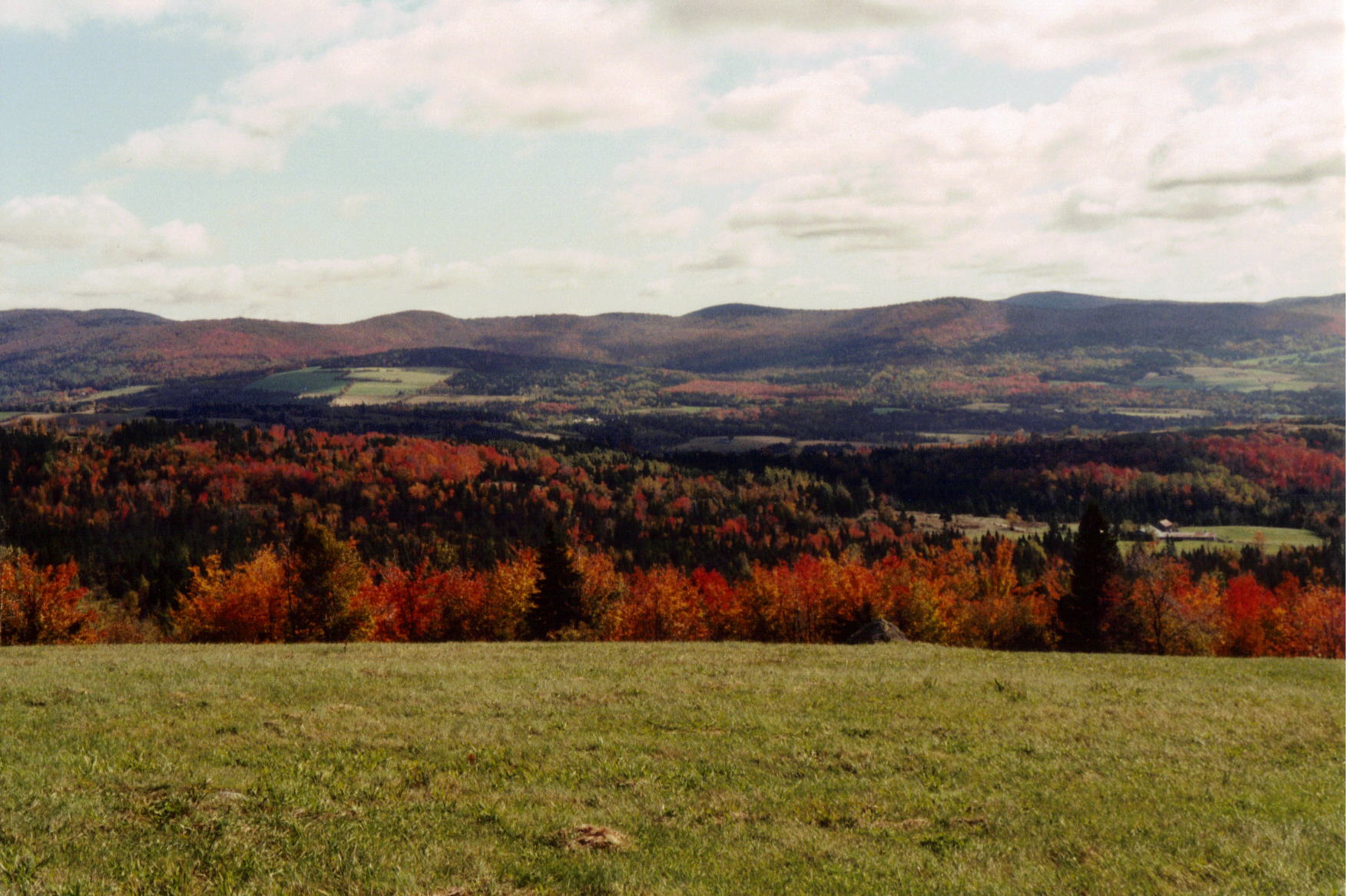
Back Roads Vista
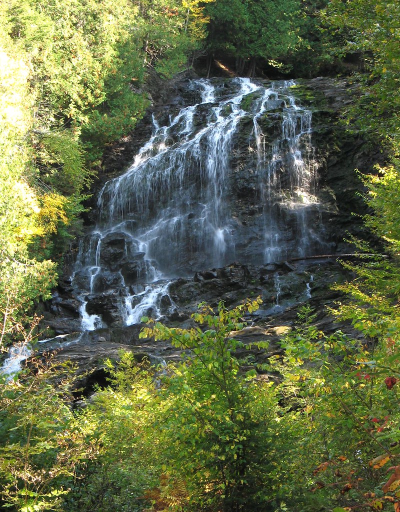
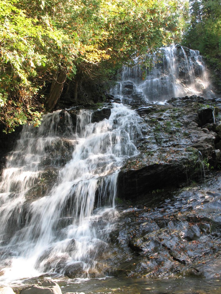
Beaver Brook Falls
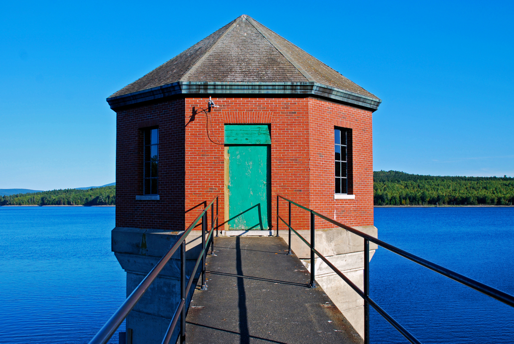
Lake Francis gatehouse at Murphy Dam

Water... Fall #newhampshire #waterfall #fall #explore #travel
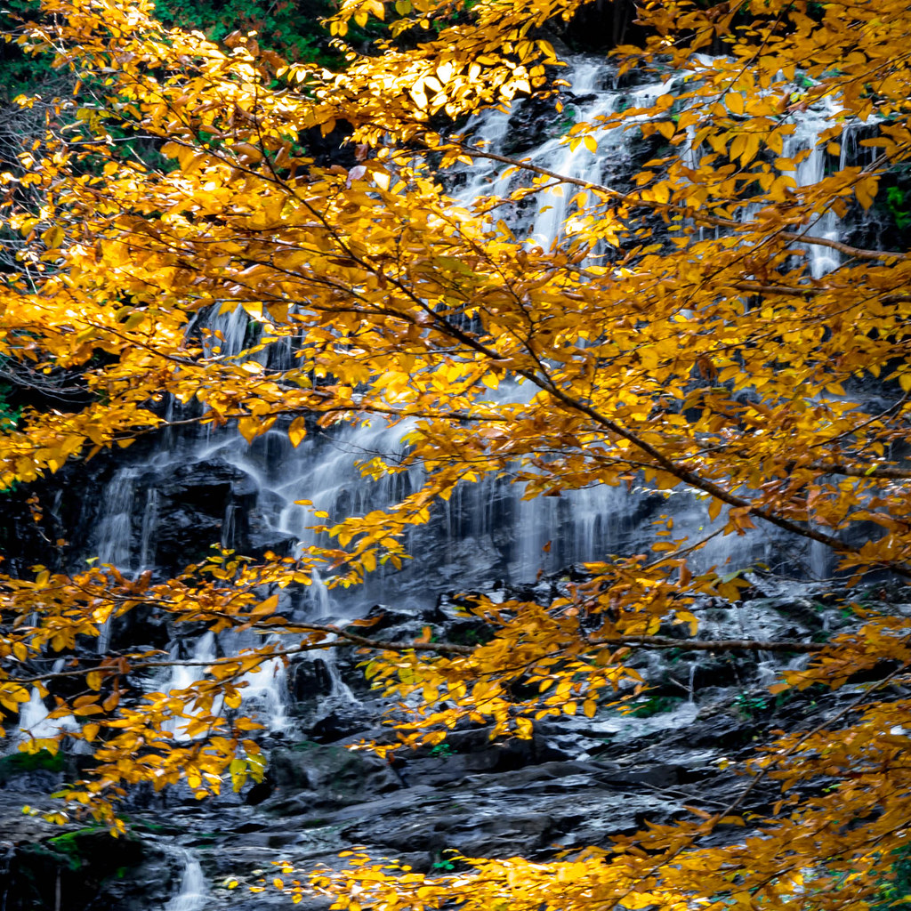
Beaver Brook Veil

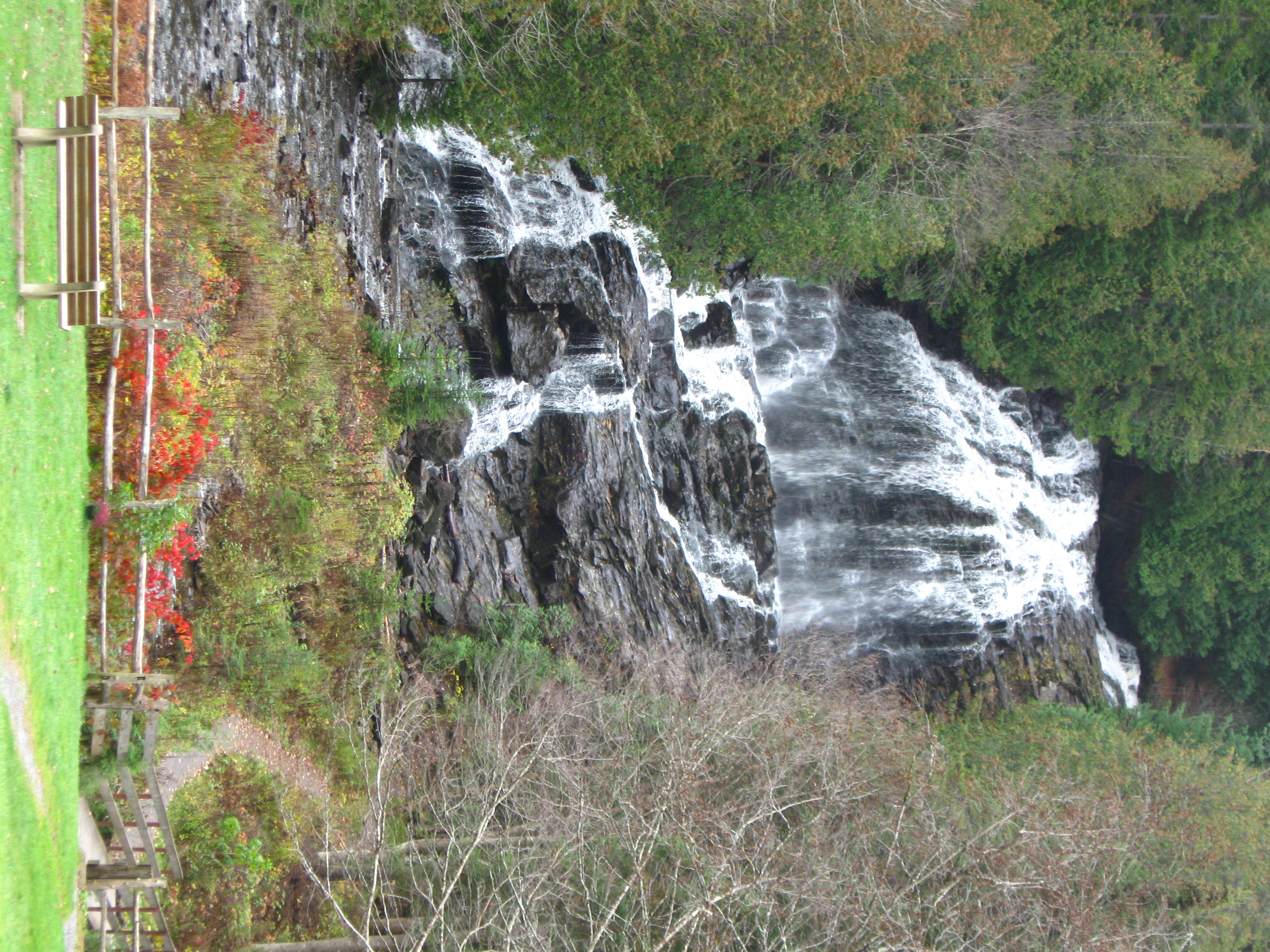
Beaver Brook Falls, Colebrook, New Hampshire
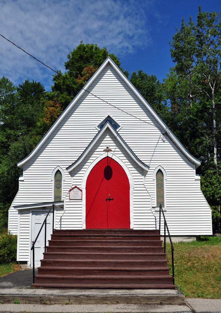
St Paul's Episcopal Chruch, Canaan, Vermont
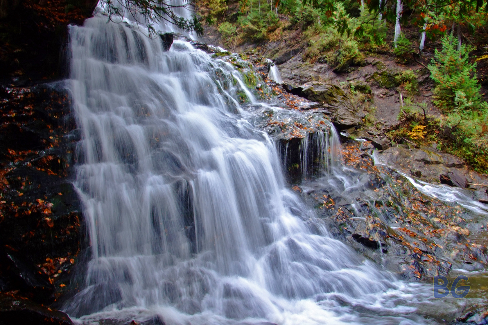
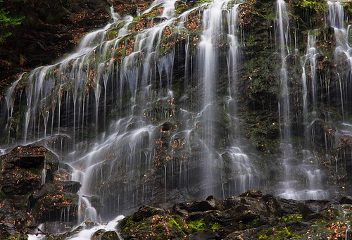
Beaver Brook Falls Closeup
Silky Beaver Brook Falls
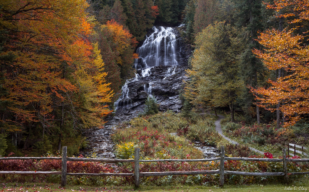
Beaver Brook Waterfall, New Hampshire
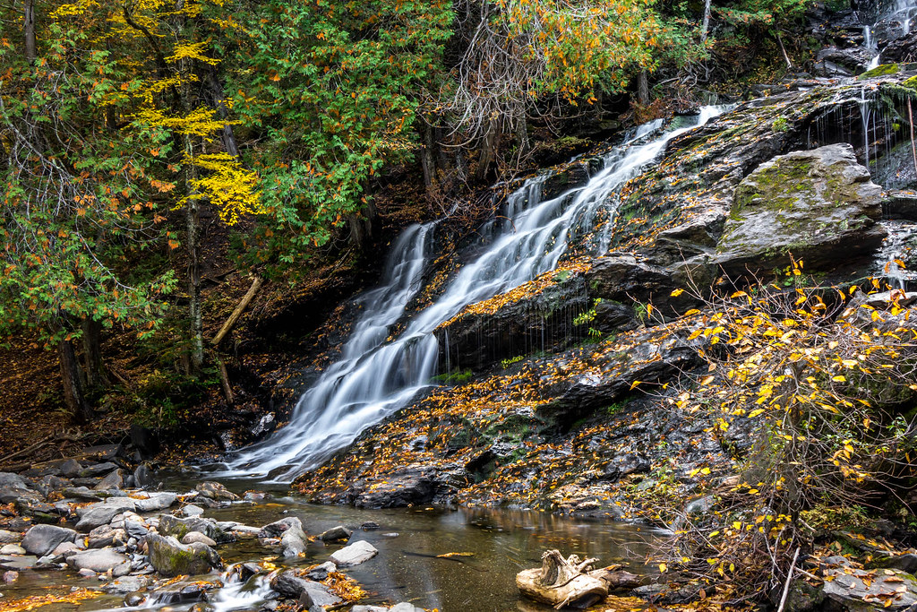
Beaver Brook Waterfall Foliage, New Hampshire
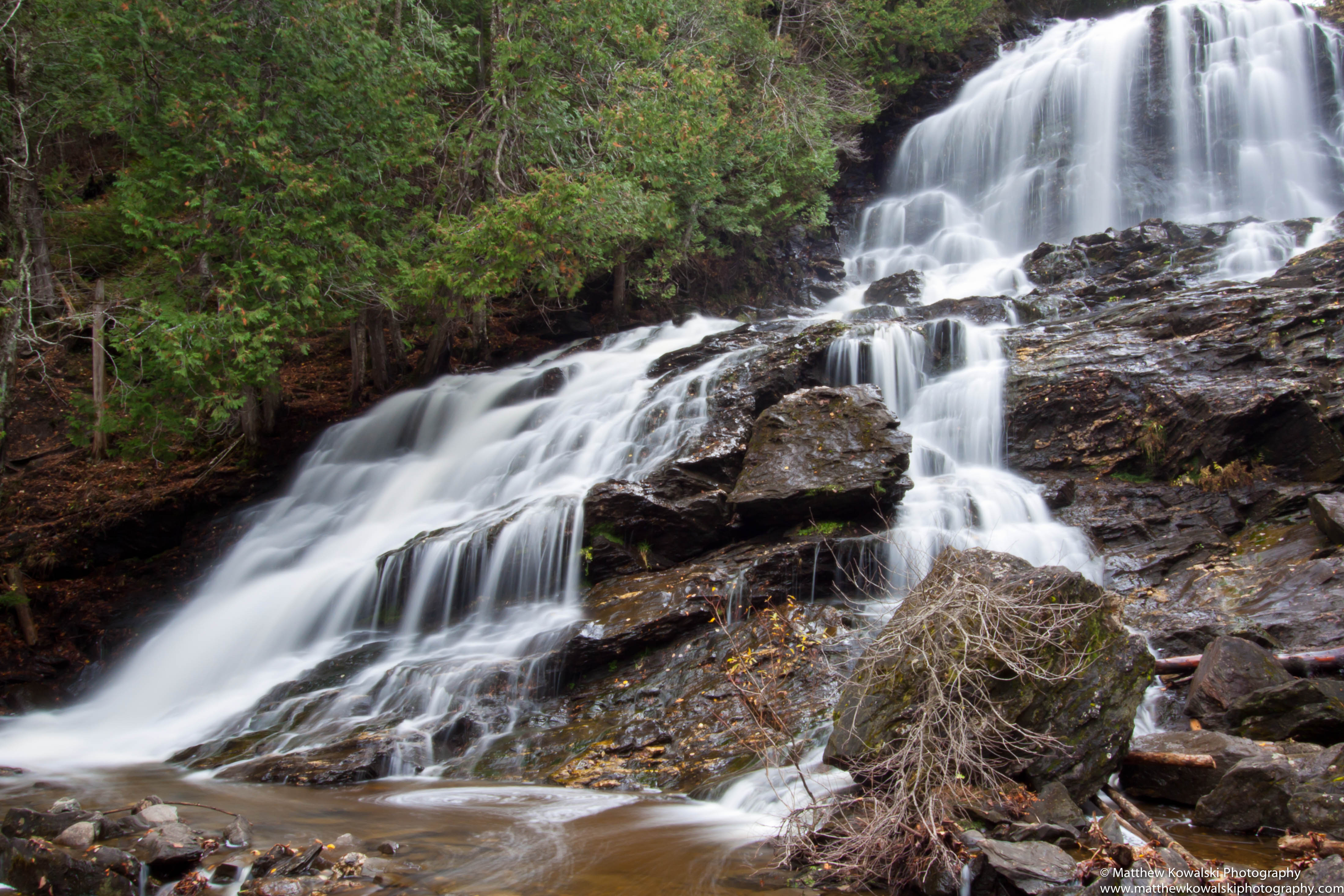
Beaver Brook Falls
BeaverBrook2-EE
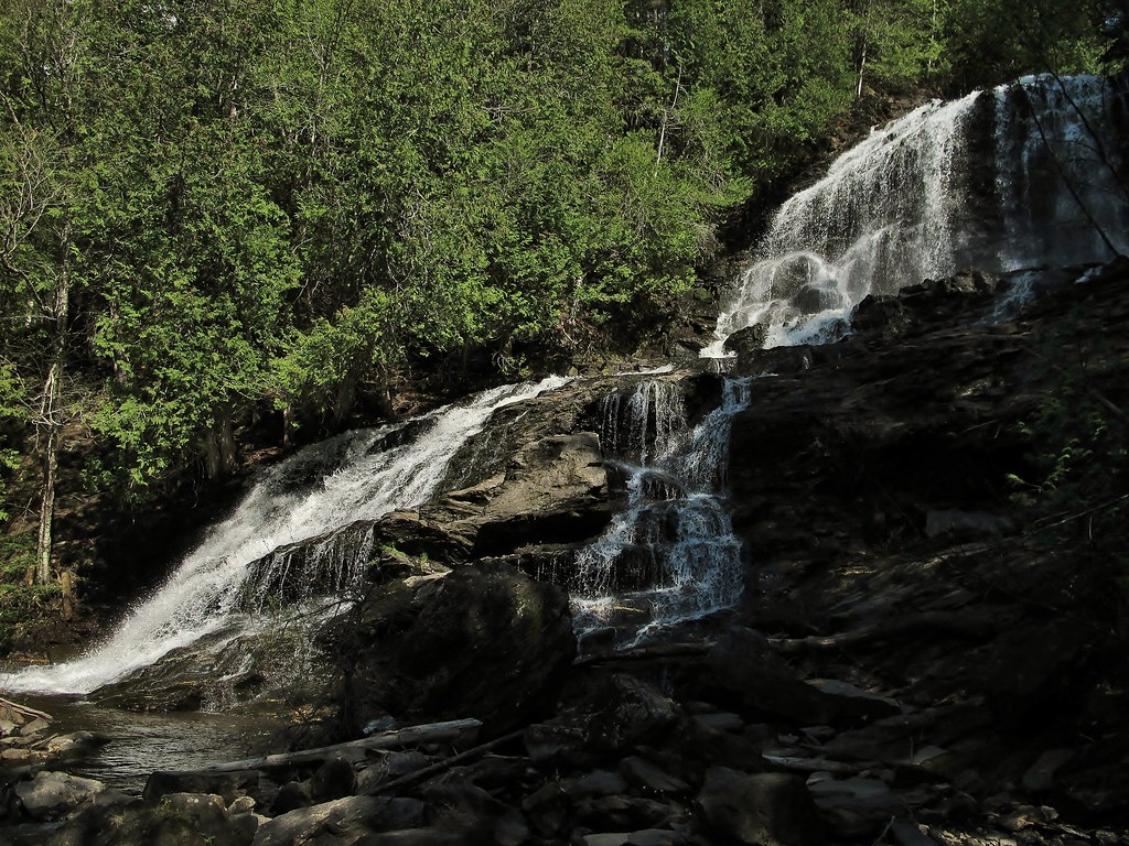
Beaver Brook Falls
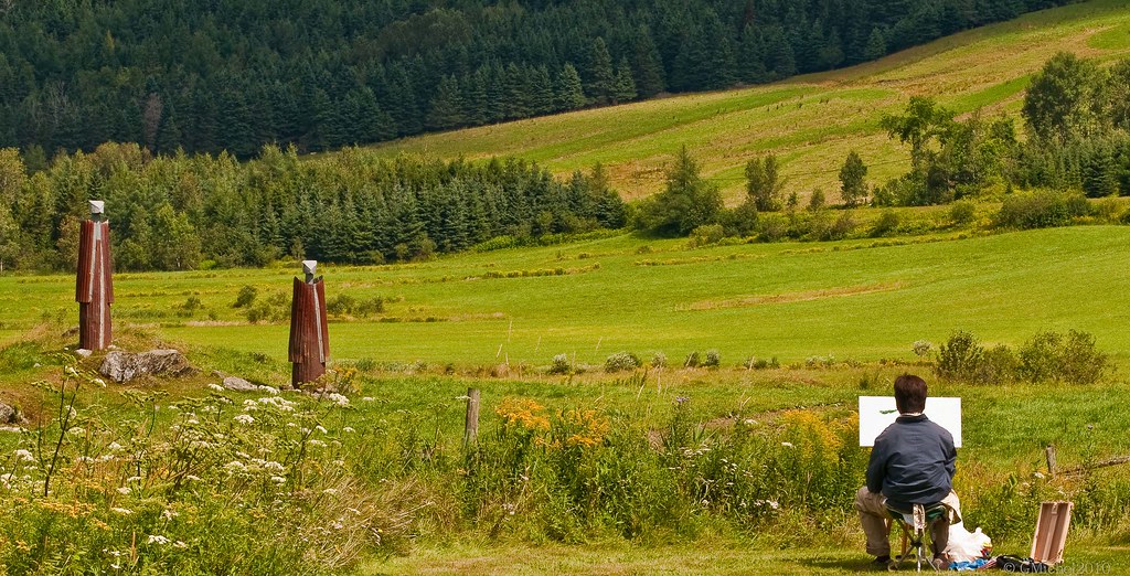
Atelier de photographie
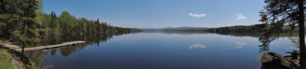
Lake Francis
BeaverBrook1-EE
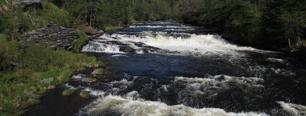
Connecticut River
Topographic Map of Stewartstown, NH, USA
Find elevation by address:

Places in Stewartstown, NH, USA:
Places near Stewartstown, NH, USA:
329 Chemin Des Côtes
East Hereford
390 Rue Principale
East Hereford
VT-, Canaan, VT, USA
3 Spruce Ln
Lac Wallace
Pittsburg
Saint-venant-de-paquette
8 Rue du Village, East Hereford, QC J0B 1S0, Canada
Paquette
Saint-herménégilde
40 Foote Road
Shanta Lane
Saint-malo
Saint-herménégilde
159 Rue Principale
111 Hillside Dr
Saint-malo
Coaticook Regional County Municipality
Recent Searches:
- Elevation of Corso Fratelli Cairoli, 35, Macerata MC, Italy
- Elevation of Tallevast Rd, Sarasota, FL, USA
- Elevation of 4th St E, Sonoma, CA, USA
- Elevation of Black Hollow Rd, Pennsdale, PA, USA
- Elevation of Oakland Ave, Williamsport, PA, USA
- Elevation of Pedrógão Grande, Portugal
- Elevation of Klee Dr, Martinsburg, WV, USA
- Elevation of Via Roma, Pieranica CR, Italy
- Elevation of Tavkvetili Mountain, Georgia
- Elevation of Hartfords Bluff Cir, Mt Pleasant, SC, USA