Elevation of 40 Foote Road, Pittsburg, NH, USA
Location: United States > New Hampshire > Coos County > Pittsburg >
Longitude: -71.346728
Latitude: 45.0503457
Elevation: 430m / 1411feet
Barometric Pressure: 96KPa
Elevation Map:
Satellite Map:
Related Photos:

Staggered truss bridge @ Canaan

WEVF transmitter site

Lake Francis gatehouse at Murphy Dam

Saint-Venat-De-Paquette

MRC de Coaticook-2-2

Hommes de pierre

DSC_0961_2_3_4_5P-HDR-RS.jpg

DSC_1004_5_6_7_8P-HDR-RS.jpg

DSC_0873_4_5_6P-HDR-RS.jpg

0830171914b-EDIT

DSC_1091_2_3_4_5P-HDR-RS.jpg

First Connecticut Lake, New Hampshire

DJI_0021-EDIT

Connecticut River, Pittsburg, NH

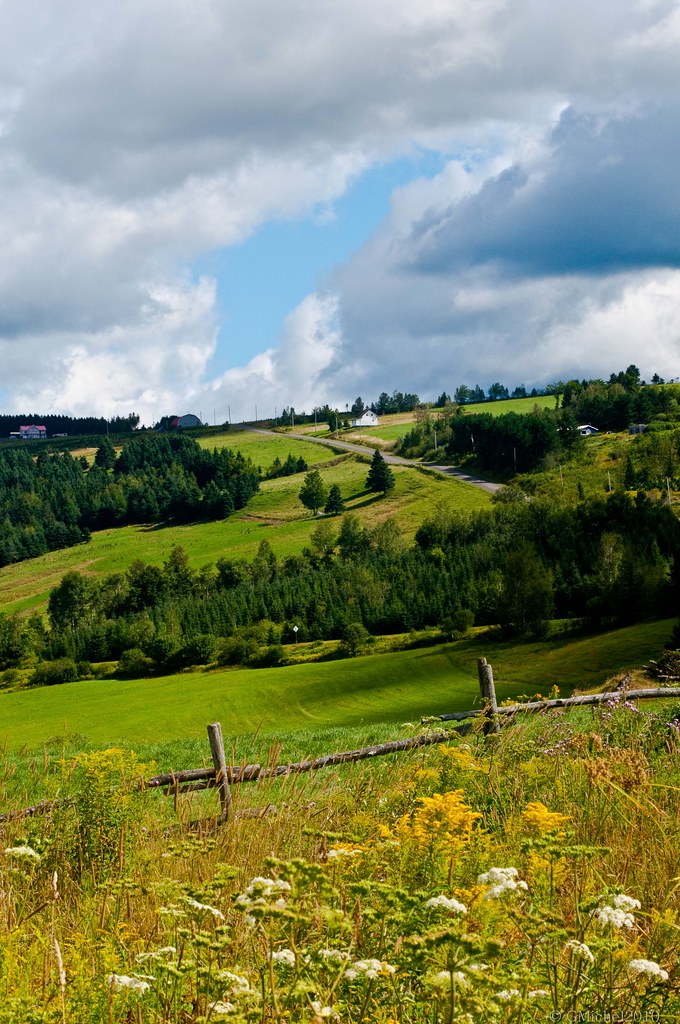
150713 Route 253 à St-Venant-de-Paquette -1179

Remote road near Saint-Venant-de-Paquette
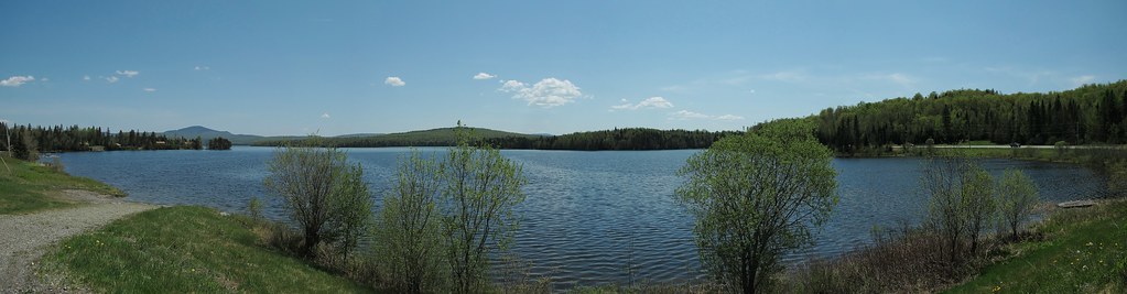
First Connecticut Lake

absolute serenity!
Atelier de photographie

Saint-Venant-de Paquete

Saint-Venant-de Paquete

First Connecticut Lake
Topographic Map of 40 Foote Road, Pittsburg, NH, USA
Find elevation by address:

Places near 40 Foote Road, Pittsburg, NH, USA:
111 Hillside Dr
Pittsburg
3 Spruce Ln
Shanta Lane
70 River Rd
44 Stewart Young Road
First Connecticut Lake
36 Holly Ln
36 Holly Ln
Paquette
8 Rue du Village, East Hereford, QC J0B 1S0, Canada
Saint-venant-de-paquette
390 Rue Principale
East Hereford
Stewartstown
East Hereford
329 Chemin Des Côtes
Saint-malo
159 Rue Principale
Saint-malo
Recent Searches:
- Elevation of Rojo Ct, Atascadero, CA, USA
- Elevation of Flagstaff Drive, Flagstaff Dr, North Carolina, USA
- Elevation of Avery Ln, Lakeland, FL, USA
- Elevation of Woolwine, VA, USA
- Elevation of Lumagwas Diversified Farmers Multi-Purpose Cooperative, Lumagwas, Adtuyon, RV32+MH7, Pangantucan, Bukidnon, Philippines
- Elevation of Homestead Ridge, New Braunfels, TX, USA
- Elevation of Orchard Road, Orchard Rd, Marlborough, NY, USA
- Elevation of 12 Hutchinson Woods Dr, Fletcher, NC, USA
- Elevation of Holloway Ave, San Francisco, CA, USA
- Elevation of Norfolk, NY, USA