Elevation of Sterling Township, IL, USA
Location: United States > Illinois > Whiteside County >
Longitude: -89.681620
Latitude: 41.8198872
Elevation: 214m / 702feet
Barometric Pressure: 99KPa
Elevation Map:
Satellite Map:
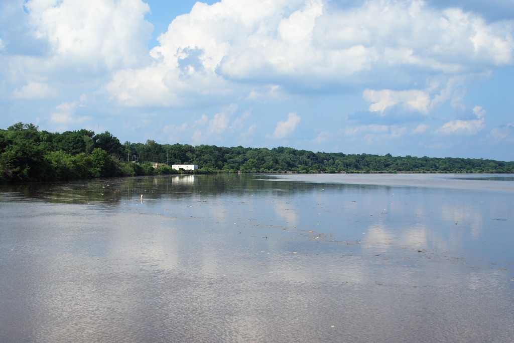
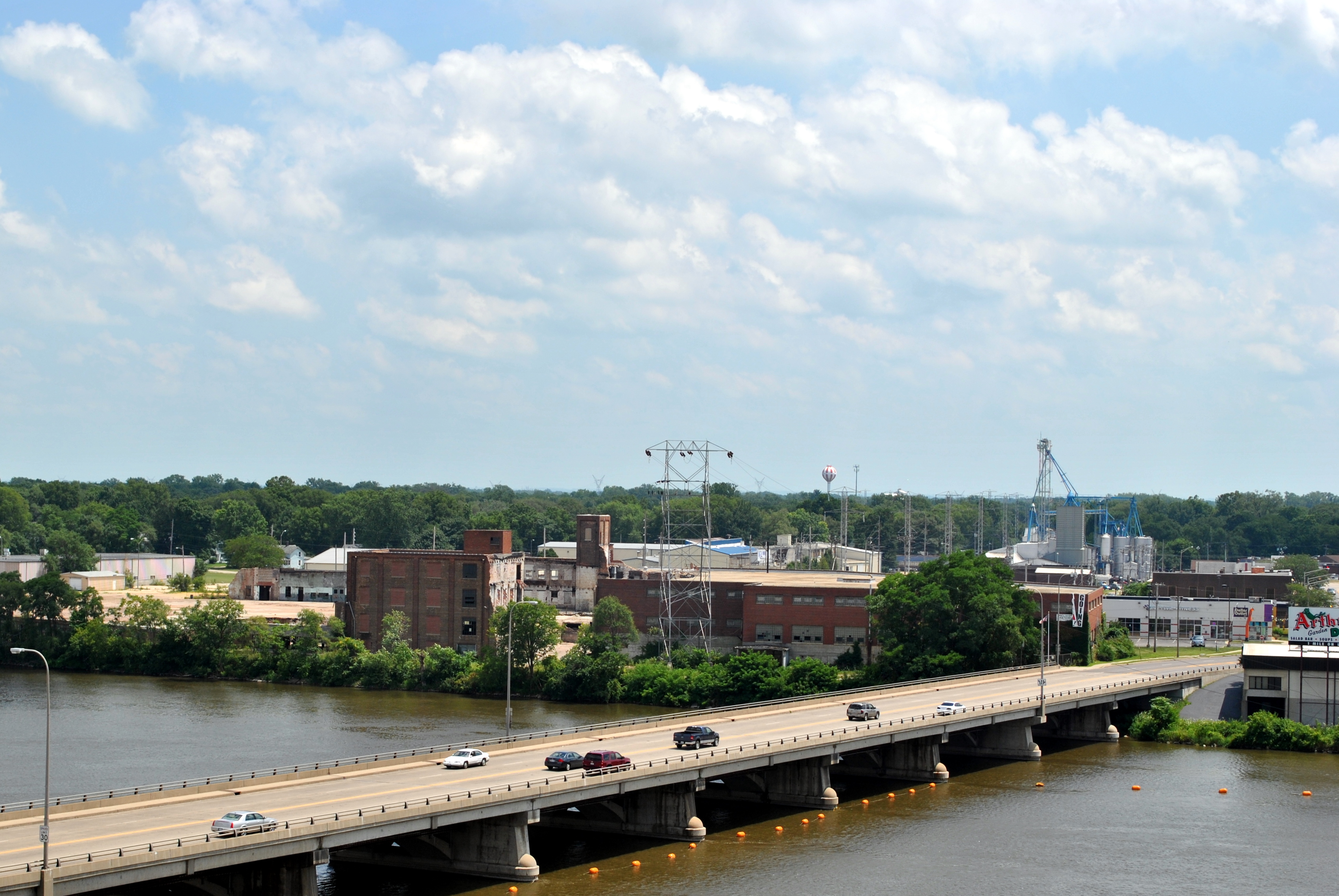
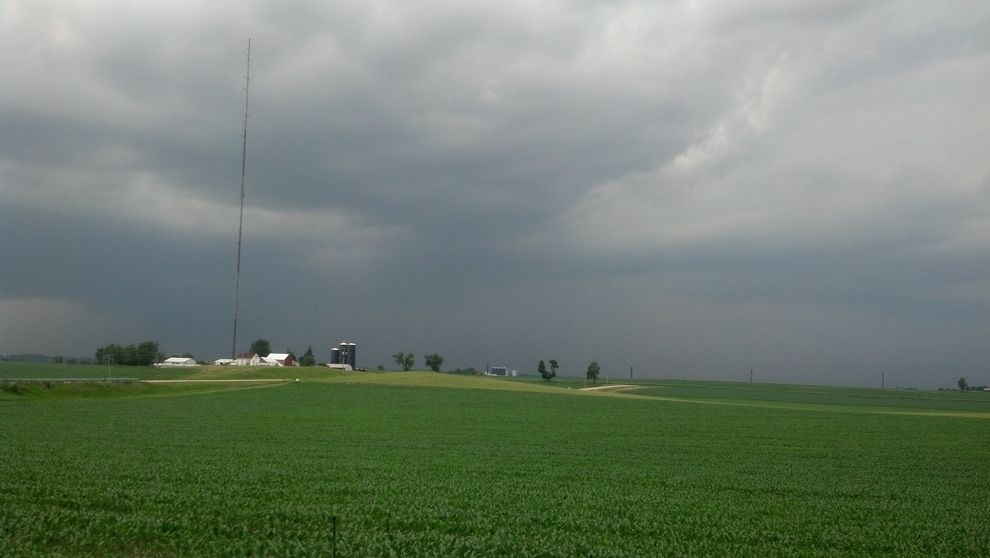
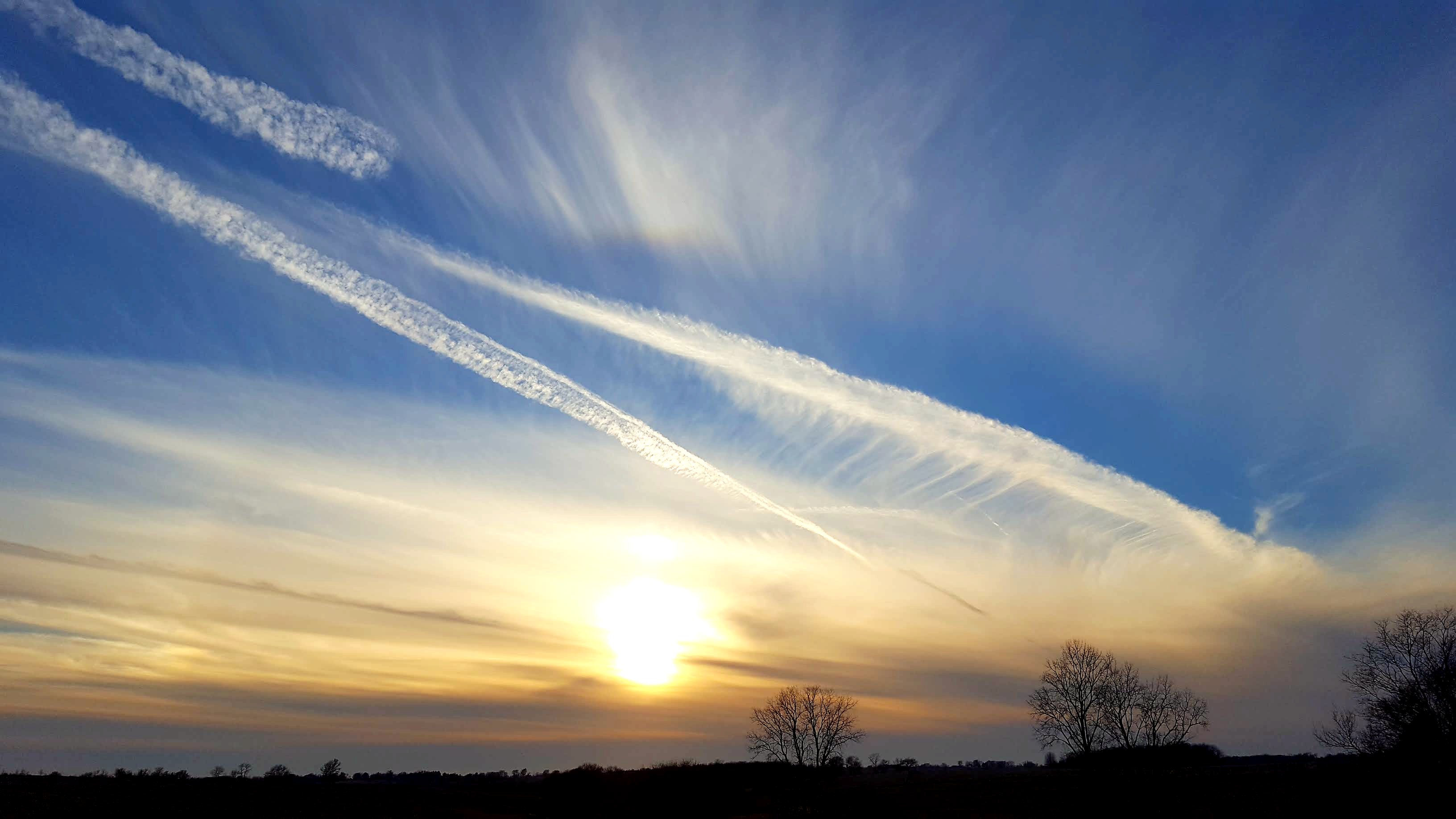
Related Photos:
a death on the prairie...
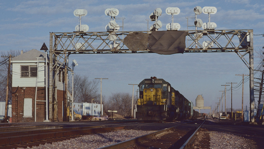
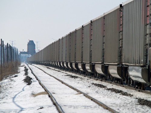
C&NW 6908 West at Nelson, IL
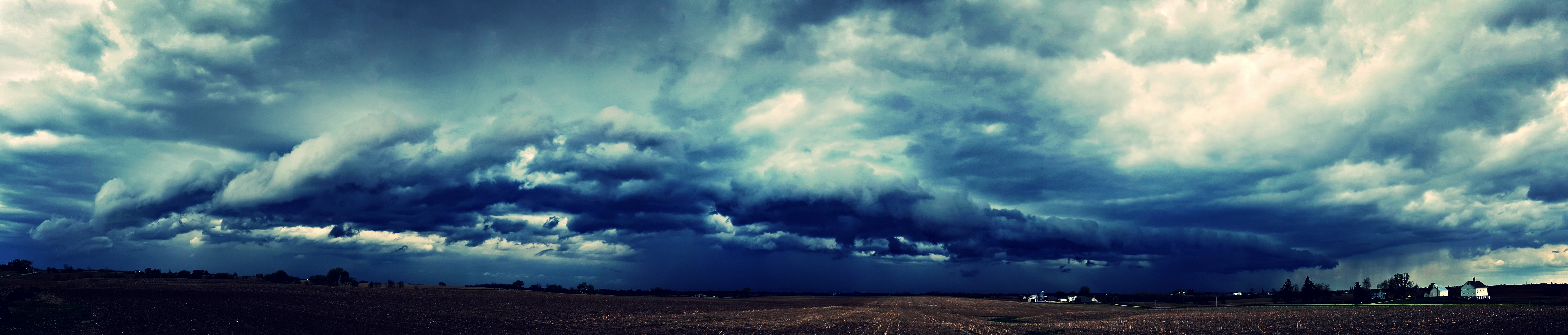
squall line...

Black Bird

CB&Q #9208 Sterling, Illinois #2
the incursion...
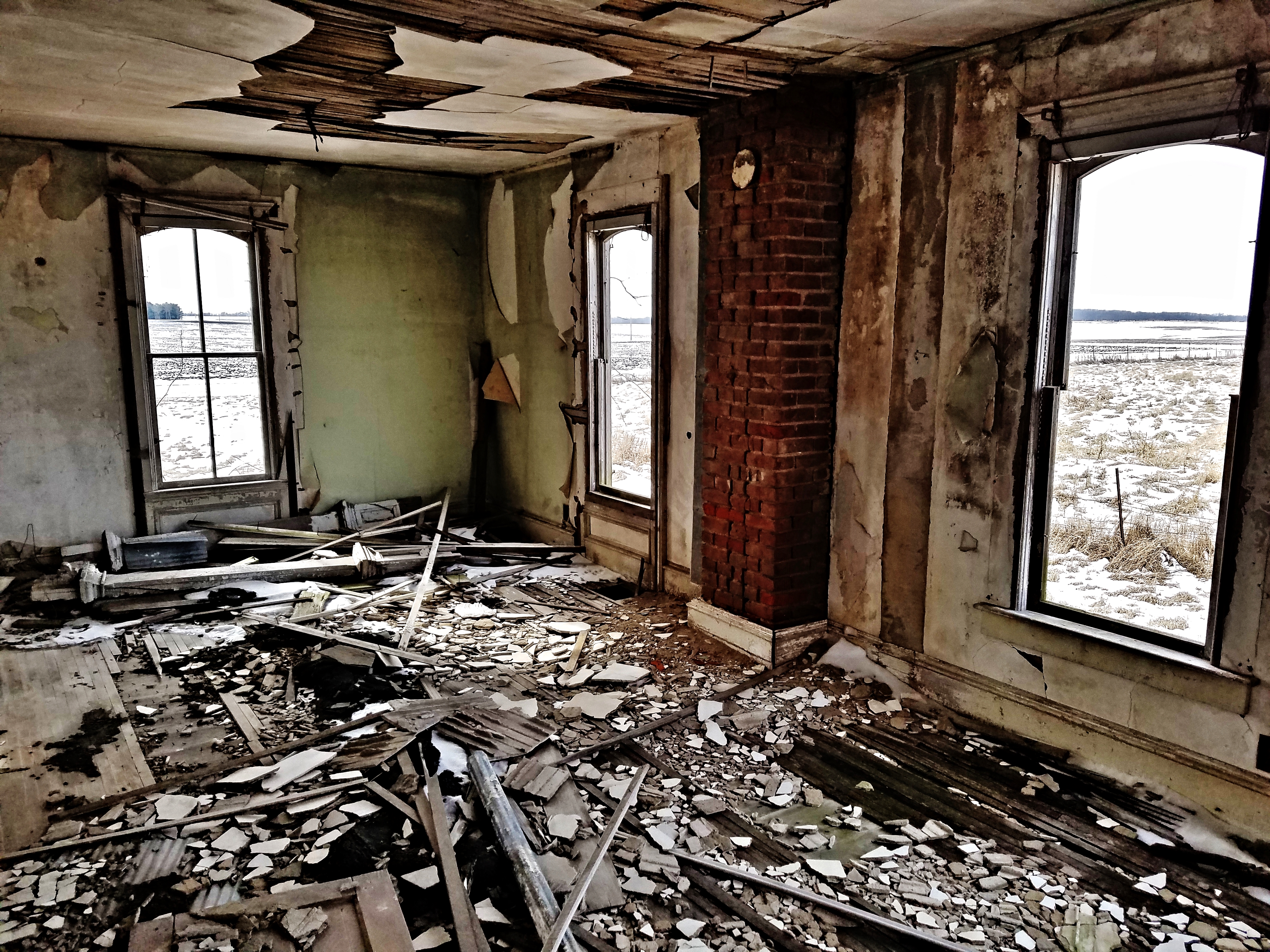
Exposed backside
Chicken house drift
Wider View

Bald Eagle
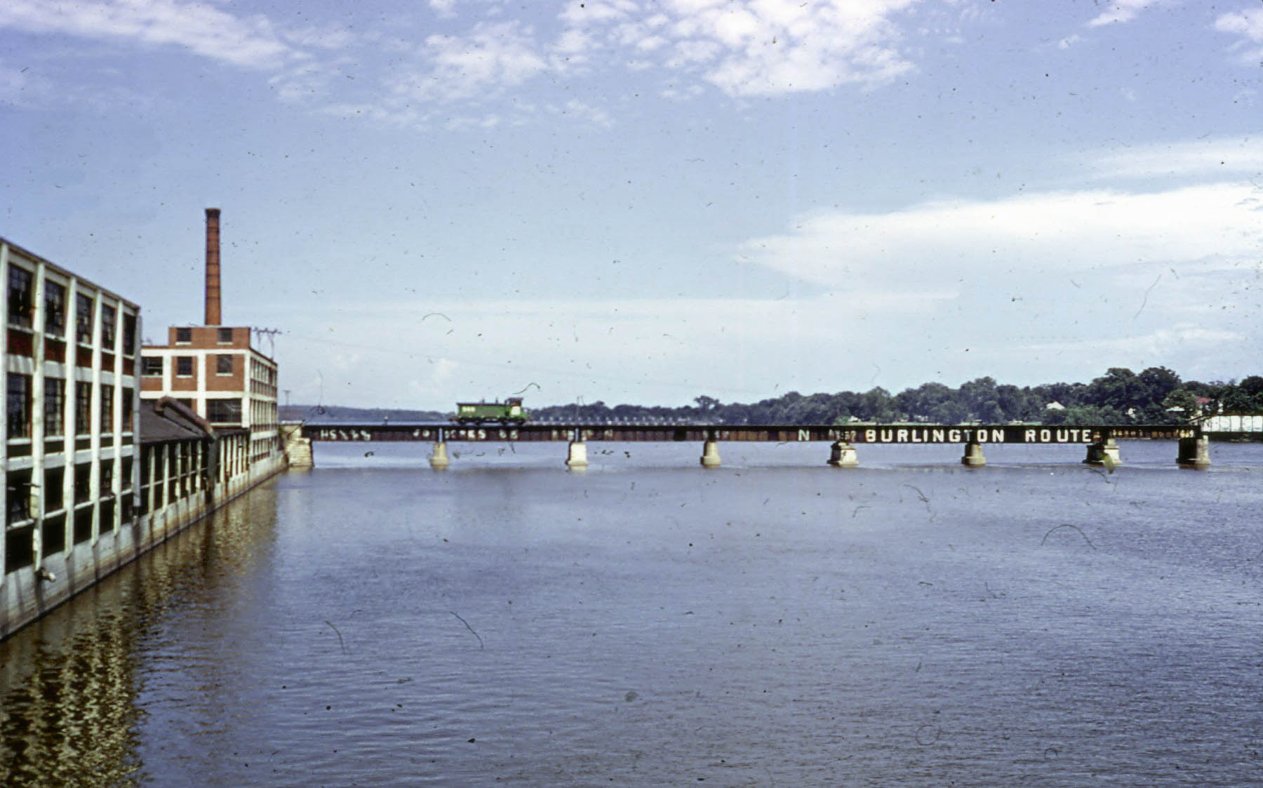
View From Ave. G Bridge Sterling, IL
Heat Shimmer
Still Stranded at Galt

Bald Eagle

In Flight
Photo-genic

Thayer's Gull 26 NOV 2013 in Lee Co IL
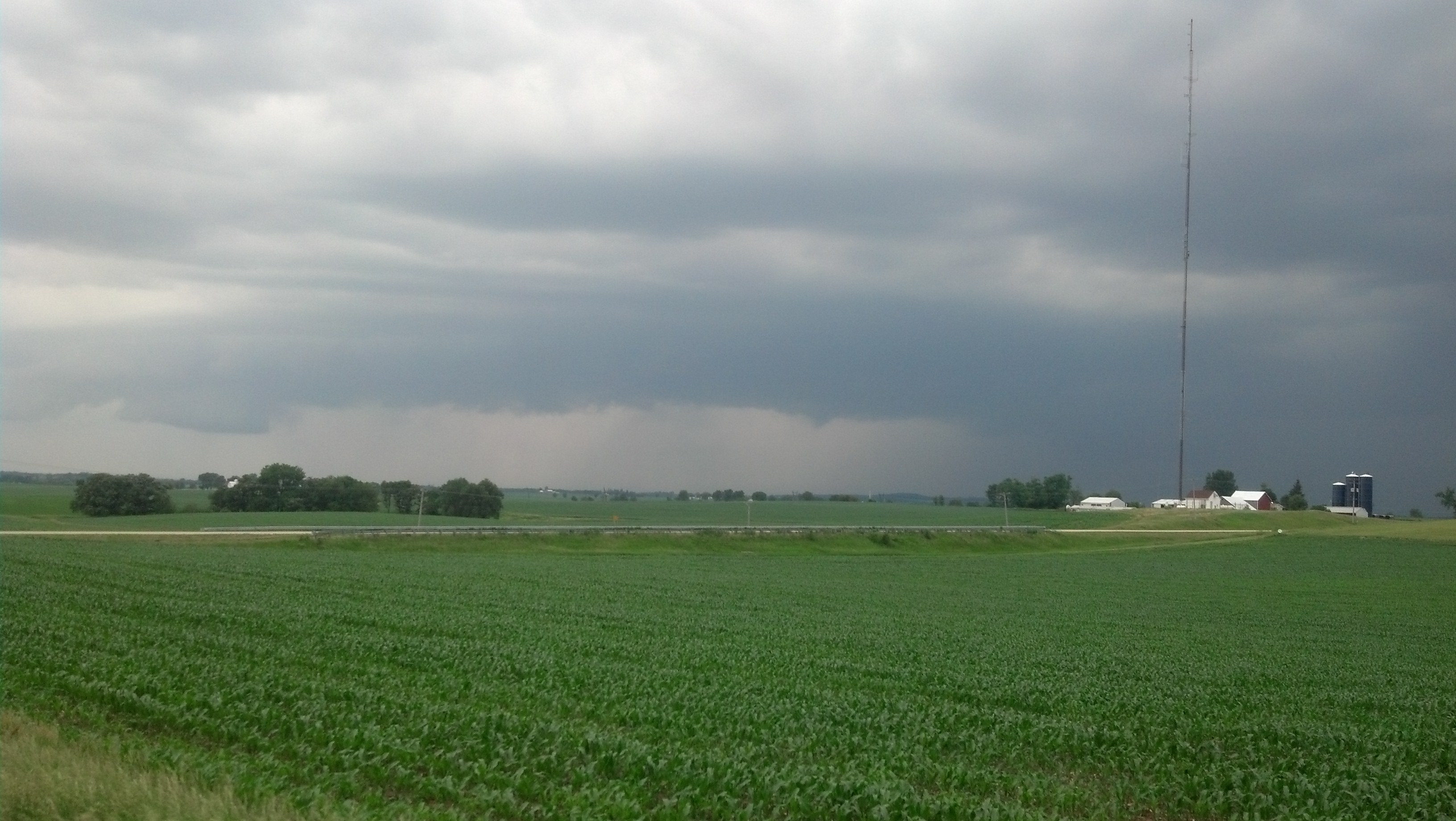
Lee county storm.
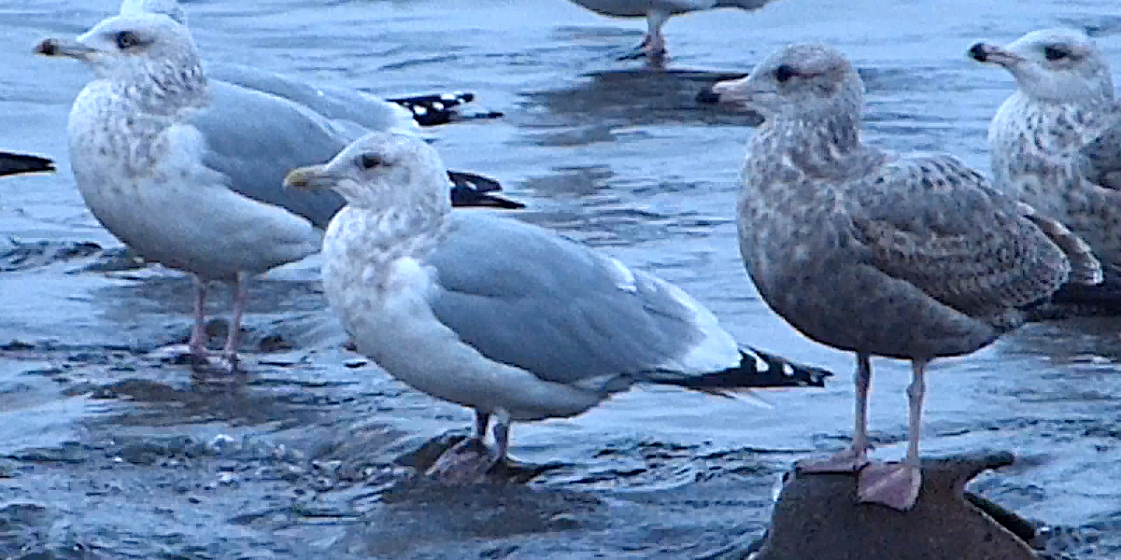
Thayer's Gull 26 NOV 2013 in Lee Co IL
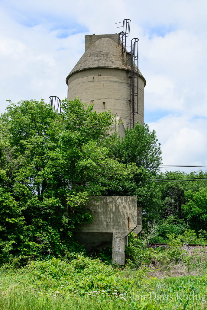
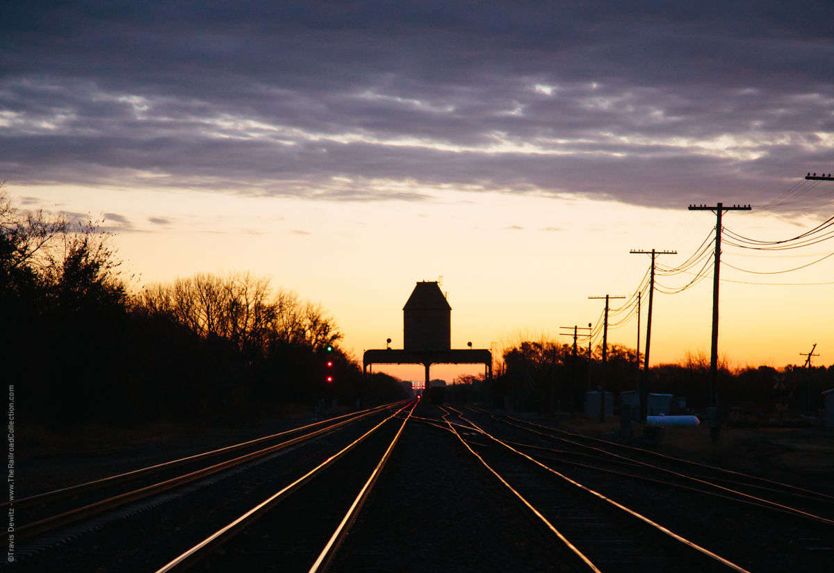
Coaling Tower
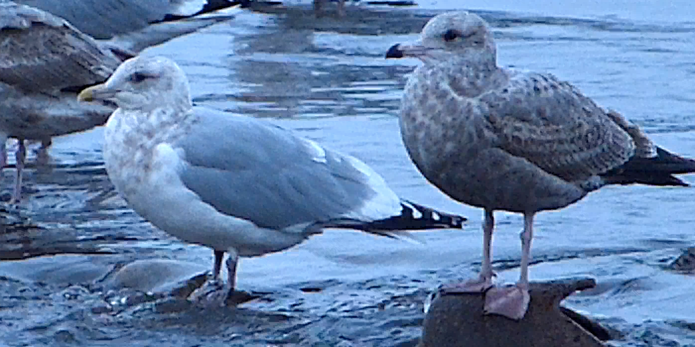
Thayer's Gull 26 NOV 2013 in Lee Co IL
the passage....
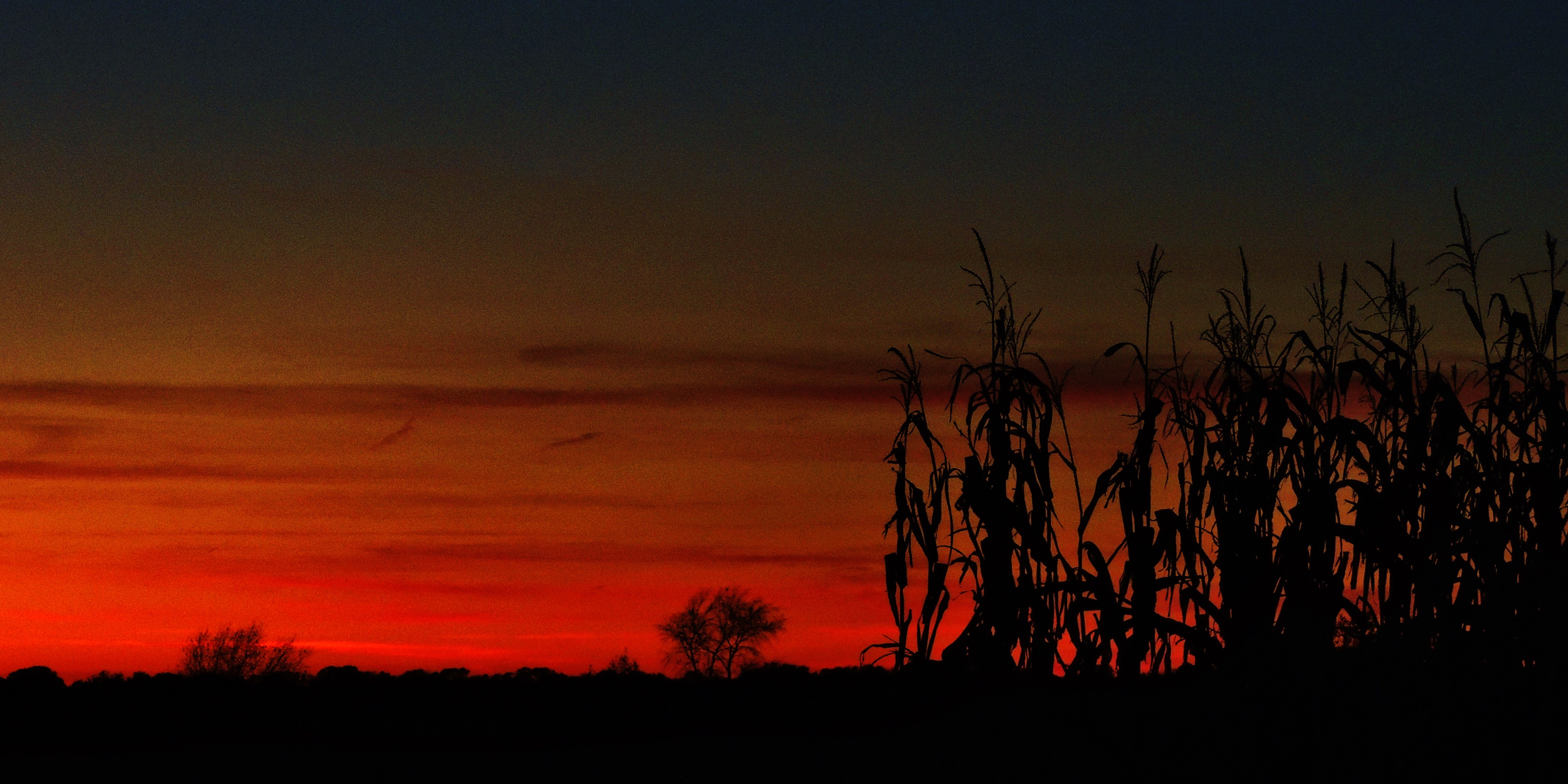
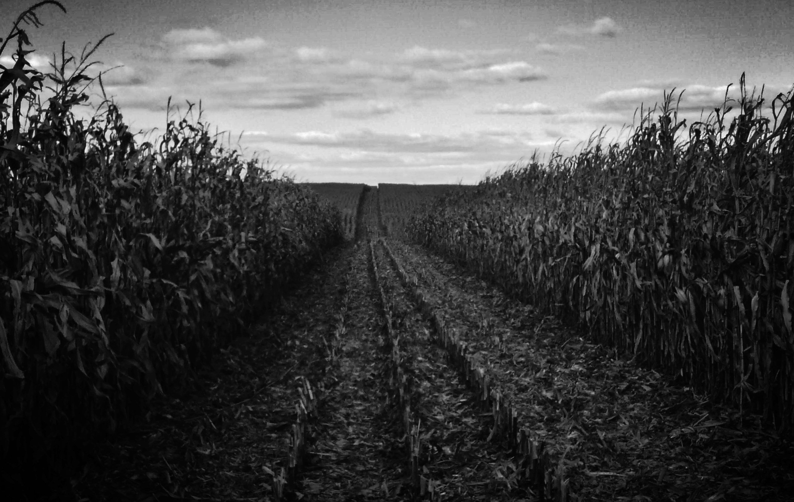
a farmer's autumn serenade...(HSS)

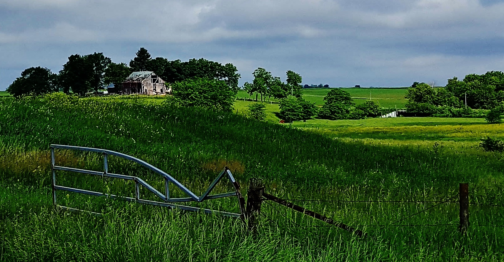
you can't see the fence for the trees...
lost in a sea of green....(HFF)
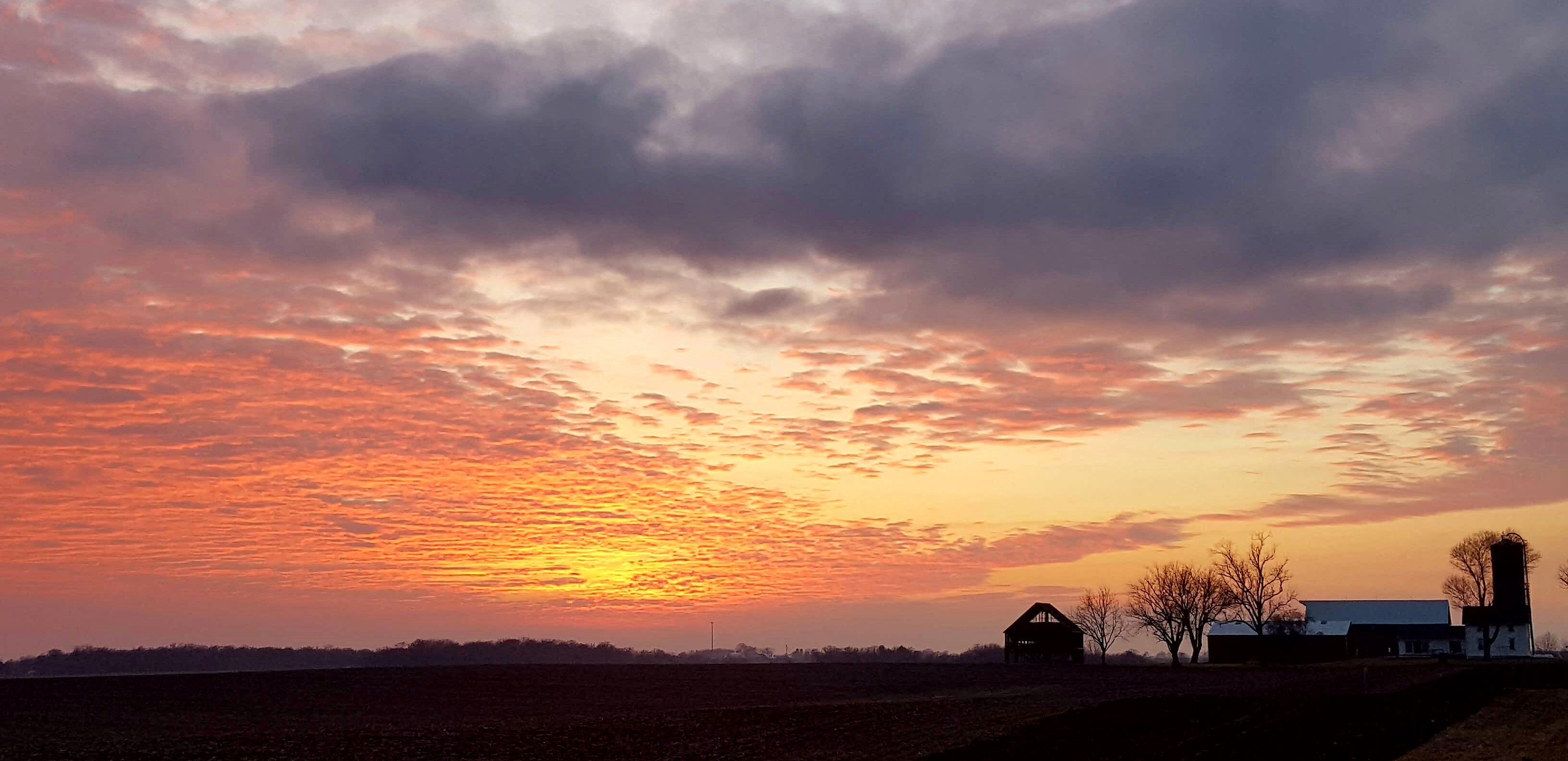
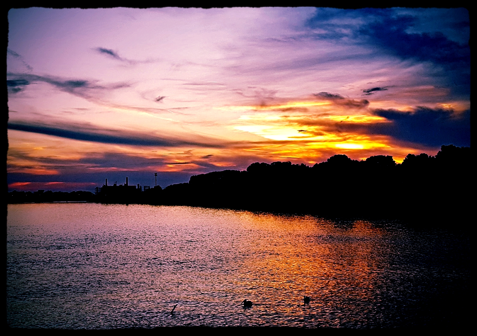
Sunset in Rock Falls
19740800 12 BN Sterling, IL
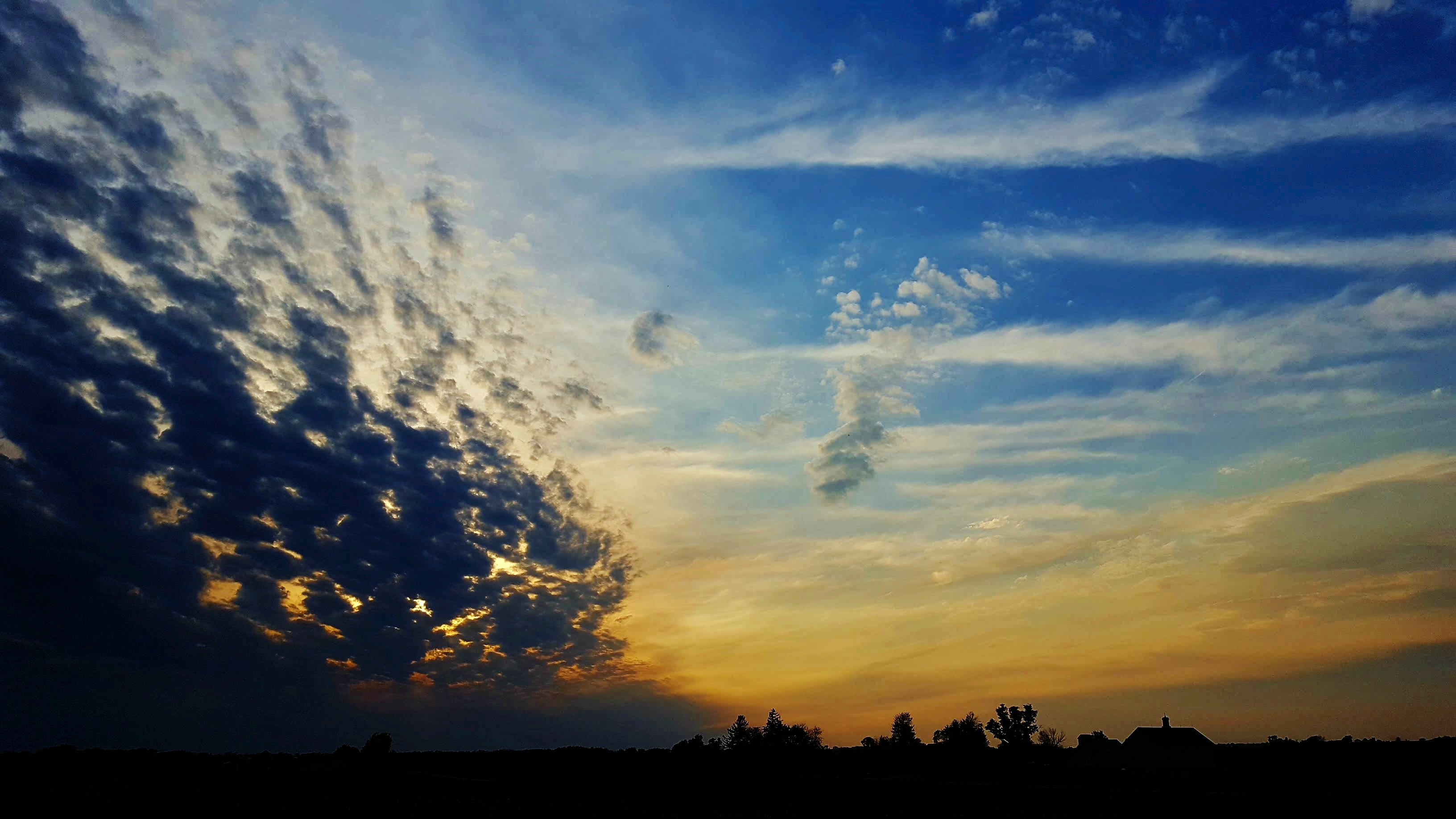
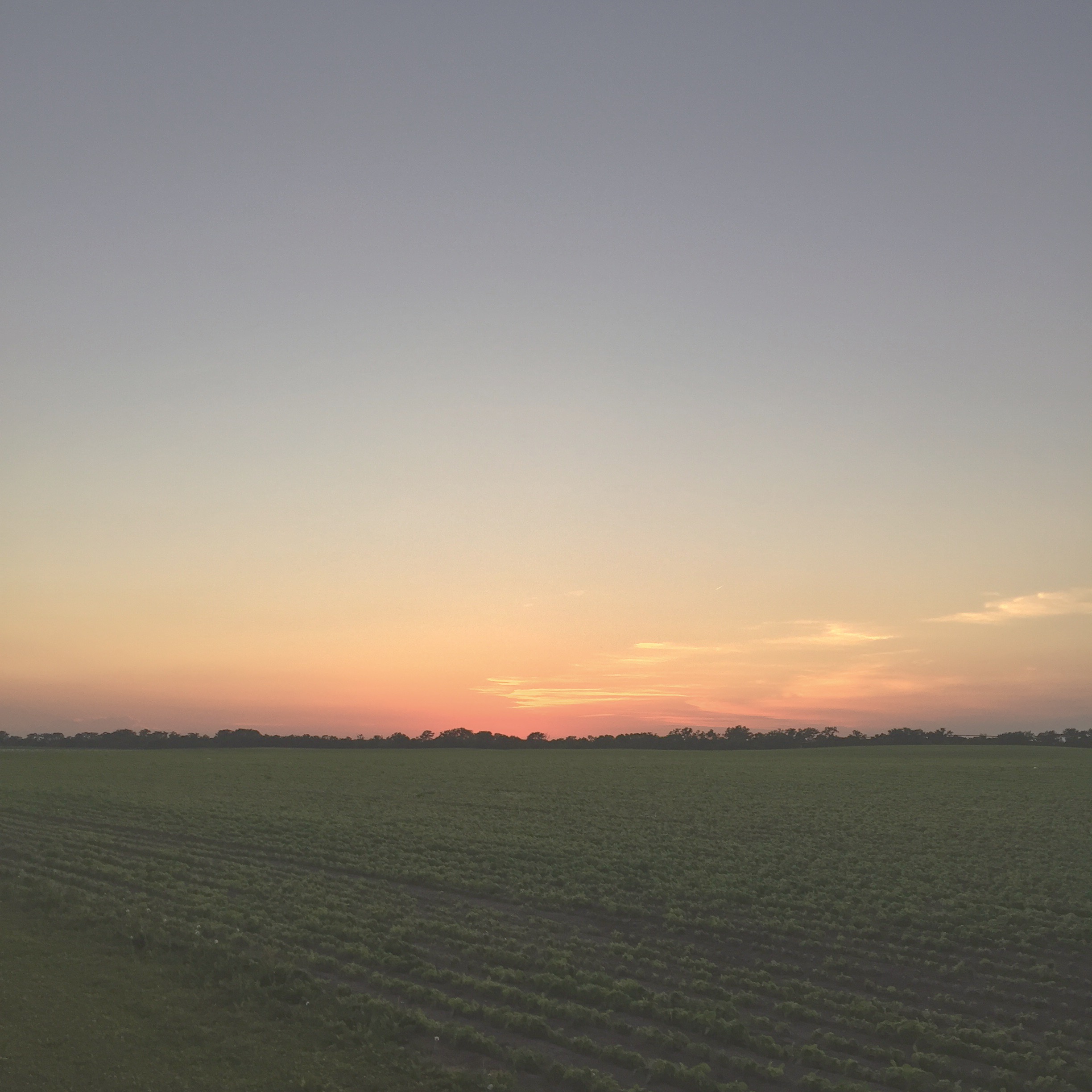
sundown...
#CloudFormations #skyview #skyline #Illinois

Lee County Storm
illinois...
Lee County Storms
2009 Fishkill img 0002
Rock Falls,Old RB &W
Lee county Storm
new journeys....
No. 3034 - Union Pacific - Nelson, Ill.
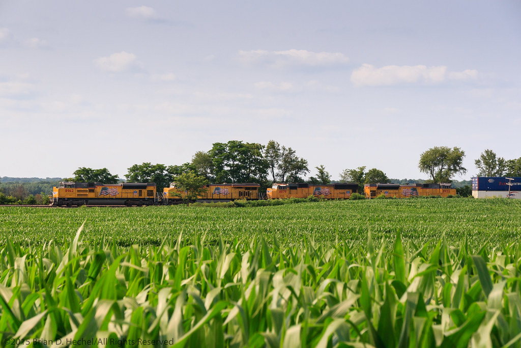
Flag Units on the Fourth
soulmates...
20150504 064551 1SL5
Rock Falls, Lower Dam
Topographic Map of Sterling Township, IL, USA
Find elevation by address:

Places in Sterling Township, IL, USA:
Places near Sterling Township, IL, USA:
2900 Locust St
1314 E 15th St
100 E Le Fevre Rd
711 2nd Ave
102 5th Ave
Sterling
1117 Hilltop Rd
127 Wallace St
Rock Falls
1509 Dixon Ave
Coloma Township
612 B Ct
612 W 12th St
25869 Science Ridge Rd
Fisher St, Sterling, IL, USA
Riverdale Rd, Rock Falls, IL, USA
22419 Moline Rd
Whiteside County
67 Yorktown Rd, Lyndon, IL, USA
Mount Pleasant Township
Recent Searches:
- Elevation of Redondo Ave, Long Beach, CA, USA
- Elevation of Sadovaya Ulitsa, 20, Rezh, Sverdlovskaya oblast', Russia
- Elevation of Ulitsa Kalinina, 79, Rezh, Sverdlovskaya oblast', Russia
- Elevation of 72-31 Metropolitan Ave, Middle Village, NY, USA
- Elevation of 76 Metropolitan Ave, Brooklyn, NY, USA
- Elevation of Alisal Rd, Solvang, CA, USA
- Elevation of Vista Blvd, Sparks, NV, USA
- Elevation of 15th Ave SE, St. Petersburg, FL, USA
- Elevation of Beall Road, Beall Rd, Florida, USA
- Elevation of Leguwa, Nepal