Elevation of Riverdale Rd, Rock Falls, IL, USA
Location: United States > Illinois > Whiteside County > Coloma Township > Rock Falls >
Longitude: -89.732845
Latitude: 41.7715022
Elevation: 194m / 636feet
Barometric Pressure: 99KPa
Elevation Map:
Satellite Map:
Related Photos:

CB&Q #9208 Sterling, Illinois #2
Wider View
C&NW 6908 West at Nelson, IL

Black Bird

Magenta Sunrise
Exposed backside
Still Stranded at Galt
Chicken house drift

Bald Eagle
View From Ave. G Bridge Sterling, IL

Heat Shimmer

Bald Eagle

In Flight

Photo-genic

Thayer's Gull 26 NOV 2013 in Lee Co IL

Thayer's Gull 26 NOV 2013 in Lee Co IL

Thayer's Gull 26 NOV 2013 in Lee Co IL

Thayer's Gull 26 NOV 2013 in Lee Co IL
Coaling Tower
An Old Church or School
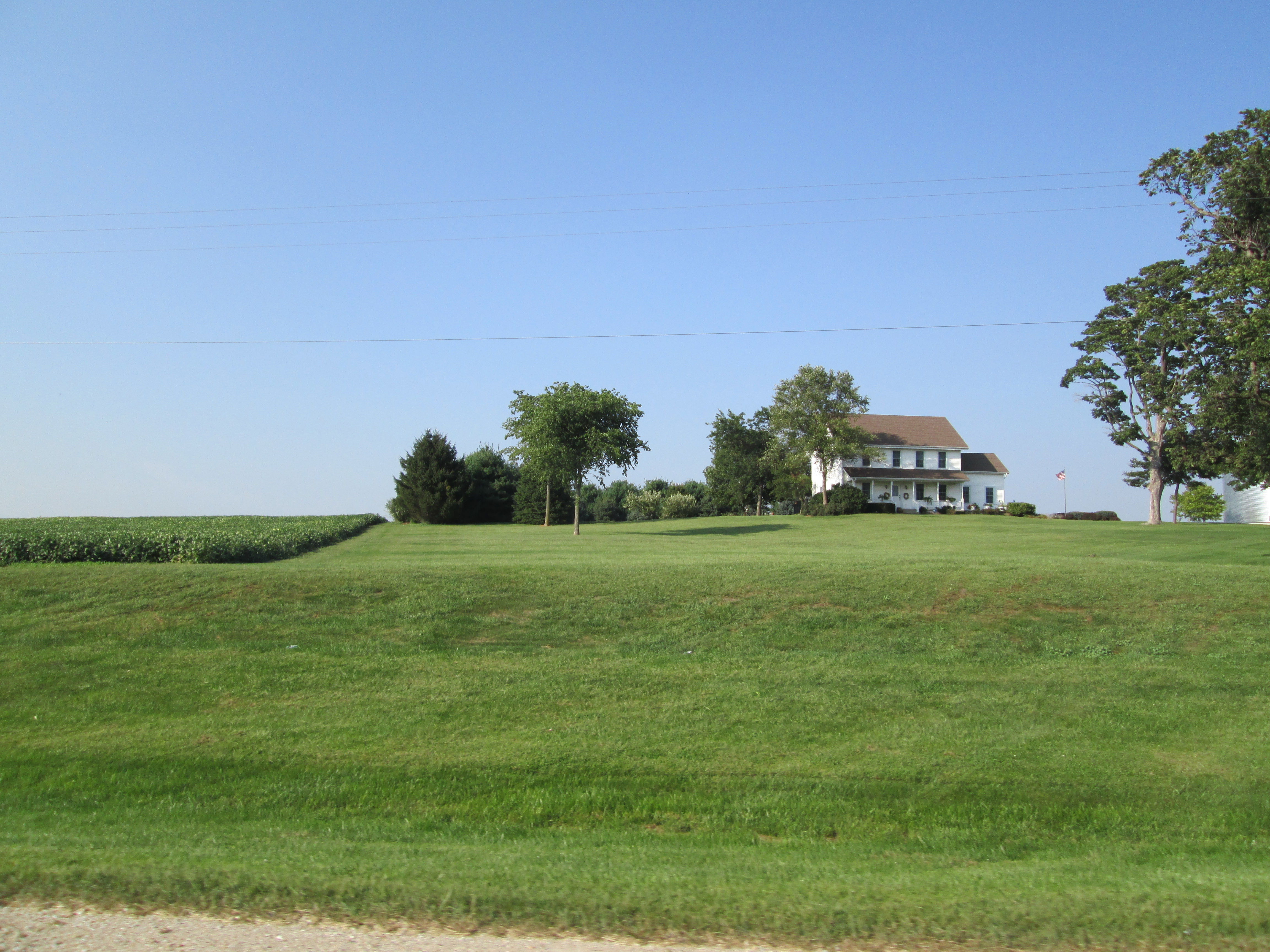
Nice Old Farmstead
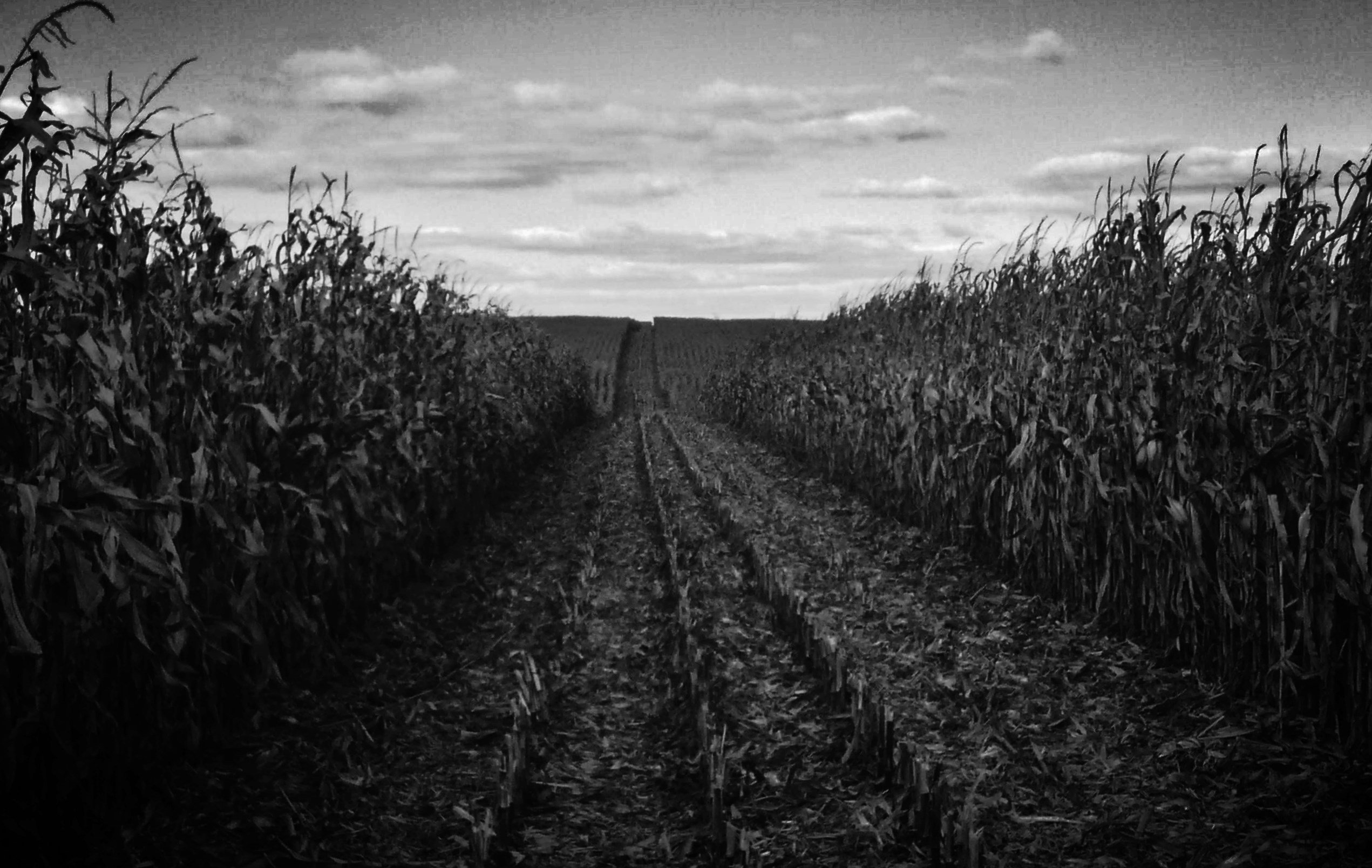
the passage....

a farmer's autumn serenade...(HSS)
Rock Falls,Old RB &W
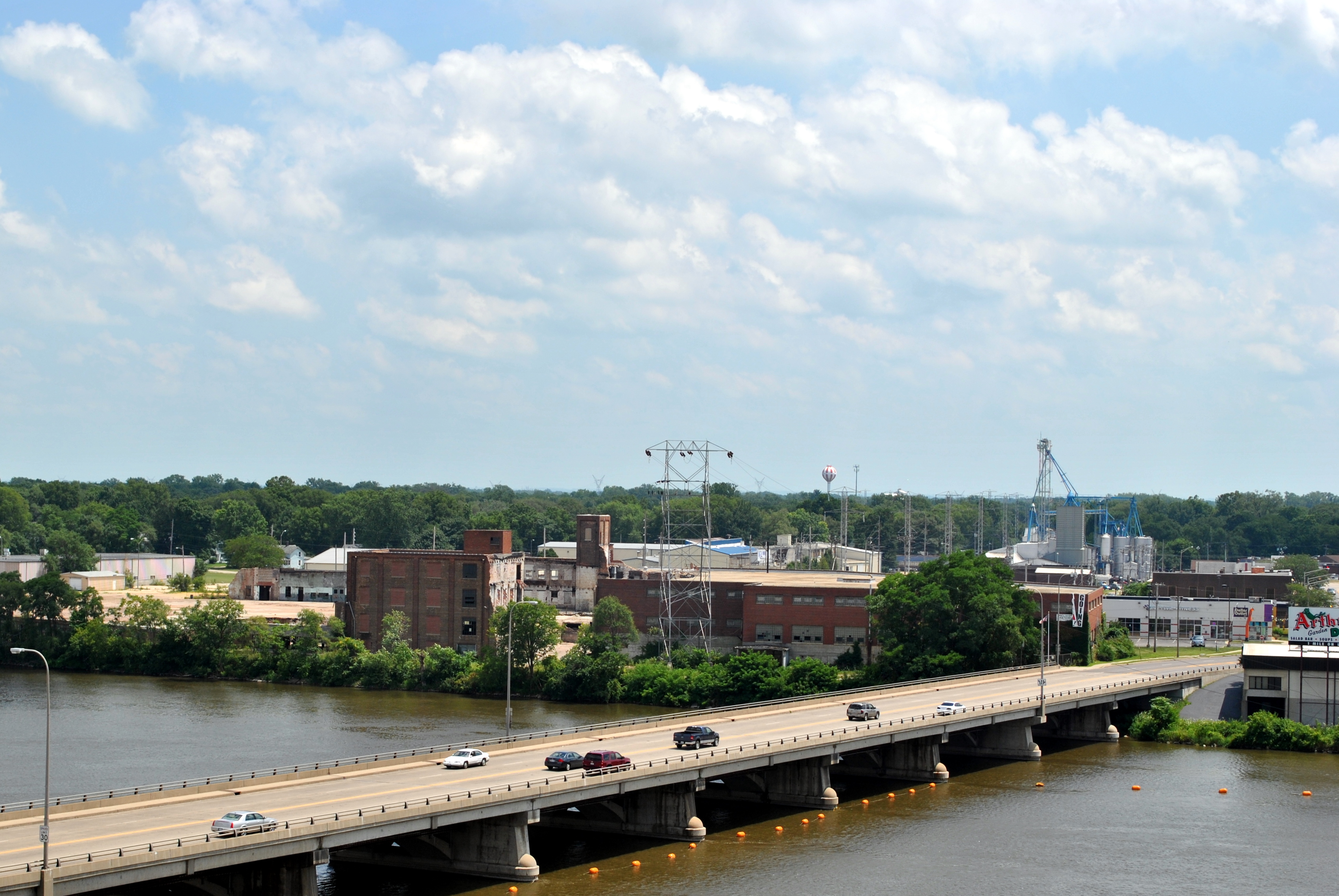
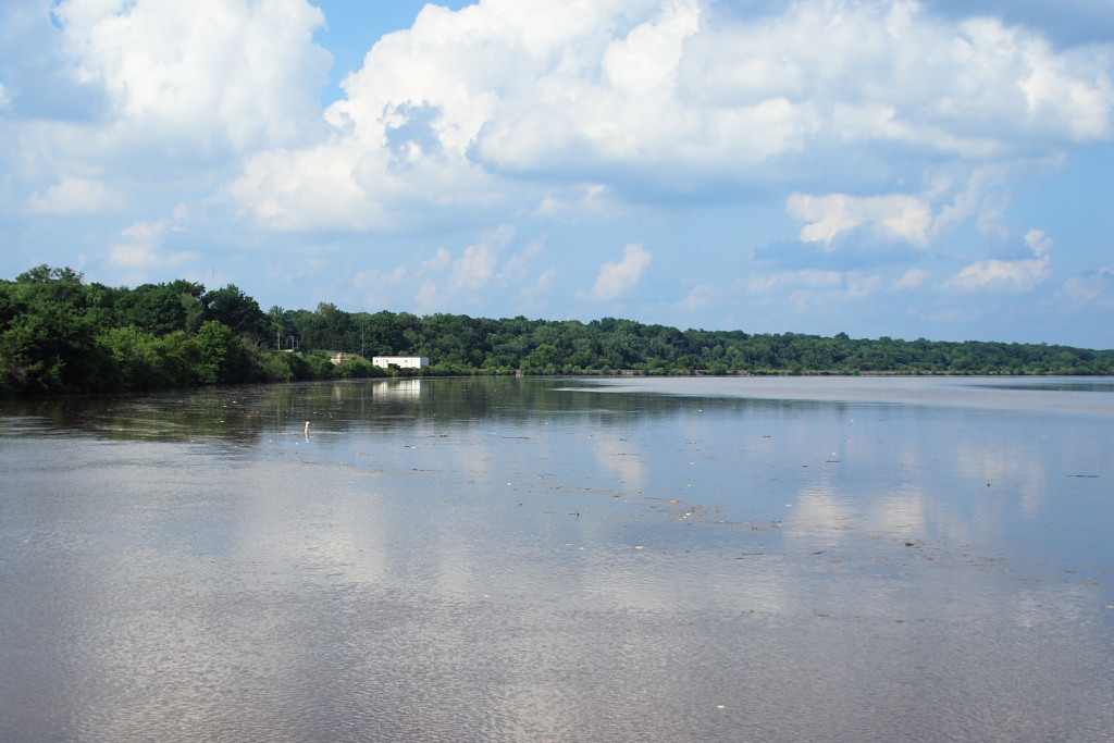
Rock Falls, Lower Dam
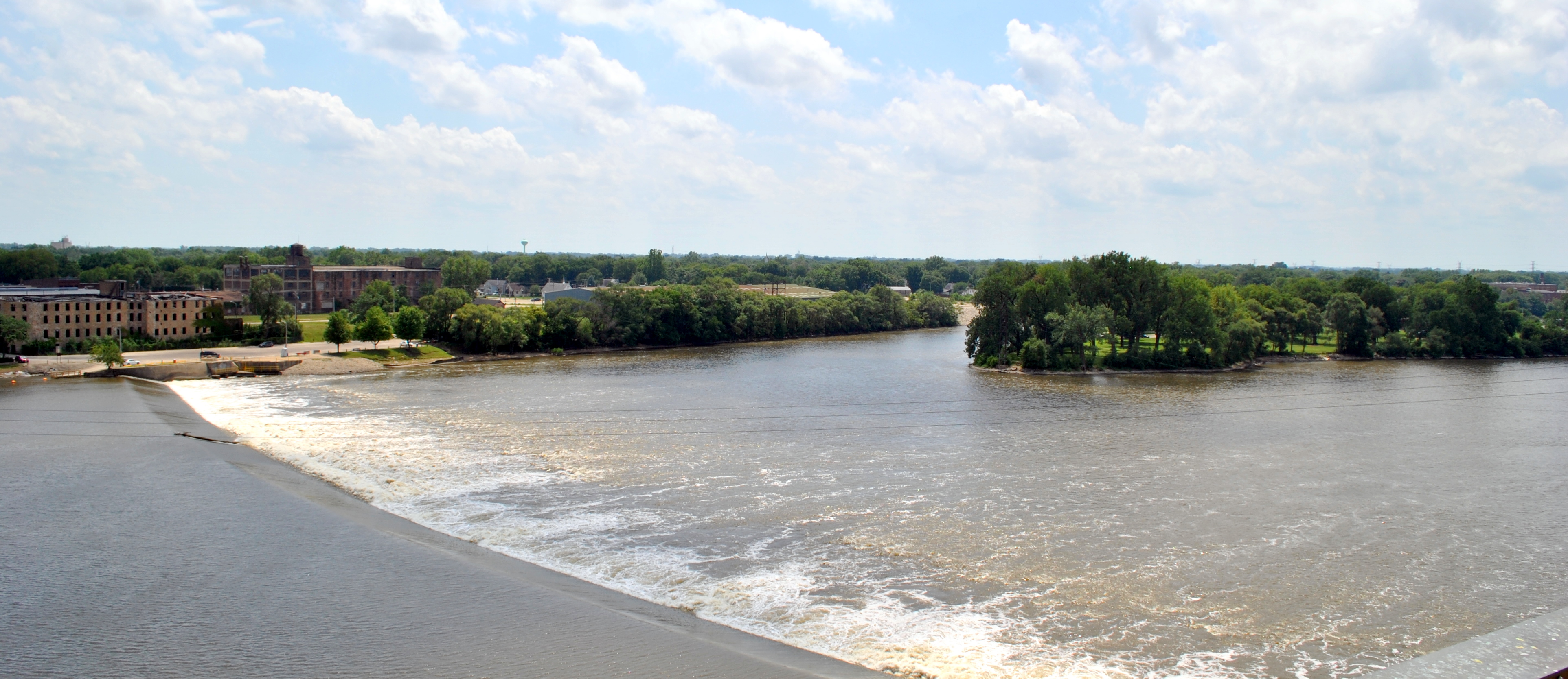
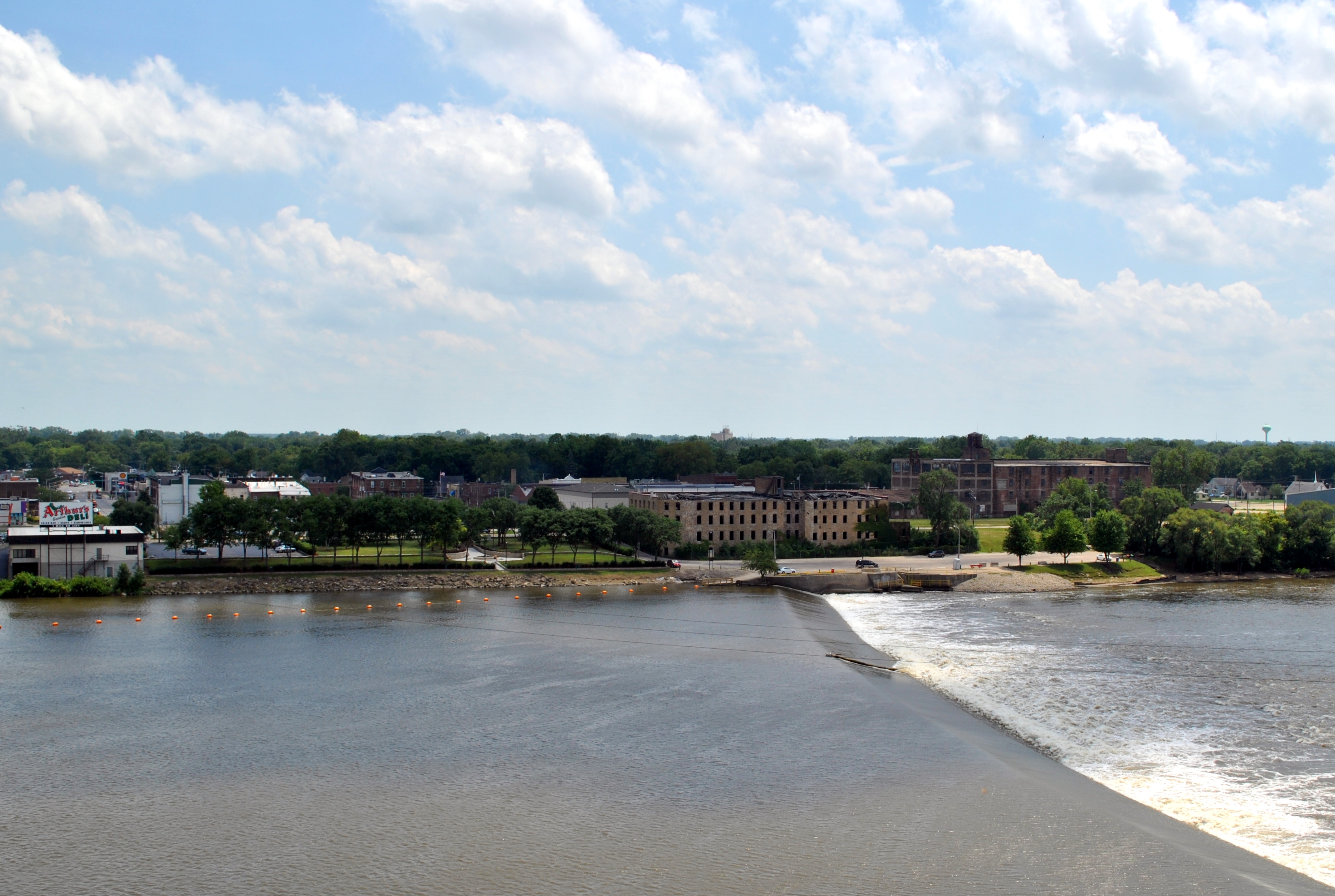
Rock Falls, Lower Dam

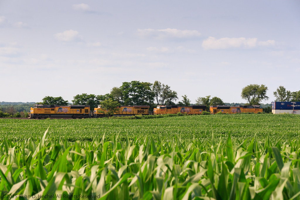
No. 3034 - Union Pacific - Nelson, Ill.

winter (full version)
_MG_7324 -2_5 -2_6 -2_tonemapped
#CloudFormations #skyview #skyline #Illinois
19740800 12 BN Sterling, IL

Lee County Storm

Lee County Storm
2009 Fishkill img 0002

Brett F. Weckesser Memorial Float ~ 2014

2014 09 01_2731
Flag Units on the Fourth
Topographic Map of Riverdale Rd, Rock Falls, IL, USA
Find elevation by address:

Places near Riverdale Rd, Rock Falls, IL, USA:
Fisher St, Sterling, IL, USA
612 W 12th St
612 B Ct
127 Wallace St
Sterling
Coloma Township
711 2nd Ave
Rock Falls
100 E Le Fevre Rd
102 5th Ave
25869 Science Ridge Rd
2900 Locust St
1314 E 15th St
1117 Hilltop Rd
1509 Dixon Ave
Sterling Township
22419 Moline Rd
Whiteside County
67 Yorktown Rd, Lyndon, IL, USA
Mount Pleasant Township
Recent Searches:
- Elevation of Corso Fratelli Cairoli, 35, Macerata MC, Italy
- Elevation of Tallevast Rd, Sarasota, FL, USA
- Elevation of 4th St E, Sonoma, CA, USA
- Elevation of Black Hollow Rd, Pennsdale, PA, USA
- Elevation of Oakland Ave, Williamsport, PA, USA
- Elevation of Pedrógão Grande, Portugal
- Elevation of Klee Dr, Martinsburg, WV, USA
- Elevation of Via Roma, Pieranica CR, Italy
- Elevation of Tavkvetili Mountain, Georgia
- Elevation of Hartfords Bluff Cir, Mt Pleasant, SC, USA