Elevation of State Road, State Rd, 4, Beech Glenn, NC, USA
Location: United States > North Carolina > Madison County > 3, Mars Hill > Mars Hill >
Longitude: -82.508427
Latitude: 35.8473904
Elevation: 687m / 2254feet
Barometric Pressure: 93KPa
Elevation Map:
Satellite Map:
Related Photos:
East of Dillingham

blue ridge valley

So. This isn't a bad view for my back yard. #notcomplaining #waittillwinter

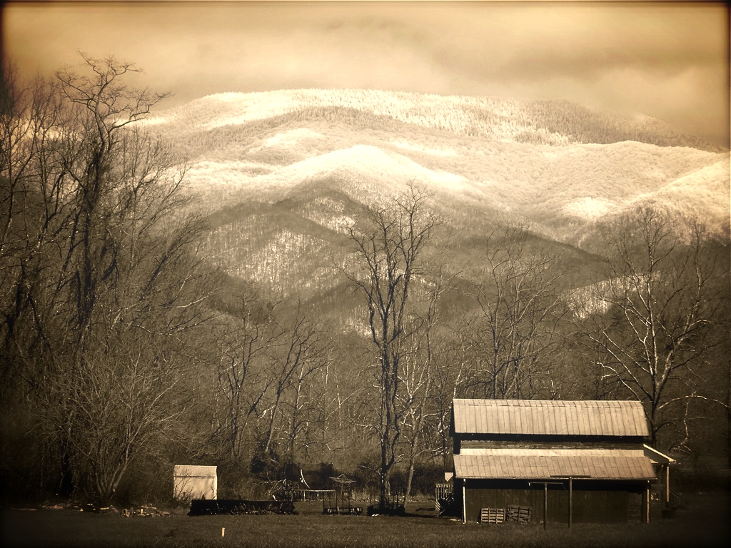
Nearly Engulfed

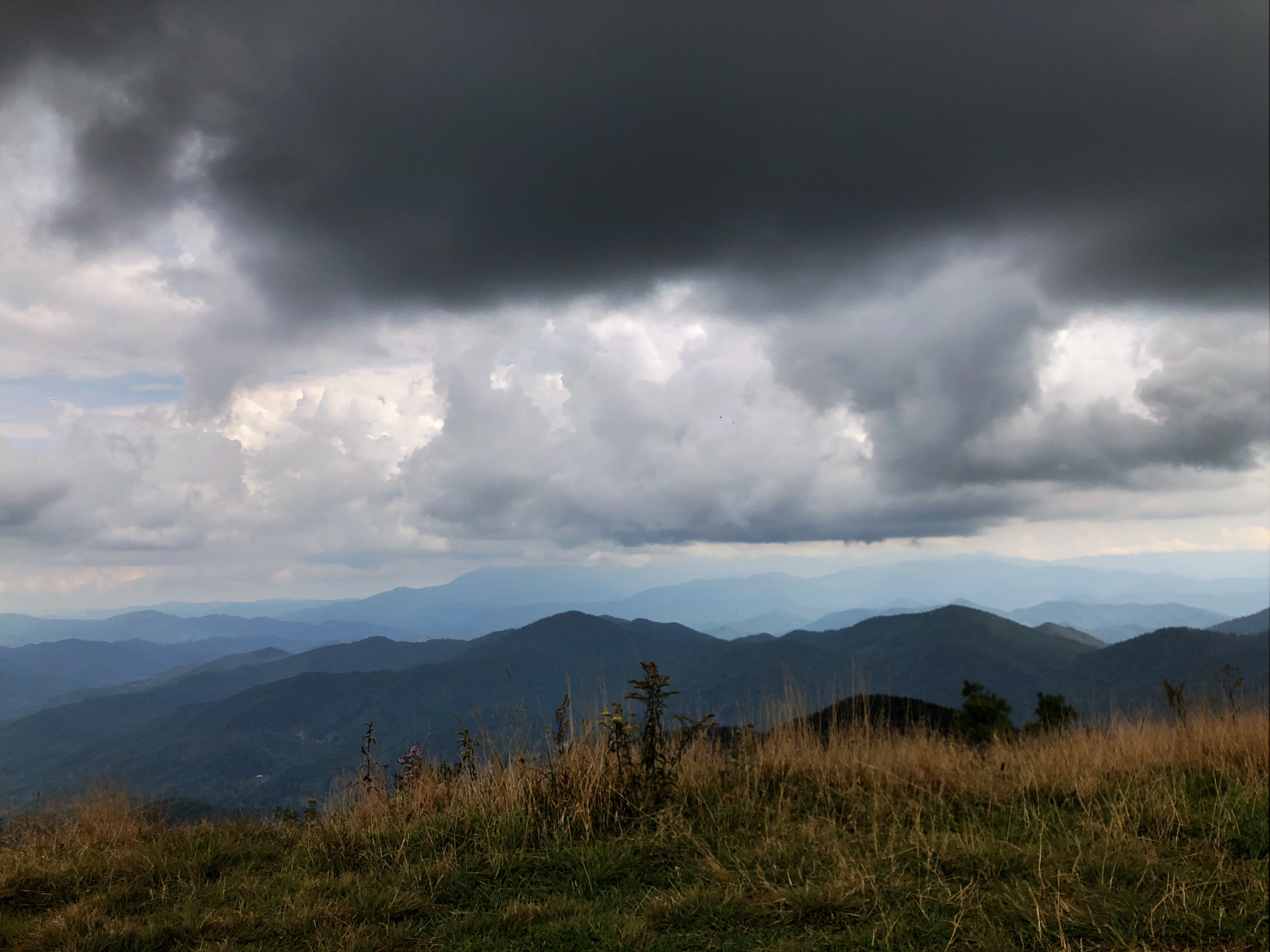
Dark and Misty
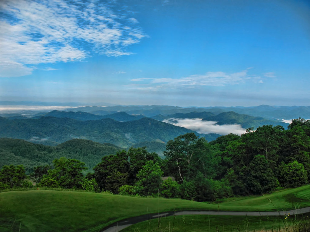
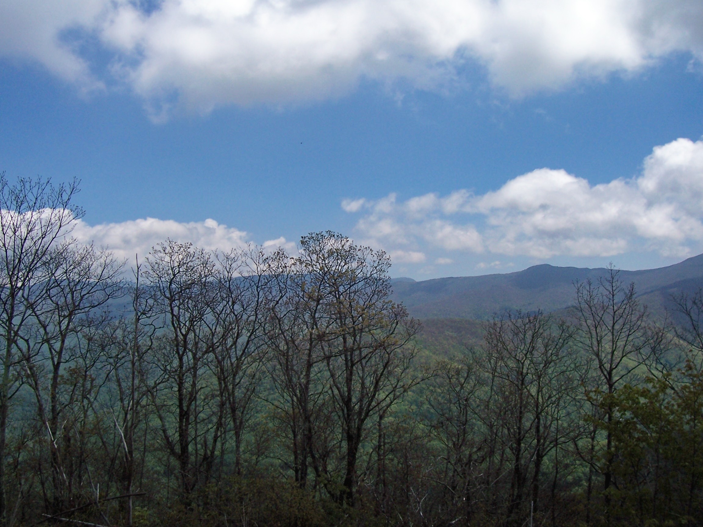
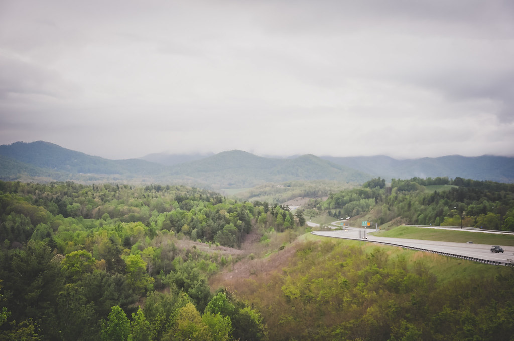
Western North Carolina Mountain View
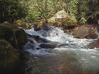
7-Second Video: Corner Rock Creek, Pisgah National Forest
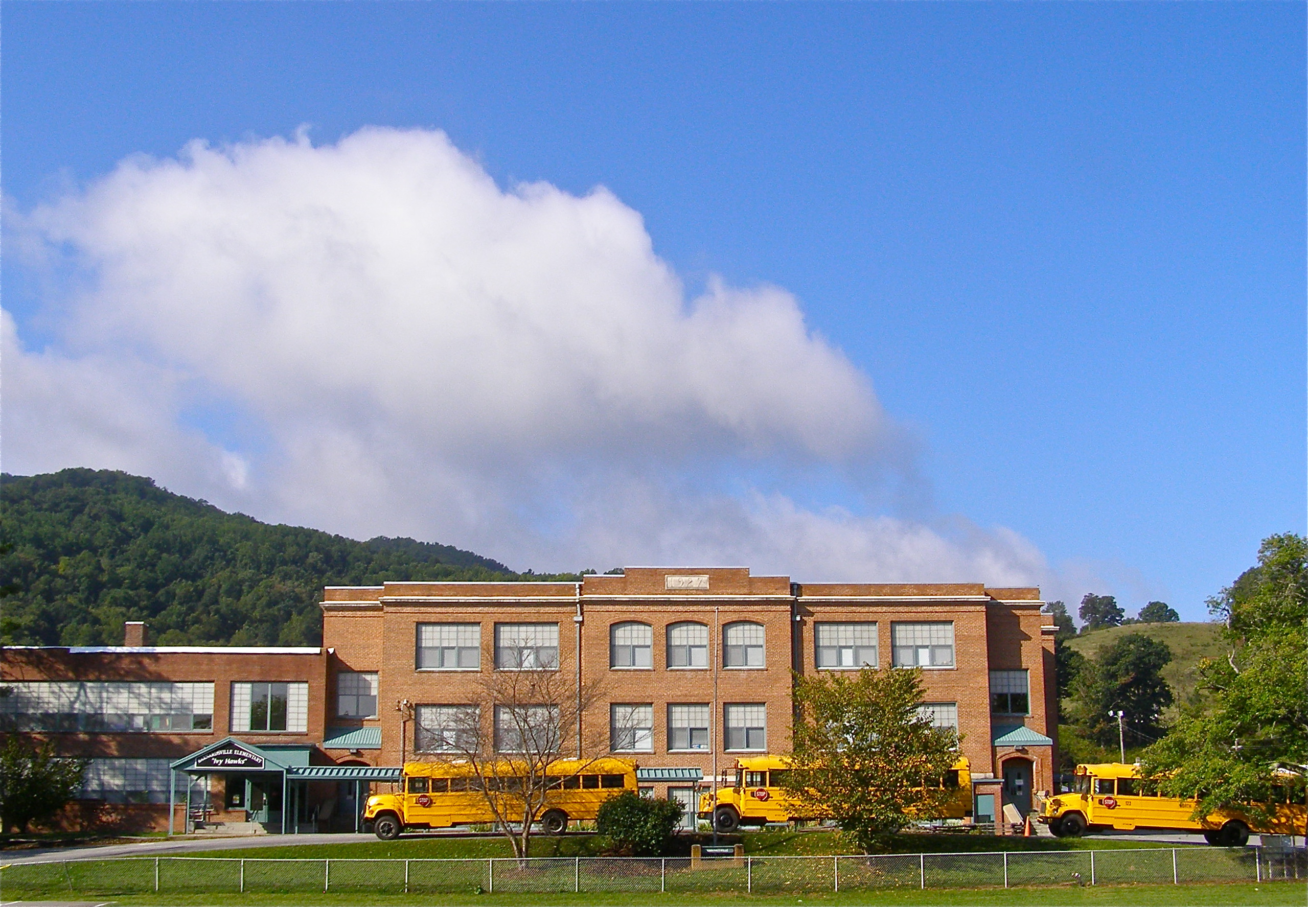
Mountain School
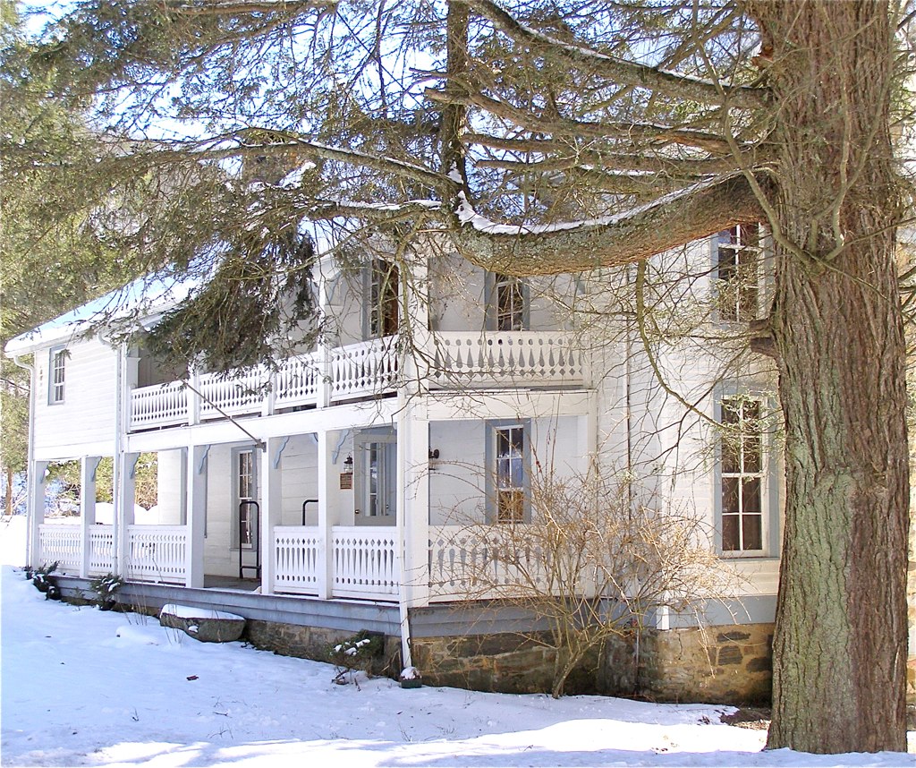
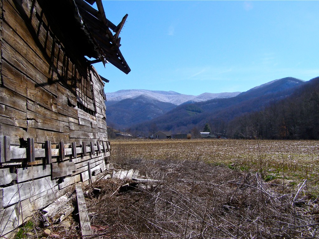
Carter-Swain House
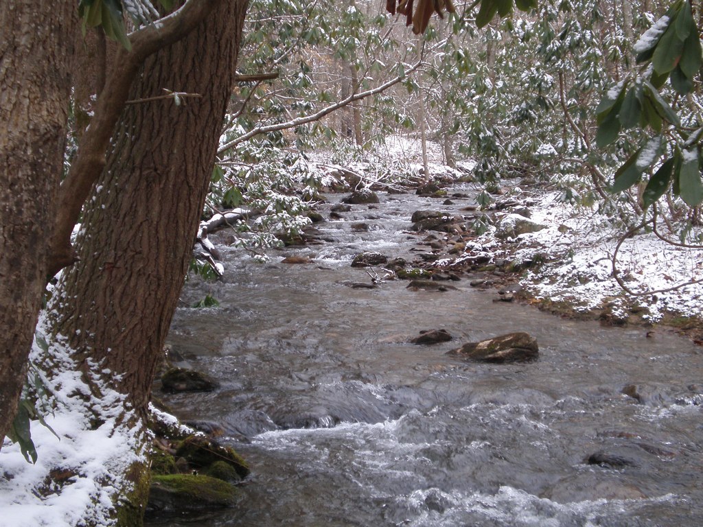
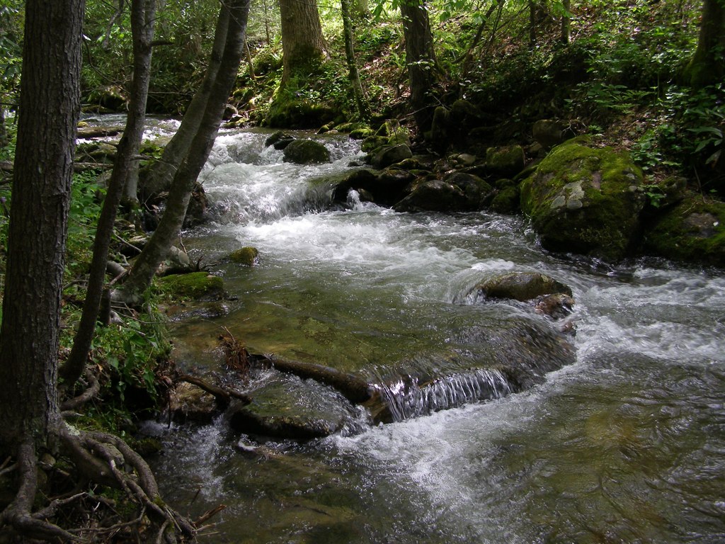
Solo Creek
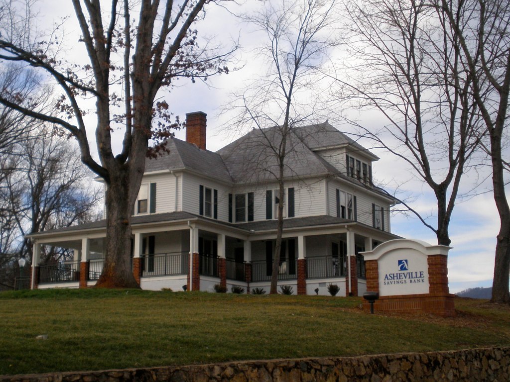
The Bank
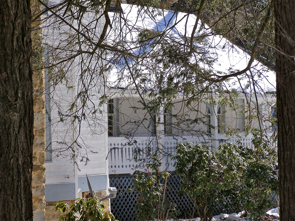
Carter-Swain House

NC 197 (Fall, 2010)
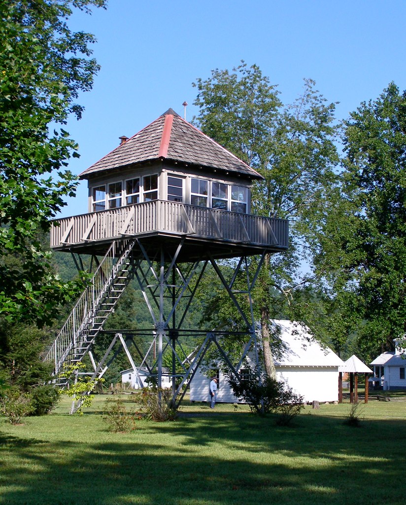
Little Snowball Fire Tower, 1934
Little Snowball Mountain
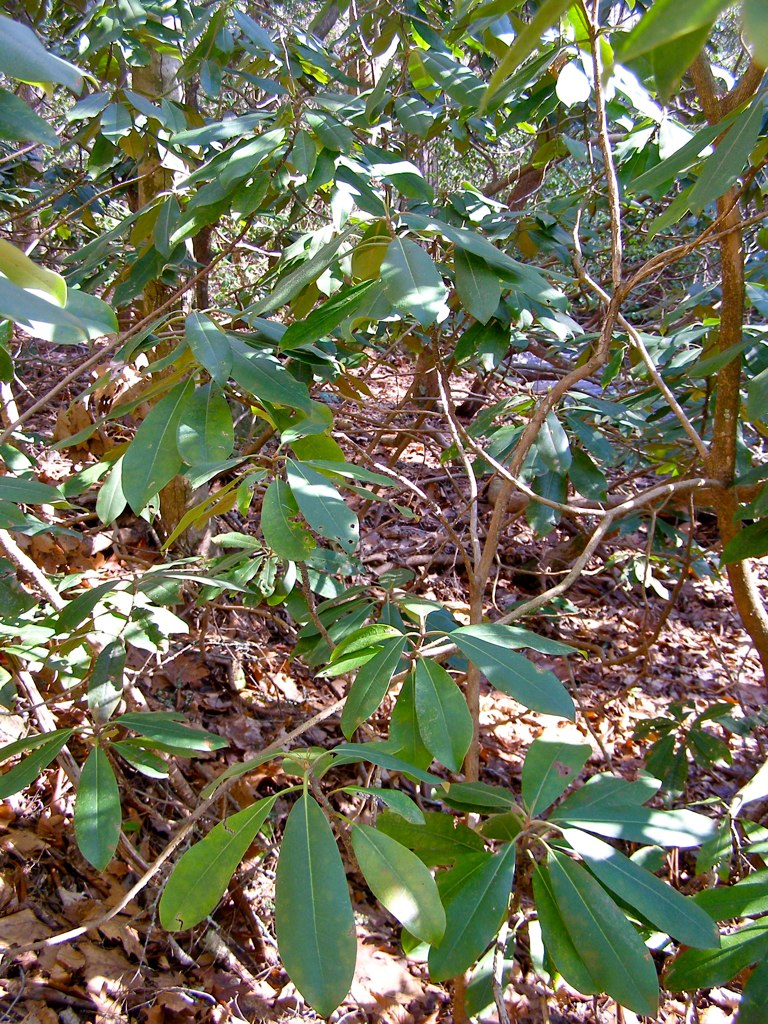
A "Laurel Hell" (Rhododendron maxima)

NC 197 Fall Trip [10/16/2011]
Bug's Eye View

NC 197 Fall Trip [10/16/2011]

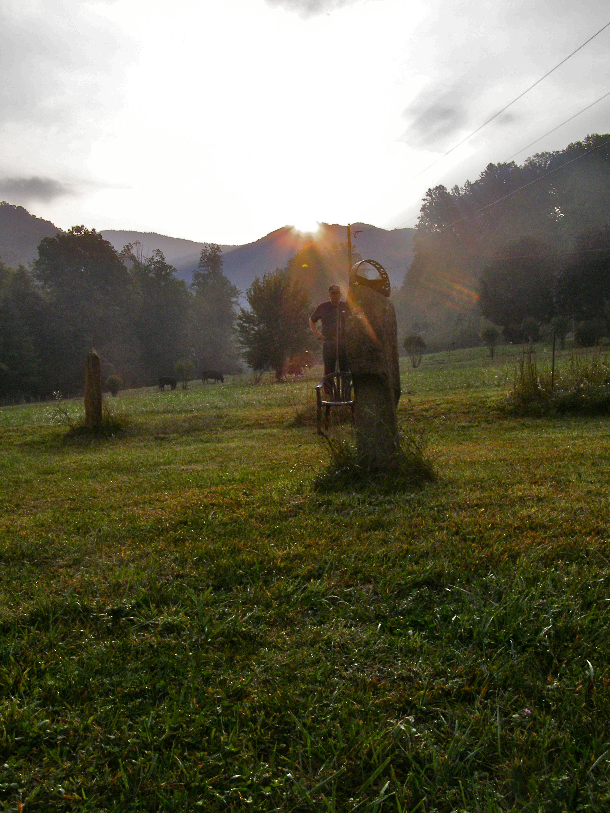
A mountain view
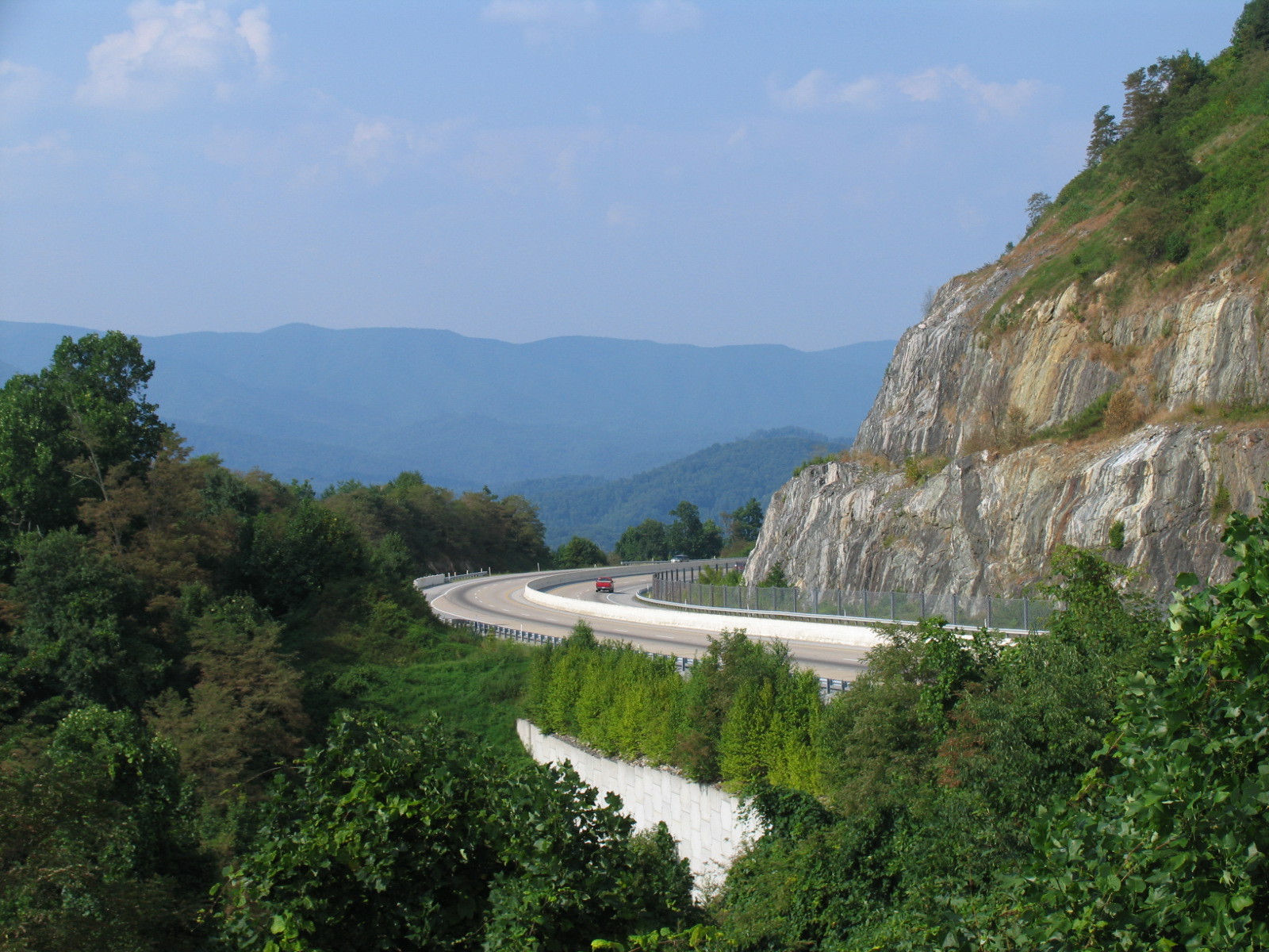
I-26 West view
All's Well
Jupiter Sunset
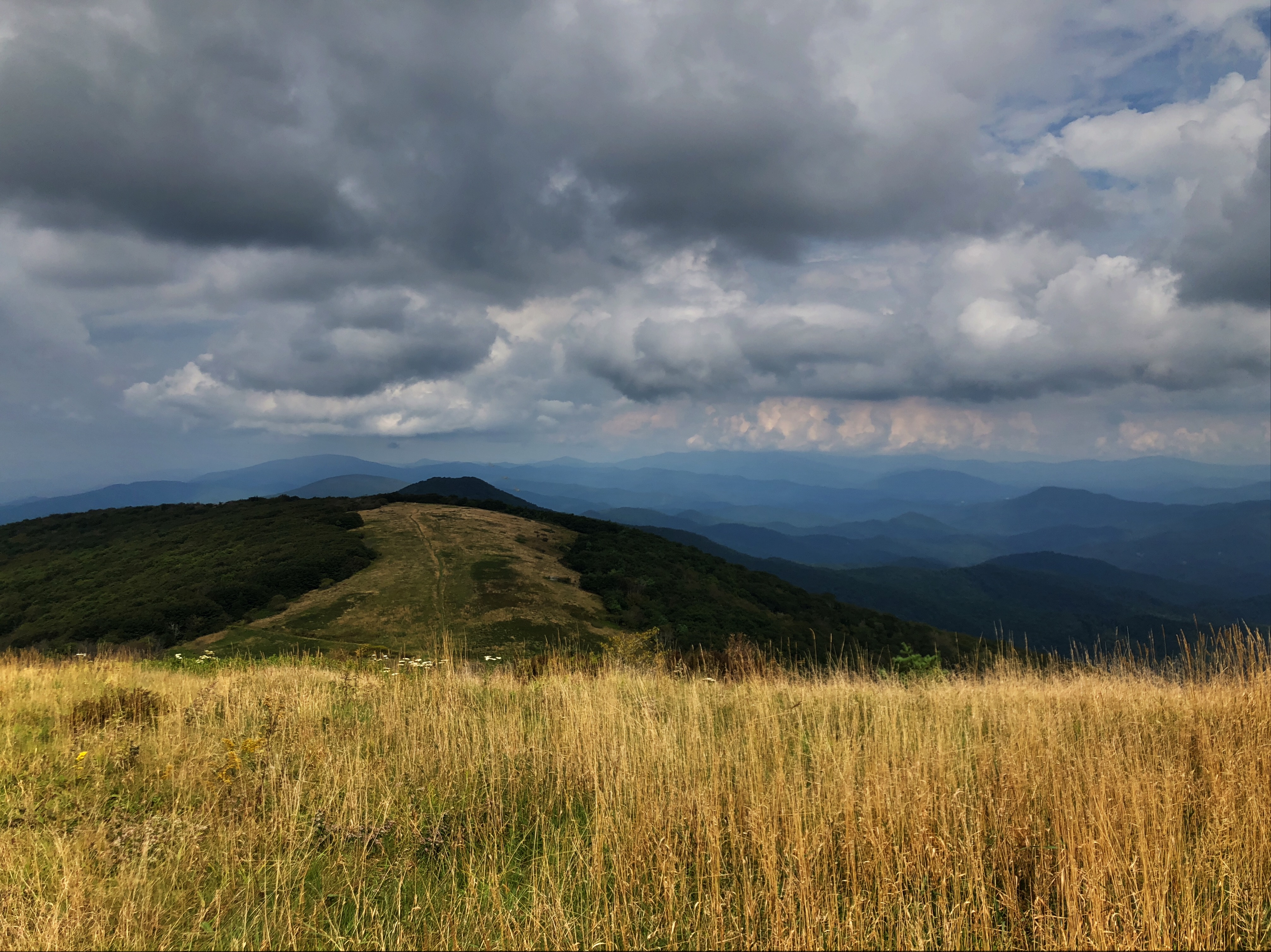
Big Bald

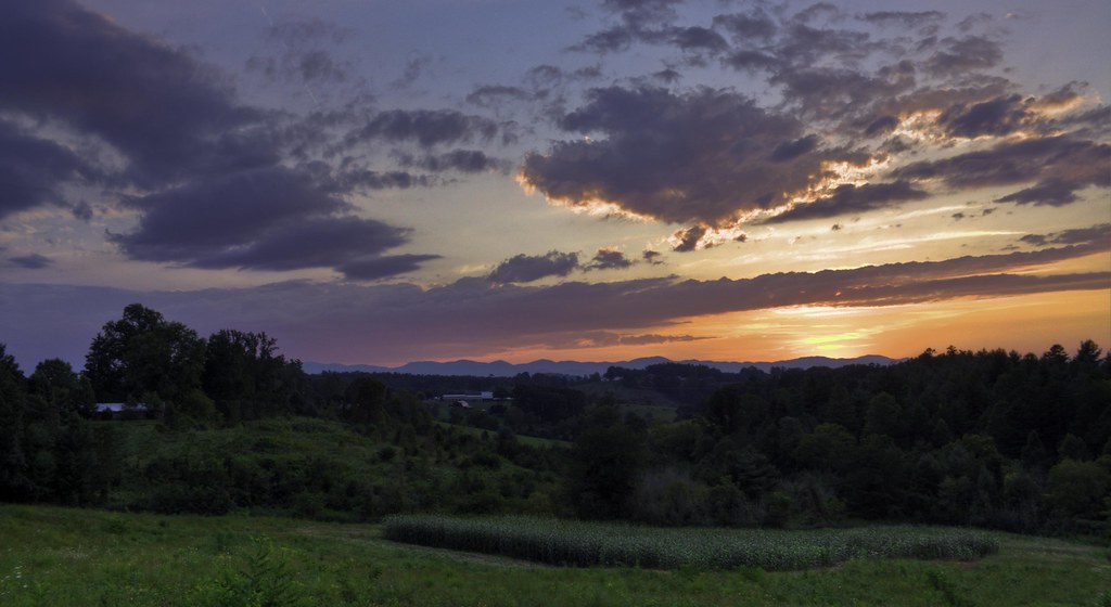
Blue Ridge Sunset (2014 07 03 -3796)
Mountains in North Carolina
Dawn, Autumn Equinox
The Cure

Fog, Grey, Mist--
Square Framed
Big Bald
Yesterday's Barn
Flush at Walker Creek, 2009
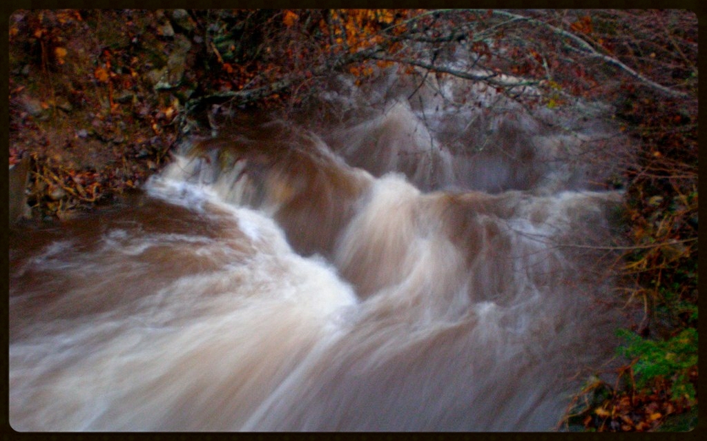
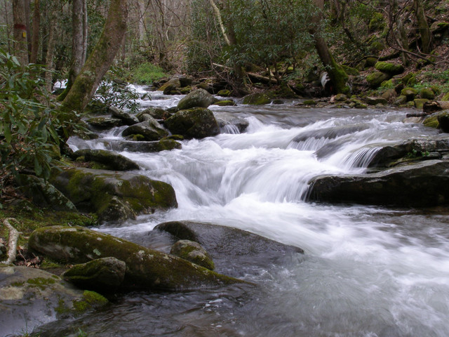
Cascade: Corner Rock Creek

Mosaic at Walker
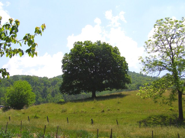
Flat Creek Oak

Cabin in the Woods - Selective Colorization
Topographic Map of State Road, State Rd, 4, Beech Glenn, NC, USA
Find elevation by address:

Places near State Road, State Rd, 4, Beech Glenn, NC, USA:
234 Sam Fox Road
1511 Old California Creek Rd
4, Beech Glenn
230 Fox Grape Hollow Rd
40 Briarwood Ln
148 Eagle Ridge Ln
Jarvis Branch Road
Madison County Housing Auth
200 Mountain Home Estates Dr
Jarvis Bridge Road
Beech Glen Rd, Mars Hill, NC, USA
909 Jarvis Bridge Rd
Valley Drive
Pine Ridge Road
102 Valley Dr
Beech Glen Road
1053 Holcombe Branch Rd
603 Mountain Haven Dr
720 Traditions Way
831 N Main St
Recent Searches:
- Elevation of Elwyn Dr, Roanoke Rapids, NC, USA
- Elevation of Congressional Dr, Stevensville, MD, USA
- Elevation of Bellview Rd, McLean, VA, USA
- Elevation of Stage Island Rd, Chatham, MA, USA
- Elevation of Shibuya Scramble Crossing, 21 Udagawacho, Shibuya City, Tokyo -, Japan
- Elevation of Jadagoniai, Kaunas District Municipality, Lithuania
- Elevation of Pagonija rock, Kranto 7-oji g. 8"N, Kaunas, Lithuania
- Elevation of Co Rd 87, Jamestown, CO, USA
- Elevation of Tenjo, Cundinamarca, Colombia
- Elevation of Côte-des-Neiges, Montreal, QC H4A 3J6, Canada