Elevation of Holcombe Branch Rd, Mars Hill, NC, USA

Location: United States > North Carolina > Madison County > 3, Mars Hill > Mars Hill >

Longitude: -82.509916

Latitude: 35.8138131

Elevation: 635m / 2083feet

Barometric Pressure: 94KPa

Elevation Map:

elevation map of Holcombe Branch Rd, Mars Hill, NC, USA

Satellite Map:

Satellite map of Holcombe Branch Rd, Mars Hill, NC, USA

Related Photos:

Madison County Courthouse, Marshall, NC
lighting nc fixtures artdeco lamps pendant weaverville publiclibrary libslibs
In the Library at Weaverville, NC
mountains tree barn fence nc ramp madison cedar notrespassing marshill 128 2011 bankbarn melystu
Red Barn with Tree
snow creek usfs 2013 bigivy mystuart cornerrock
Solo Creek
sota bigbutt summitsontheair elecraftkx3 ki4svm wh6le 88doublet hardrock50 w4ccm009
View from Little Butt
opportunity mars mountains brick history film skyline architecture buildings marquee nc closed theater historic madison commercial movies screening madisoncounty marshill defunct melystu
Mars Theatre
park museum geotagged nc historic ccc 1934 firetower 2010 newdeal barnardsville heritageday bigivy littlesnowball melystu
Little Snowball Fire Tower, 1934
park reflection window public nc historic logcabin restored althea preservation nonprofit dillingham 2x2 historichouse barnardsville bigivy carsoncabin
Window View
geotagged nc fdsflickrtoys nps mosaic wildflowers blueridgeparkway 2011 melystu
Blue Ridge Parkway
park mountains tree history public carson cabin logcabin historical dillingham barnardsville 2011 bigivy melystu
Carson Cabin, Big Ivy Historical Park
mountains snow barn country sepia effects mystuart winter spring 2013 barnardsville dillingham olympus aviary manipulated tinroof geotagged telephoto
East of Dillingham
mountains flower macro yellow bokeh northcarolina bee sunflower explored
You Are the Sunflower of My Life - Apologies to Stevie Wonder! View large. Explore November 3, 2012.
snow bigivy nc mountains wnc blueridgeparkway valley dillingham light cumulus
Over the Blacks Range
storm colors canon nc high rainbow dynamic mark vivid double ii 5d after range hdr weaverville
HDR Rainbow
summer sky mountains architecture buildings corn south august 2006 maize bungalow melystu
Nearly Engulfed
travel sunset summer art nature beautiful gardens clouds daylight artist day photographer cloudy asheville sweet northcarolina craggy views postcards destination through blueridgemountains mountmitchell pisgahnationalforest bluebleu thegreatsmokymountains 2011 lookingthruwindow digidreamgrafixcomphotographydigitalphotoncnorthcarolina agphotos agpostcardscom parkblackmountain viewthrualens
blue ridge valley
winter mountain forest nc woods rhododendron laurel 2012 lore dialect horacekephart mystuart laurelhell
A "Laurel Hell" (Rhododendron maxima)
winter mountains green wet misty clouds barn dark geotagged nc rainy pasture chilly hay shrouded dillingham 2011 pokeweed mystuart
Dark and Misty
sota bigbutt summitsontheair elecraftkx3 ki4svm wh6le 88doublet hardrock50 w4ccm009
Summit View from W4C/CM-009 - Big Butt
mountains water creek geotagged nc stream barnardsville usfs 2011 bigivy melystu
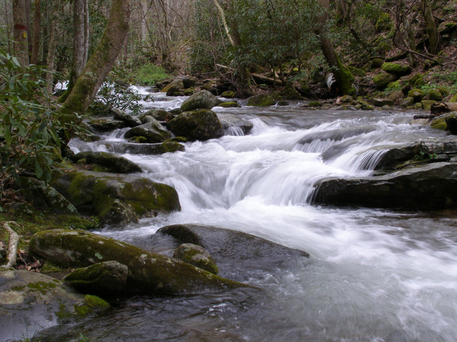
Nature's Cascade Pool
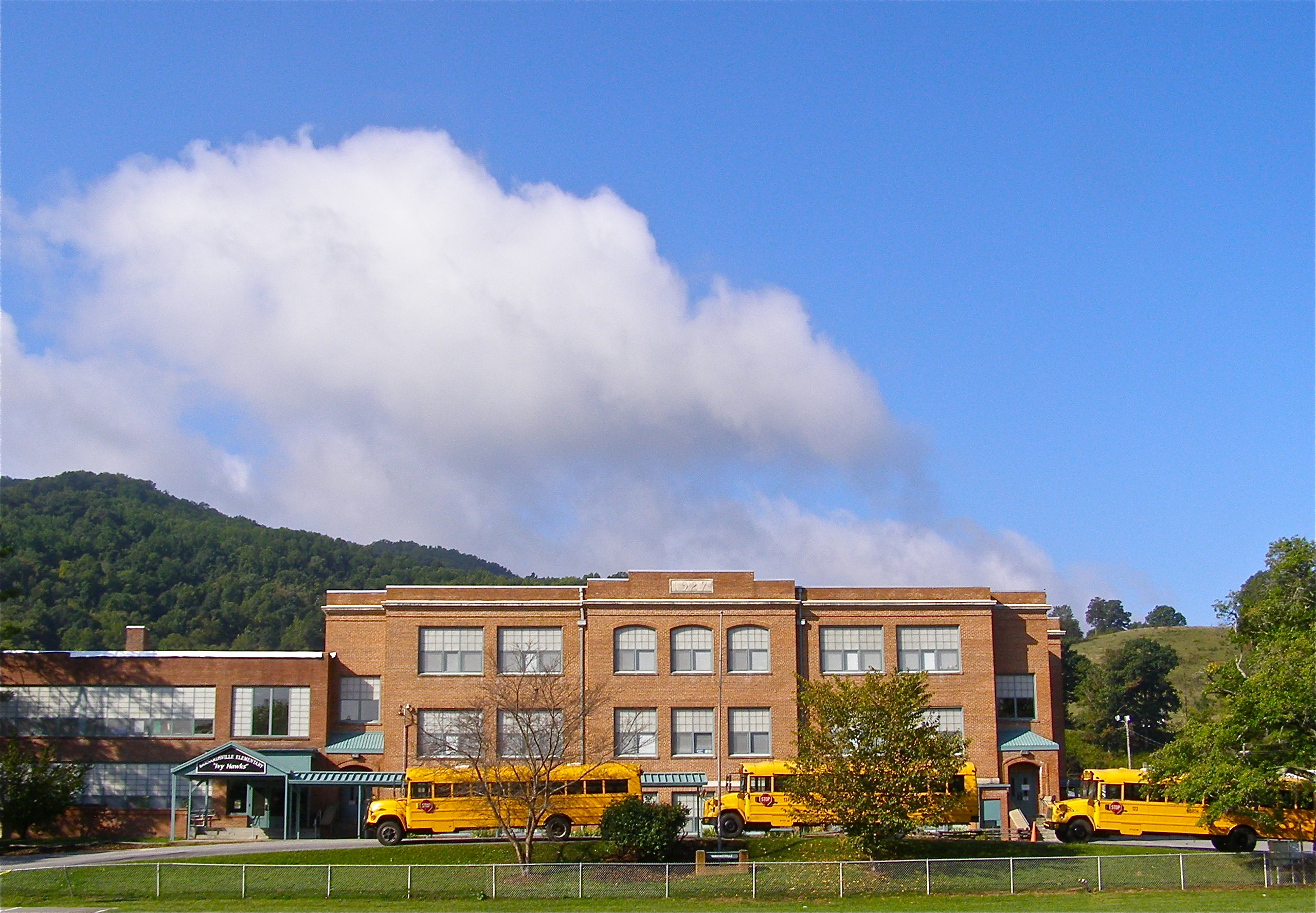
school sky mountains brick history clouds geotagged nc highschool learning teaching schoolbus elementary yellowschoolbus barnardsville buncombecounty melystu ncpedia
Mountain School
bridge winter mountains creek geotagged nc barns stark bigcreek wnc barnardsville bigivy
Grey Winter Creek
usa lake nature water landscape waterfall nc asheville outdoor dam northcarolina waterfalls serene lakelouise waterwheel weaverville wnc 840 westernnorthcarolina waterdam weavervillenc weavervillenorthcarolina lakelouisefalls geo:lat=3568811385 geo:lon=8257064715 waterfallatlakelouiseweavervillenorthcarolina
Waterfall at Lake Louise (Weaverville, North Carolina)
winter snow mountains barn rural landscape geotagged nc historic dillingham buncombecounty 2013 bigivy mystuart
Yesterday's Barn
douglasfalls aerialphoto dronephoto northcarolina waterfall barnardsville hike pisgahnationalforest landscape
Douglas Falls
autumn storm fall water rain weather creek river geotagged nc stream rainfall precipitation dillingham movingwater 2013 bigivy
All's Well
water rain creek geotagged nc spring stream explore watershed pisgah buncombecounty explored 2013 bigivy mystuart cornerrockcreek ivytownship
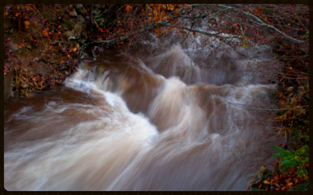
Cascade: Corner Rock Creek
creek forest flow moss woods rocks rhododendron watershed environment lichen mountainside 2008 watercourse walkercreek pisgahnationalforest nf colemanboundary usfs bigivy mystuart
Flush at Walker Creek, 2009
trees usa mountains colors unitedstates asheville northcarolina aerial linville aerialphoto blueridgemountains aerialphotography appalachianmountains mountmitchell wnc yanceycounty mountmitchellstatepark 12144959662
Mount Mitchell State Park
rock stone creek waterfall nc iron masonry lakelouise waterwheel weaverville gristmill 2011 reemscreek melystu
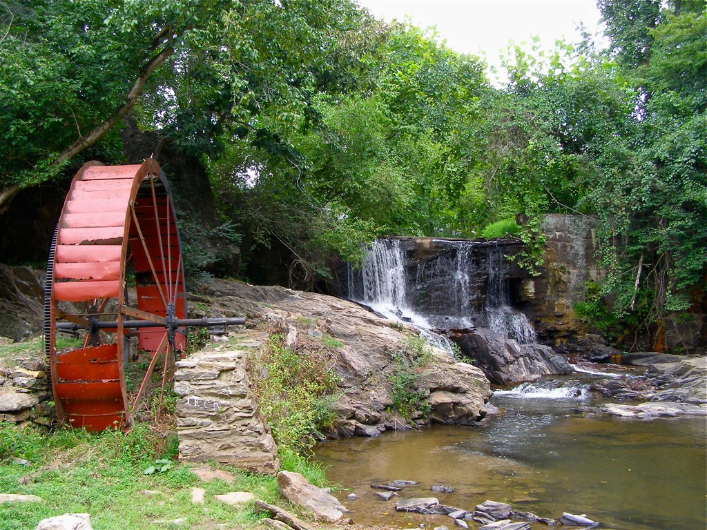
Reems Creek Old Mill Site
outdoors barn red sky blue canon dslr landscape land sunny portrait trees fall clouds art awesome azul country exploring houses house vivid scenes scenics landscapes traveling travel white wnc usa watching seasons season pretty nature neat luminosity light hills greenery green daytime day colorphotoaward colour colors colorful color cloudy buildings building barns asheville architectural architecture america agriculture astoundingimage outdoor foliage plant
Red Barn
mountains tree landscape geotagged nc oak jupiter specimen buncombe whiteoak i26 buncombecounty exit15 quercusalba flatcreek blackstock specimentree oldground treasuredtree
Flat Creek Oak
park building tree museum garden landscape effects nc log historic logcabin vernacular apples aviary avenue chimneys 2013 mystuart carsoncabin
Morning at the Cabin
trees winter white snow cold green weather canon outside outdoors eos rebel landscapes nc cool snowing neat scenics xsi
Light Snow
water vegetables creek geotagged nc fdsflickrtoys natural gardening farm mosaic farming pipe pump health hoe agriculture interns irrigation nutrition barnardsville littman 2011 ivycreek bigivy ivyriver melystu ivycreekfarm ivycreekfamilyfarm
Water, Soil, Seed, Work = Vegetables!
marshall rollins french broad river norfolk southern 8100 nickel plate
784 crosses the French Broad