Elevation of State Rd S-41-, Saluda, SC, USA
Location: United States > South Carolina > Saluda County > Saluda >
Longitude: -81.751962
Latitude: 33.9803152
Elevation: 138m / 453feet
Barometric Pressure: 100KPa
Elevation Map:
Satellite Map:
Related Photos:

Spann Methodist Cemetery

Spann Methodist

Clinton Ward
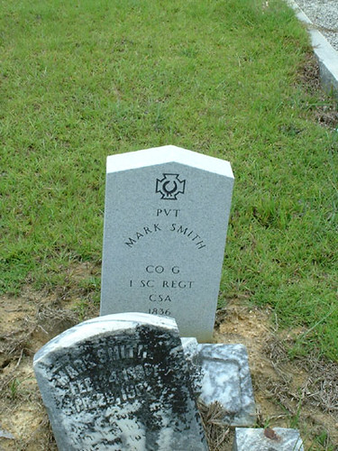
Mark Smith Grave
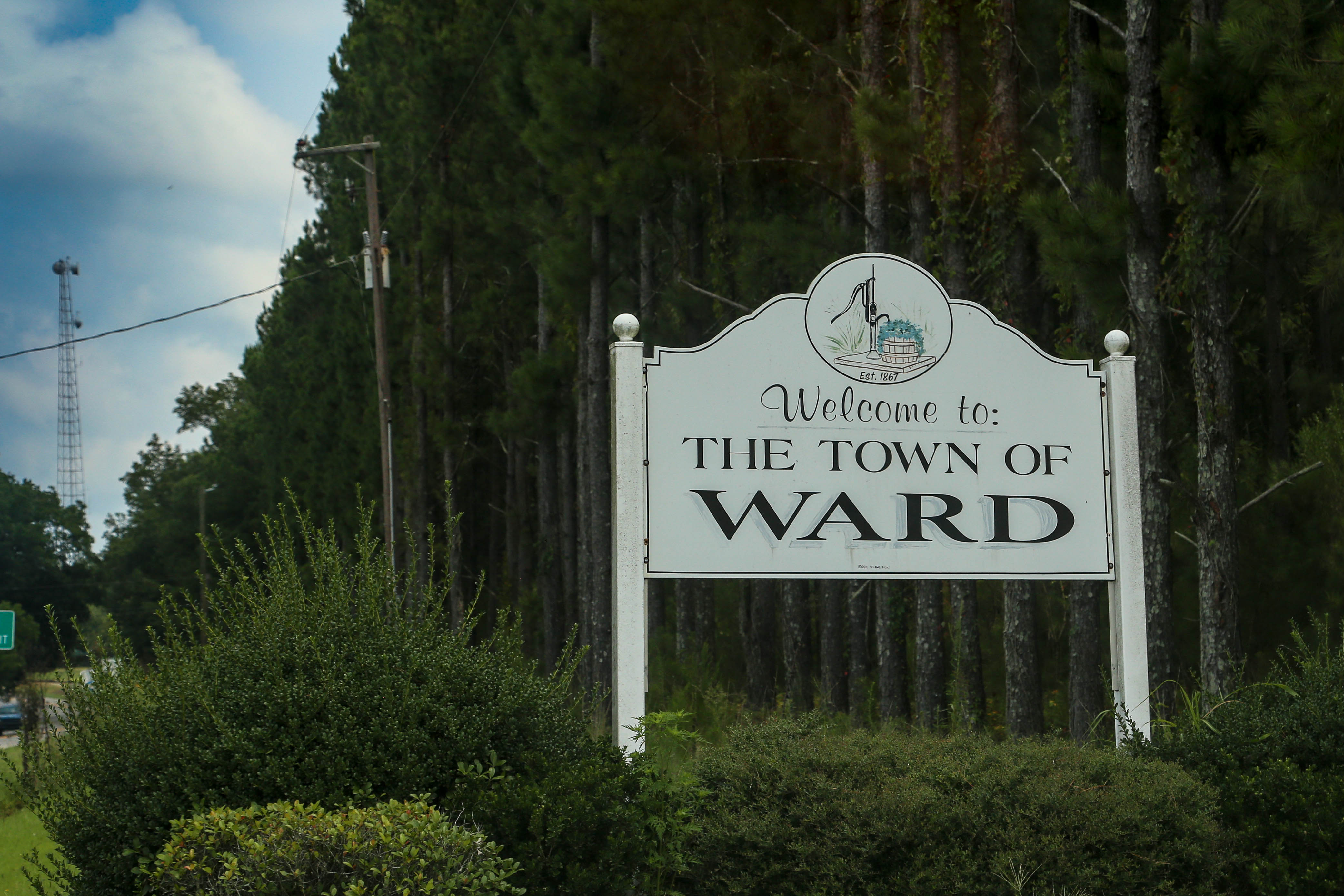
Welcome to Ward, S.C.
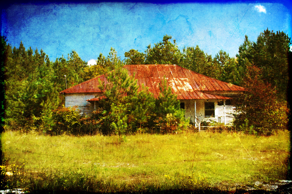
Fruit Hill School HDR Texture

Made it just in time. #sunset #lakemurray

Clinging to Life

09FEB13: Scott's field
Willow Springs School
Mount Willing-001

Bubba Statue-008
Topographic Map of State Rd S-41-, Saluda, SC, USA
Find elevation by address:

Places near State Rd S-41-, Saluda, SC, USA:
202 S Main St
Saluda
Saluda County
296 State Rd S-41-340
1173 Spann Rd
1246 Daniel Ave
State Rd S-41-, Saluda, SC, USA
Ward
State Road S-41-235
SC-23, Johnston, SC, USA
Johnston
13 Veredelle Dr
38 Henry Ln
93 Bouknight Rd, Johnston, SC, USA
239 Hipp Island Rd
US-, Saluda, SC, USA
221 Center Spring Rd
Chappells
1814 Warner Rd
Youngblood Rd, Edgefield, SC, USA
Recent Searches:
- Elevation of Elwyn Dr, Roanoke Rapids, NC, USA
- Elevation of Congressional Dr, Stevensville, MD, USA
- Elevation of Bellview Rd, McLean, VA, USA
- Elevation of Stage Island Rd, Chatham, MA, USA
- Elevation of Shibuya Scramble Crossing, 21 Udagawacho, Shibuya City, Tokyo -, Japan
- Elevation of Jadagoniai, Kaunas District Municipality, Lithuania
- Elevation of Pagonija rock, Kranto 7-oji g. 8"N, Kaunas, Lithuania
- Elevation of Co Rd 87, Jamestown, CO, USA
- Elevation of Tenjo, Cundinamarca, Colombia
- Elevation of Côte-des-Neiges, Montreal, QC H4A 3J6, Canada