Elevation of State Rd S-41-, Saluda, SC, USA
Location: United States > South Carolina > Saluda County > Saluda >
Longitude: -81.642266
Latitude: 34.013705
Elevation: 152m / 499feet
Barometric Pressure: 100KPa
Elevation Map:
Satellite Map:
Related Photos:

01JAN12: hospitality
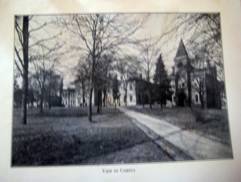
View of Campus
A Camelia remains

EAT THIS CAKE!
Batesburg 2
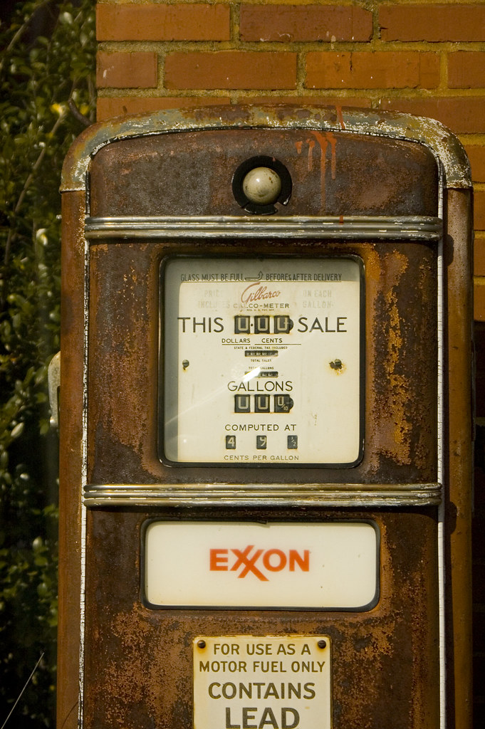
Old Gas Pump 2
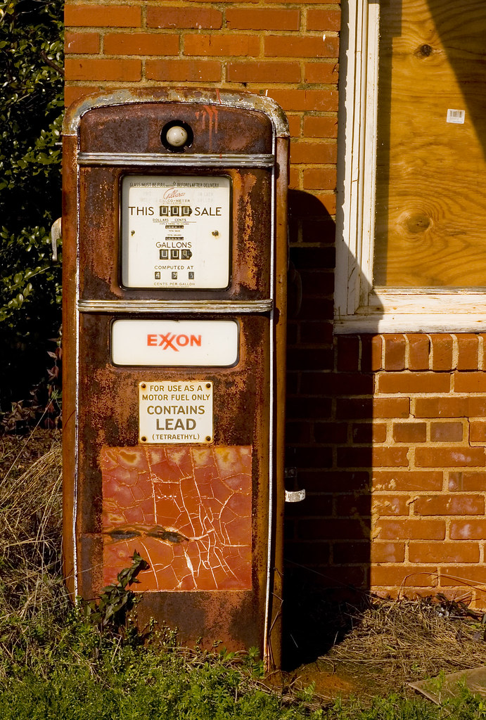
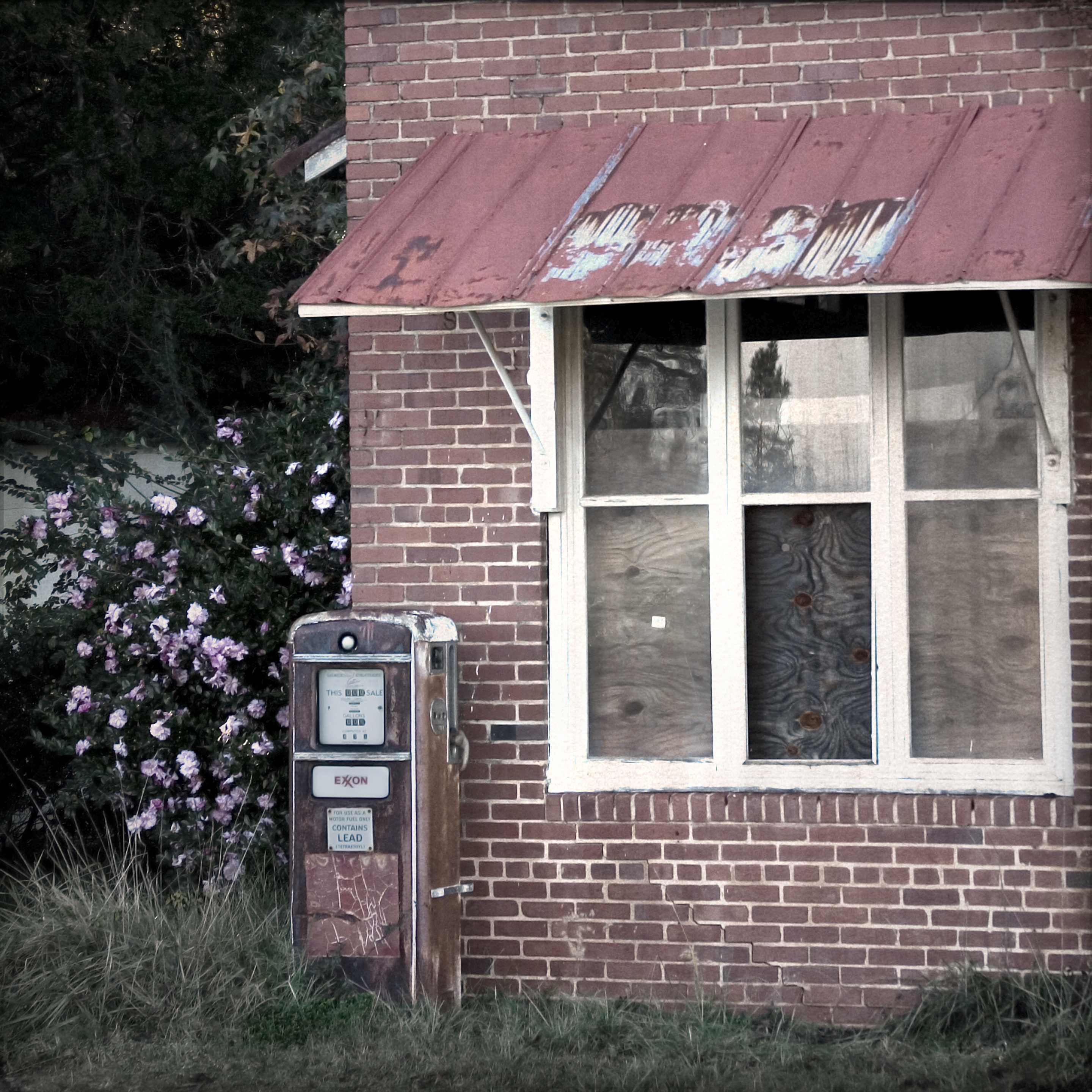
Old Gas Pump
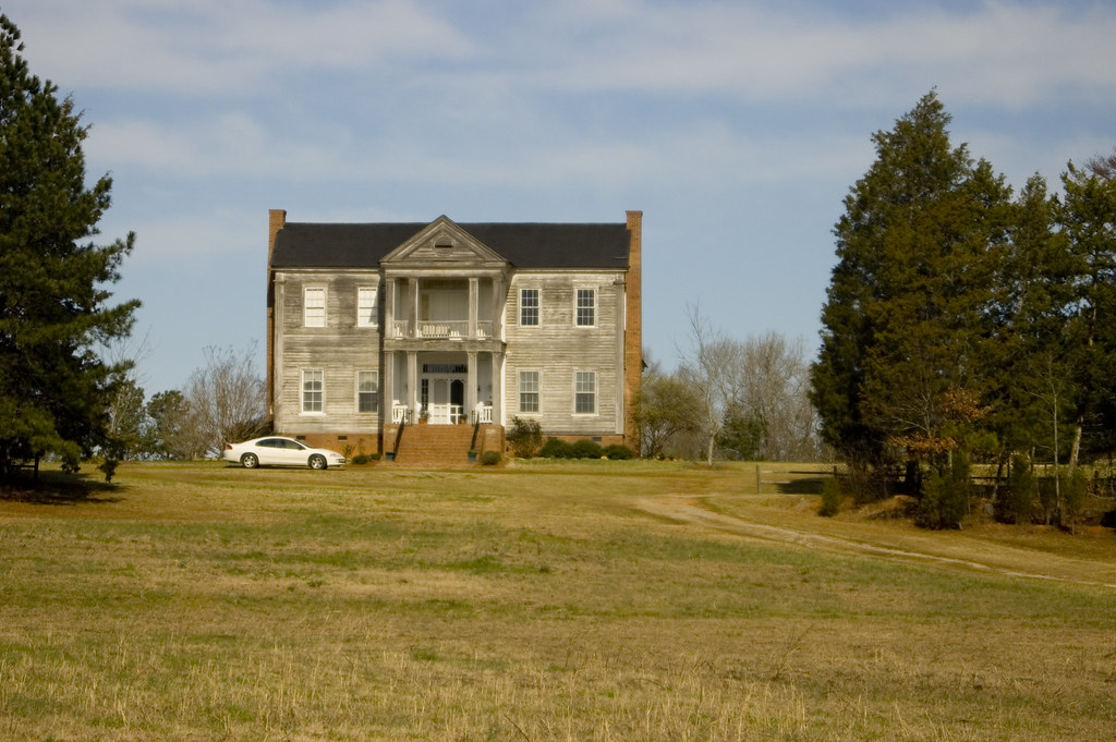
Old House

old farm house infrared
Batesburg 1
Made it just in time. #sunset #lakemurray

Roadside Hayfield

X-700Roll5-026
Mount Willing-001
Topographic Map of State Rd S-41-, Saluda, SC, USA
Find elevation by address:

Places near State Rd S-41-, Saluda, SC, USA:
Saluda County
1173 Spann Rd
239 Hipp Island Rd
296 State Rd S-41-340
136 State Rd S-41-118
Saluda
202 S Main St
1246 Daniel Ave
Ward
5443 St Lukes Church Rd
State Road S-41-235
SC-23, Johnston, SC, USA
Johnston
13 Veredelle Dr
Newberry
Newberry College
2418 Henry Ave
Chappells
38 Henry Ln
93 Bouknight Rd, Johnston, SC, USA
Recent Searches:
- Elevation of Corso Fratelli Cairoli, 35, Macerata MC, Italy
- Elevation of Tallevast Rd, Sarasota, FL, USA
- Elevation of 4th St E, Sonoma, CA, USA
- Elevation of Black Hollow Rd, Pennsdale, PA, USA
- Elevation of Oakland Ave, Williamsport, PA, USA
- Elevation of Pedrógão Grande, Portugal
- Elevation of Klee Dr, Martinsburg, WV, USA
- Elevation of Via Roma, Pieranica CR, Italy
- Elevation of Tavkvetili Mountain, Georgia
- Elevation of Hartfords Bluff Cir, Mt Pleasant, SC, USA