Elevation of State Rd S-26-, Loris, SC, USA
Location: United States > South Carolina > Horry County > Loris >
Longitude: -78.861410
Latitude: 34.0554214
Elevation: 33m / 108feet
Barometric Pressure: 101KPa
Elevation Map:
Satellite Map:
Related Photos:

Nose Knows

Shattered View

It Lies Beneath

The official SC Welcome Sign

Moss Abstract

We have arrived

Such a reception--just for us
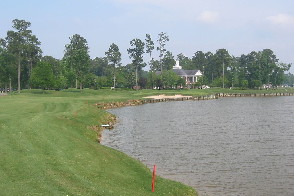
Long Bay Club #18

Twin City Airport-Runway 8

Sunset over Tabor City Sports Complex

20160731_162317(0)
Topographic Map of State Rd S-26-, Loris, SC, USA
Find elevation by address:

Places near State Rd S-26-, Loris, SC, USA:
1070 State Rd S-26-570
556 Longleaf Dr
5520 Main St
Russ Road
120 Fox Dale Dr
5329 Gaylan St
190 State Rd S-26-570
3576 Rogers Rd
Trooper Lane
359 Long Meadow Dr
Willow Street
Long Meadow Drive
553 Timber Creek Dr
Stags Leap Court
321 Bright Leaf Rd
321 Long Meadow Dr
4809 Circle Dr
Loris, SC, USA
4802 Forest Dr
4629 Circle Dr
Recent Searches:
- Elevation of Bella Terra Blvd, Estero, FL, USA
- Elevation of Estates Loop, Priest River, ID, USA
- Elevation of Woodland Oak Pl, Thousand Oaks, CA, USA
- Elevation of Brownsdale Rd, Renfrew, PA, USA
- Elevation of Corcoran Ln, Suffolk, VA, USA
- Elevation of Mamala II, Sariaya, Quezon, Philippines
- Elevation of Sarangdanda, Nepal
- Elevation of 7 Waterfall Way, Tomball, TX, USA
- Elevation of SW 57th Ave, Portland, OR, USA
- Elevation of Crocker Dr, Vacaville, CA, USA