Elevation of State Rd, Marshville, NC, USA
Location: United States > North Carolina > Union County > Marshville > Marshville >
Longitude: -80.291285
Latitude: 35.0725998
Elevation: 162m / 531feet
Barometric Pressure: 99KPa
Elevation Map:
Satellite Map:
Related Photos:

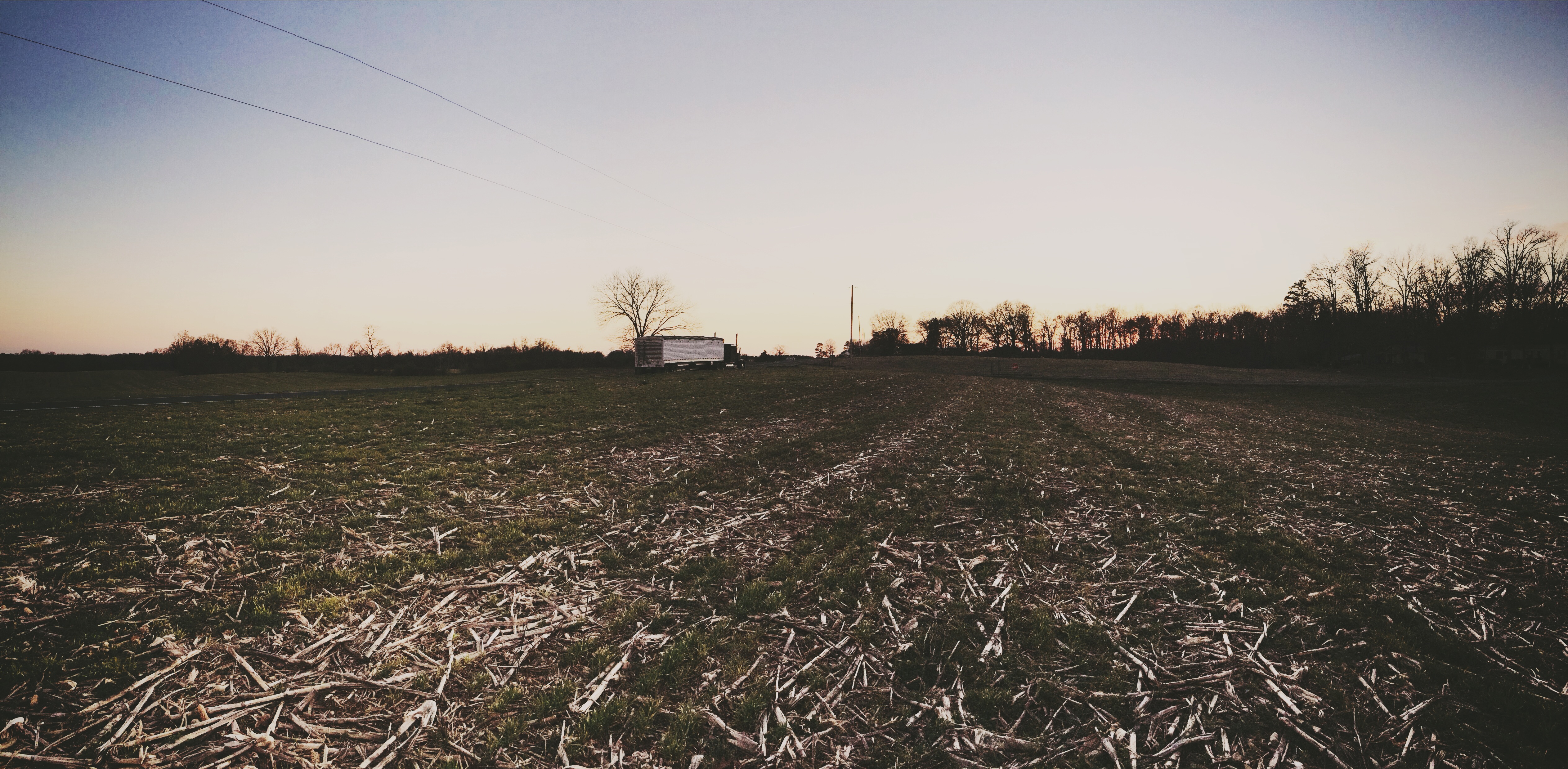
The Sudden Incendiary Splash of Dawn

#sunset #nofilter

I think I love you.
I'm not sad anymore.
July 21 // morning fog
July 21 // morning fog
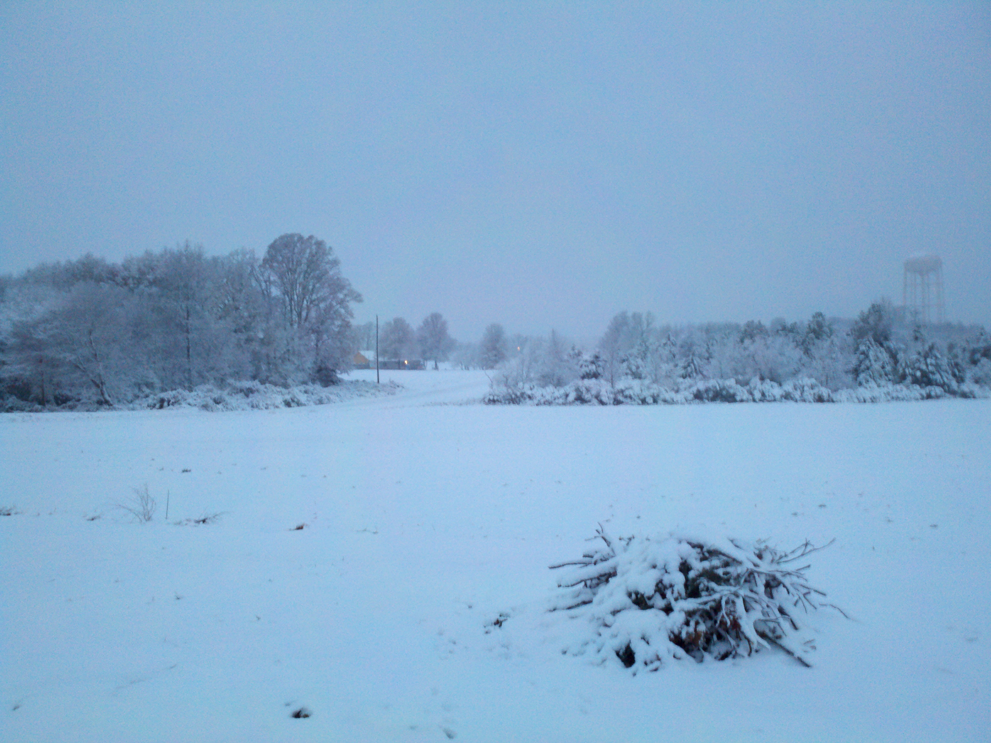
Snow!

I'm ready for fall again.

July 21 // morning fog
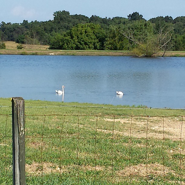
#swans #summer
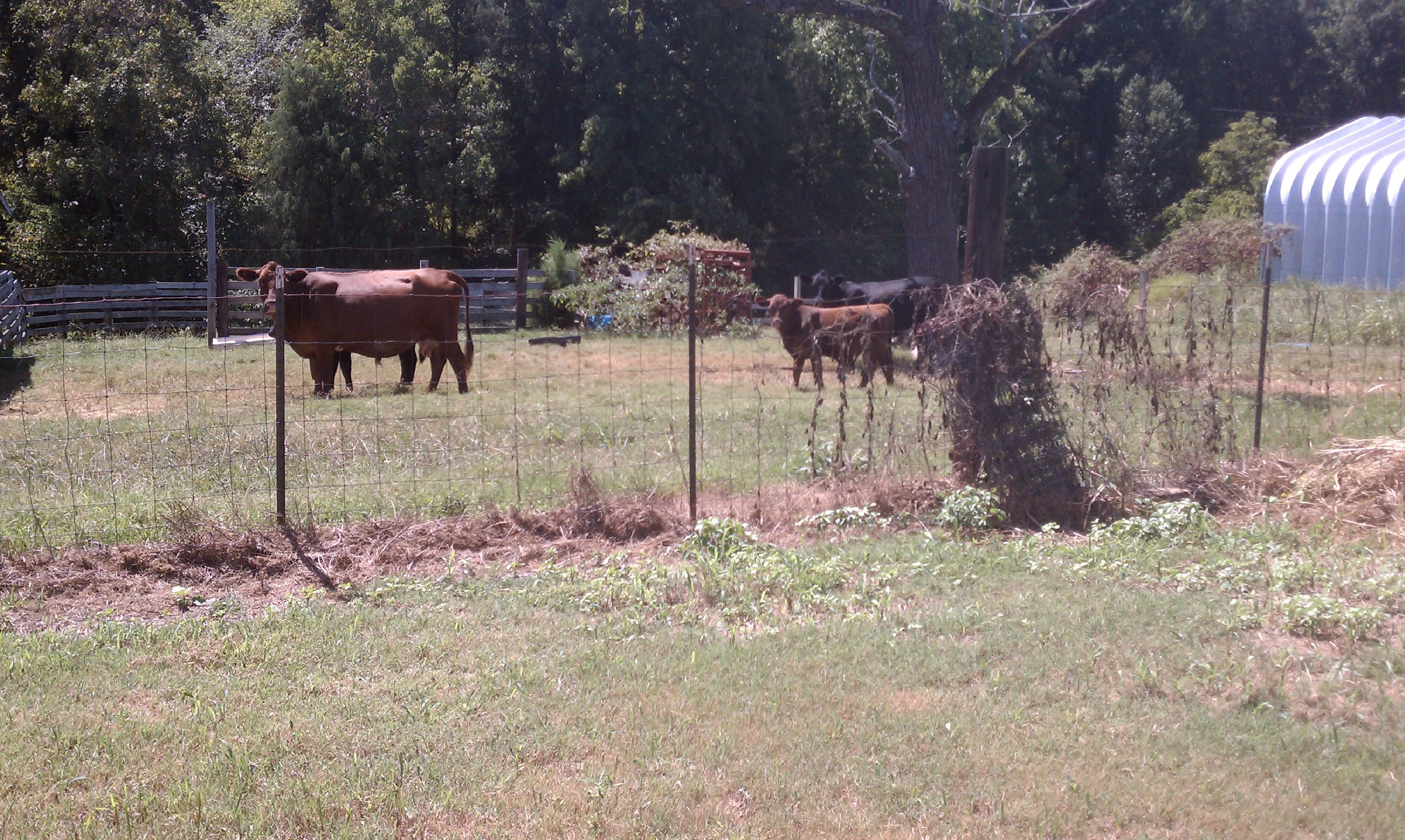
Cows on the Ag Class Grounds
Topographic Map of State Rd, Marshville, NC, USA
Find elevation by address:

Places near State Rd, Marshville, NC, USA:
7524 Burnsville Rd
394 Faulkner Rd
Old Goldmine Road
New Salem
7125 St Timothy Rd
Peachland
422 Cedar Grove Church Rd
161 Upper White Store Rd
7511 Ansonville-polkton Rd
7511 Ansonville-polkton Rd
7511 Ansonville-polkton Rd
6820 Olive Branch Rd
6814 Olive Branch Rd
Polkton
Marshville
207 S Elm St
6408 Olive Branch Rd
Marshville
4909 Sadies Pl
5421 Olive Branch Rd
Recent Searches:
- Elevation of Lampiasi St, Sarasota, FL, USA
- Elevation of Elwyn Dr, Roanoke Rapids, NC, USA
- Elevation of Congressional Dr, Stevensville, MD, USA
- Elevation of Bellview Rd, McLean, VA, USA
- Elevation of Stage Island Rd, Chatham, MA, USA
- Elevation of Shibuya Scramble Crossing, 21 Udagawacho, Shibuya City, Tokyo -, Japan
- Elevation of Jadagoniai, Kaunas District Municipality, Lithuania
- Elevation of Pagonija rock, Kranto 7-oji g. 8"N, Kaunas, Lithuania
- Elevation of Co Rd 87, Jamestown, CO, USA
- Elevation of Tenjo, Cundinamarca, Colombia