Elevation of St Timothy Rd, Marshville, NC, USA
Location: United States > North Carolina > Union County > Marshville > Marshville >
Longitude: -80.320007
Latitude: 35.14968
Elevation: 137m / 449feet
Barometric Pressure: 100KPa
Elevation Map:
Satellite Map:
Related Photos:

OFF TO SEE THE WIZARD...

July 21 // morning fog

I think I love you.

July 21 // morning fog

I'm not sad anymore.

I'm ready for fall again.

The Sudden Incendiary Splash of Dawn

July 21 // morning fog

#sunset #nofilter
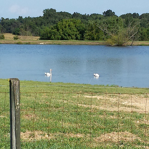
#swans #summer
Topographic Map of St Timothy Rd, Marshville, NC, USA
Find elevation by address:

Places near St Timothy Rd, Marshville, NC, USA:
New Salem
7524 Burnsville Rd
7511 State Rd 1002
Old Goldmine Road
394 Faulkner Rd
6820 Olive Branch Rd
6814 Olive Branch Rd
422 Cedar Grove Church Rd
6408 Olive Branch Rd
4909 Sadies Pl
5421 Olive Branch Rd
Peachland
Marshville
161 Upper White Store Rd
207 S Elm St
Marshville
7511 Ansonville-polkton Rd
7511 Ansonville-polkton Rd
7511 Ansonville-polkton Rd
Polkton
Recent Searches:
- Elevation of Tenjo, Cundinamarca, Colombia
- Elevation of Côte-des-Neiges, Montreal, QC H4A 3J6, Canada
- Elevation of Bobcat Dr, Helena, MT, USA
- Elevation of Zu den Ihlowbergen, Althüttendorf, Germany
- Elevation of Badaber, Peshawar, Khyber Pakhtunkhwa, Pakistan
- Elevation of SE Heron Loop, Lincoln City, OR, USA
- Elevation of Slanický ostrov, 01 Námestovo, Slovakia
- Elevation of Spaceport America, Co Rd A, Truth or Consequences, NM, USA
- Elevation of Warwick, RI, USA
- Elevation of Fern Rd, Whitmore, CA, USA