Elevation of State Hwy Z, Fordland, MO, USA
Location: United States > Missouri > Webster County > Green Hill Township > Fordland >
Longitude: -92.90714
Latitude: 37.087657
Elevation: 474m / 1555feet
Barometric Pressure: 96KPa
Elevation Map:
Satellite Map:
Related Photos:
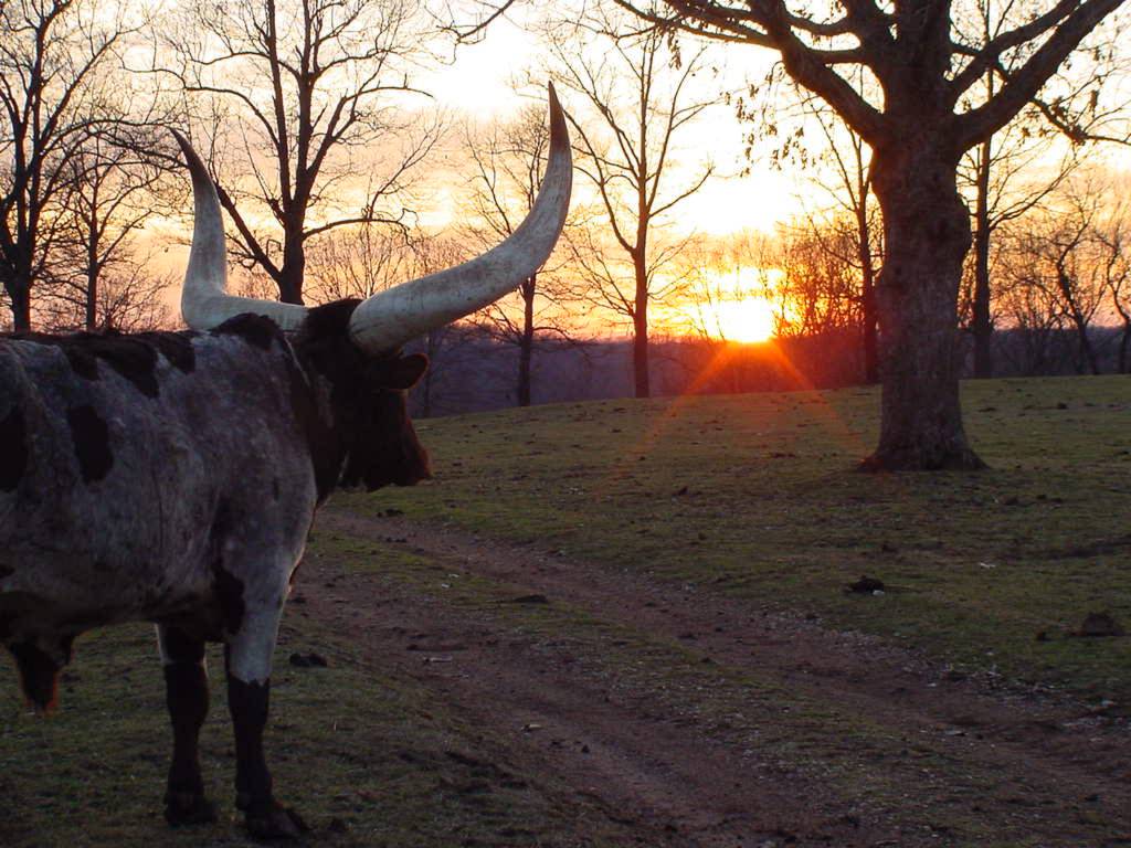
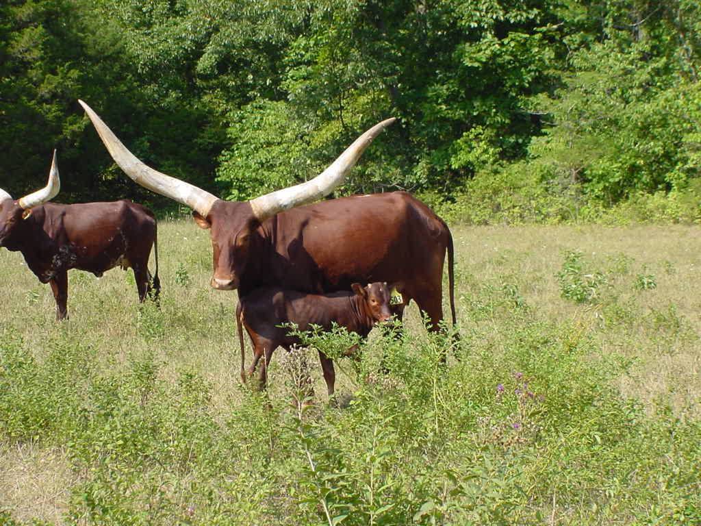
SUNSET VIEW
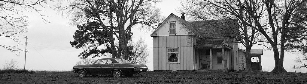
Near Olga, State Highway Z

Love this part of the #country !

Buna dimineatza! Park ii noapte, pahodu azi ii furtuna serioasa! :)

WP_20140618_010.jpg

WP_20140618_007.jpg
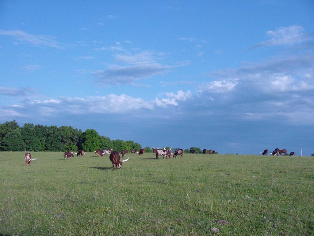
HIGH HAY FIELD
WP_20140618_008.jpg
OKSANA 8-05
052910-6
052210-blackout6
Topographic Map of State Hwy Z, Fordland, MO, USA
Find elevation by address:

Places near State Hwy Z, Fordland, MO, USA:
951 Chickasaw Rd
851 Chickasaw Rd
744 State Hwy Z
351 Swallow Dr
Bruner
Bruner
East Mountain Drive
644 Valley View Rd
State Highway Ak
462 Braden Rd
West Benton Township
8155 State Hwy T
Lead Hill Township
301 Estate Dr
295 Estate Dr
Sparta
Burkhart Drive
Chadwick
Linden Township
288 River Rock Rd
Recent Searches:
- Elevation of Woodland Oak Pl, Thousand Oaks, CA, USA
- Elevation of Brownsdale Rd, Renfrew, PA, USA
- Elevation of Corcoran Ln, Suffolk, VA, USA
- Elevation of Mamala II, Sariaya, Quezon, Philippines
- Elevation of Sarangdanda, Nepal
- Elevation of 7 Waterfall Way, Tomball, TX, USA
- Elevation of SW 57th Ave, Portland, OR, USA
- Elevation of Crocker Dr, Vacaville, CA, USA
- Elevation of Pu Ngaol Community Meeting Hall, HWHM+3X7, Krong Saen Monourom, Cambodia
- Elevation of Royal Ontario Museum, Queens Park, Toronto, ON M5S 2C6, Canada