Elevation of Bruner, MO, USA
Location: United States > Missouri > Christian County >
Longitude: -92.967557
Latitude: 37.0138025
Elevation: 453m / 1486feet
Barometric Pressure: 96KPa
Elevation Map:
Satellite Map:
Related Photos:
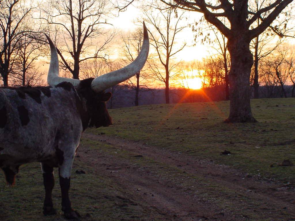
SUNSET VIEW
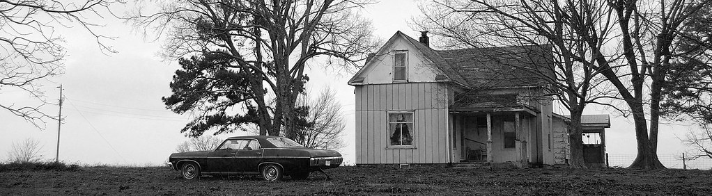
Near Olga, State Highway Z
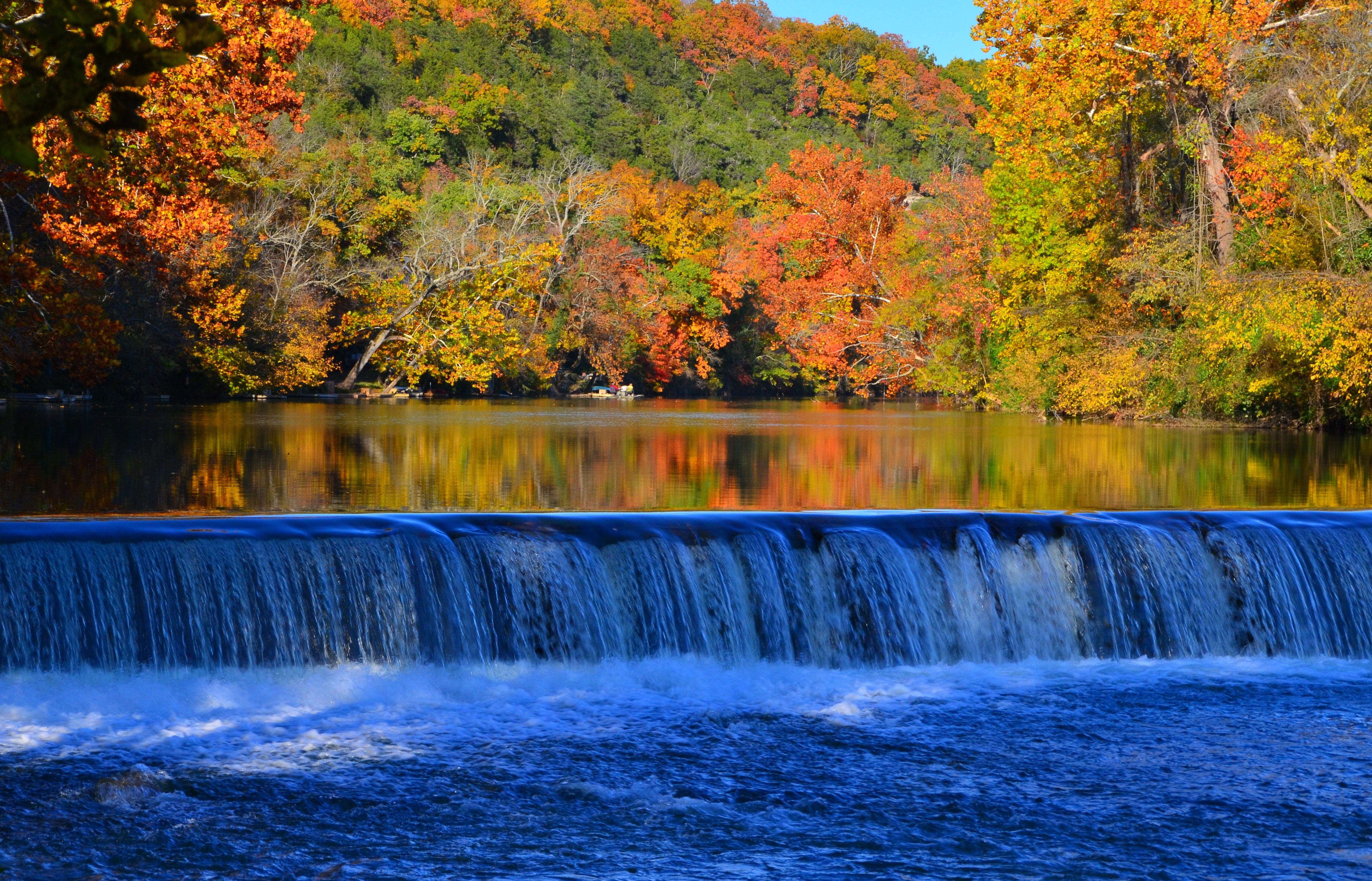
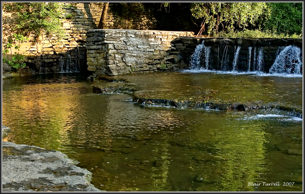
Lindenlure falls
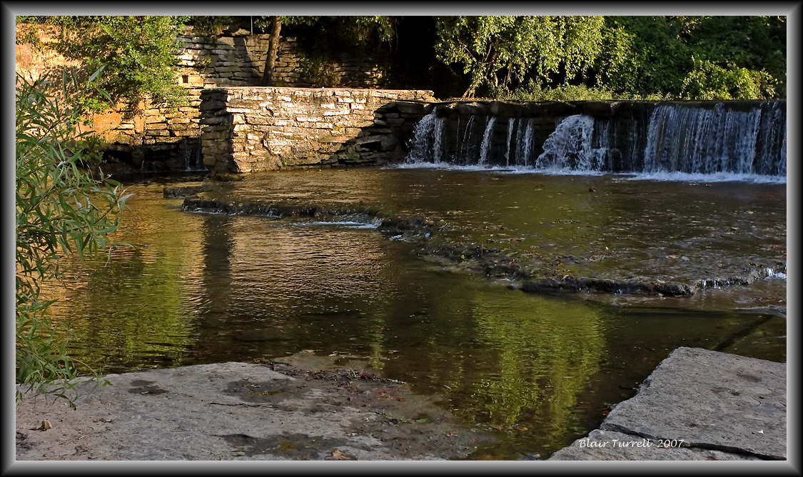
Linden Lure Falls

Love this part of the #country !

Buna dimineatza! Park ii noapte, pahodu azi ii furtuna serioasa! :)
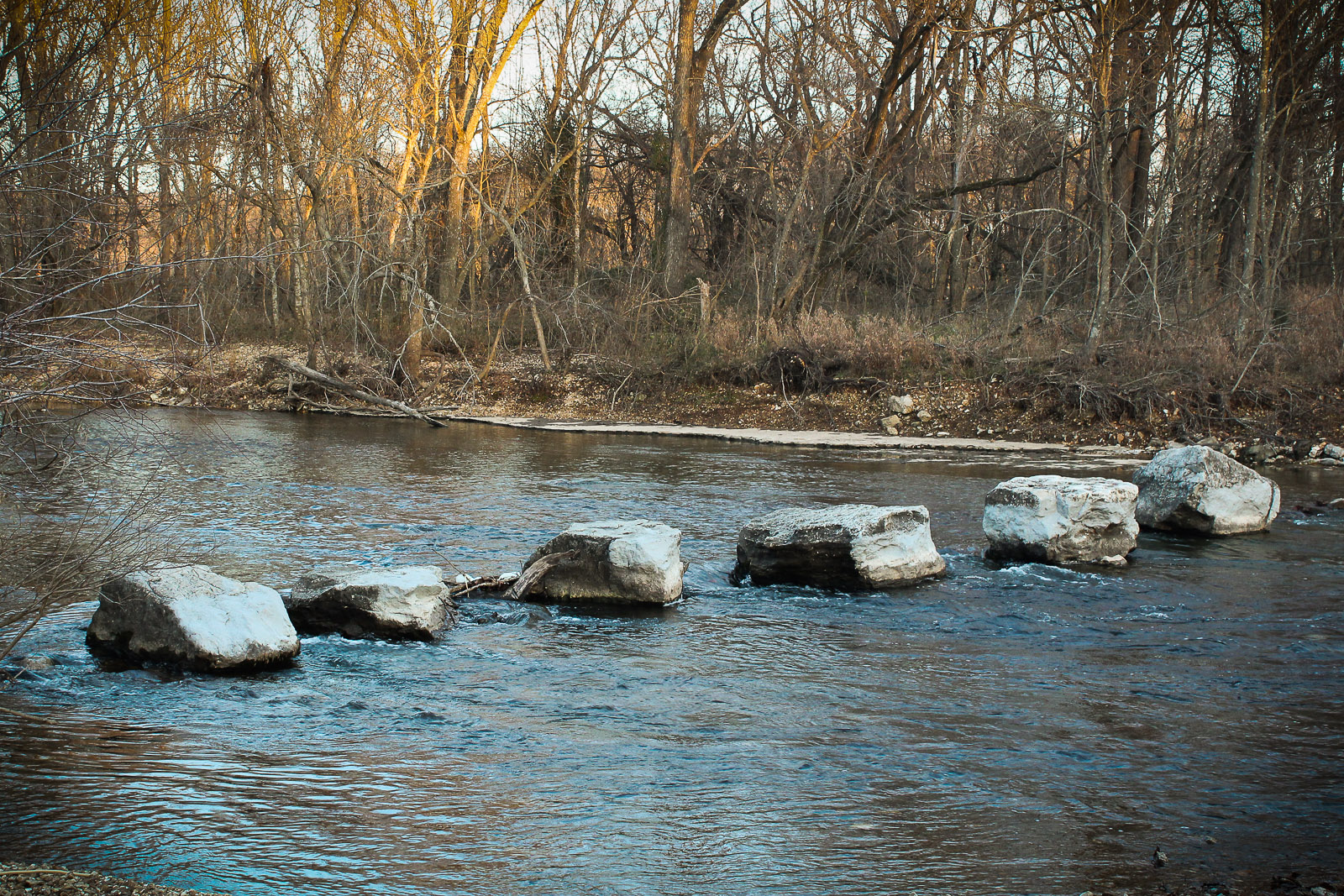
Lindenlure Rocks
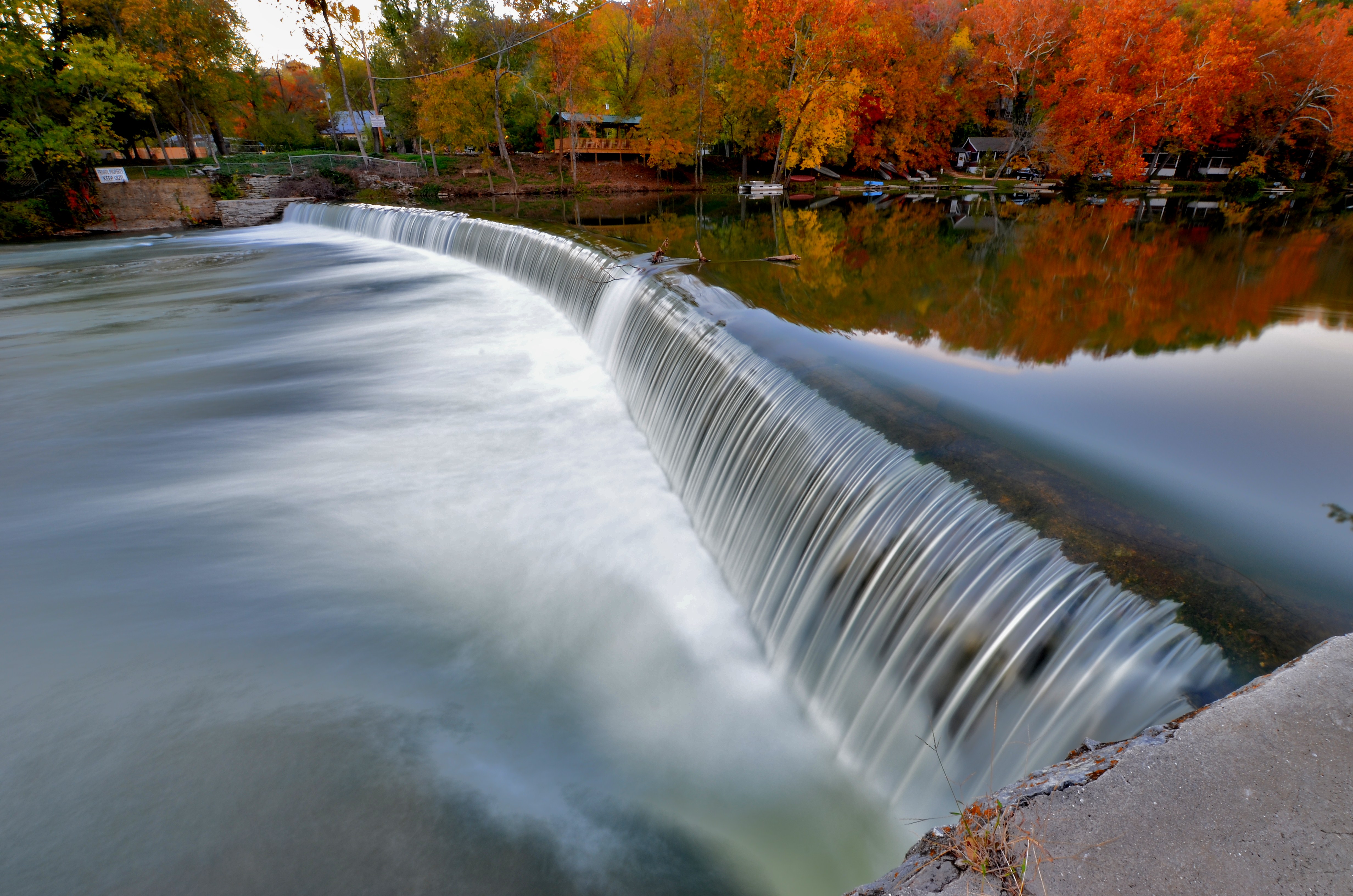
Finley River Falls
Finley River 2

WP_20140618_010.jpg

WP_20140618_007.jpg
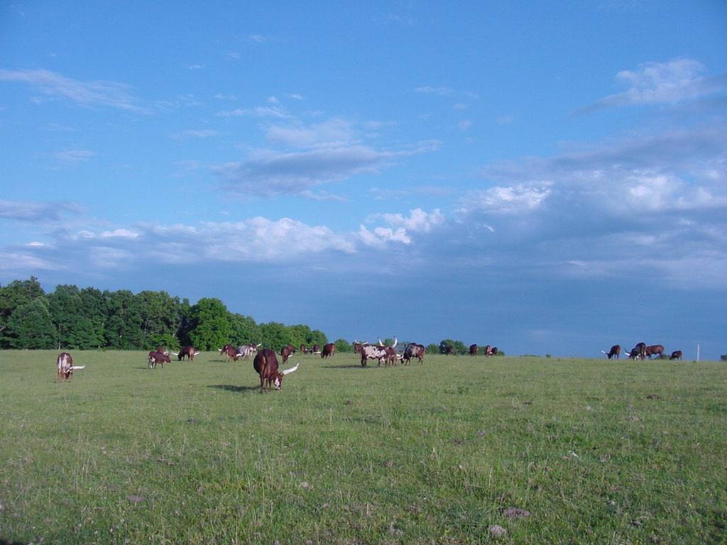
HIGH HAY FIELD
WP_20140618_008.jpg
OKSANA 8-05
052910-6
052210-blackout6
Topographic Map of Bruner, MO, USA
Find elevation by address:

Places in Bruner, MO, USA:
Places near Bruner, MO, USA:
Bruner
744 State Hwy Z
East Mountain Drive
851 Chickasaw Rd
951 Chickasaw Rd
351 Swallow Dr
462 Braden Rd
8155 State Hwy T
Lead Hill Township
644 Valley View Rd
West Benton Township
State Hwy Z, Fordland, MO, USA
301 Estate Dr
295 Estate Dr
Burkhart Drive
Chadwick
Sparta
State Highway Ak
Linden Township
Mccracken Township
Recent Searches:
- Elevation of Corso Fratelli Cairoli, 35, Macerata MC, Italy
- Elevation of Tallevast Rd, Sarasota, FL, USA
- Elevation of 4th St E, Sonoma, CA, USA
- Elevation of Black Hollow Rd, Pennsdale, PA, USA
- Elevation of Oakland Ave, Williamsport, PA, USA
- Elevation of Pedrógão Grande, Portugal
- Elevation of Klee Dr, Martinsburg, WV, USA
- Elevation of Via Roma, Pieranica CR, Italy
- Elevation of Tavkvetili Mountain, Georgia
- Elevation of Hartfords Bluff Cir, Mt Pleasant, SC, USA