Elevation of State Hwy H, Miner, MO, USA
Location: United States > Missouri > Scott County >
Longitude: -89.538120
Latitude: 36.8922389
Elevation: 95m / 312feet
Barometric Pressure: 100KPa
Elevation Map:
Satellite Map:
Related Photos:
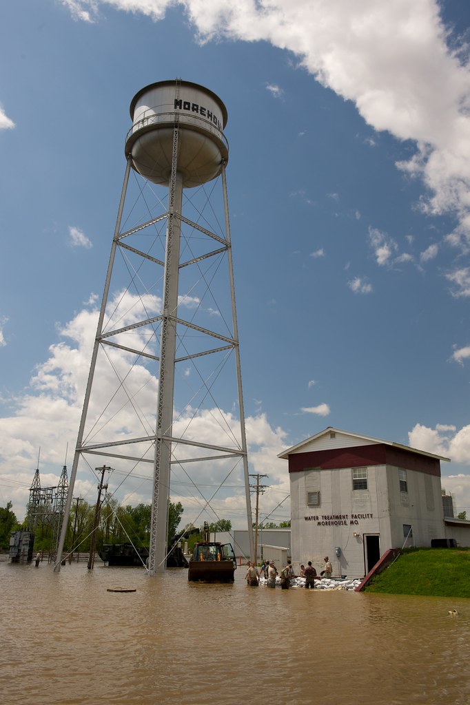
Morehouse, Missouri Flood

summer blossoms

Sunset, Southern Missouri 1

SE Heather and Nicole
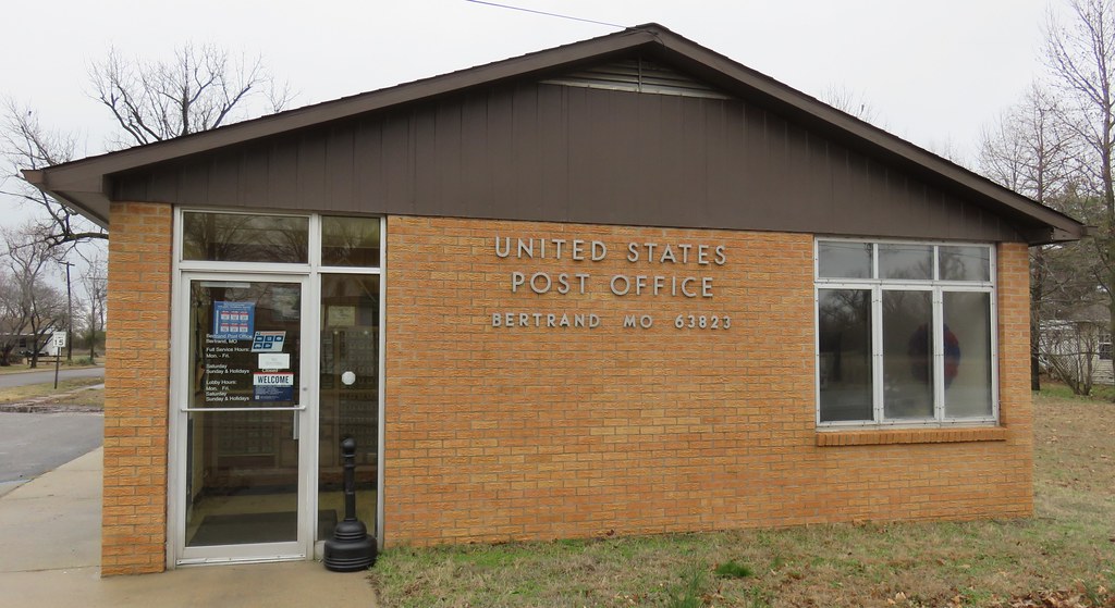
Post Office 63823 (Bertrand, Missouri)

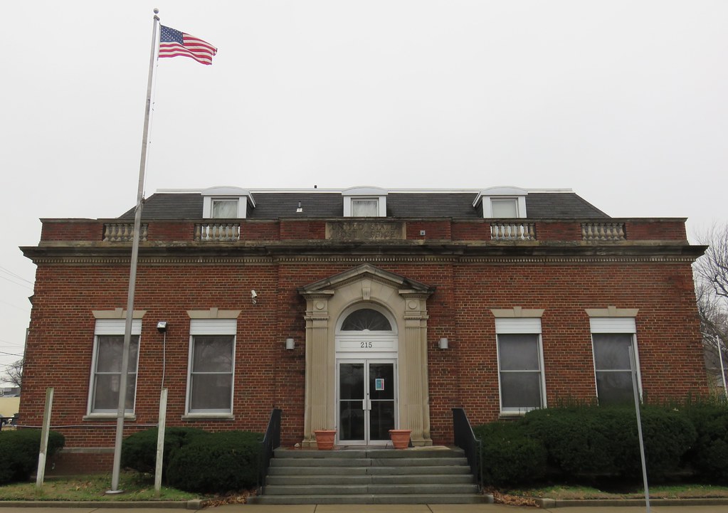
Post Office 63801 (Sikeston, Missouri)
Old Post Office 63801 (Sikeston, Missouri)
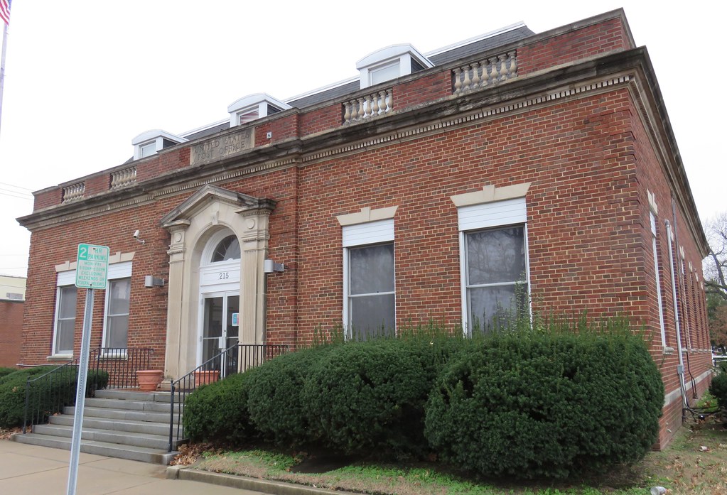
Old Post Office 63801 (Sikeston, Missouri)

Old Post Office 63801 Cornerstone (Sikeston, Missouri)
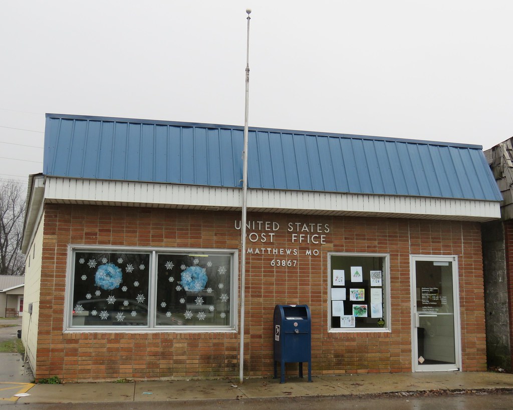
Post Office 63867 (Matthews, Missouri)

Blanchard Funeral Home

20150810-124928-3

20150810-124925-2

20150810-124921-1

NOLA Trip 2015 - Lambert's Cafe

19-July ; Lambert's Cafe

@lovestravelstops in #sikeston #Missouri #mowx #clouds #skylines #myview

Matte mozart

REMEMBER?

IMG_3149.JPG

IMG_3148.JPG

Ahh, now THIS is lunch on the road! #throwedrolls #yummyveggies #walkarounds
Topographic Map of State Hwy H, Miner, MO, USA
Find elevation by address:

Places near State Hwy H, Miner, MO, USA:
Richland Township
Selma Street
102 Jennings Ln
301 Jennings Ln
Sikeston
E Front St, Sikeston, MO, USA
County Road 449
County Road 449
905 Westview Dr
1100 W Wakefield Ave
Sandywoods Township
Diehlstadt
N Bridges St, Charleston, MO, USA
Morley Township
State Hwy Y, Sikeston, MO, USA
Morley
201 Kirkwood St
West Township
Scott County
Tywappity Township
Recent Searches:
- Elevation of Corso Fratelli Cairoli, 35, Macerata MC, Italy
- Elevation of Tallevast Rd, Sarasota, FL, USA
- Elevation of 4th St E, Sonoma, CA, USA
- Elevation of Black Hollow Rd, Pennsdale, PA, USA
- Elevation of Oakland Ave, Williamsport, PA, USA
- Elevation of Pedrógão Grande, Portugal
- Elevation of Klee Dr, Martinsburg, WV, USA
- Elevation of Via Roma, Pieranica CR, Italy
- Elevation of Tavkvetili Mountain, Georgia
- Elevation of Hartfords Bluff Cir, Mt Pleasant, SC, USA