Elevation of Kirkwood St, Morley, MO, USA
Location: United States > Missouri > Scott County > Morley Township > Morley >
Longitude: -89.609777
Latitude: 37.0448531
Elevation: 105m / 344feet
Barometric Pressure: 100KPa
Elevation Map:
Satellite Map:
Related Photos:

Ahead of schedule

Sexy Boy
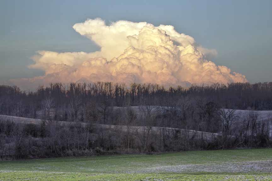
Clouds on the Horizon

moss covered trail
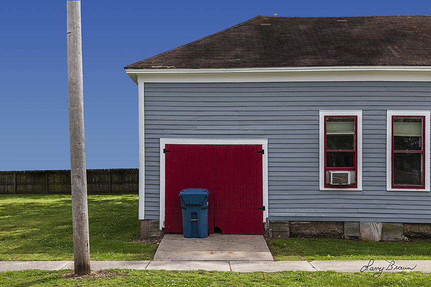
Blue trash can by Red Door
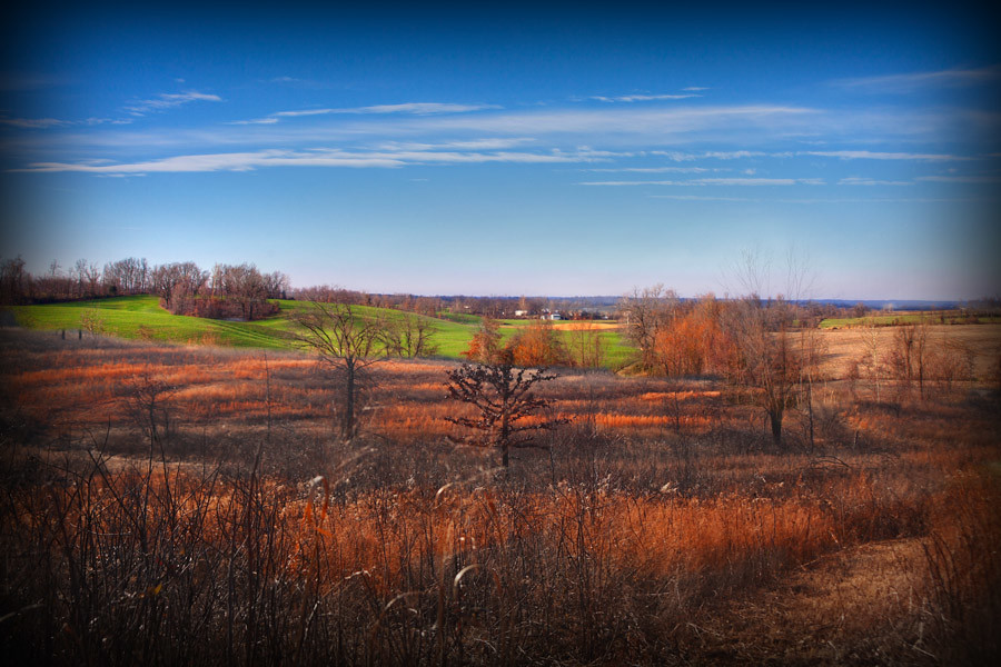
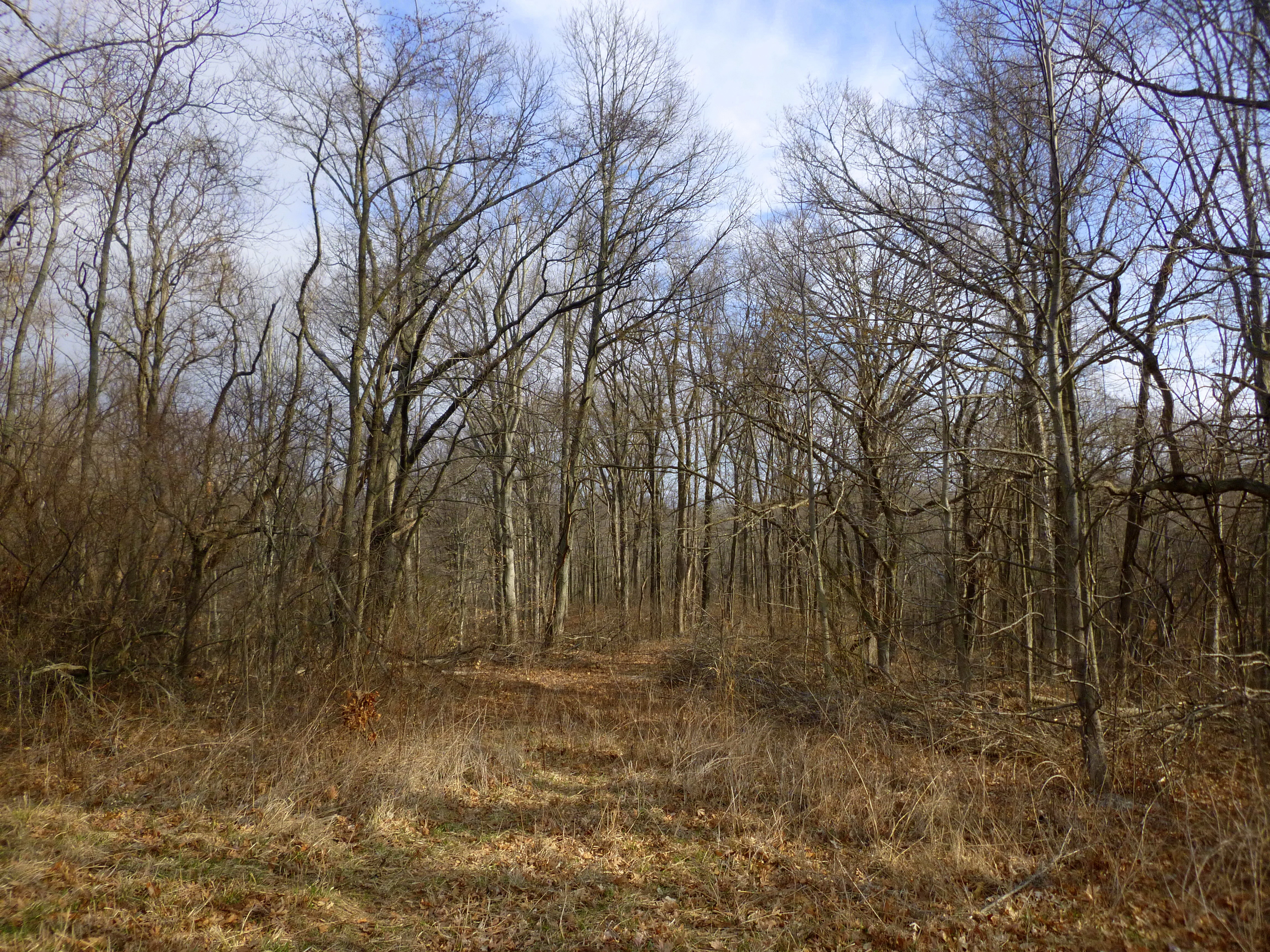
Winter in Missouri

Osage Apples

Sand Prairie Grass

Widow Skimmer

Widow Skimmer

Golden Aster

Tree Cricket on Golden Aster

Wild Garlic

He's A Thinker Or Maybe A Plotter
Gone Fishin'
General Watkins Conservation Area

Grasshopper Sparrow

Eastern Amberwing

Grasshopper Sparrow
Topographic Map of Kirkwood St, Morley, MO, USA
Find elevation by address:

Places near Kirkwood St, Morley, MO, USA:
Morley
Scott County
Morley Township
Oran
County Highway 250
Benton
Moreland Township
County Road 241
State Hwy A, Chaffee, MO, USA
Sylvania Township
Vanduser
County Road 449
County Road 449
MO-77, Oran, MO, USA
Sandywoods Township
301 Jennings Ln
102 Jennings Ln
Chaffee
Kelso Township
Richland Township
Recent Searches:
- Elevation of Zimmer Trail, Pennsylvania, USA
- Elevation of 87 Kilmartin Ave, Bristol, CT, USA
- Elevation of Honghe National Nature Reserve, QP95+PJP, Tongjiang, Heilongjiang, Jiamusi, Heilongjiang, China
- Elevation of Hercules Dr, Colorado Springs, CO, USA
- Elevation of Szlak pieszy czarny, Poland
- Elevation of Griffing Blvd, Biscayne Park, FL, USA
- Elevation of Kreuzburger Weg 13, Düsseldorf, Germany
- Elevation of Gateway Blvd SE, Canton, OH, USA
- Elevation of East W.T. Harris Boulevard, E W.T. Harris Blvd, Charlotte, NC, USA
- Elevation of West Sugar Creek, Charlotte, NC, USA