Elevation of State Highway A, State Hwy A, Florida, USA
Location: United States > Florida > Marion County > Ocklawaha >
Longitude: -81.860606
Latitude: 29.0824618
Elevation: 31m / 102feet
Barometric Pressure: 101KPa
Elevation Map:
Satellite Map:
Related Photos:

Wagon wheel

Gypsies, tramps and thieves

The Dog Catcher
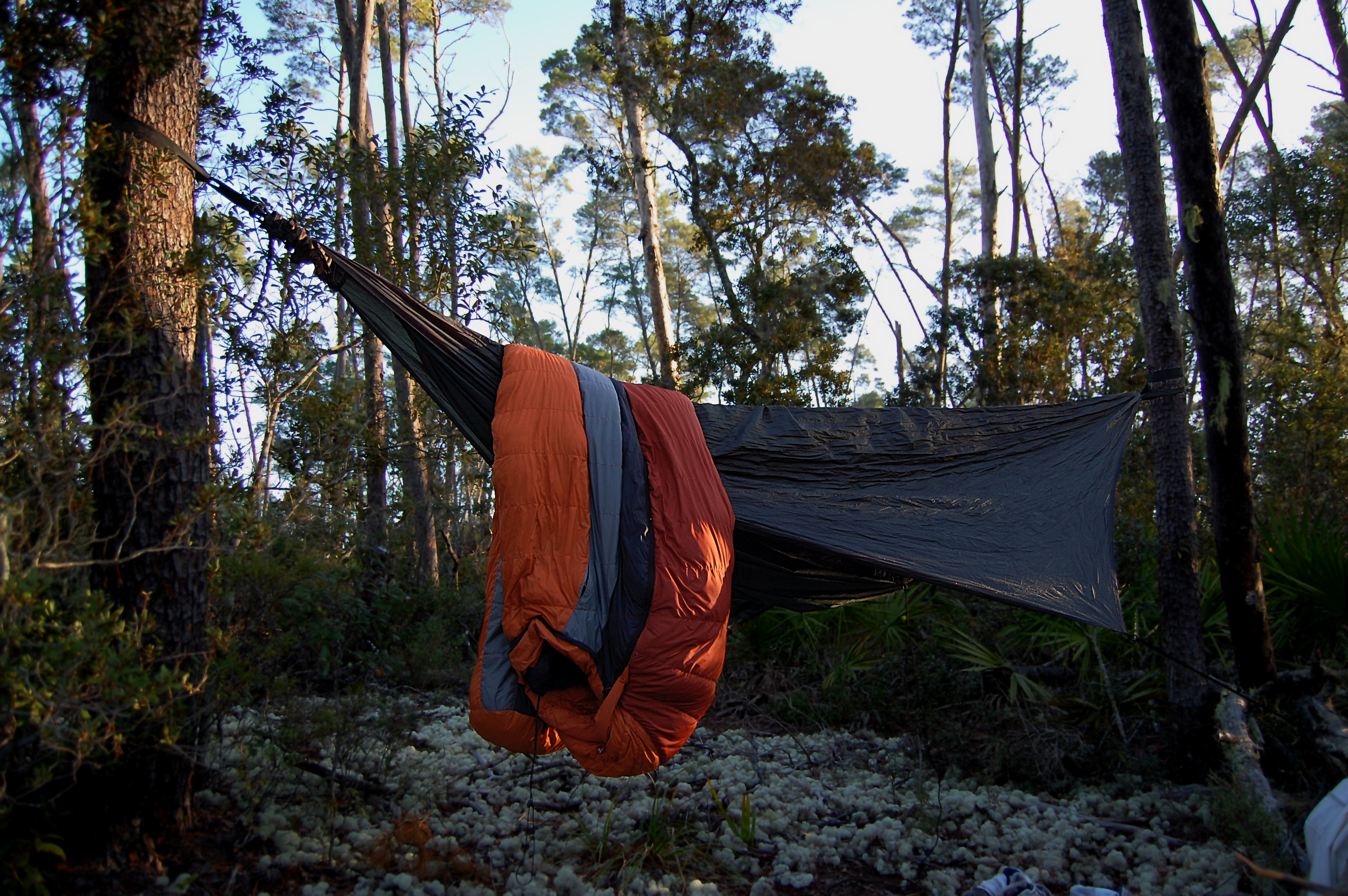
My Hammock
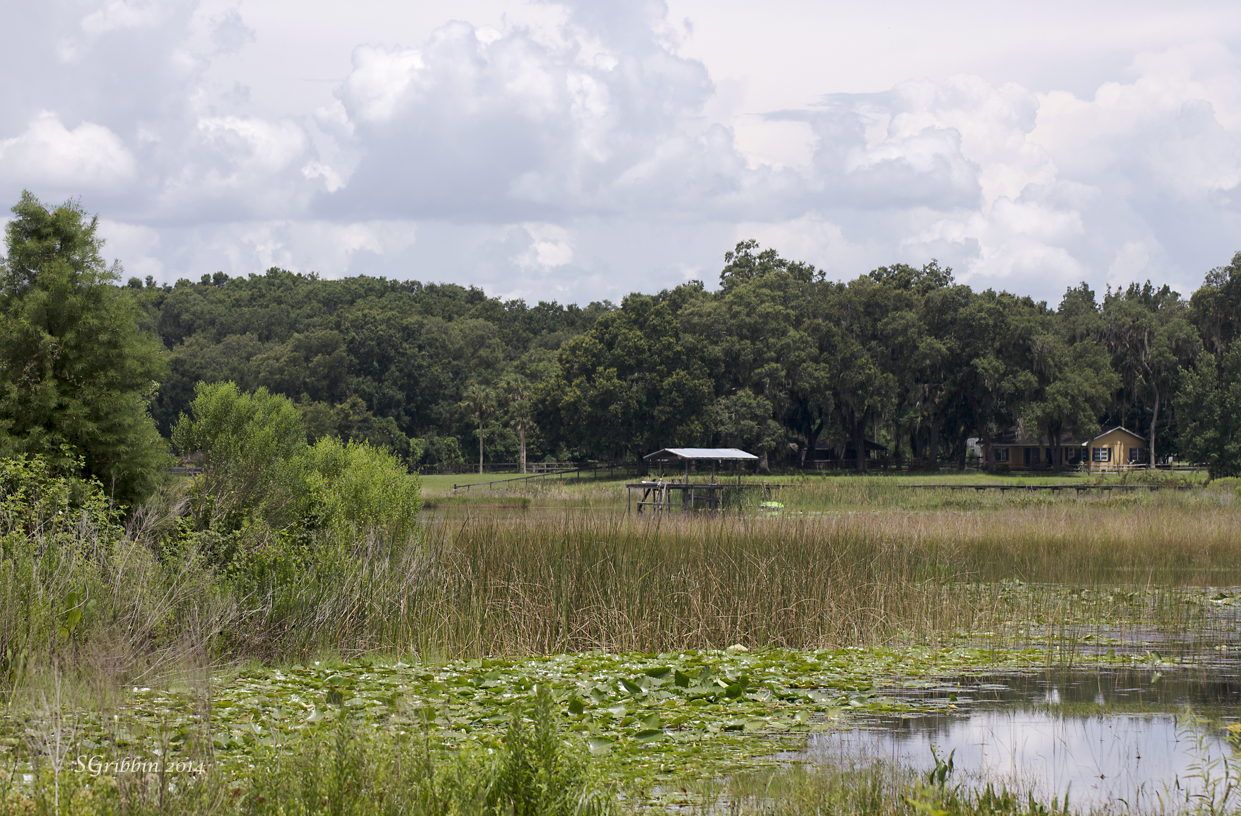
Lakeshore View
Palm view

Cat's eye view

Viewing tower

Pier extends over marsh
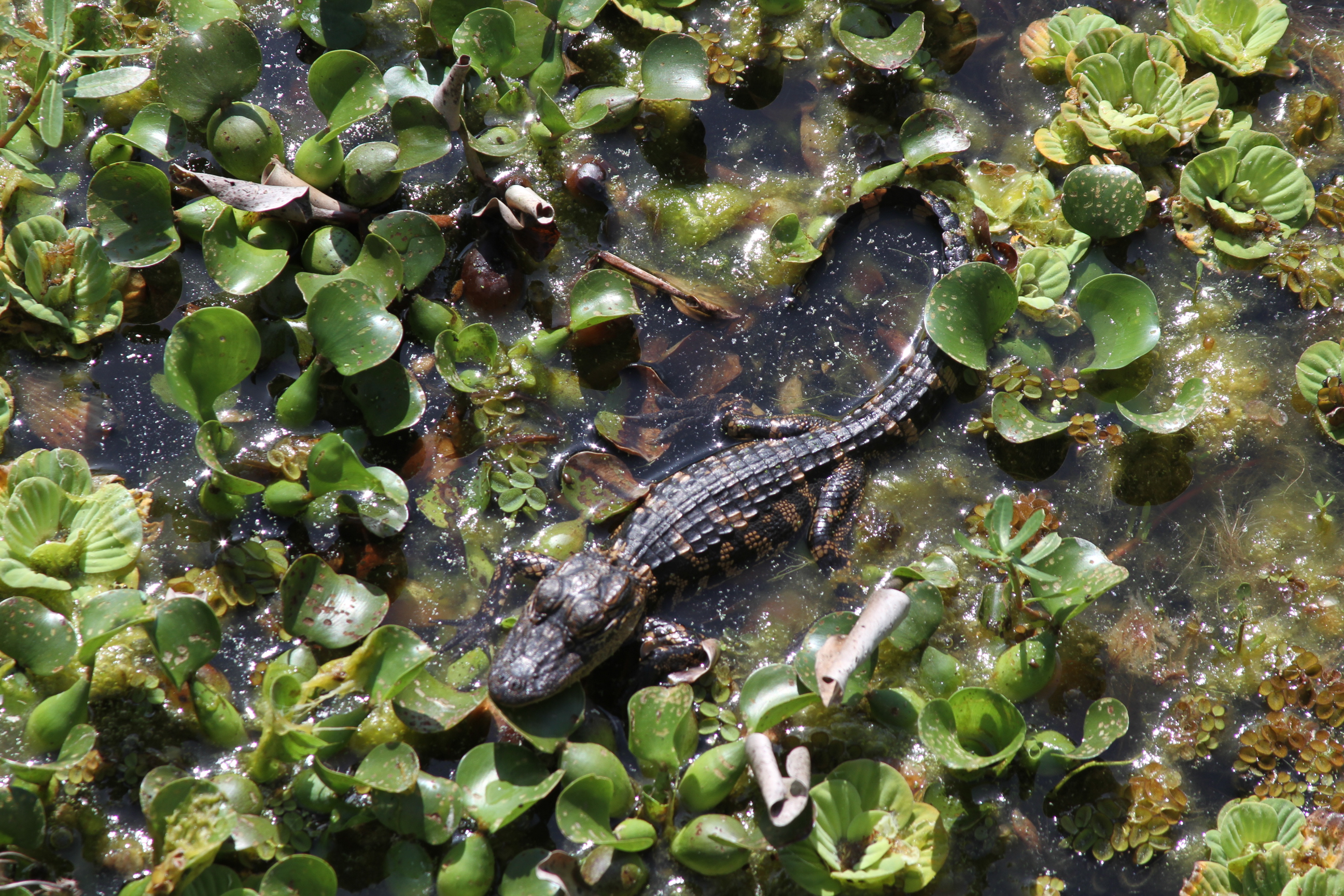
Baby alligator - about 1 foot long - best viewed large
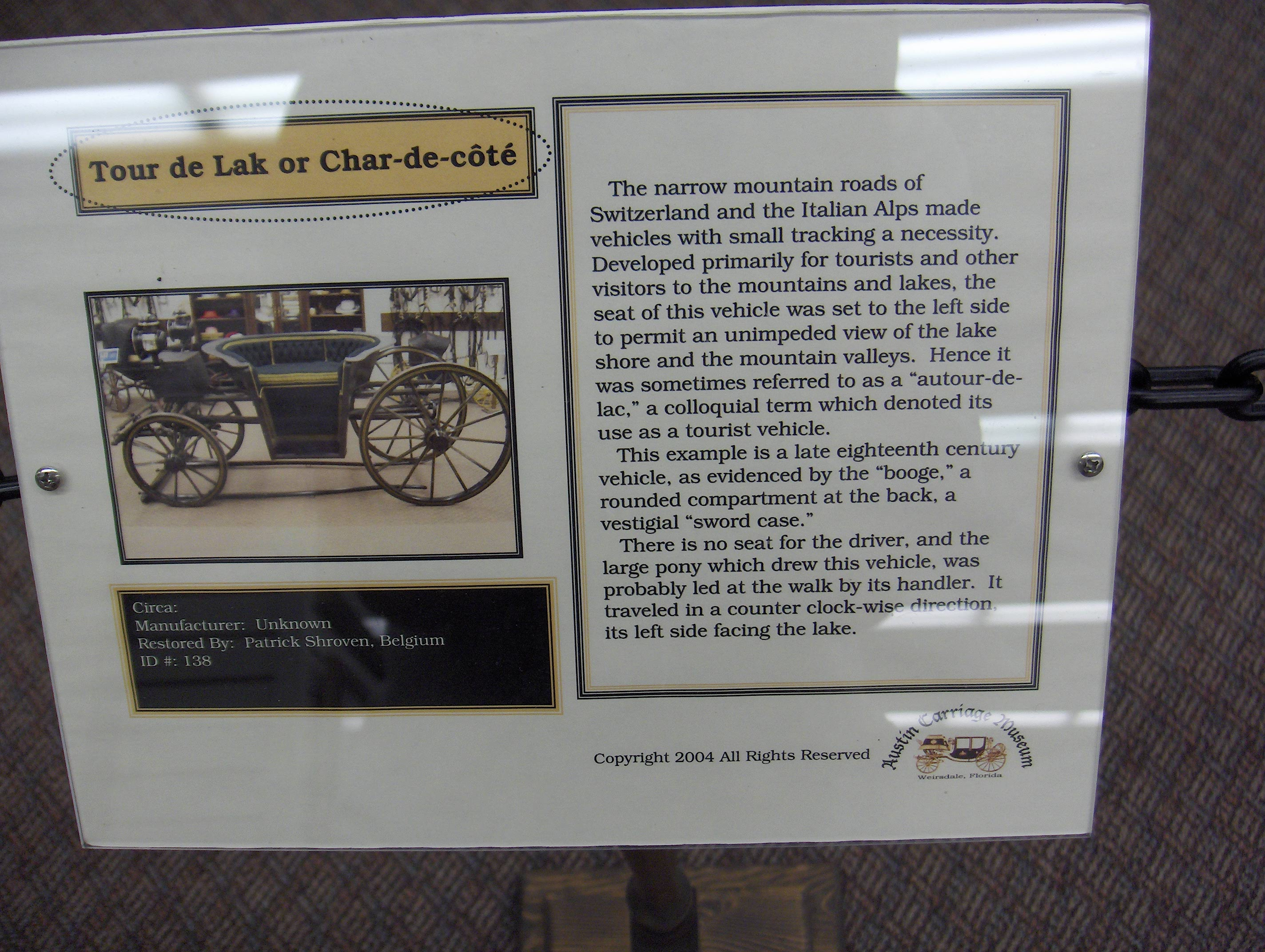
267 Tour de Lak Img_1707

The black-throated wind keeps on pouring in

My People! #thingsiseeonmyrun

DSC_0202.jpg

The Watering Hole

DSC_0440.jpg

Good morning from Lake Weir. #ocala #lakeweir

DSC_0438.jpg

DSC_0226.jpg

SD533437 600x450

Certified Angus Beef ranch, outside Ocala

Half Moon Lake Sunset 2

Moss Bluff 11

Friends in town. Eating on the lake. #lakeweir #ocala #instaplace #instaplaceapp #instagood #travelgram #photooftheday #instamood #picoftheday #instadaily #photo #instacool #instapic #picture #pic @instaplaceapp #place #earth #world #unitedstates #ocklaw

Moss Bluff 07

Alaska AS 1300 SFO-MCO

Gulf Fritillary

Moss Bluff 09

Moss Bluff 05

DSCN1383_19400 Southeast Highway 42, Umatilla, FL 32784, USA

Lake Weir, Oct 20, 2009
Topographic Map of State Highway A, State Hwy A, Florida, USA
Find elevation by address:

Places near State Highway A, State Hwy A, Florida, USA:
9487 Se 177th Ct
18115 Se 95th Street Rd
17010 Se 95th Street Rd
Sequoia Loop Drive
Oklawaha and Moss Bluff Hwy, Ocklawaha, FL, USA
SE 95th Street Rd, Ocklawaha, FL, USA
9286 Se 193rd Ave
9414 Se 195th Ave
19651 Se 92nd Pl
19651 Se 92nd Pl
11921 Se 169th Avenue Rd
6490 Se 168th Ct
Fisher Way Trail, Ocklawaha, FL, USA
SE th Ave, Ocklawaha, FL, USA
5960 Se 183rd Ct
11950 Se 58th Pl
18931 Se 54th Pl
16656 Se 49th Street Rd
Doe Lake Campground - Ocala National Forest
3300 Se 183rd Avenue Rd
Recent Searches:
- Elevation of Congressional Dr, Stevensville, MD, USA
- Elevation of Bellview Rd, McLean, VA, USA
- Elevation of Stage Island Rd, Chatham, MA, USA
- Elevation of Shibuya Scramble Crossing, 21 Udagawacho, Shibuya City, Tokyo -, Japan
- Elevation of Jadagoniai, Kaunas District Municipality, Lithuania
- Elevation of Pagonija rock, Kranto 7-oji g. 8"N, Kaunas, Lithuania
- Elevation of Co Rd 87, Jamestown, CO, USA
- Elevation of Tenjo, Cundinamarca, Colombia
- Elevation of Côte-des-Neiges, Montreal, QC H4A 3J6, Canada
- Elevation of Bobcat Dr, Helena, MT, USA