Elevation of SE th Ave, Ocklawaha, FL, USA
Location: United States > Florida > Marion County > Ocklawaha >
Longitude: -81.873549
Latitude: 29.125194
Elevation: 30m / 98feet
Barometric Pressure: 101KPa
Elevation Map:
Satellite Map:
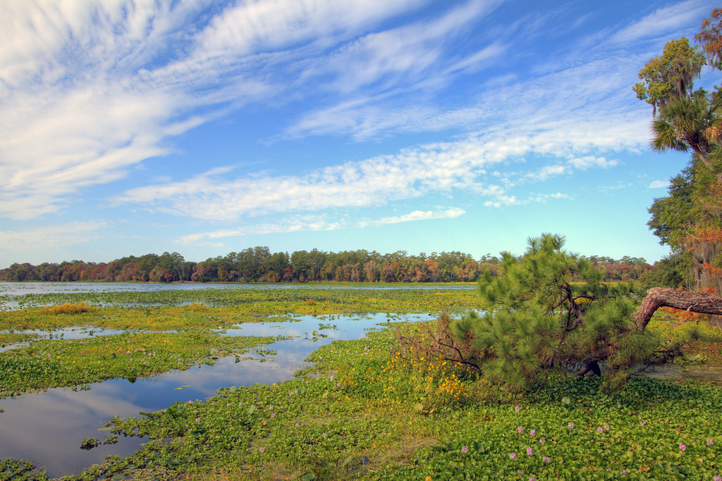
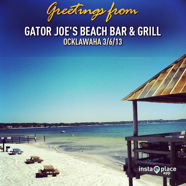
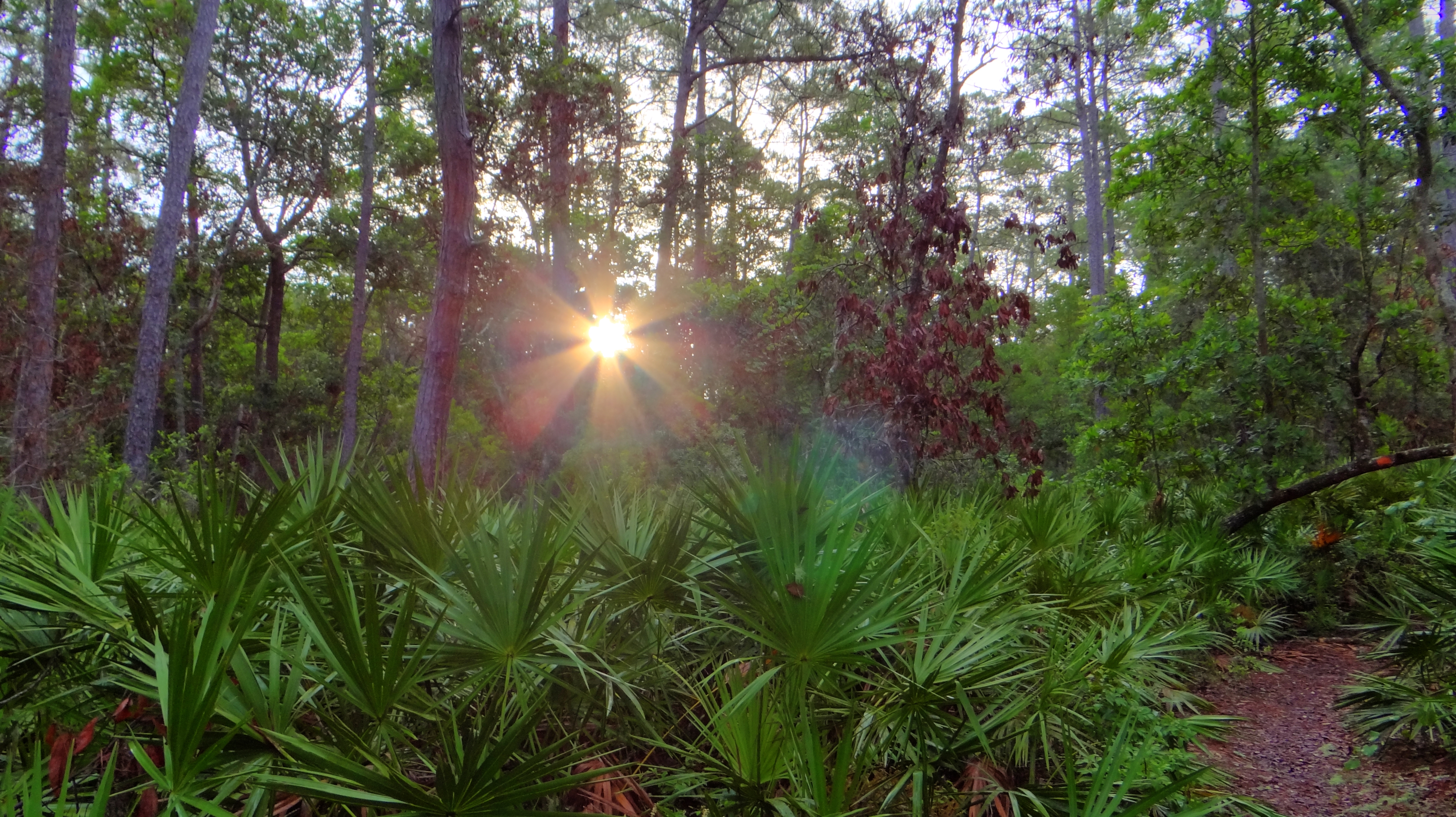
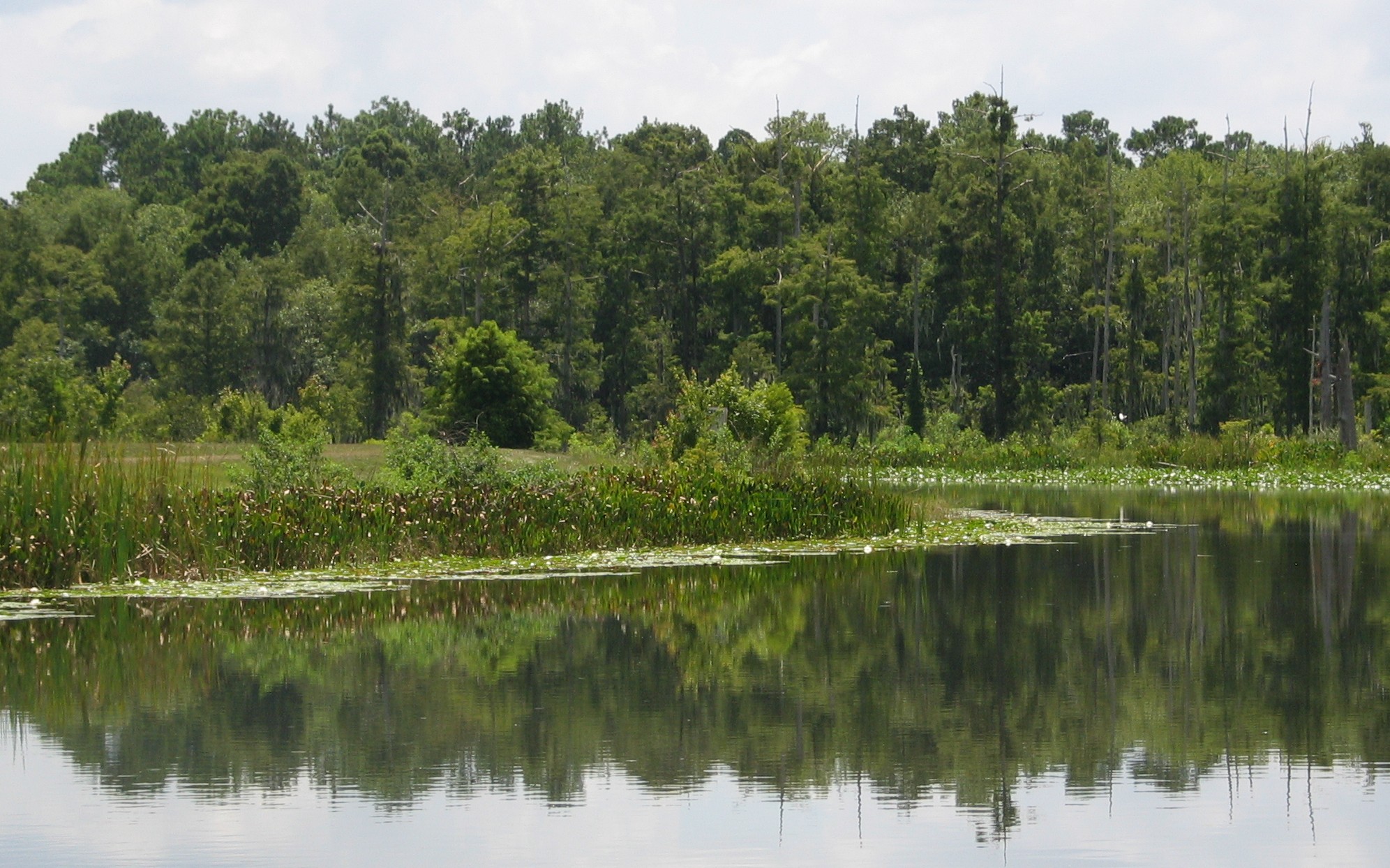
Related Photos:
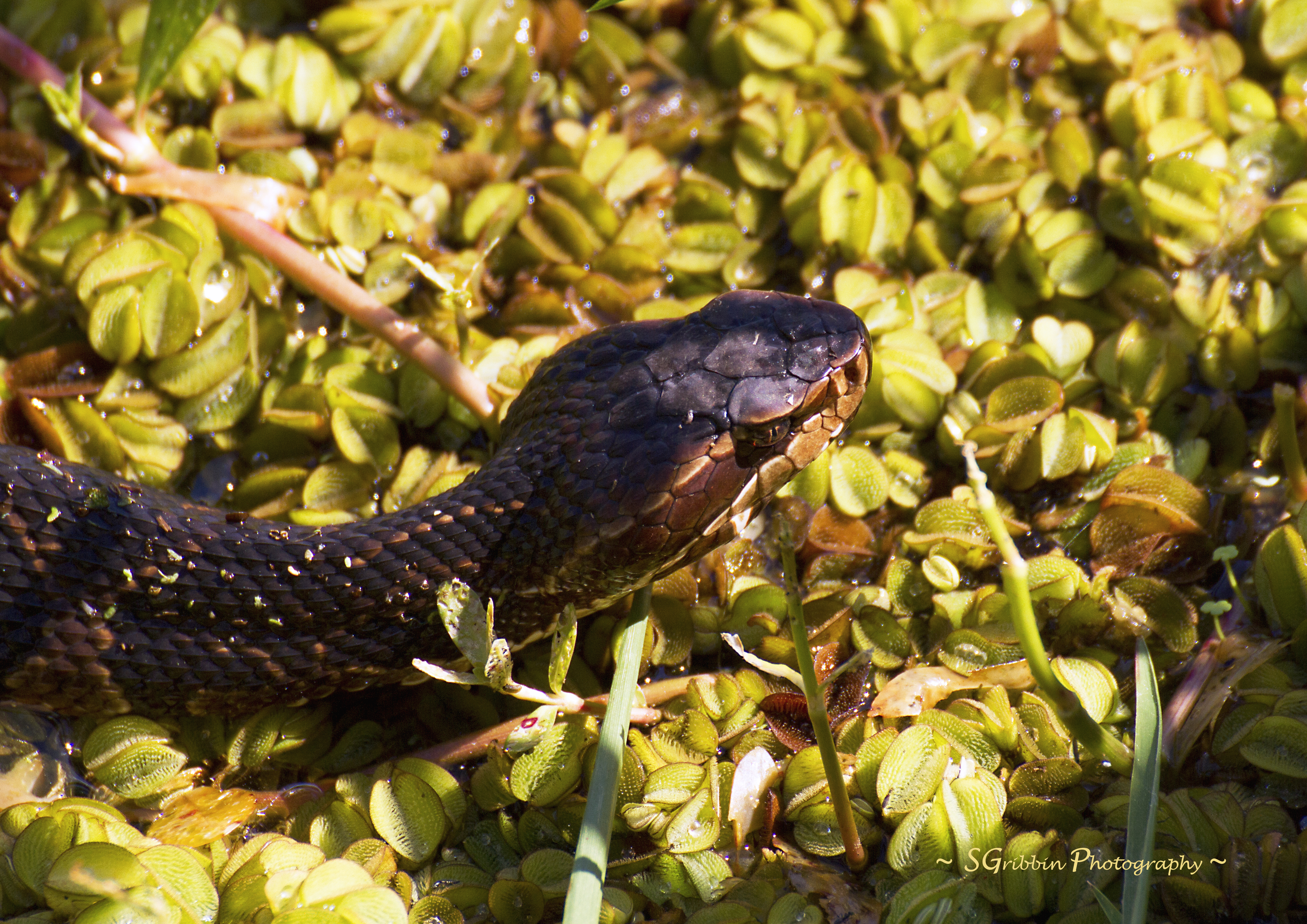
Deadly Bite!

My Hammock

Cat's eye view
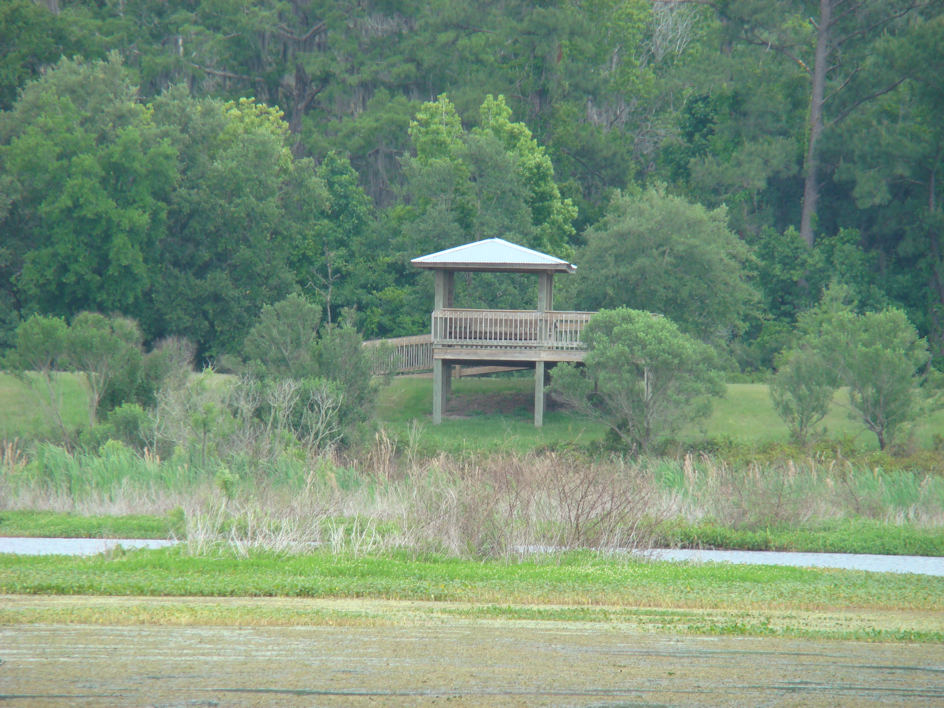
Viewing tower

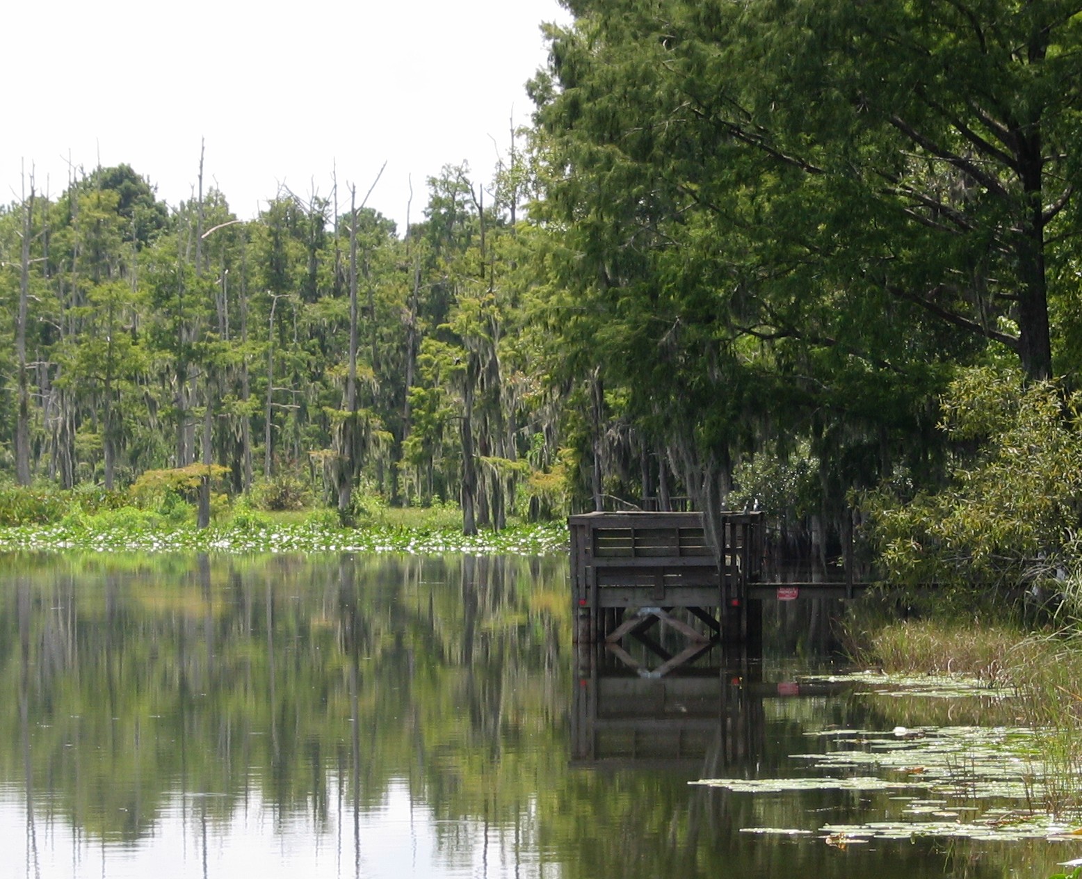
Pier extends over marsh
Tree at Sharp's Ferry
Sharp's Ferry Walk

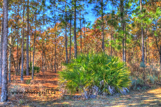
In the woods
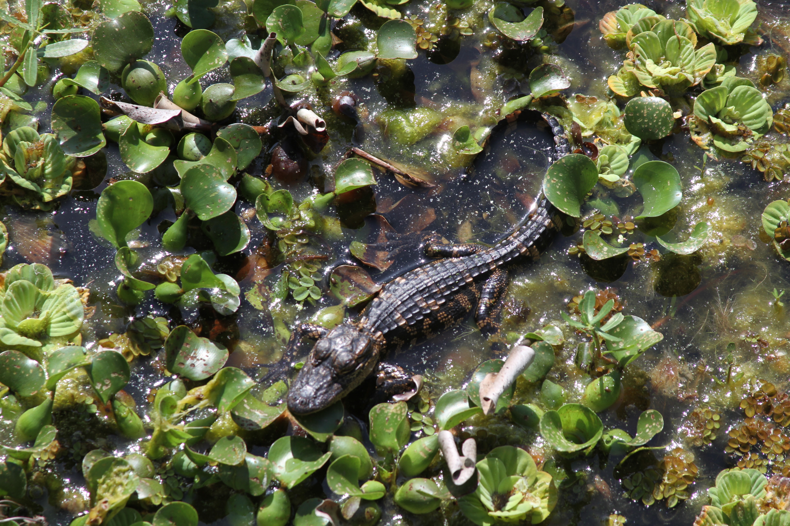
Baby alligator - about 1 foot long - best viewed large

Project 365- 50-365
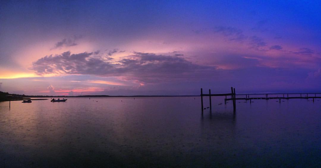
#tbt to last week at Lake Weir and a beautiful sunset. Ps guys did you know you can now post non-square pictures on IG? So cool!!
Juniper Springs, Ocala National Forest, Florida
Fla-6264_3_2_tonemapped

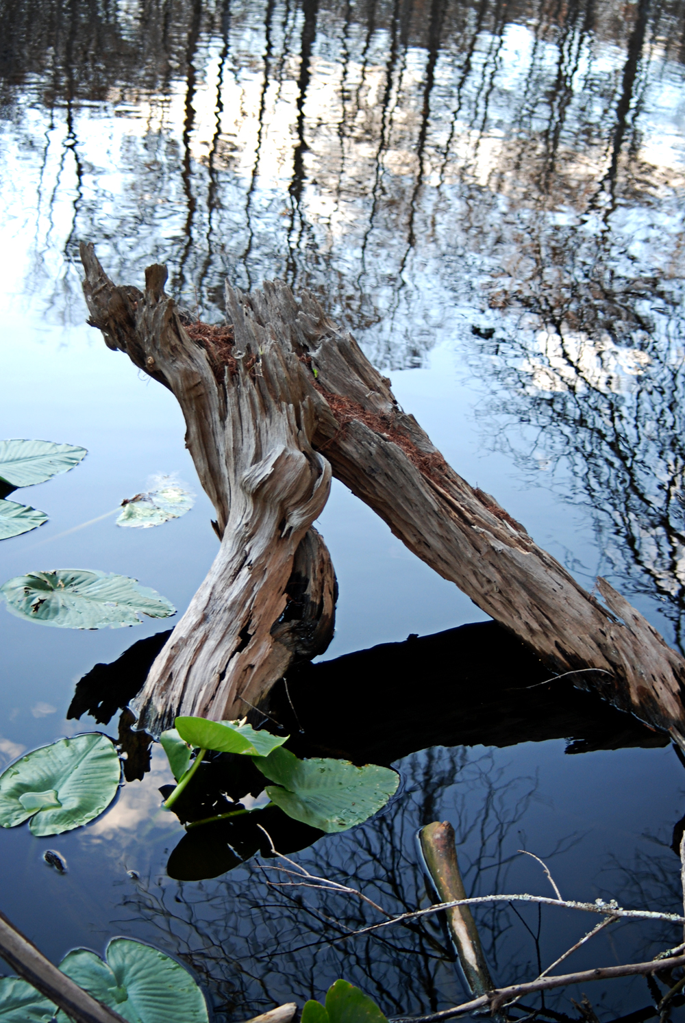
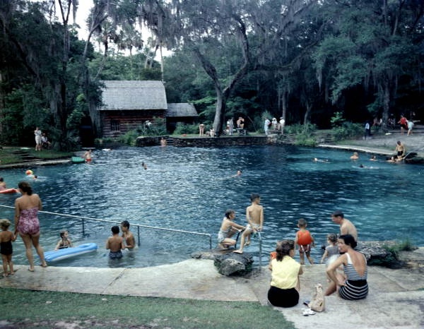
The Watering Hole
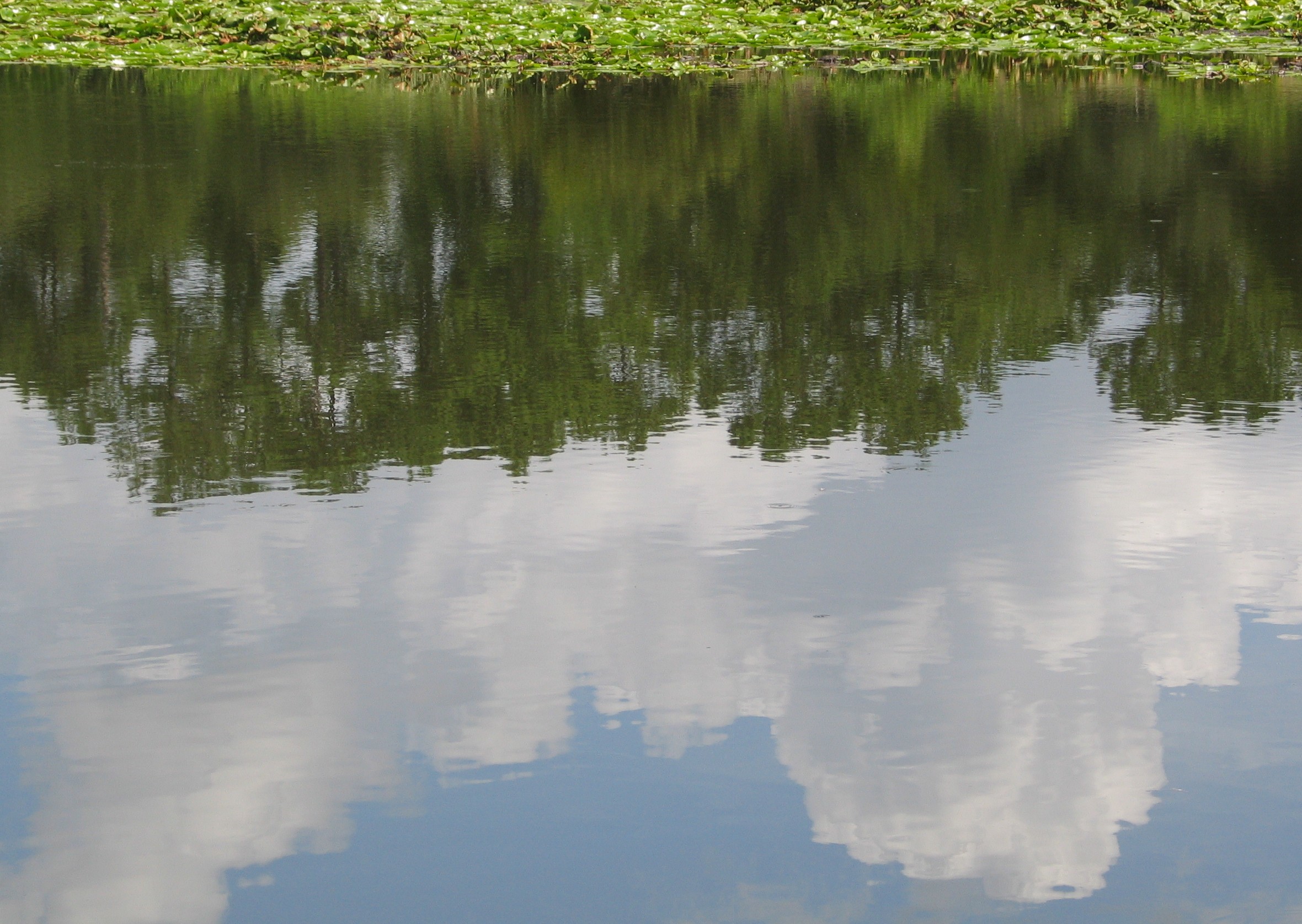
Eaton Lake

Marshall Swamp 19 Feb 2015 1

Lake Weir #florida #grey #gray #rain #blackandwhite #jj #minimal #ig #igers #landscape #land #air #water #iphonesia
Friends in town. Eating on the lake. #lakeweir #ocala #instaplace #instaplaceapp #instagood #travelgram #photooftheday #instamood #picoftheday #instadaily #photo #instacool #instapic #picture #pic @instaplaceapp #place #earth #world #unitedstates #ocklaw
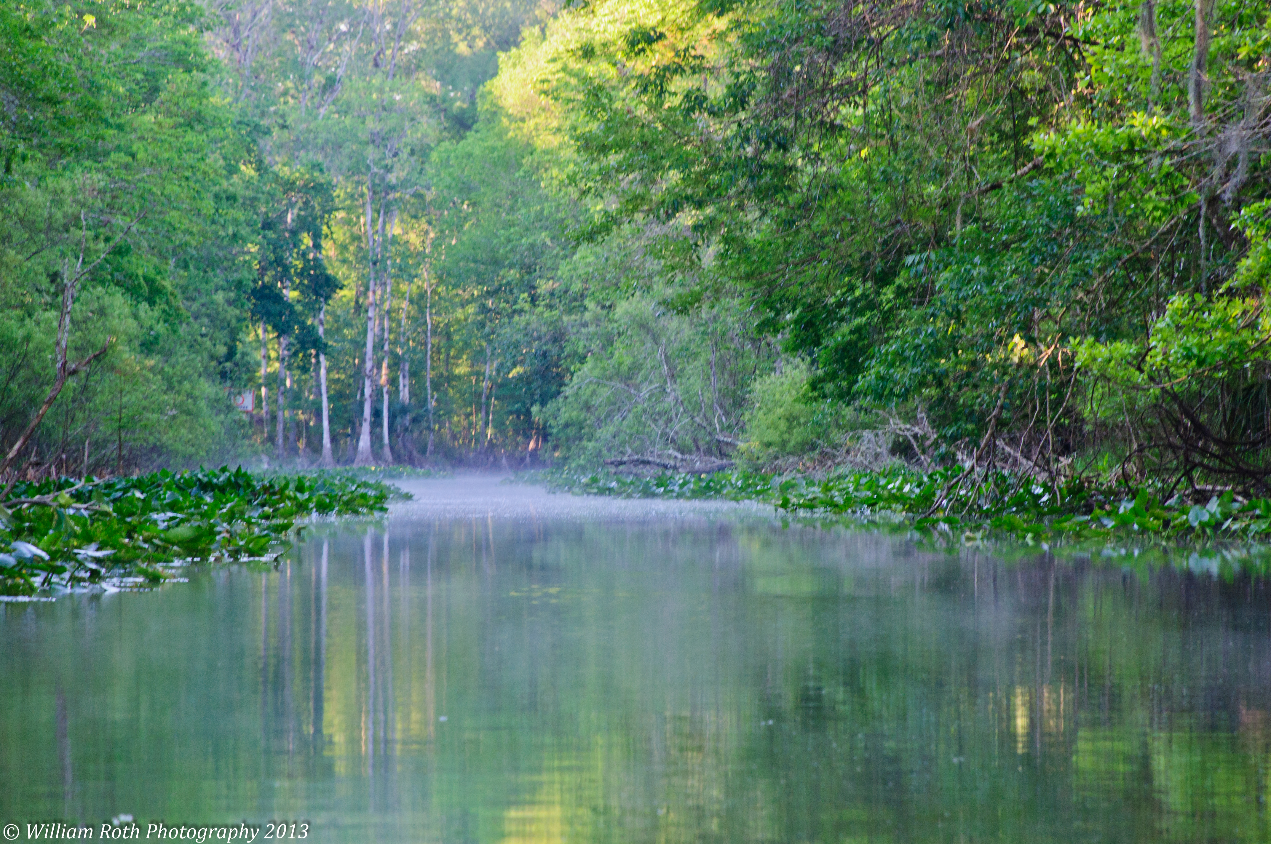
Swamp Sunrise

The Road Home

Carney Island - Florida

Marshall Swamp 19 Feb 2015 2
Moss Bluff 09
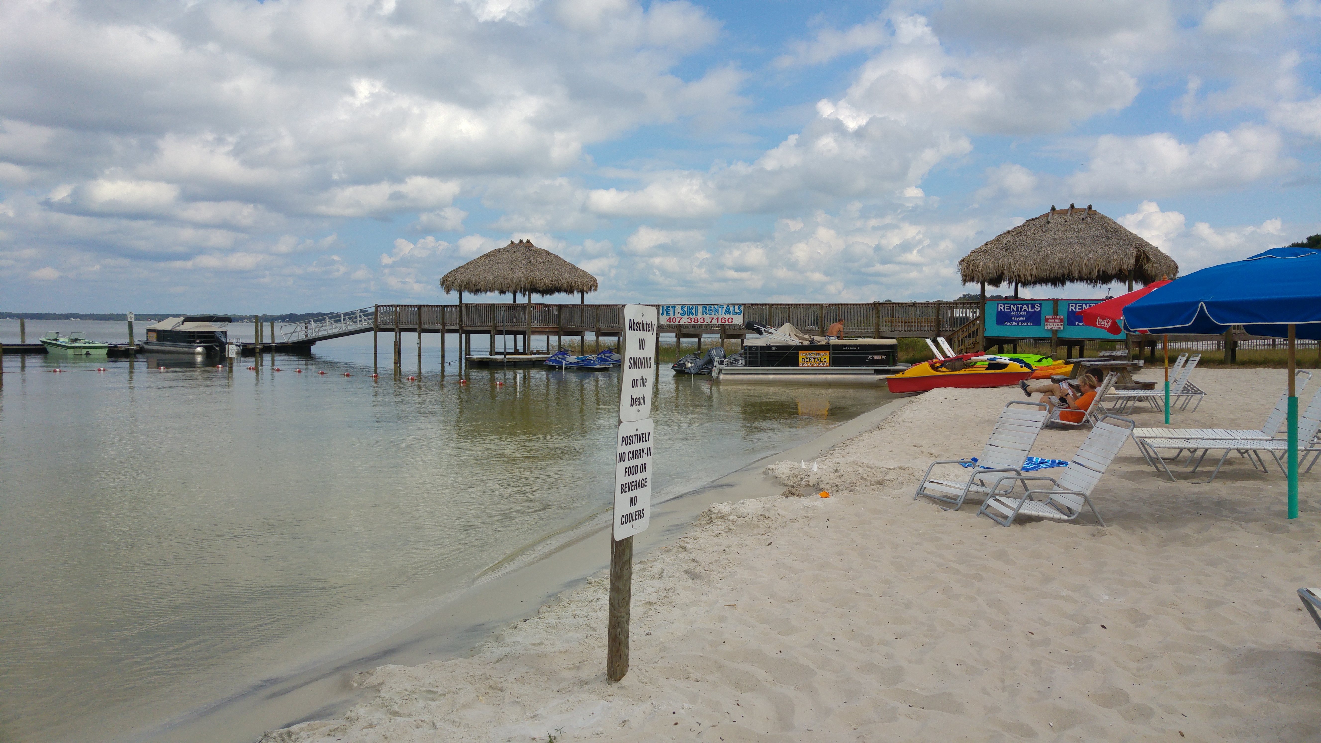
Eaton's Beach - Ocala. Florida
Moss Bluff 10
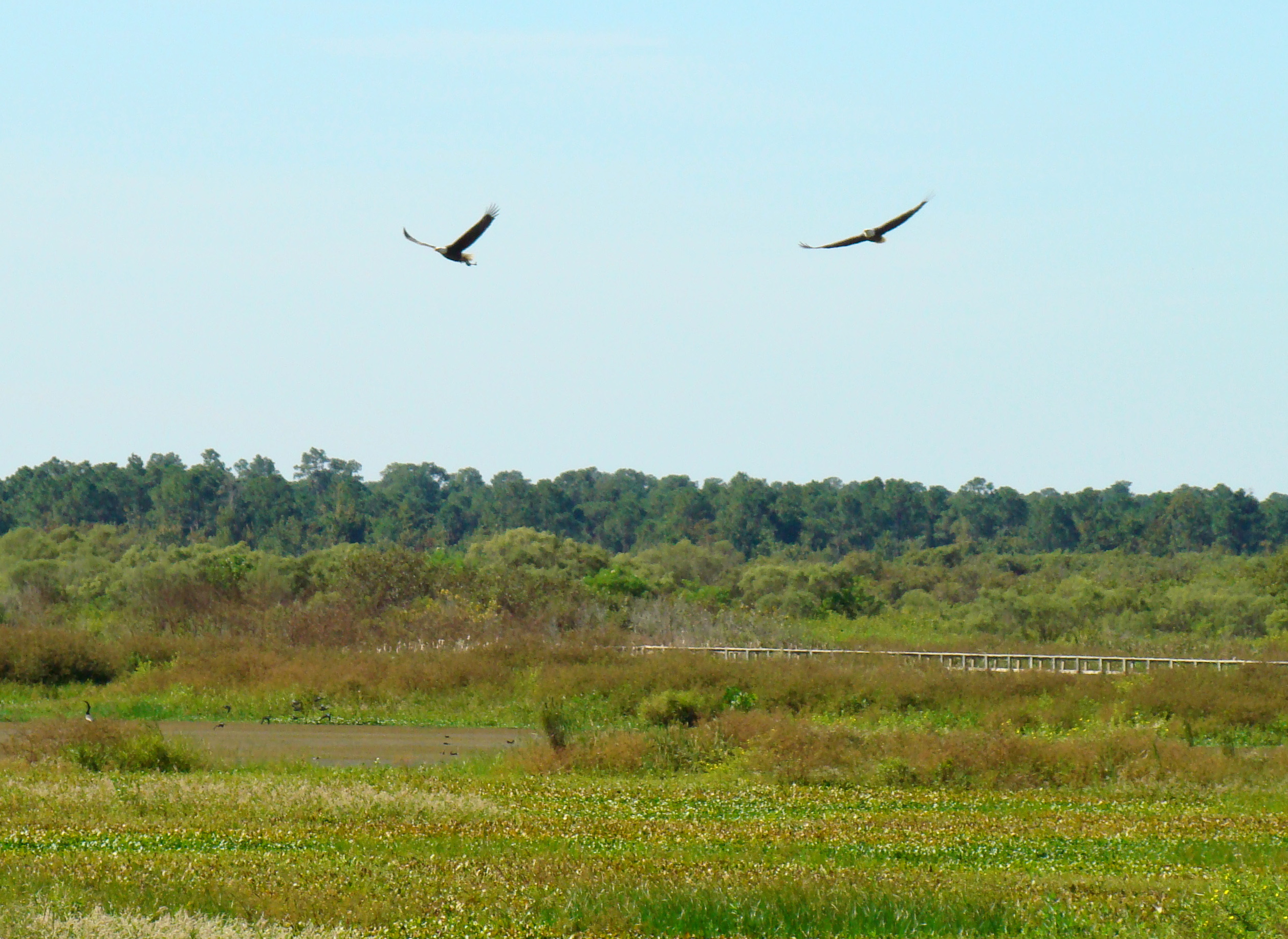
Pair of bald eagles over prairie
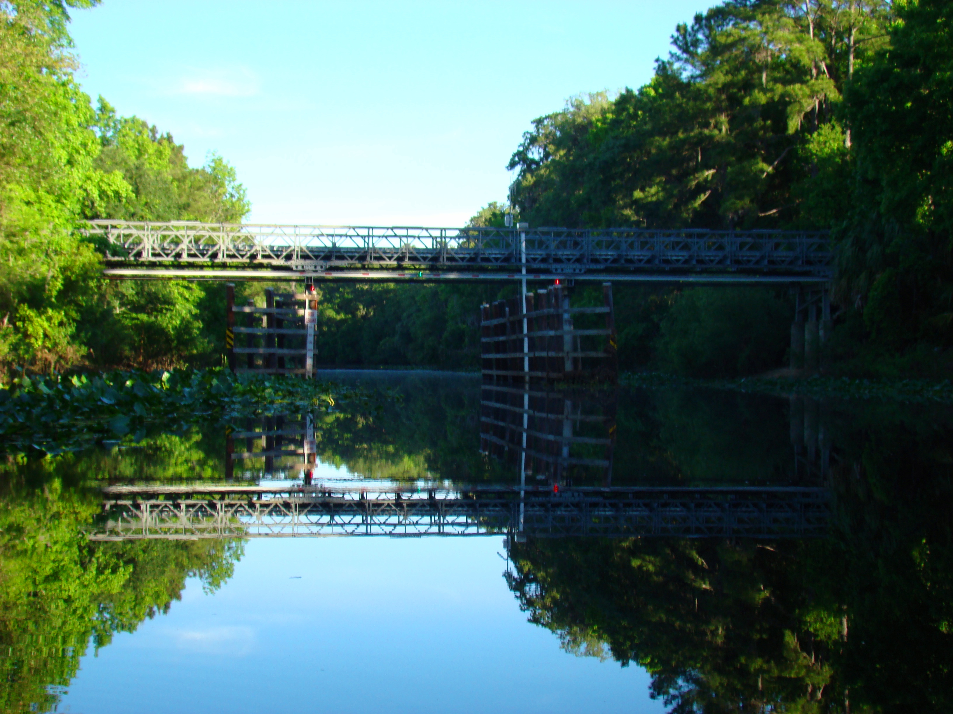
New bridge crossing the Ocklawaha River
Moss Bluff 08

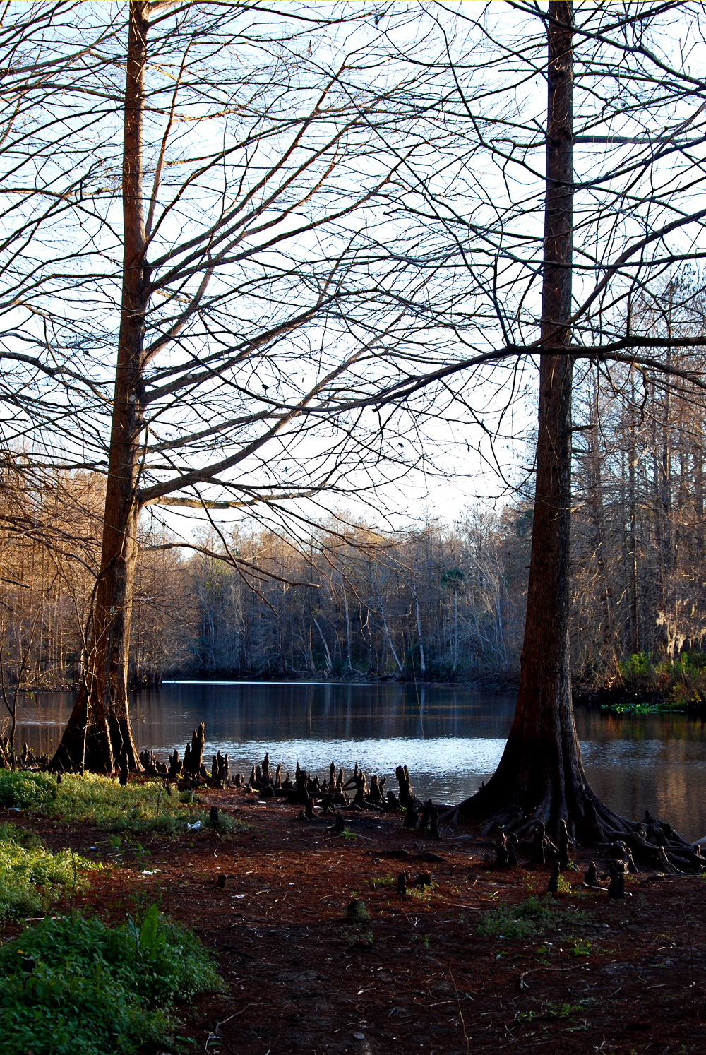
The Ocala Forest and the Ocklawaha River.
Canal from Ocklawaha Wayside Park
Topographic Map of SE th Ave, Ocklawaha, FL, USA
Find elevation by address:

Places near SE th Ave, Ocklawaha, FL, USA:
6490 Se 168th Ct
16656 Se 49th Street Rd
11950 Se 58th Pl
5960 Se 183rd Ct
18931 Se 54th Pl
16251 Se 27th Place Rd
3300 Se 183rd Avenue Rd
17845 Se 28th Pl
2400 Se 174th Ct
9487 Se 177th Ct
2140 Se 176th Ave
Oklawaha and Moss Bluff Hwy, Ocklawaha, FL, USA
State Highway 314a
17010 Se 95th Street Rd
18115 Se 95th Street Rd
18290 Se 21st Pl
1242 Se 163rd Avenue Rd
1145 Se 170th Ct
Sequoia Loop Drive
9286 Se 193rd Ave
Recent Searches:
- Elevation of Congressional Dr, Stevensville, MD, USA
- Elevation of Bellview Rd, McLean, VA, USA
- Elevation of Stage Island Rd, Chatham, MA, USA
- Elevation of Shibuya Scramble Crossing, 21 Udagawacho, Shibuya City, Tokyo -, Japan
- Elevation of Jadagoniai, Kaunas District Municipality, Lithuania
- Elevation of Pagonija rock, Kranto 7-oji g. 8"N, Kaunas, Lithuania
- Elevation of Co Rd 87, Jamestown, CO, USA
- Elevation of Tenjo, Cundinamarca, Colombia
- Elevation of Côte-des-Neiges, Montreal, QC H4A 3J6, Canada
- Elevation of Bobcat Dr, Helena, MT, USA