Elevation of Starnes Bluff Lane, Starnes Bluff Ln, Fort Blackmore, VA, USA
Location: United States > Virginia > Scott County > > Fort Blackmore >
Longitude: -82.617207
Latitude: 36.7462347
Elevation: 388m / 1273feet
Barometric Pressure: 97KPa
Elevation Map:
Satellite Map:
Related Photos:
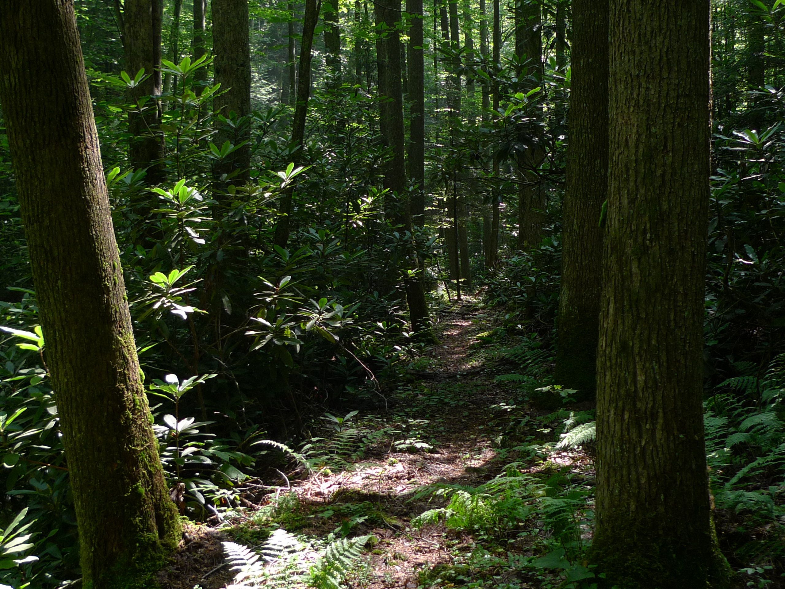
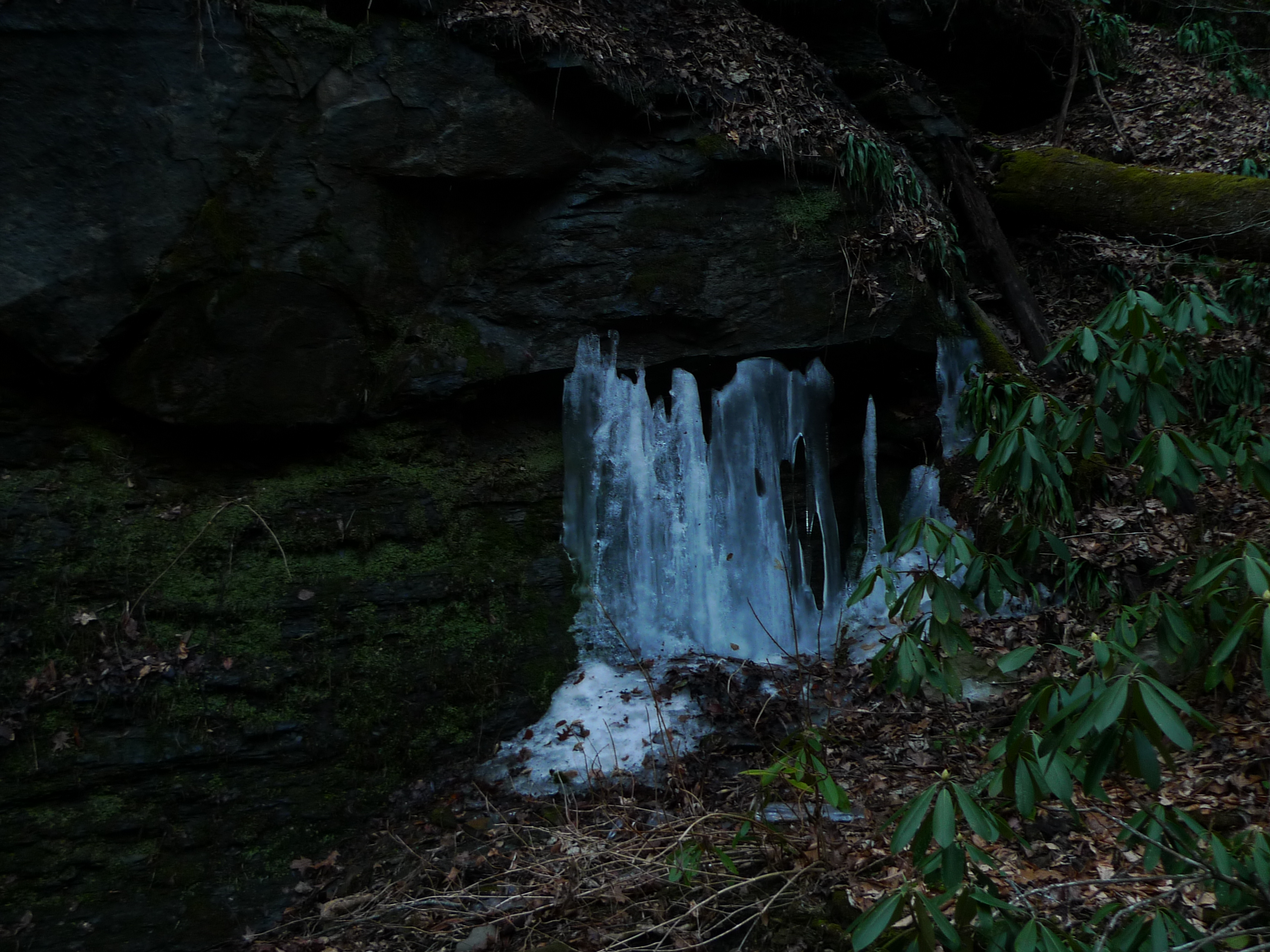
The Door's Open - Come On In
Up Close and Personal

: : My Virginia : : Grazing in the Grass
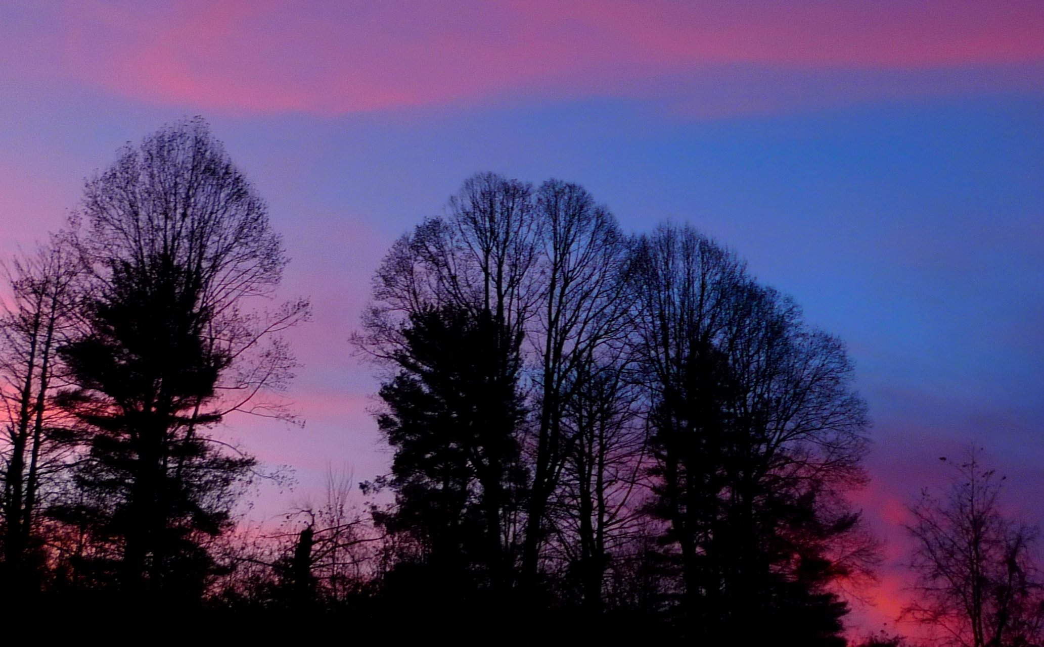
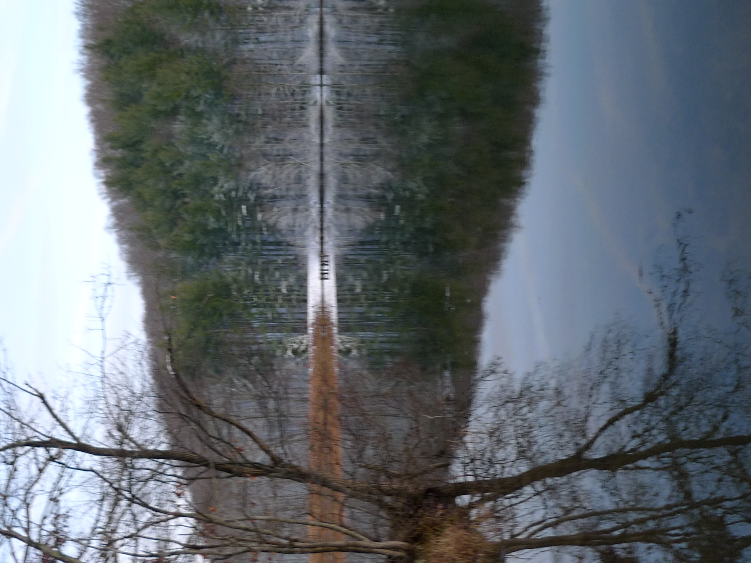
Sunset view

Looking Glass
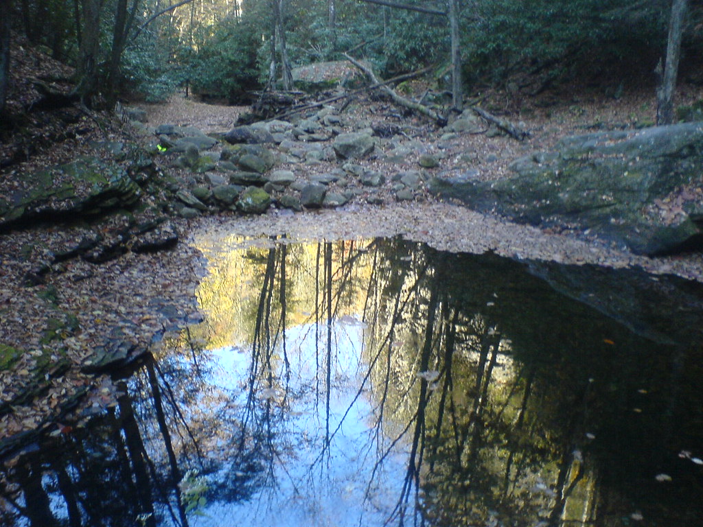
Stock Creek Interp

High Wire

Copper Creek Trestles
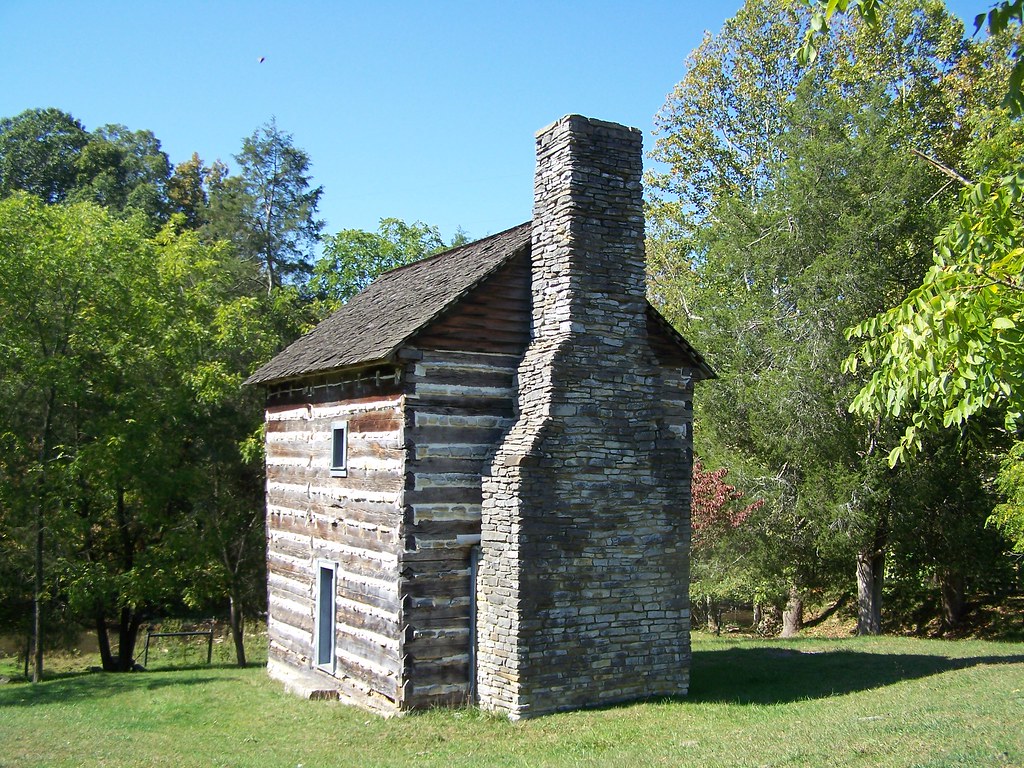
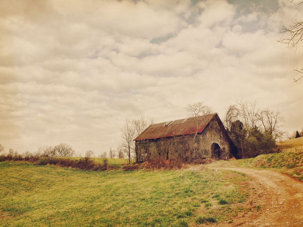
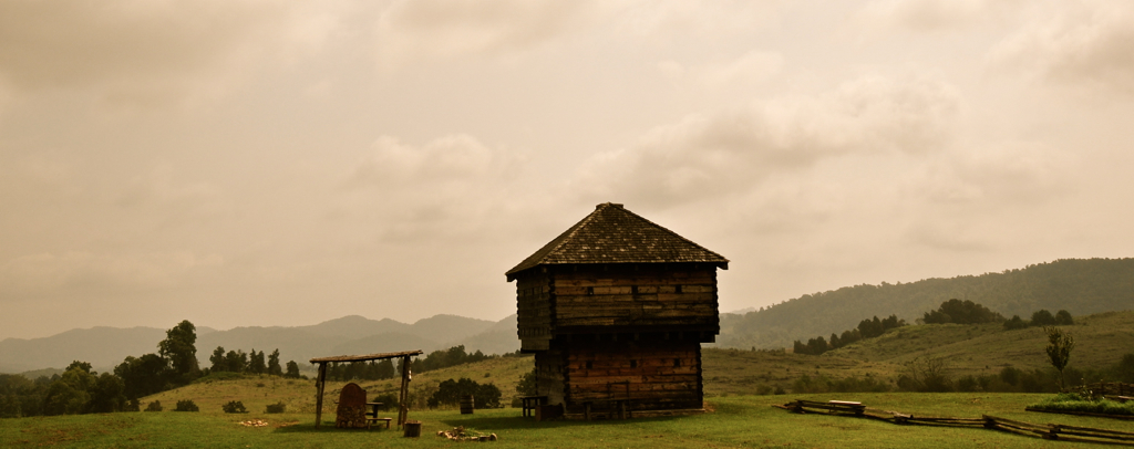
Kilgore Fort House

Baby and Giant

Clinchfield Railway
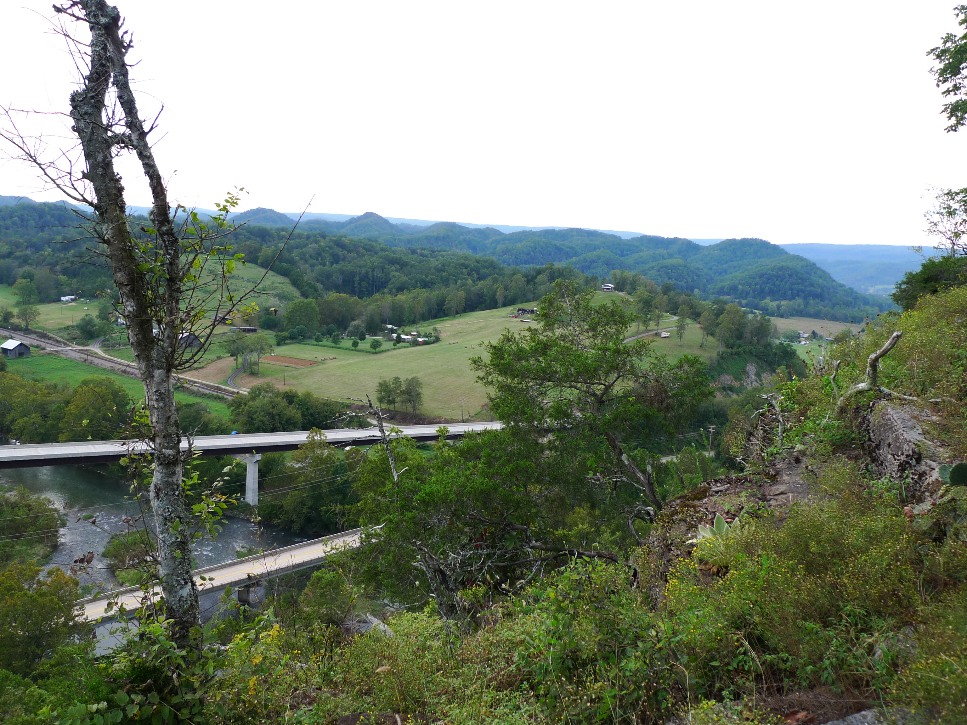
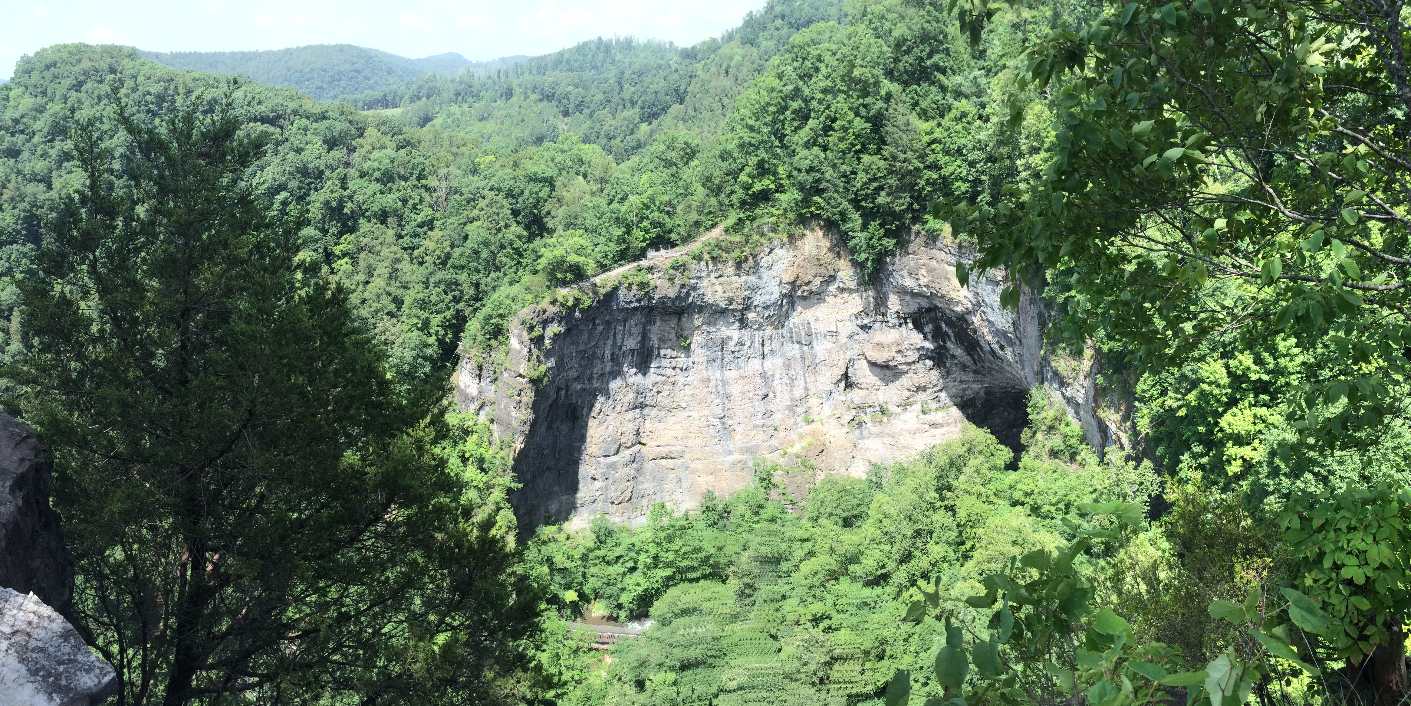
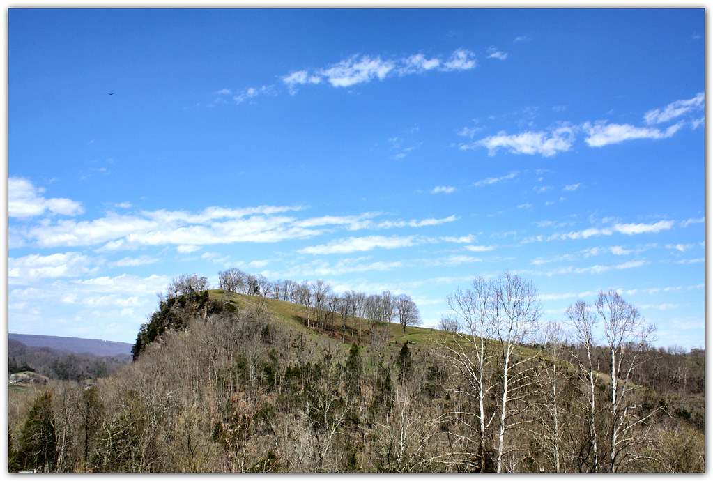
View from Cliff above the Clinch
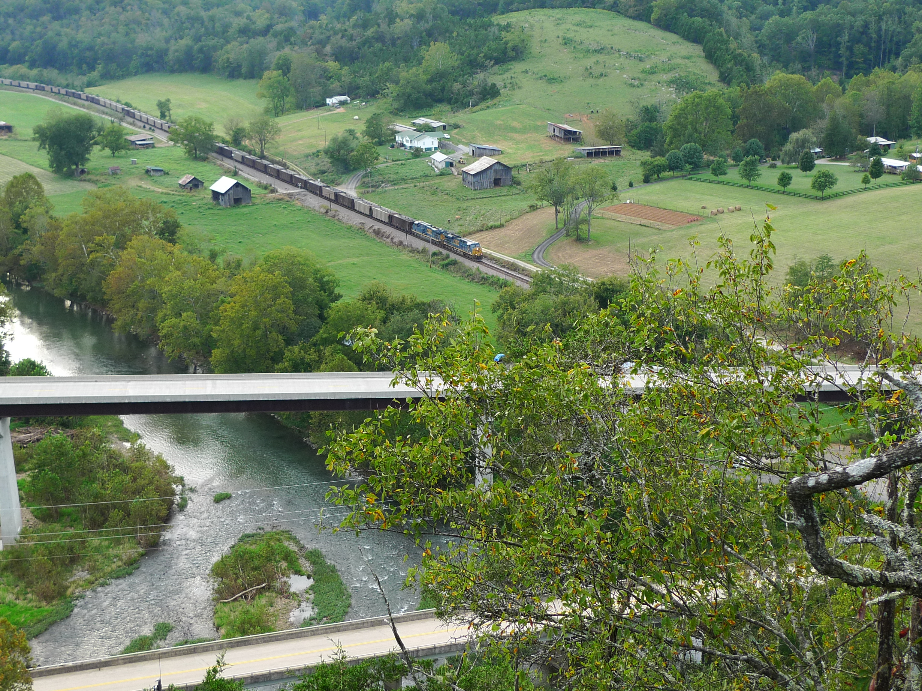
View from Cliff above the Clinch
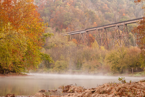
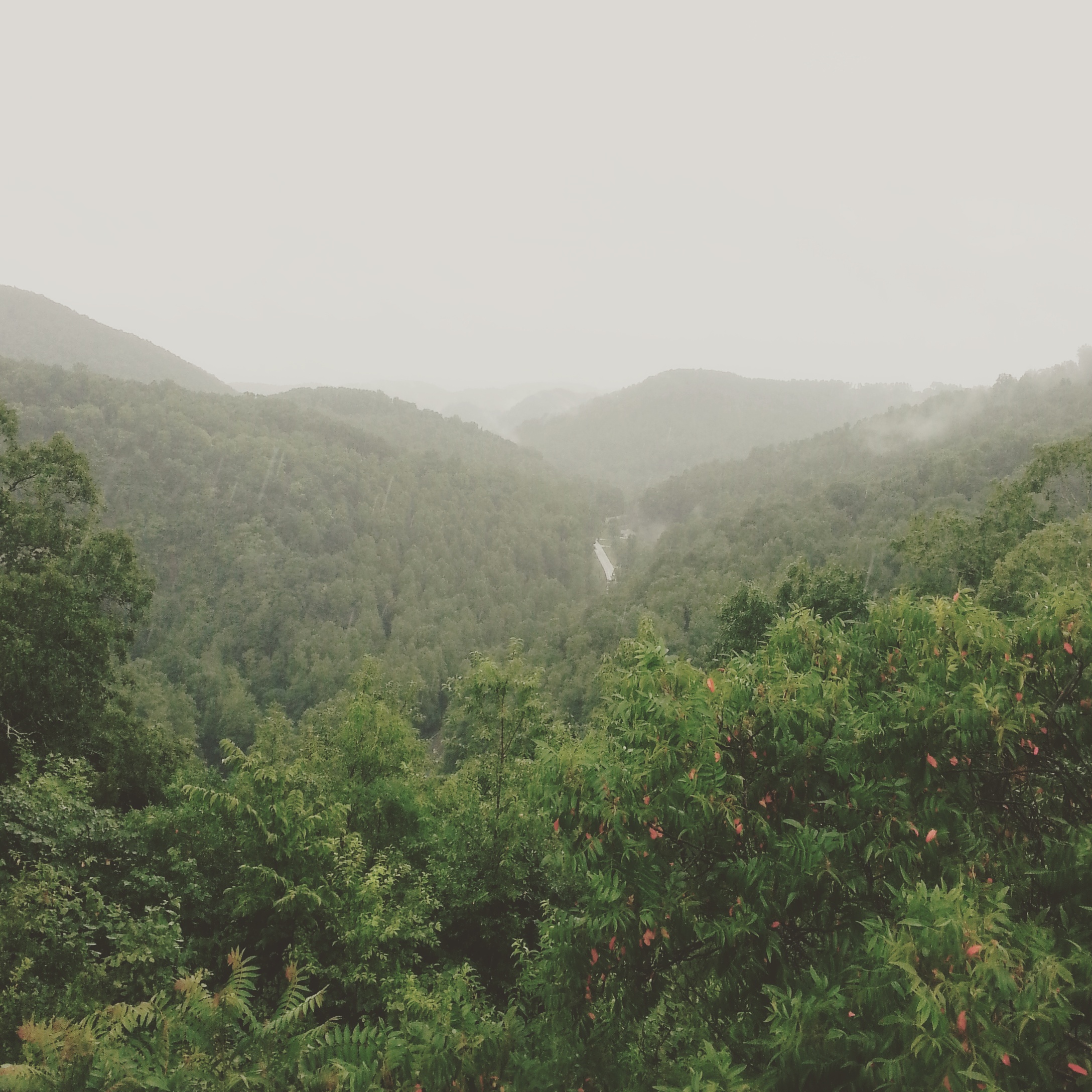
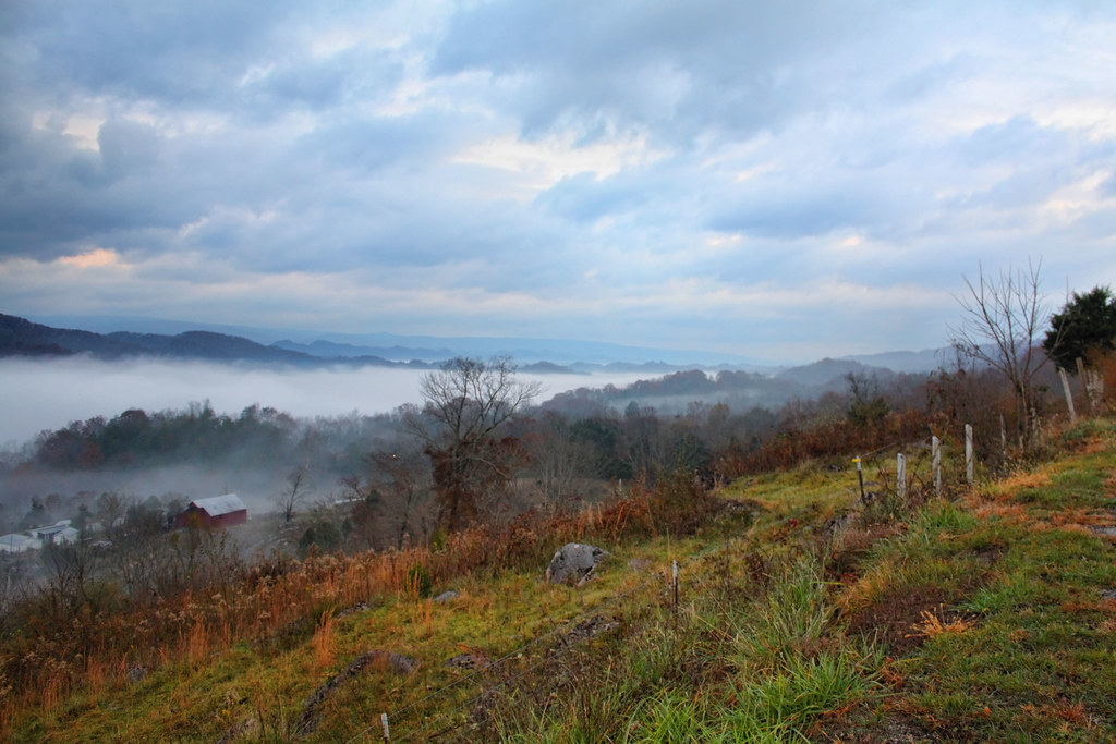
Autumn Fog on the Clinch
Natrual Tunnel Summer fun
View from Lovers Leap
Natural Tunnel State Park Hayride
View from back deck of Cove Ridge Center
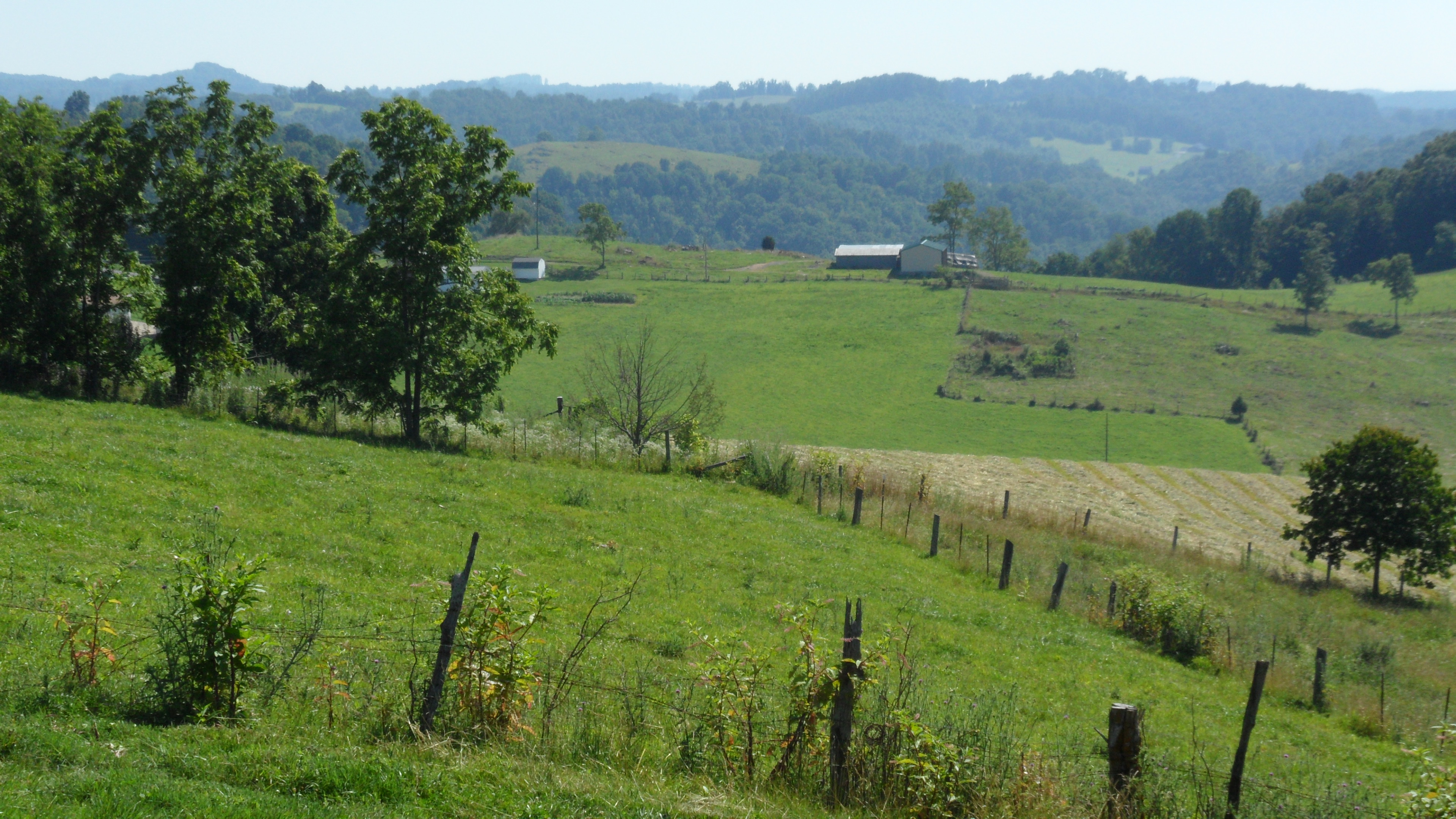
Clinch Valley
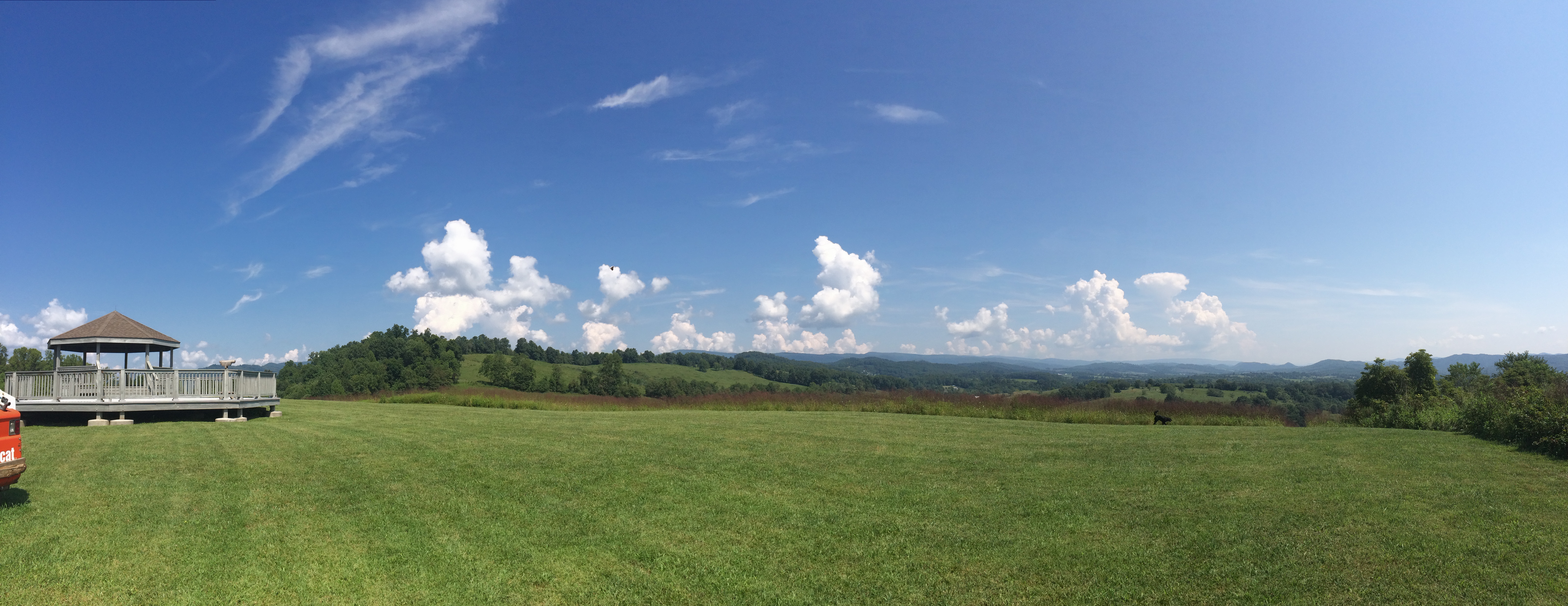
View to Forever

: : My Virginia : : I Can See For Miles
Turn Off the Paved Road

Moccasin Gap

The Norfolk Southern

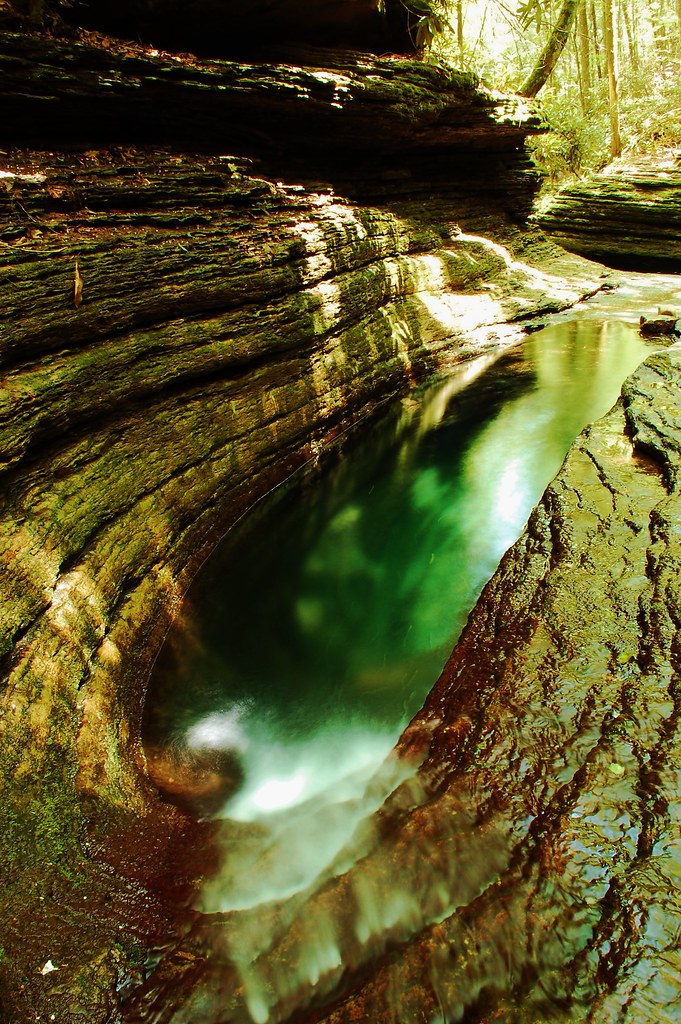
Devils Bathtub Lower Pool
Clinch River Bluff
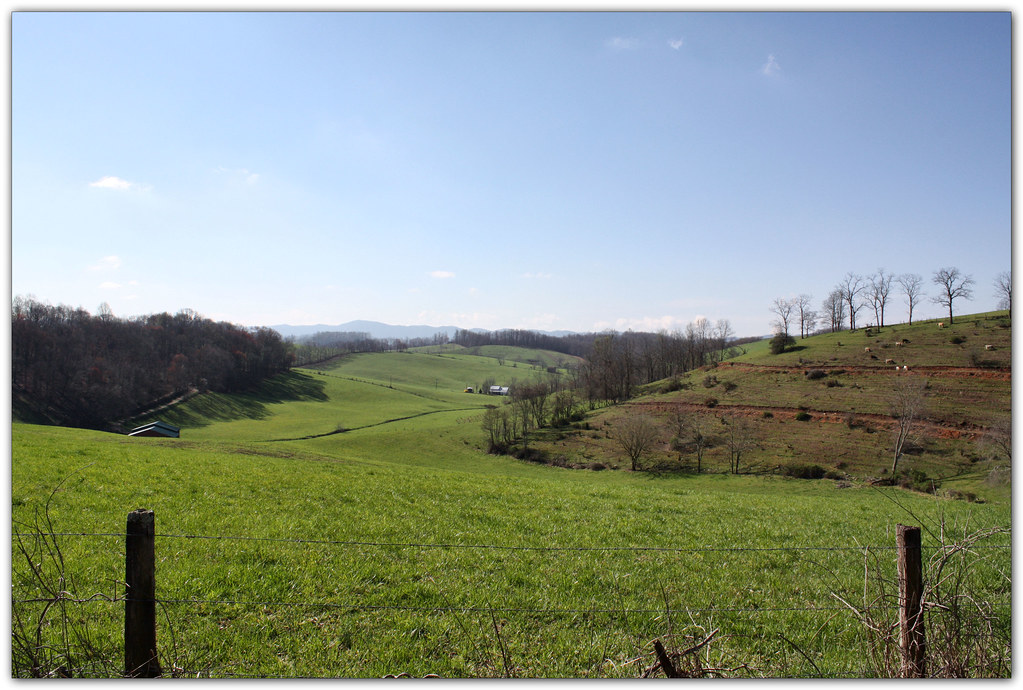
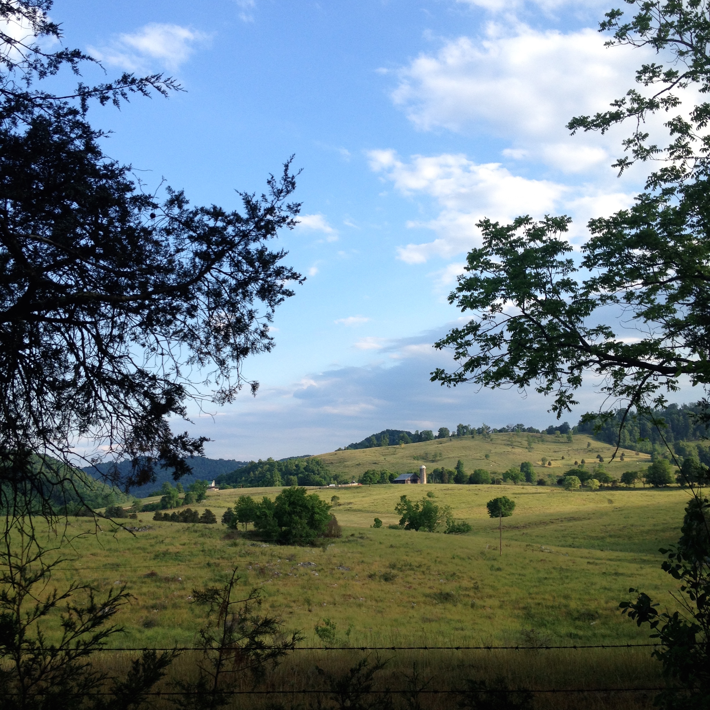
Green Pastures
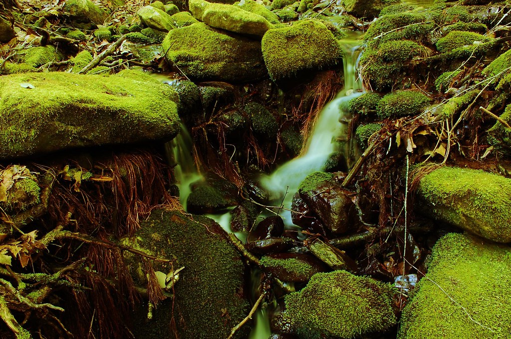
Devils Bathtub
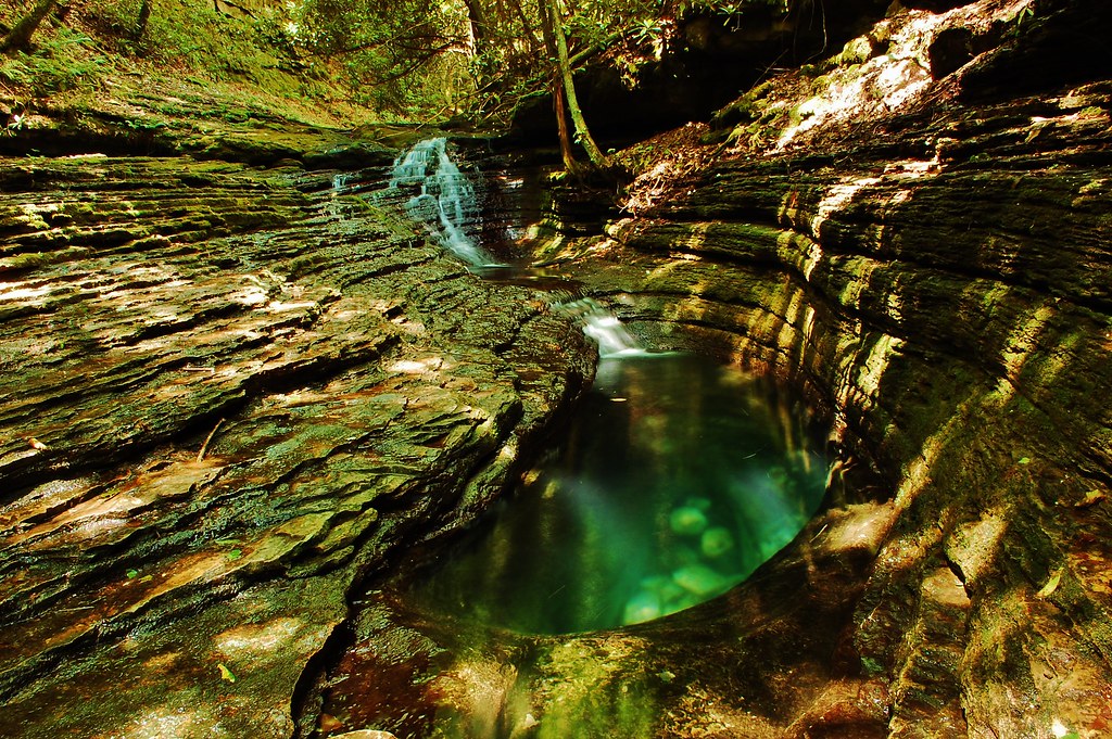
Devils Bathtub
Mcconnell, VA
Devils Bathtub
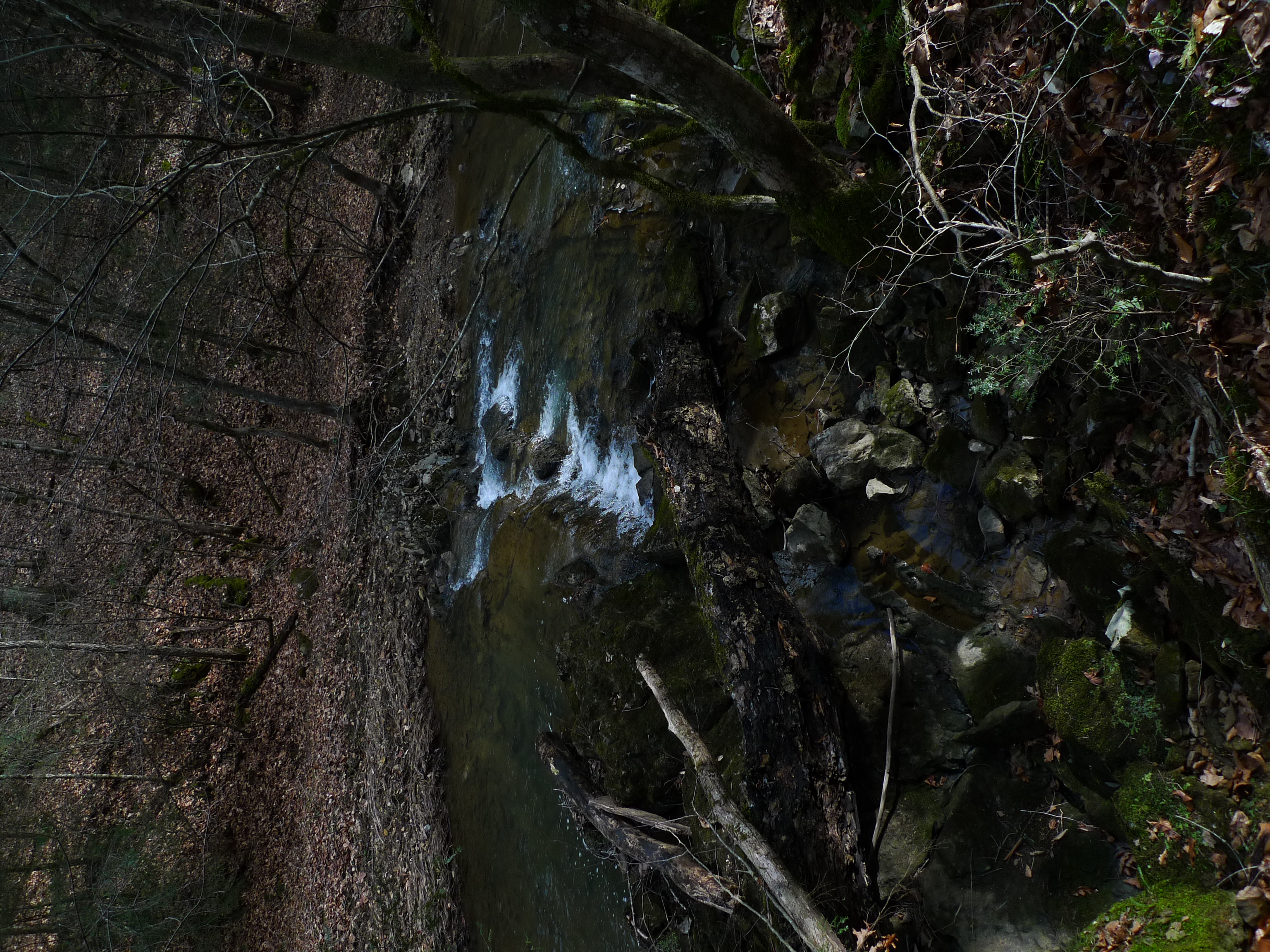
Staunton Creek
A few of 2014 iPhone pix
Devils Bathtub
Near MP 4 on CBST
Devils Bathtub
Bark Camp Lake

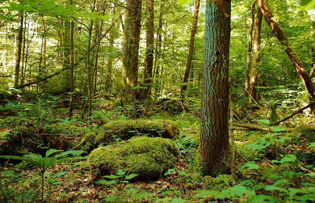
Copper Creek HDR

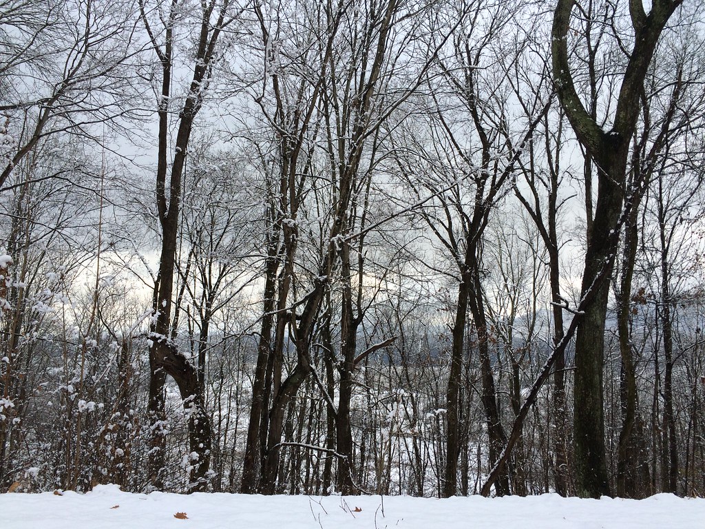
: : My Virginia : : Clinch Mountain in Winter
The edge of civilization
Cove Creek
Topographic Map of Starnes Bluff Lane, Starnes Bluff Ln, Fort Blackmore, VA, USA
Find elevation by address:

Places near Starnes Bluff Lane, Starnes Bluff Ln, Fort Blackmore, VA, USA:
Hunters Valley West Road
Hunters Valley West Road
218 Hollowview Dr
5, VA, USA
Wise St, Appalachia, VA, USA
157 Stream Side Dr
Stock Creek Way
Stock Creek Way
Cracker Neck
2044 Egan Rd
High Knob
High Knob Lookout Tower
Egan Road
Egan Road
237 Blackgum Ln
3, VA, USA
1116 Irondale Rd
Gibson Hill Road
4th Ave E, Big Stone Gap, VA, USA
Dogwood Drive
Recent Searches:
- Elevation of Vista Blvd, Sparks, NV, USA
- Elevation of 15th Ave SE, St. Petersburg, FL, USA
- Elevation of Beall Road, Beall Rd, Florida, USA
- Elevation of Leguwa, Nepal
- Elevation of County Rd, Enterprise, AL, USA
- Elevation of Kolchuginsky District, Vladimir Oblast, Russia
- Elevation of Shustino, Vladimir Oblast, Russia
- Elevation of Lampiasi St, Sarasota, FL, USA
- Elevation of Elwyn Dr, Roanoke Rapids, NC, USA
- Elevation of Congressional Dr, Stevensville, MD, USA