Elevation of Stanton County, KS, USA
Location: United States > Kansas >
Longitude: -101.79796
Latitude: 37.6390381
Elevation: 1023m / 3356feet
Barometric Pressure: 90KPa
Elevation Map:
Satellite Map:
Related Photos:

IMG_9162

IMG_9158

IMG_9152

IMG_9171

Johnson City, KS

Kansas funnel

Dots, KS #vsco

Developing storms near Plains, Kansas

High Plains Equipment

Flag and water tower

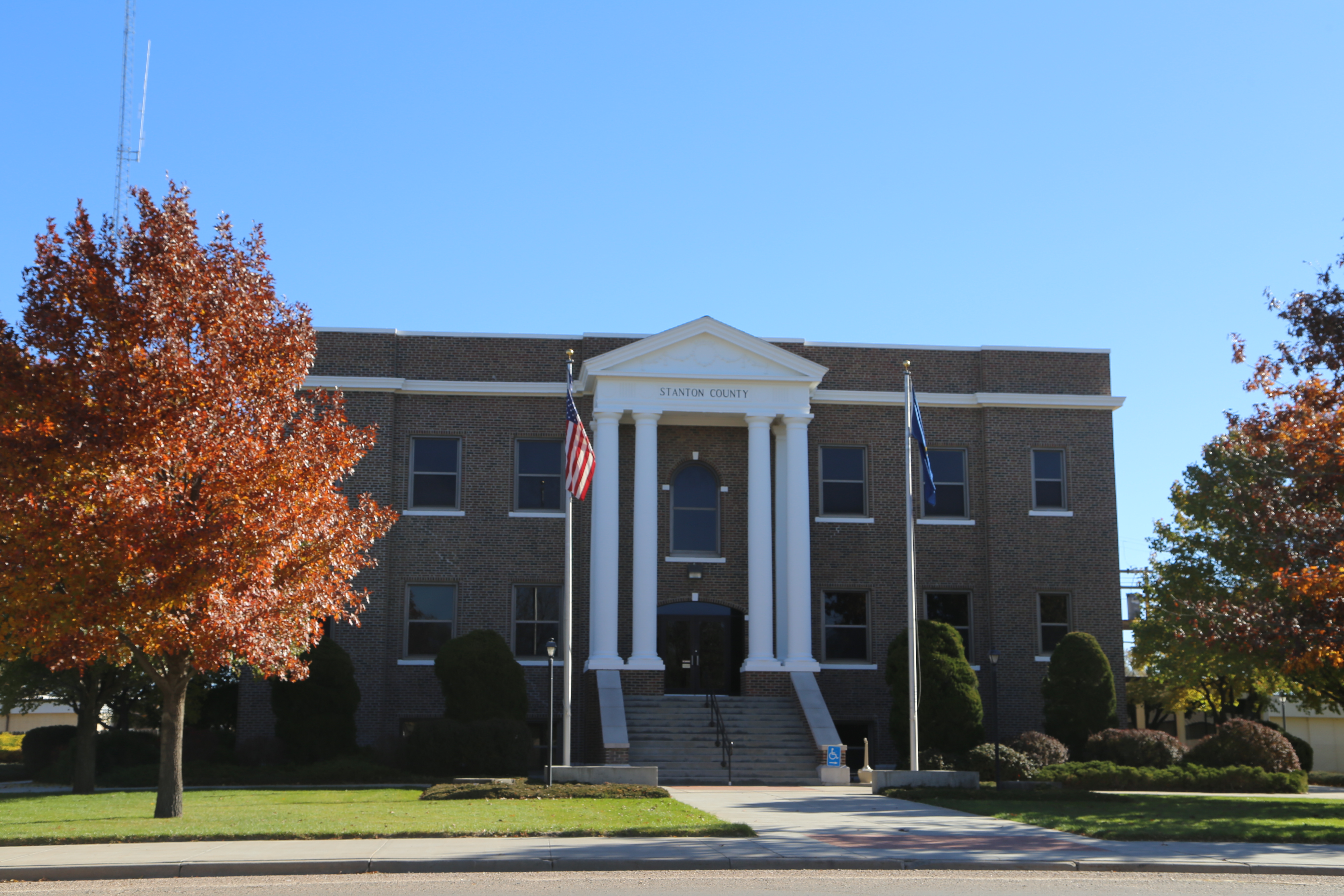
Stanton County (Kansas) courthouse

Blacksmith ghost in Johnson City

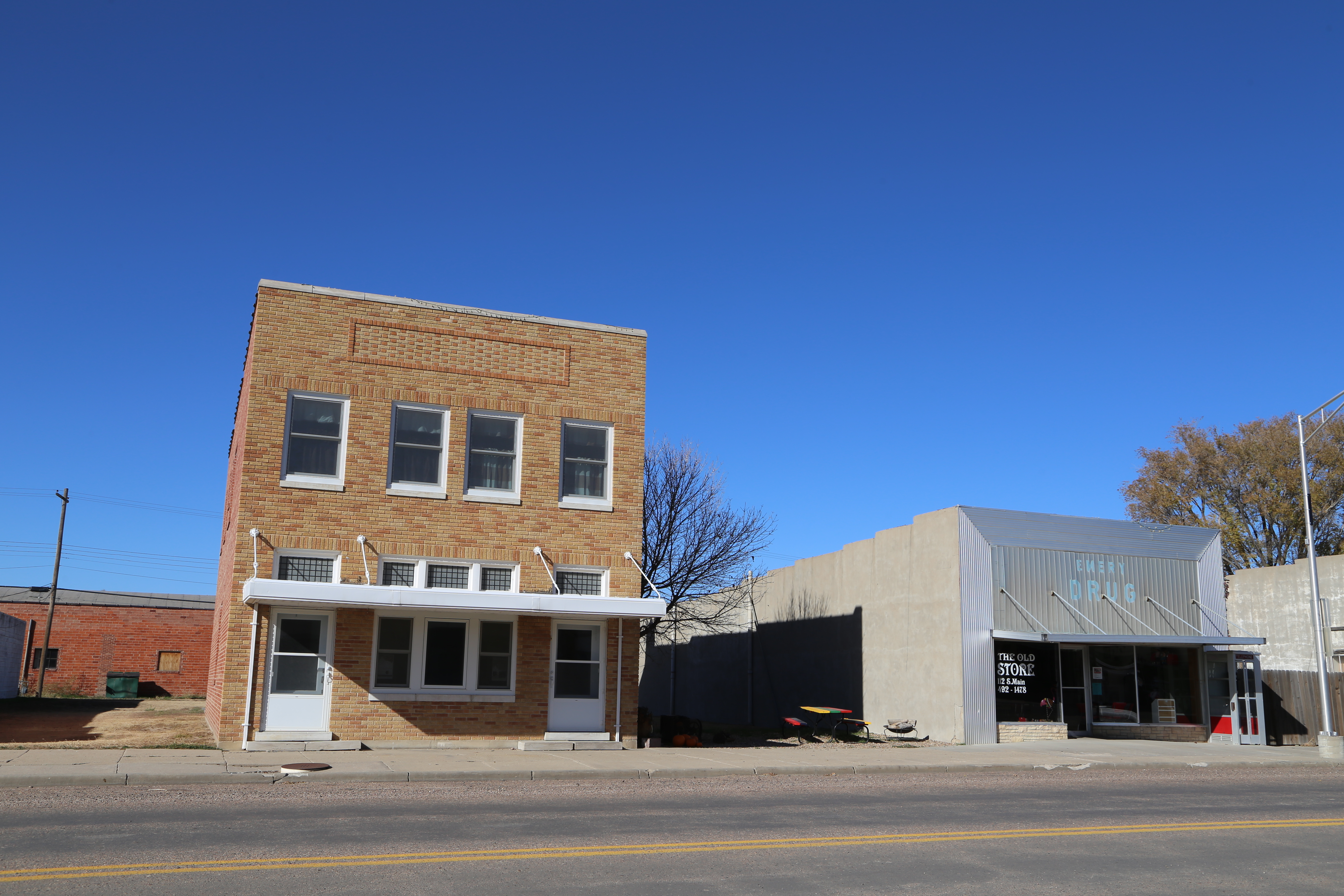
Manter Kansas, Stanton County KS

Manter Kansas, Stanton County KS

Manter Kansas, Post Office, 67862, Stanton County KS

Manter Kansas, Stanton County KS

Manter Kansas, Stanton County KS

Manter Kansas, Stanton County KS

Manter Kansas, Grain Elevator, Stanton County KS

Johnson Kansas, Stanton County KS

Johnson Kansas, Stanton County KS

Johnson Kansas, Stanton County KS
Johnson Kansas, Stanton County KS
Johnson Kansas, County Courthouse, Stanton County KS

Johnson Kansas, Stanton County KS
Topographic Map of Stanton County, KS, USA
Find elevation by address:

Places in Stanton County, KS, USA:
Places near Stanton County, KS, USA:
Manter
Manter
Saunders
Syracuse
Ulysses
N Missouri St, Ulysses, KS, USA
Prowers County
Morton County
Lincoln
Co Rd 49, Walsh, CO, USA
Walsh
Ulysses, KS, USA
Grant County
Taloga
Main St, Two Buttes, CO, USA
Two Buttes
Lakin
Elkhart
Hugoton
Stevens County
Recent Searches:
- Elevation of Beall Road, Beall Rd, Florida, USA
- Elevation of Leguwa, Nepal
- Elevation of County Rd, Enterprise, AL, USA
- Elevation of Kolchuginsky District, Vladimir Oblast, Russia
- Elevation of Shustino, Vladimir Oblast, Russia
- Elevation of Lampiasi St, Sarasota, FL, USA
- Elevation of Elwyn Dr, Roanoke Rapids, NC, USA
- Elevation of Congressional Dr, Stevensville, MD, USA
- Elevation of Bellview Rd, McLean, VA, USA
- Elevation of Stage Island Rd, Chatham, MA, USA