Elevation of Morton County, KS, USA
Location: United States > Kansas >
Longitude: -101.79796
Latitude: 37.1333387
Elevation: 1033m / 3389feet
Barometric Pressure: 90KPa
Elevation Map:
Satellite Map:
Related Photos:

Old Morton County Courthouse (Richfield, Kansas)
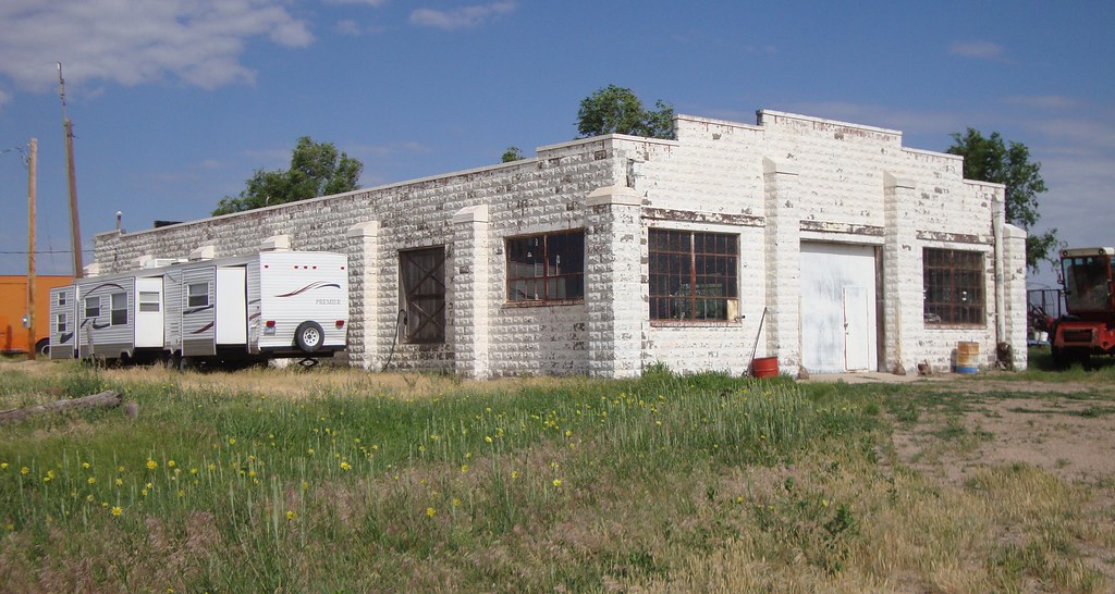
Old Morton County Courthouse (Richfield, Kansas)

Rainbow Grasshopper

Old Morton County Courthouse (Richfield, Kansas)

Old Morton County Courthouse (Richfield, Kansas)
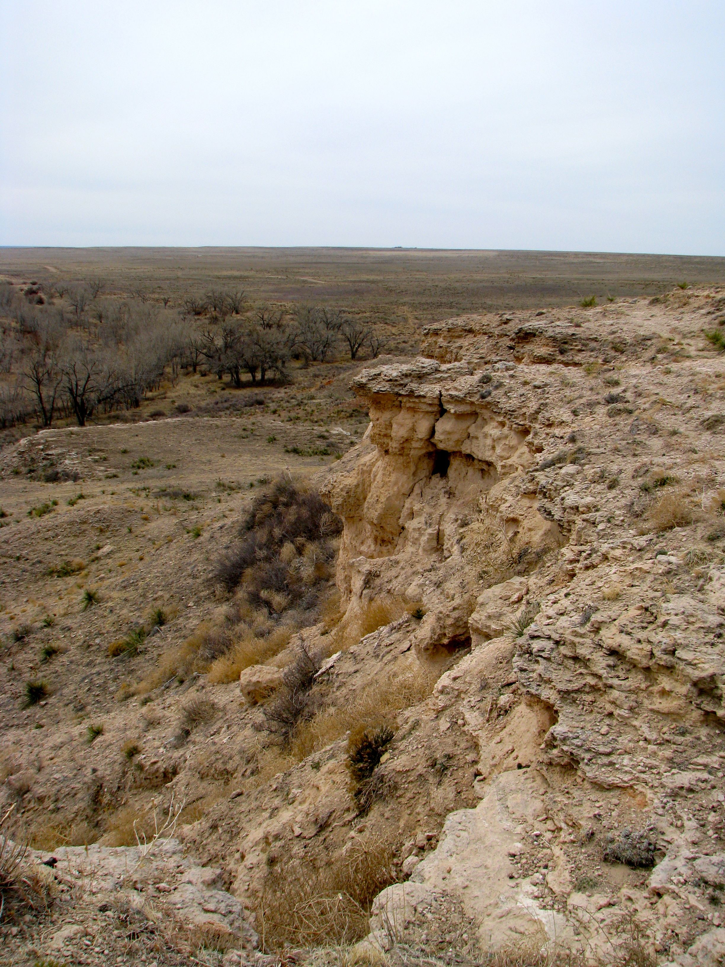
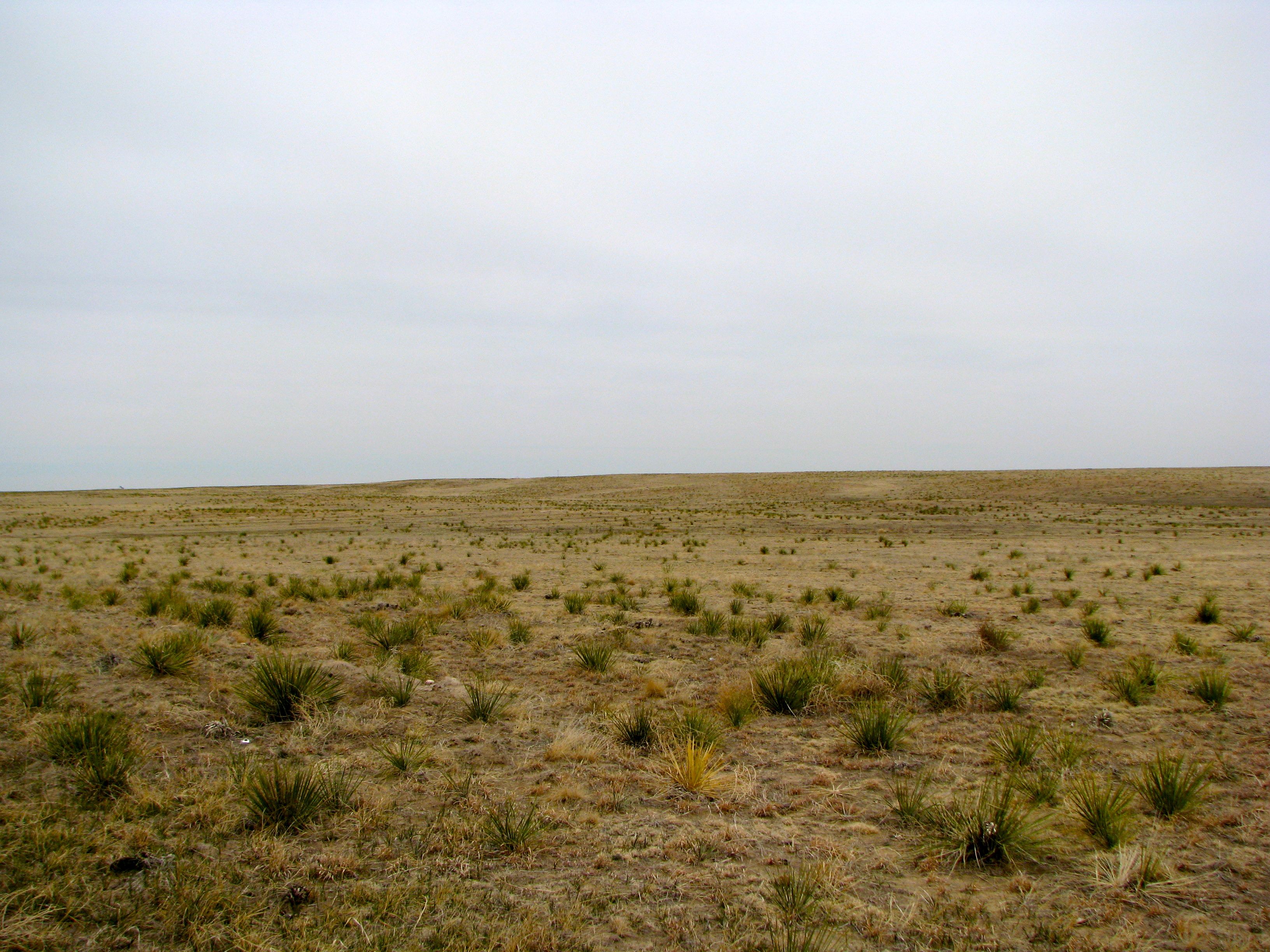
Santa Fe Trail, Point of Rocks
Santa Fe Trail, Point of Rocks

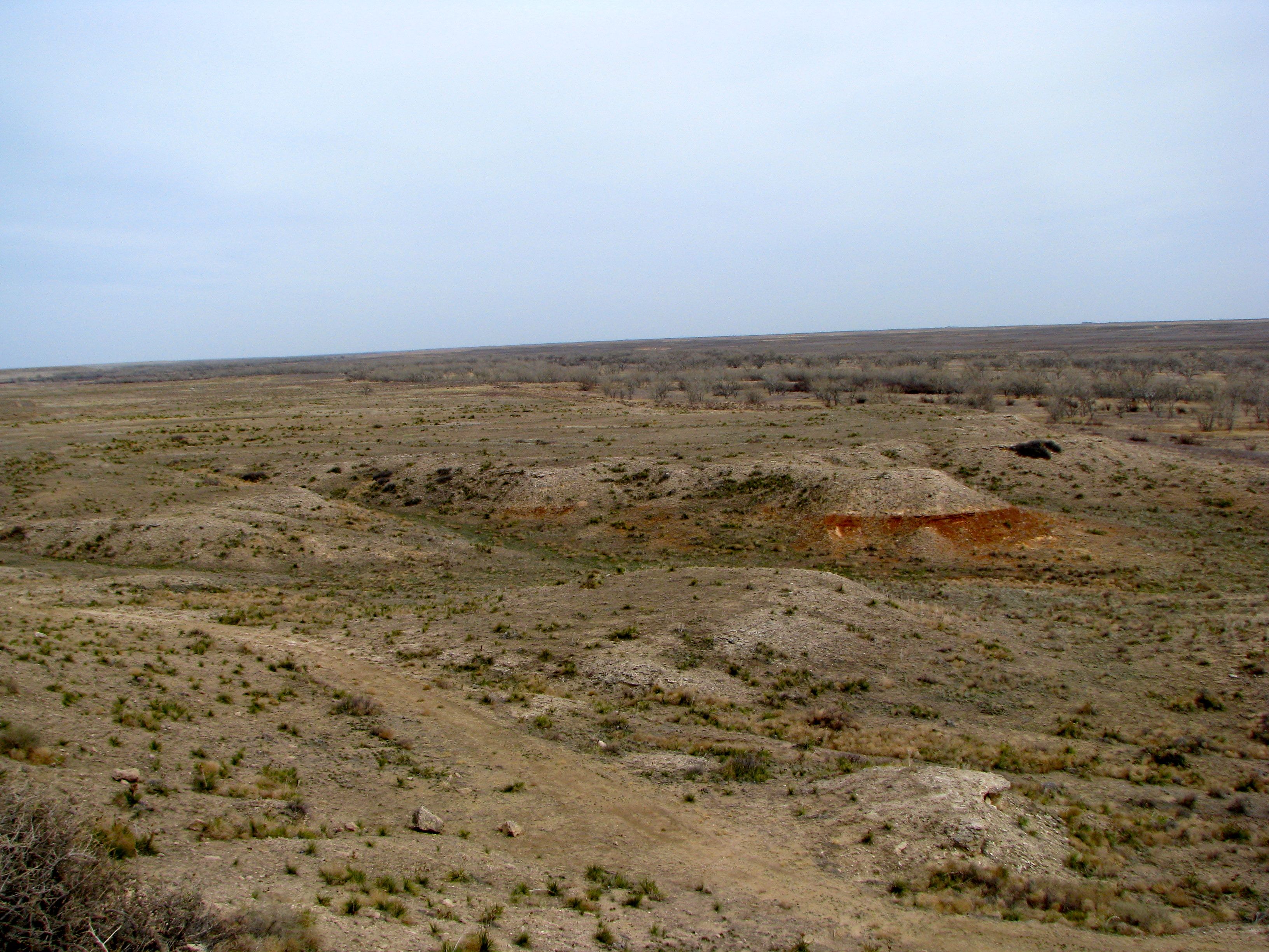
Everyday for 7 Weeks - Day 46 - Manitou Springs to Garden City
Everyday for 7 Weeks - Day 46 - Manitou Springs to Garden City
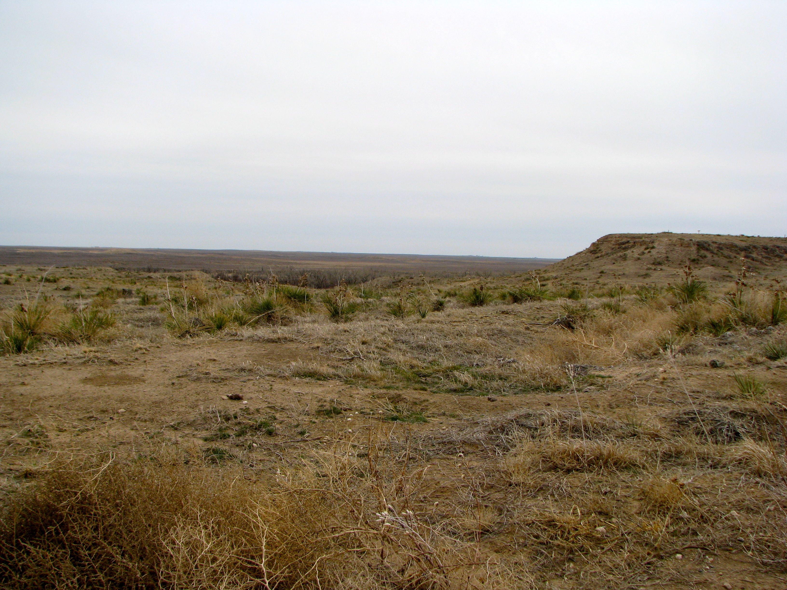
Santa Fe Trail, Point of Rocks

Rolla, KS
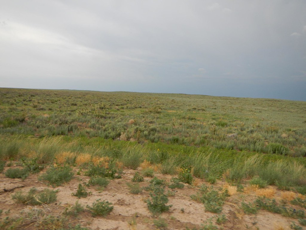
Santa Fe Trail, Cimarron Route
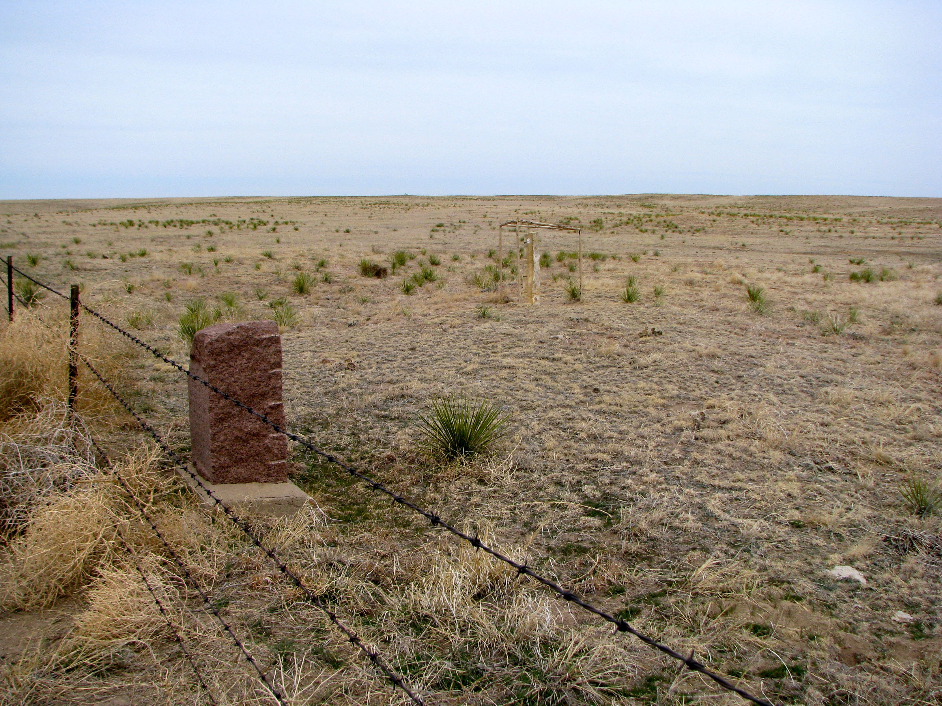
Santa Fe Trail, Cimarron Route
Topographic Map of Morton County, KS, USA
Find elevation by address:

Places in Morton County, KS, USA:
Places near Morton County, KS, USA:
Taloga
Elkhart
Manter
Saunders
Co Rd 49, Walsh, CO, USA
Hugoton
Manter
Texas County
Stanton County
Walsh
Stevens County
Guymon
Goodwell
Main St, Goodwell, OK, USA
Optima
Ulysses
N Missouri St, Ulysses, KS, USA
Lincoln
Ulysses, KS, USA
Grant County
Recent Searches:
- Elevation of Felindre, Swansea SA5 7LU, UK
- Elevation of Leyte Industrial Development Estate, Isabel, Leyte, Philippines
- Elevation of W Granada St, Tampa, FL, USA
- Elevation of Pykes Down, Ivybridge PL21 0BY, UK
- Elevation of Jalan Senandin, Lutong, Miri, Sarawak, Malaysia
- Elevation of Bilohirs'k
- Elevation of 30 Oak Lawn Dr, Barkhamsted, CT, USA
- Elevation of Luther Road, Luther Rd, Auburn, CA, USA
- Elevation of Unnamed Road, Respublika Severnaya Osetiya — Alaniya, Russia
- Elevation of Verkhny Fiagdon, North Ossetia–Alania Republic, Russia