Elevation of Stannington Rd, Sheffield S6 6AF, UK
Location: United Kingdom > England > South Yorkshire > Sheffield District > Sheffield > Stannington >
Longitude: -1.5387521
Latitude: 53.3931559
Elevation: 216m / 709feet
Barometric Pressure: 99KPa
Elevation Map:
Satellite Map:
Related Photos:
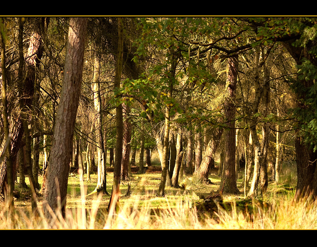
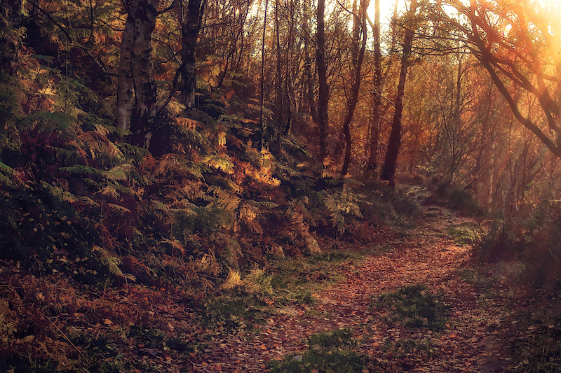
Into the woods!
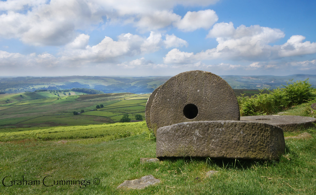
Millstones on the Peak
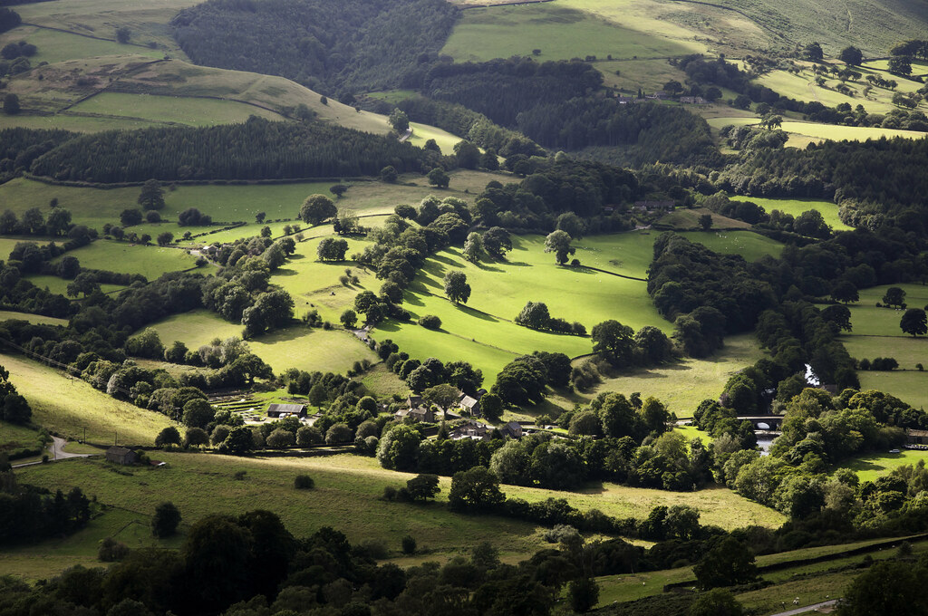
Grindleford in sunlight
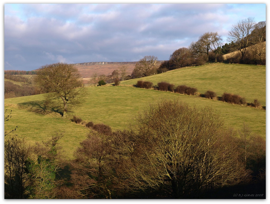
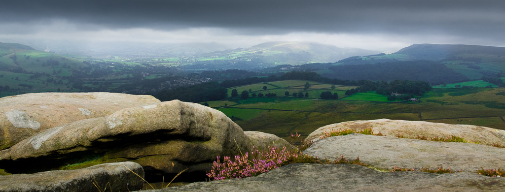
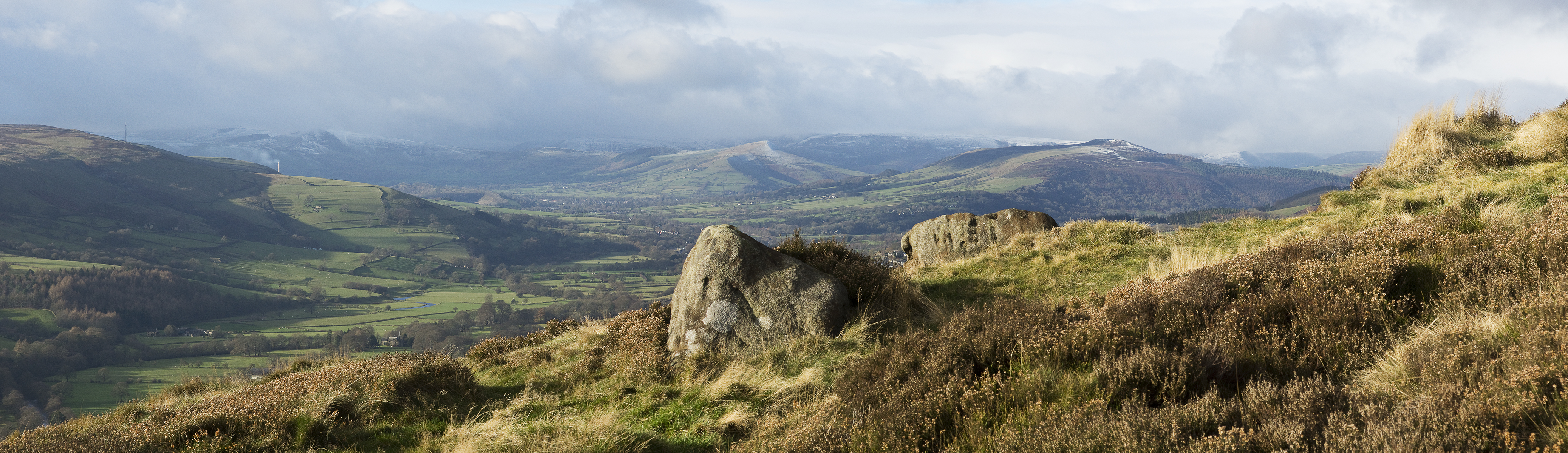
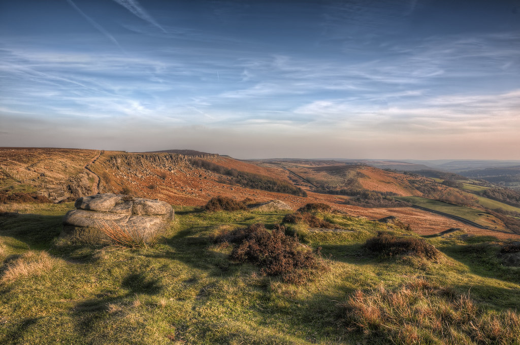
View to the edge

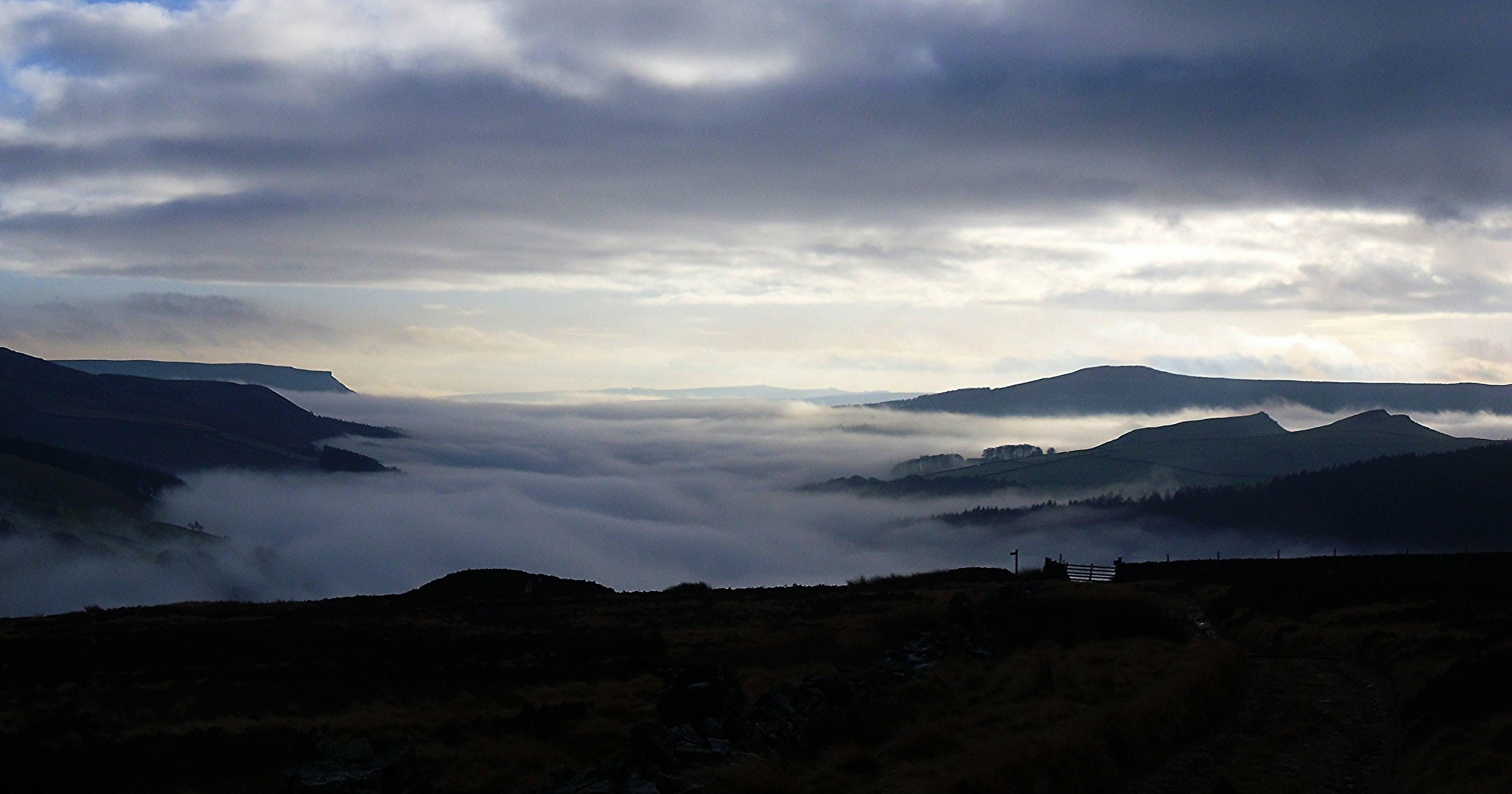
hope valley in snow
View from Over Owler Tor

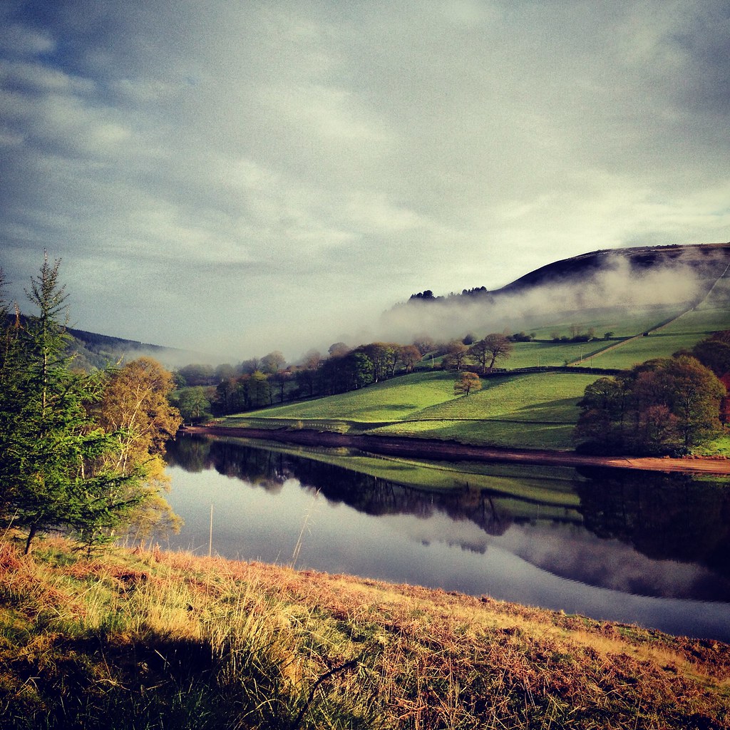
Howden Reservoir

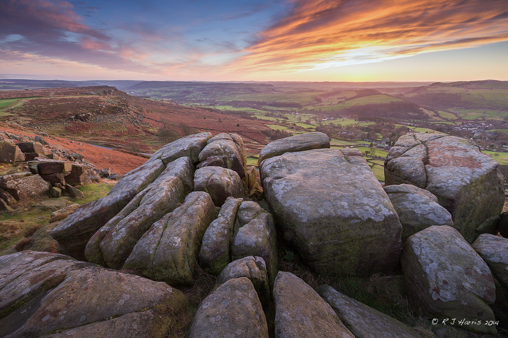
Millstones on the edge
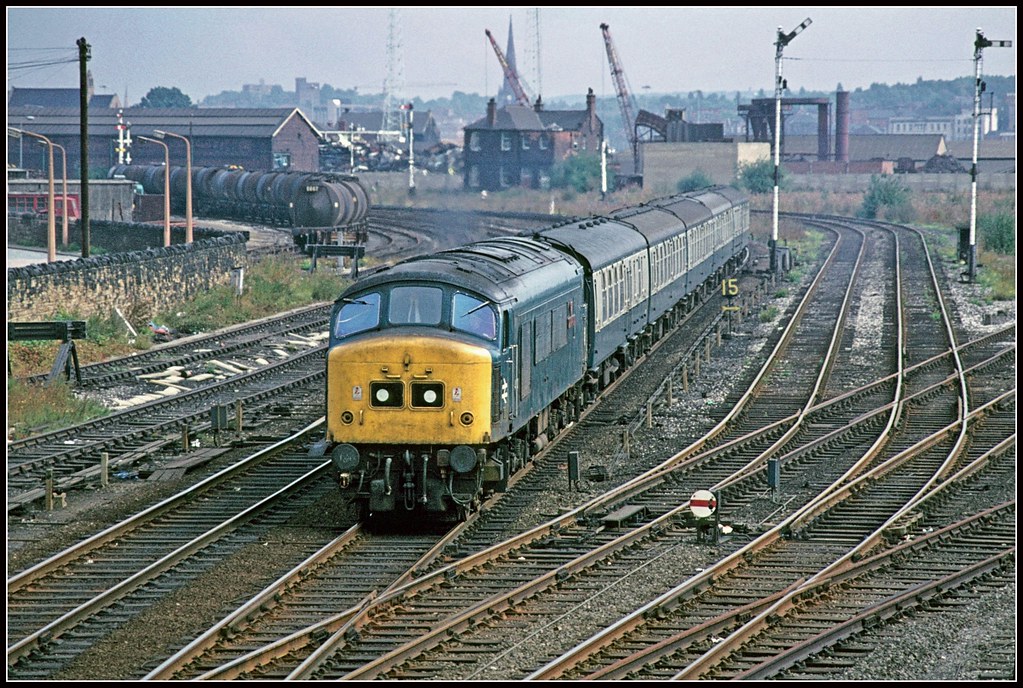
45137 Rotherham 16Sep77
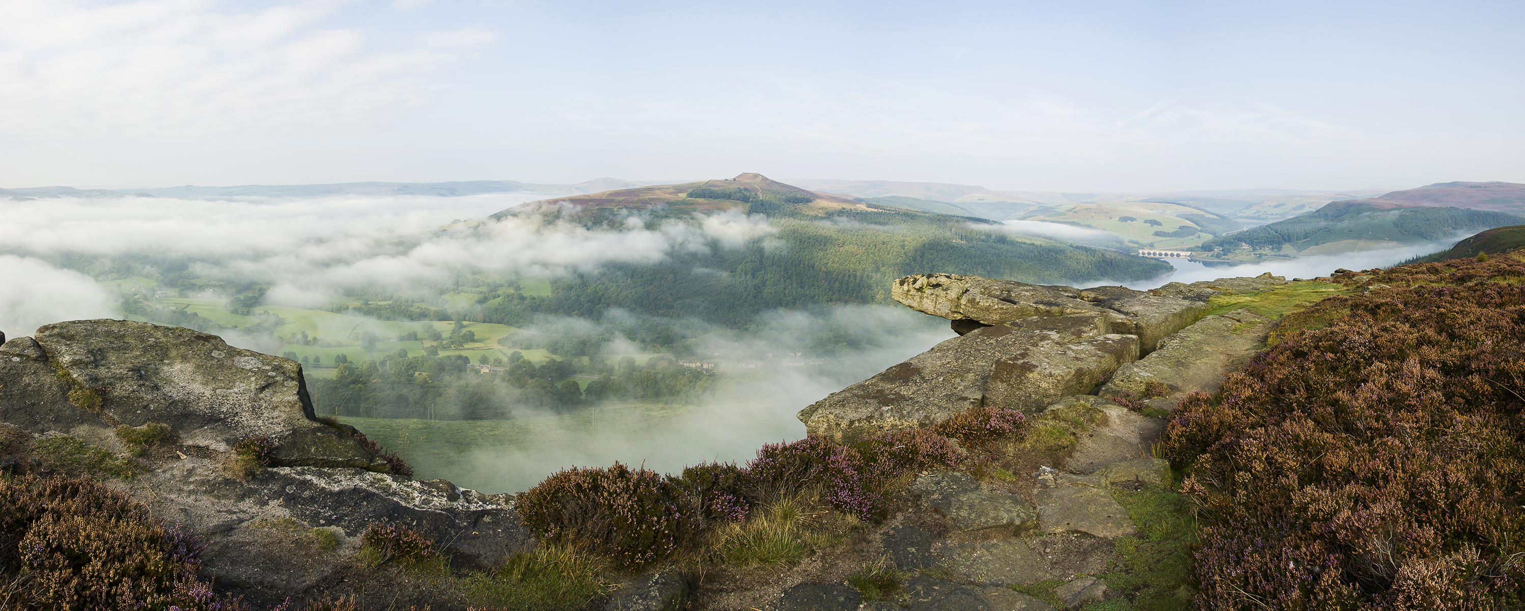
Over the Edge
Curbar Edge
Hope Valley Panorama

Worth Getting Up For ...
Bamford Edge Panorama
View From Baslow Edge

L1.

Katiannidae Grazing

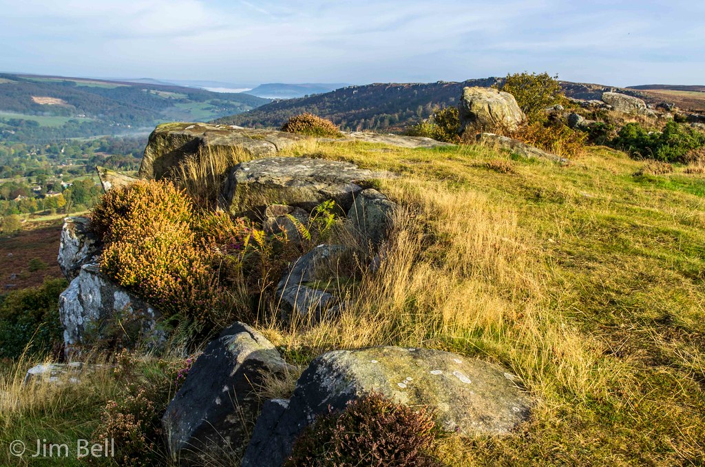
Baslow Edge
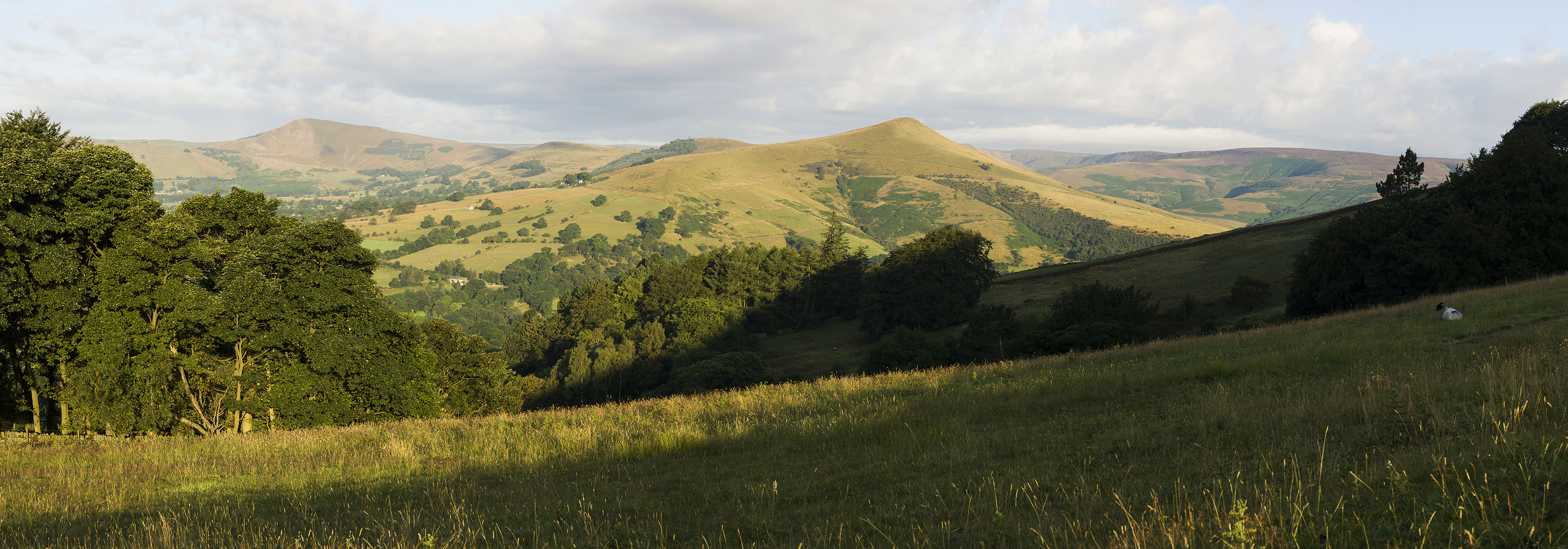
Great Ridge Panorama
Derwent Valley 1

Ladybower Bridge

CLIFF TOP

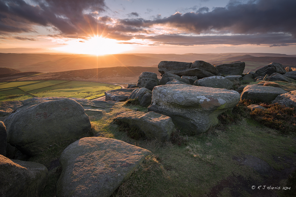
Over Owler Tor Summer Sunset

sunset and snow
Old Light

Lady Bower Fishery
Stanage edge
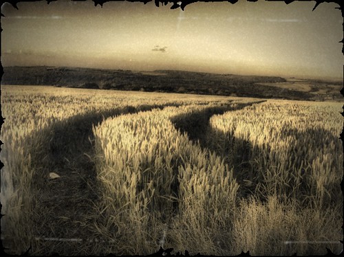
Crop Lines

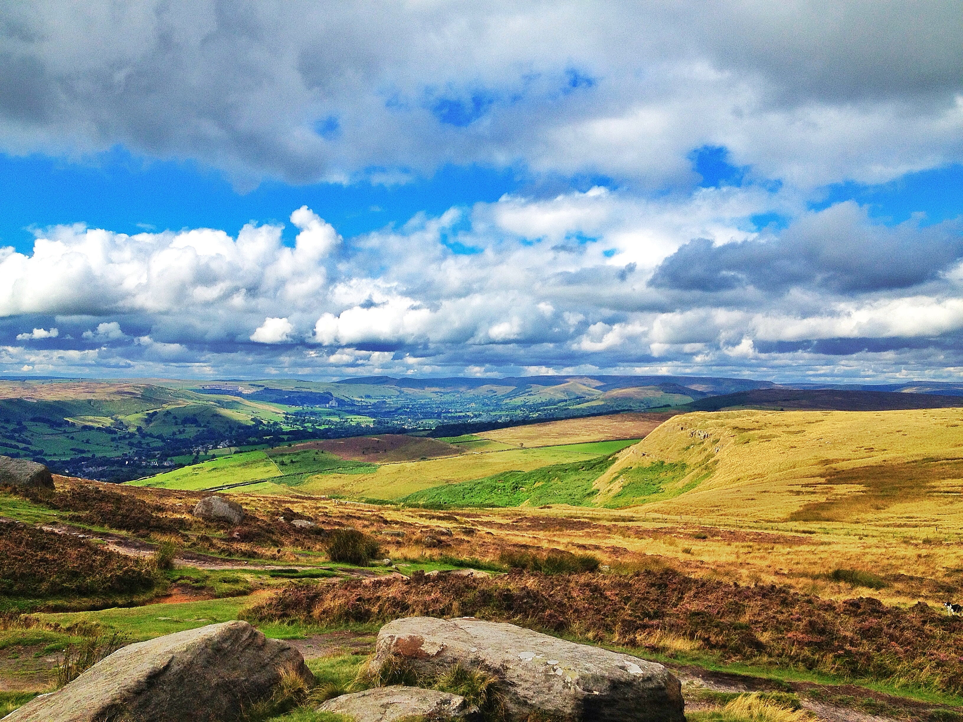
hope valley
Curbar Sunset

Upper derwent
Stanage Flair
Out and about
Autumnal Splendour

Into The White
Above Ladybower.
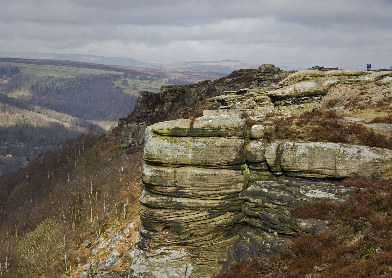
Curbar Edge

Boxing day.

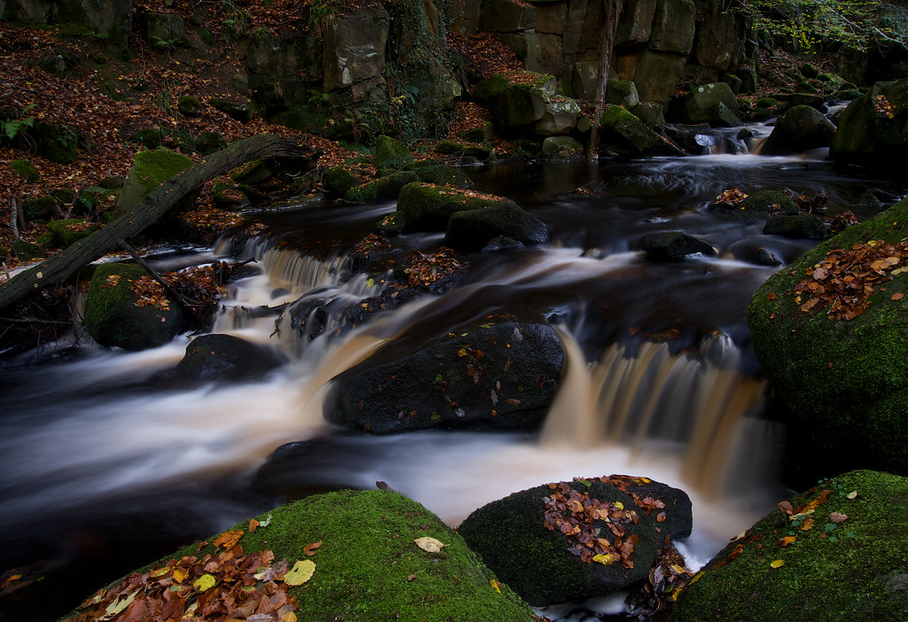
5784d Rivelin Valley Falls
Topographic Map of Stannington Rd, Sheffield S6 6AF, UK
Find elevation by address:

Places near Stannington Rd, Sheffield S6 6AF, UK:
Stannington
Loxley
14 Burnt Stones Dr
397a
S6 6da
S10 5sf
Sandygate Road
S10 5sj
Sheffield District
S10 5nr
S10 3qw
River Rivelin
32 Stone Delf
Hallam Grange Close
Hallam Grange Close
Hallam Grange Close
Bole Hill Road
Linnet Way
S10 4ed
3 Dykes Ln
Recent Searches:
- Elevation of Suffield, AB T0J 2N0, Canada
- Elevation of Coan West, Coon West, Co. Kilkenny, Ireland
- Elevation of 8 Rue Raoul Dufy, Collioure, France
- Elevation of 6 Muir St, Medowie NSW, Australia
- Elevation of Woodland Road, Woodland Rd, Lee, MA, USA
- Elevation of Turner Mill Rd, Talladega, AL, USA
- Elevation of Wylie Ridge Rd, New Cumberland, WV, USA
- Elevation of Dogwood Ln, Millsboro, DE, USA
- Elevation of Paseo Lucido, San Diego, CA, USA
- Elevation of W S, Orem, UT, USA