Elevation of Stanford Golf Course, Junipero Serra Blvd, Stanford, CA, USA
Location: United States > California > Santa Clara County > Stanford >
Longitude: -122.18418
Latitude: 37.4211838
Elevation: 69m / 226feet
Barometric Pressure: 100KPa
Elevation Map:
Satellite Map:
Related Photos:
Road C, view back towards intersection with road D.
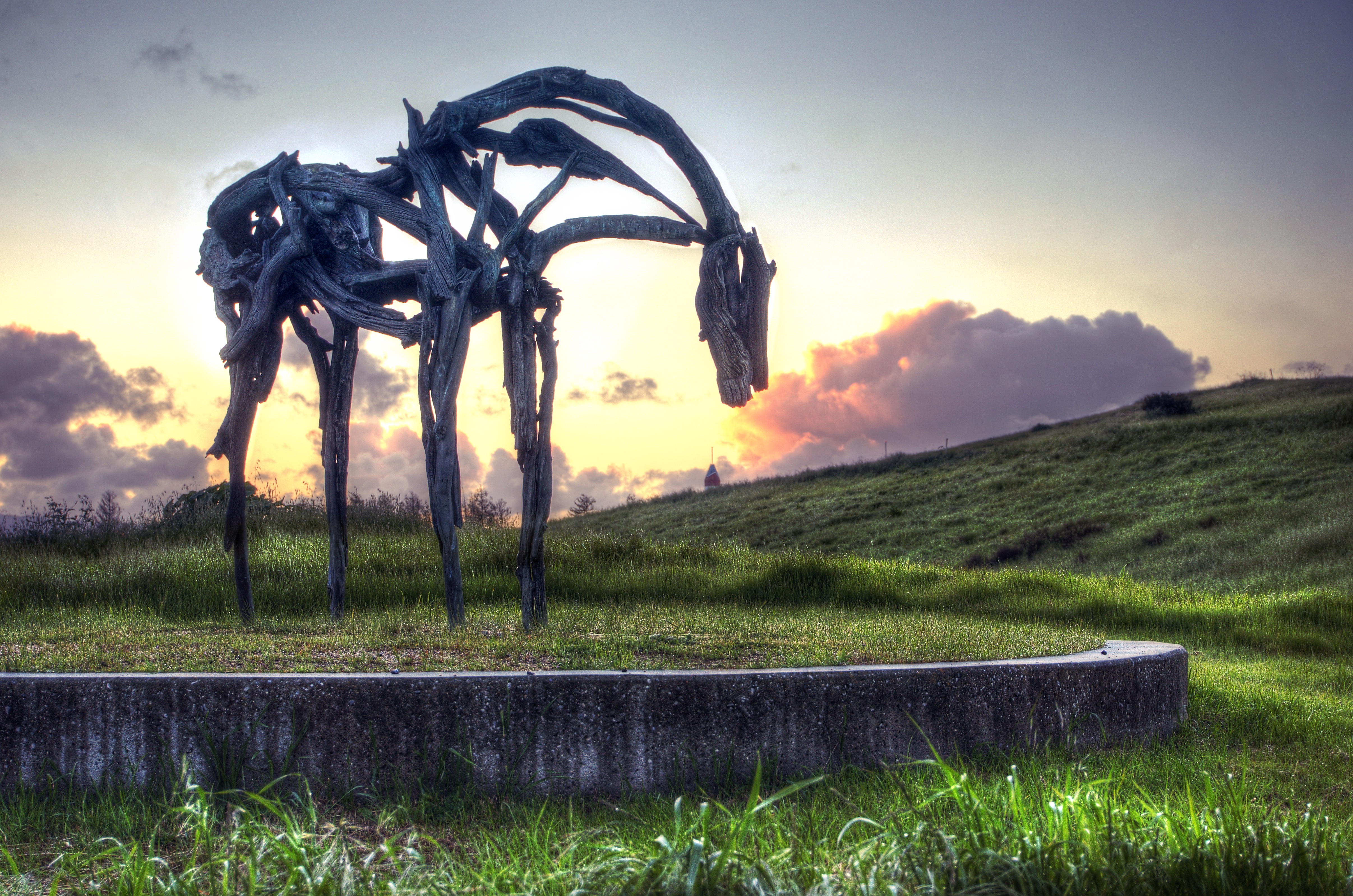
Fire breathing dragon

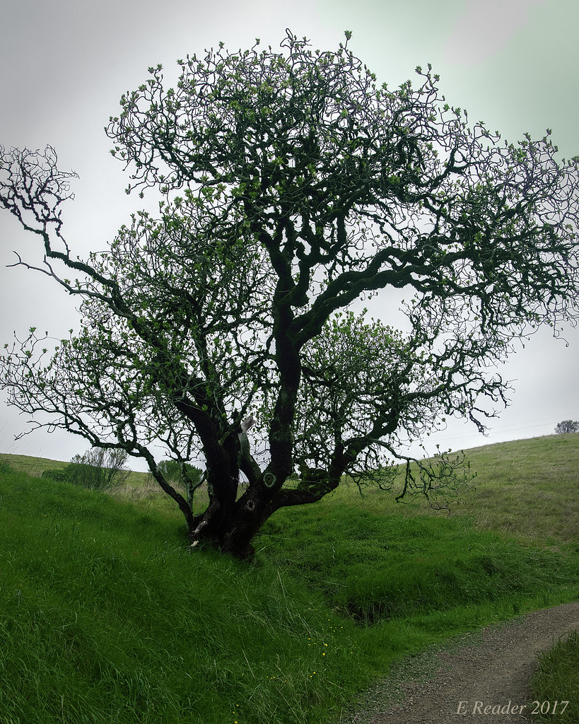
Gnarled Oak

IMG_1380 Let Me Feed You, Honey.
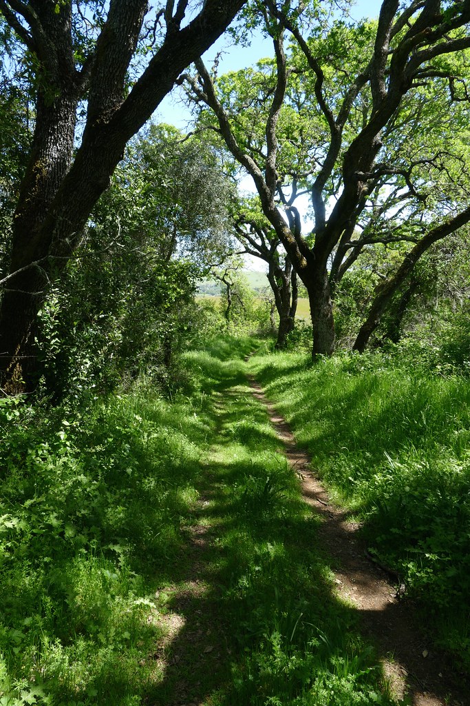
View east down Road F just east of intersection with trail 15.
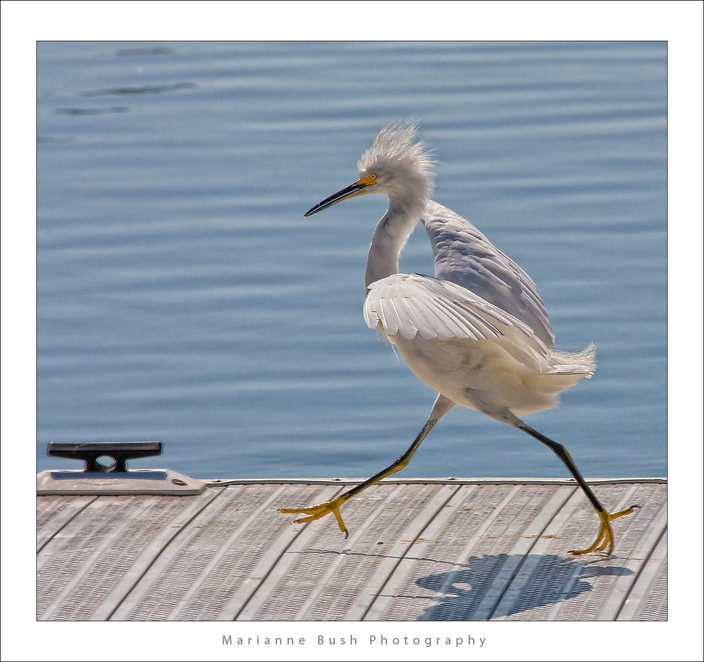
Egret Strut

IMG_5922 Forster's Tern Hovering, Mountain View Shoreline Park, California

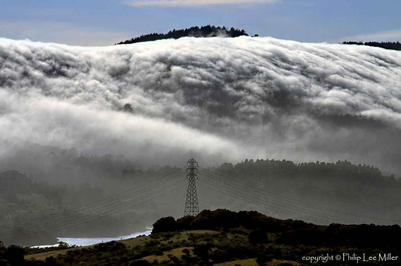
California Coastal Fog (explored)

IMG_1868 Forster's Tern, Mountain View Shoreline Park, CA
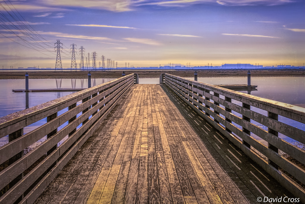
Long Walks on Short Piers
Late Again....
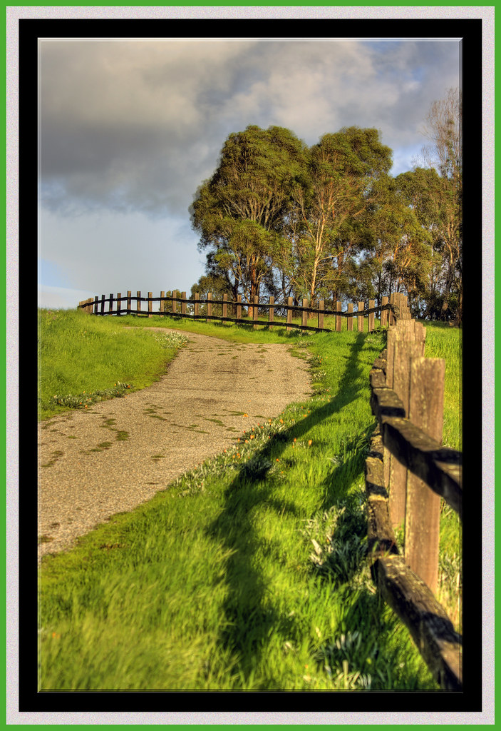
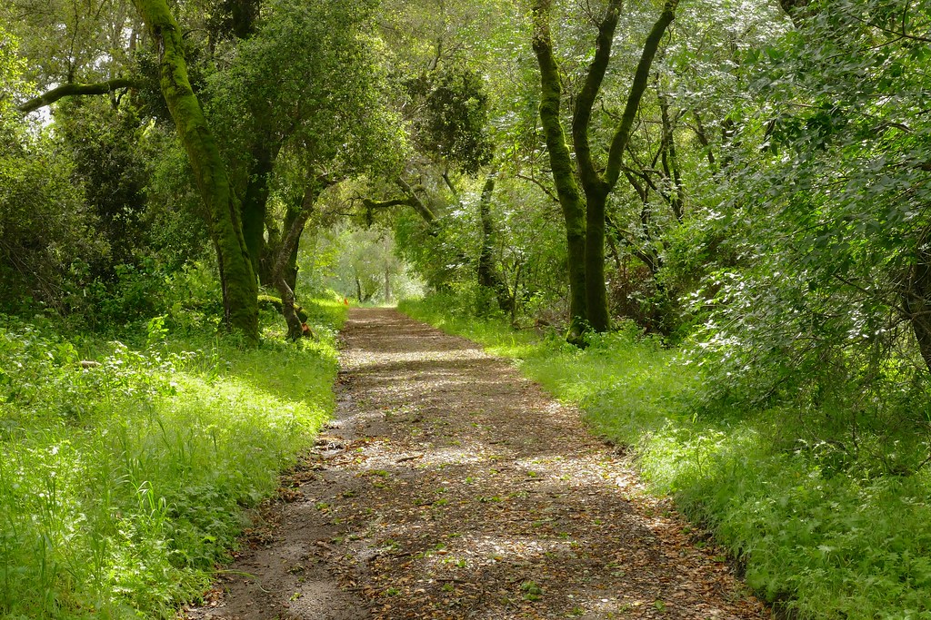
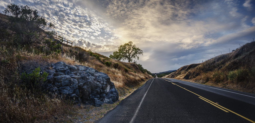
The Road Less Travelled...
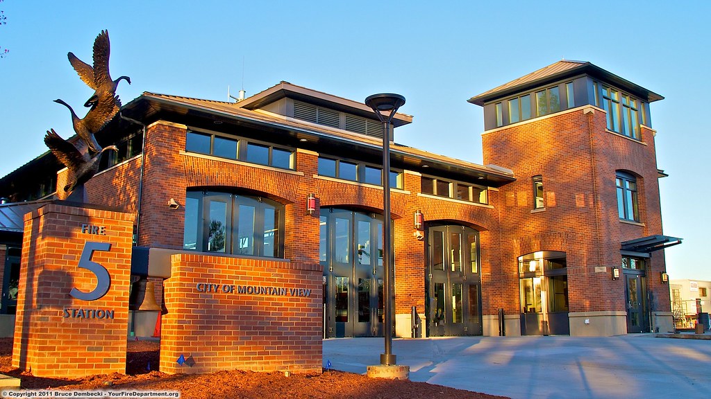
MTV Fire Station 5
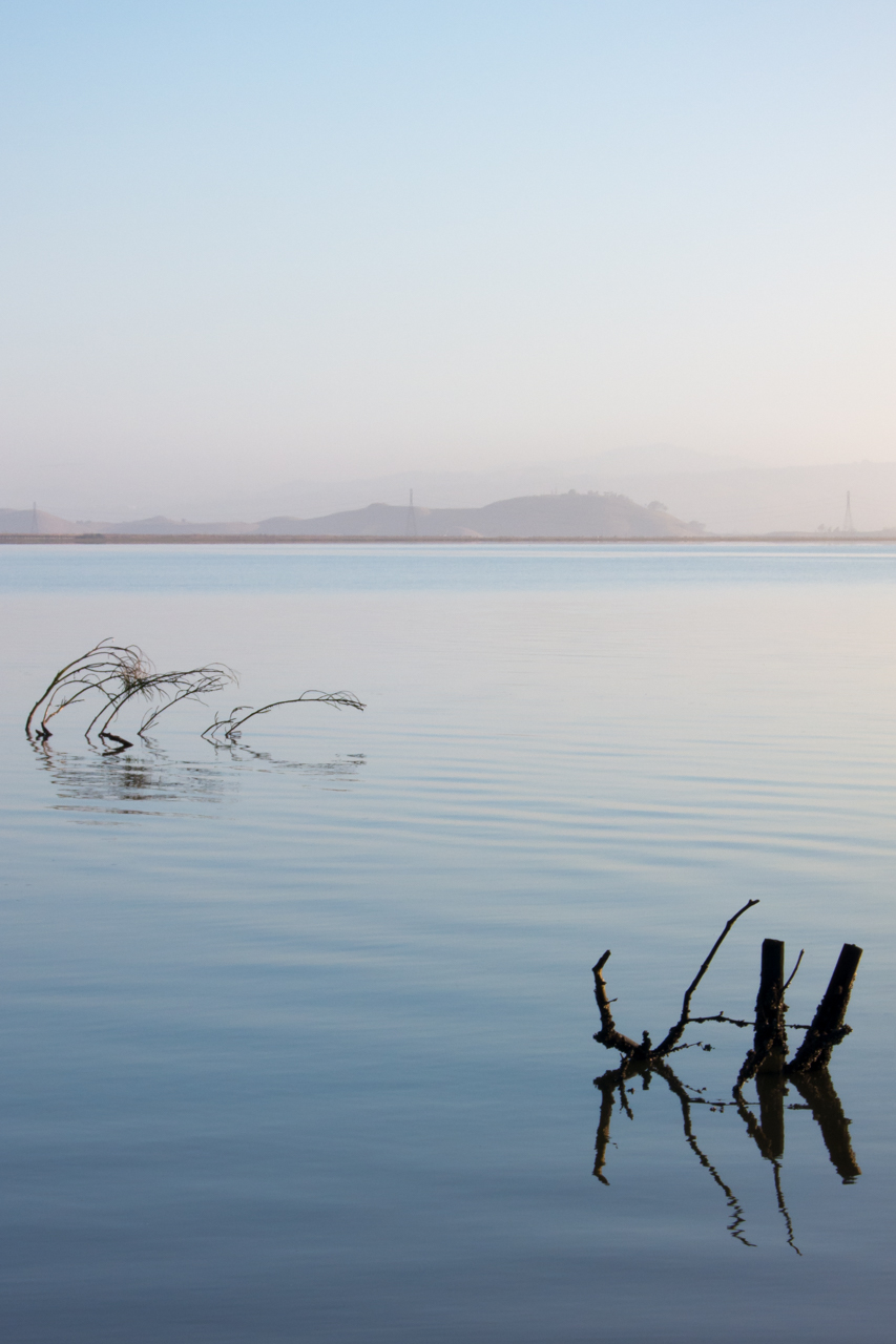
Quiet Lagoon
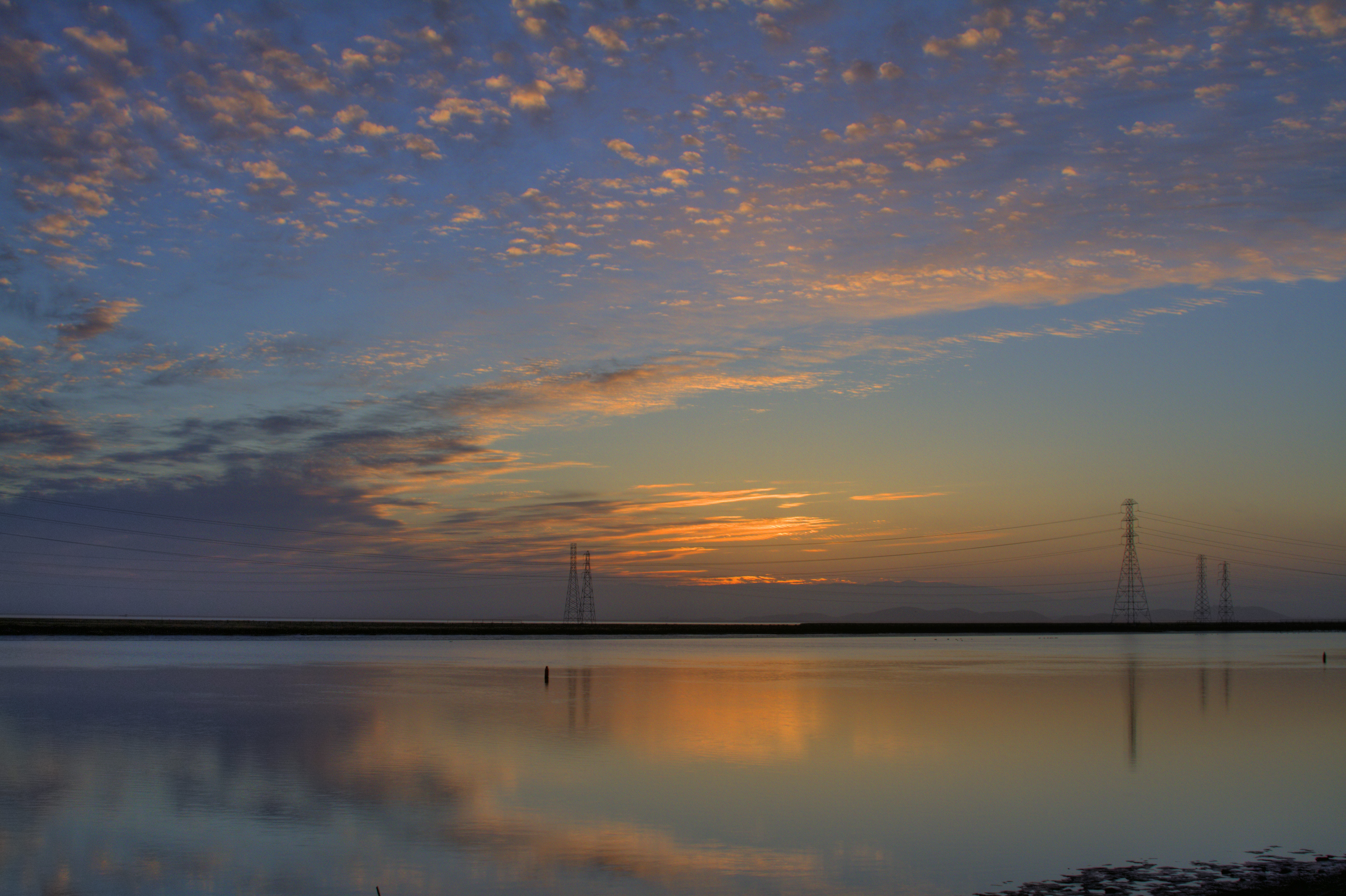
Morning in The Bay
Cracked Earth

IMG_0173 Here I Come! Mountain View Shoreline Park, CA
Hanger One
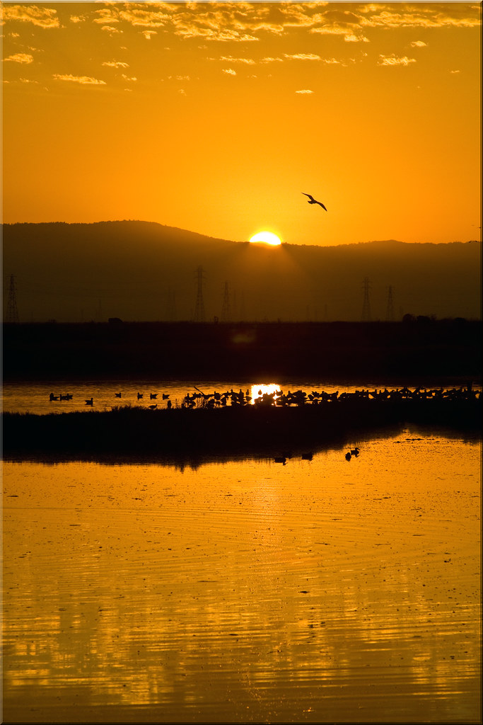
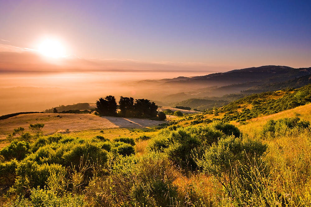
Solstice Sunrise

IMG_4504 Forster's Tern, Mountain View Shoreline Park, CA

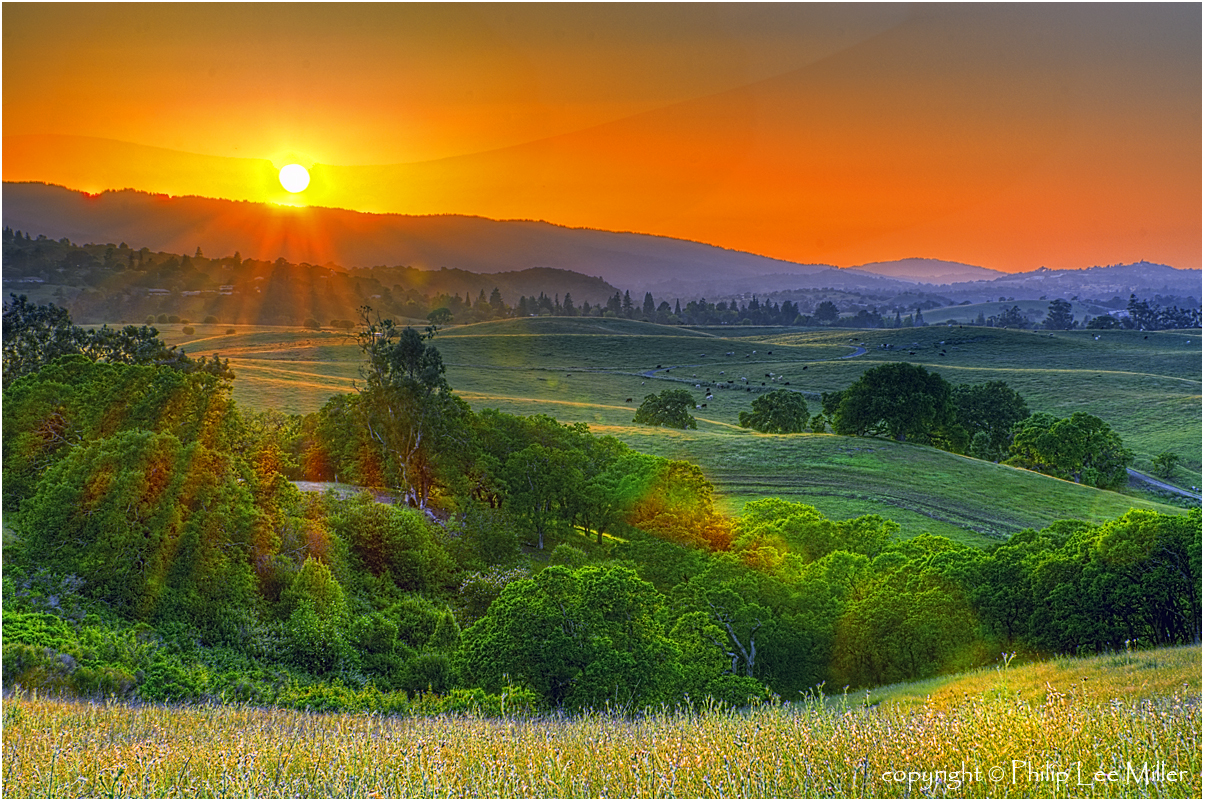
A New Day

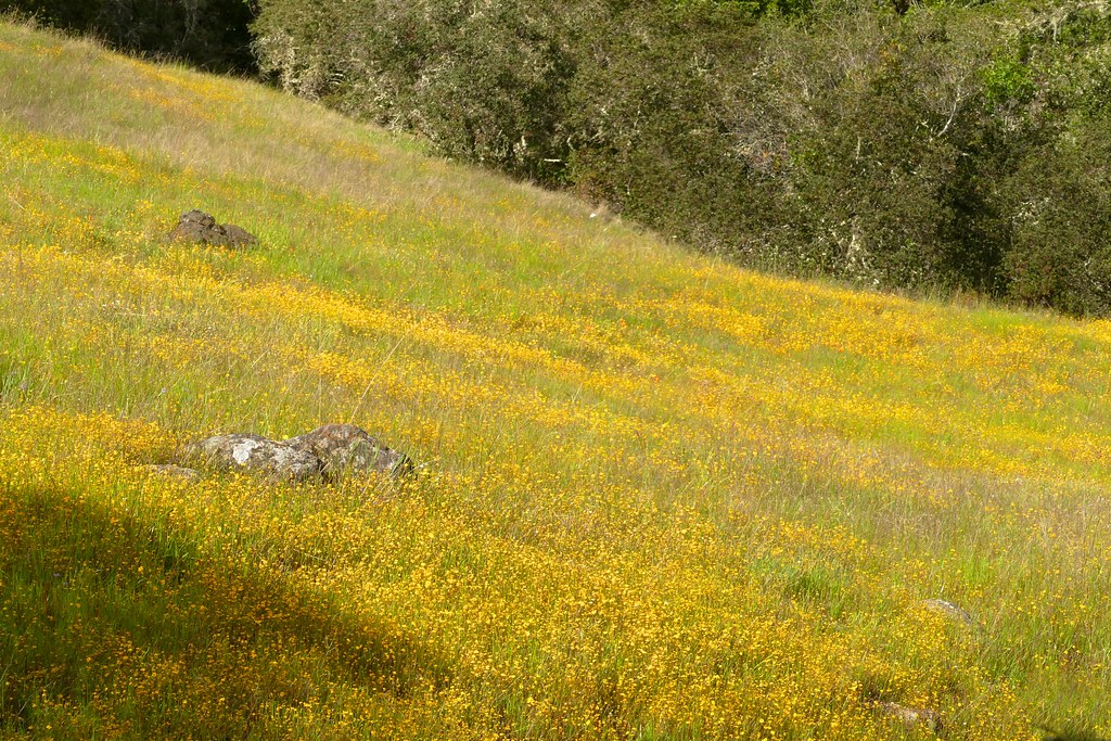
Fields of Gold
Power Meets Power
Springtime Awakening

Gentle Afterglow
my favorite lone tree | cañada rd
Benign Indifference as the World Moves On
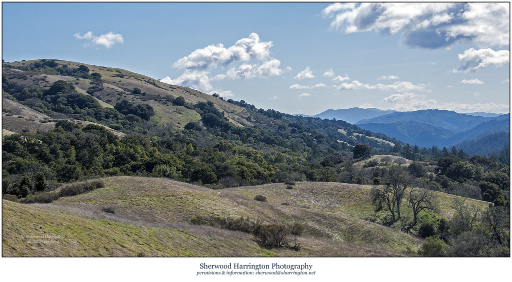
Los Trancos after the Storms
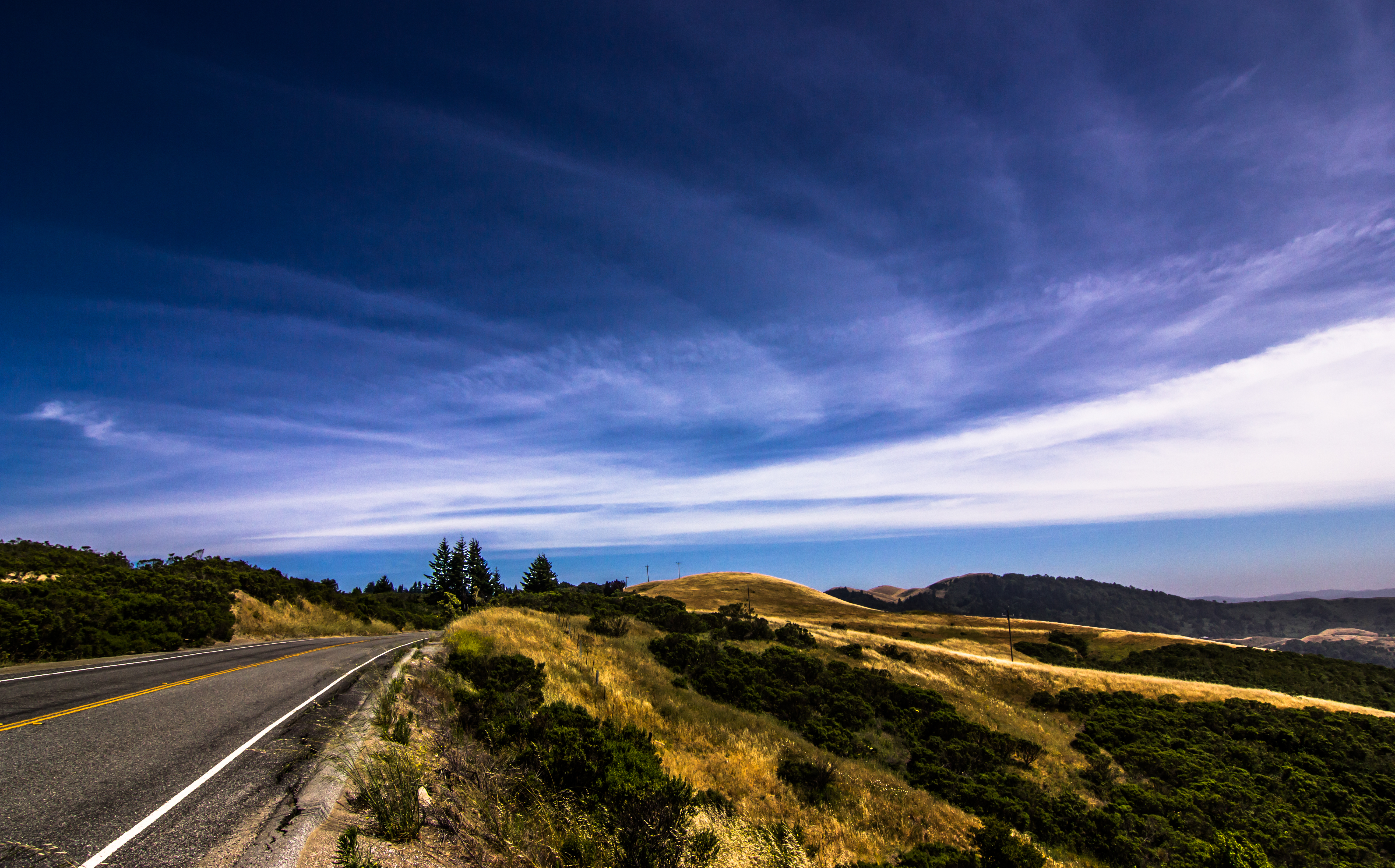
Skyline Boulevard
Golden State

Heavenly Shades of Night are Falling -- Reprise
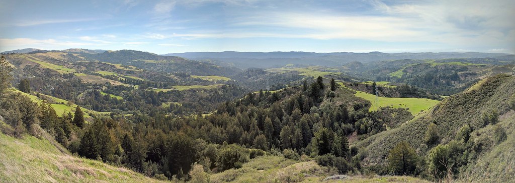
IMG_20170311_123526-PANO

Home on the Farm

Heavenly shades of night are falling, it's twilight time ...
Lasthenia sp., GOLDFIELDS
Palo Alto Baylands

Arastradero Pasture
Skyline Sunrise

DSC00963.JPG

Closing Time

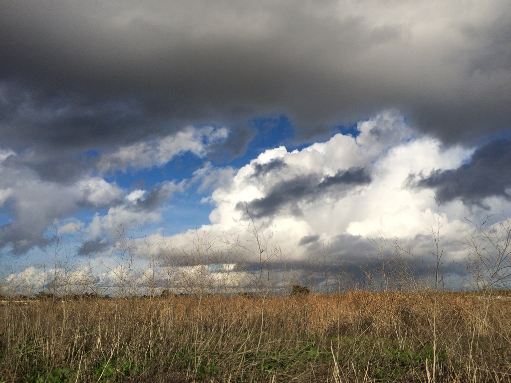
April Skies | Palo Alto
Topographic Map of Stanford Golf Course, Junipero Serra Blvd, Stanford, CA, USA
Find elevation by address:

Places near Stanford Golf Course, Junipero Serra Blvd, Stanford, CA, USA:
Stanford Golf Learning Center
Roble Hall
Enchanted Broccoli Forest
2158 Sand Hill Rd
Oak Creek Apartments
580 Lomita Dr
2428 Sharon Oaks Dr
Lorey Lokey Stem Cell Research Building (sim1)
Florence Moore Hall
Stanford Dish
Santa’s Village At Webb Ranch
Lane Building
840 Oak Ave
Stanford University
450 Jane Stanford Way
675 Sharon Park Dr
Olive Street
Hermosa Way
Slac National Accelerator Laboratory
1181 Sherman Ave
Recent Searches:
- Elevation of Lampiasi St, Sarasota, FL, USA
- Elevation of Elwyn Dr, Roanoke Rapids, NC, USA
- Elevation of Congressional Dr, Stevensville, MD, USA
- Elevation of Bellview Rd, McLean, VA, USA
- Elevation of Stage Island Rd, Chatham, MA, USA
- Elevation of Shibuya Scramble Crossing, 21 Udagawacho, Shibuya City, Tokyo -, Japan
- Elevation of Jadagoniai, Kaunas District Municipality, Lithuania
- Elevation of Pagonija rock, Kranto 7-oji g. 8"N, Kaunas, Lithuania
- Elevation of Co Rd 87, Jamestown, CO, USA
- Elevation of Tenjo, Cundinamarca, Colombia