Elevation of Santa’s Village at Webb Ranch, Alpine Rd, Portola Valley, CA, USA
Location: United States > California > San Mateo County > Portola Valley >
Longitude: -122.19460
Latitude: 37.4116718
Elevation: 63m / 207feet
Barometric Pressure: 101KPa
Elevation Map:
Satellite Map:
Related Photos:

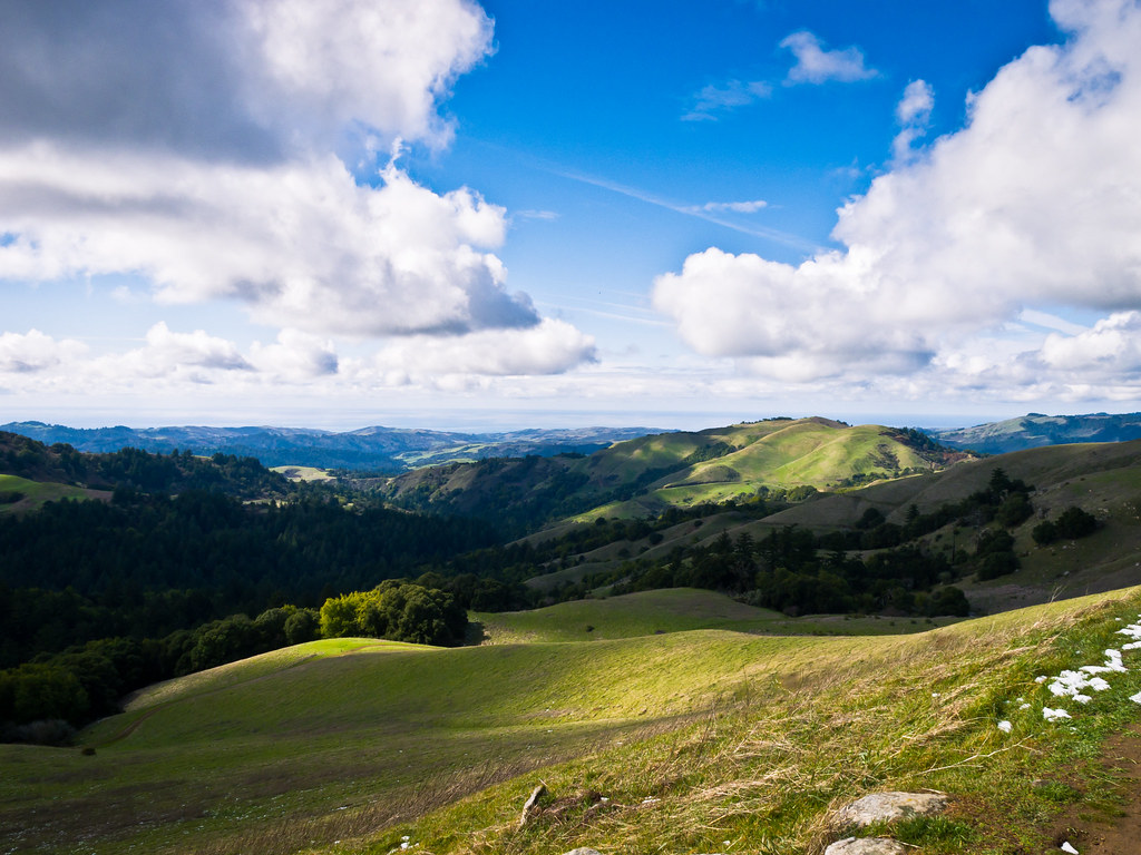
Gnarled Oak
Four In One

IMG_5922 Forster's Tern Hovering, Mountain View Shoreline Park, California

IMG_3580 Black-Crowned Night Heron

IMG_8736 Snowy Egret
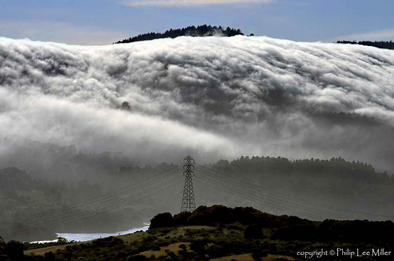
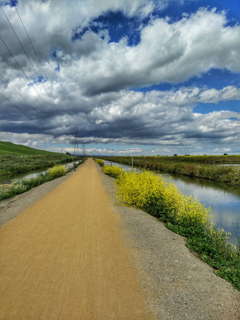
Dawn at the Slough

Juvenile Red-tailed Hawk (Buteo jamaicensis) - Hunting mode (5 of 5)
my own sunset strip | emerald lake, ca
Early Morning Walk
Egret Strut

IMG_1380 Let Me Feed You, Honey.

IMG_0173 Here I Come! Mountain View Shoreline Park, CA
Fish On
Shadow Bike

Break Chairs
Forster's Tern (1st year)
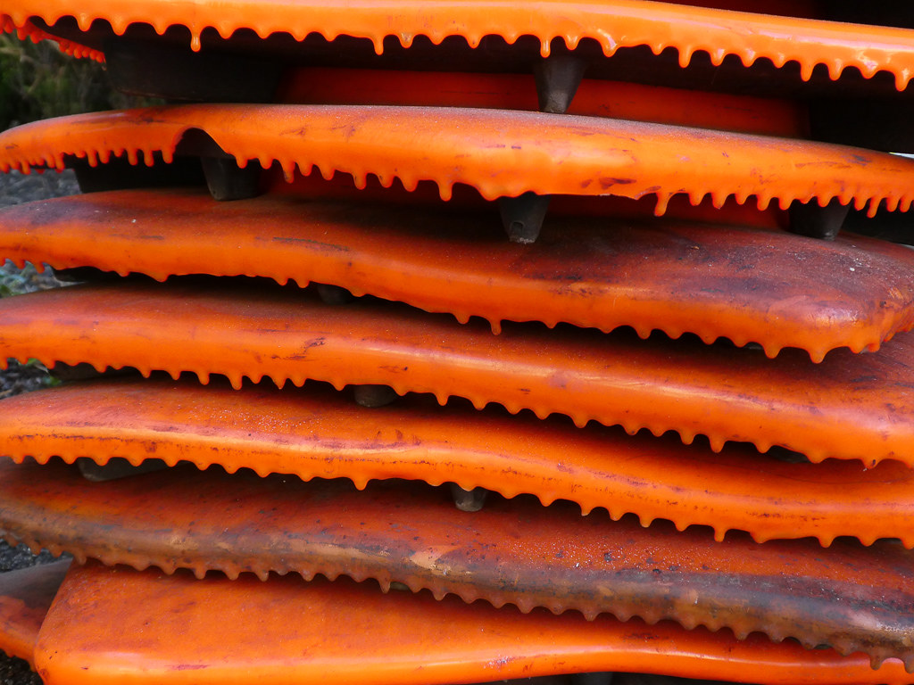
Cone Drips

DSC01246.JPG
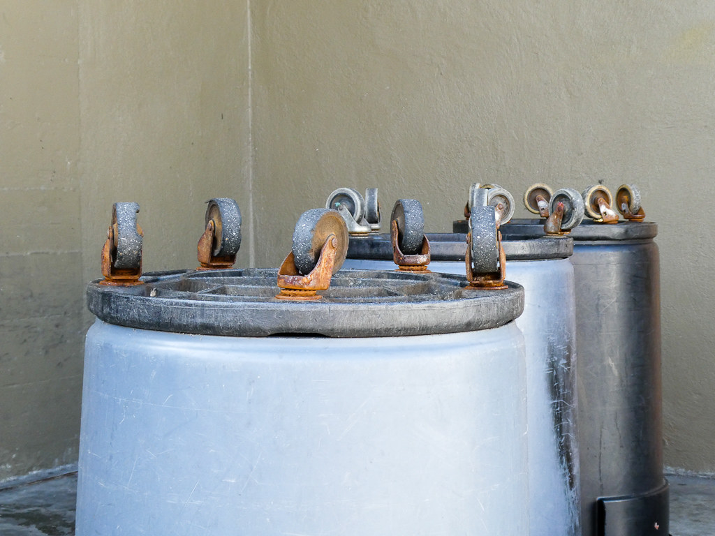
Wheels Up
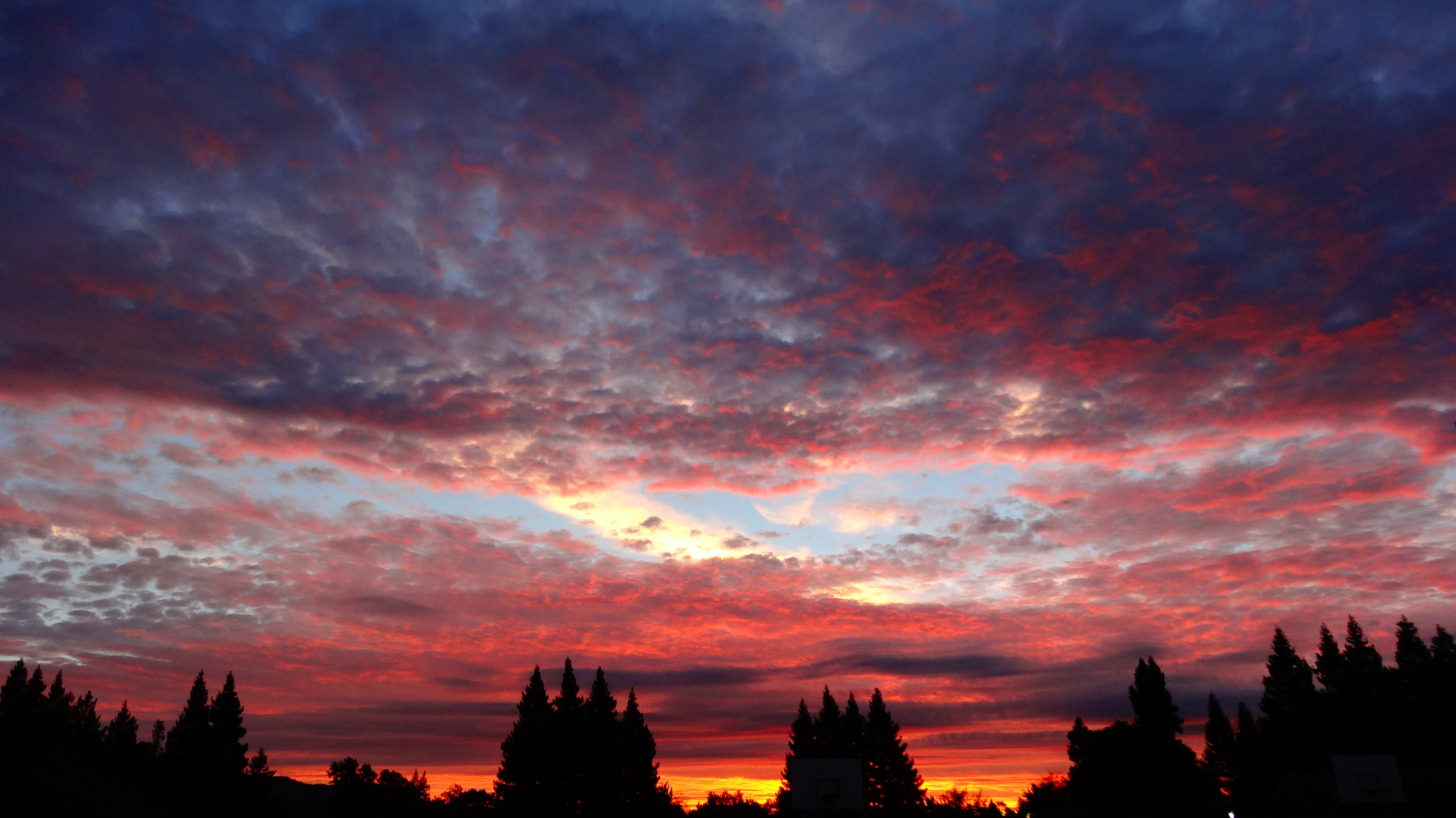
Sunset View

IMG_6686 Great Egret, Mountain View Shoreline Park, CA

Heavenly shades of night are falling, it's twilight time ...

Arastradero Pasture
Power Meets Power

Heavenly Shades of Night are Falling -- Reprise

Fields of Gold

Home on the Farm

~~Garden of PEACE #2~~
Yesterday afternoon stroll.
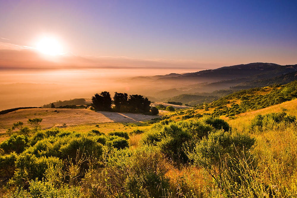
Skyline Sunrise

DSC00963.JPG

Alle Fotos-58

Closing Time
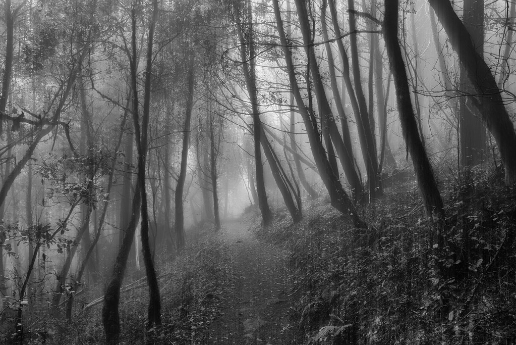
Purisima Creek
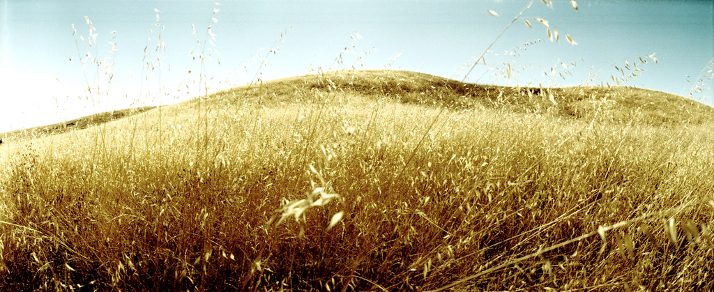
grassy hill

Redwood Shores

April Skies | Palo Alto

Gentle Afterglow
Go West Young Man
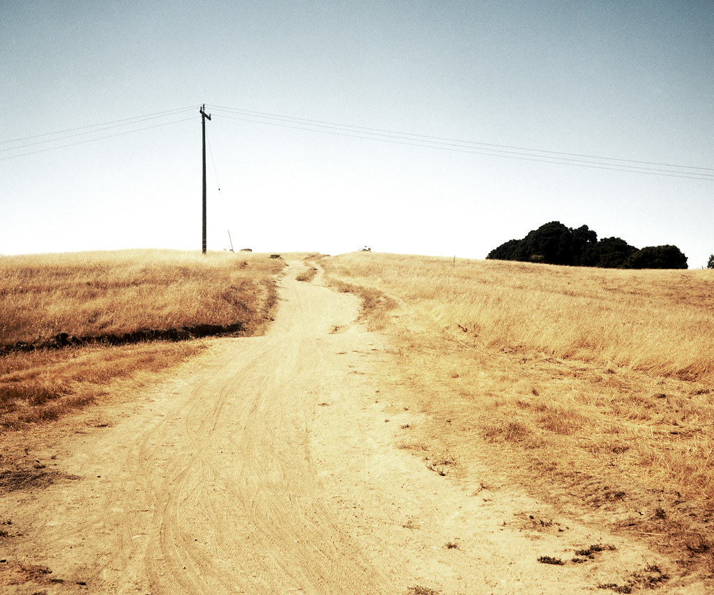
trail uphill

Stanford and Palo Alto

hwy 280
Topographic Map of Santa’s Village at Webb Ranch, Alpine Rd, Portola Valley, CA, USA
Find elevation by address:

Places near Santa’s Village at Webb Ranch, Alpine Rd, Portola Valley, CA, USA:
104 La Mesa Dr
Erica Way, Menlo Park, CA, USA
675 Sharon Park Dr
Slac National Accelerator Laboratory
2428 Sharon Oaks Dr
Ladera
2158 Sand Hill Rd
Stanford Golf Course
Stanford Dish
Stanford Golf Learning Center
Oak Creek Apartments
Enchanted Broccoli Forest
1252 Bellair Way
Sharon Heights
University Heights
Roble Hall
1181 Sherman Ave
580 Lomita Dr
2260 Tioga Dr
Florence Moore Hall
Recent Searches:
- Elevation of Lampiasi St, Sarasota, FL, USA
- Elevation of Elwyn Dr, Roanoke Rapids, NC, USA
- Elevation of Congressional Dr, Stevensville, MD, USA
- Elevation of Bellview Rd, McLean, VA, USA
- Elevation of Stage Island Rd, Chatham, MA, USA
- Elevation of Shibuya Scramble Crossing, 21 Udagawacho, Shibuya City, Tokyo -, Japan
- Elevation of Jadagoniai, Kaunas District Municipality, Lithuania
- Elevation of Pagonija rock, Kranto 7-oji g. 8"N, Kaunas, Lithuania
- Elevation of Co Rd 87, Jamestown, CO, USA
- Elevation of Tenjo, Cundinamarca, Colombia