Elevation of Staffa, ON N0K, Canada
Location: Canada > Ontario > Perth County > West Perth >
Longitude: -81.337836
Latitude: 43.443022
Elevation: 322m / 1056feet
Barometric Pressure: 98KPa
Elevation Map:
Satellite Map:
Related Photos:

Blue Grosbeak in Perth County
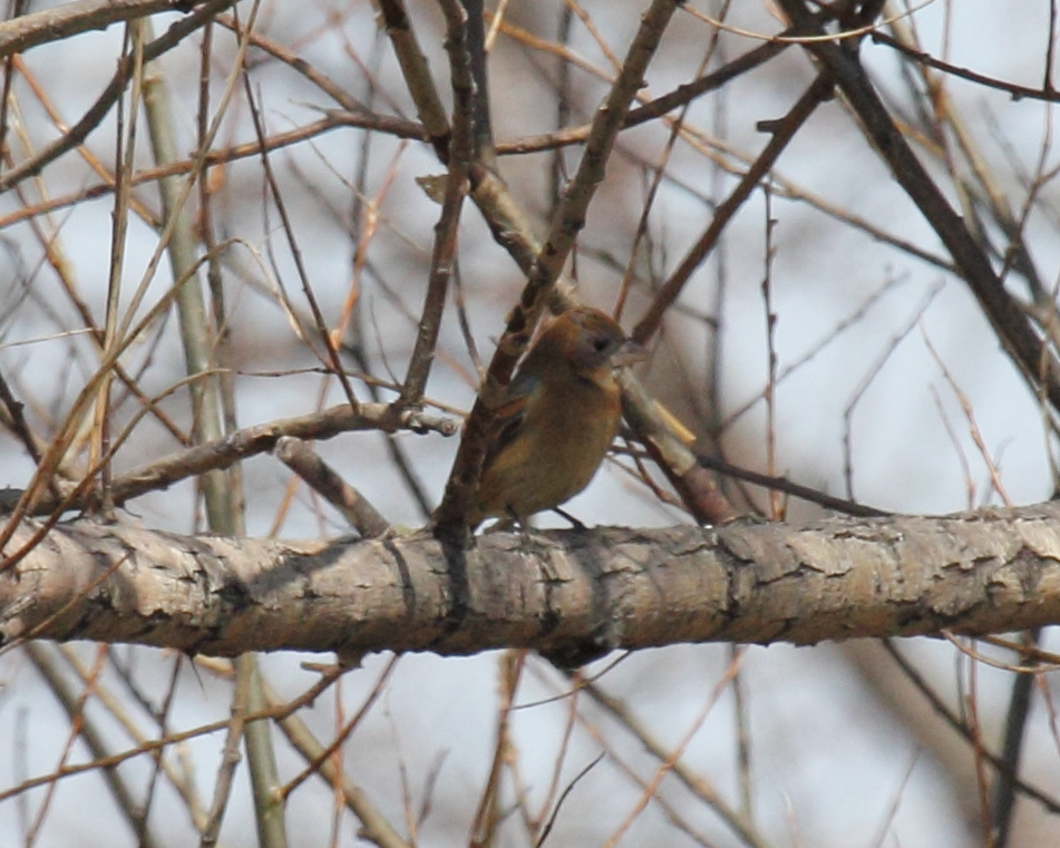
Blue Grosbeak in Perth County
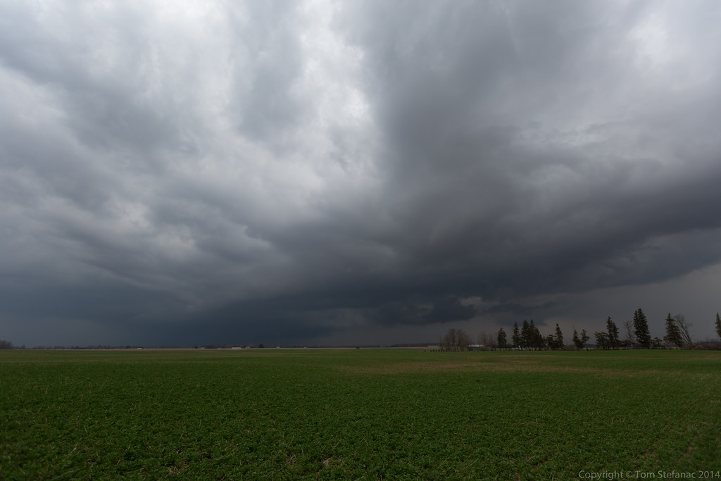
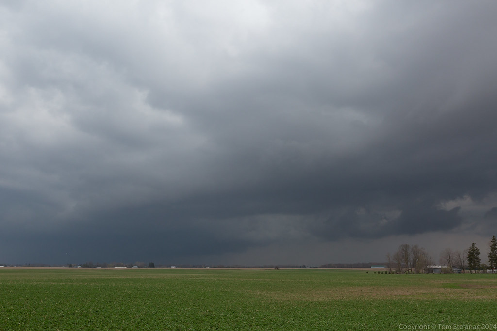
Seaforth Storm

First Day of Spring

Drift Bustin' outside of Mitchell

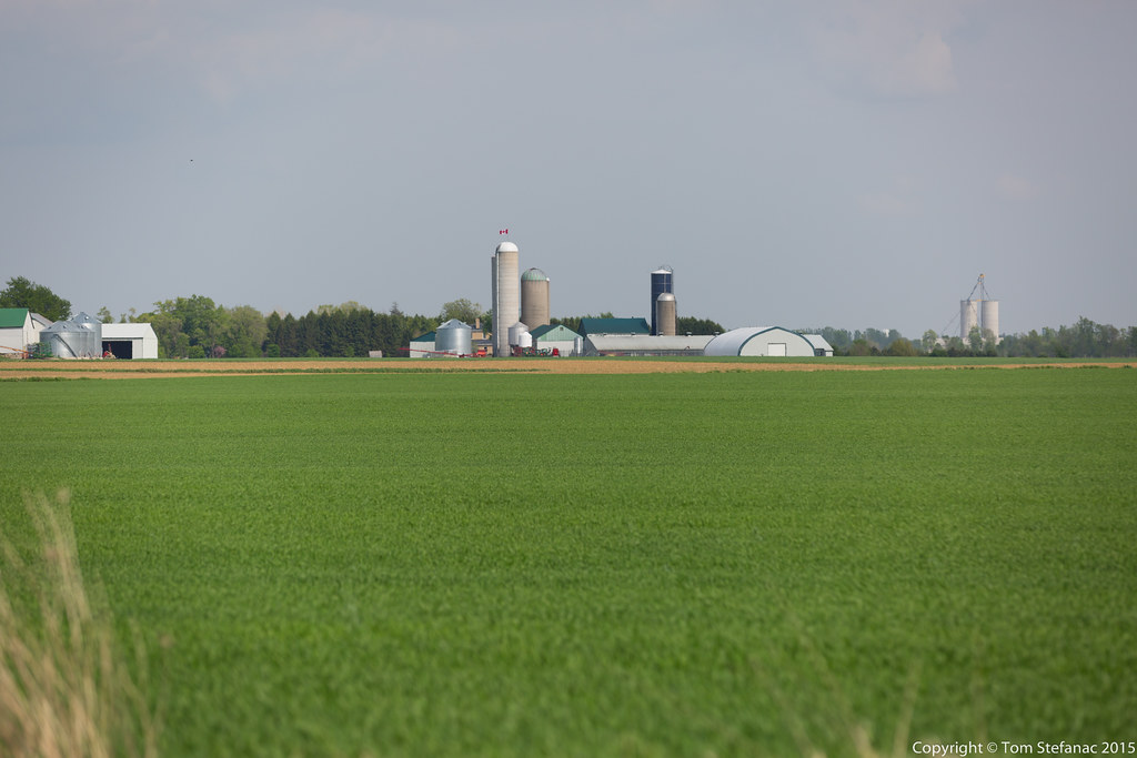
Gobbling Up The Farms
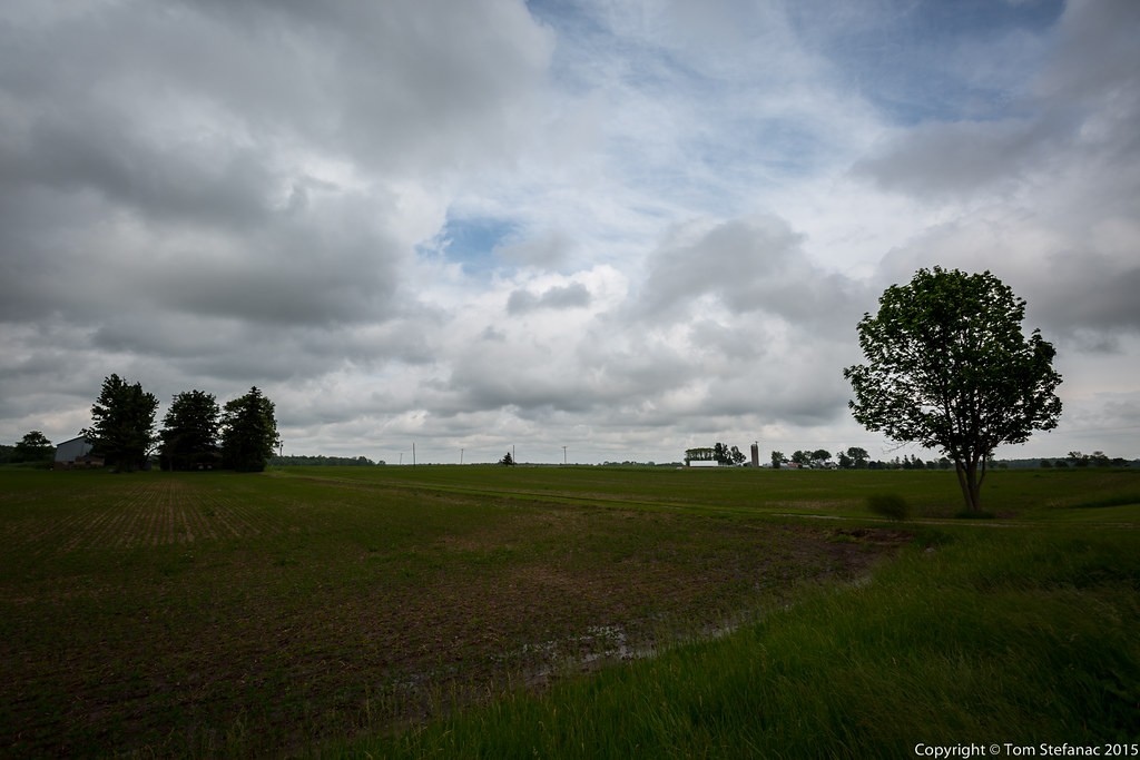
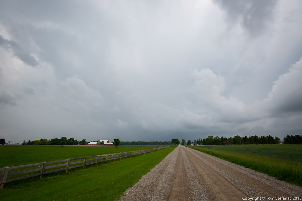
Farm Field
20150618-_E1A2899.jpg
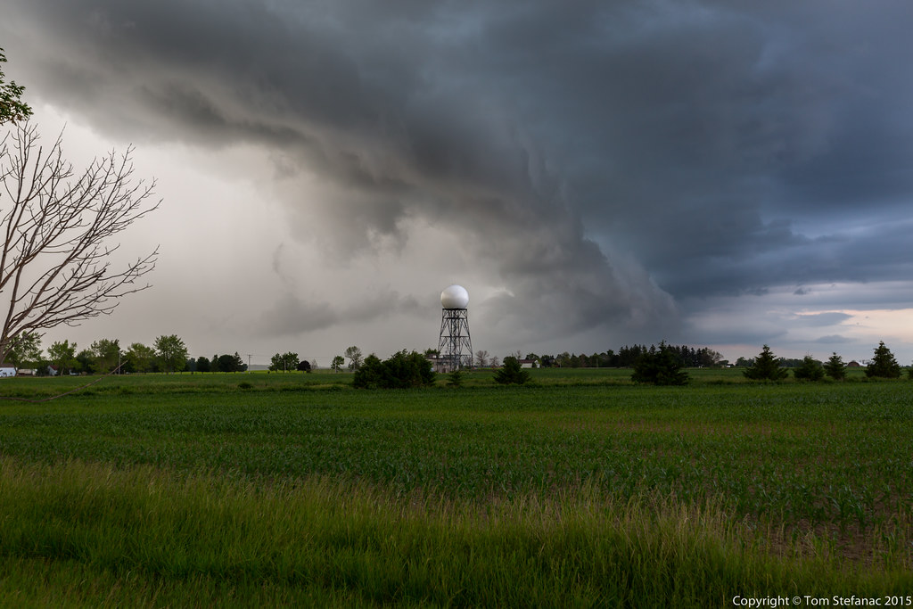
Low Level Moisture
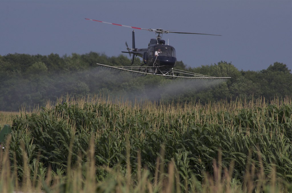
Whatever it takes...
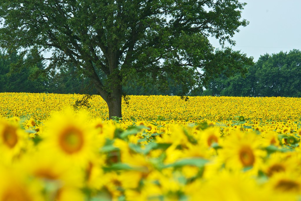
Sun Flower Field
Still Sort of Elevated
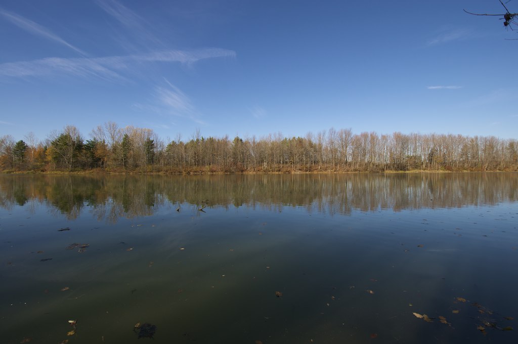
Morrison Dam, Exeter, ON
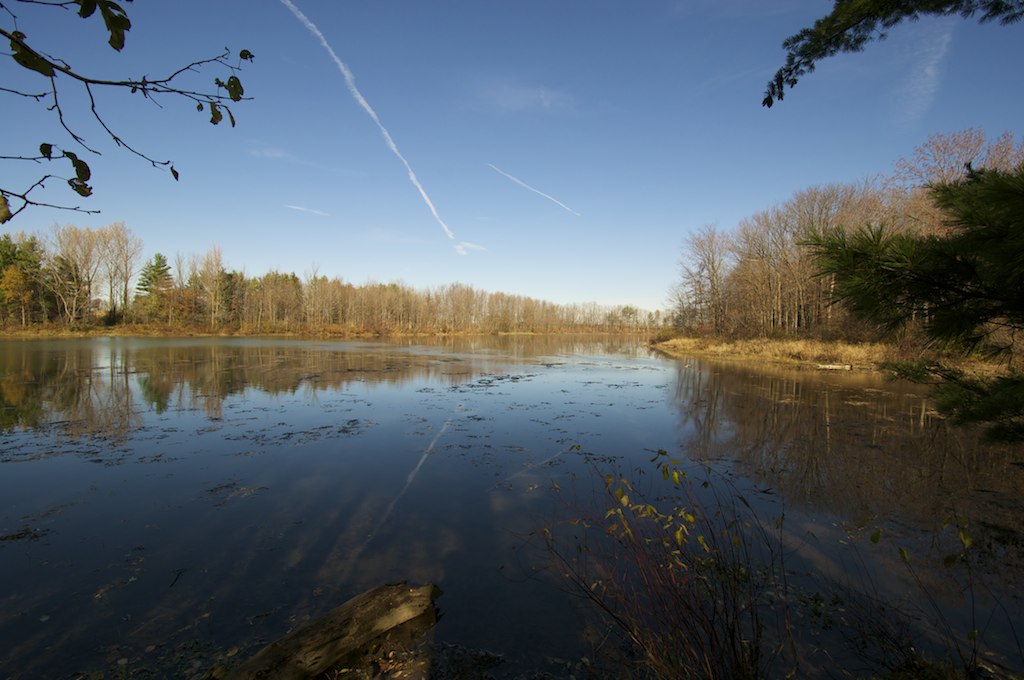
Morrison Dam, Exeter, ON
Storm 1
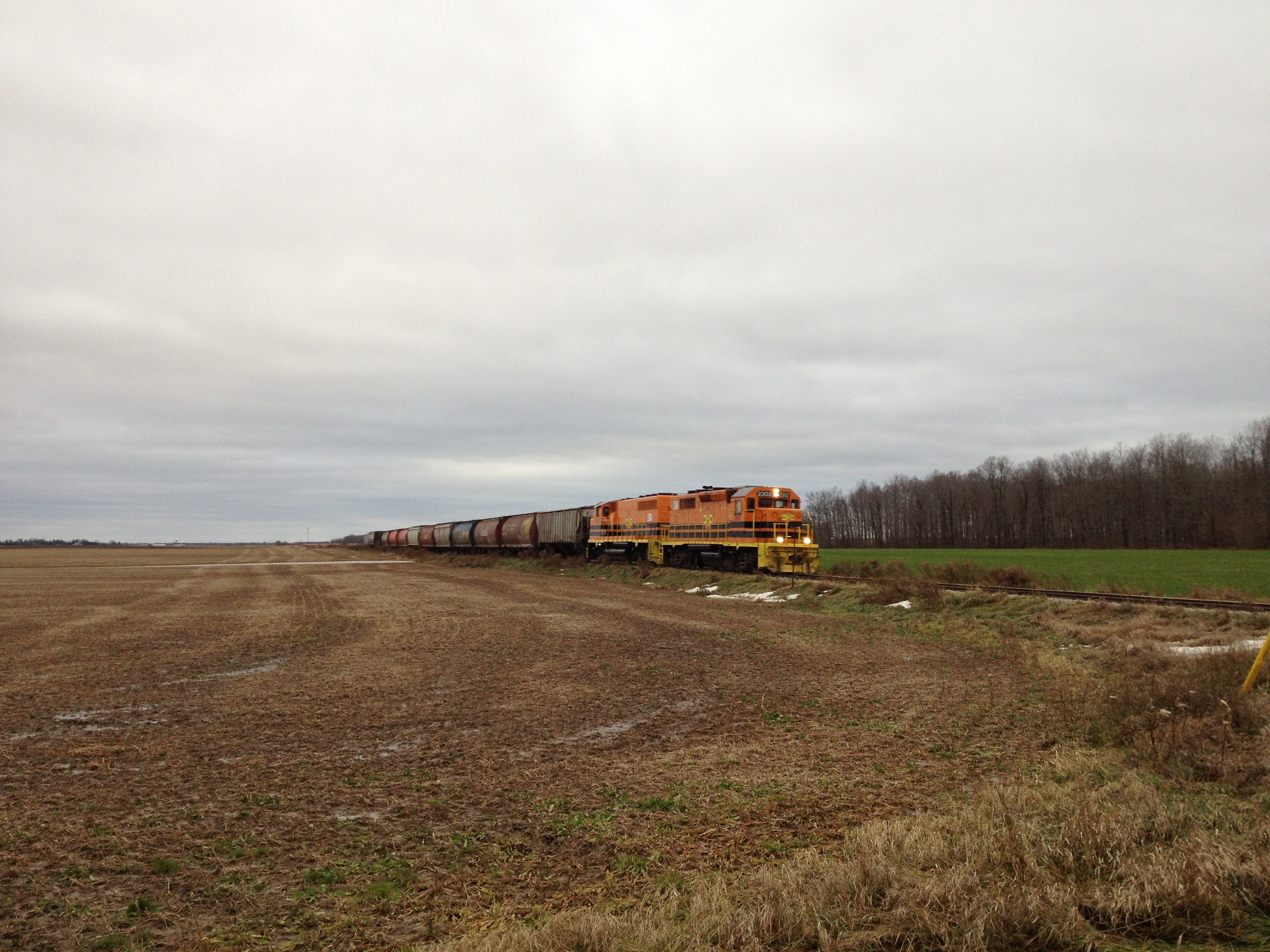
GEXR Exeter Sub
GEXR Exeter Sub
Topographic Map of Staffa, ON N0K, Canada
Find elevation by address:

Places in Staffa, ON N0K, Canada:
Places near Staffa, ON N0K, Canada:
26 Line, Staffa, ON N0K 1Y0, Canada
Hensall Road
Seaforth Golf & Country Club
Hern Line, Exeter, ON N0M 1S5, Canada
67 Kippen Rd
7 Kippen Rd
1 Kippen Rd
57 William St
57 William St
Seaforth
81 Herbert St
West Perth
128 Adelaide St
Mitchell
6658 42 Line
261 Darling Blvd
261 Darling Blvd
Kippen Post Office
Kippen
Exeter
Recent Searches:
- Elevation of Congressional Dr, Stevensville, MD, USA
- Elevation of Bellview Rd, McLean, VA, USA
- Elevation of Stage Island Rd, Chatham, MA, USA
- Elevation of Shibuya Scramble Crossing, 21 Udagawacho, Shibuya City, Tokyo -, Japan
- Elevation of Jadagoniai, Kaunas District Municipality, Lithuania
- Elevation of Pagonija rock, Kranto 7-oji g. 8"N, Kaunas, Lithuania
- Elevation of Co Rd 87, Jamestown, CO, USA
- Elevation of Tenjo, Cundinamarca, Colombia
- Elevation of Côte-des-Neiges, Montreal, QC H4A 3J6, Canada
- Elevation of Bobcat Dr, Helena, MT, USA