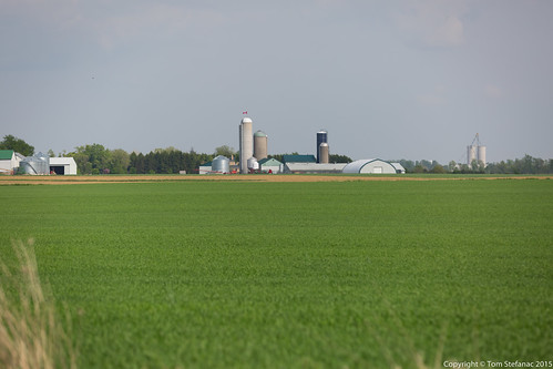
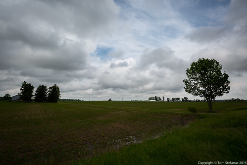
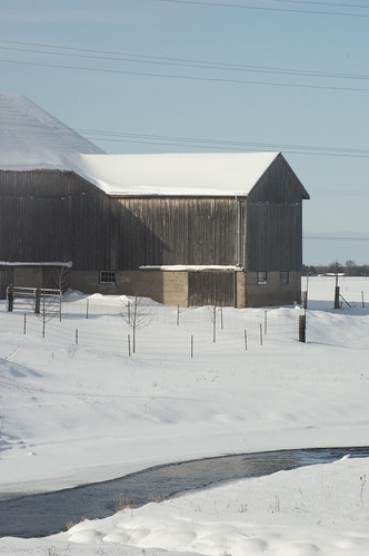
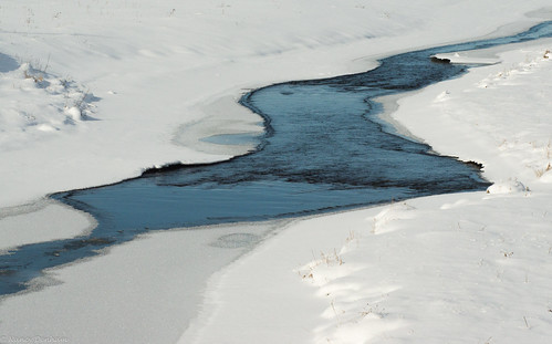
Elevation of 26 Line, Staffa, ON N0K 1Y0, Canada
Location: Canada > Ontario > Perth County > West Perth > Staffa >
Longitude: -81.282100
Latitude: 43.4346766
Elevation: 335m / 1099feet
Barometric Pressure: 97KPa
Related Photos:
Topographic Map of 26 Line, Staffa, ON N0K 1Y0, Canada
Find elevation by address:

Places near 26 Line, Staffa, ON N0K 1Y0, Canada:
Staffa
81 Herbert St
128 Adelaide St
Mitchell
West Perth
6658 42 Line
Hern Line, Exeter, ON N0M 1S5, Canada
Carlingford
Hensall Road
Dr. Jacinta Willems Nd
Seaforth Golf & Country Club
67 Kippen Rd
7 Kippen Rd
1 Kippen Rd
Seaforth
57 William St
57 William St
First St John's Lutheran Chr
Perth Rd, St. Marys, ON N4X 1C4, Canada
261 Darling Blvd
Recent Searches:
- Elevation of Congressional Dr, Stevensville, MD, USA
- Elevation of Bellview Rd, McLean, VA, USA
- Elevation of Stage Island Rd, Chatham, MA, USA
- Elevation of Shibuya Scramble Crossing, 21 Udagawacho, Shibuya City, Tokyo -, Japan
- Elevation of Jadagoniai, Kaunas District Municipality, Lithuania
- Elevation of Pagonija rock, Kranto 7-oji g. 8"N, Kaunas, Lithuania
- Elevation of Co Rd 87, Jamestown, CO, USA
- Elevation of Tenjo, Cundinamarca, Colombia
- Elevation of Côte-des-Neiges, Montreal, QC H4A 3J6, Canada
- Elevation of Bobcat Dr, Helena, MT, USA

