Elevation of Stadland, Germany
Location: Germany > Lower Saxony > Wesermarsch >
Longitude: 8.4565113
Latitude: 53.4030919
Elevation: 2m / 7feet
Barometric Pressure: 101KPa
Elevation Map:
Satellite Map:
Related Photos:
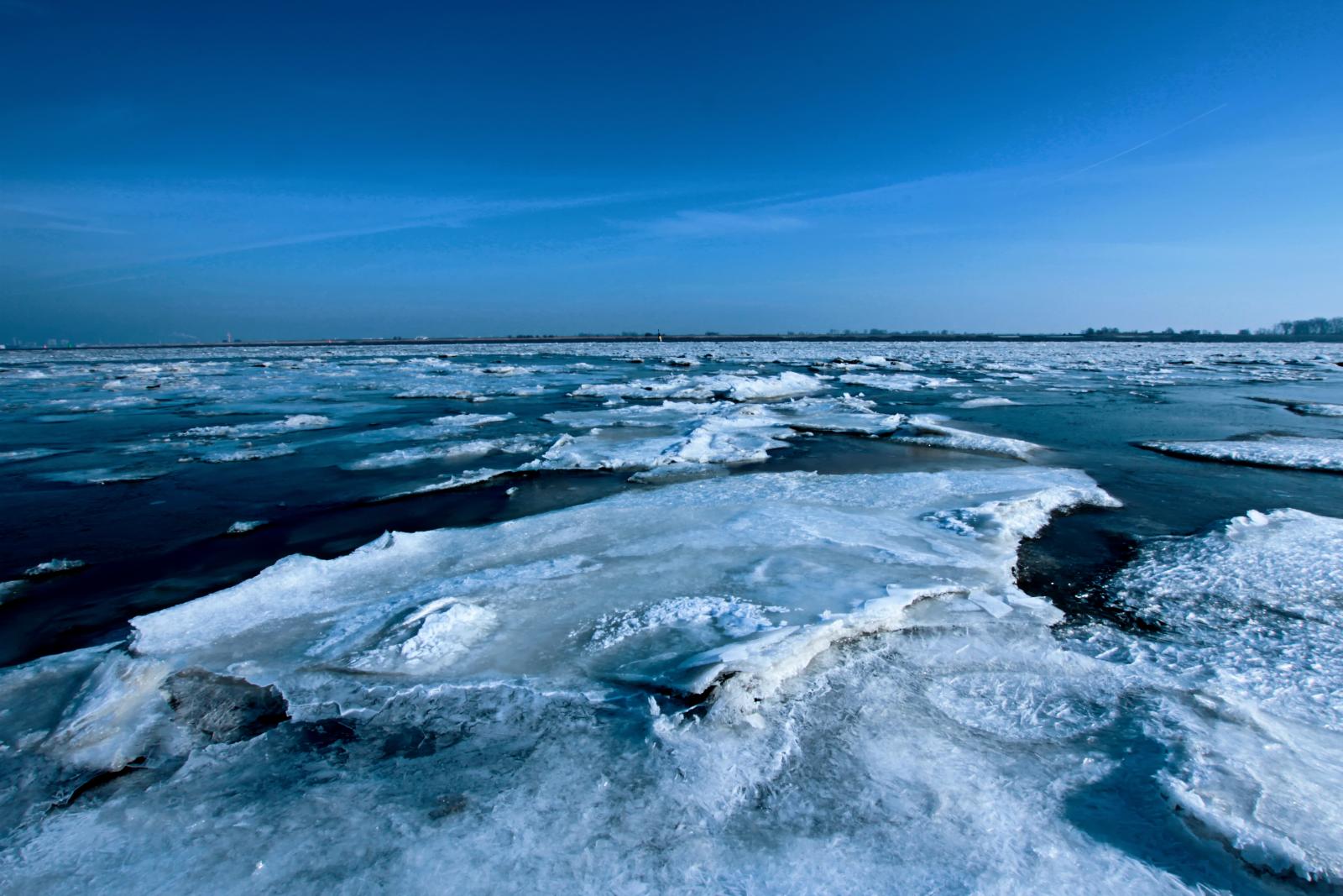
Weser-Antartica

black ice

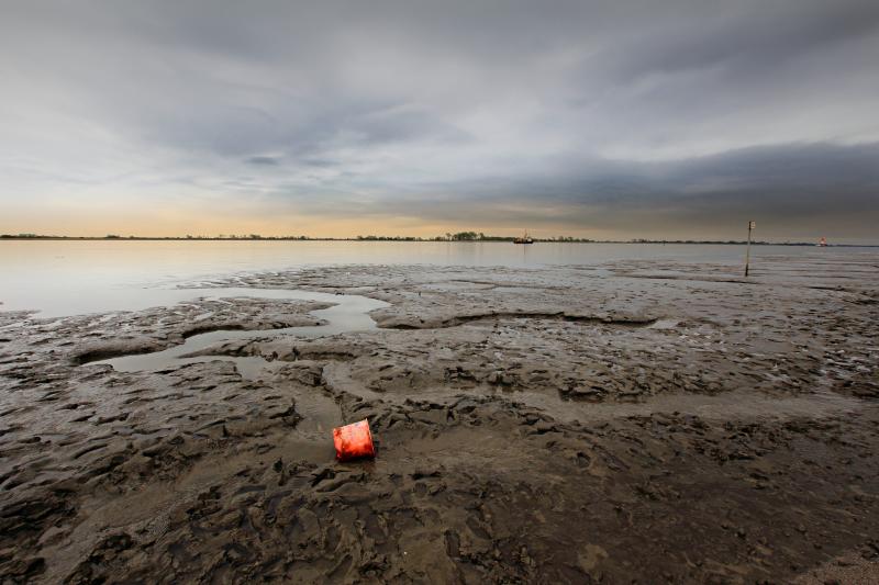
desolate playground
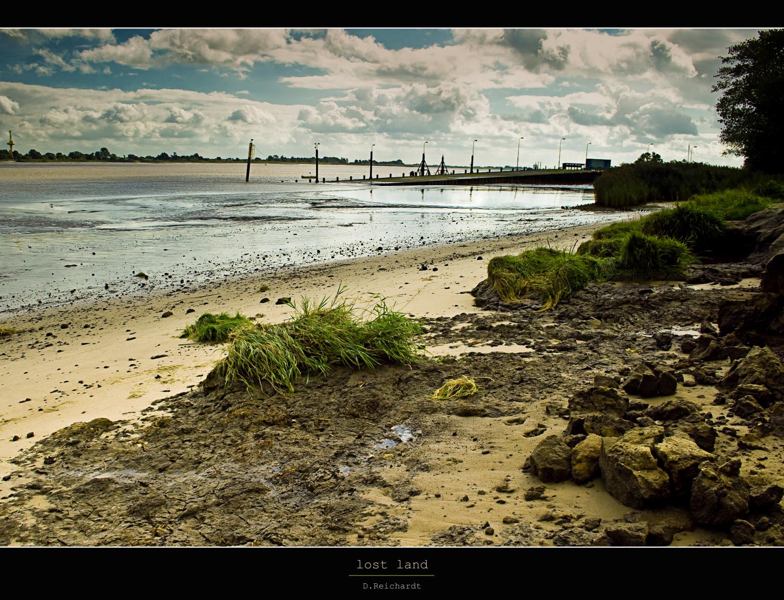
lost land

behind the dike
forget about it ...
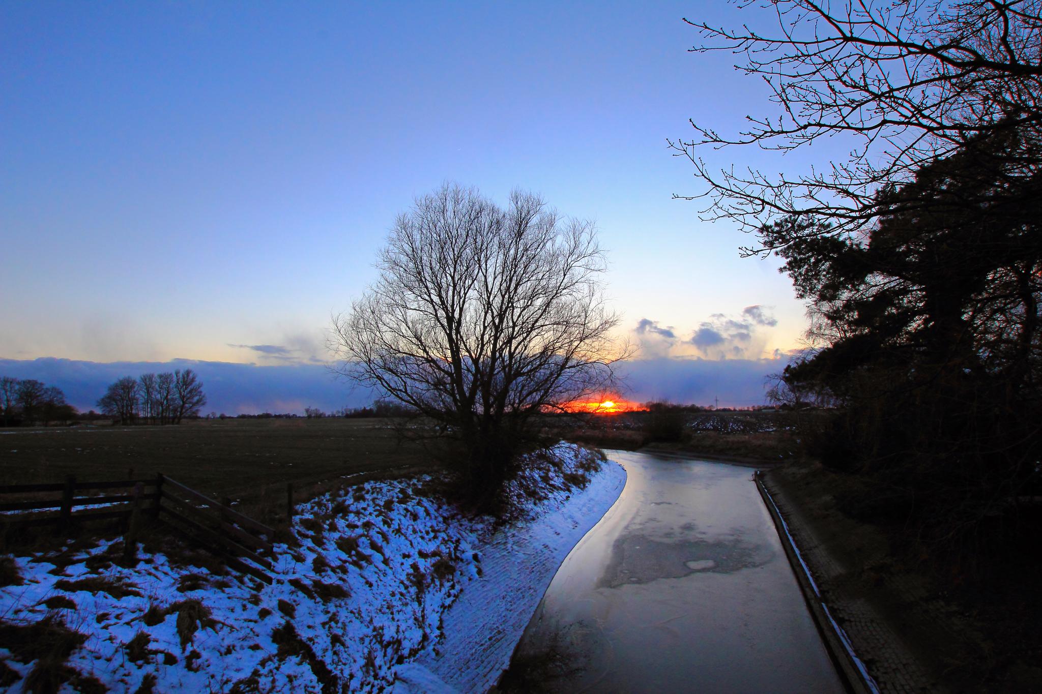
evening in the north

old and young / generations

living alone

nothern blue
weather wrap
autumn migration
grey day

"summer"

motion-capture
Topographic Map of Stadland, Germany
Find elevation by address:

Places in Stadland, Germany:
Places near Stadland, Germany:
Brake
Oldenburger Heerstraße 31, Brake (Unterweser), Germany
Meyershof
Sandstedt
Schwingenburg 10, Loxstedt, Germany
Wurthfleth
Am Deich 12
Sandberg 15, Loxstedt, Germany
Stotelermoor
Elsfleth
Rekum
Bunker Valentin
Wehrder 18, Elsfleth, Germany
Berne
Schwanewede
Blumenthal
Wulsbüttel
Warflether Helmer 2
Warfleth
Birkenhofstraße 10, Schwanewede, Germany
Recent Searches:
- Elevation of Corso Fratelli Cairoli, 35, Macerata MC, Italy
- Elevation of Tallevast Rd, Sarasota, FL, USA
- Elevation of 4th St E, Sonoma, CA, USA
- Elevation of Black Hollow Rd, Pennsdale, PA, USA
- Elevation of Oakland Ave, Williamsport, PA, USA
- Elevation of Pedrógão Grande, Portugal
- Elevation of Klee Dr, Martinsburg, WV, USA
- Elevation of Via Roma, Pieranica CR, Italy
- Elevation of Tavkvetili Mountain, Georgia
- Elevation of Hartfords Bluff Cir, Mt Pleasant, SC, USA