Elevation of Wehrder 18, Elsfleth, Germany
Location: Germany > Lower Saxony > Elsfleth >
Longitude: 8.44354
Latitude: 53.21172
Elevation: 0m / 0feet
Barometric Pressure: 101KPa
Elevation Map:
Satellite Map:
Related Photos:

Dor Beetle
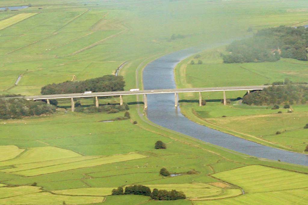
Rundflug über Oldenburg 283
Der Vogel - The Bird

Abbey III

motion-capture

water lily

Cadillac Man

Mr. Tattoo
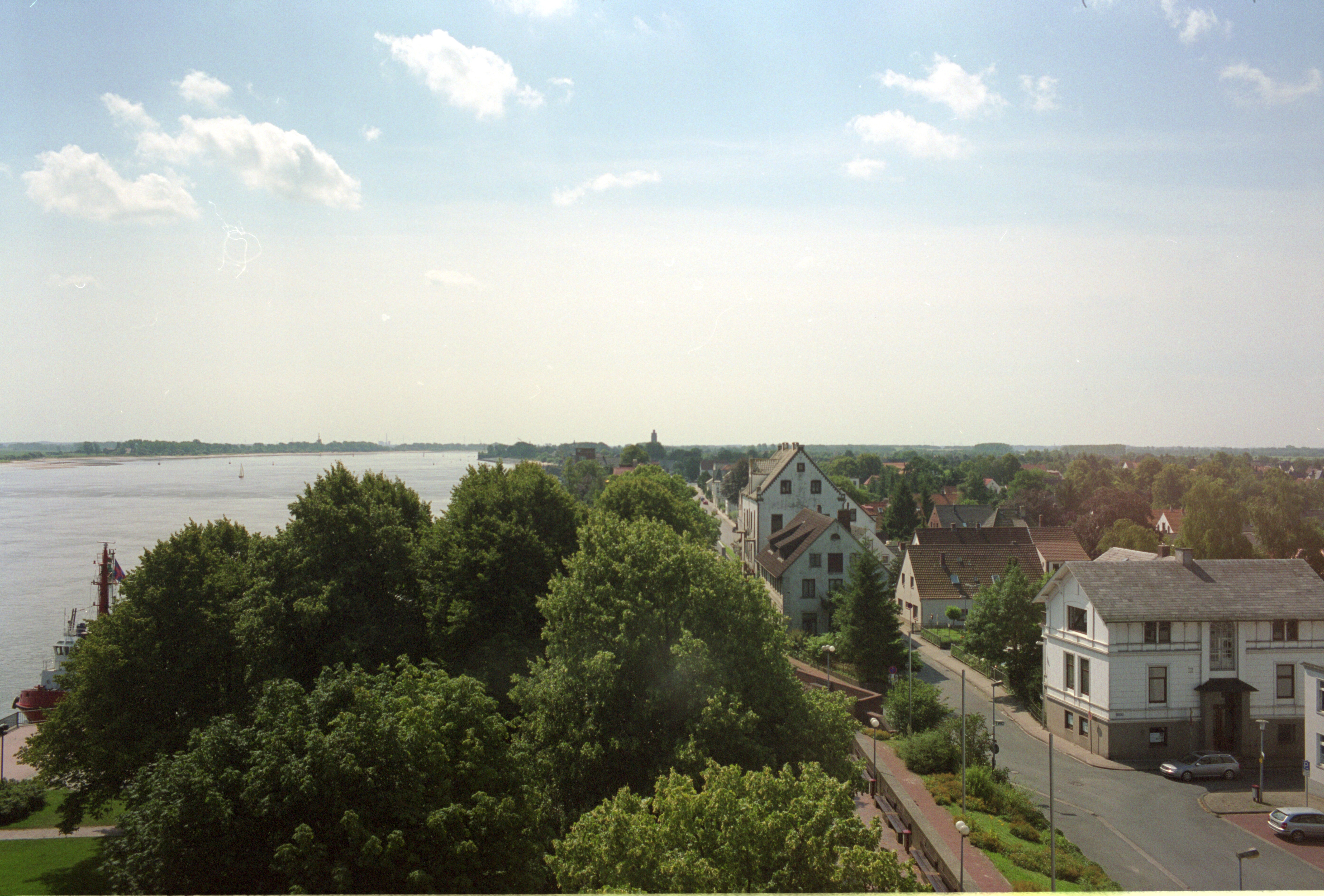
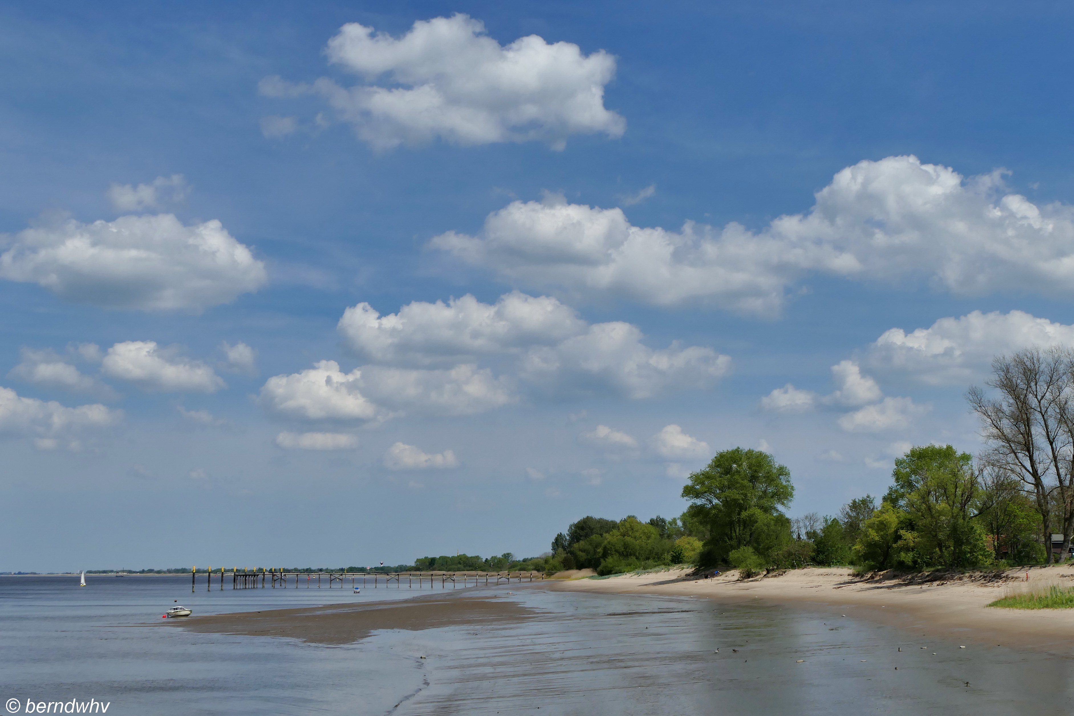
Brake, Unterweser

Public viewing

Fettraffinerie Brake

View to Aspire

ducks eye view

Im #Wittemoor
Da bin ich zu Haus

Ammerländer Landschaft bei Rastede / Landkreis Ammerland
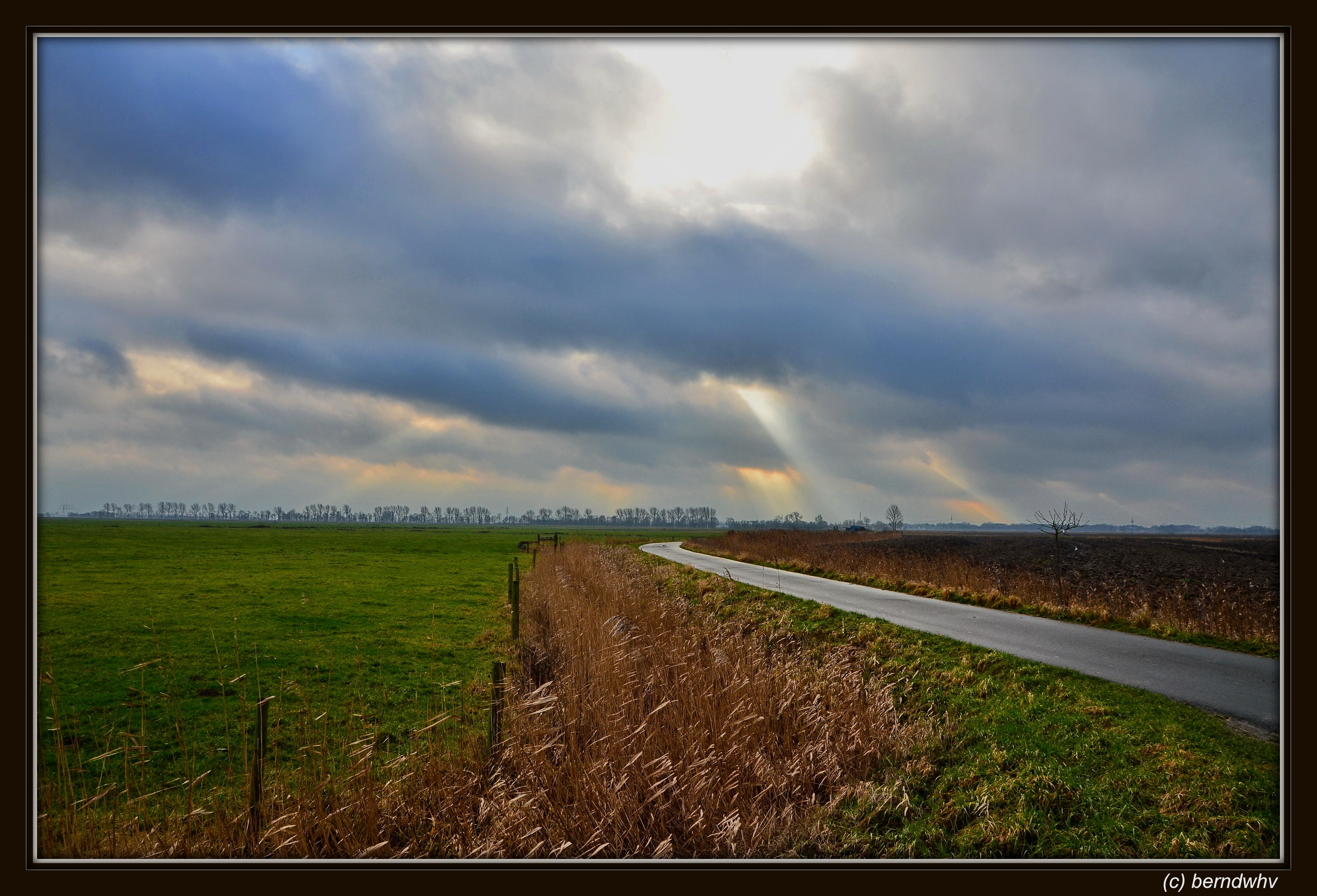
Dunkle Jahreszeit
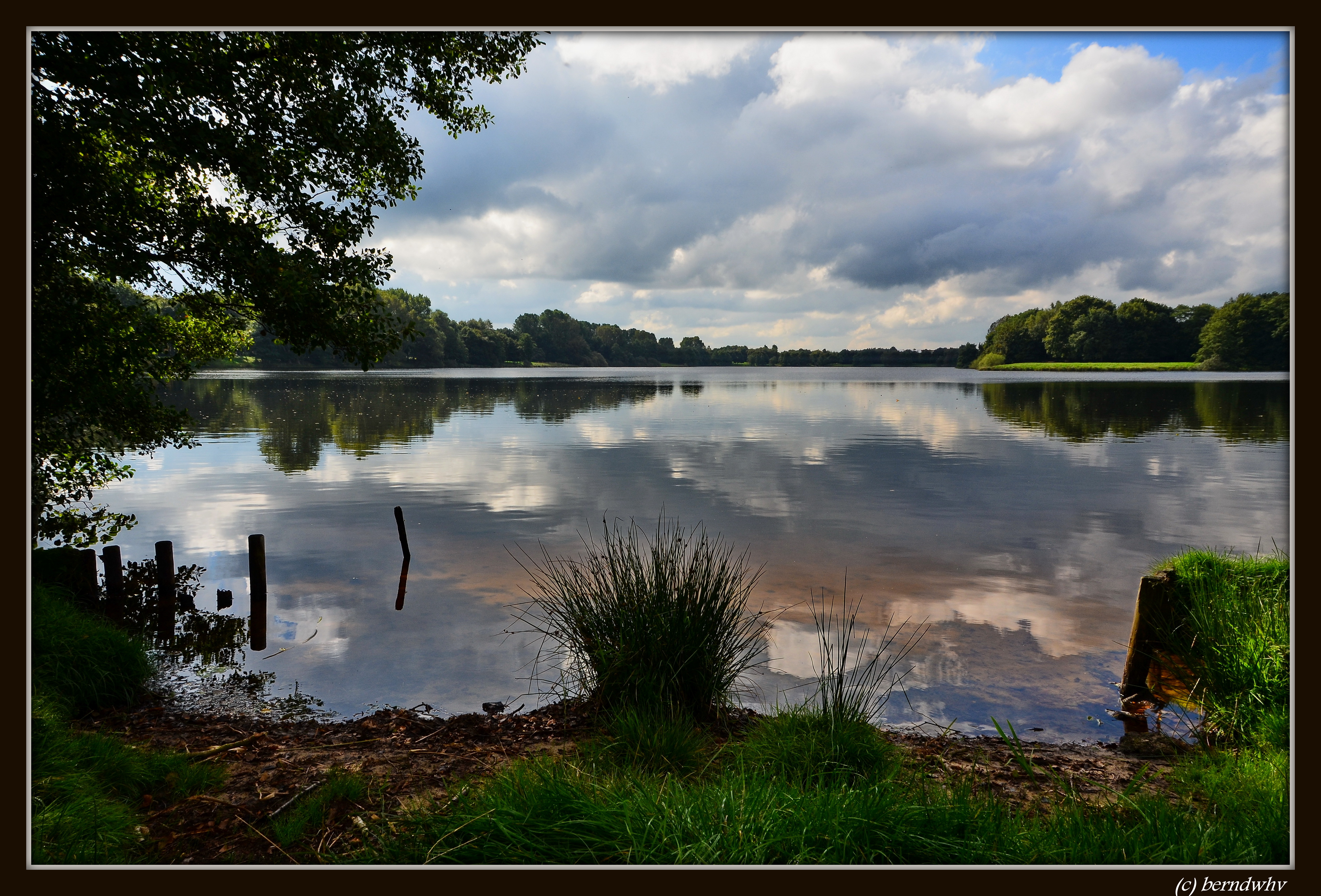
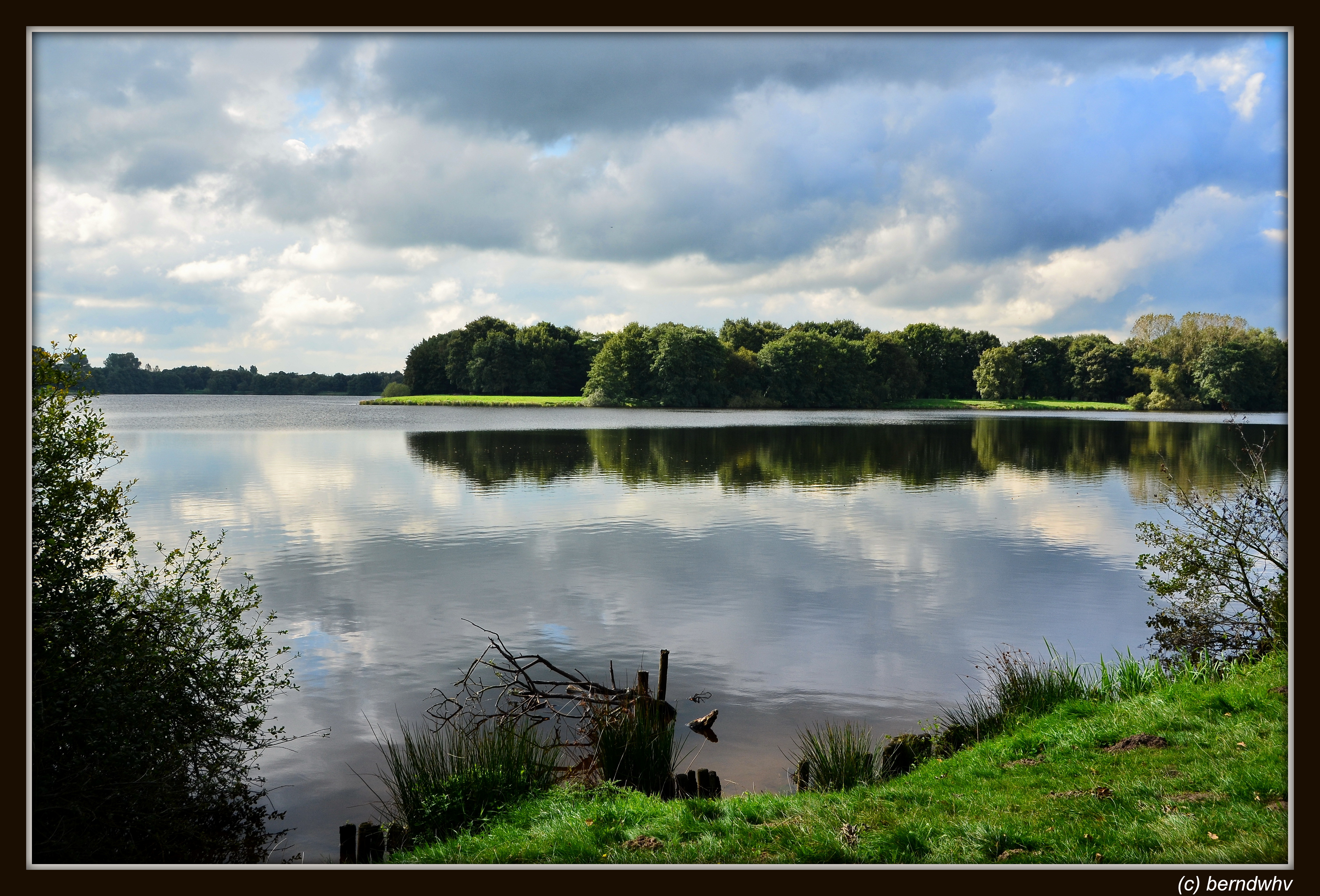
Der Tweelbäker See / Oldenburg

Schlosspark Rastede

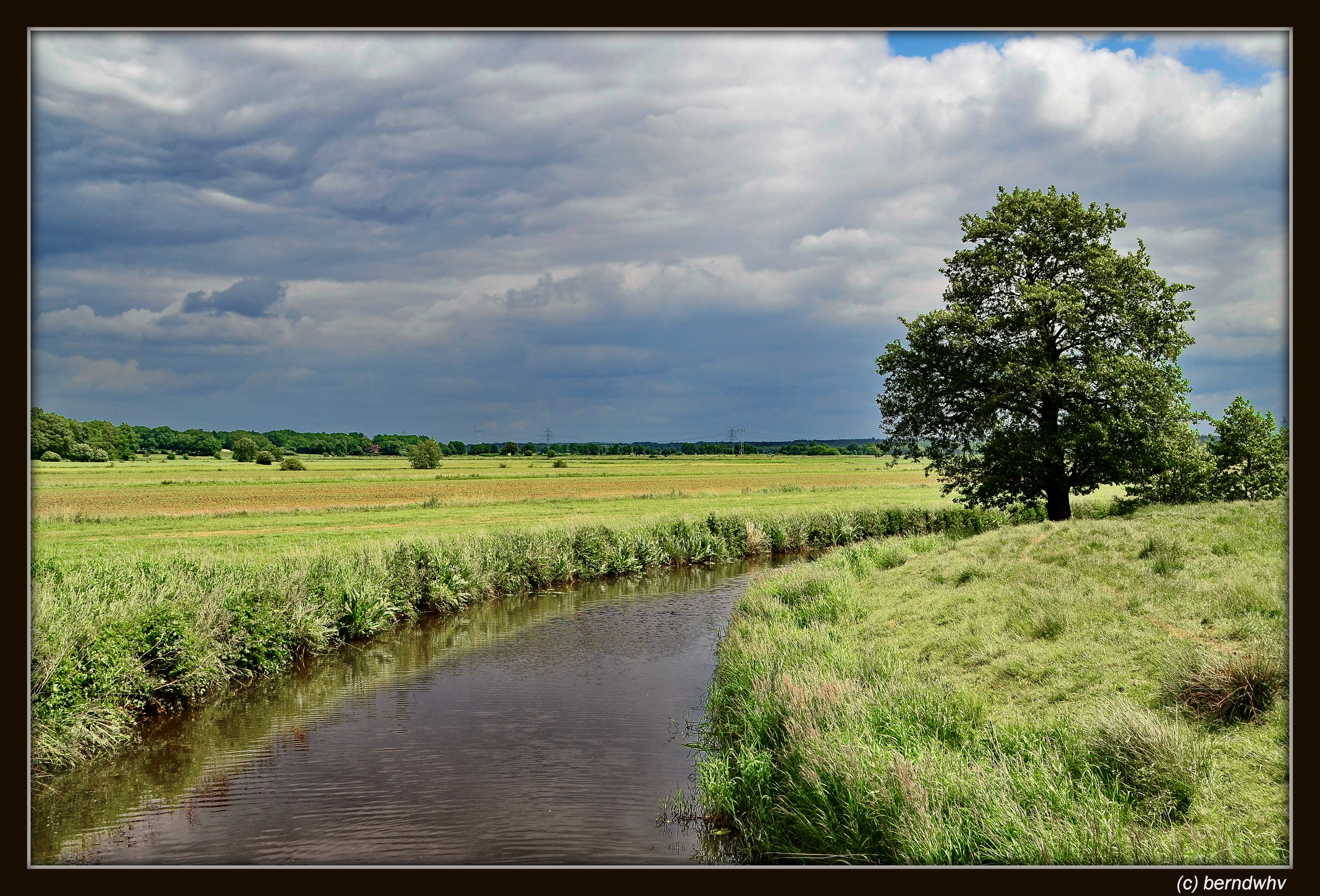
Landschaft bei Altendorf / Landkreis Wesermarsch

Auf der Weserinsel Harriersand
Aschwarder Flutgraben bei Uthlede / Landkreis Cuxhaven

20110327_1432--DSLR-A850_210 mm_02711
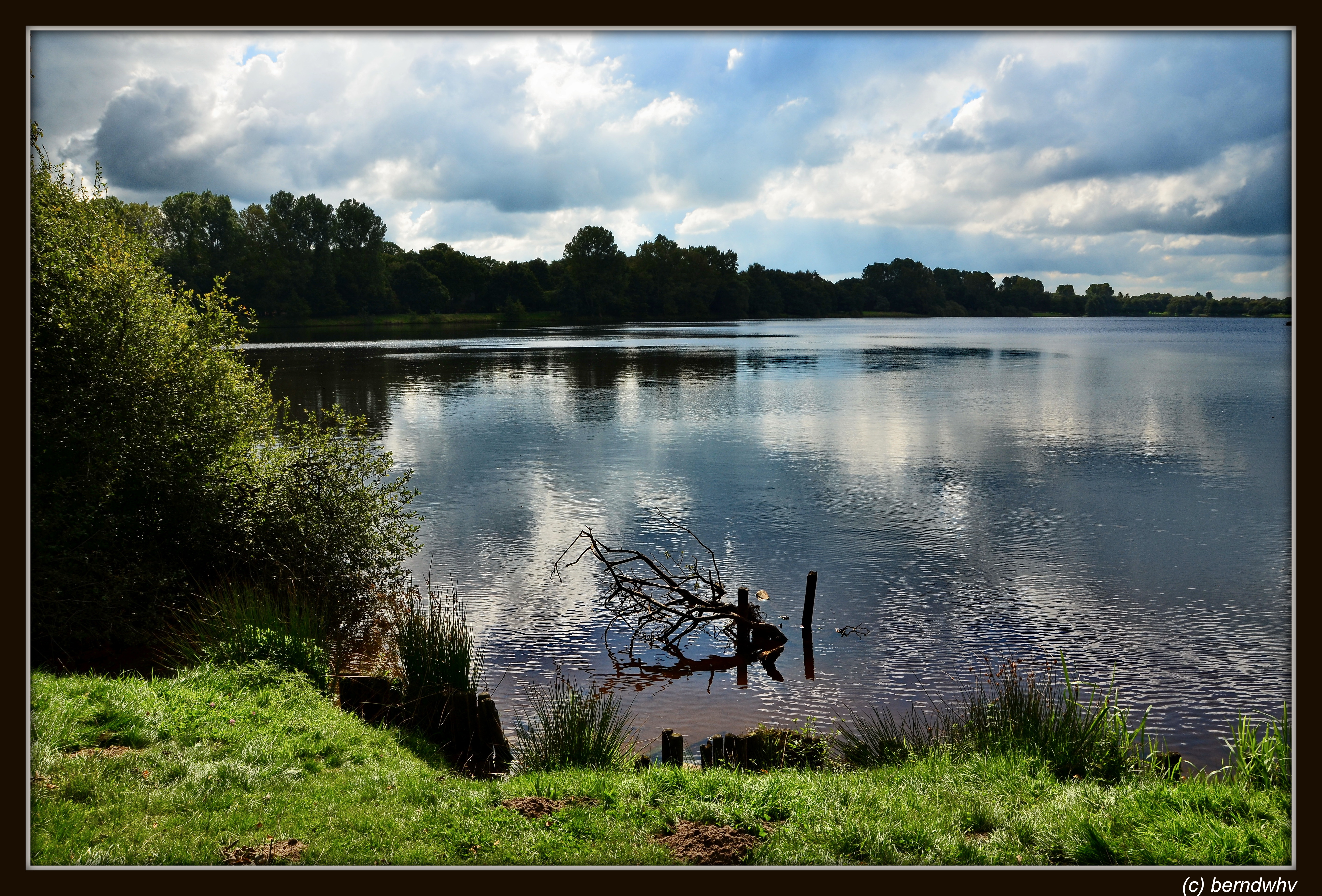
Der Tweelbäker See / Oldenburg
An der Weser / Insel Harriersand
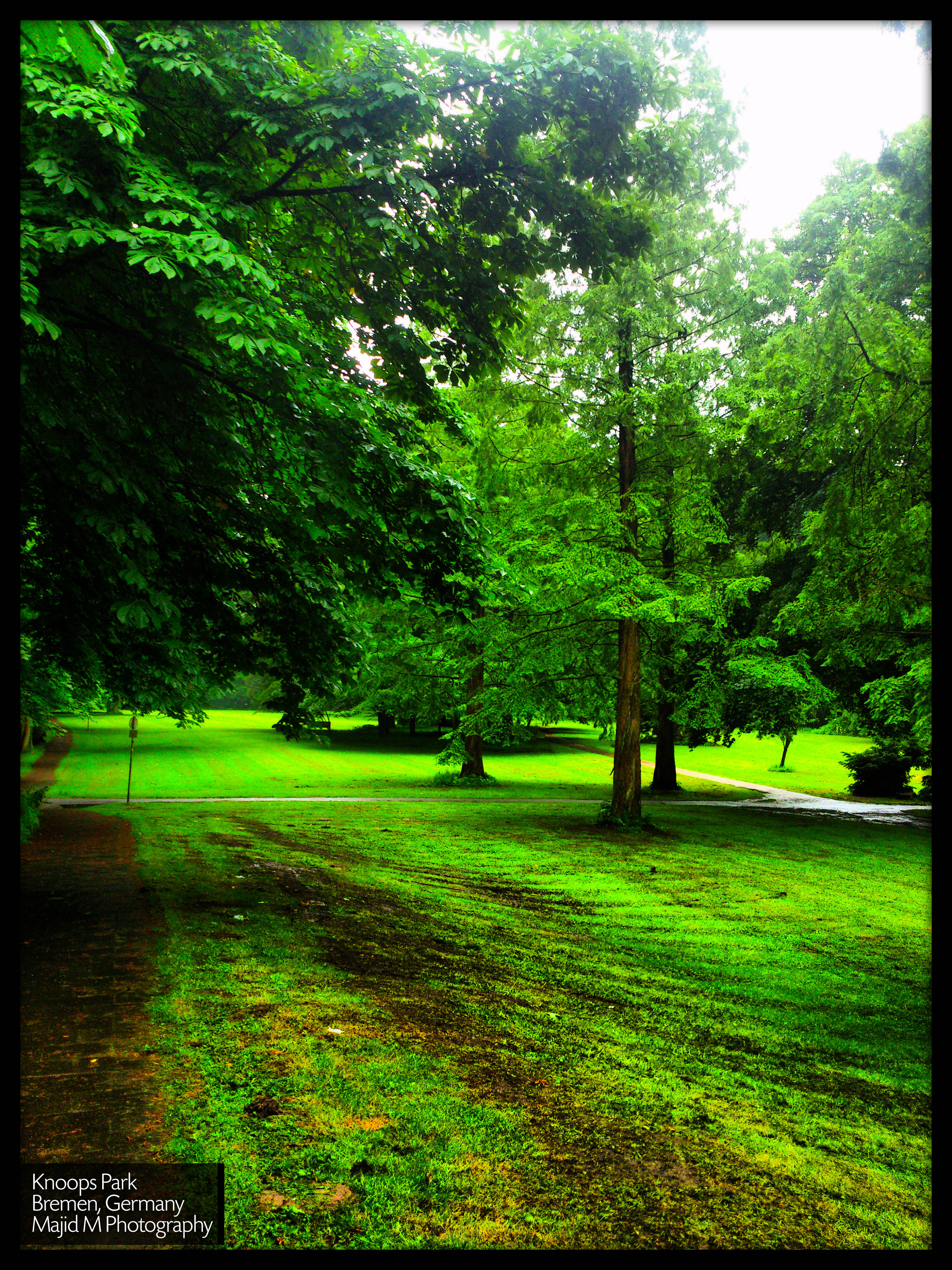
Knoops Park on 28 May

weserpano3 (GPS)
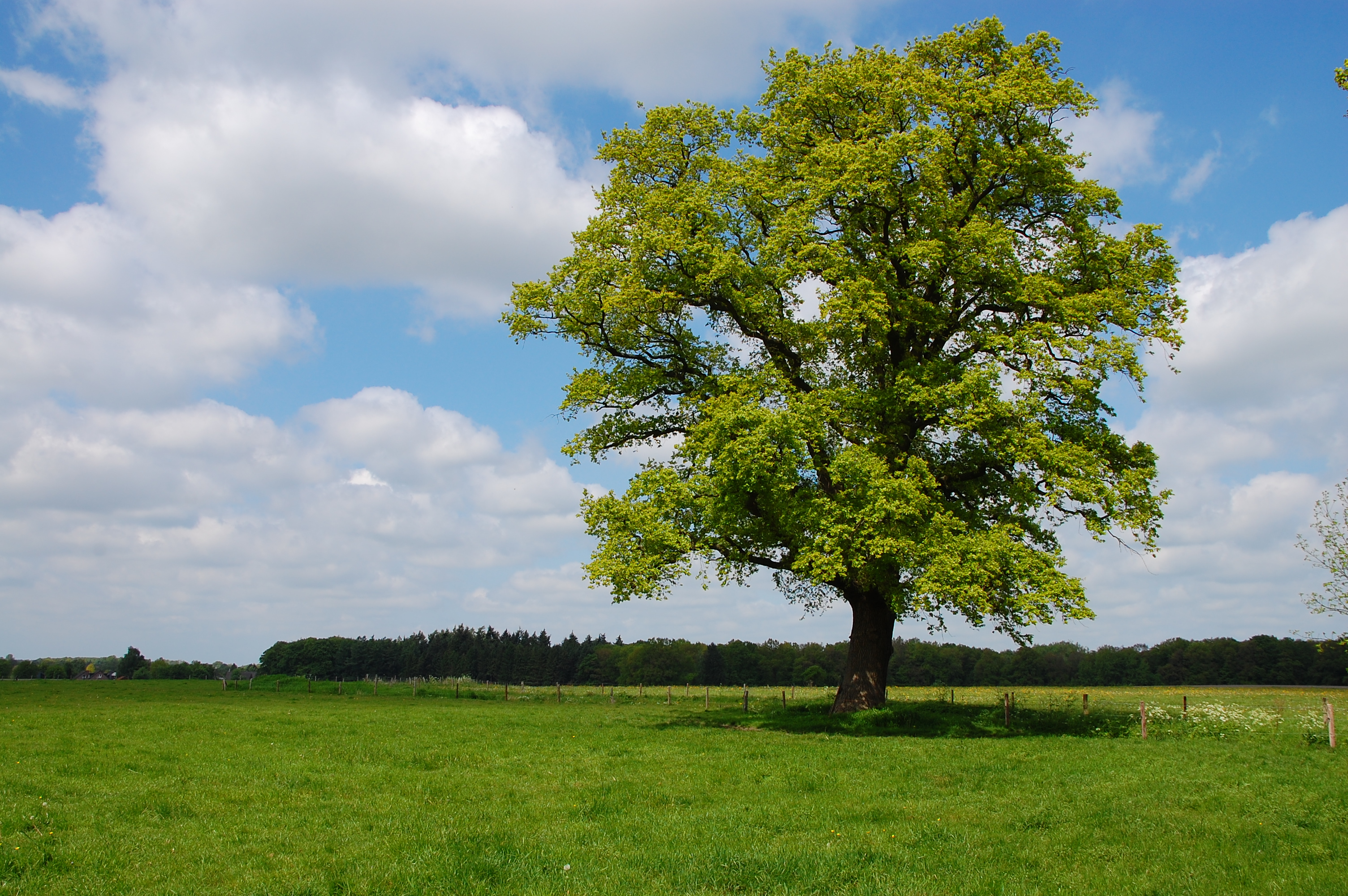
stolzer Baum
Der Tweelbäker See / Oldenburg

Somewhere over......
Oldenburger Sonnenuntergang IV
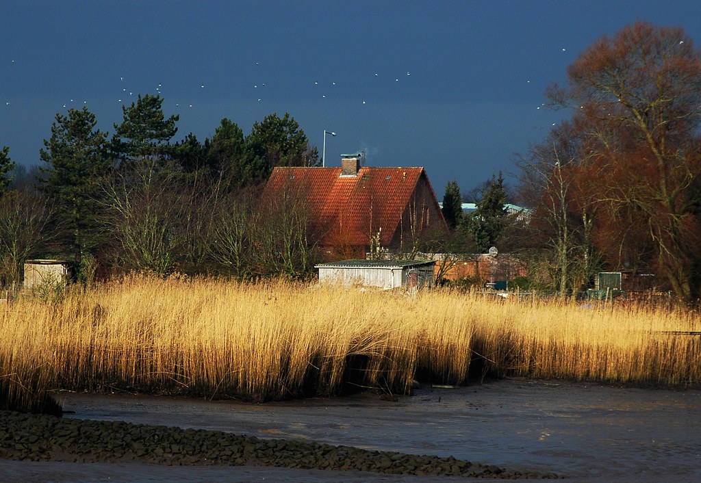
Schlick oder watt?

misty alley
Topographic Map of Wehrder 18, Elsfleth, Germany
Find elevation by address:

Places near Wehrder 18, Elsfleth, Germany:
Elsfleth
Berne
Bunker Valentin
Rekum
Warfleth
Hiddigwardermoor
Brookstraße 18, Berne, Germany
Warflether Helmer 2
Hude
Blumenthal
Mühlenstraße 1, Bremen, Germany
Blumenthal
Schwanewede
Fährer Flur 13e
Birkenhofstraße 10, Schwanewede, Germany
Eggestedt
Bremen-vegesack
Friedrich-Humbert-Straße, Bremen, Germany
Grohn
Jacobs University Irc
Recent Searches:
- Elevation of Lytham Ln, Katy, TX, USA
- Elevation of Tater Hill, Oklahoma, USA
- Elevation of NY-, Friendship, NY, USA
- Elevation of 64 Danakas Dr, Winnipeg, MB R2C 5N7, Canada
- Elevation of 4 Vale Rd, Sheffield S3 9QX, UK
- Elevation of Keene Point Drive, Keene Point Dr, Grant, AL, USA
- Elevation of State St, Zanesville, OH, USA
- Elevation of Austin Stone Dr, Haslet, TX, USA
- Elevation of Bydgoszcz, Poland
- Elevation of Bydgoszcz, Poland