Elevation of St Theresa Catholic Church, Volcano Hwy, Mountain View, HI, USA
Location: United States > Hawaii > Hawaii County > Mountain View >
Longitude: -155.10852
Latitude: 19.5490229
Elevation: 458m / 1503feet
Barometric Pressure: 96KPa
Elevation Map:
Satellite Map:
Related Photos:

Oblique view, Kurtistown Jōdo Mission
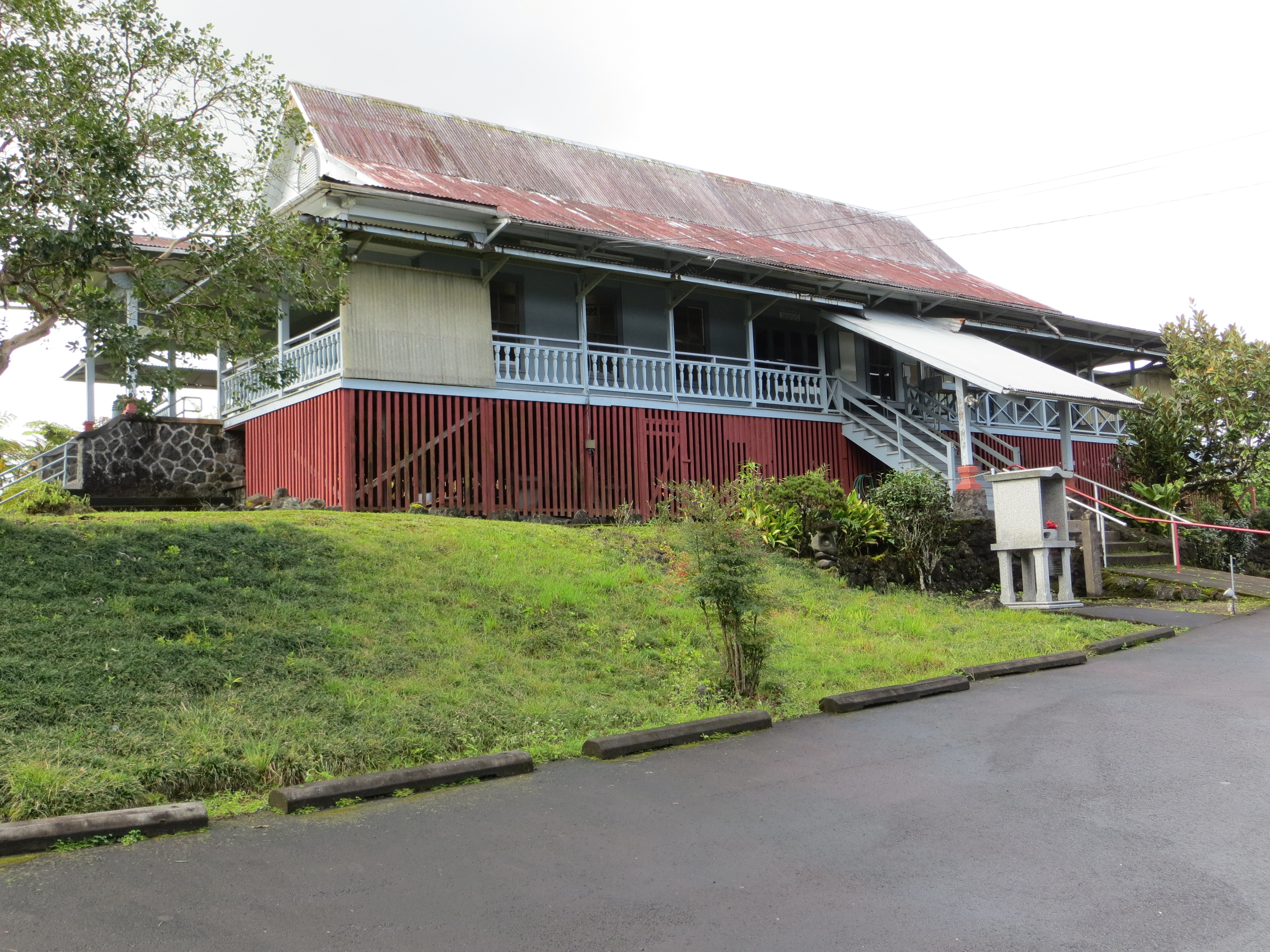
Parking lot view, Kurtistown Jōdo Mission

Sunup on a snowy Mauna Kea from Mountain View B&B, Hawaii
HW7428VF2_4929.JPG
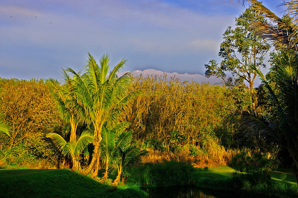
Mauna Kea in early morning light from Mountain View, Hawaii
HW6981VF2_4482.JPG

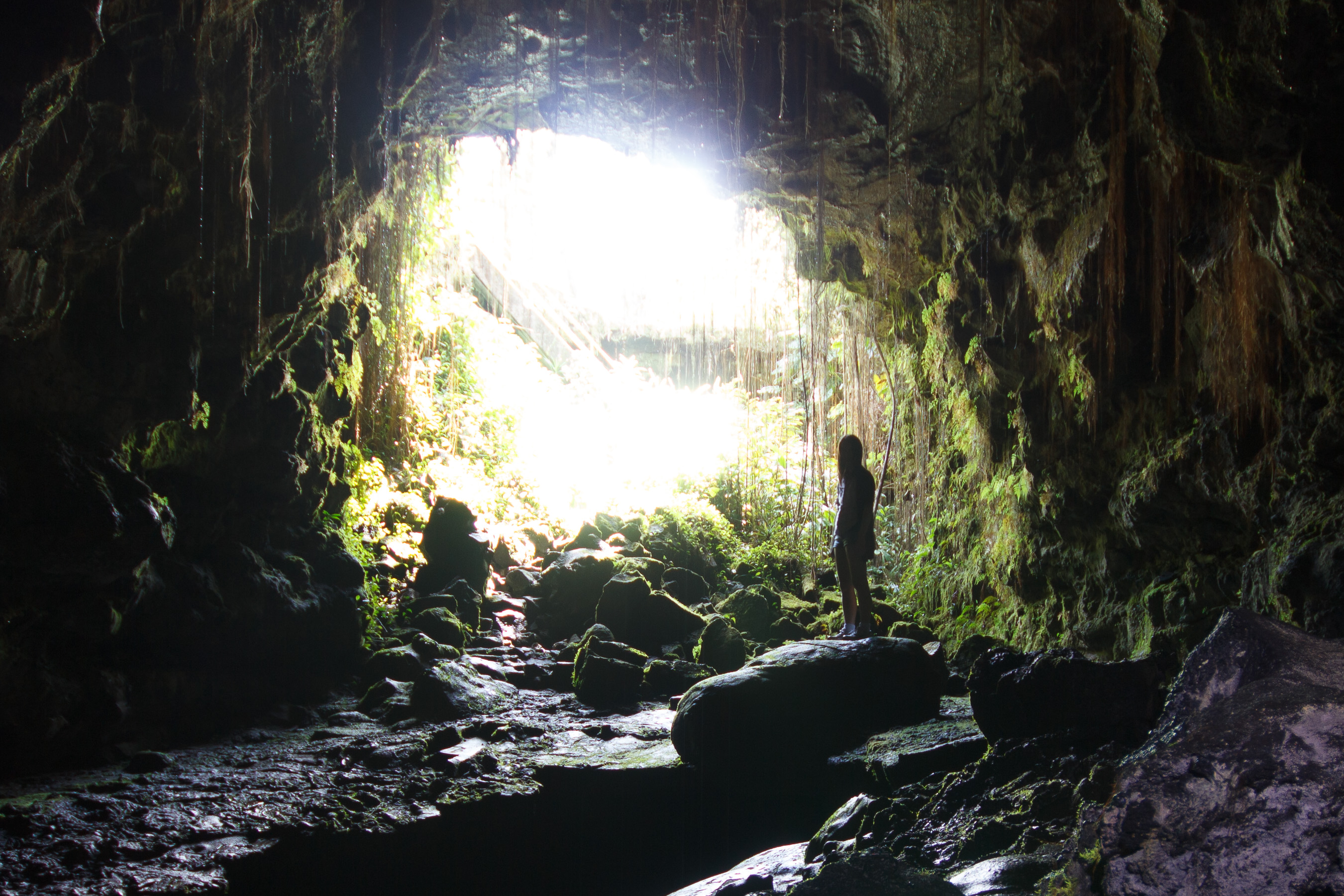
view from inside lava tube
HW7022VF2_4523.JPG
HW4394IMG_1757 Akatsuka Orchid Gardens.JPG

HW6979VF2_4480.JPG

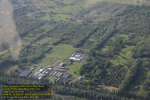
The strip
0069-Big Island 2014-M14_2467
HW7021VF2_4522.JPG

Tiny cave spider
HW7018VF2_4519.JPG
HW7017VF2_4518.JPG
HW7020VF2_4521.JPG

We can pickle that
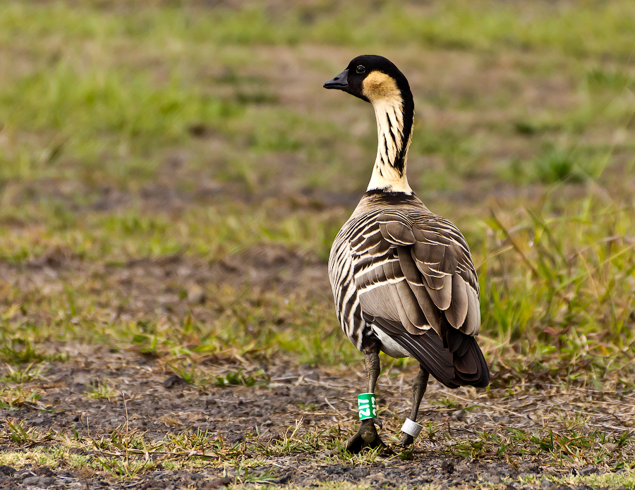
Nēnē goose.
HW7493VF2_4994.JPG
Hawaiian Highway
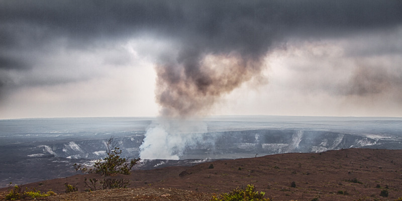
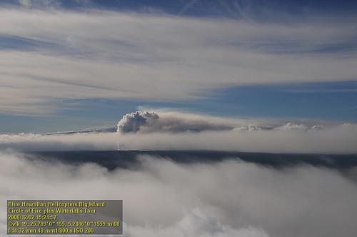
Kilauea Volcano

Hawaii, Big Island - 3

God Beams

Hawaii, Big Island - 2
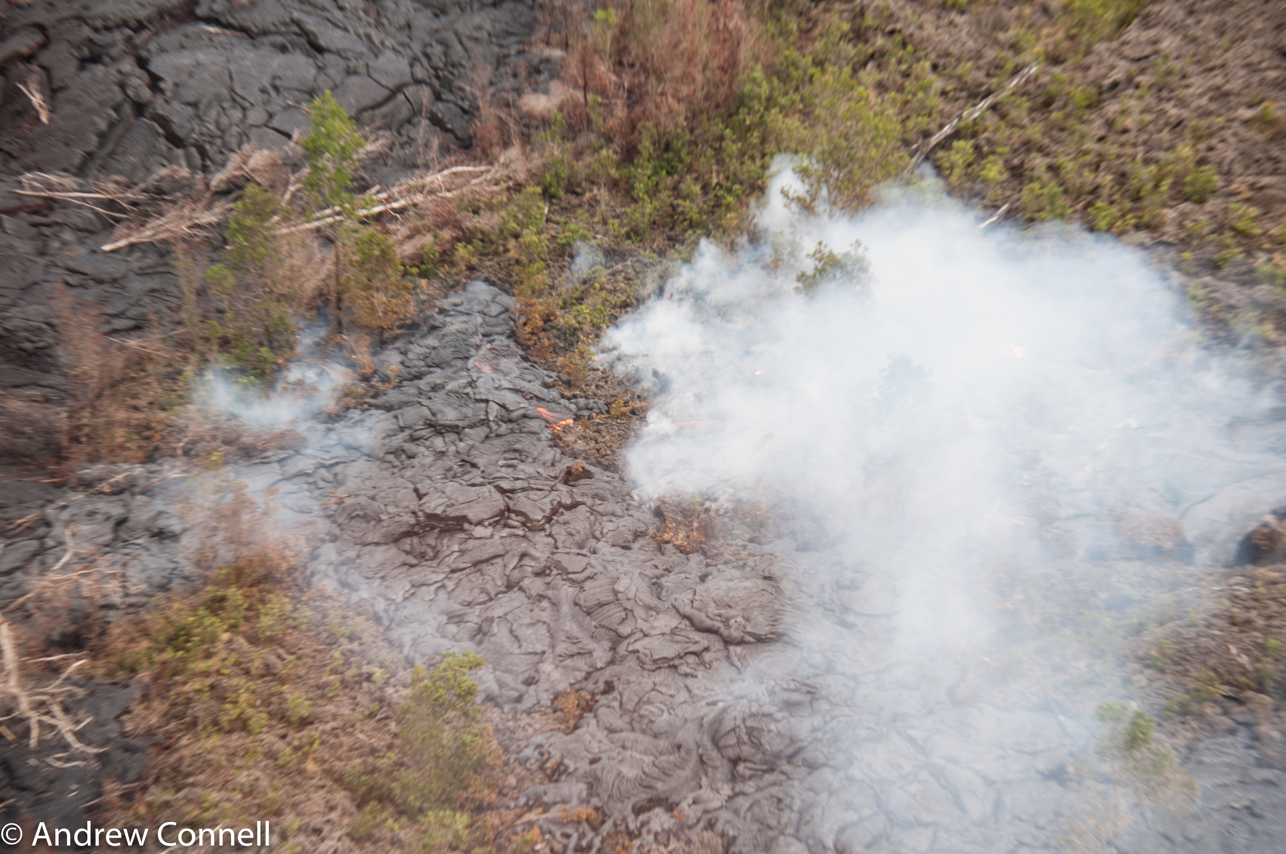
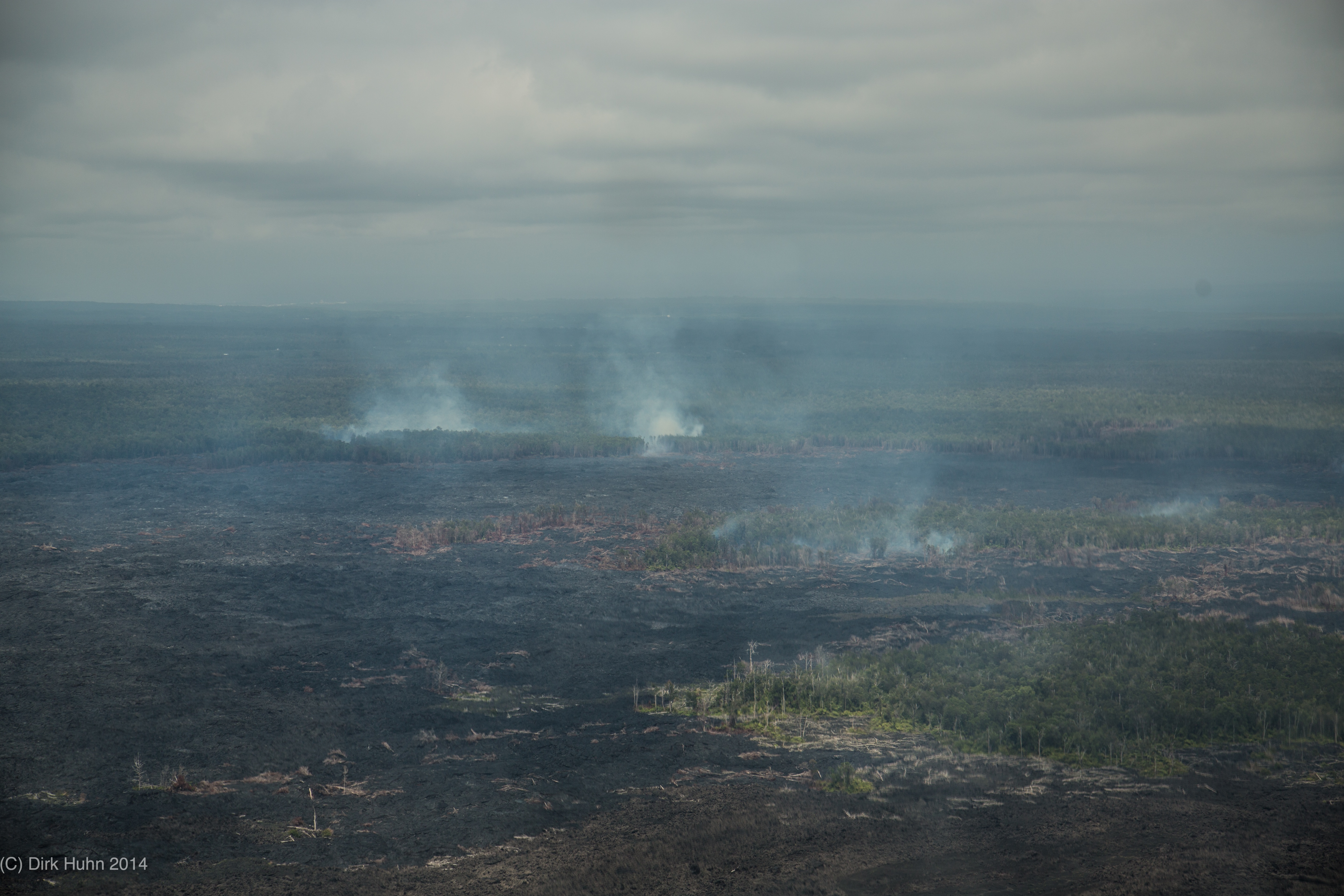
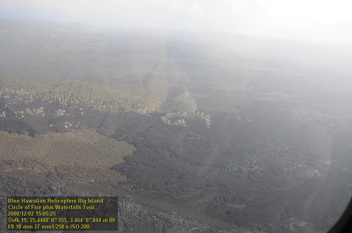
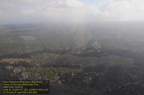
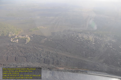
The current active lava flow as it moves into a forest. It's moved 2 miles in the last 8 months.

Surprise!
Aloha Wedding Tent

Kaumana Cave
20130321-IMG_9974

⛅️

Hilo-2
Kaumana Cave
Vibrations blurred photo
20130321-IMG_9979

Low clouds
HW7481VF2_4982.JPG

On the way to Hawaii Volcanoes National Park. Took a detour at Homomu and this is what we found. Breathtaking.
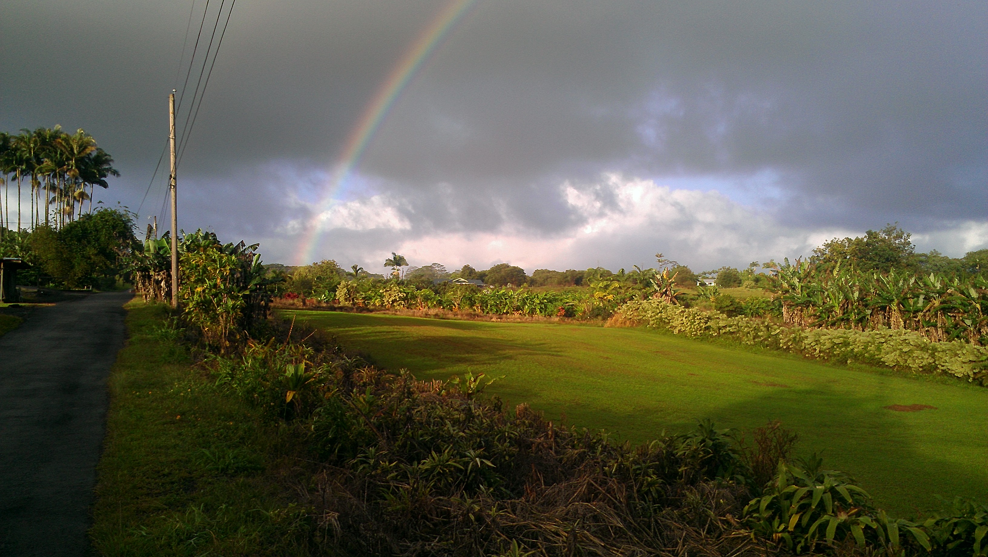
Rainbow 2012
Topographic Map of St Theresa Catholic Church, Volcano Hwy, Mountain View, HI, USA
Find elevation by address:

Places near St Theresa Catholic Church, Volcano Hwy, Mountain View, HI, USA:
18-1344 Old Volcano Rd
18-1373 Nichols Rd
Mountain View
18-3836 S Pszyk Rd
Puna
South Kopua Road
18-7841 Peleke Rd
18-7854 Leonaka Rd
18-4259 N Pszyk Rd #121d
18-4259 N Pszyk Rd #121d
18-4259 N Pszyk Rd #121d
113535 Pikake St
11-3535 Pikake St
17-4047 Enos Rd
113517 Pikake St
11-3517 Pikake St
Road 1 Uhini Ana
17-4032 Enos Rd
16-1213 Uhini Ana Rd
18-4182 N Peck Rd
Recent Searches:
- Elevation of Beall Road, Beall Rd, Florida, USA
- Elevation of Leguwa, Nepal
- Elevation of County Rd, Enterprise, AL, USA
- Elevation of Kolchuginsky District, Vladimir Oblast, Russia
- Elevation of Shustino, Vladimir Oblast, Russia
- Elevation of Lampiasi St, Sarasota, FL, USA
- Elevation of Elwyn Dr, Roanoke Rapids, NC, USA
- Elevation of Congressional Dr, Stevensville, MD, USA
- Elevation of Bellview Rd, McLean, VA, USA
- Elevation of Stage Island Rd, Chatham, MA, USA