Elevation of 18- Leonaka Rd, Mountain View, HI, USA
Location: United States > Hawaii > Hawaii County > Mountain View >
Longitude: -155.11483
Latitude: 19.5676699
Elevation: 464m / 1522feet
Barometric Pressure: 96KPa
Elevation Map:
Satellite Map:
Related Photos:

Palm Frond at dawn, Hawaii

Sunup on a snowy Mauna Kea from Mountain View B&B, Hawaii
HW7428VF2_4929.JPG

Kilauea Volcano at Sunset
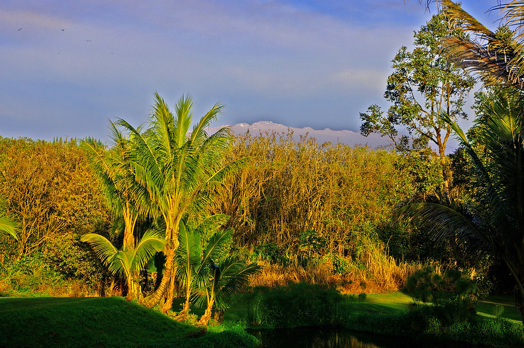
Mauna Kea in early morning light from Mountain View, Hawaii
HW6981VF2_4482.JPG
HW6969VF2_4470.JPG
HW7001VF2_4502.JPG
HW7561VF2_5062.JPG
Hawaiian Paradise Park

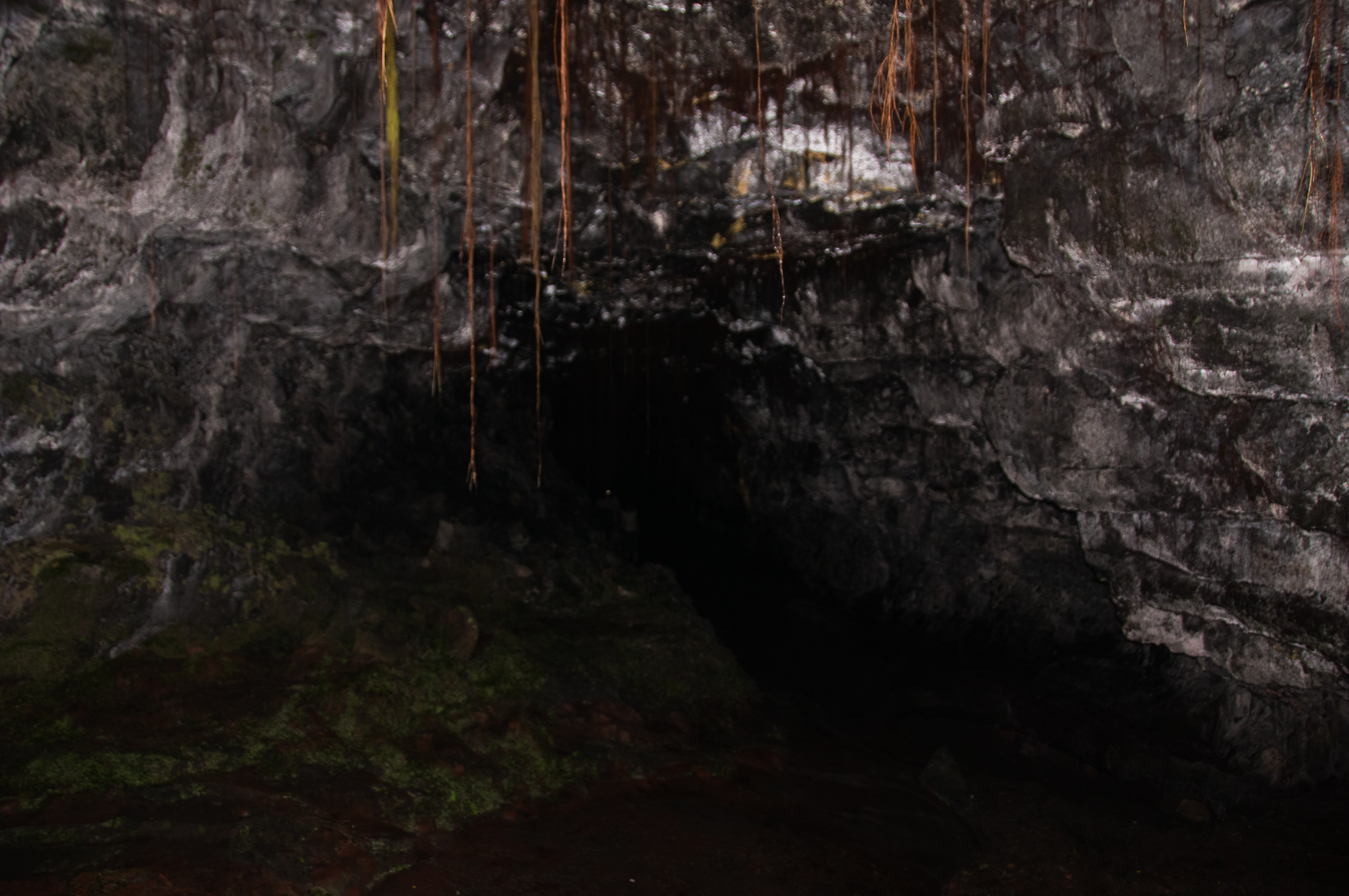
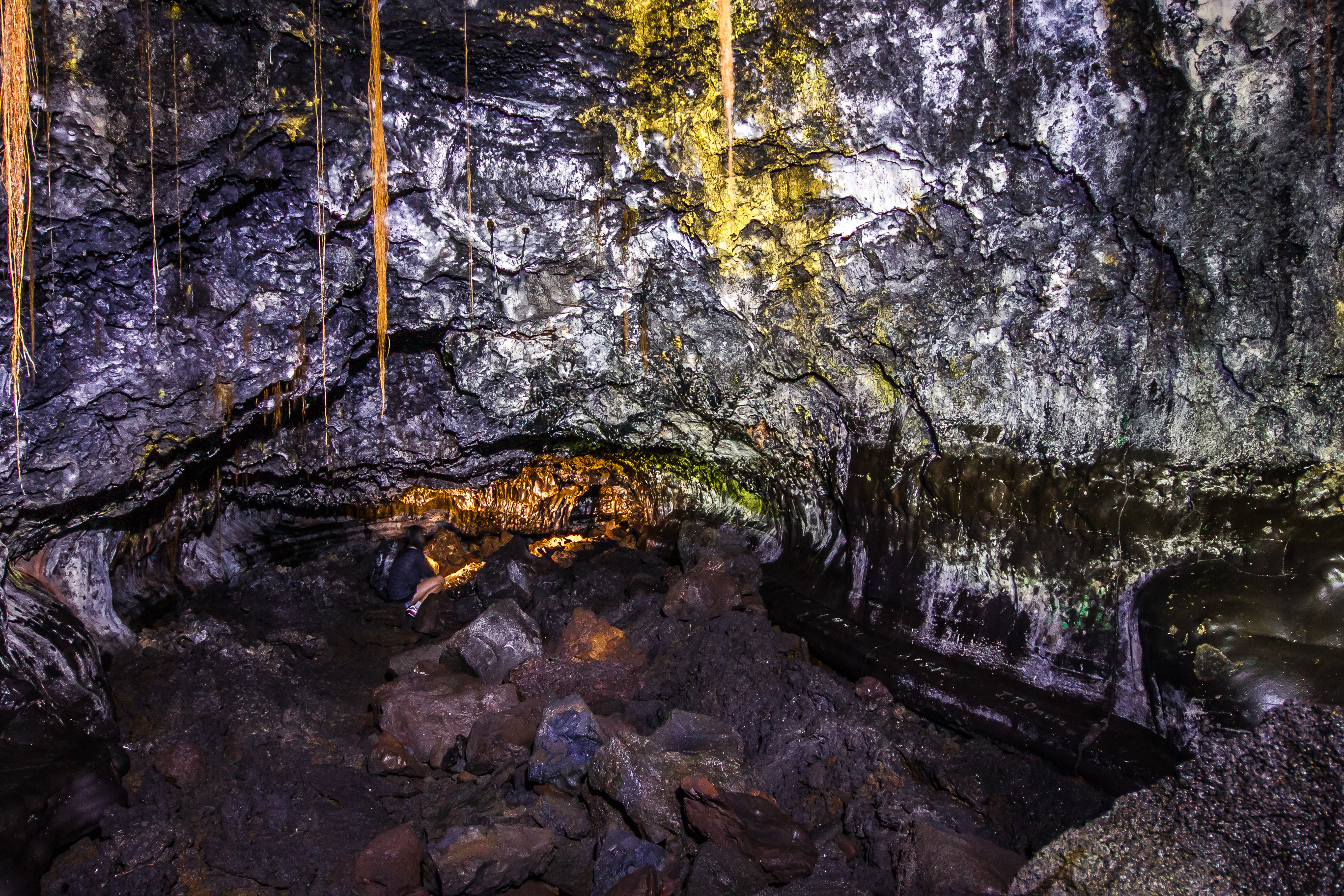
view from inside lava tube
HW7008VF2_4509.JPG
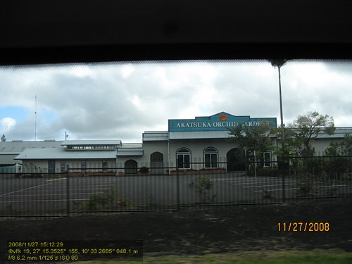
HW4394IMG_1757 Akatsuka Orchid Gardens.JPG

The strip

Oblique view, Kurtistown Jōdo Mission

Tiny cave spider

We can pickle that
HW7481VF2_4982.JPG
Hawaiian Highway
HW7479VF2_4980.JPG
HW7490VF2_4991.JPG

lost in the forest
HW6983VF2_4484.JPG
HW6973VF2_4474.JPG
HW6985VF2_4486.JPG
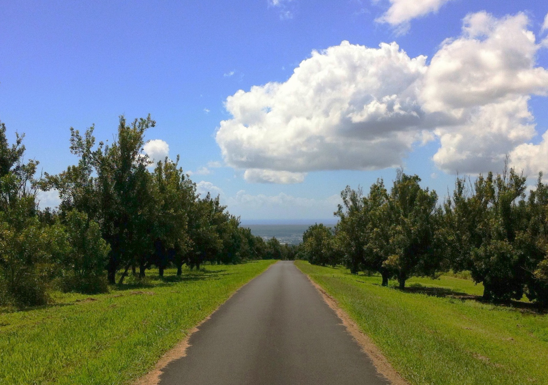
The Giant Macnut Forests above Puueo
Hawaii (10 of 24)
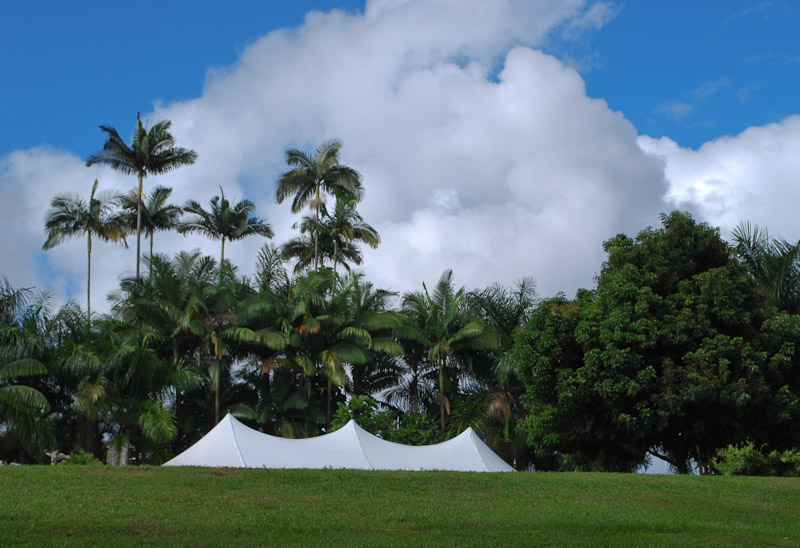
Aloha Wedding Tent
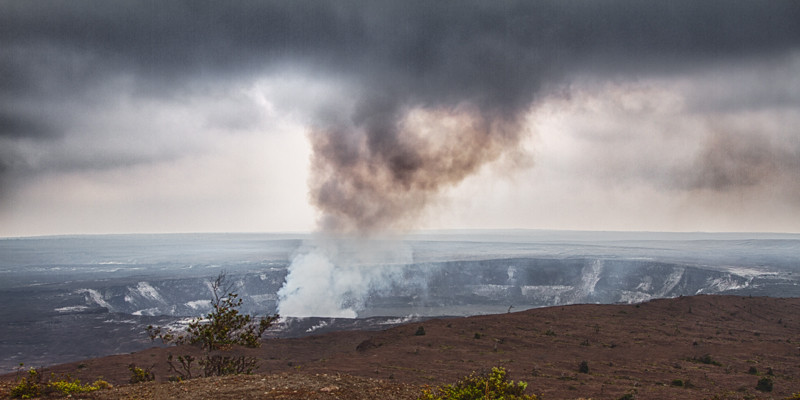
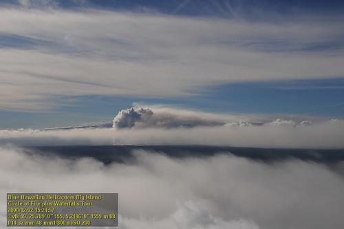
Kilauea Volcano

Kaumana Cave
20130321-IMG_9974

@ulagram catching a set. Also, it's the last day to enter the #BigNikonosContest for a chance to win a Nikonos IV with a 35mm and 80mm lens. I'll be selecting 10 finalists, @nikonos_project will choose the winner from them tomorrow. Nikon F, Provia 100,

Hawaii, Big Island - 3

⛅️

God Beams

Hawaii, Big Island - 2
Topographic Map of 18- Leonaka Rd, Mountain View, HI, USA
Find elevation by address:

Places near 18- Leonaka Rd, Mountain View, HI, USA:
18-7841 Peleke Rd
17-7934 N Kulani Rd
North Kulani Road
18-4259 N Pszyk Rd #121d
18-4259 N Pszyk Rd #121d
18-4259 N Pszyk Rd #121d
Mountain View
17-4047 Enos Rd
17-4032 Enos Rd
3 N Kulani Rd
17-4175
17-4137 Kukui Camp Rd
17-4707 S Rd
17-4707 S Rd
17 Kukui Camp Rd
17-4807 N Rd
17-4807 N Rd
17-4568 Huina Rd #19
17-4517 Huina Rd
17-4511 Huina Rd
Recent Searches:
- Elevation of Spaceport America, Co Rd A, Truth or Consequences, NM, USA
- Elevation of Warwick, RI, USA
- Elevation of Fern Rd, Whitmore, CA, USA
- Elevation of 62 Abbey St, Marshfield, MA, USA
- Elevation of Fernwood, Bradenton, FL, USA
- Elevation of Felindre, Swansea SA5 7LU, UK
- Elevation of Leyte Industrial Development Estate, Isabel, Leyte, Philippines
- Elevation of W Granada St, Tampa, FL, USA
- Elevation of Pykes Down, Ivybridge PL21 0BY, UK
- Elevation of Jalan Senandin, Lutong, Miri, Sarawak, Malaysia