Elevation of St Paul St, Burlington, VT, USA

Location: United States > Vermont > Chittenden County > Burlington > South End >

Longitude: -73.213626

Latitude: 44.4753438

Elevation: 55m / 180feet

Barometric Pressure: 101KPa

Elevation Map:

elevation map of St Paul St, Burlington, VT, USA

Satellite Map:

Satellite map of St Paul St, Burlington, VT, USA

Related Photos:

usa brick architecture burlington square iron vermont shadows cone balcony wroughtiron slate churchstreet sq roofline vt cones conical cityview bss 1894 nationalregisterofhistoricplaces 05401 nrhp greenmountainstate commercialblock churchstreetmarketplace 4story origamidon donshall burlingtonvermontusa cshd richardsonplace churchstreethistoricdistrict burlingtonslatesurvey brickcommercialblock 07292010 southwestroofline 09000915
Richardson Place (1894) – elaborate roofline
panorama memorial hand sony sailor held unkown rx100
The Unknown Sailor pano view
wood old blue autumn red sky usa cloud building tree green fall nature beautiful field grass weather museum clouds barn rural landscape outside countryside wooden scenery colorful vermont bright outdoor farm country farming rustic grain harvest scenic meadow sunny farmland foliage round restored 100 agriculture vacations barnyard agricultural topaz shelbourne farmyard agriculturalbuildings
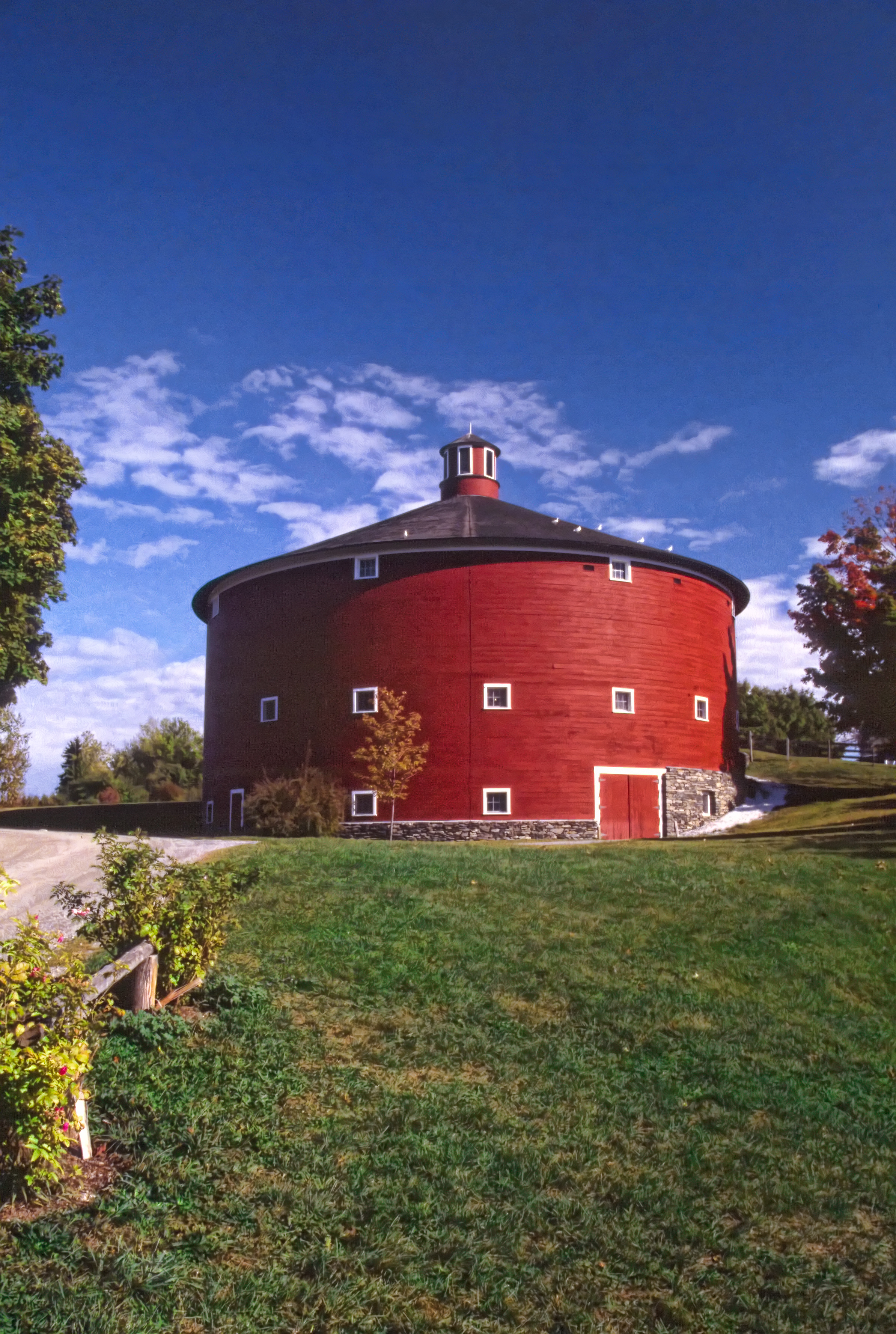
Round Barn, Shelbourne, VT
usa architecture square nhl vermont cows nps farm agriculture nationalparkservice sq vt lakechamplain shelburne 1866 giffordpinchot shelburnefarms landscapedesign nationalhistoriclandmark fredericklawolmsted cheddarcheese nationalregisterofhistoricplaces environmentaleducationcenter brownswiss nrhp superrich vermontmozartfestival chittendencounty foreststewardshipcouncil roberthendersonrobertson origamidon donshall shelburnevermontusa 01032001 greencertification lilavanderbiltwebb drwilliamsewardwebb sustainablymanagedwoodlands grassbaseddairy 80000330 08111980 exemplaryagriculturalarchitecturalandlandscapedesignachievements modelfarmandcountryestate 44°23′3169″n73°15′2604″w 44°23′3169″n 73°15′2604″w
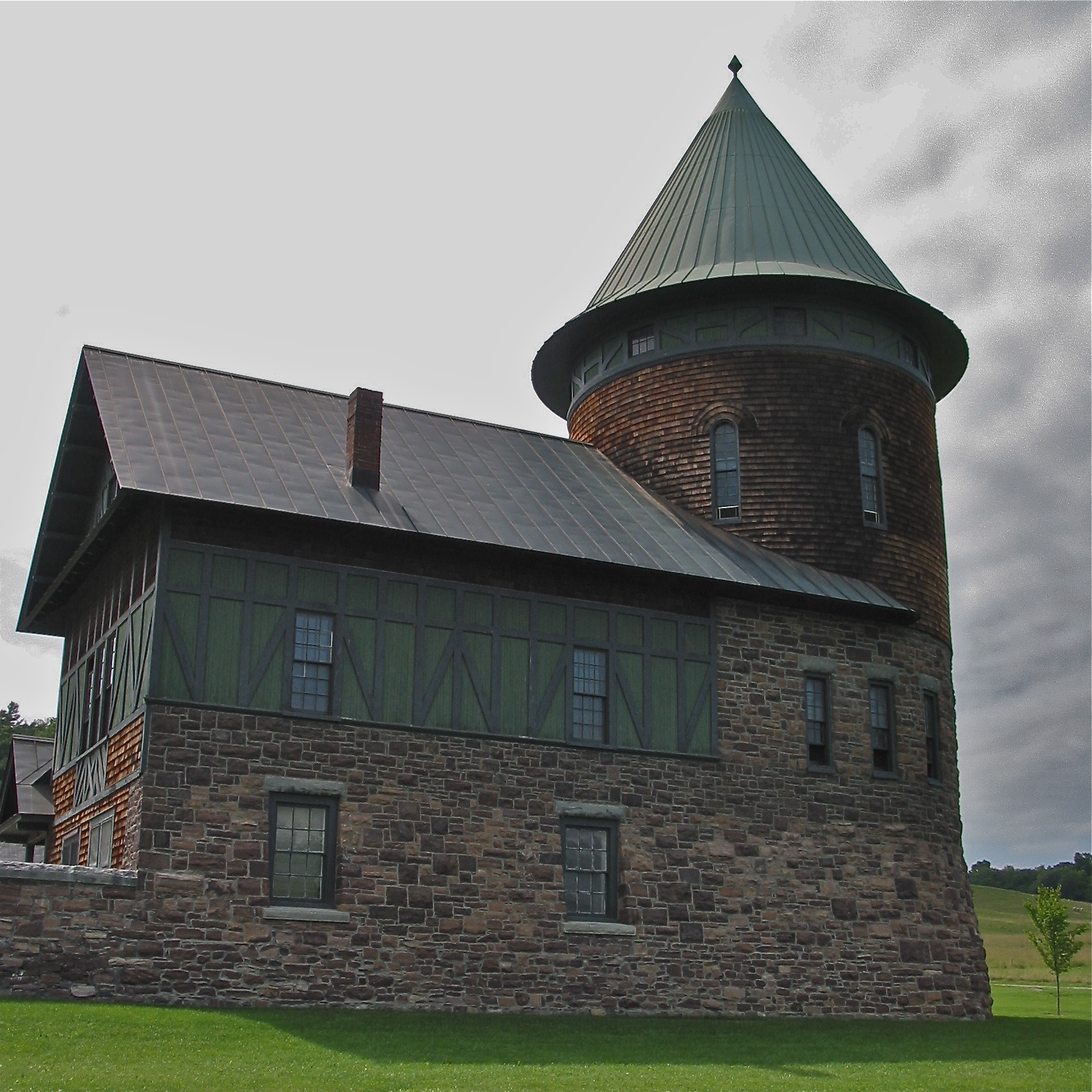
Shelburne Farms (1886) – Farm Barn (1888-90) - detail
usa architecture square nhl vermont cows nps farm agriculture nationalparkservice sq vt lakechamplain shelburne 1866 giffordpinchot shelburnefarms landscapedesign nationalhistoriclandmark fredericklawolmsted cheddarcheese nationalregisterofhistoricplaces environmentaleducationcenter brownswiss nrhp superrich vermontmozartfestival chittendencounty foreststewardshipcouncil roberthendersonrobertson origamidon donshall shelburnevermontusa 01032001 greencertification lilavanderbiltwebb drwilliamsewardwebb sustainablymanagedwoodlands grassbaseddairy 80000330 08111980 exemplaryagriculturalarchitecturalandlandscapedesignachievements modelfarmandcountryestate 44°23′3169″n73°15′2604″w 44°23′3169″n 73°15′2604″w
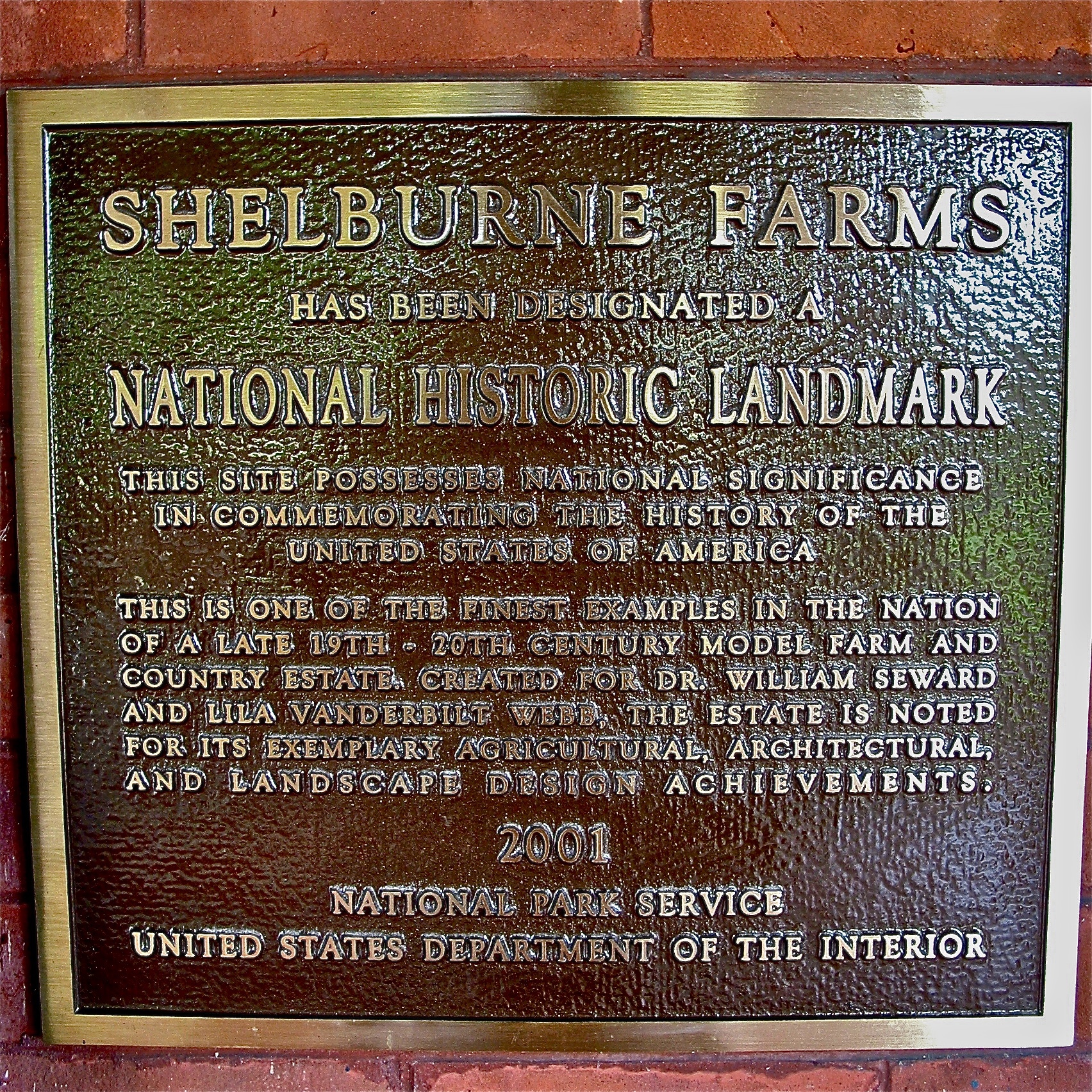
Shelburne Farms (1886) – National Historic Landmark plaque
usa church architecture stairs burlington square vermont replacement step inprogress sq stpancras vt firstcongregationalchurch 1845 1842 nationalregisterofhistoricplaces 05401 workproject georgeperkinsmarsh nrhp greenmountainstate choragicmonumentoflysicrates chittendencounty origamidon donshall burlingtonvermontusa columnbase henrysearle 38southwinooskiavenue mainstreetcollegestreethistoricdistrict 88001850 02031988
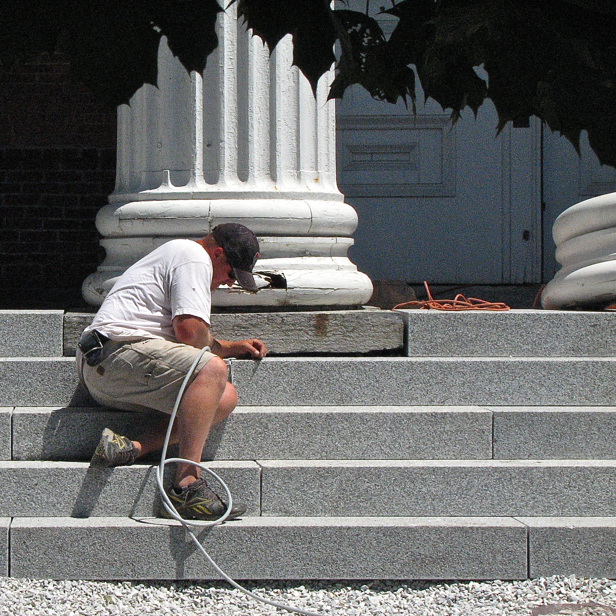
First Congregational Church (1842) – new stone porch and steps
door old blue school red sky house building brick tower window field education vermont bell traditional rustic steps newengland ivy hills falling shutters learning 100 schoolhouse vacations grammar obsolete topaz institution educationalbuildings shelbournemuseum
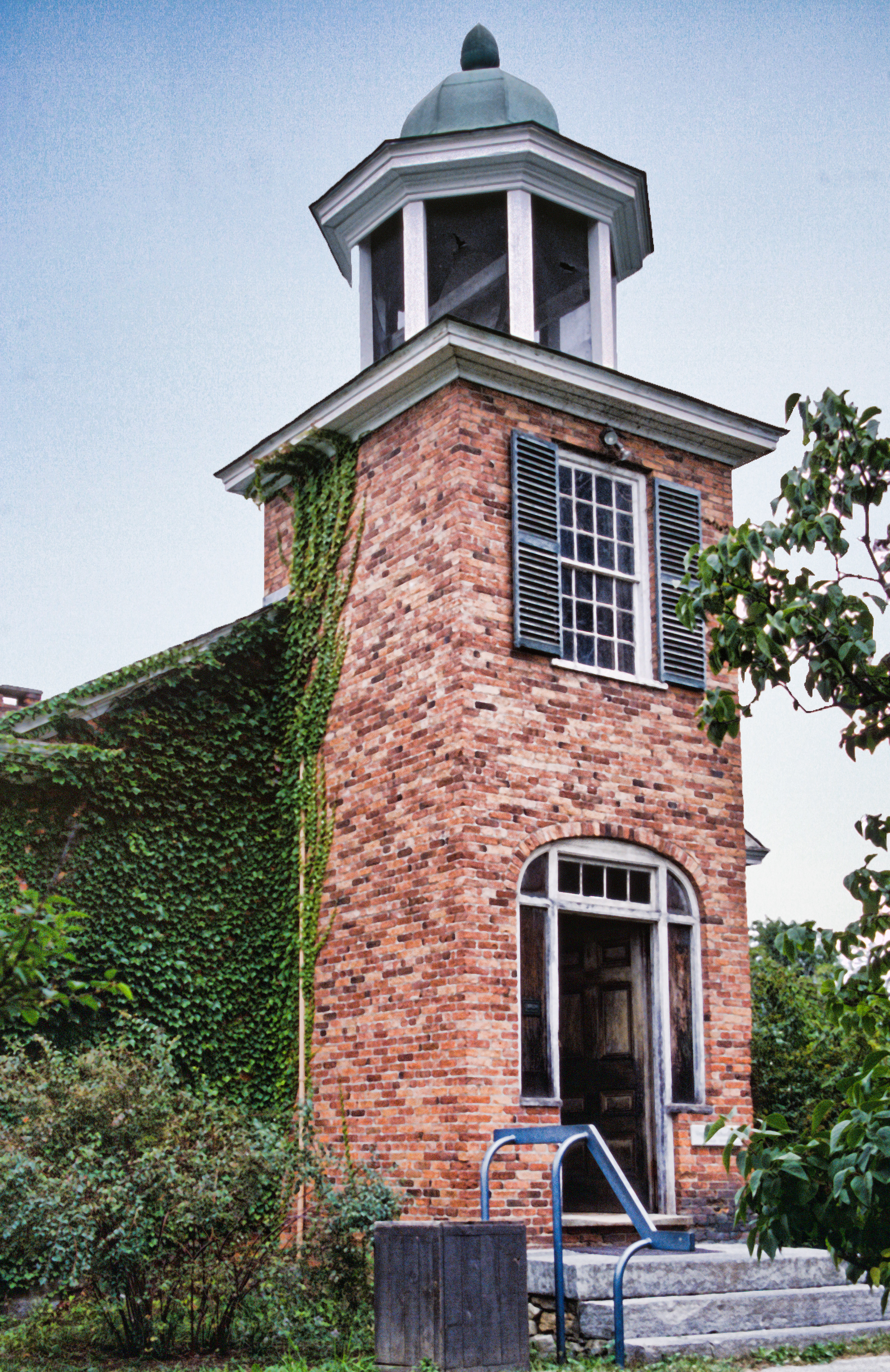
Vergennes Schoolhouse, Shelbourne Vermont
usa brick architecture farmhouse vintage square restaurant vermont victorian sq vt southburlington greenmountainstate lakeviewhouse chittendencounty 05403 origamidon donshall lakeviewfarm southburlingtonvermontusa lemuelsdrew lsdrew
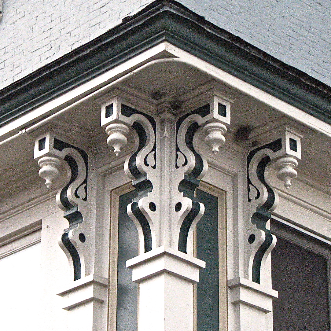
L.S. Drew Lake View House (c.1850) – corner brackets
usa architecture nhl vermont cows nps farm agriculture nationalparkservice vt lakechamplain shelburne 1866 giffordpinchot shelburnefarms landscapedesign nationalhistoriclandmark fredericklawolmsted cheddarcheese nationalregisterofhistoricplaces environmentaleducationcenter brownswiss nrhp superrich vermontmozartfestival chittendencounty foreststewardshipcouncil roberthendersonrobertson origamidon donshall shelburnevermontusa 01032001 greencertification lilavanderbiltwebb drwilliamsewardwebb sustainablymanagedwoodlands grassbaseddairy 80000330 08111980 exemplaryagriculturalarchitecturalandlandscapedesignachievements modelfarmandcountryestate 44°23′3169″n73°15′2604″w 44°23′3169″n 73°15′2604″w
Shelburne Farms (1886) – Shelburne House (1899) - playroom
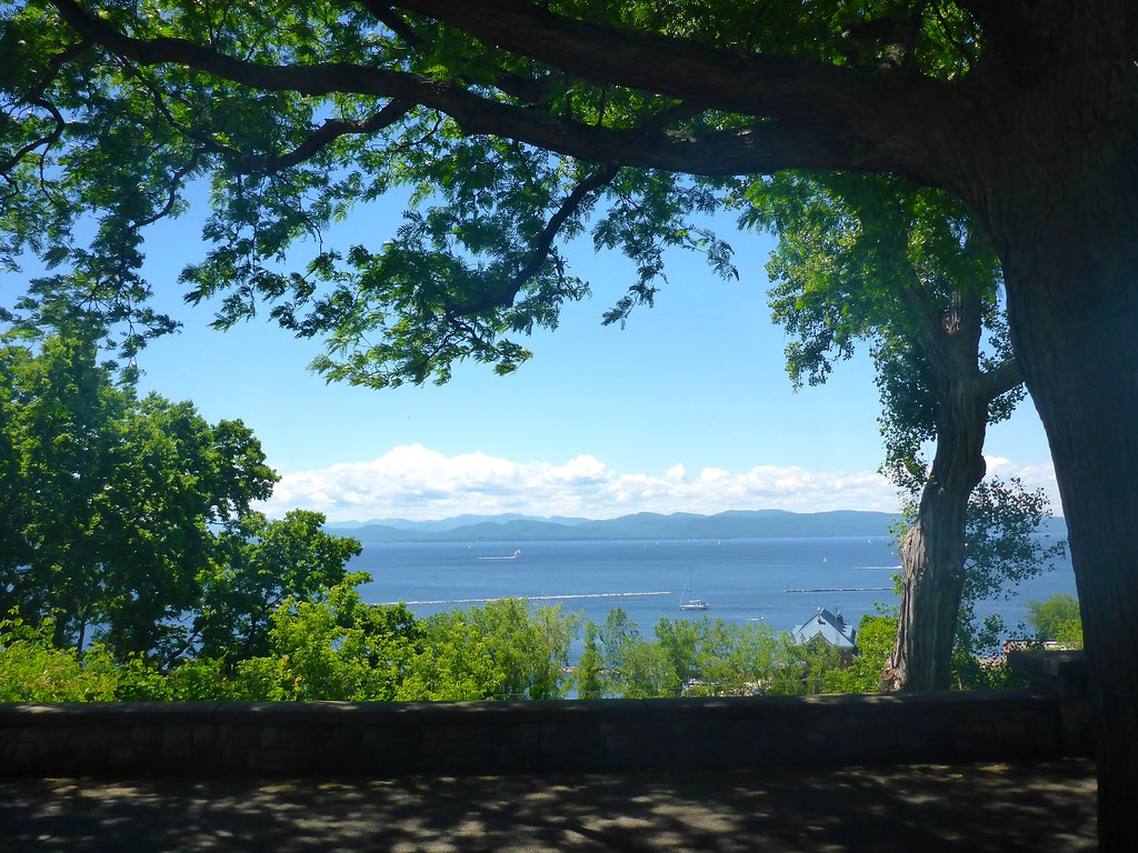
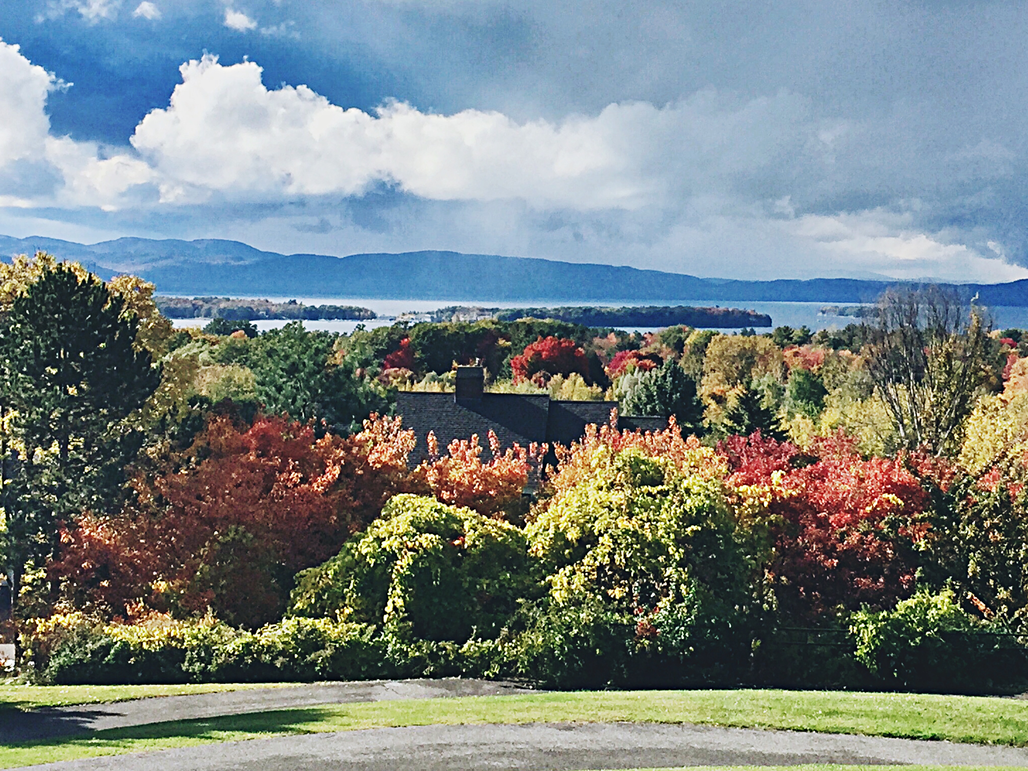
panorama lake snow burlington vermont champlain
The Overlook
sunset lake mountains beach landscape vermont adirondacks sensational soe breathtaking lakechamplain waterscape potofgold fiatlux freephotos abigfave platinumphoto anawesomeshot naturewatcher overtheexcellence elitephotography theperfectphotographer platinumsuperstar spiritofphotography absolutelystunningscapes breathtakinggoldaward 100commentgroup topqualityimagesonly grouptripod don3rdse reflectyourworld nlvdon sunsetsandsunrisesgold
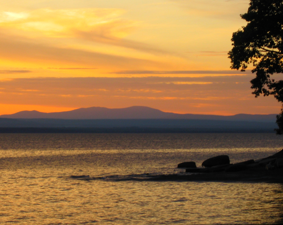
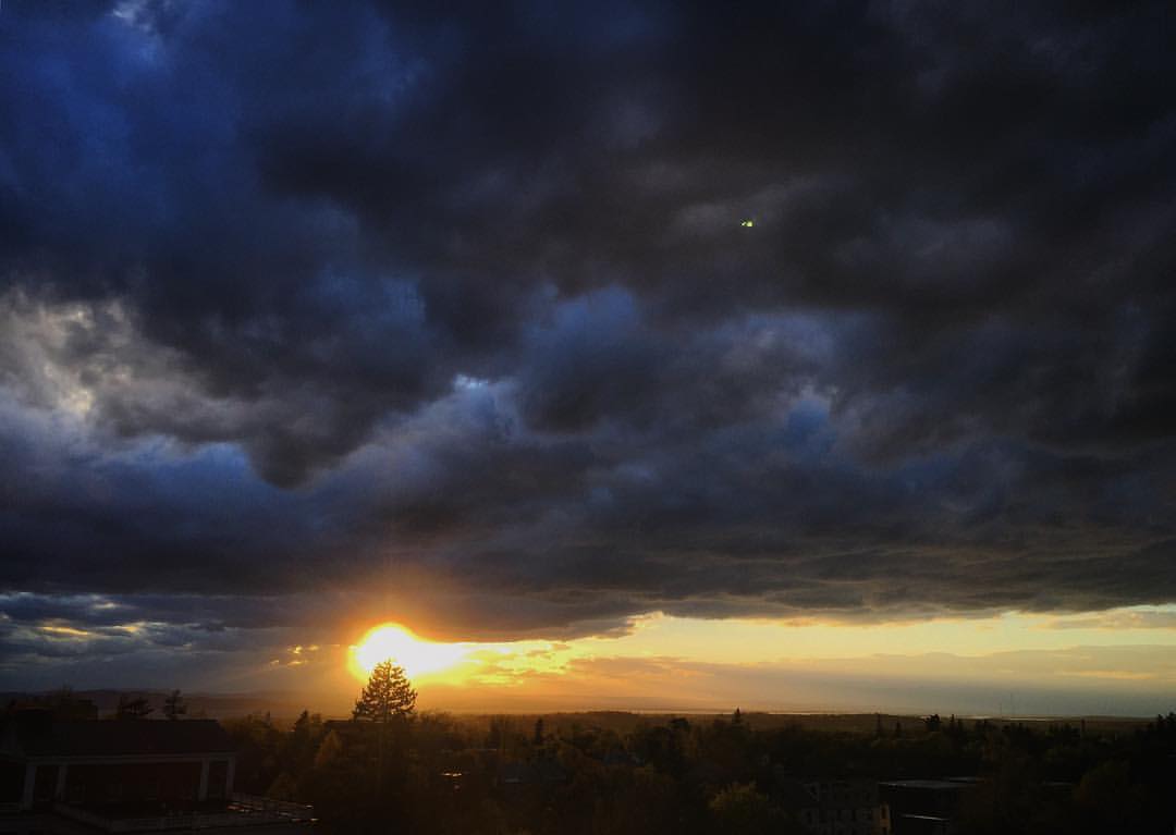
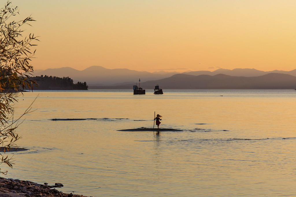
Vermont Sunset, Emmy's Beach
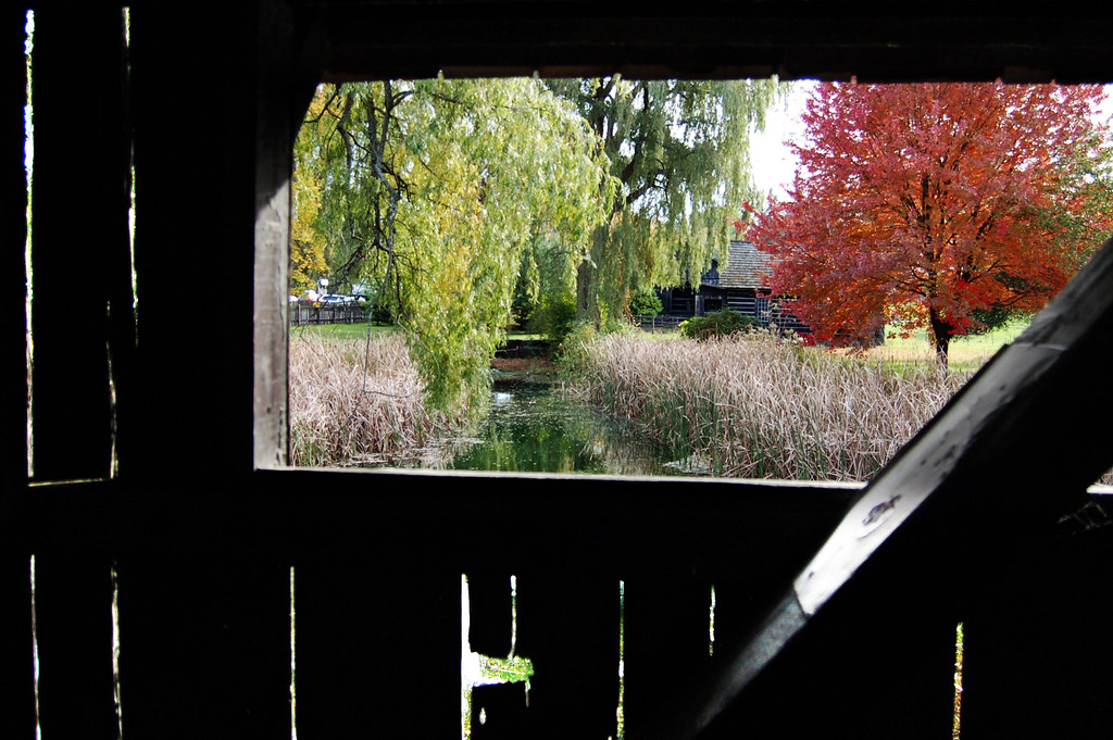
street lake vermont sundown champlain overlook
Framing the view
bridge autumn fall colors leaves vermont covered shelburne
view from a bridge
adamhall trackhead trackheadstudios trackheadxxx
TrackHead Studios - Lake Champlain
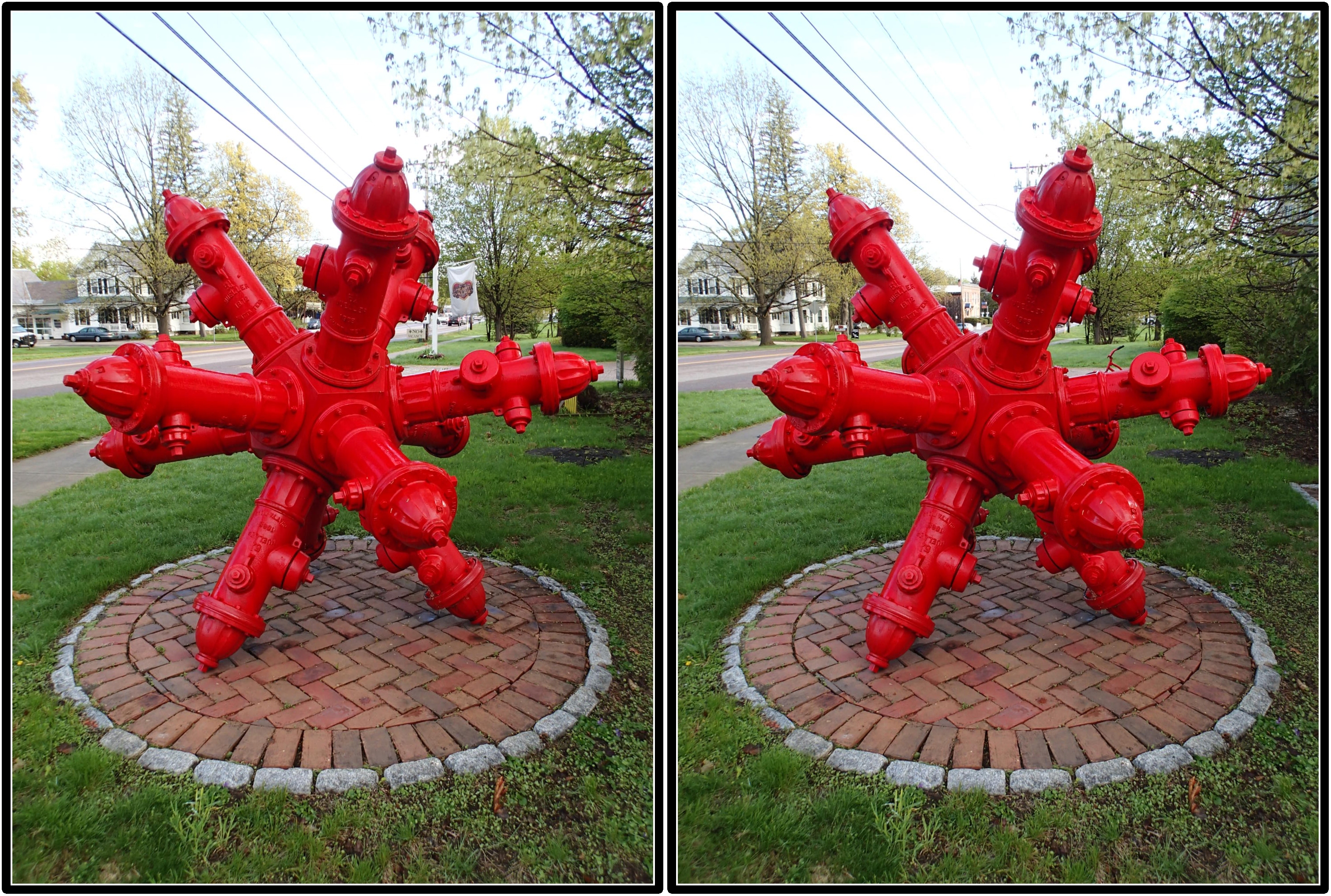
Dodecahedron hydrants
instagramapp square squareformat iphoneography uploaded:by=instagram
views from work. #vt #vermont #802 #sunset #sky #cloud #clouds it rained and sunned and rained and sunned #ifyoudontliketheweather #waitaminute
fall clouds vermont foliage vt shelburne shelburnemuseum shelburnevermont
Another beautiful morning in Vermont.
trip travel blue vacation sky usa cloud lake newyork mountains green water burlington fence bench landscape vermont board grunge clip crop half boardwalk lakechamplain canoneos7d canonef2470mmf28lisiiusm
Just a Half
usa burlington vermont waterfront shoreline stonewall vt lakechamplain keystones nne greenmountainstate northshoredrive chittendencounty 05408 newnorthend origamidon donshall 6thgreatlake burlingtonvermontusa publicwaterfront
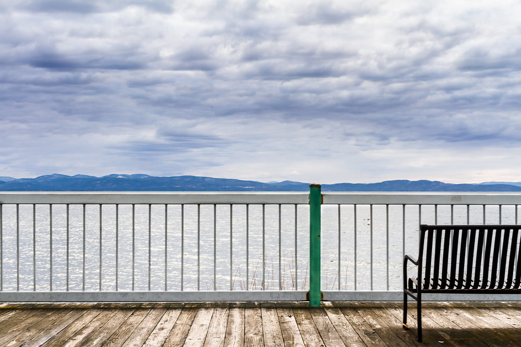
lake.champlain • shoreline
sunset usa bikepath clouds burlington vermont waterfront shoreline vt lakechamplain adirondackmountains nne greenmountainstate northshoredrive chittendencounty 05408 newnorthend origamidon donshall 6thgreatlake burlingtonvermontusa publicwaterfront
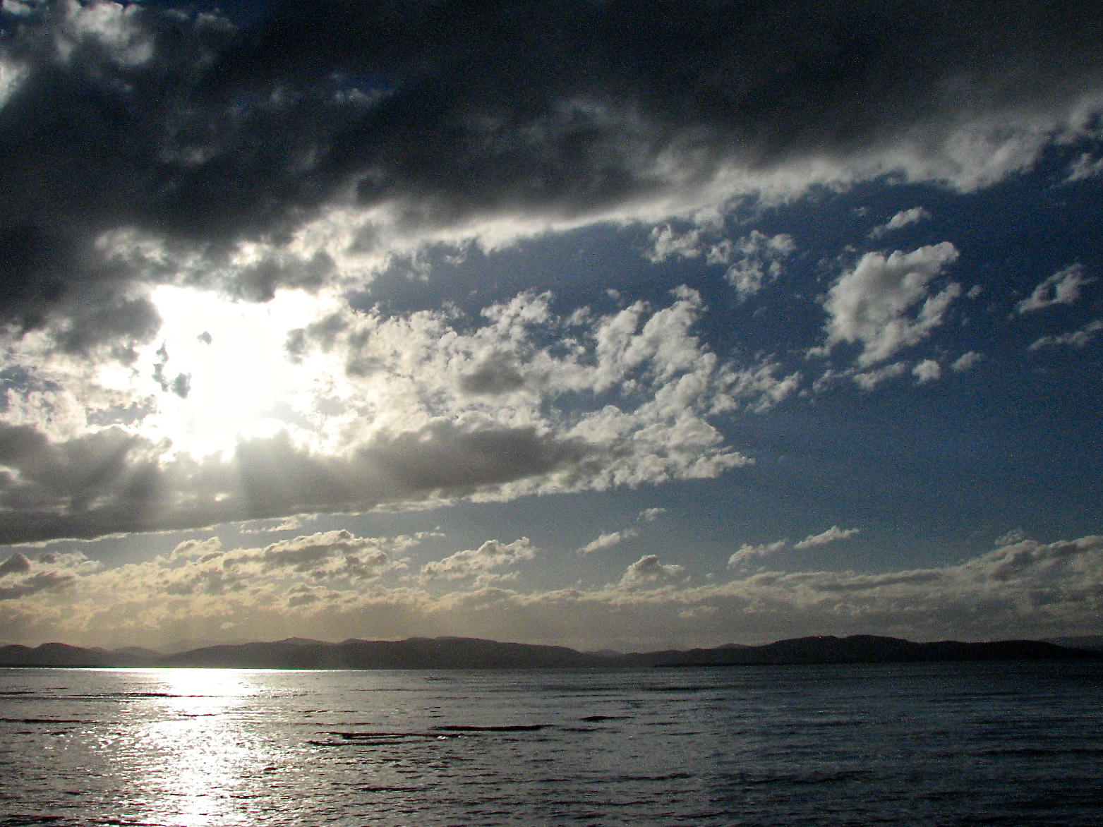
lake.champlain • sunset
usa newyork geotagged pond unitedstates adirondacks frog portkent keeseville 18200vr d80 labcf geo:lat=4450867585 geo:lon=7338579655 2013ny5689
Resting Place
sunset vermont unitedstates essex
Vermont_D718863-Edit.jpg
Tree in Lake Champlain in Burlington VT. Passed by it on a foggy morning run south along the lake.
Deep Green Vermont
winter sunset vertical burlington vermont hdr vt btv explored leddypark 60225mm
Follow the Leader
sunset lake mountains beach landscape vermont adirondacks sensational sos soe lakechamplain fiatlux blueribbonwinner digitalcameraclub bej fineartphotos freephotos creativeimagery allthingsbeautifulinnature mywinners anawesomeshot citrit envyofflickr amazingamateur theunforgettablepictures colourartaward artlegacy wonderfulworldmix betterthangood theperfectphotographer goldstaraward multimegashot absolutelystunningscapes skyascanvas damniwishidtakenthat flickrlovers 100commentgroup colorfullaward grouptripod allaboutsun itswritteninthestars mallmixstaraward sunsetsandsunrisesgold
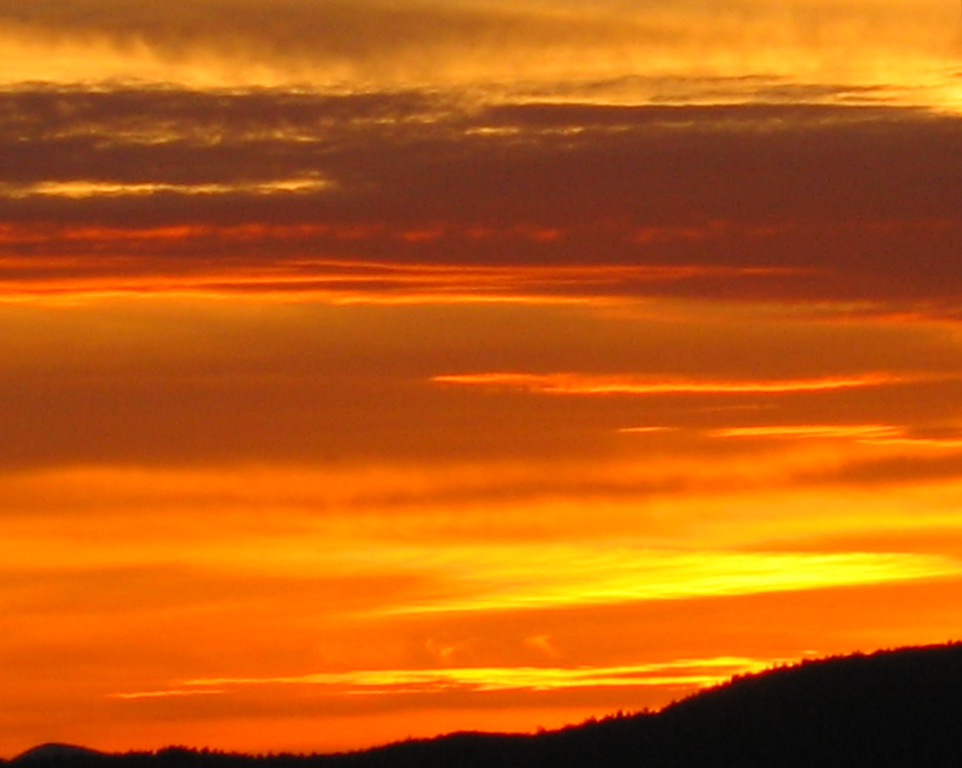
Vermont Sunset-Emmy's Beach
foliage newengland champlain burlington
Burlington, Vermont
field burlington vermont south
low perspective
burlington vermont south overlook
Adirondack sunset
burlington vermont unitedstates scenic indianbrookreservoir
Vermont_D718766-Edit.jpg
lake vermont dusk champlain
Primal Dance #2
square lofi squareformat iphoneography instagramapp uploaded:by=instagram foursquare:venue=4b6ddafef964a52013962ce3
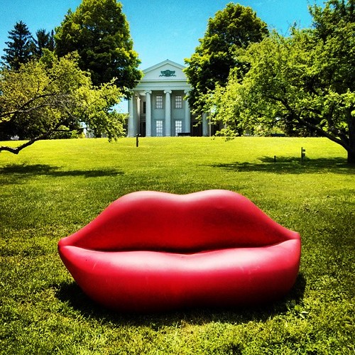
Dali Re-enacted in 21st Century #landscape #artspaces #sculpturegarden
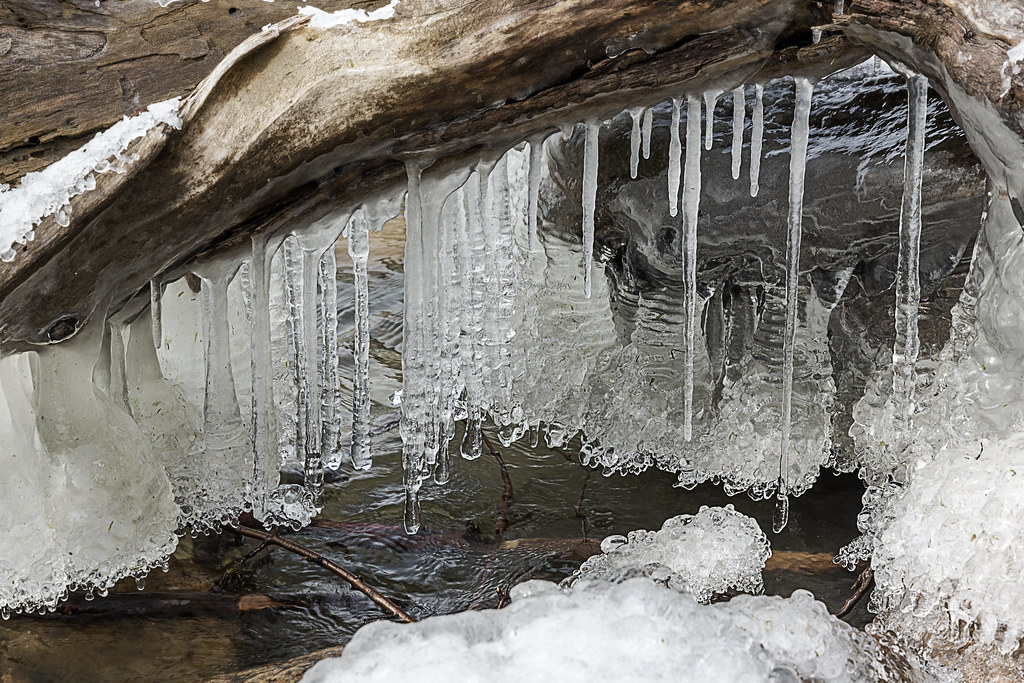
lake beach vermont champlain shelburne
lake ice
blue trees winter white snow cold vermont frost frosty winterweather whiteandblue
Puffy White Clouds
cloudy conditions field fineart flowers grass landscape location oftenused outdoor rural scenic season subjects summer trees vermont vibrant
Field & Wild Flowers
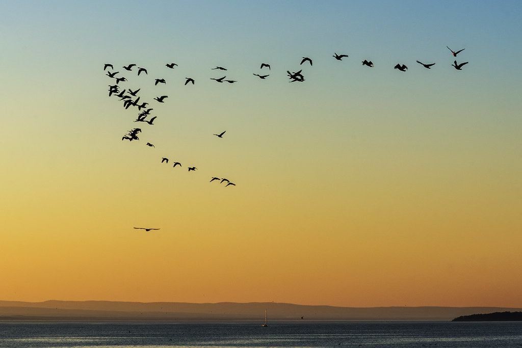
sunset burlington landscape vermont
Flying South
square lofi squareformat iphoneography instagramapp uploaded:by=instagram foursquare:venue=4bfaad5f1134b713e07d0fc9
The Winooski Falls
street sunset girl silhouette vermont dancing littlegirl lakechamplain
primal dance
red burlington rocks vermont south topshots worldwidelandscapes natureselegantshots panoramafotográfico thebestofmimamorsgroups theoriginalgoldseal
Forest path
conditions field fineart hill landscape leaf location mountain oftenused rural scenic season subjects summer vermont vibrant williston unitedstates us
Grassy Hill & Berries
ice landscape dawn vermont newengland lakechamplain burlingtonvermont oakledgepark newenglandlandscape vermontphotography davidcopley davidcopleyphotography
After the Moonset