Elevation of Pearl St, Burlington, VT, USA
Location: United States > Vermont > Chittenden County > Burlington > Old North End >
Longitude: -73.211468
Latitude: 44.4802523
Elevation: 71m / 233feet
Barometric Pressure: 100KPa
Elevation Map:
Satellite Map:
Related Photos:
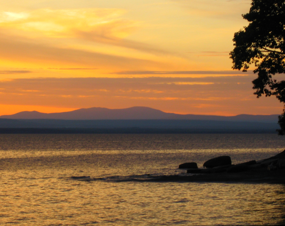
Vermont Sunset, Emmy's Beach

Richardson Place (1894) – elaborate roofline
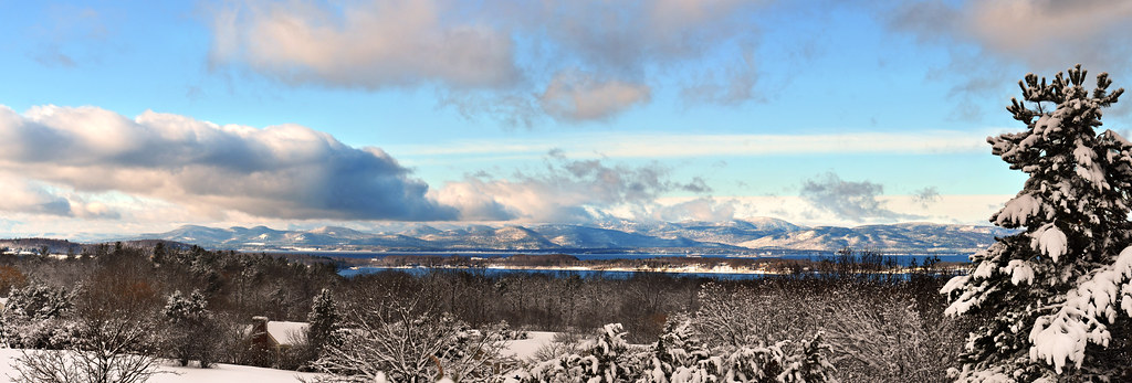
The Overlook
Shelburne Farms (1886) – Farm Barn (1888-90) - detail
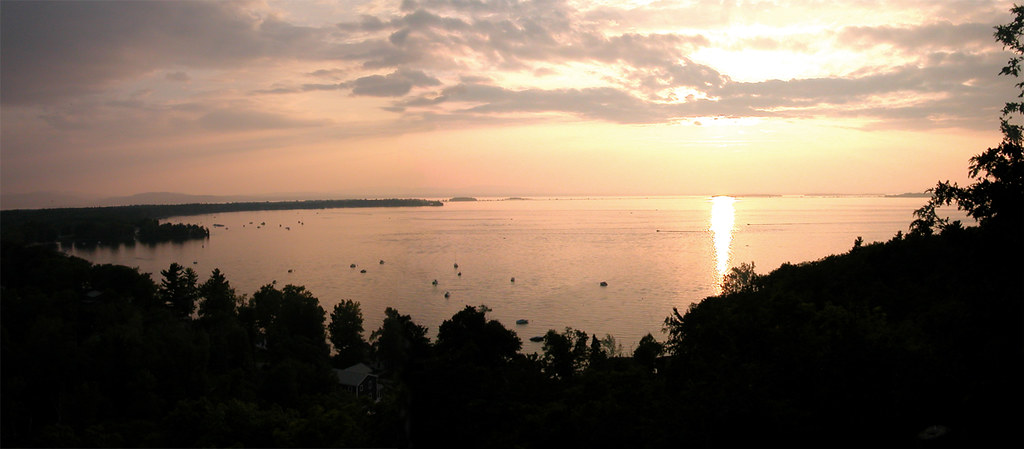
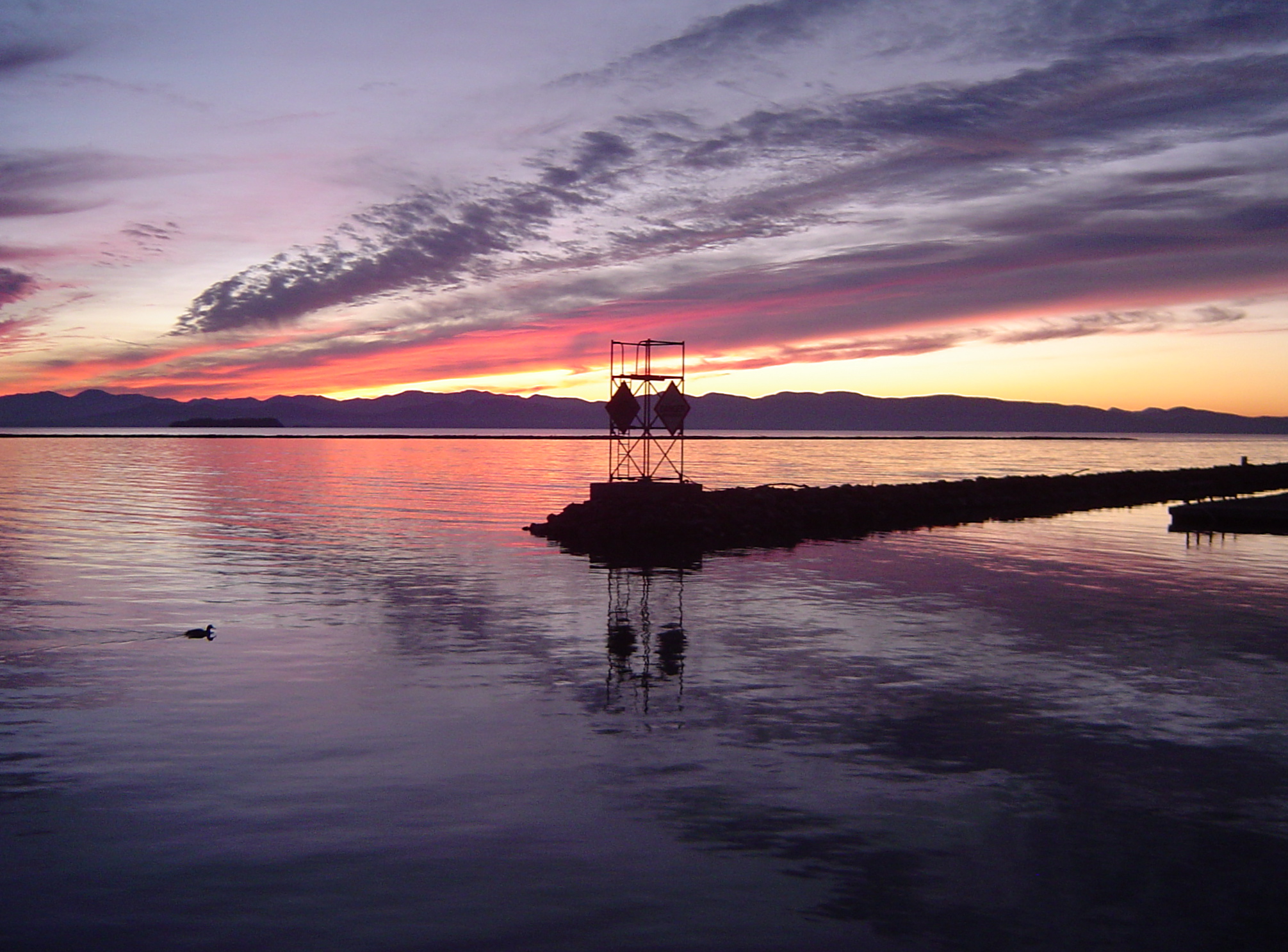
burlington harbor sunset
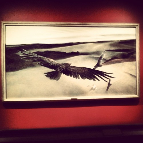
Frightening Bird's Eye View... #perspective #vantage #art #artspaces #museumspaces #museumseries Painting: "Soaring" (1950) by Andrew Wyeth (1917 - 2009)
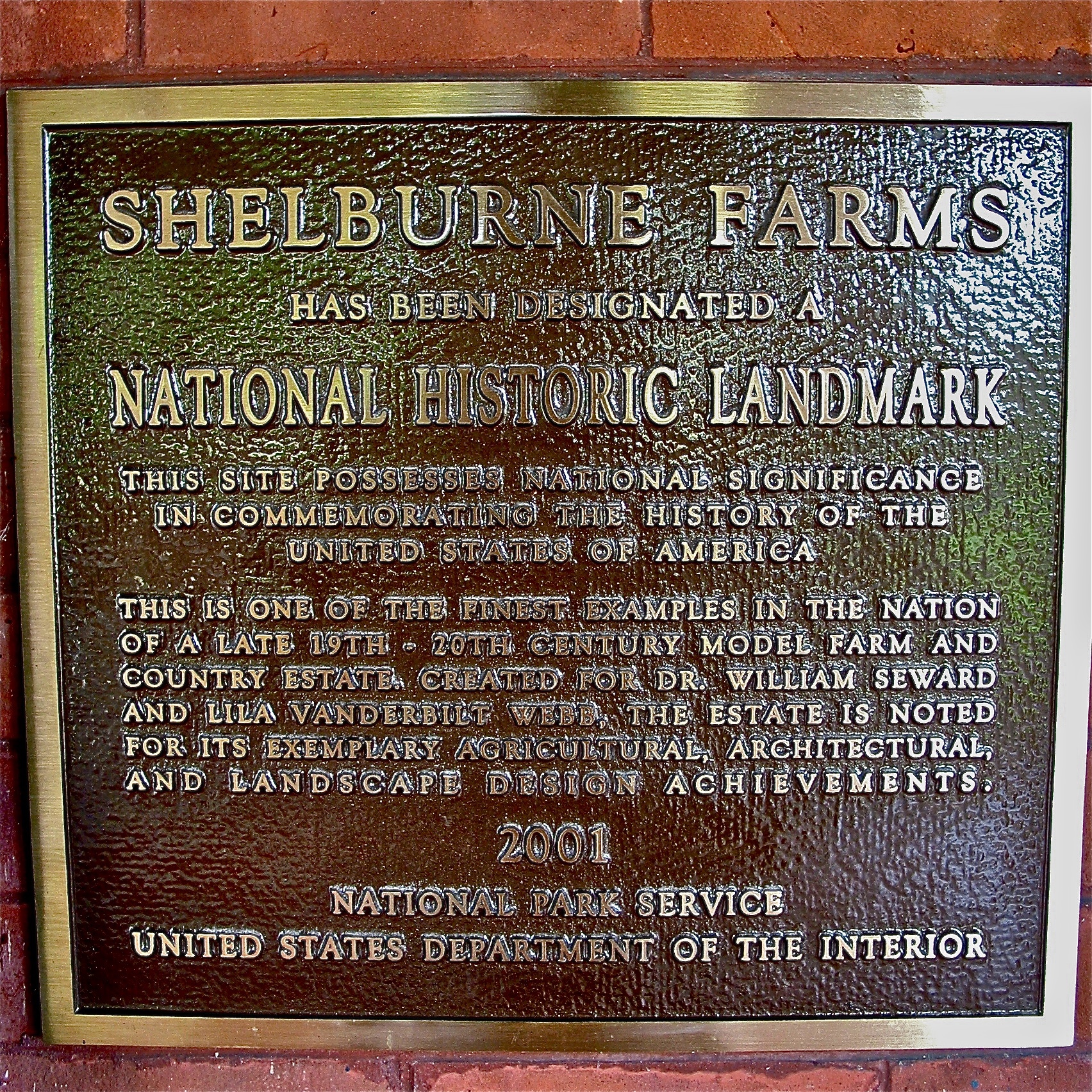
Shelburne Farms (1886) – National Historic Landmark plaque
Just a Half
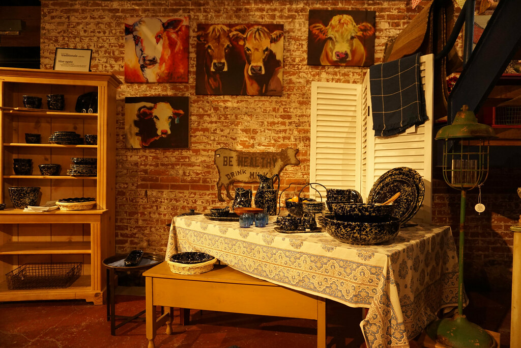
Art Shop View
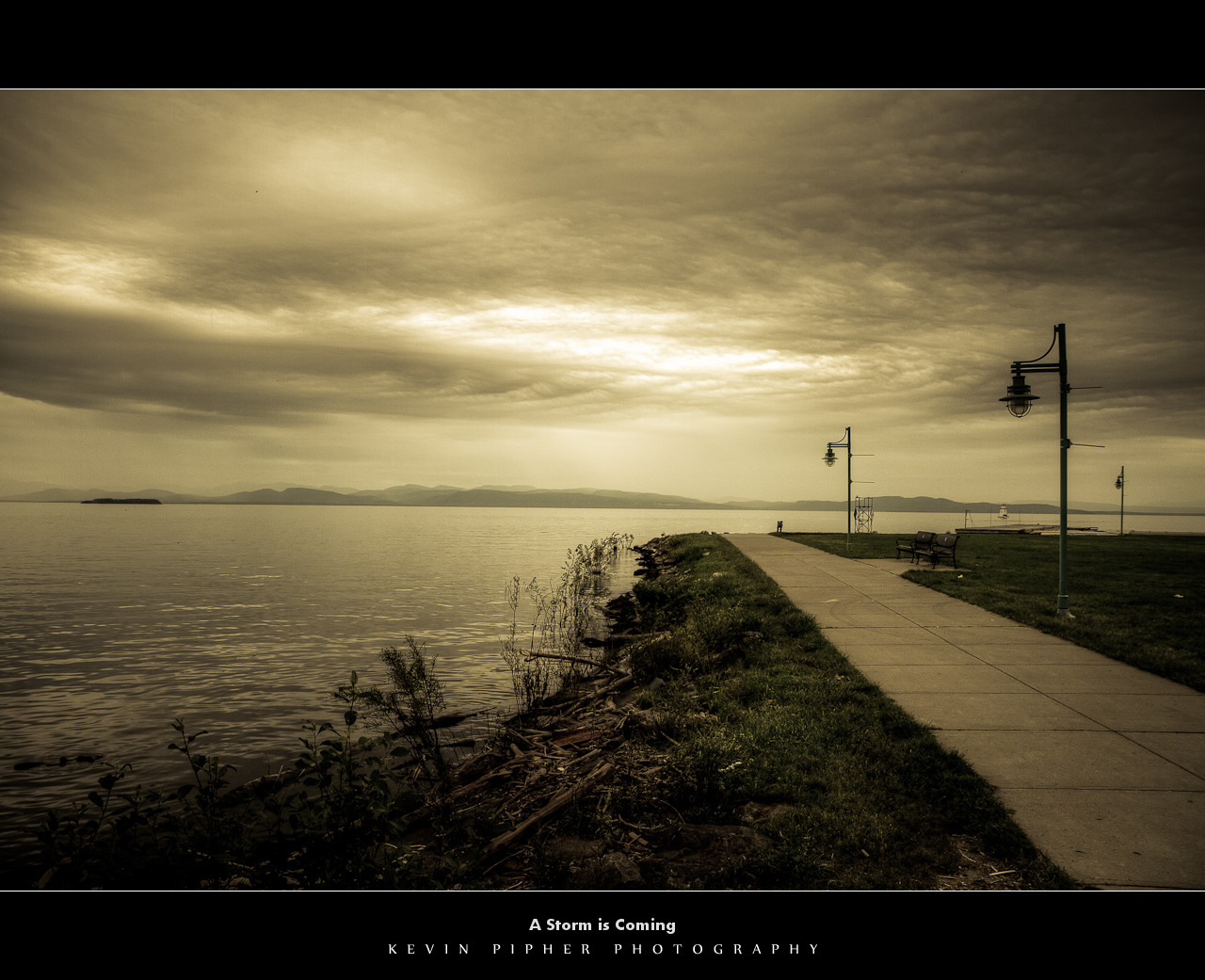
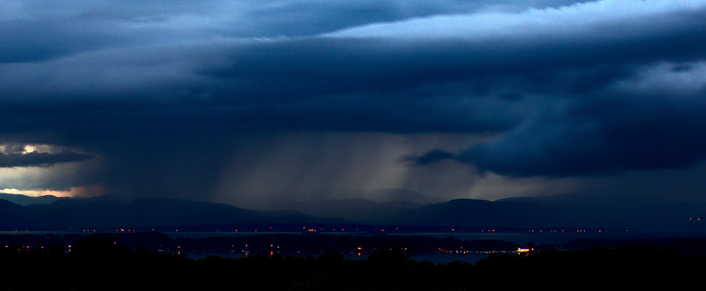
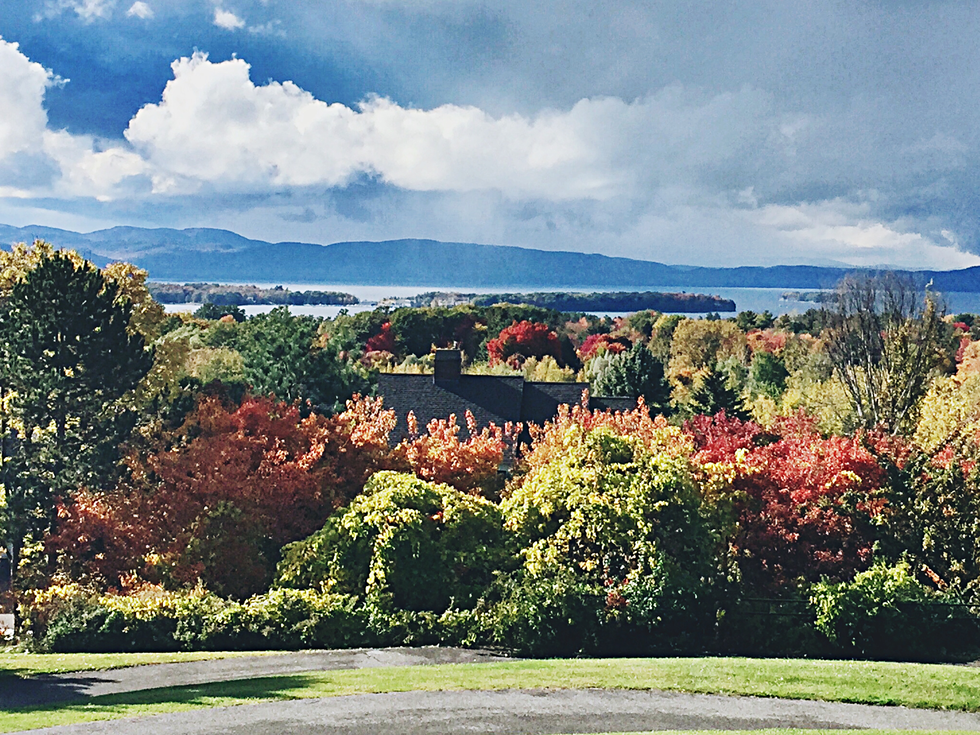
A Storm is Coming
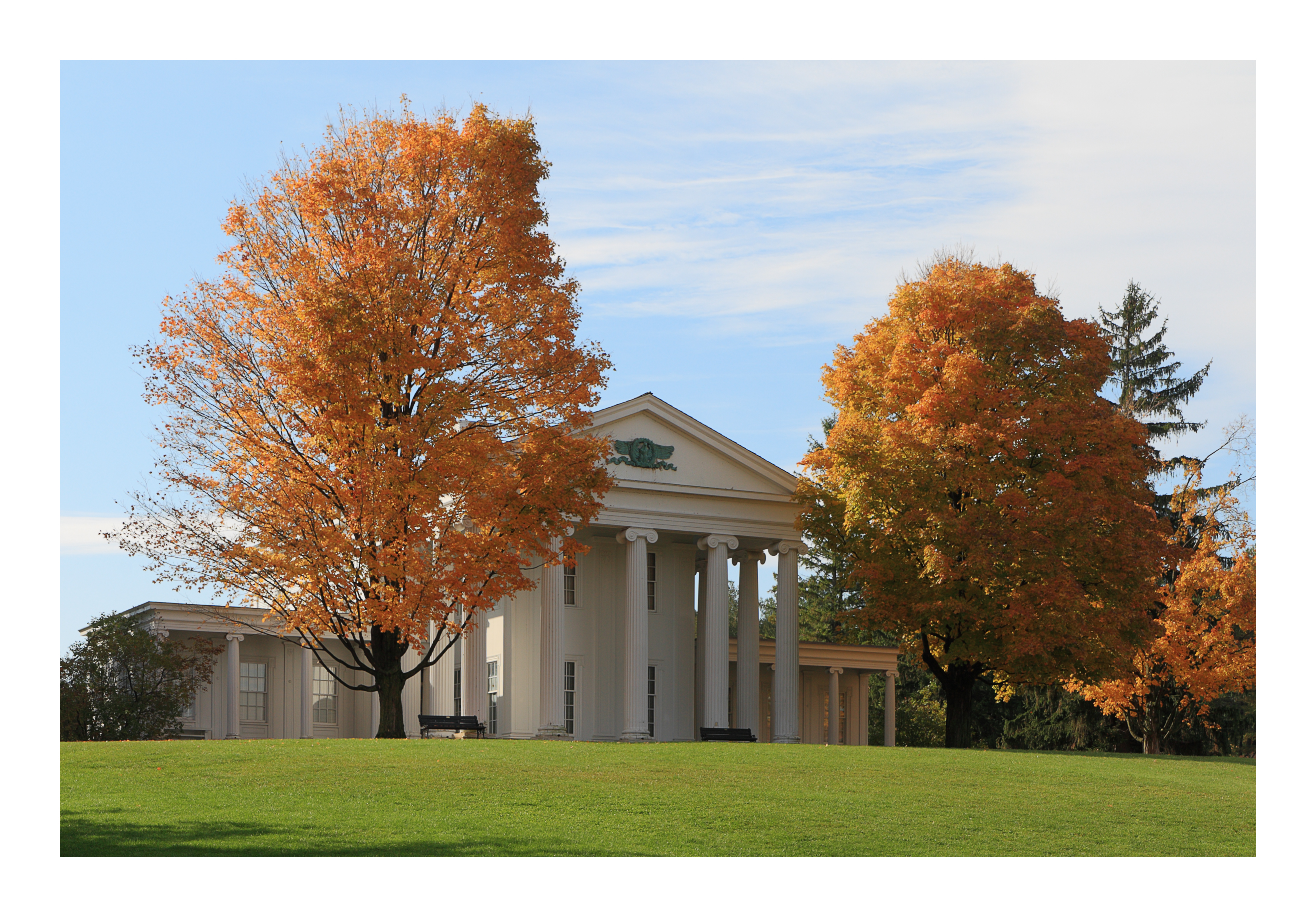
Vermont - Shelburne Museum
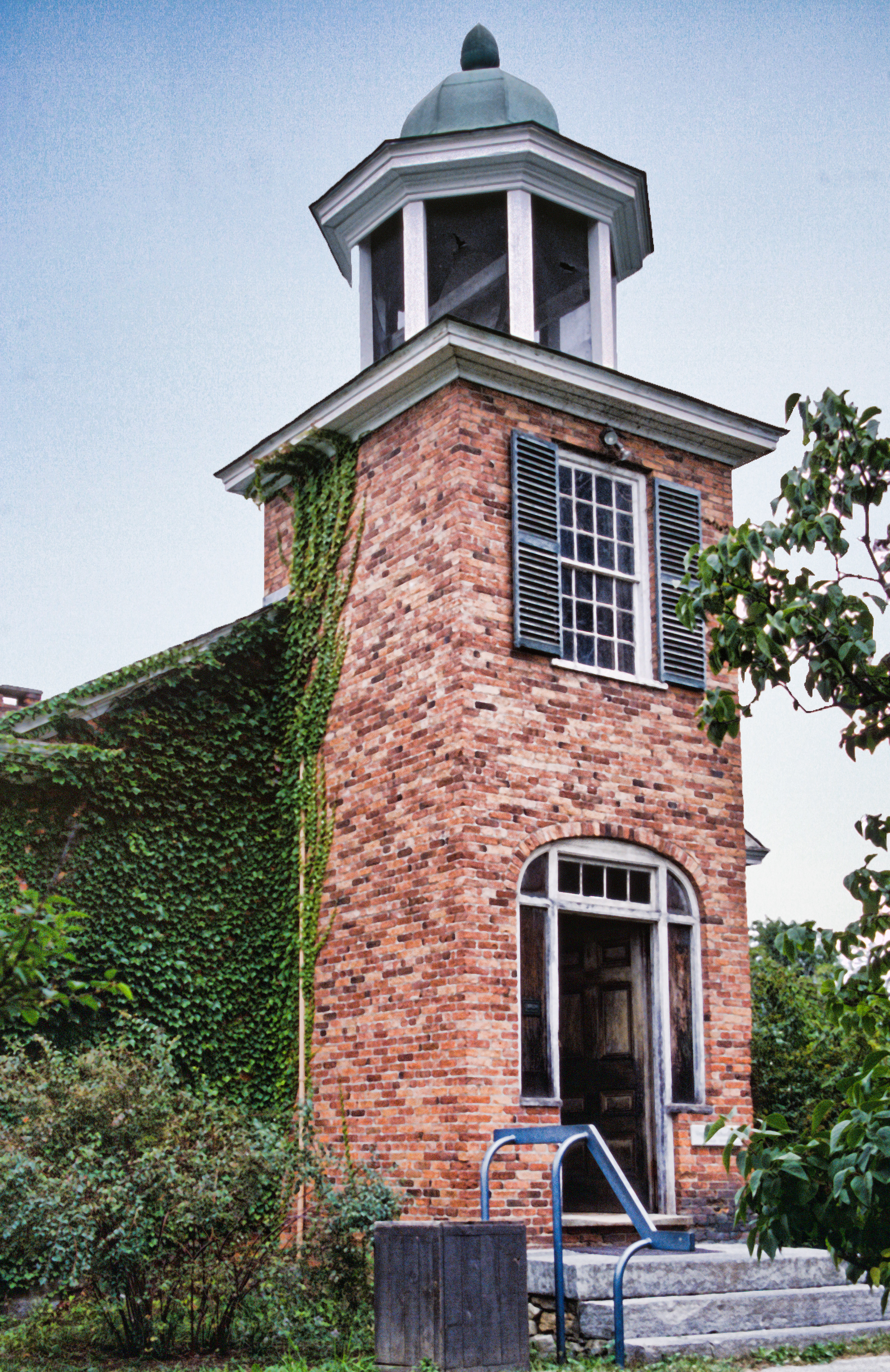
Vergennes Schoolhouse, Shelbourne Vermont
Shelburne Farms (1886) – Dairy Barn (1891)
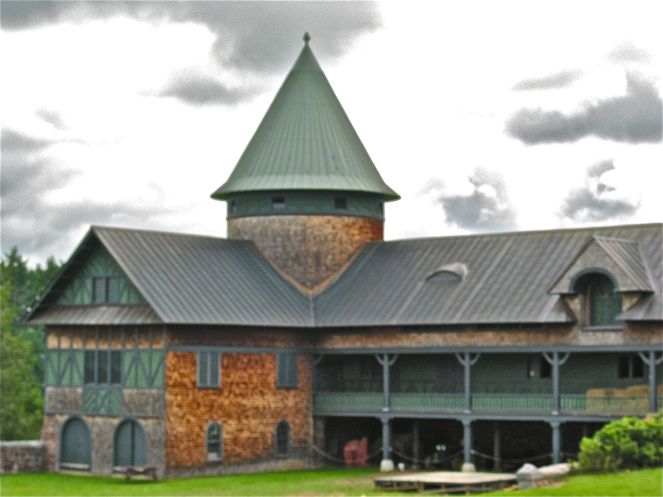
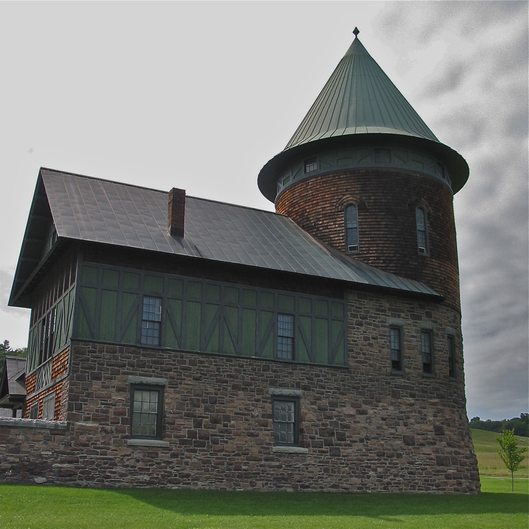
Shelburne Farms (1886) – Farm Barn (1888-90)
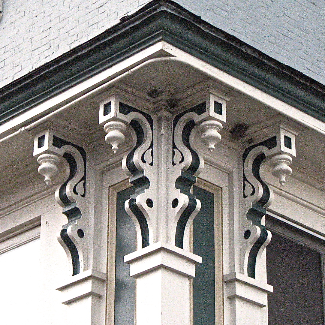
L.S. Drew Lake View House (c.1850) – corner brackets
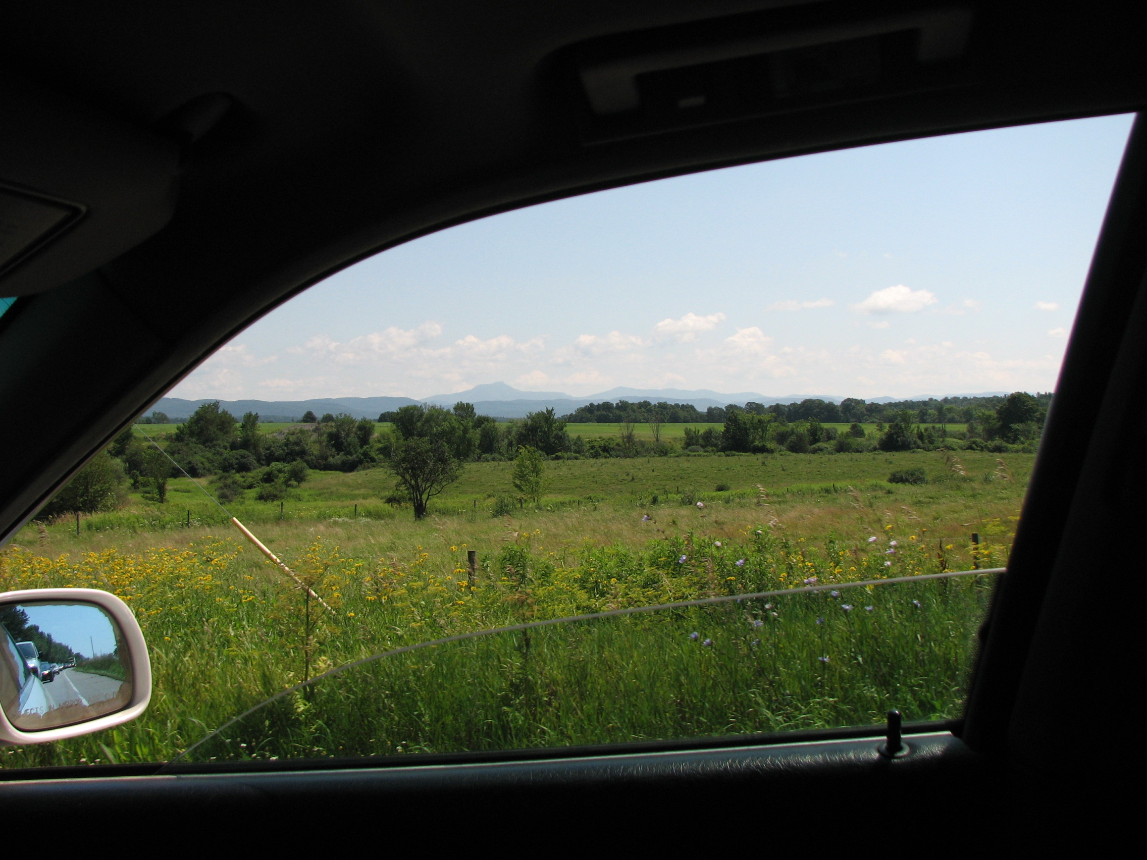
car.window • view
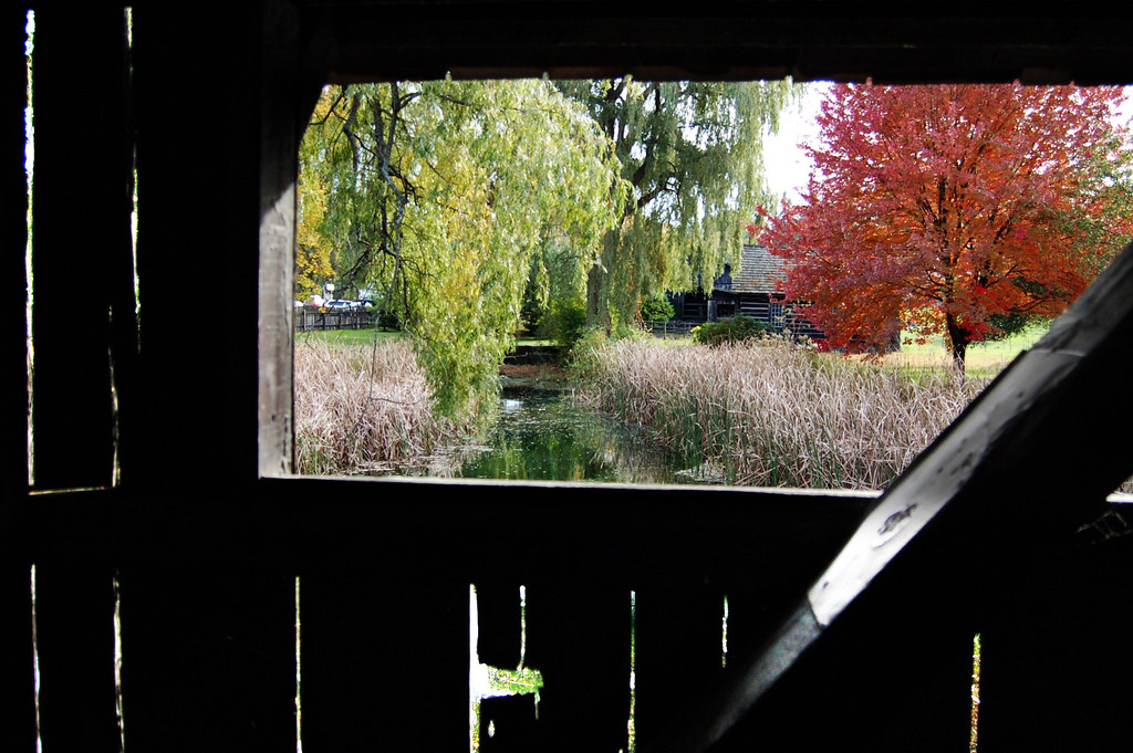
view from a bridge
a view of the 'dacks
Keeseville, NY
The Leap
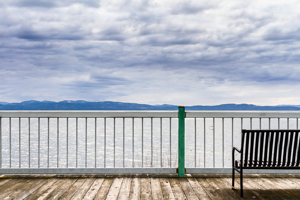
Storm Approaching Shelburne Bay
low perspective

Adirondack sunset
lake ice
Dali Re-enacted in 21st Century #landscape #artspaces #sculpturegarden
Deep Green Vermont
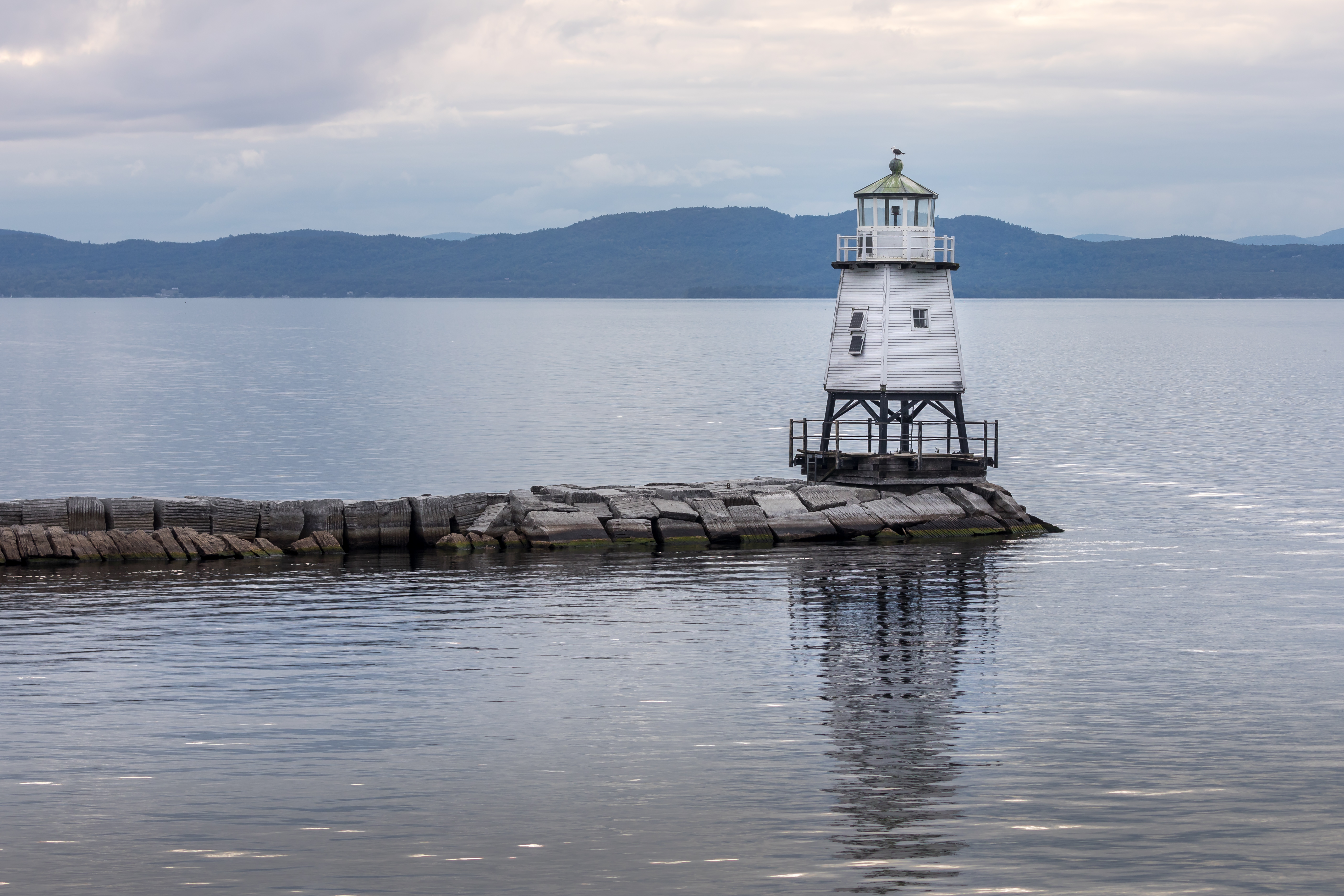
burlington harbor light
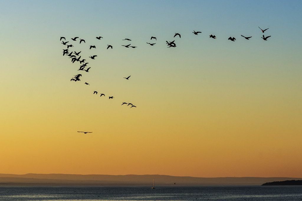
Flying South
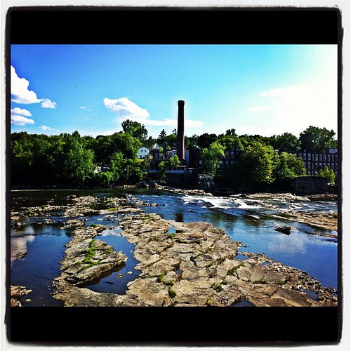
The Winooski Falls
Burlington, Vermont

primal dance

After the Moonset
#beach #calm #sky #cloud #clouds #vt #vermontbyvermonters #colchester #vermonting #802 between storms #lake #lakechamplain
Vermont Sunset, Emmys Beach
Toward Shelburne point

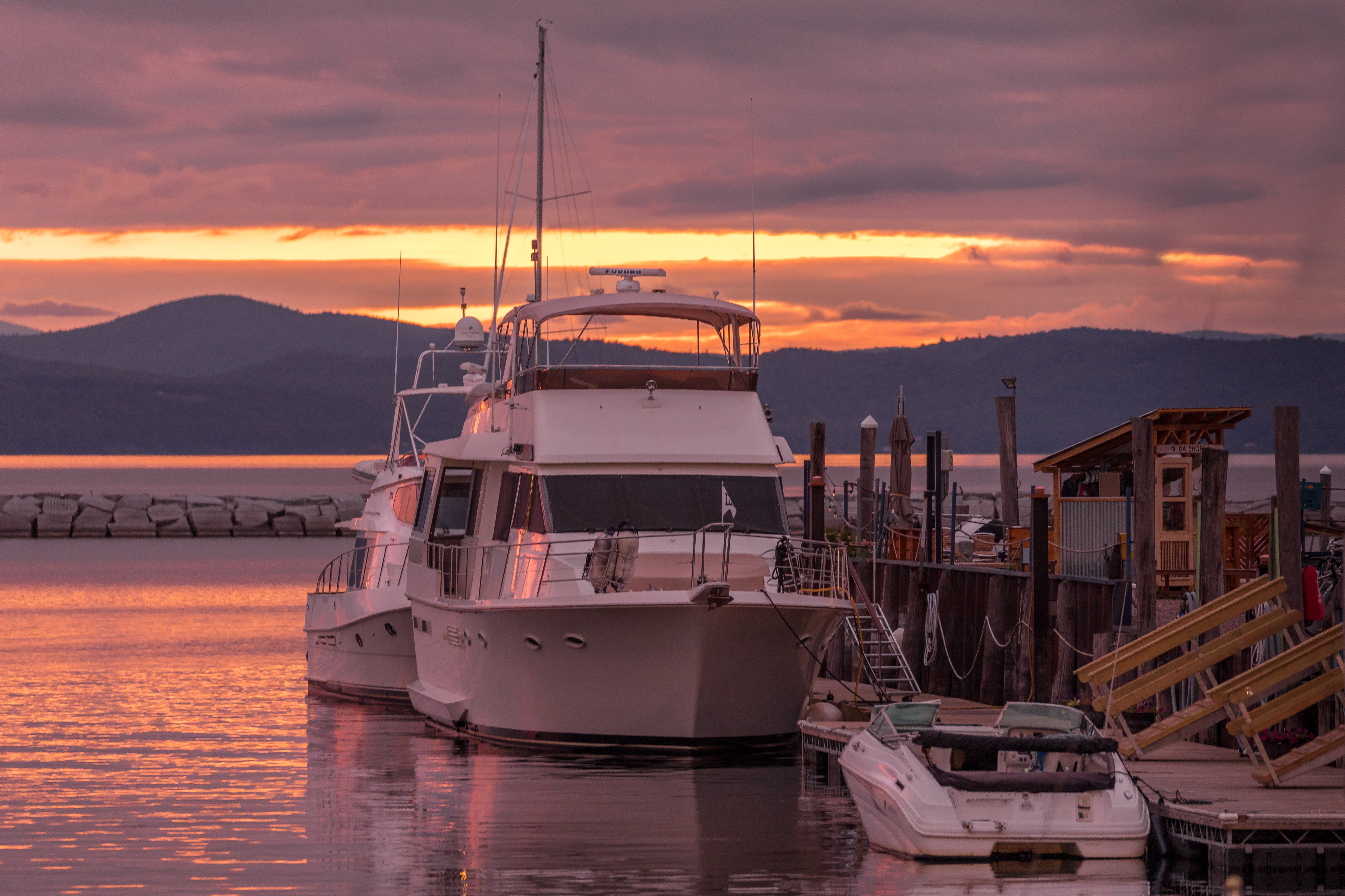
Burlington Harbor - Burlington, VT
Burlington sunset. No filter, brightened only. #btv #burlington #vermont #vt #802 #fahc #sunset #cloud #clouds #sky #photo #landscape
Sunset #3757

Williston Sunset

Hole in the Sky
Wet winding way
Topographic Map of Pearl St, Burlington, VT, USA
Find elevation by address:

Places near Pearl St, Burlington, VT, USA:
185 Pearl St
Burlington, VT, USA
Burlington
Burlington, VT, USA
North Street
207 S Union St
1 S Prospect St Hall 2130
1 S Prospect St Hall 2130
1 S Prospect St
Uvm Medical Center - 1 South Prospect Street
Uvm Medical Center Neurology
55 University Pl
55 University Pl
55 University Pl
University Place
Ira Allen Chapel
Fern Hill
Intervale Center
University Of Vermont
250 W Allen St
Recent Searches:
- Elevation of Woodland Oak Pl, Thousand Oaks, CA, USA
- Elevation of Brownsdale Rd, Renfrew, PA, USA
- Elevation of Corcoran Ln, Suffolk, VA, USA
- Elevation of Mamala II, Sariaya, Quezon, Philippines
- Elevation of Sarangdanda, Nepal
- Elevation of 7 Waterfall Way, Tomball, TX, USA
- Elevation of SW 57th Ave, Portland, OR, USA
- Elevation of Crocker Dr, Vacaville, CA, USA
- Elevation of Pu Ngaol Community Meeting Hall, HWHM+3X7, Krong Saen Monourom, Cambodia
- Elevation of Royal Ontario Museum, Queens Park, Toronto, ON M5S 2C6, Canada