Elevation of St-Georges, MB R0E, Canada
Location: Canada > Manitoba > Division No. 1 > Alexander >
Longitude: -96.149489
Latitude: 50.539418
Elevation: 238m / 781feet
Barometric Pressure: 98KPa
Elevation Map:
Satellite Map:
Related Photos:

Winter view of Abitibi-Price paper mill
Maskwa
Cottage Country: Up There
Cottage Country: You've Been Warned!
Cottage Country: Dam Stripes
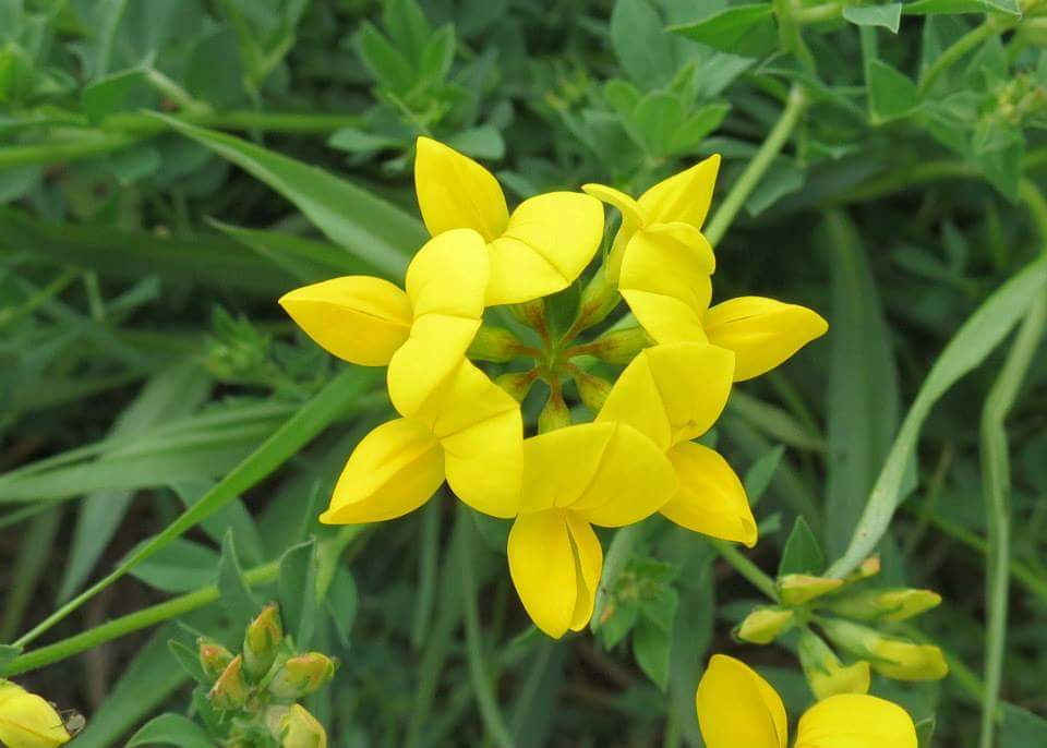
Birdsfoot trefoil
Corridor at Pine Falls Generating Station

Snow Bunting

Northern Flicker

Ray Lavallee
Successful Hunt

Ken Kahle
Trailer that went everywhere

#30 lit up for Christmas

Pine Falls School
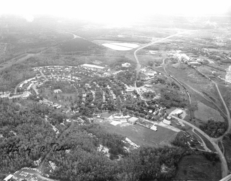
Pine Falls

Honda Motorcycle
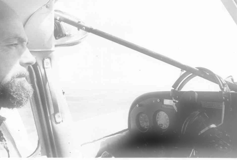
Art Gaffray flying back from Norway House

Al, Irene, Ian Rodger, Audrey and Heather

Old #30

Winter Scene at Mill

#1 P.M. Rebuild

Stirling Lyon speaking for George Weiss
Topographic Map of St-Georges, MB R0E, Canada
Find elevation by address:

Places in St-Georges, MB R0E, Canada:
Places near St-Georges, MB R0E, Canada:
11 MB-11, St-Georges, MB R0E 1V0, Canada
15 Sunrise Pl, Oakbank, MB R0E, Canada
Alexander
31 Ferguson Crescent, Great Falls, MB R0E 0V0, Canada
Great Falls
MB-11, Great Falls, MB R0E 0V0, Canada
Lac Du Bonnet
Lac Du Bonnet
Centennial Place
Spruce Land Drive
Stoney Point Rd, Beaconia, MB R0E 0B0, Canada
Beaconia
Lester Beach
Seven Sisters Falls
19 Sayer Ave, Grand Marais, MB R0E 0T0, Canada
Pinawa
Grand Marais
Grand Beach
Beausejour
Libau
Recent Searches:
- Elevation of Jadagoniai, Kaunas District Municipality, Lithuania
- Elevation of Pagonija rock, Kranto 7-oji g. 8"N, Kaunas, Lithuania
- Elevation of Co Rd 87, Jamestown, CO, USA
- Elevation of Tenjo, Cundinamarca, Colombia
- Elevation of Côte-des-Neiges, Montreal, QC H4A 3J6, Canada
- Elevation of Bobcat Dr, Helena, MT, USA
- Elevation of Zu den Ihlowbergen, Althüttendorf, Germany
- Elevation of Badaber, Peshawar, Khyber Pakhtunkhwa, Pakistan
- Elevation of SE Heron Loop, Lincoln City, OR, USA
- Elevation of Slanický ostrov, 01 Námestovo, Slovakia