Elevation map of Srikakulam, Andhra Pradesh, India
Location: India > Andhra Pradesh >
Longitude: 84.0167423
Latitude: 18.4285005
Elevation: 17m / 56feet
Barometric Pressure: 101KPa
Elevation Map:
Satellite Map:
Related Photos:

Evening Dip

It's 5am and I've already traveled more than 130kms. There is nothing like traveling... #yamaha #travel #longride #twostates #earlymorning #bliss #freesoul
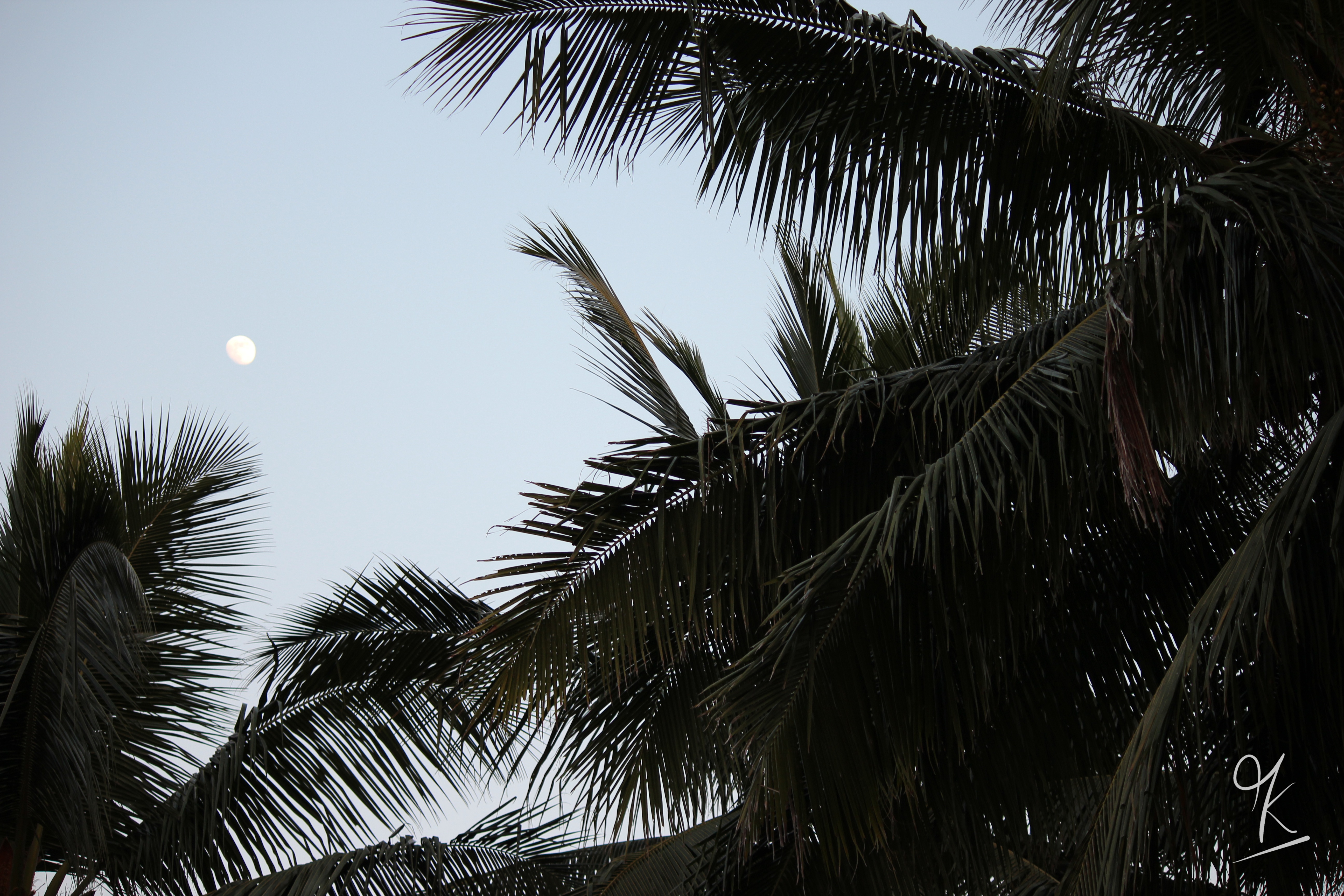
The Moon
Topographic Map of Srikakulam, Andhra Pradesh, India
Find elevation by address:

Places in Srikakulam, Andhra Pradesh, India:
Places near Srikakulam, Andhra Pradesh, India:
Srikakulam
Chintalapeta
Razam
Cheepurupalli
Garividi
Jiranga Buddhists Temple
Jiranga
Mahendragiri
Burusunda
Vizianagaram
Parvathipuram
R. Udayagiri
Gajapati
Makkuva
Salur
Pachipenta
Mohana
Panchpatmali
Maligudabadaneraka
Kakiriguma
Recent Searches:
- Elevation of Shibuya Scramble Crossing, 21 Udagawacho, Shibuya City, Tokyo -, Japan
- Elevation of Jadagoniai, Kaunas District Municipality, Lithuania
- Elevation of Pagonija rock, Kranto 7-oji g. 8"N, Kaunas, Lithuania
- Elevation of Co Rd 87, Jamestown, CO, USA
- Elevation of Tenjo, Cundinamarca, Colombia
- Elevation of Côte-des-Neiges, Montreal, QC H4A 3J6, Canada
- Elevation of Bobcat Dr, Helena, MT, USA
- Elevation of Zu den Ihlowbergen, Althüttendorf, Germany
- Elevation of Badaber, Peshawar, Khyber Pakhtunkhwa, Pakistan
- Elevation of SE Heron Loop, Lincoln City, OR, USA