Elevation of Pachipenta, Andhra Pradesh, India
Location: India > Andhra Pradesh > Vizianagaram >
Longitude: 83.1124329
Latitude: 18.4785757
Elevation: 211m / 692feet
Barometric Pressure: 99KPa
Elevation Map:
Satellite Map:
Related Photos:
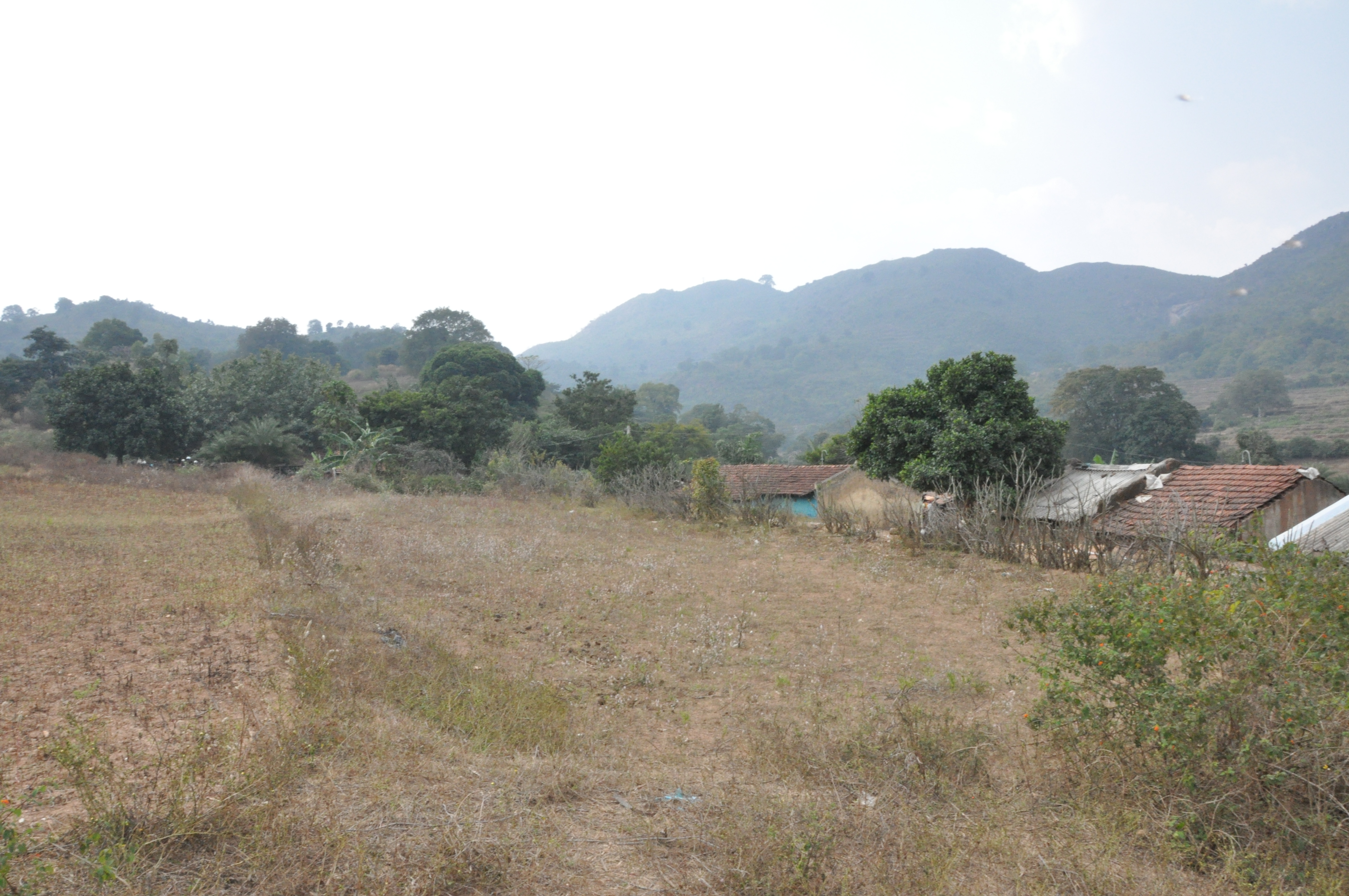
DSC_0165
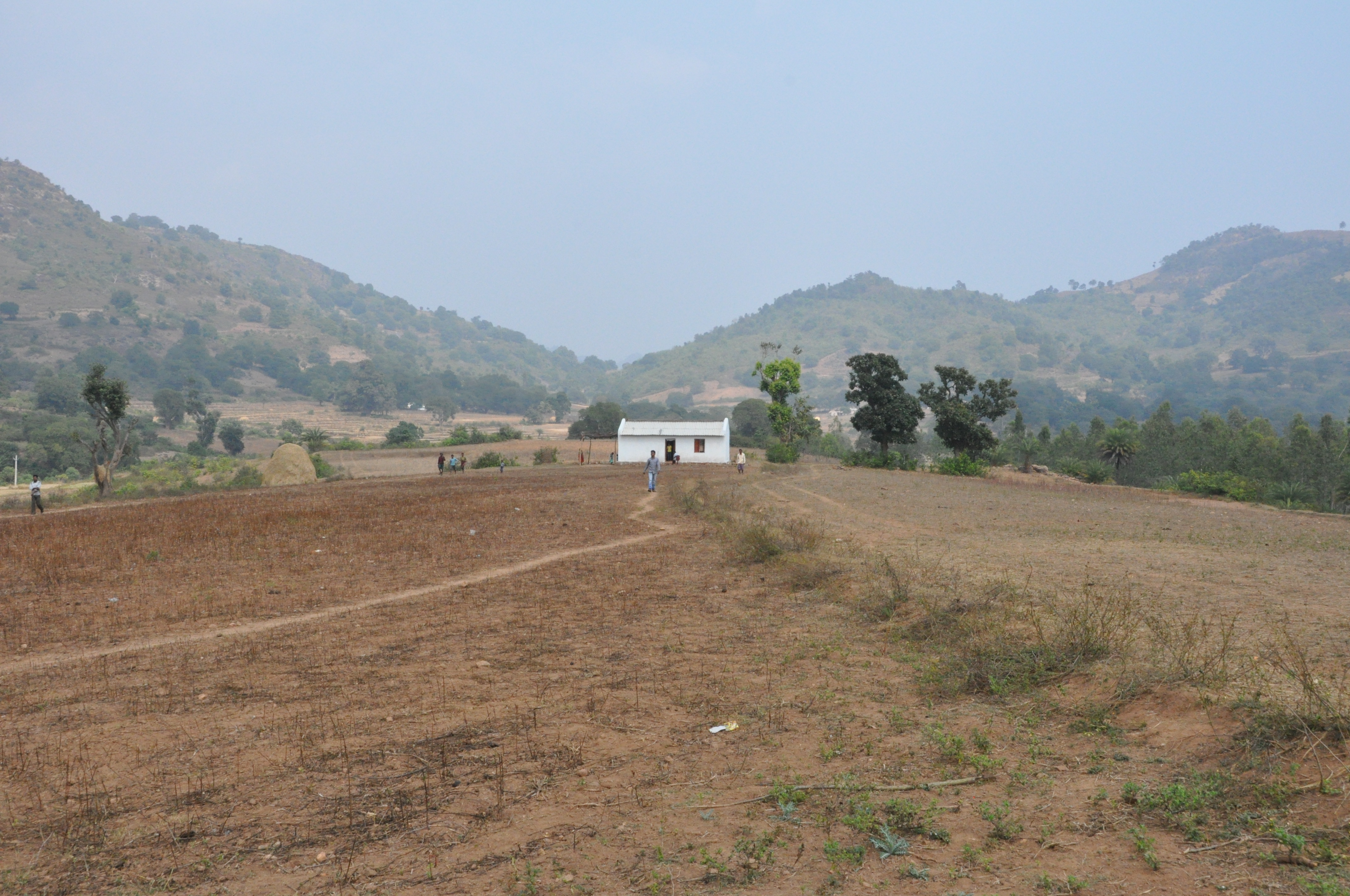
DSC_0162
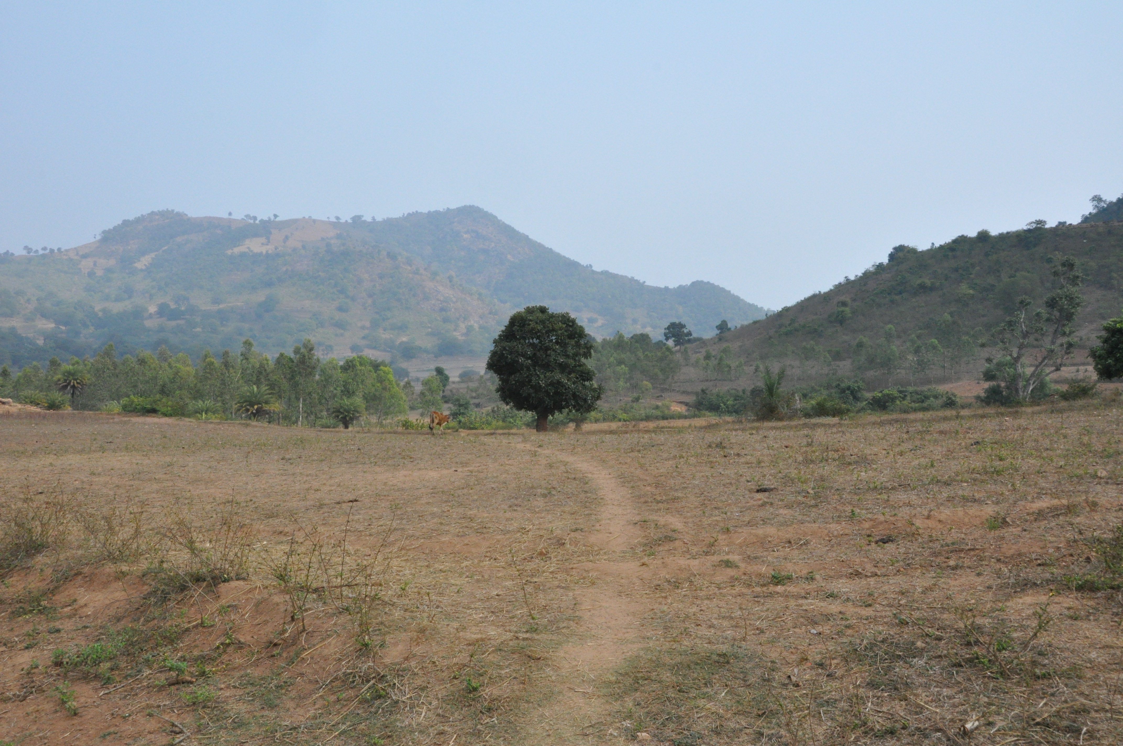
DSC_0159
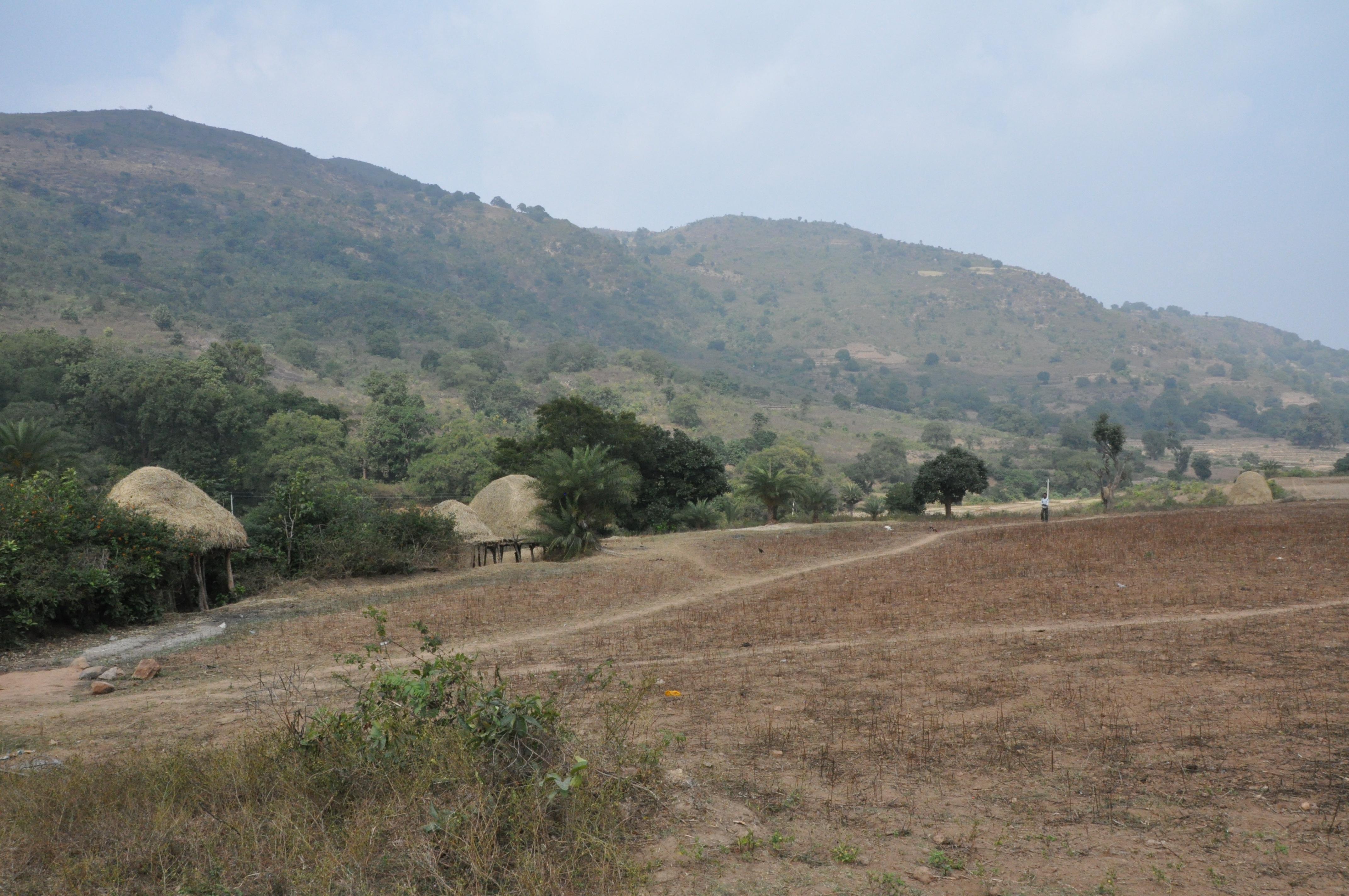
DSC_0163
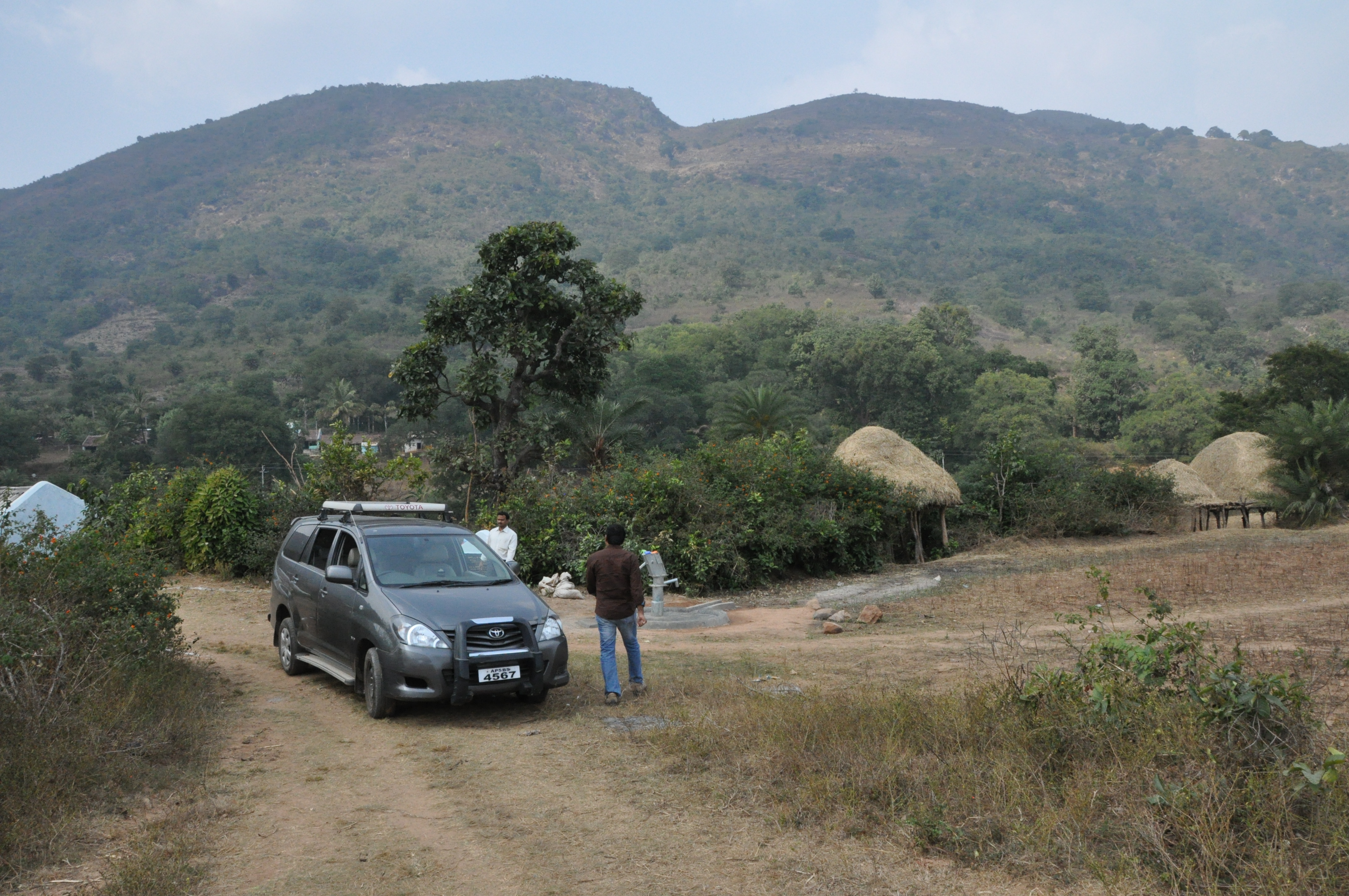
DSC_0164
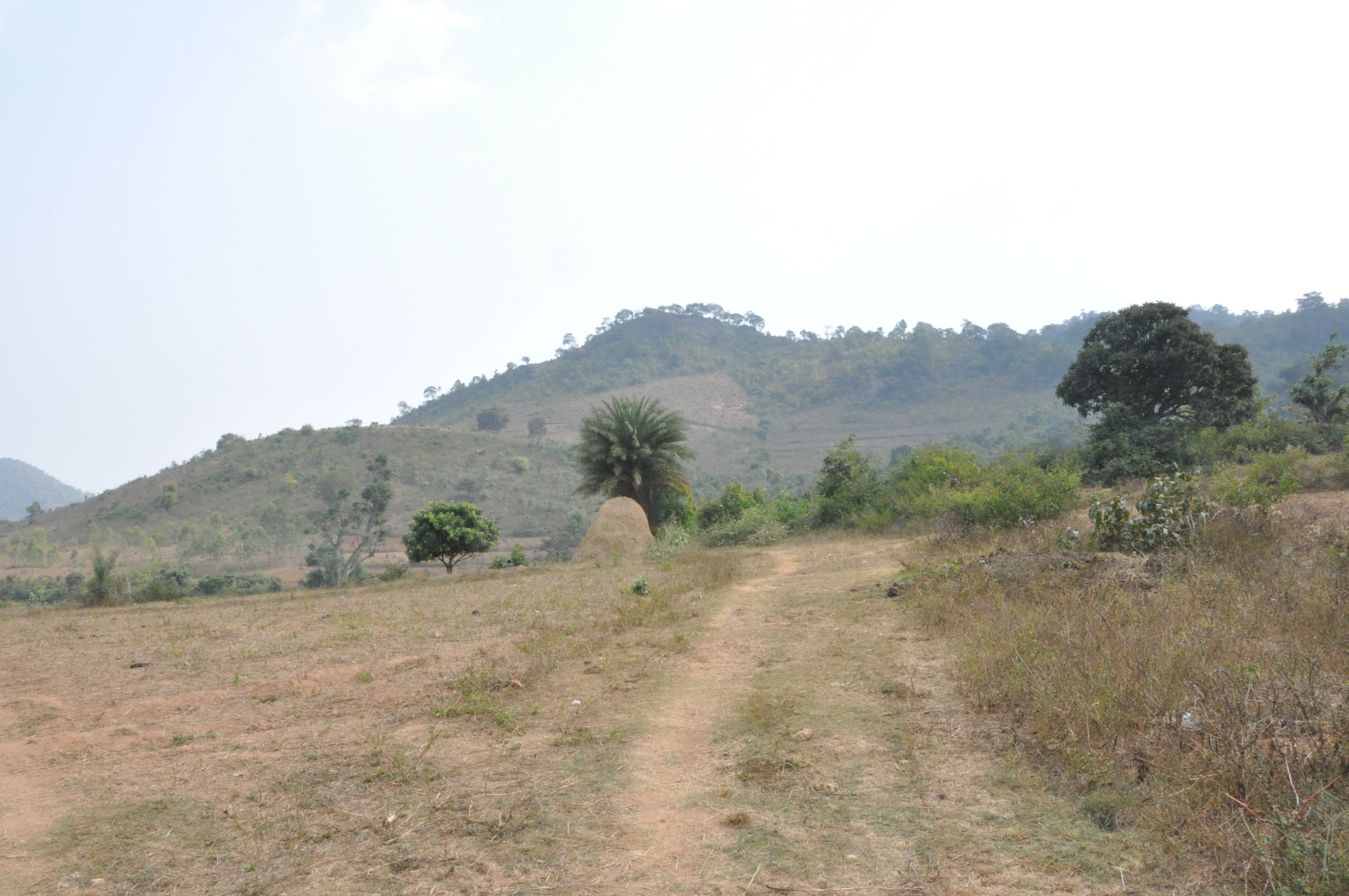
DSC_0166

Rain water streams....
Topographic Map of Pachipenta, Andhra Pradesh, India
Find elevation by address:

Places near Pachipenta, Andhra Pradesh, India:
Salur
Vizianagaram
Makkuva
Panchpatmali
Maligudabadaneraka
Parvathipuram
Kakiriguma
Garividi
Cheepurupalli
Tunupar
Razam
Chintalapeta
Srikakulam
Srikakulam
Jiranga Buddhists Temple
Jiranga
R. Udayagiri
Gajapati
Mahendragiri
Burusunda
Recent Searches:
- Elevation of Lytham Ln, Katy, TX, USA
- Elevation of Tater Hill, Oklahoma, USA
- Elevation of NY-, Friendship, NY, USA
- Elevation of 64 Danakas Dr, Winnipeg, MB R2C 5N7, Canada
- Elevation of 4 Vale Rd, Sheffield S3 9QX, UK
- Elevation of Keene Point Drive, Keene Point Dr, Grant, AL, USA
- Elevation of State St, Zanesville, OH, USA
- Elevation of Austin Stone Dr, Haslet, TX, USA
- Elevation of Bydgoszcz, Poland
- Elevation of Bydgoszcz, Poland