Elevation of Sri Vijaynagar, Rajasthan, India
Location: India > Rajasthan > Sri Ganganagar >
Longitude: 73.5270189
Latitude: 29.236905
Elevation: 160m / 525feet
Barometric Pressure: 99KPa
Elevation Map:
Satellite Map:
Related Photos:
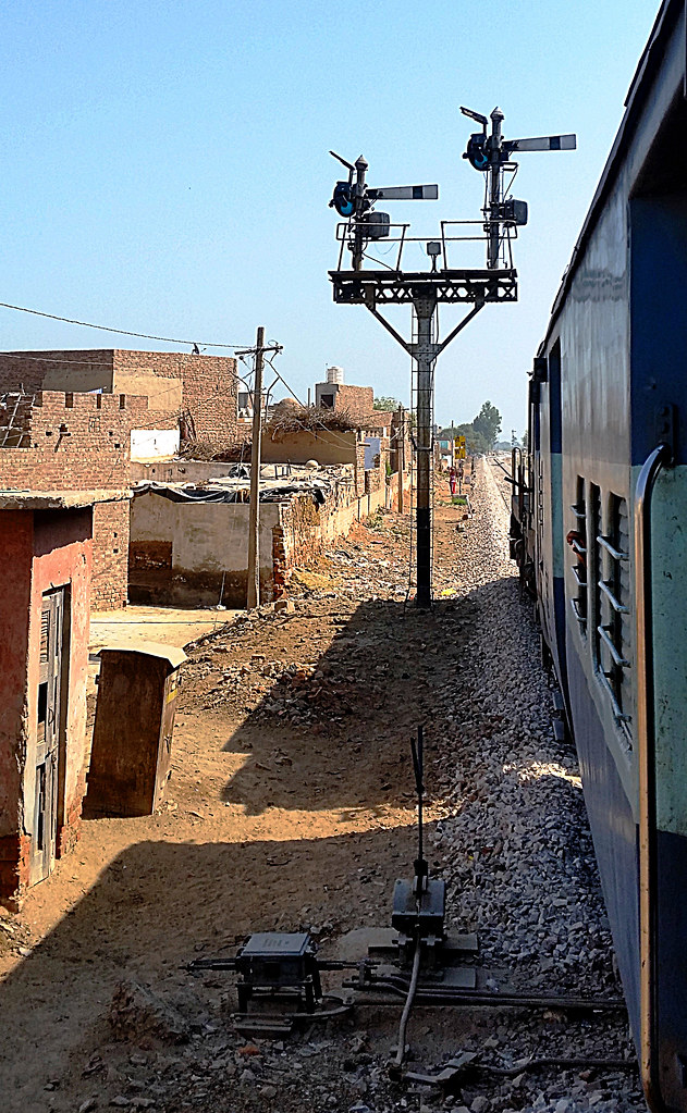
IR WDM3A 18942 59707 semaphores SBNR 110318

Click by Harpal

Yogesh chouhan

Yogesh chouhan

Yogesh chouhan

Yogesh chouhan

Yogesh chouhan
Topographic Map of Sri Vijaynagar, Rajasthan, India
Find elevation by address:

Places near Sri Vijaynagar, Rajasthan, India:
Recent Searches:
- Elevation of Carroll Creek Rd, Custer, SD, USA
- Elevation of Lust Road, Lust Rd, Florida, USA
- Elevation of Pleasant Valley Rd NW, Adairsville, GA, USA
- Elevation of Općina Šodolovci, Croatia
- Elevation of Šodolovci, Croatia
- Elevation of Old Clairton Rd, Jefferson Hills, PA, USA
- Elevation of st Ave SE, Lisbon, ND, USA
- Elevation of Steamboat Island Road Northwest, Olympia, WA, USA
- Elevation of Kootenai Trail Rd, Bonners Ferry, ID, USA
- Elevation of Hickory Blvd, Bonita Springs, FL, USA