Elevation of Sardarshahar, Rajasthan, India
Location: India > Rajasthan > Churu >
Longitude: 74.493705
Latitude: 28.440419
Elevation: 253m / 830feet
Barometric Pressure: 98KPa
Elevation Map:
Satellite Map:
Related Photos:

Hi! posting after a really long time. This one is from the diwali ride to home and back.
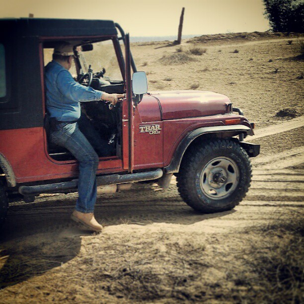
Thar is ready to tackle the dunes
Topographic Map of Sardarshahar, Rajasthan, India
Find elevation by address:

Places near Sardarshahar, Rajasthan, India:
Recent Searches:
- Elevation of 15 Victory Ave, Greenville, SC, USA
- Elevation of Kota Ternate Utara, Ternate City, North Maluku, Indonesia
- Elevation of Allon St, Oceanside, NY, USA
- Elevation of Carroll Creek Rd, Custer, SD, USA
- Elevation of Lust Road, Lust Rd, Florida, USA
- Elevation of Pleasant Valley Rd NW, Adairsville, GA, USA
- Elevation of Općina Šodolovci, Croatia
- Elevation of Šodolovci, Croatia
- Elevation of Old Clairton Rd, Jefferson Hills, PA, USA
- Elevation of st Ave SE, Lisbon, ND, USA