Elevation of Squaw Mountain, New Mexico, USA
Location: United States > New Mexico > Doña Ana County > Las Cruces >
Longitude: -106.59027
Latitude: 32.3134268
Elevation: 1982m / 6503feet
Barometric Pressure: 80KPa
Elevation Map:
Satellite Map:
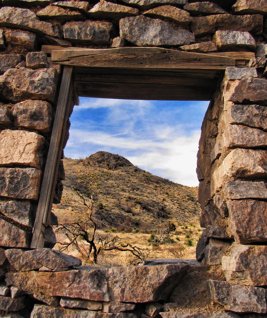
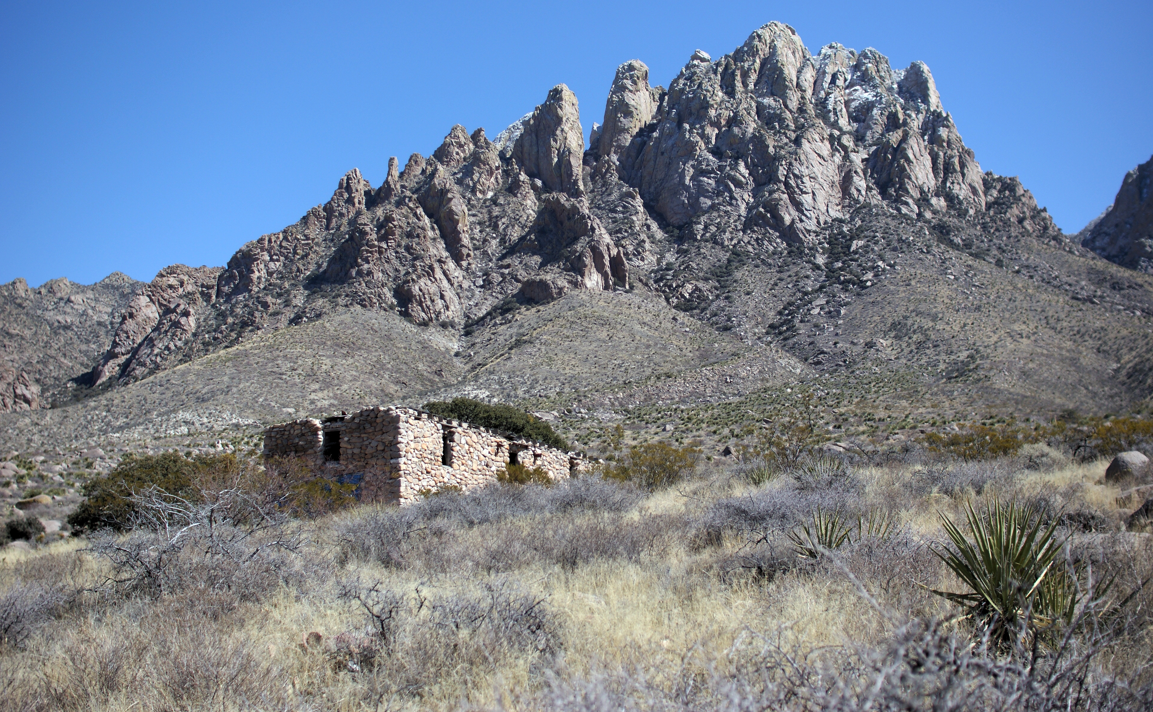
Related Photos:
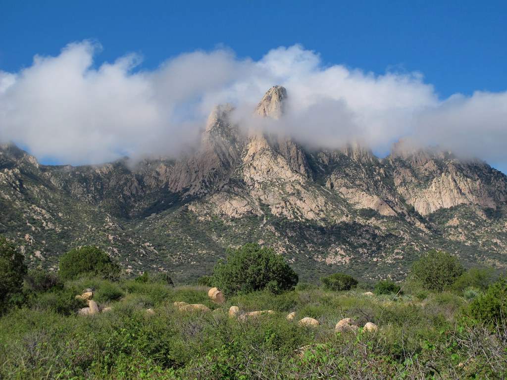
Cloud Shroud
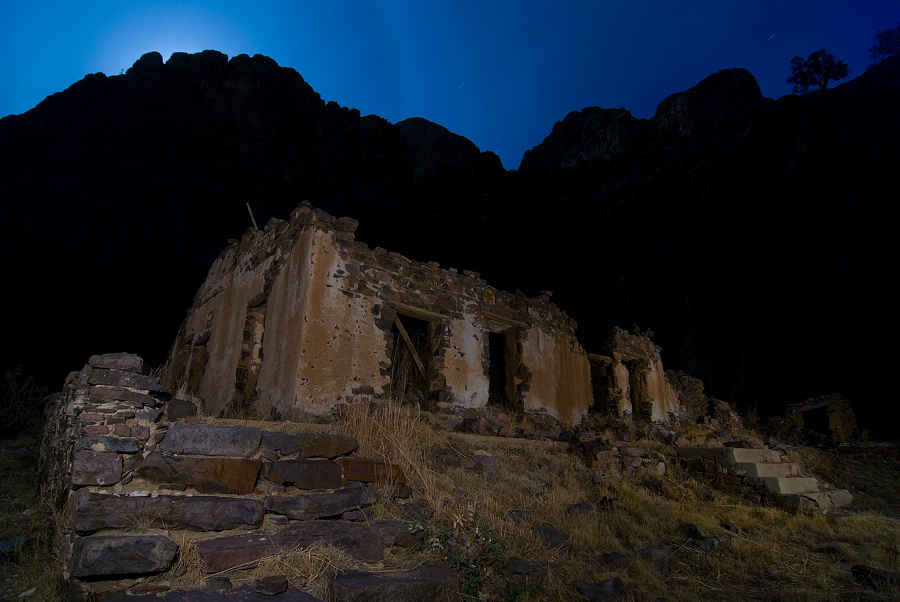
Moonrise Van Patten

Van Patten Back Wall

Moonrise, Organ Mountains, New Mexico
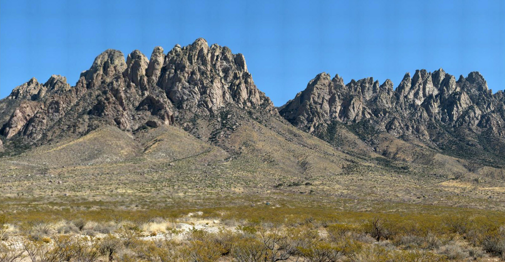
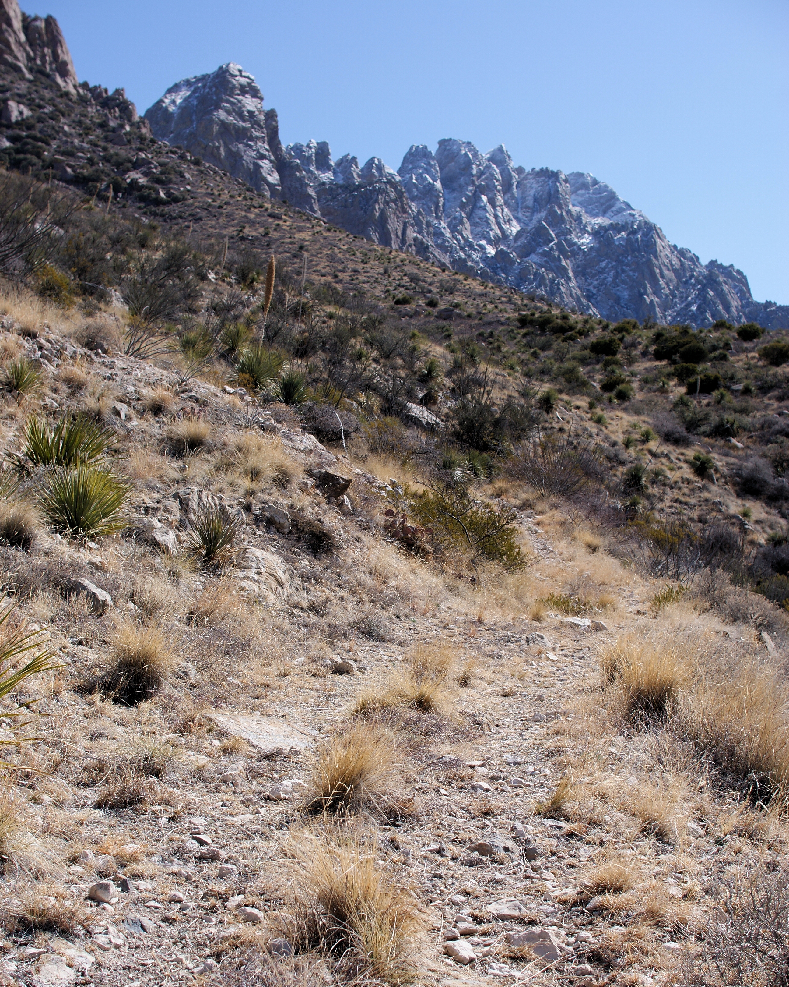
Organ Mountains
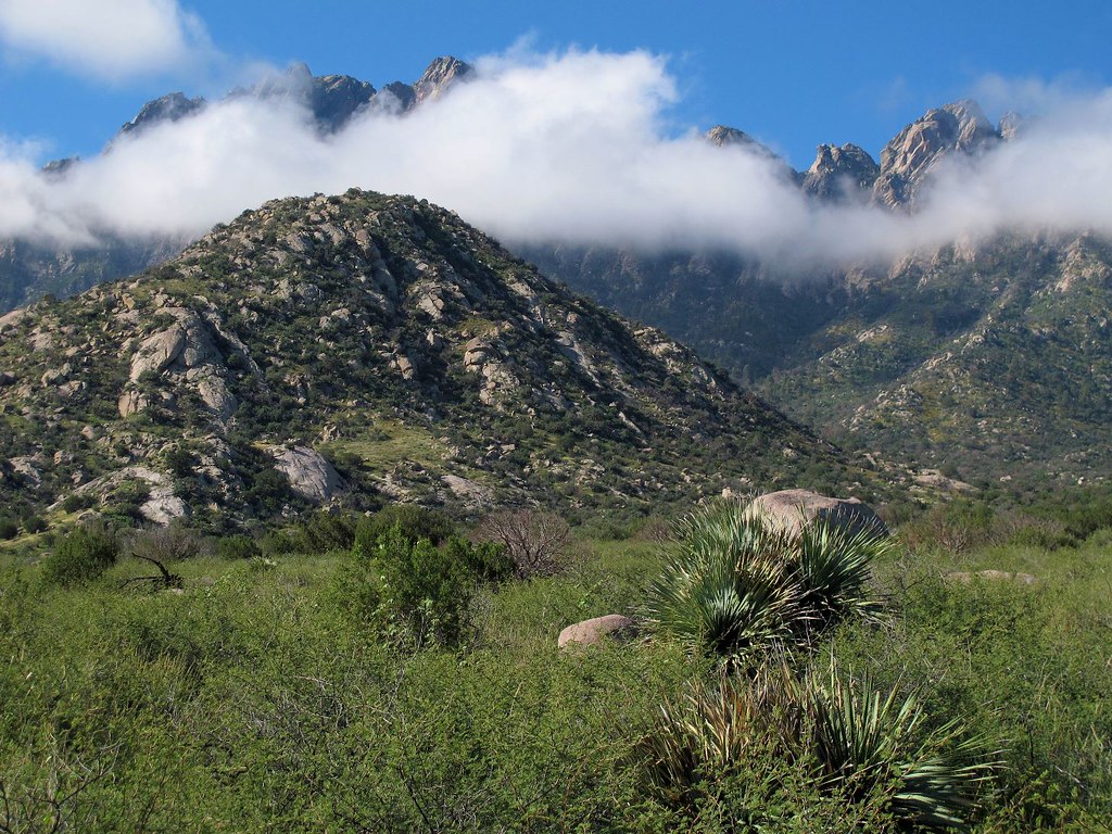
Poofy Clouds and Gnarly Mountains
the view
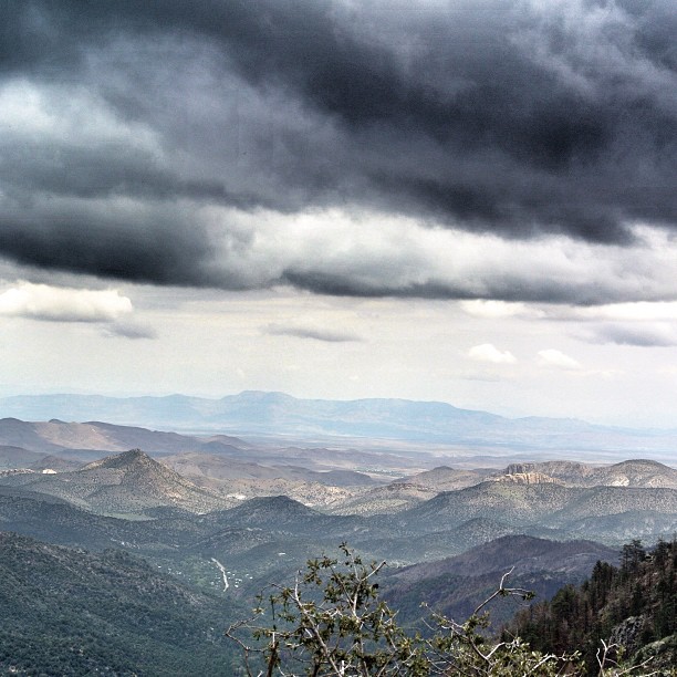
View from Emory Pass in the Black Range. Emory Pass is the highest point on NM Highway 152. The views are spectacular but sadly the damage from forest fires are very evident. I will post more photos tomorrow. Photo edited with snapseed #emorypass #gilanat

View of "A" Mountain from Soledad Canyon in Organ Mountain foothills
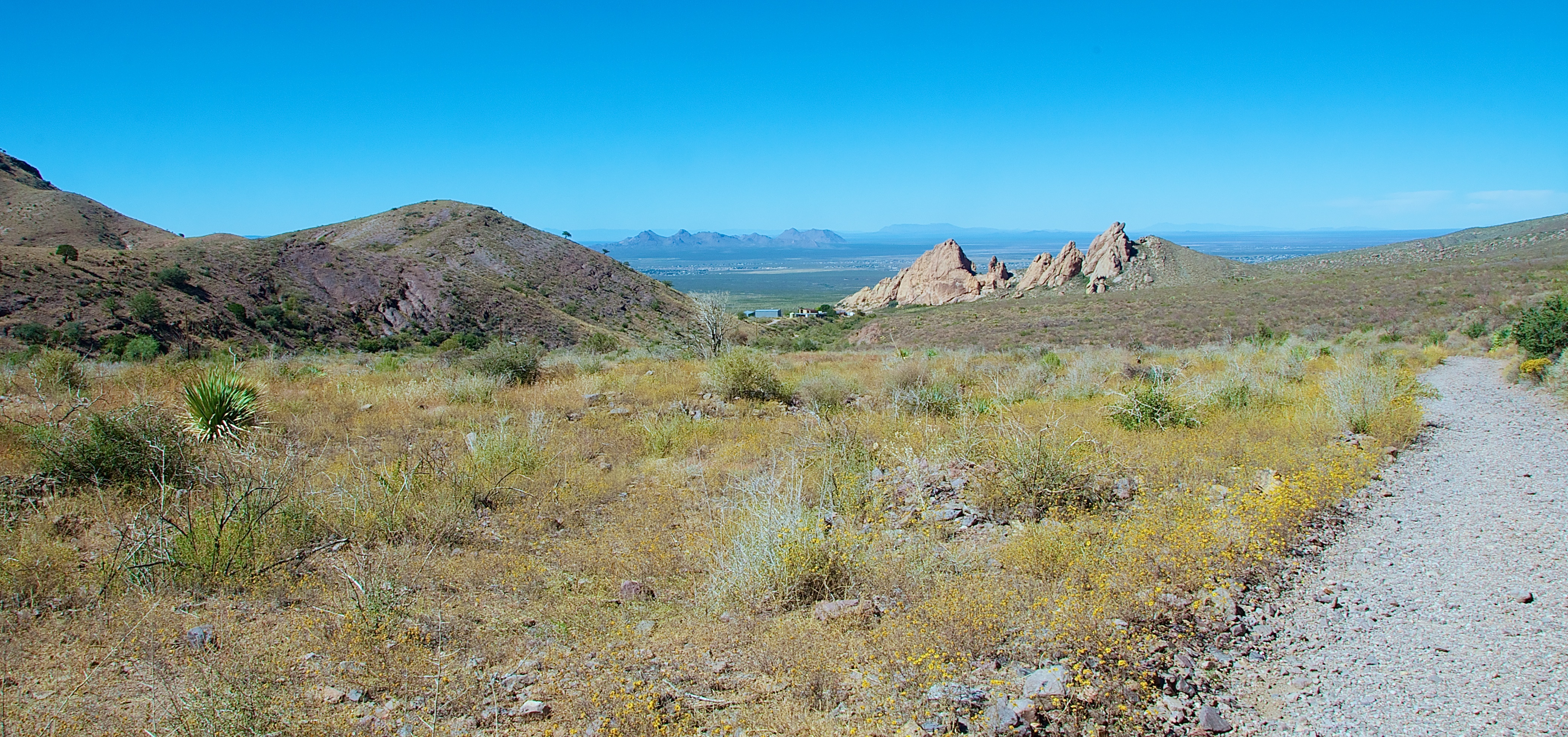
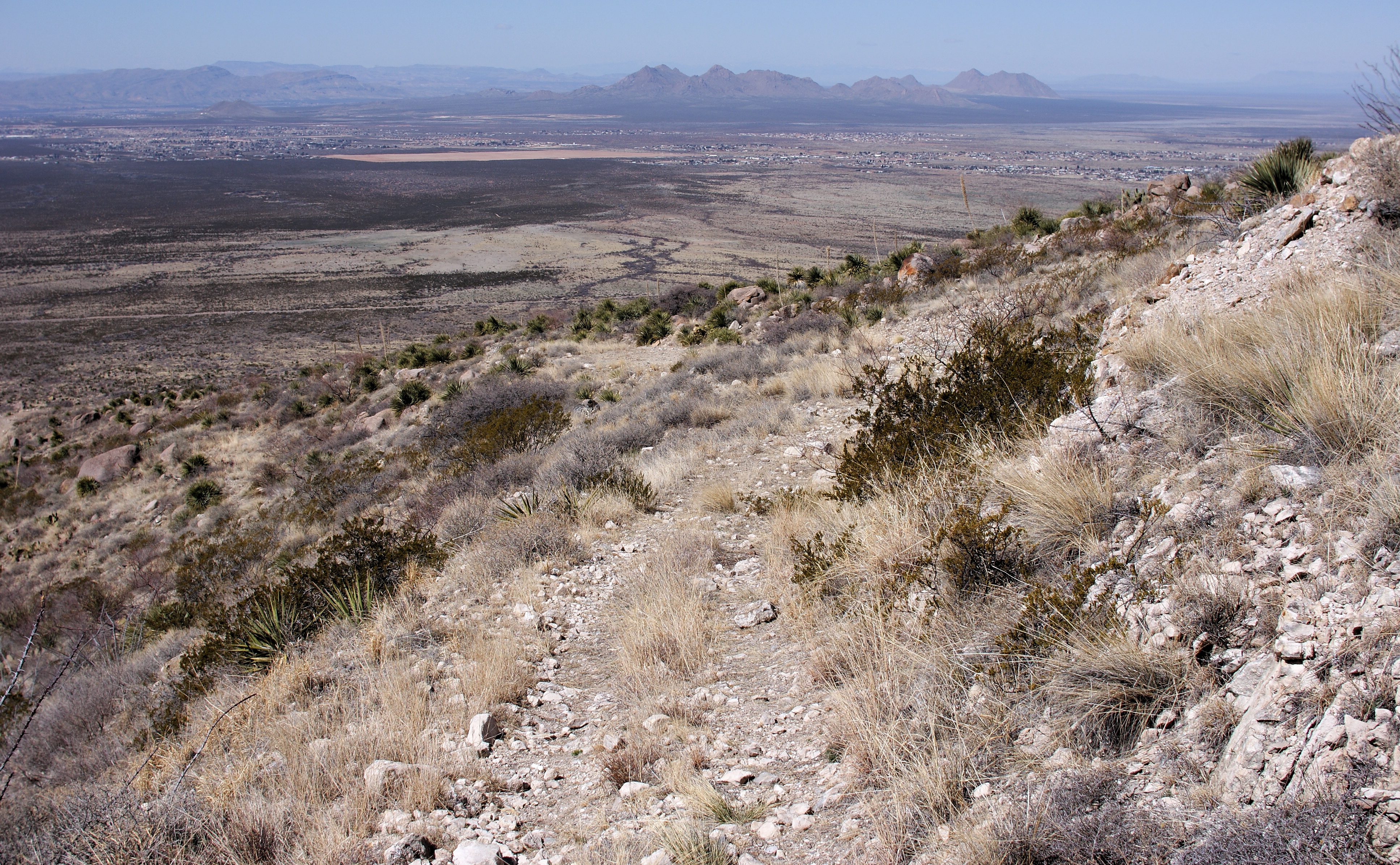
Looking Back to Las Cruces
One last early-afternoon look at the Rabbit Ears and Mine House
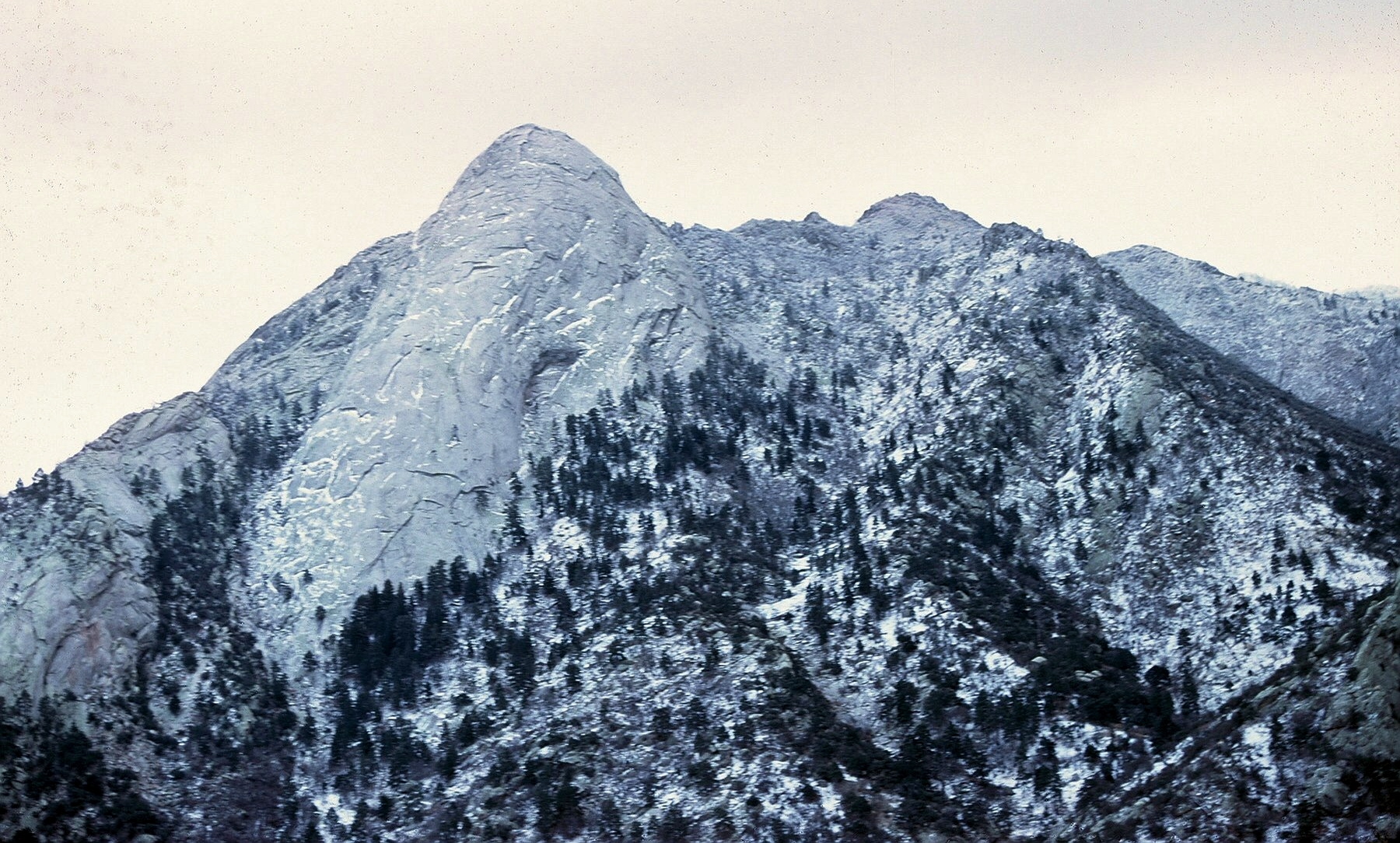
Cold, hard, beautiful
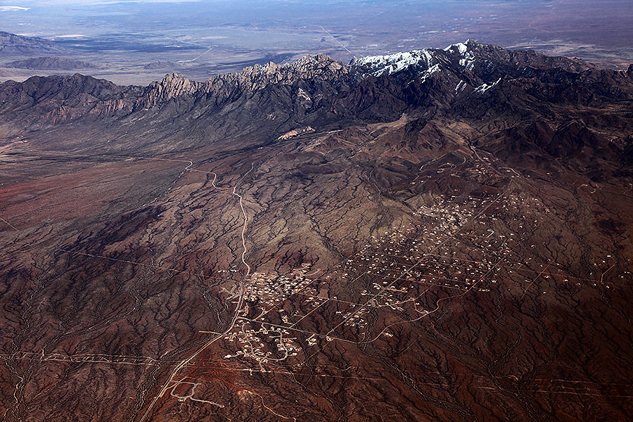
Aerial View of Boyd, New Mexico
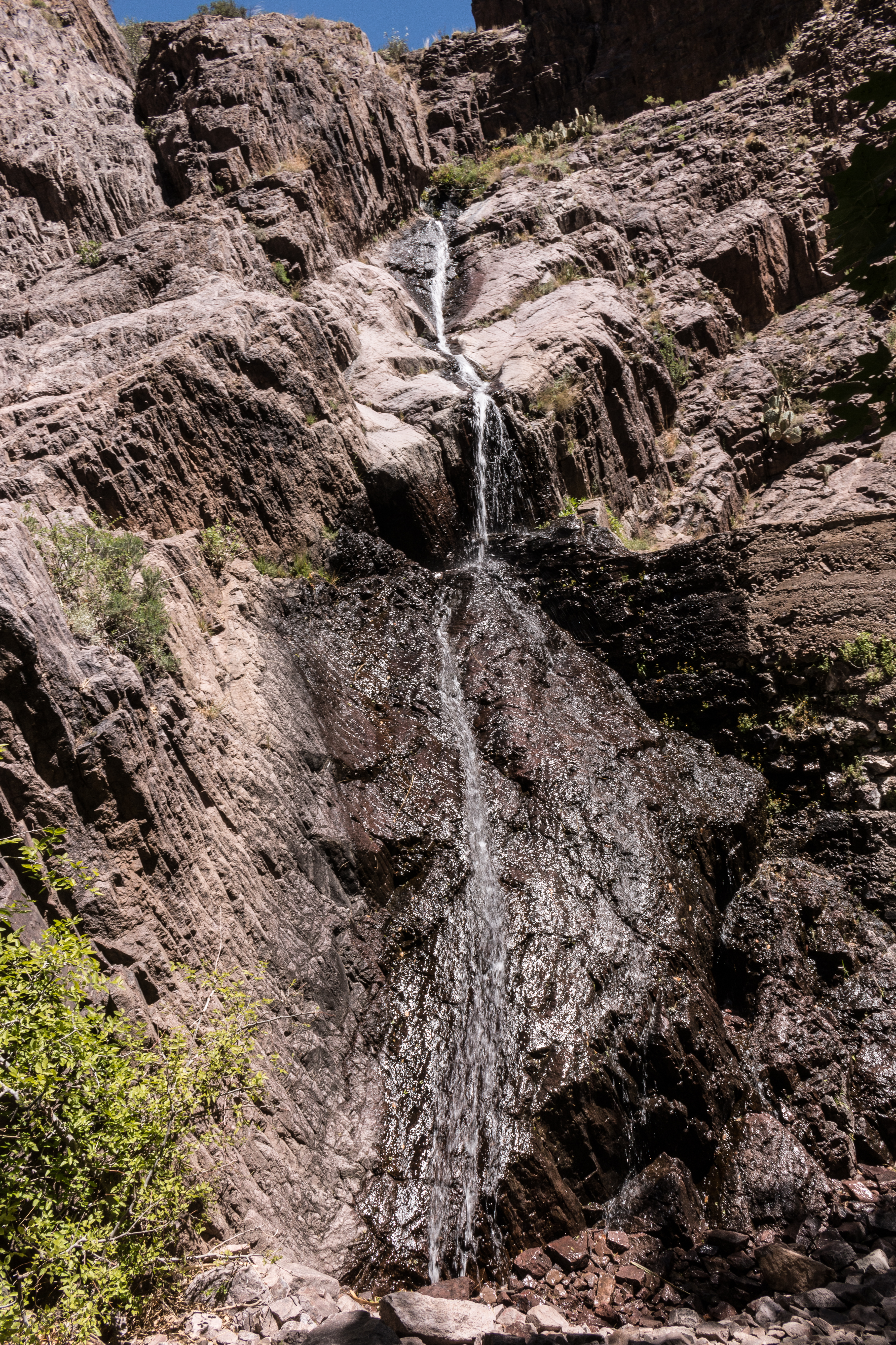
Behind the Waterfall at Bar Canyon-7588
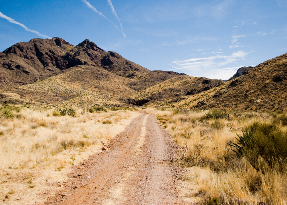
Achenbach Canyon Trail Road
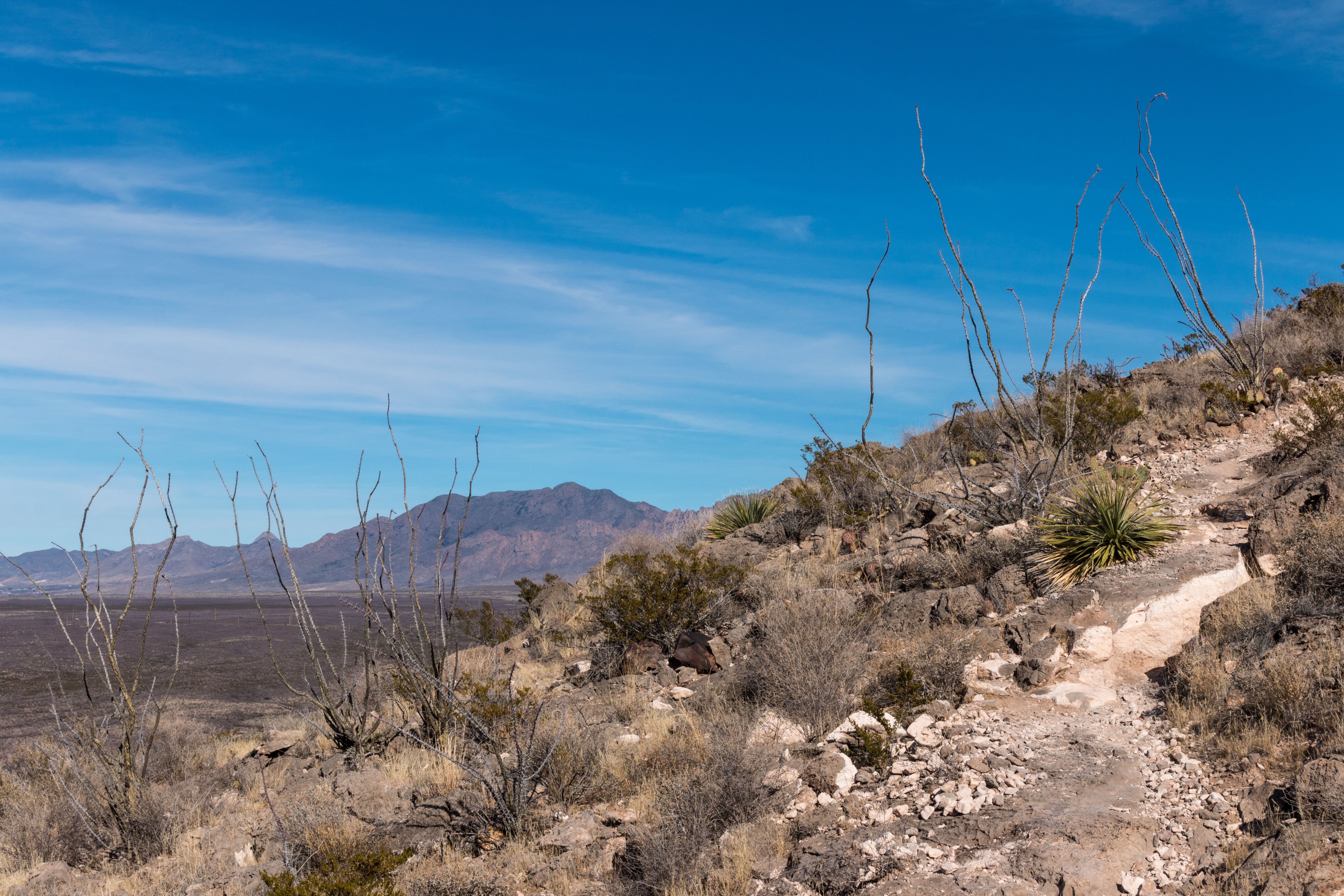
The subtle road and The Needles
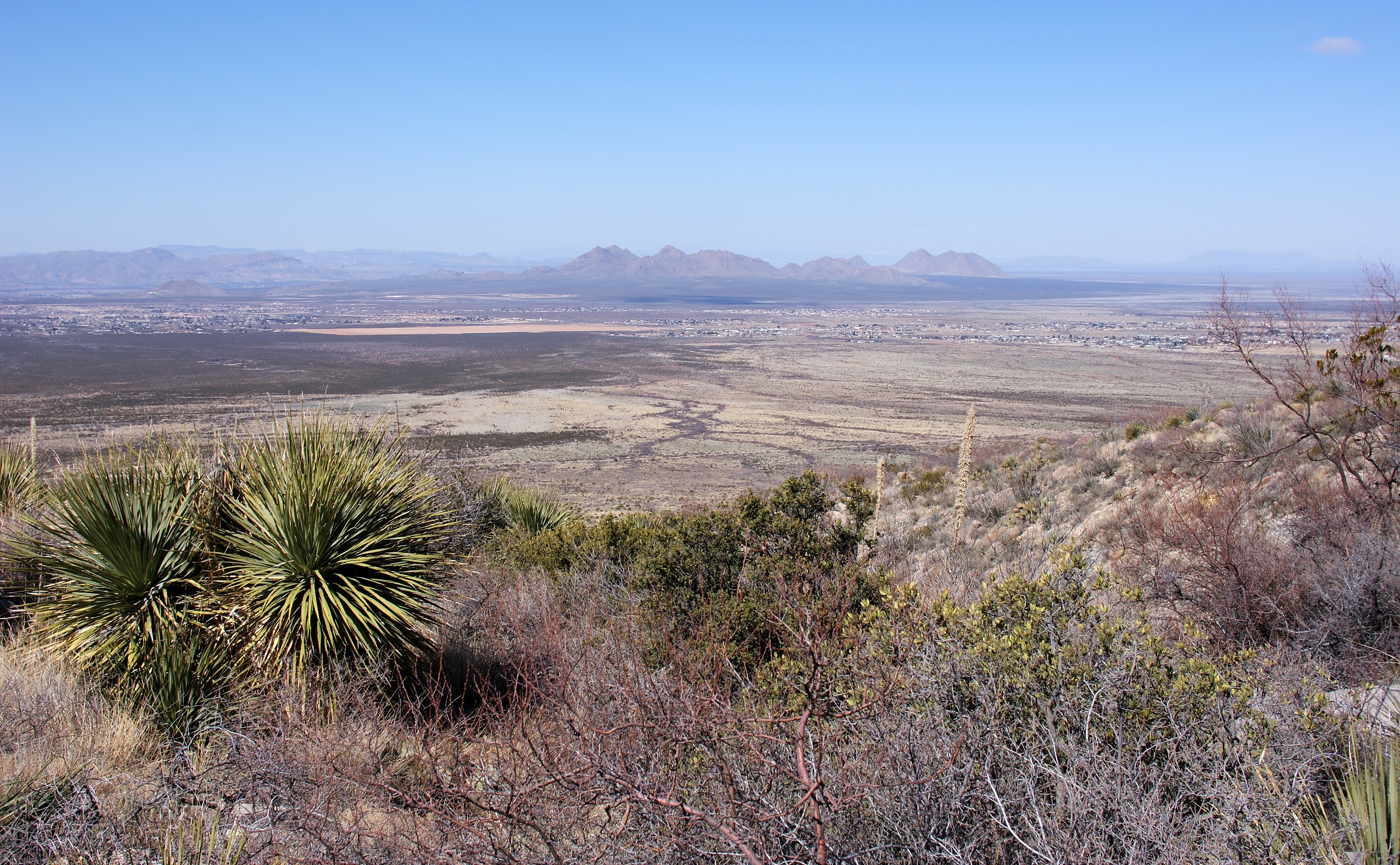
Mesilla Valley
Subtle mine road
Tortugas with Kevin-5716
Achenbach Canyon Lower Dam Long View

Clouds, clouds, and more clouds
Topographic Map of Squaw Mountain, New Mexico, USA
Find elevation by address:

Places near Squaw Mountain, New Mexico, USA:
Soledad Canyon Day Use Area
13200 Soledad Canyon Rd
Dripping Springs Trail
Baldy Peak
181 Pena Blanca Loop
Organ Peak
10130 Soledad Canyon Rd
Dripping Springs Road
5037 Chippewa Trail
5899 Catamount Dr
8485 Mescal Bean Ct
5455 Remington Rd
5416 Remington Rd
5095 Wind Summit Pl
4511 Paseo Azul
5512 Artist Rd
1700 Salinas Dr
4911 Quail Run Ave
Sonoma Ranch Boulevard
3241 Fairway Dr
Recent Searches:
- Elevation of Corso Fratelli Cairoli, 35, Macerata MC, Italy
- Elevation of Tallevast Rd, Sarasota, FL, USA
- Elevation of 4th St E, Sonoma, CA, USA
- Elevation of Black Hollow Rd, Pennsdale, PA, USA
- Elevation of Oakland Ave, Williamsport, PA, USA
- Elevation of Pedrógão Grande, Portugal
- Elevation of Klee Dr, Martinsburg, WV, USA
- Elevation of Via Roma, Pieranica CR, Italy
- Elevation of Tavkvetili Mountain, Georgia
- Elevation of Hartfords Bluff Cir, Mt Pleasant, SC, USA