Elevation of Spurling Dr, Hixson, TN, USA
Location: United States > Tennessee > Hamilton County > Middle Valley >
Longitude: -85.203053
Latitude: 35.179105
Elevation: 225m / 738feet
Barometric Pressure: 99KPa
Elevation Map:
Satellite Map:
Related Photos:
Coolidge Park Snowstorm

Autumn Colors (edit)
Middle Creek Bridge, Rainbow Lake Trail - Signal Mountain, Tennessee
Toxicodendron radicans (Poison Ivy) Anacardiaceae
Keep it Full

Week 42: Orange

~Sunset Fishing~

Lake view

Lake view
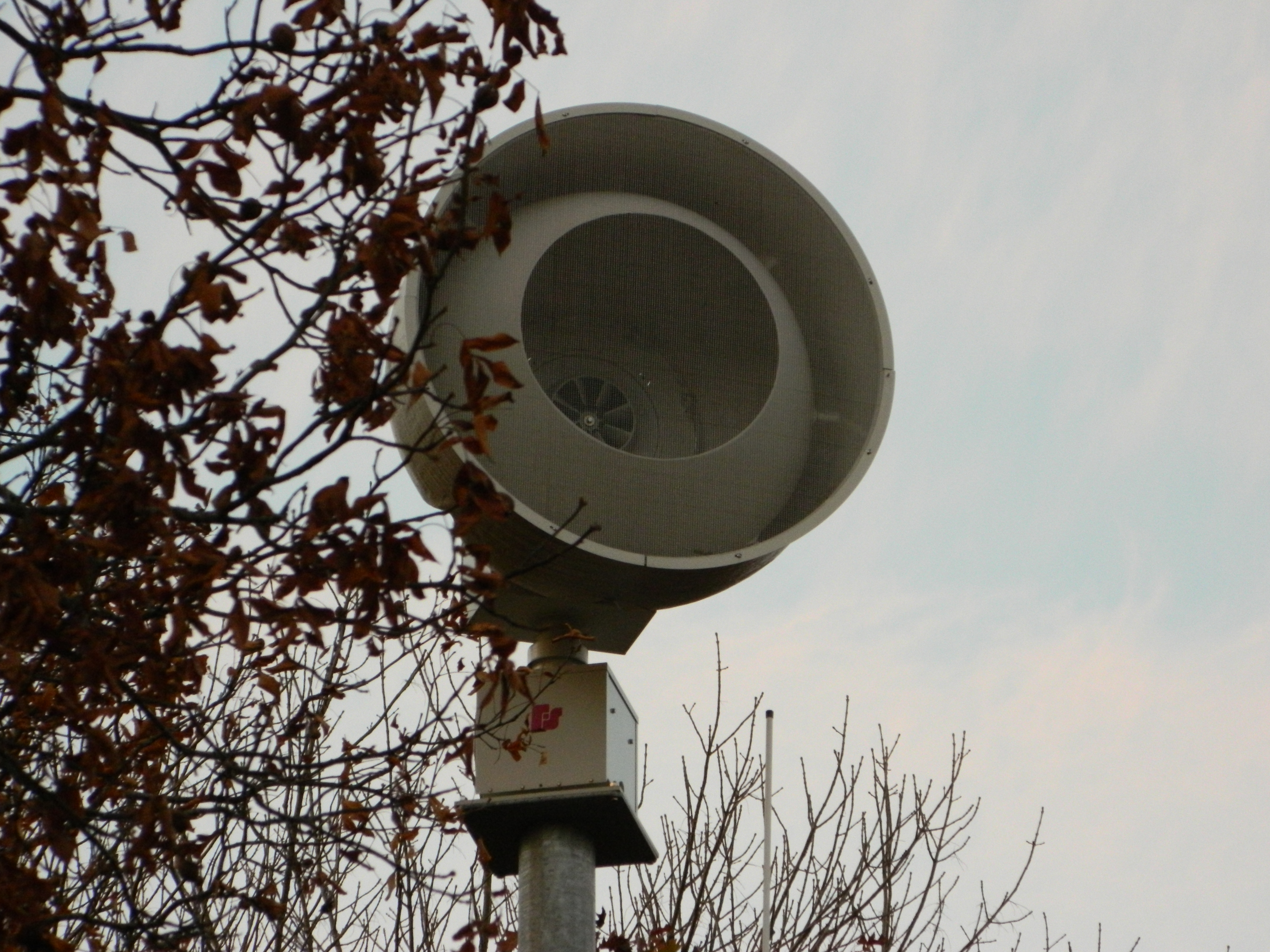
Federal Signal 508
Must be an interesting place to work. I bet it has a good view.

Common Loon
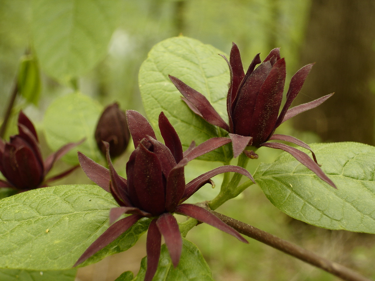
Calycanthus floridus (Sweetshrub, Carolina Allspice) Calycanthaceae
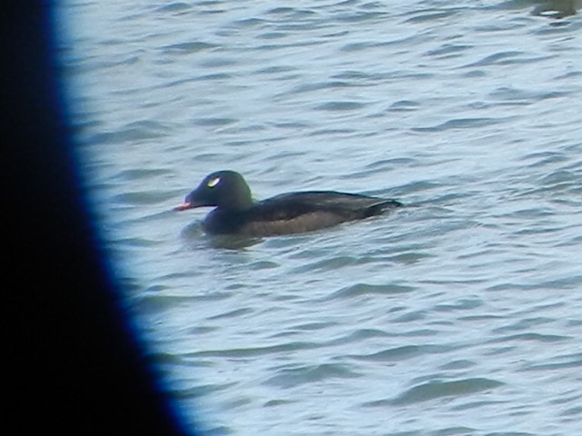
ww scoter male Chickamauga2
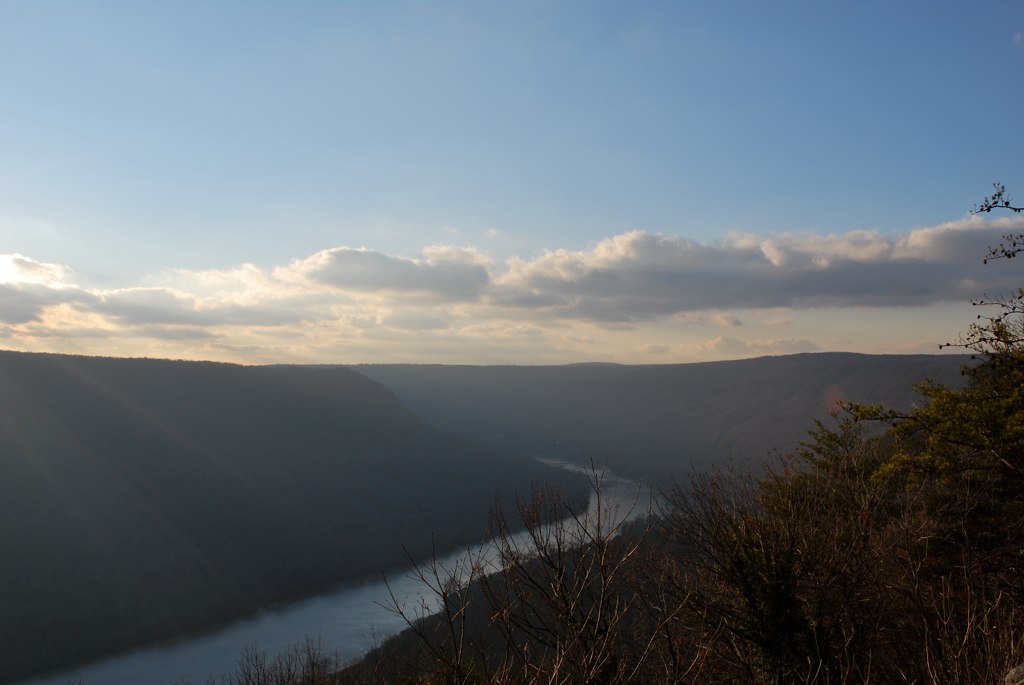
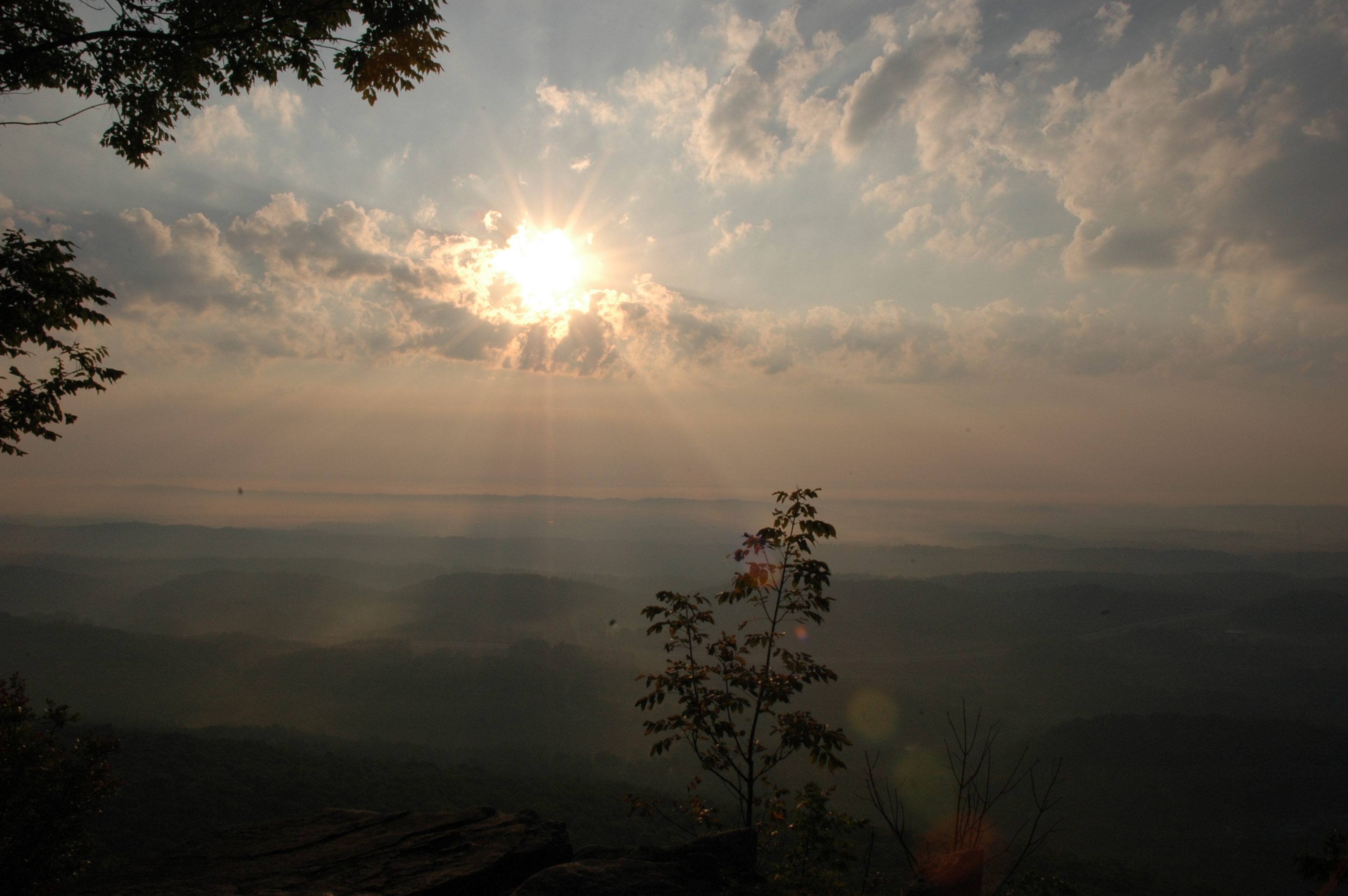
The View from Signal Mountain
WBrowSignalMtn-4
WBrowSignalMtn-2
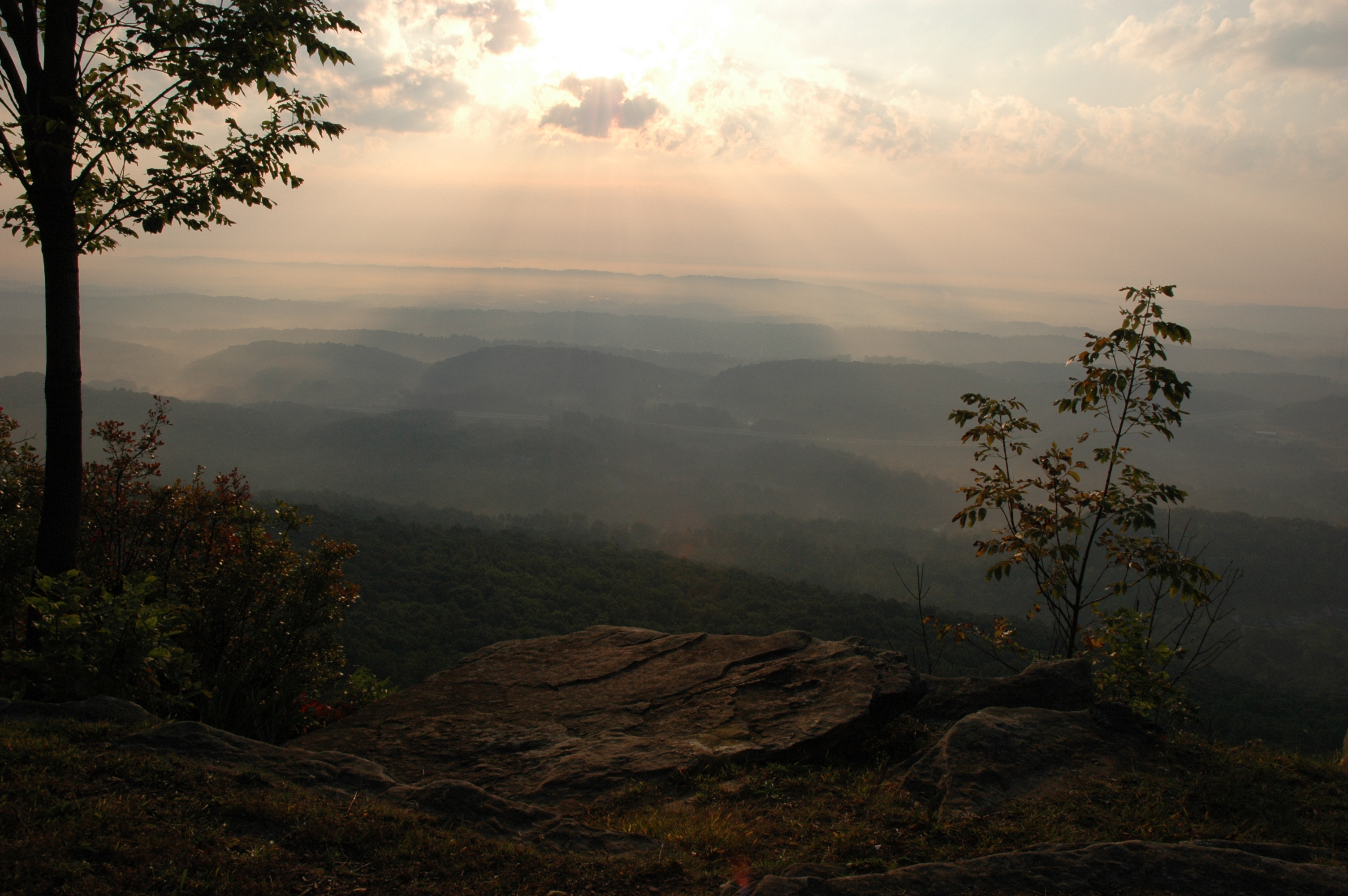
The View from Signal Mountain
WBrowSignalMtn-1
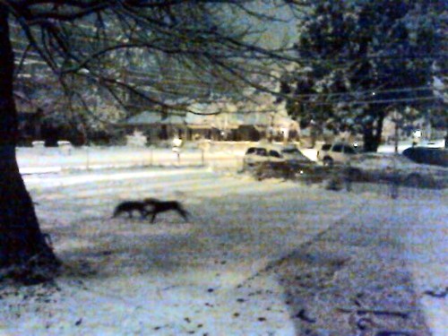
Snow 2014

Imposition of Ashes, Ash Wednesday 2013 - m4200
North Chickamauga Trail Segment of the Cumberland Trail
Signal Mountain
North Chickamauga Trail Segment of the Cumberland Trail
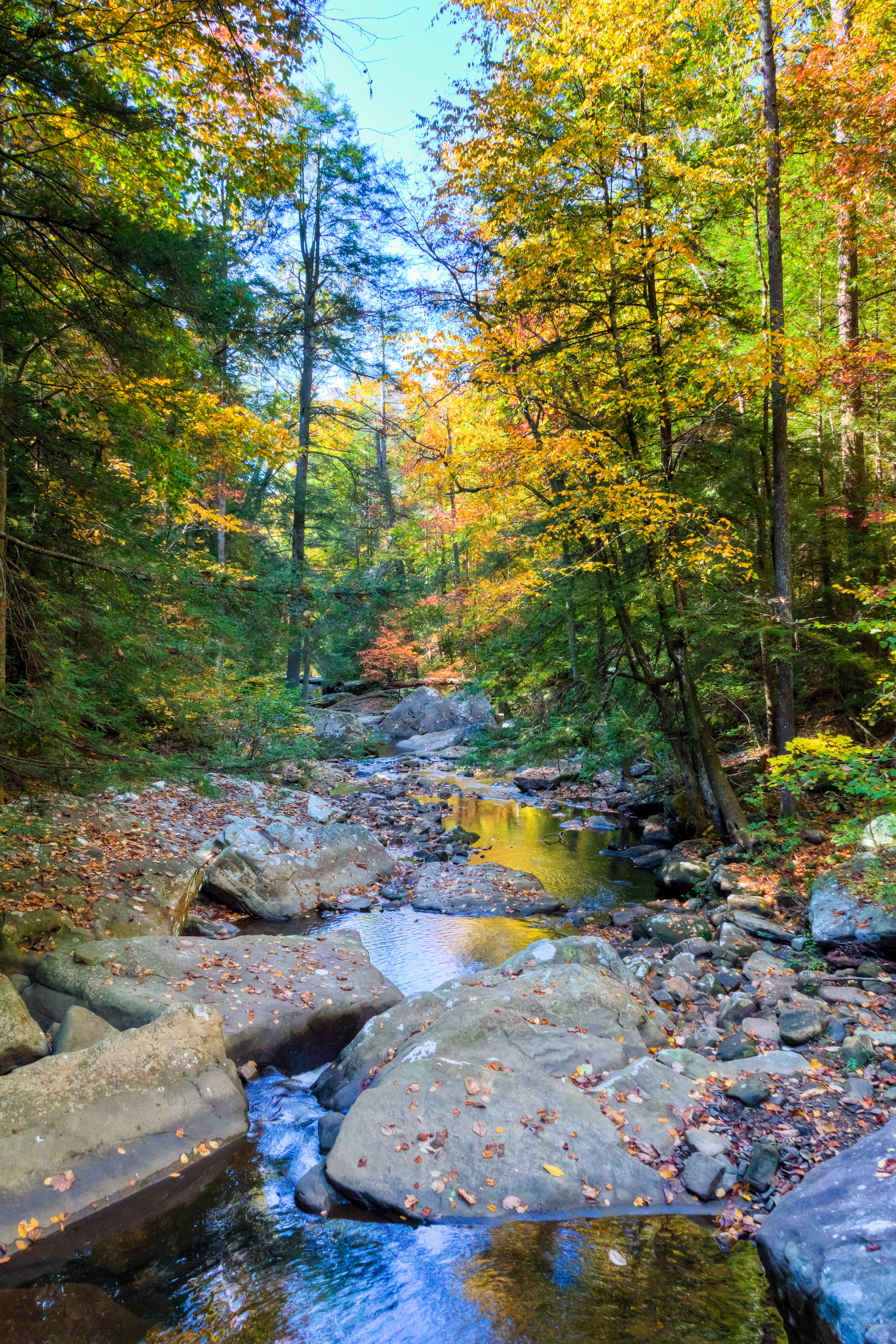
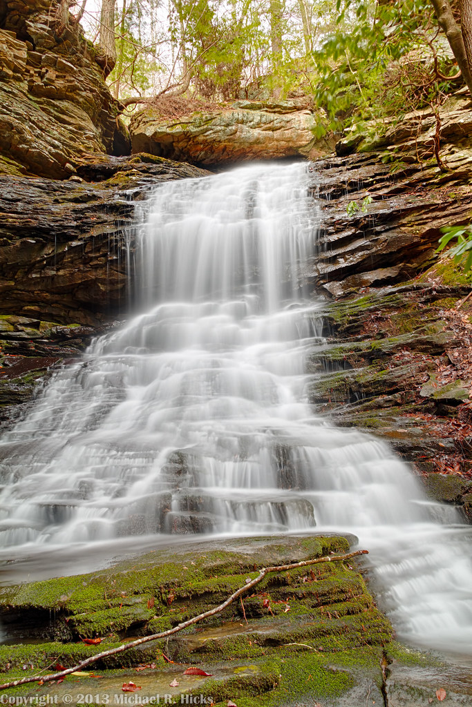
Creek Near Signal Mountain, Tennessee
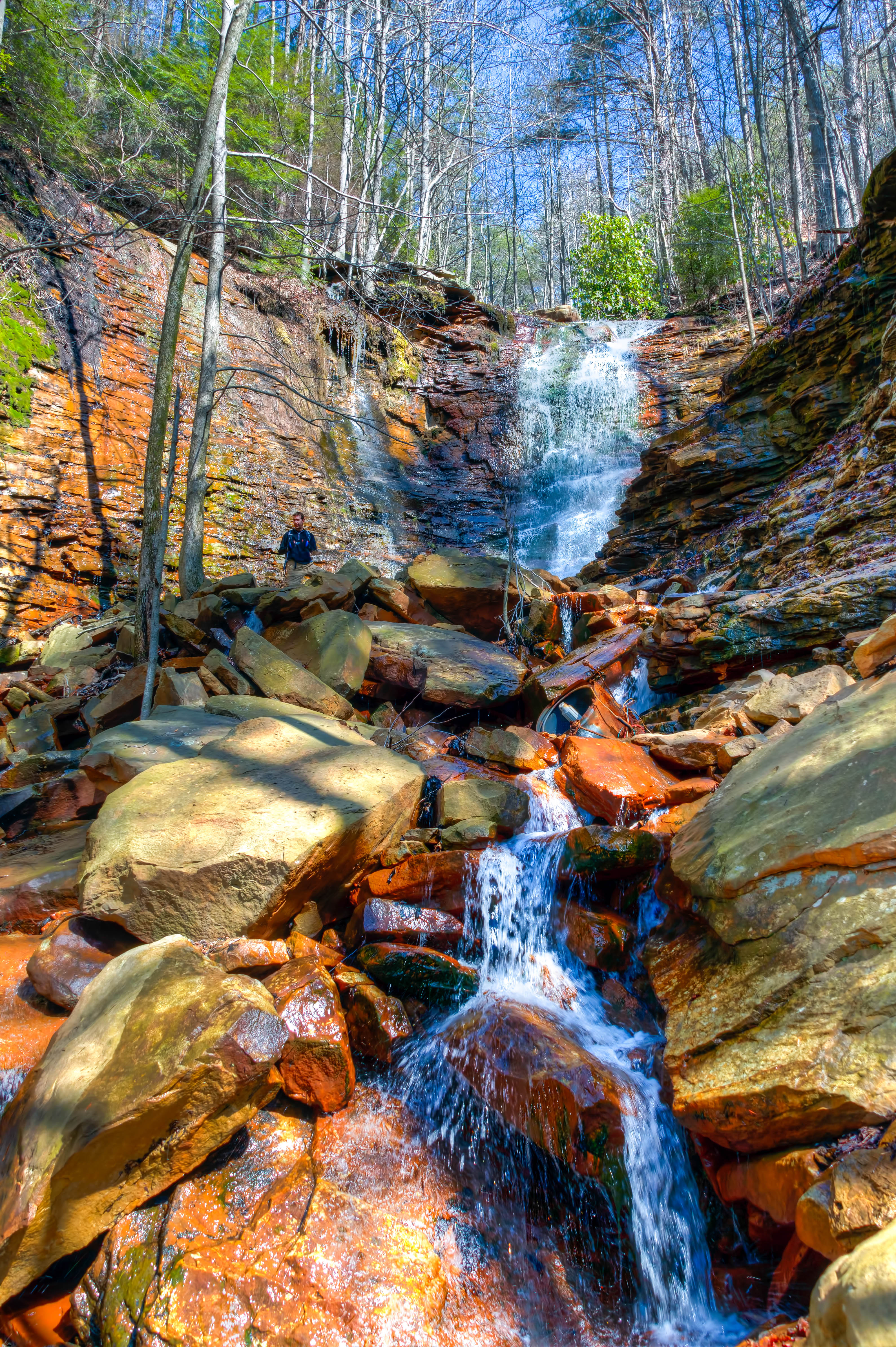
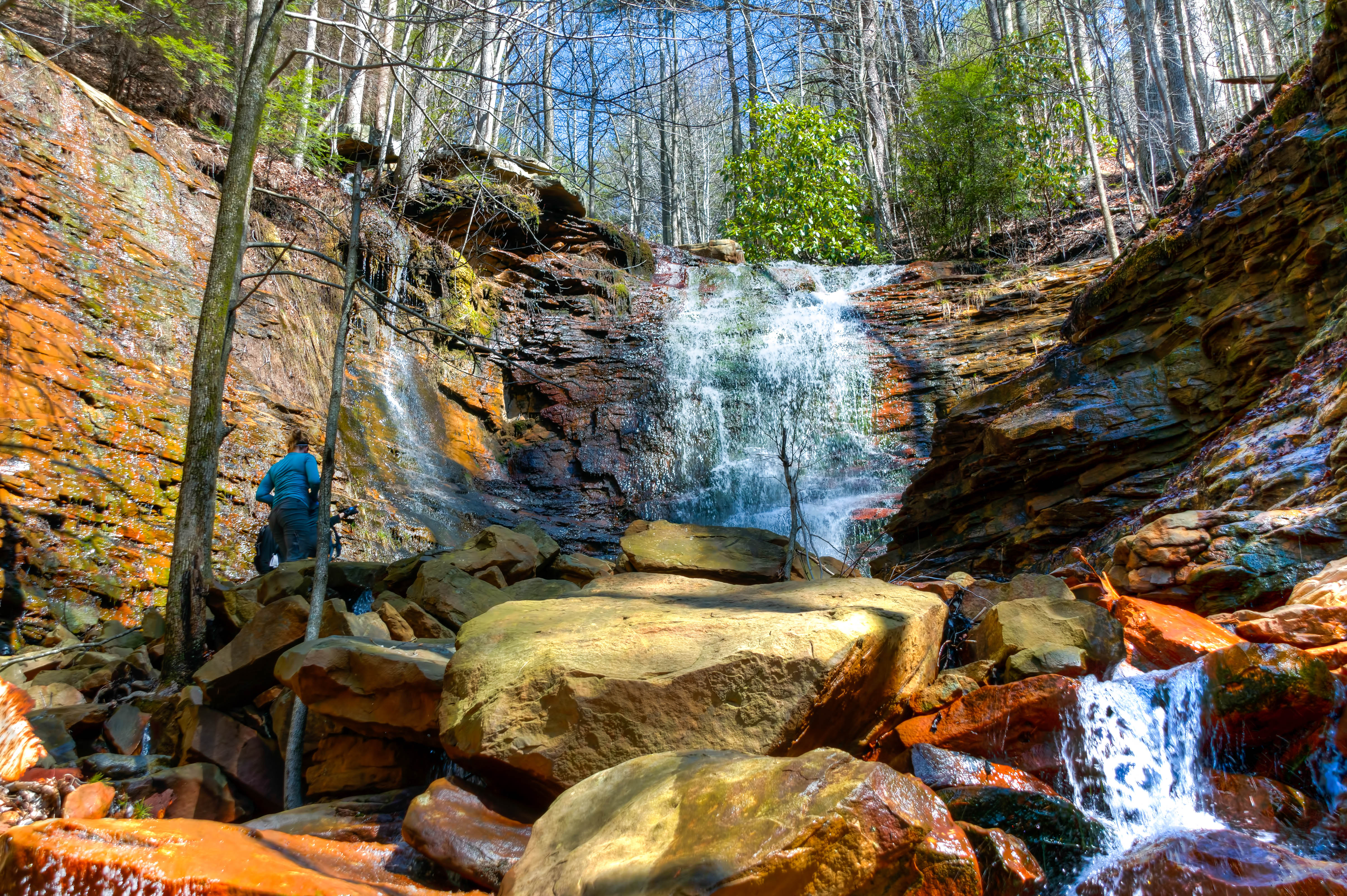
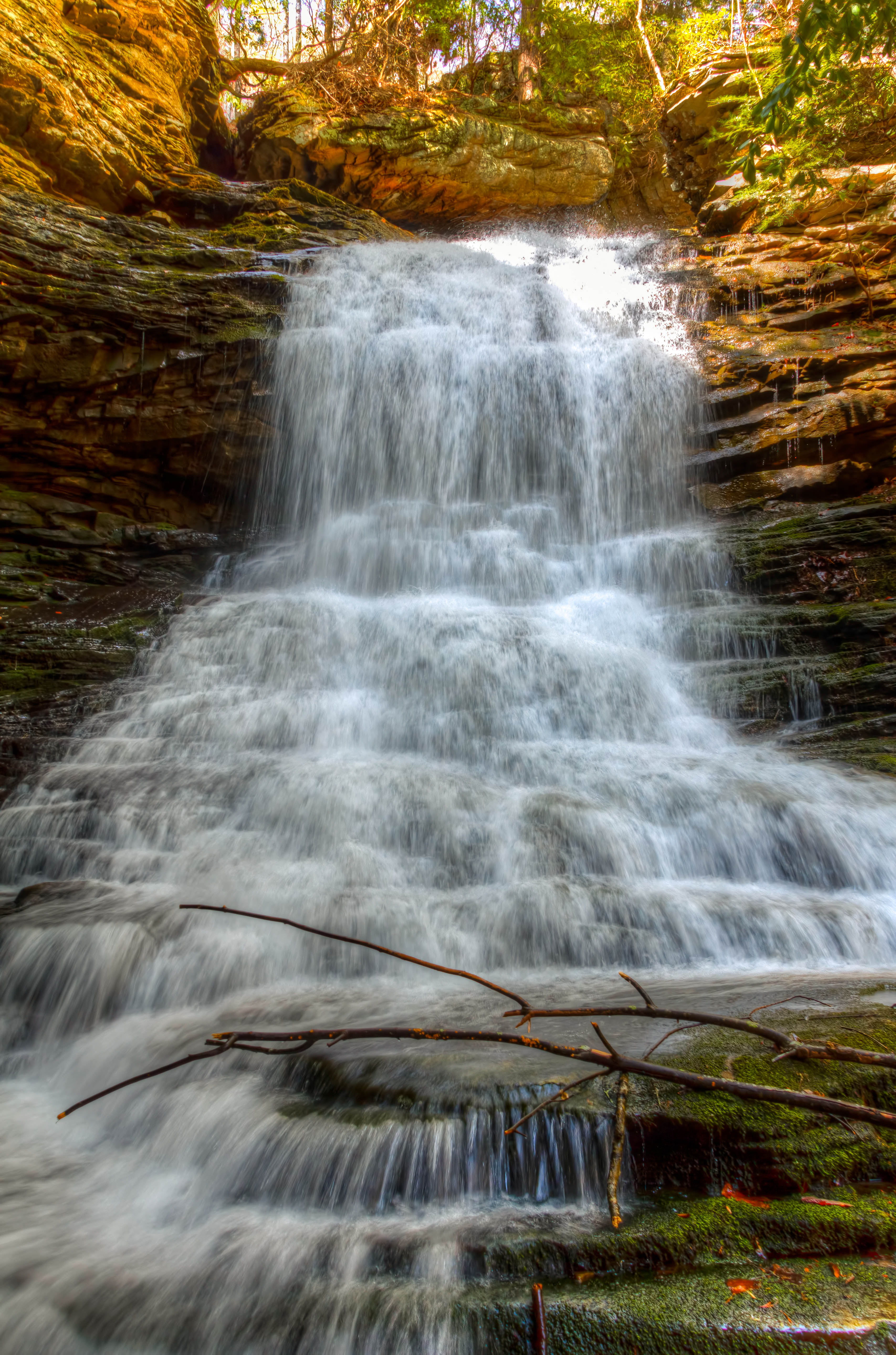
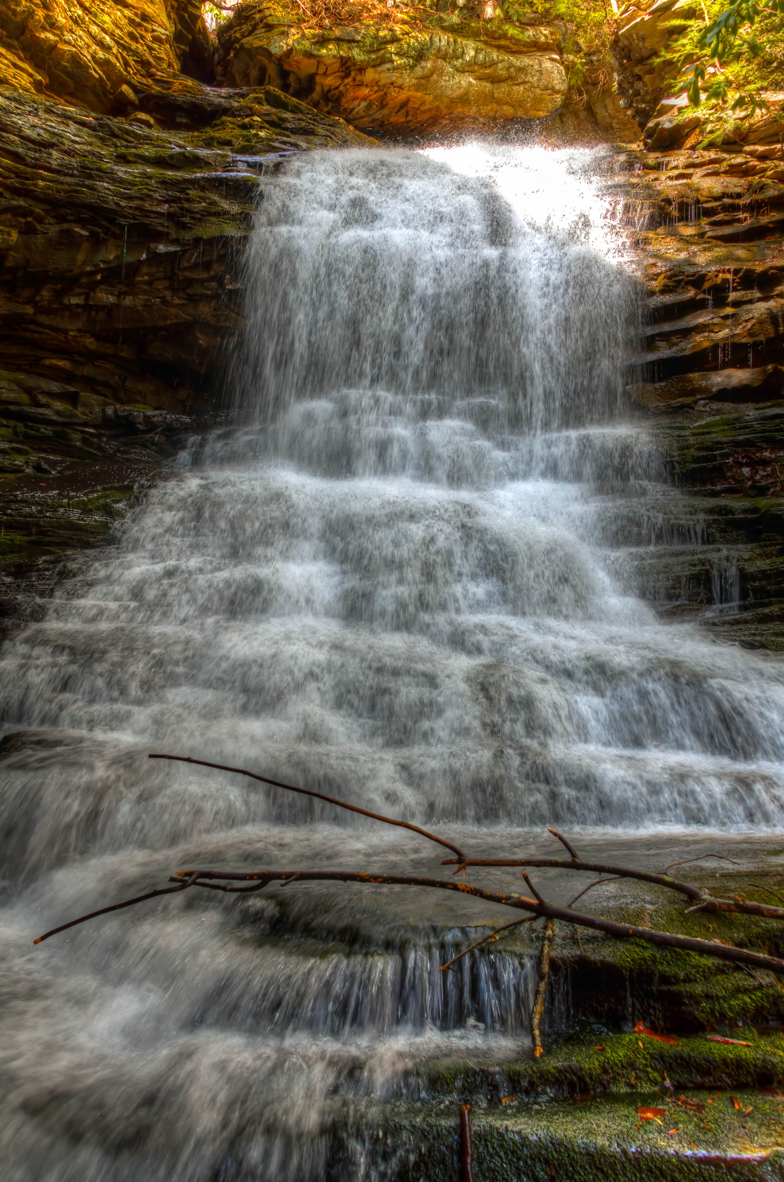
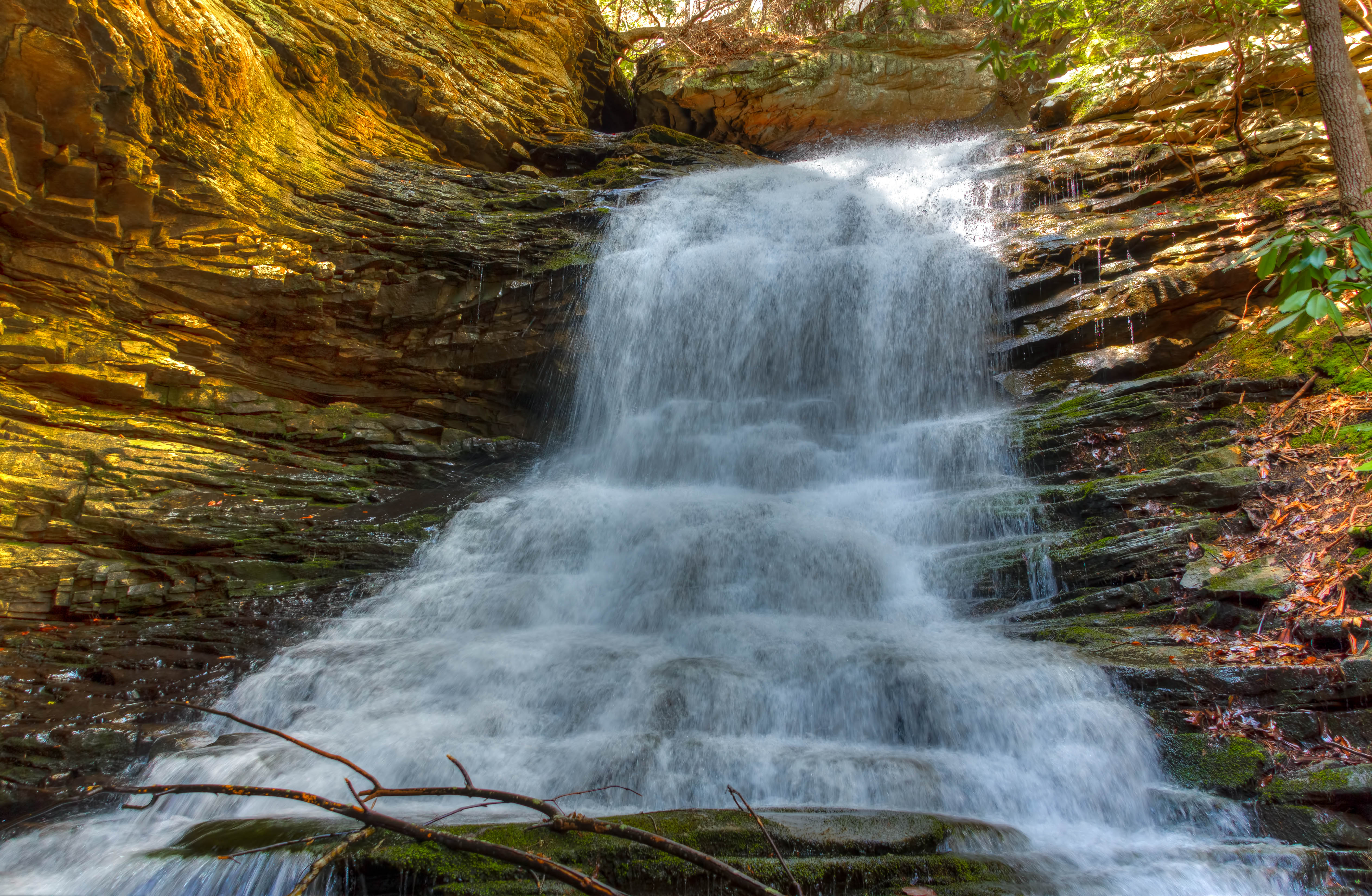
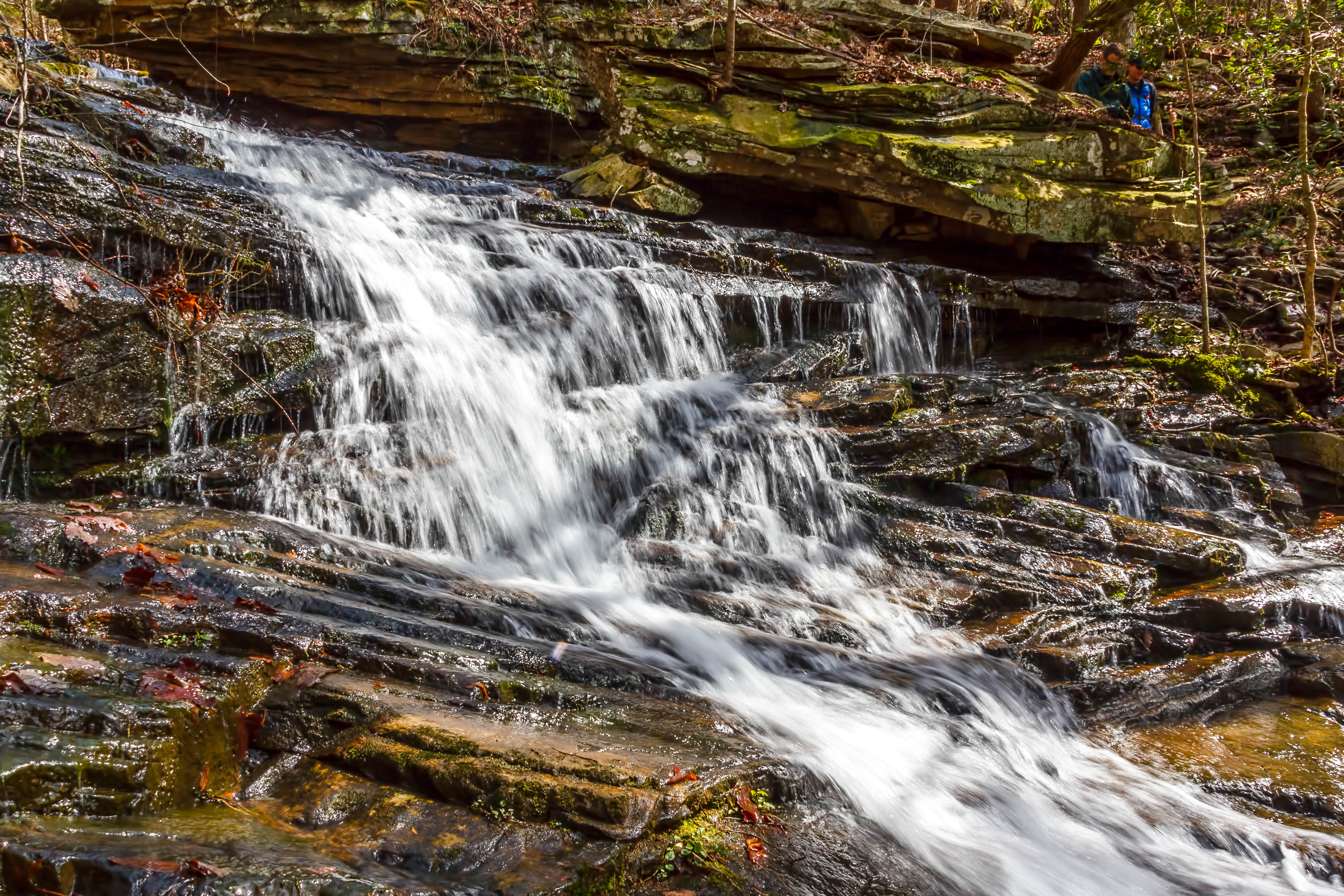
Stripmine Falls - North Chickamauga Trail Segment of the Cumberland Trail - February 16, 2013

Signal Mountain

Middle Creek Bridge
Autumn's Arch

Caution: Boulder

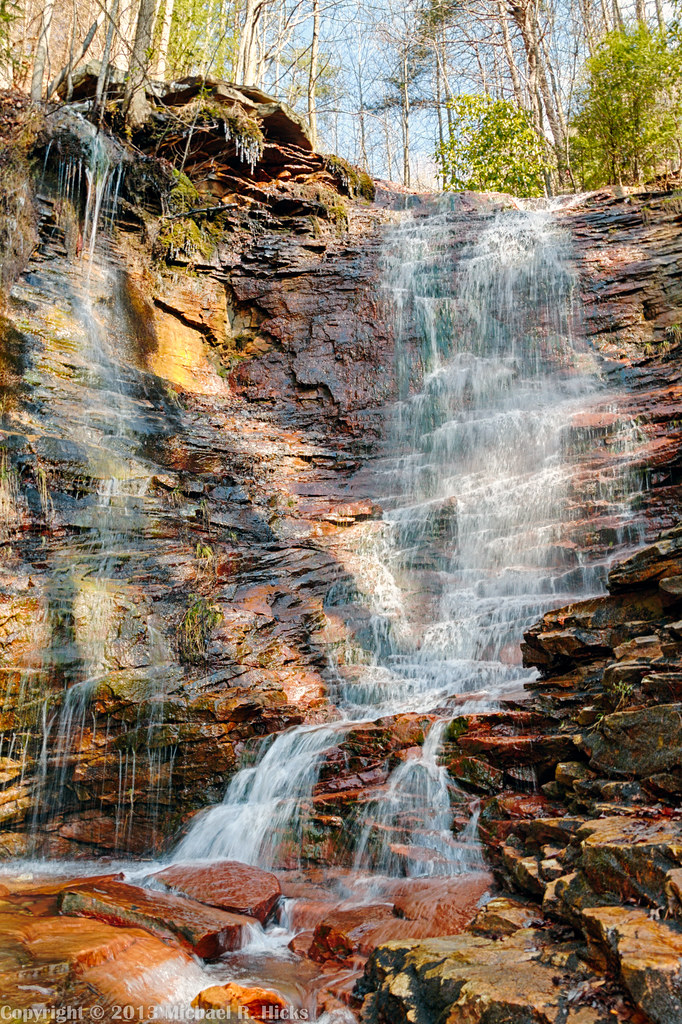
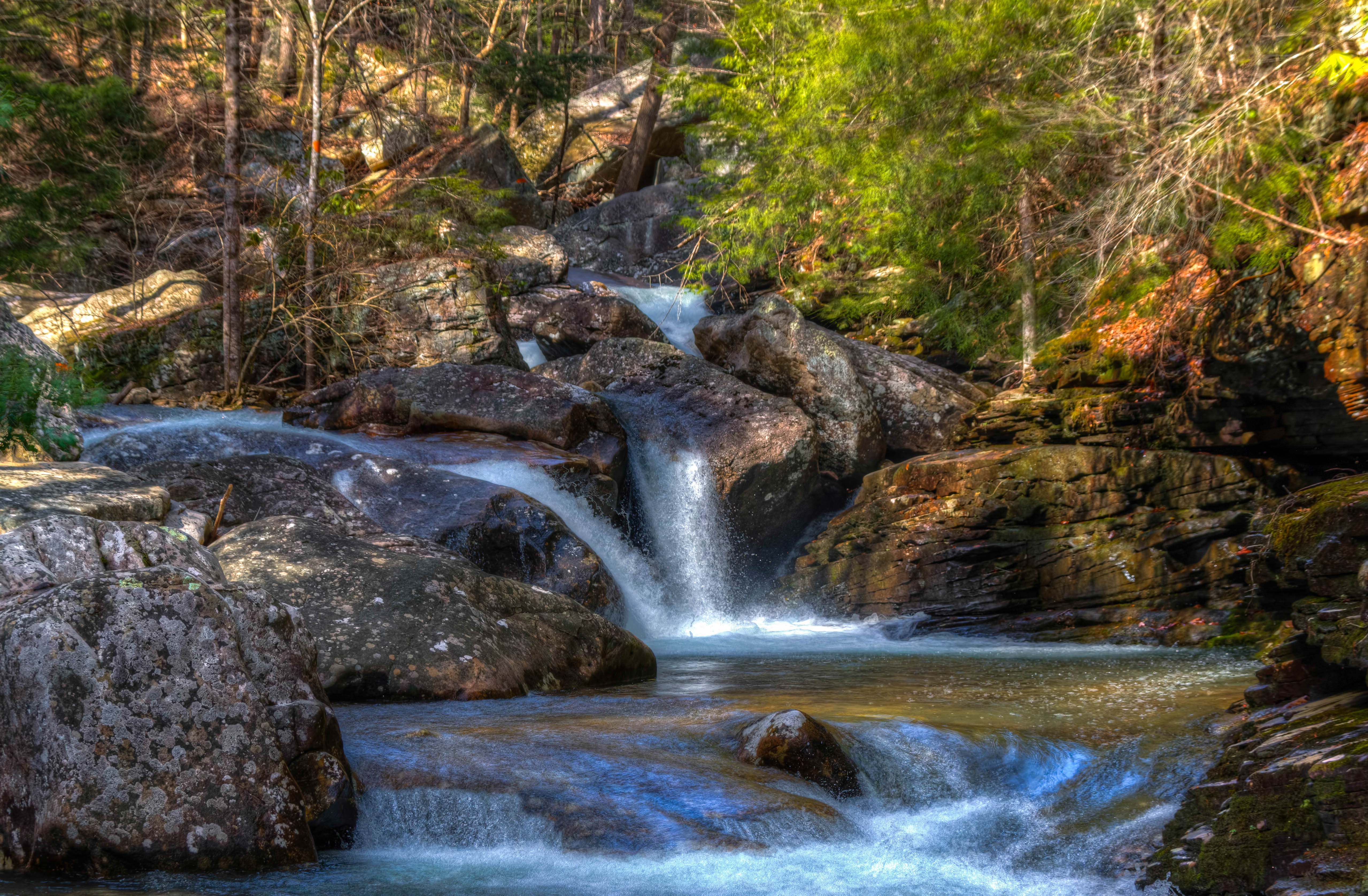
Cooper Creek Falls - North Chickamauga Trail Segment of the Cumberland Trail - February 16, 2013
Chickamauga Dam
North Chickamauga Trail Segment of the Cumberland Trail
North Chickamauga Trail Segment of the Cumberland Trail
North Chickamauga Trail Segment of the Cumberland Trail

North Chickamauga Trail Segment of the Cumberland Trail - February 16, 2013

Cooper Creek Falls - North Chickamauga Trail Segment of the Cumberland Trail - February 16, 2013

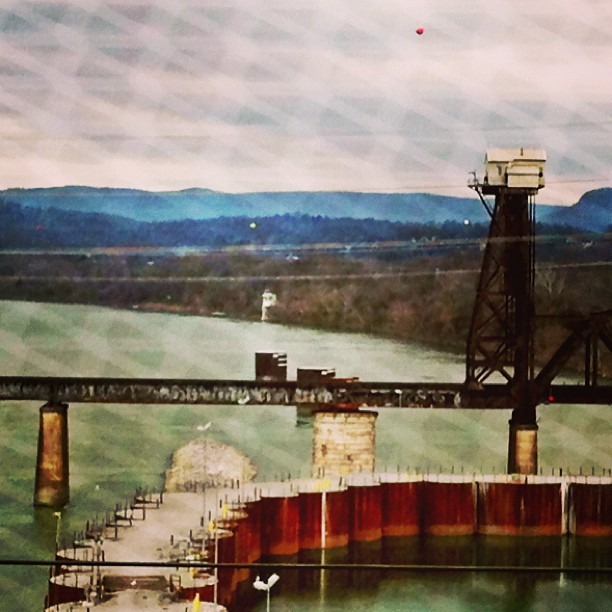
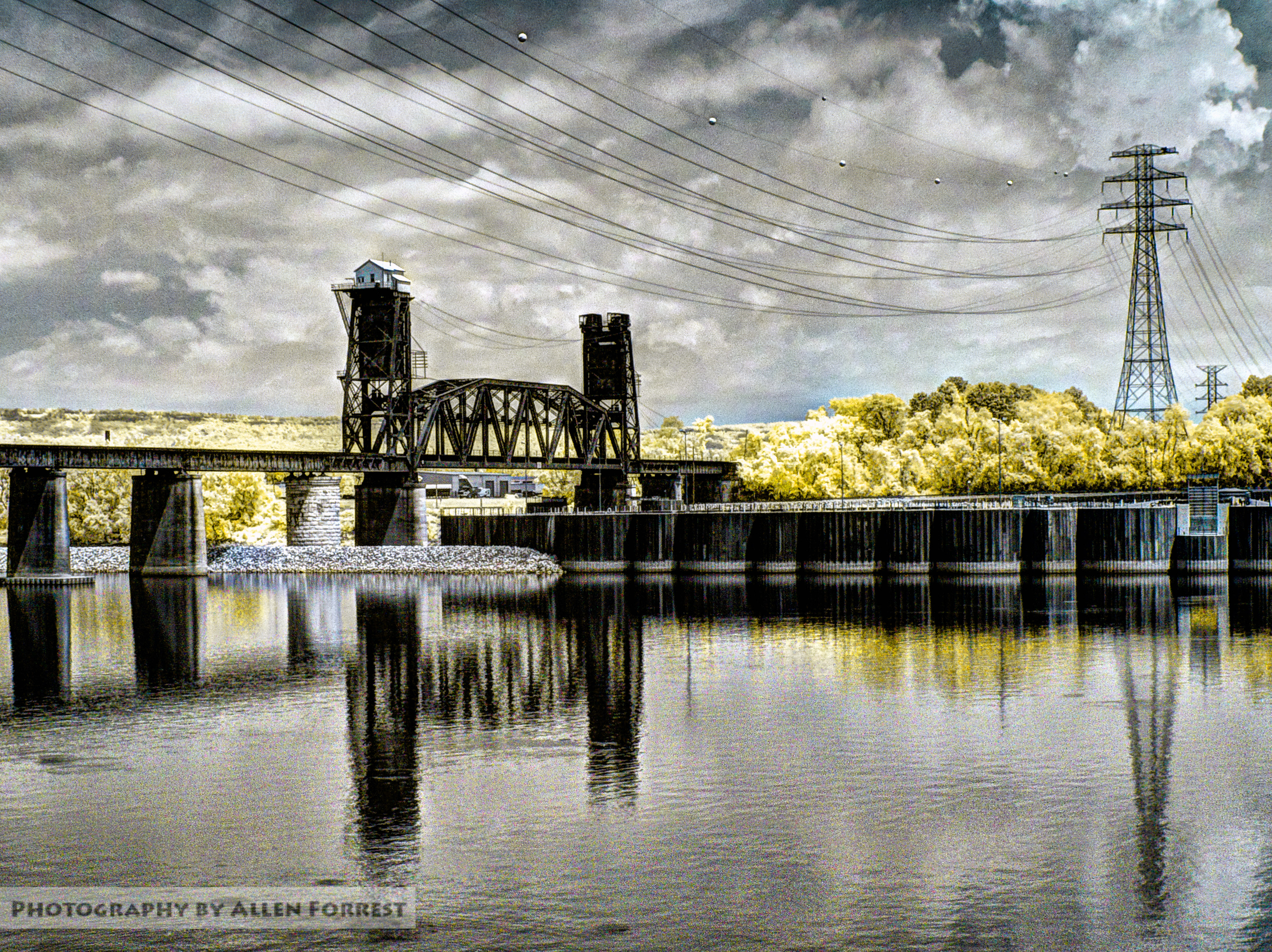
Bridges over Tennessee River at Sunset
North Chickamauga Trail Segment of the Cumberland Trail
Cooper Creek Falls - North Chickamauga Trail Segment of the Cumberland Trail - February 16, 2013
North Chickamauga Trail Segment of the Cumberland Trail
Topographic Map of Spurling Dr, Hixson, TN, USA
Find elevation by address:

Places near Spurling Dr, Hixson, TN, USA:
920 Spurling Dr
918 Spurling Dr
916 Spurling Dr
914 Spurling Dr
Shadwick Cemetery
810 S Valleywood Cir
Save-a-lot
McCormack Dr, Hixson, TN, USA
Westgate Road
1353 Village Green Dr
444 Sevier St
Rockdale Ln, Hixson, TN, USA
1434 Gold Crest Dr
Middle Valley
Gold Crest Dr, Hixson, TN, USA
1528 W Crabtree Rd
233 Dolores Dr
816 Brook Run Dr
8620 Brookplace Dr
6411 Forest Meade Dr
Recent Searches:
- Elevation of Slanický ostrov, 01 Námestovo, Slovakia
- Elevation of Spaceport America, Co Rd A, Truth or Consequences, NM, USA
- Elevation of Warwick, RI, USA
- Elevation of Fern Rd, Whitmore, CA, USA
- Elevation of 62 Abbey St, Marshfield, MA, USA
- Elevation of Fernwood, Bradenton, FL, USA
- Elevation of Felindre, Swansea SA5 7LU, UK
- Elevation of Leyte Industrial Development Estate, Isabel, Leyte, Philippines
- Elevation of W Granada St, Tampa, FL, USA
- Elevation of Pykes Down, Ivybridge PL21 0BY, UK