Elevation of Spindale, NC, USA
Location: United States > North Carolina > Rutherford County > Rutherfordton >
Longitude: -81.929271
Latitude: 35.3601212
Elevation: 331m / 1086feet
Barometric Pressure: 97KPa
Elevation Map:
Satellite Map:
Related Photos:

Any idea of its name?

Nature's Hieroglyphics

Out Back

Goldenrod Crab Spider, aka 'Crouching Spider, Hid in Hibiscus'

Blueberry Cobbler Anyone??? (nom nom nom...)

Gypsy Gold

Buffalo Herd
IMG_2173 (640x480)
IMG_2151 (640x480)
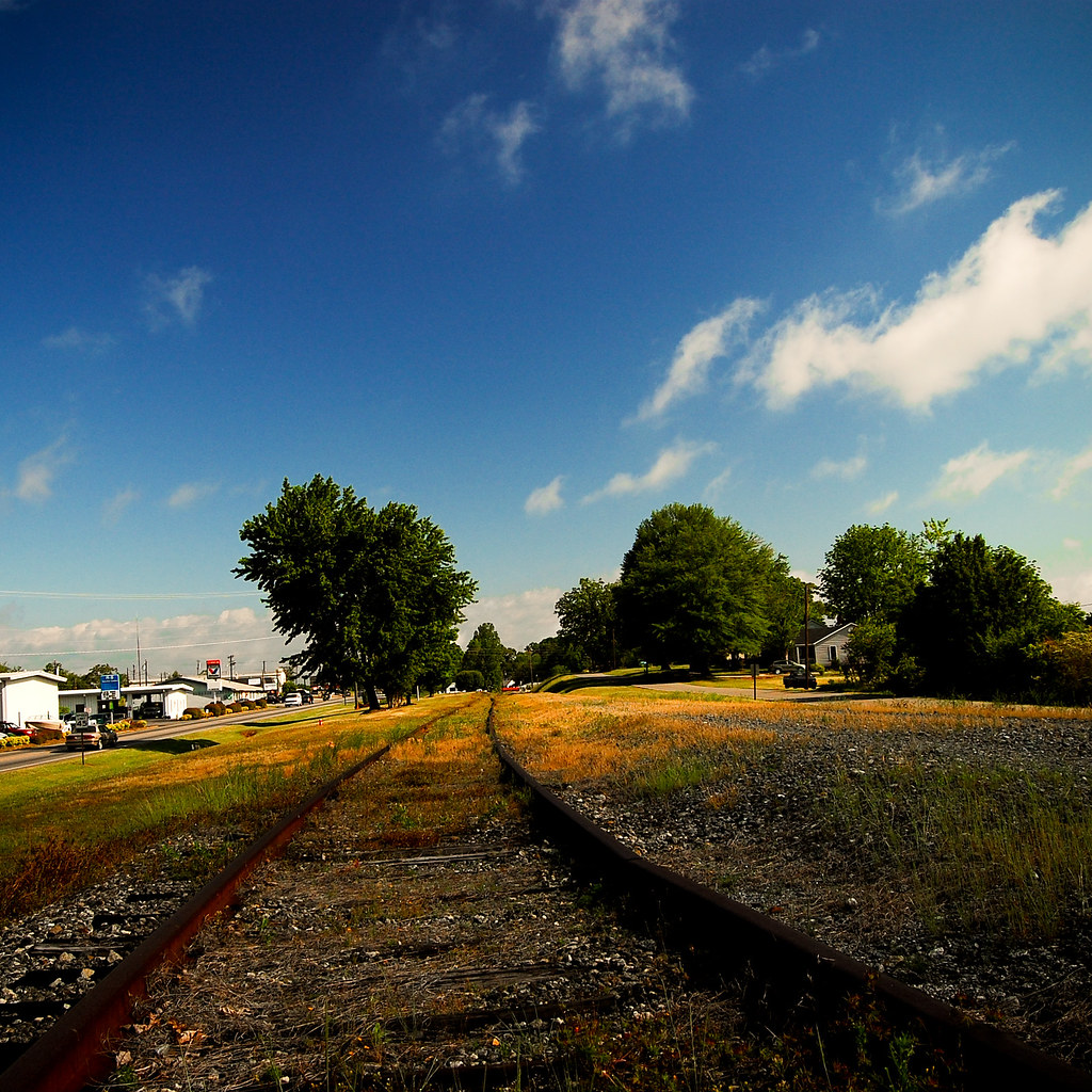
Rock Railroad
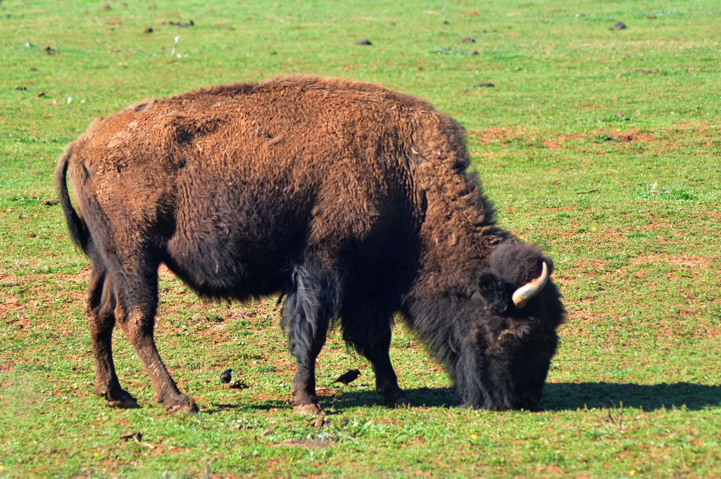
Buffalo in NC

Overmountain Vineyard
IMG_2180 (640x305)
IMG_2150 (640x480)
IMG_2167 (640x480)
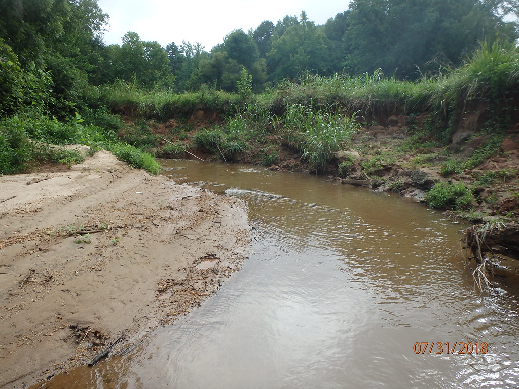
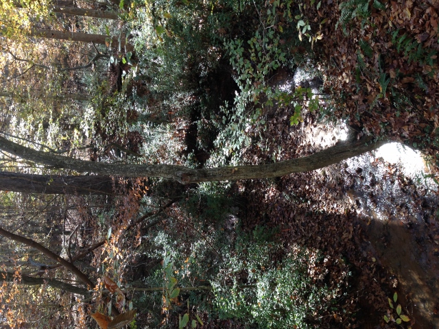
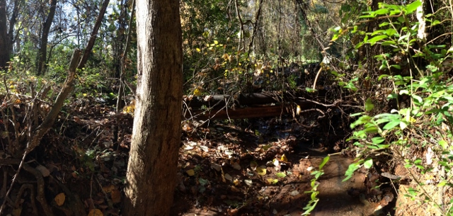
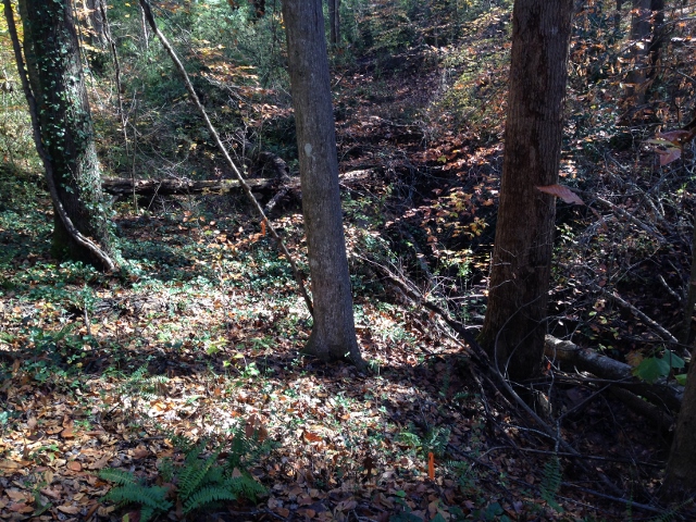
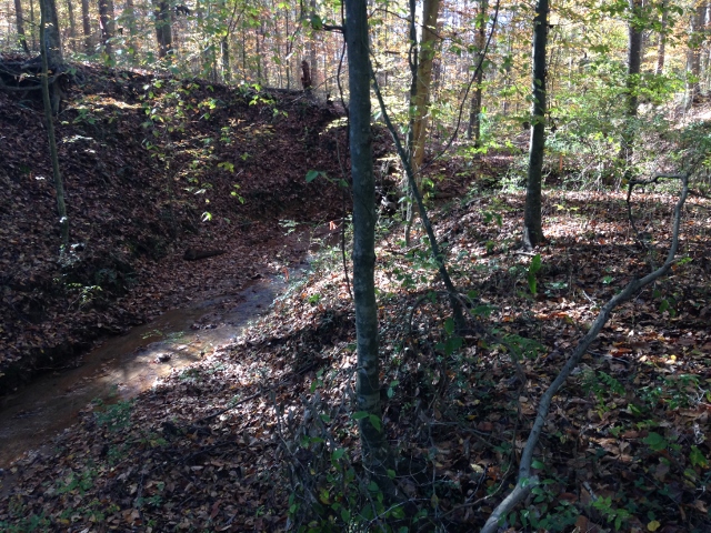
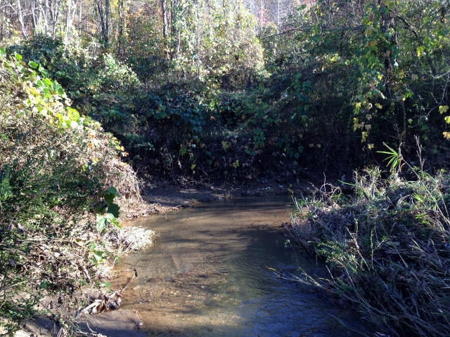
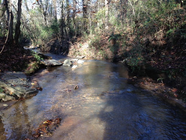
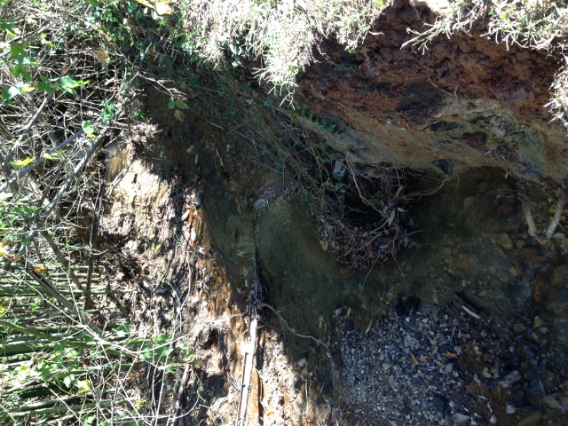
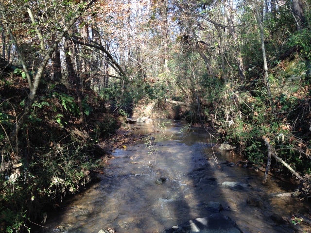
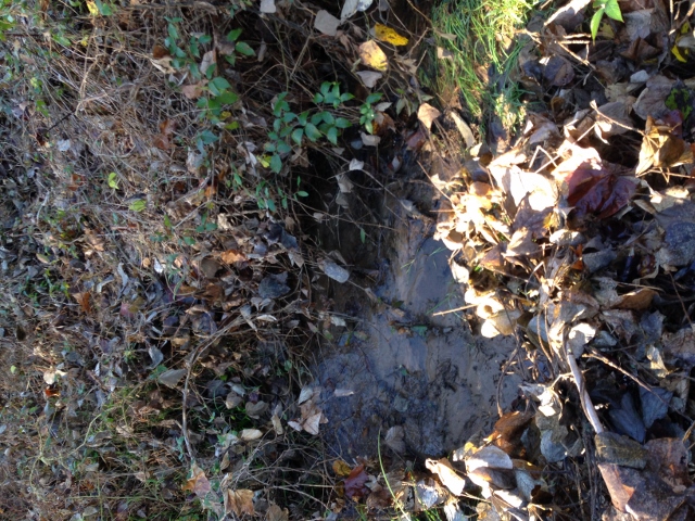
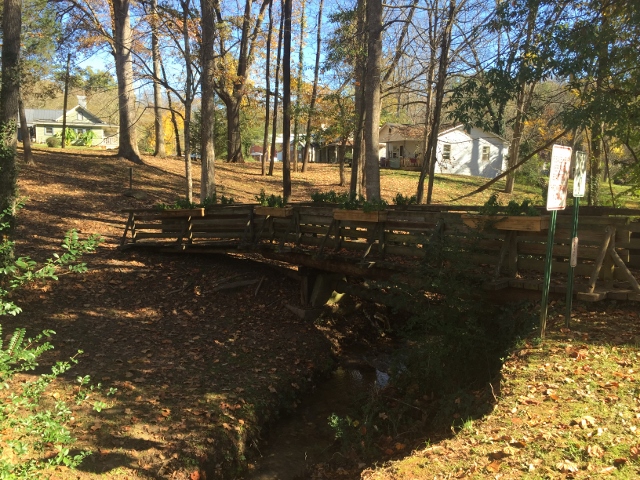
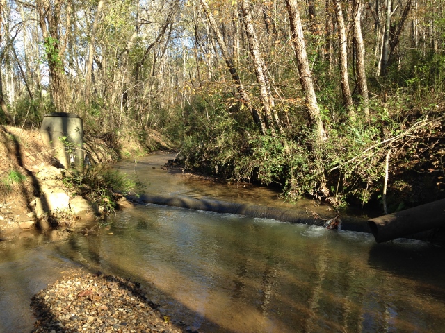
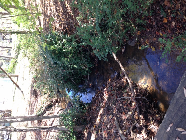
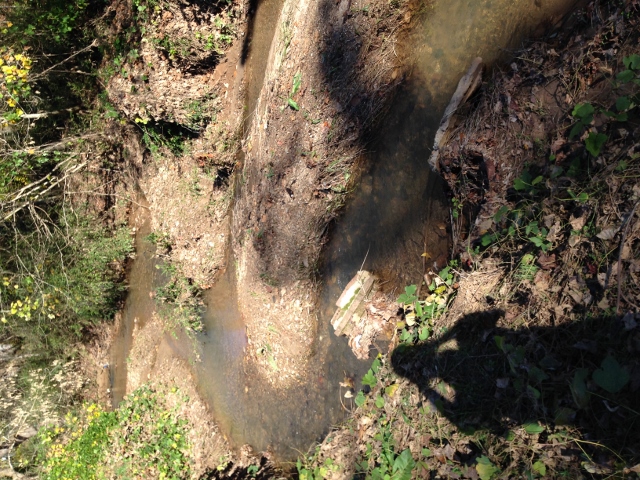
Cleghorn Creek (419)
IMG_2485 (640x480)
IMG_2500 (640x480)
IMG_2408 (640x480)
IMG_2497 (640x480)
IMG_2435 (640x480)
IMG_1561 (640x480)
IMG_2453 (640x480)
IMG_2249 (640x480)
IMG_2411 (640x480)
IMG_2206 (640x480)
IMG_2243 (640x480)
Topographic Map of Spindale, NC, USA
Find elevation by address:

Places near Spindale, NC, USA:
Stonecutter St, Spindale, NC, USA
118 Arizona St
208 Ledbetter Rd
Rutherfordton
Church Street
381 Green St
301 Pate Rd
174 Green St
Rutherfordton
229 N Main St
288 S Ridgecrest St
127 Sassafras Rd
240 Ridgeland Dr
201 Ivy Dr
153 Briarwood Dr
355 Fairforest Dr
189 Fairforest Dr
291 Fairforest Dr
444 Ivy Dr
232 Wasena Ln
Recent Searches:
- Elevation of Sattva Horizon, 4JC6+G9P, Vinayak Nagar, Kattigenahalli, Bengaluru, Karnataka, India
- Elevation of Great Brook Sports, Gold Star Hwy, Groton, CT, USA
- Elevation of 10 Mountain Laurels Dr, Nashua, NH, USA
- Elevation of 16 Gilboa Ln, Nashua, NH, USA
- Elevation of Laurel Rd, Townsend, TN, USA
- Elevation of 3 Nestling Wood Dr, Long Valley, NJ, USA
- Elevation of Ilungu, Tanzania
- Elevation of Yellow Springs Road, Yellow Springs Rd, Chester Springs, PA, USA
- Elevation of Rēzekne Municipality, Latvia
- Elevation of Plikpūrmaļi, Vērēmi Parish, Rēzekne Municipality, LV-, Latvia