Elevation of Spencerville, ON K0E, Canada
Location: Canada > Ontario > Leeds And Grenville United Counties > Edwardsburgh/cardinal >
Longitude: -75.546362
Latitude: 44.843305
Elevation: 92m / 302feet
Barometric Pressure: 100KPa
Elevation Map:
Satellite Map:
Related Photos:
~ Battle of the Windmill ~

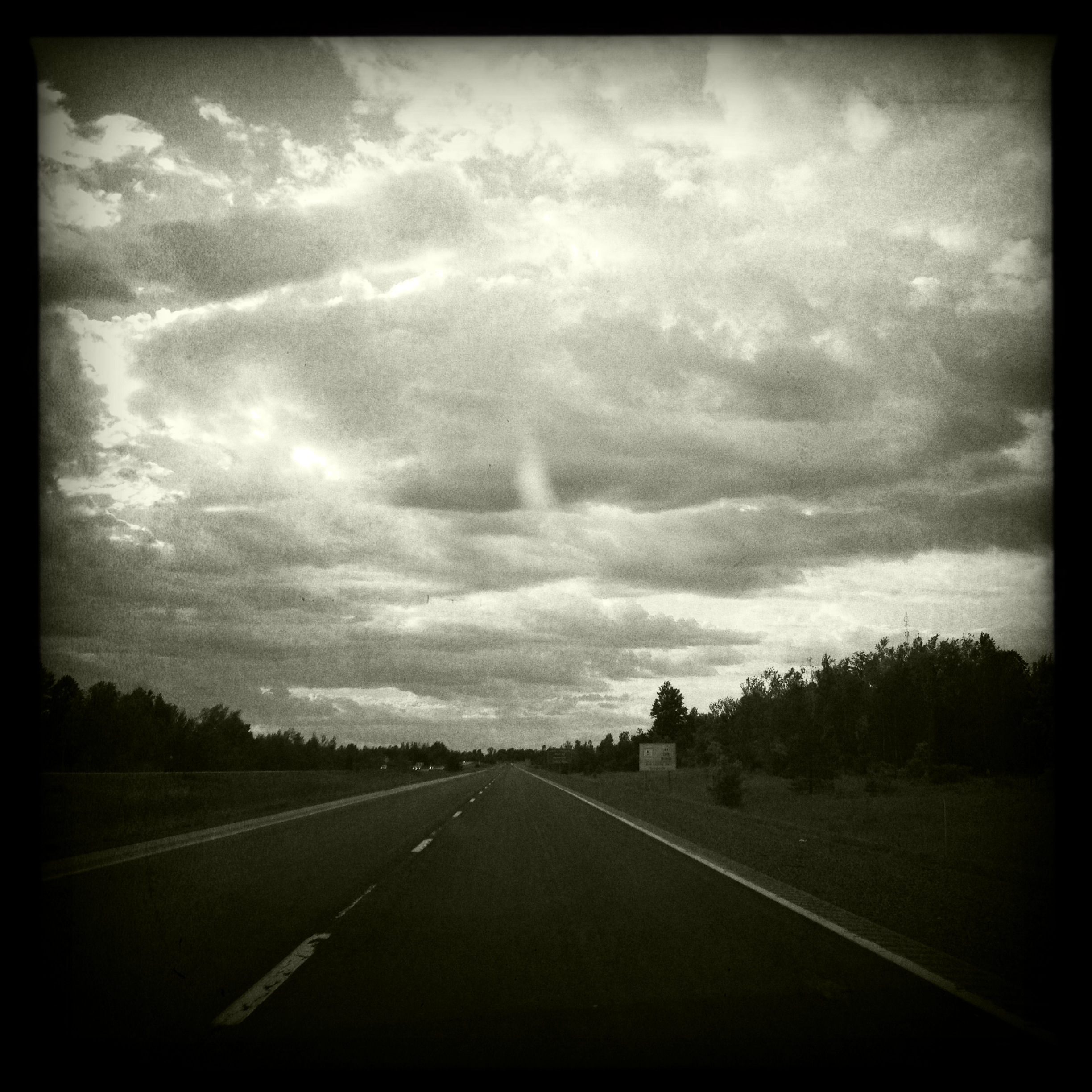
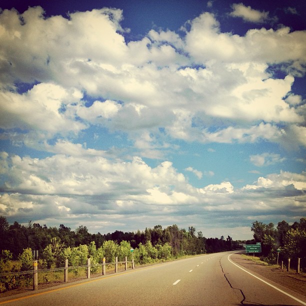
View through the windshield
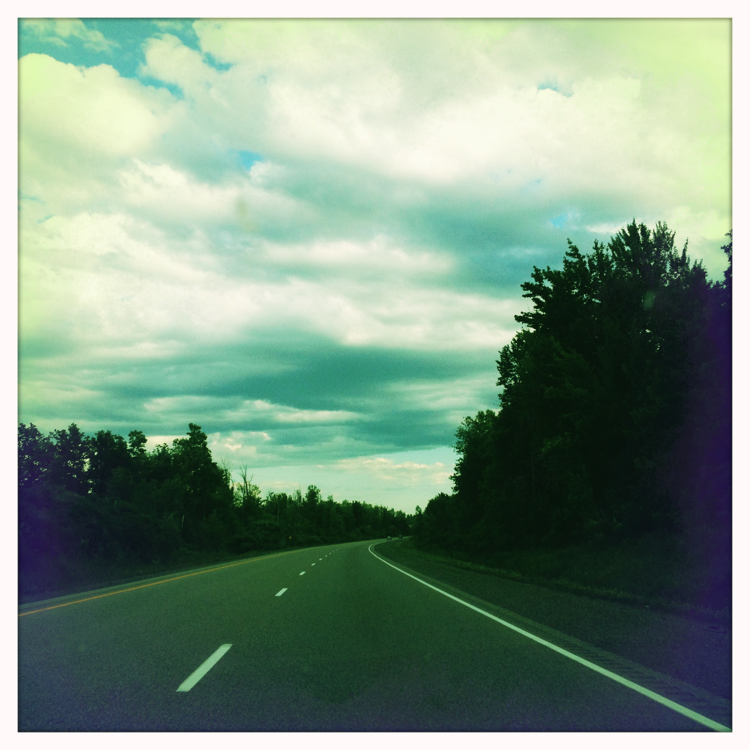
View through the windshield

Blue Dasher - Spencerville

Blue Dasher
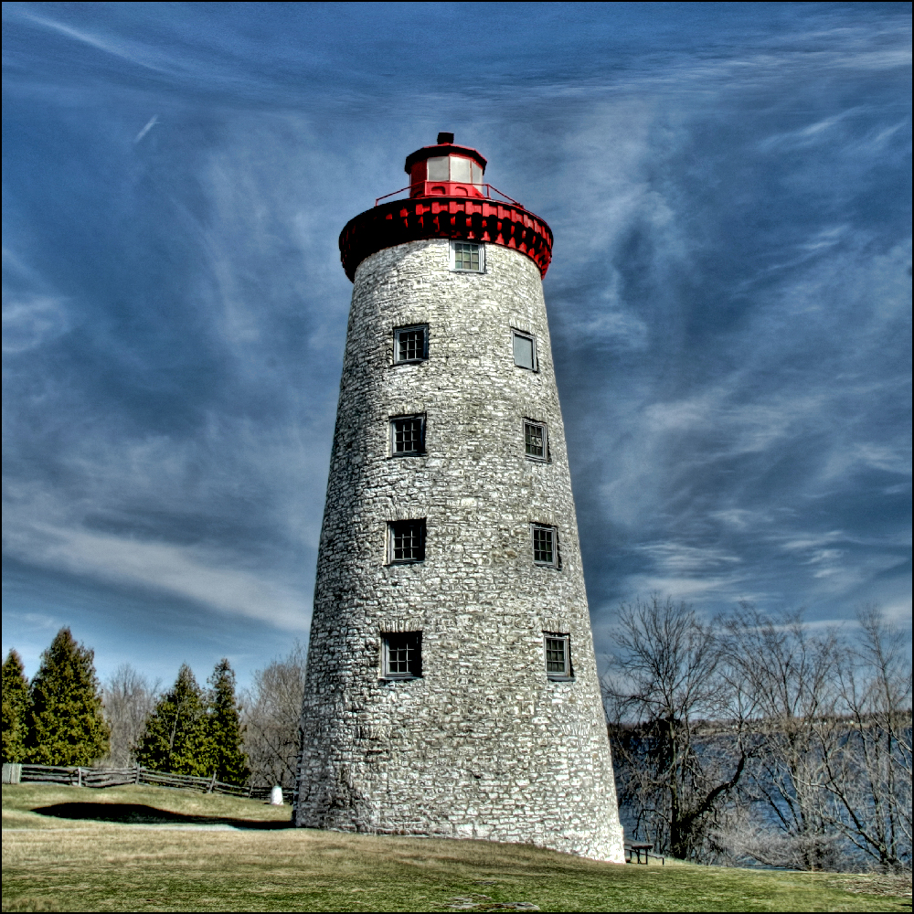
Prescott Lighthouse, ON
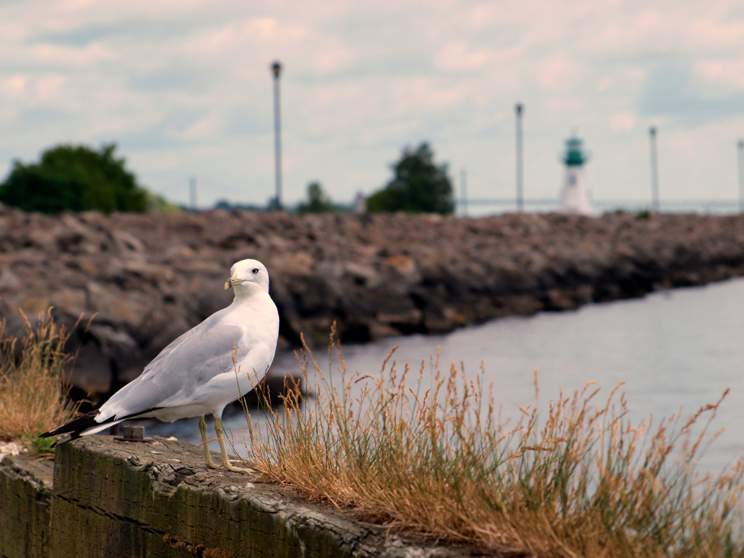
Seagull Stare Down
View through the windshield
View through the windshield
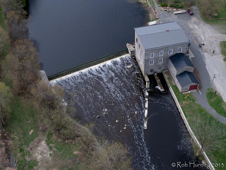
Aerial photograph. Spencerville Mill. A heritage gristmill on the South Nation River in Spencerville, Ontario. - Kite Aerial Photography (KAP)

Lights Out

Damselfly Spencerville
Lookin' Down Shore

Blue Dasher - Spencerville
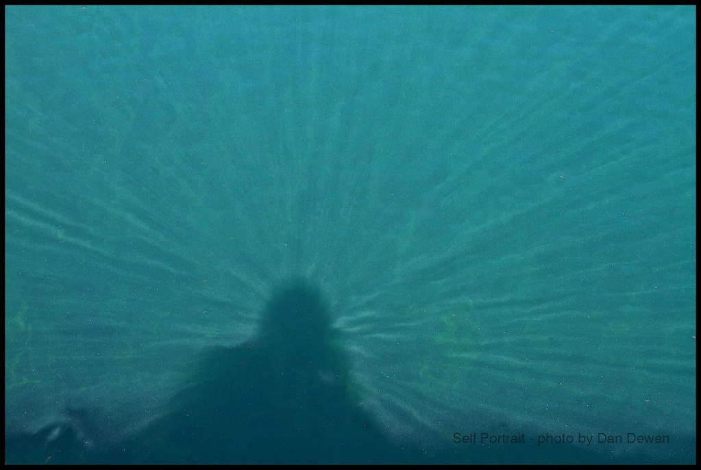
Self Portrait in St Lawrence Seaway
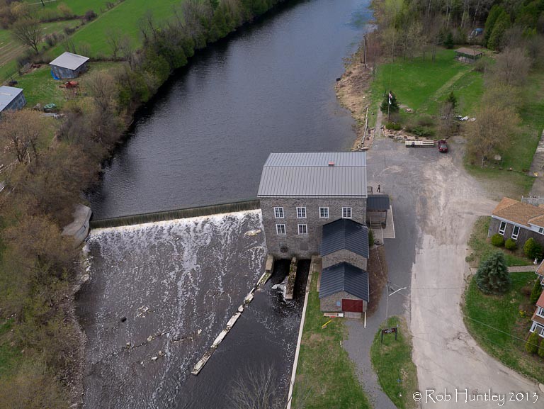
Aerial photograph. Spencerville Mill. A heritage gristmill on the South Nation River in Spencerville, Ontario. - Kite Aerial Photography (KAP)
Movin' Up

Canal Flower 236/365
Climbing to the Top

Lunch Time for Common Pondhawk
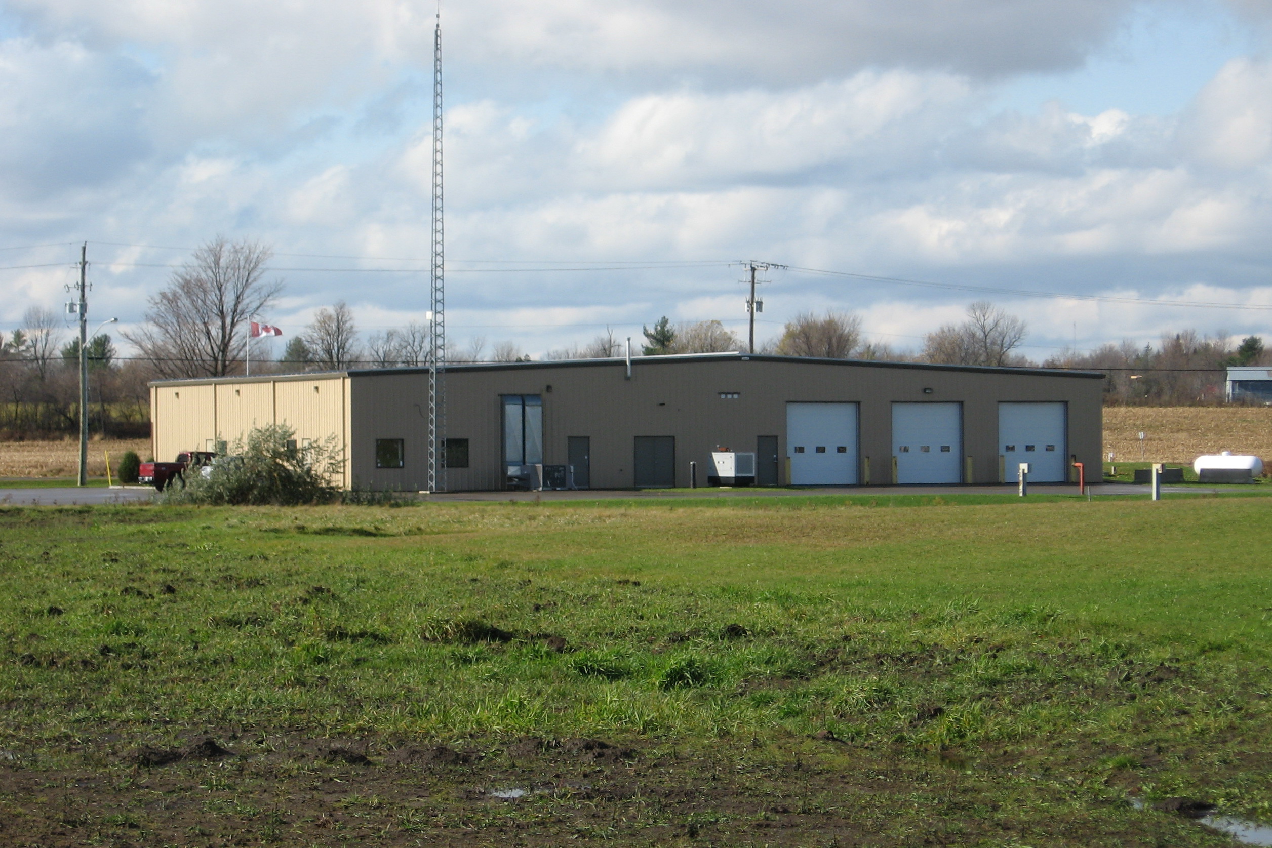
Edwardsburg Cardinal Fire Station 1 rear view Spencerville, Ontario Canada 10272008 ©Ian A. McCord
Bright blue sky...cotton white clouds...back #ontheroad on a beautiful overcast skies

Abandoned Farm House 92-365
365: Day 204
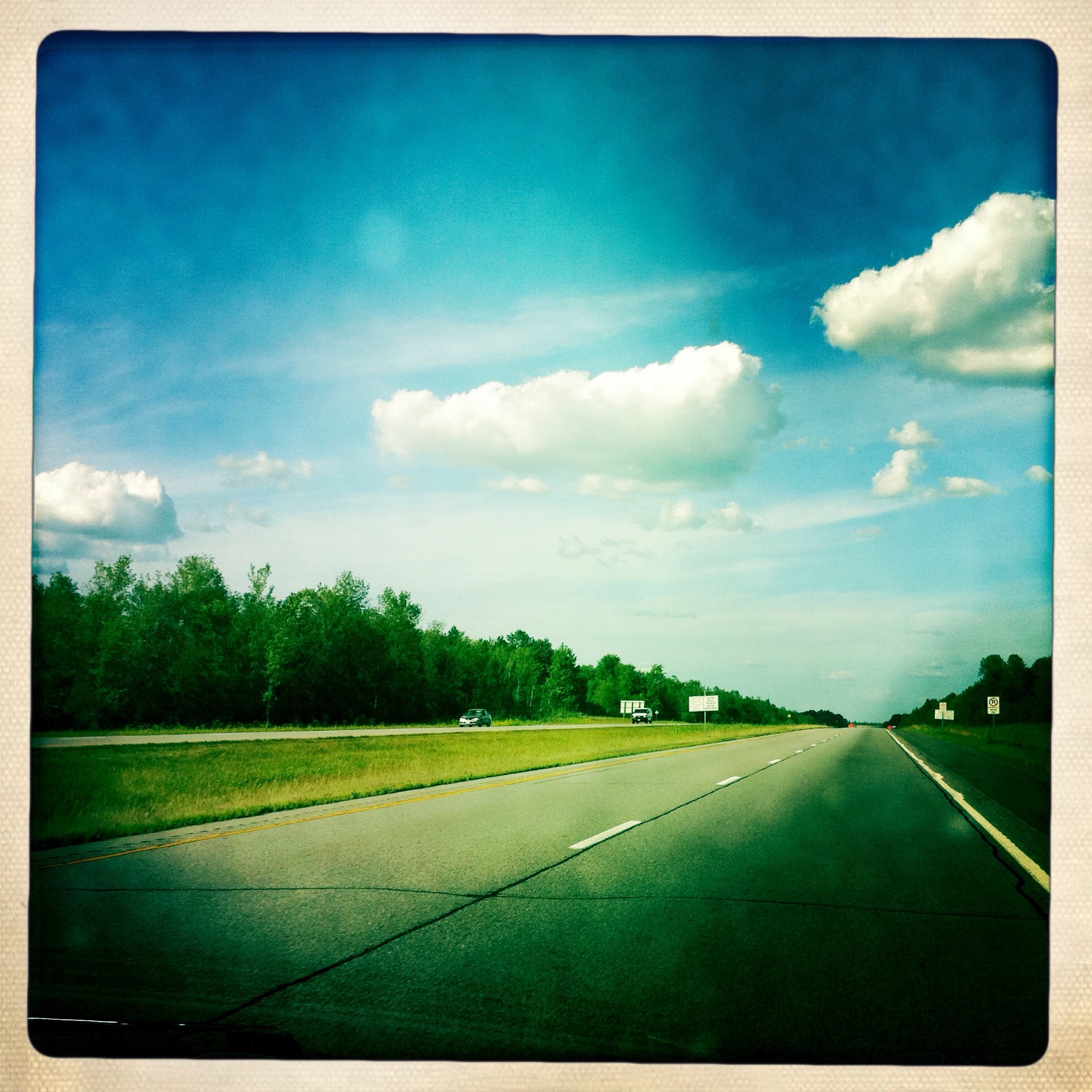
Took this picture with my iPhone
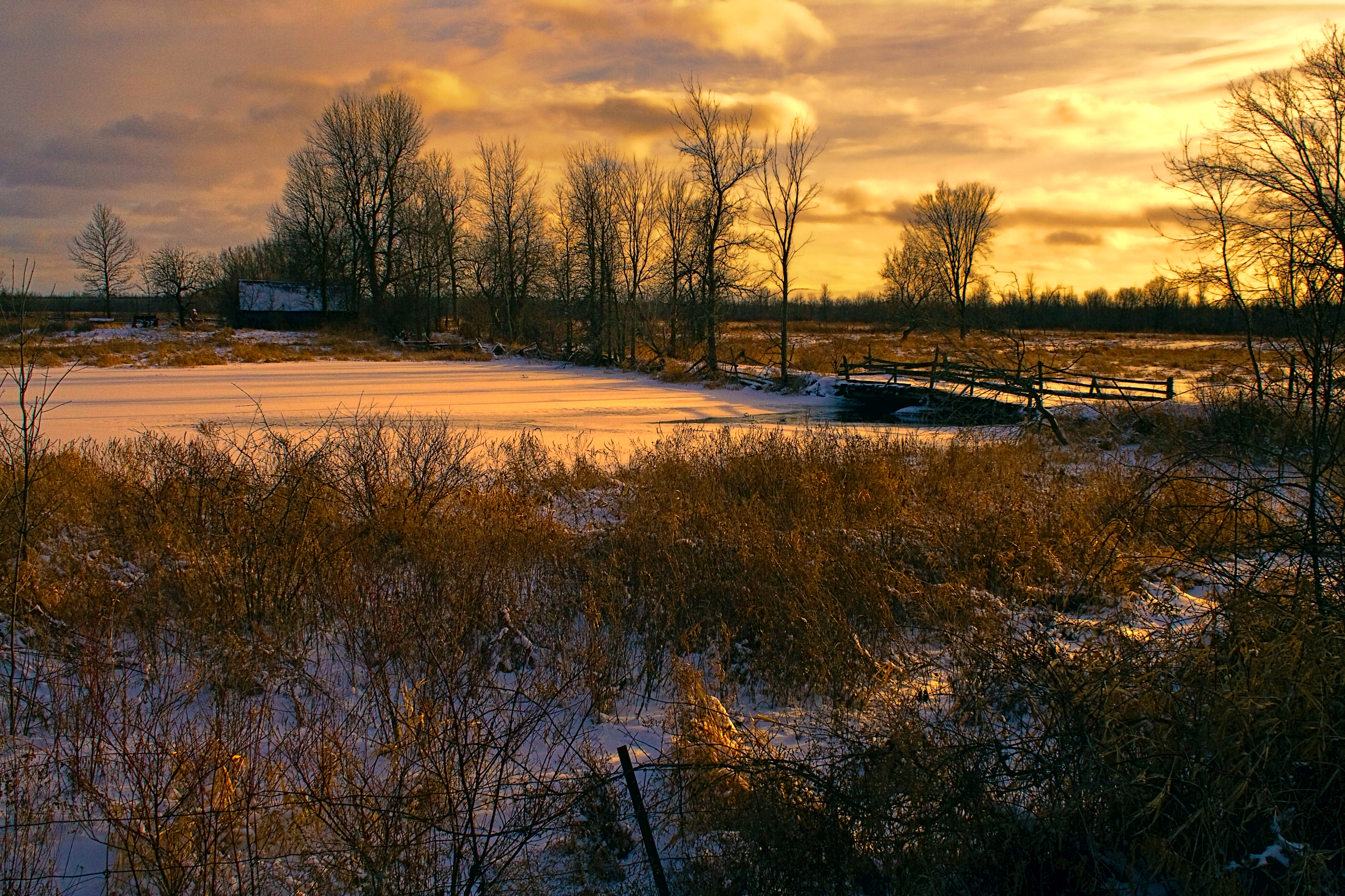
Sunset on the Branch Rd.

Street Scene Prescott

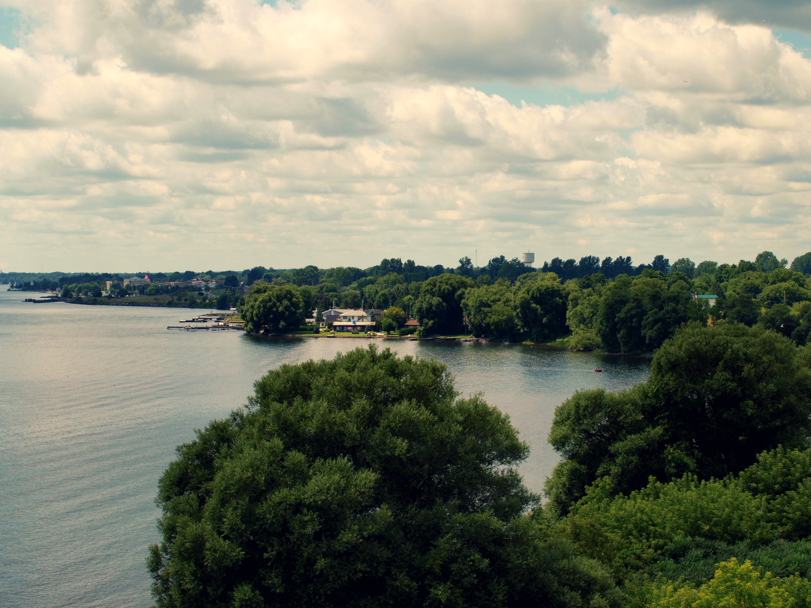
St. Lawrence River
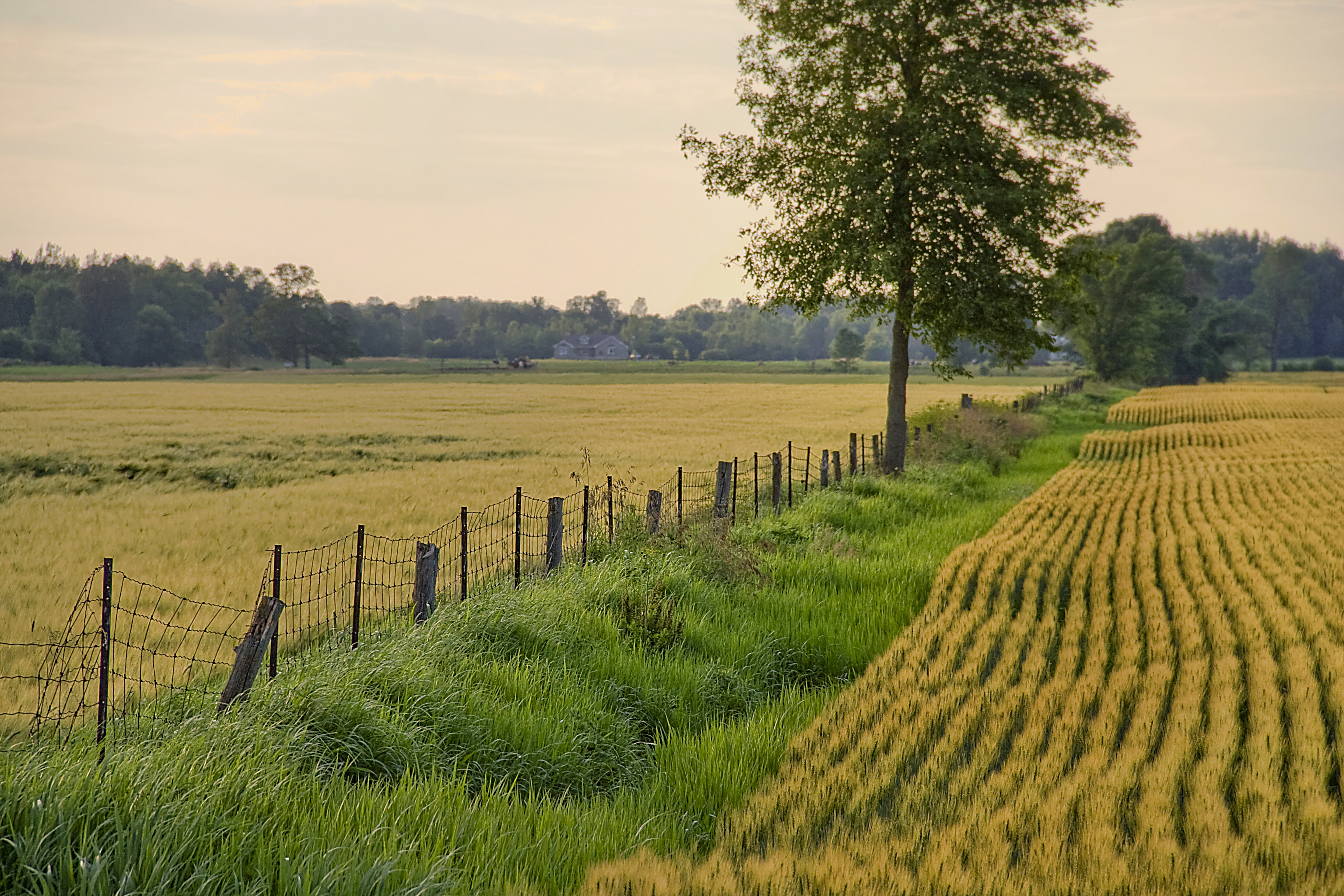
Fields along Haddo Rd.
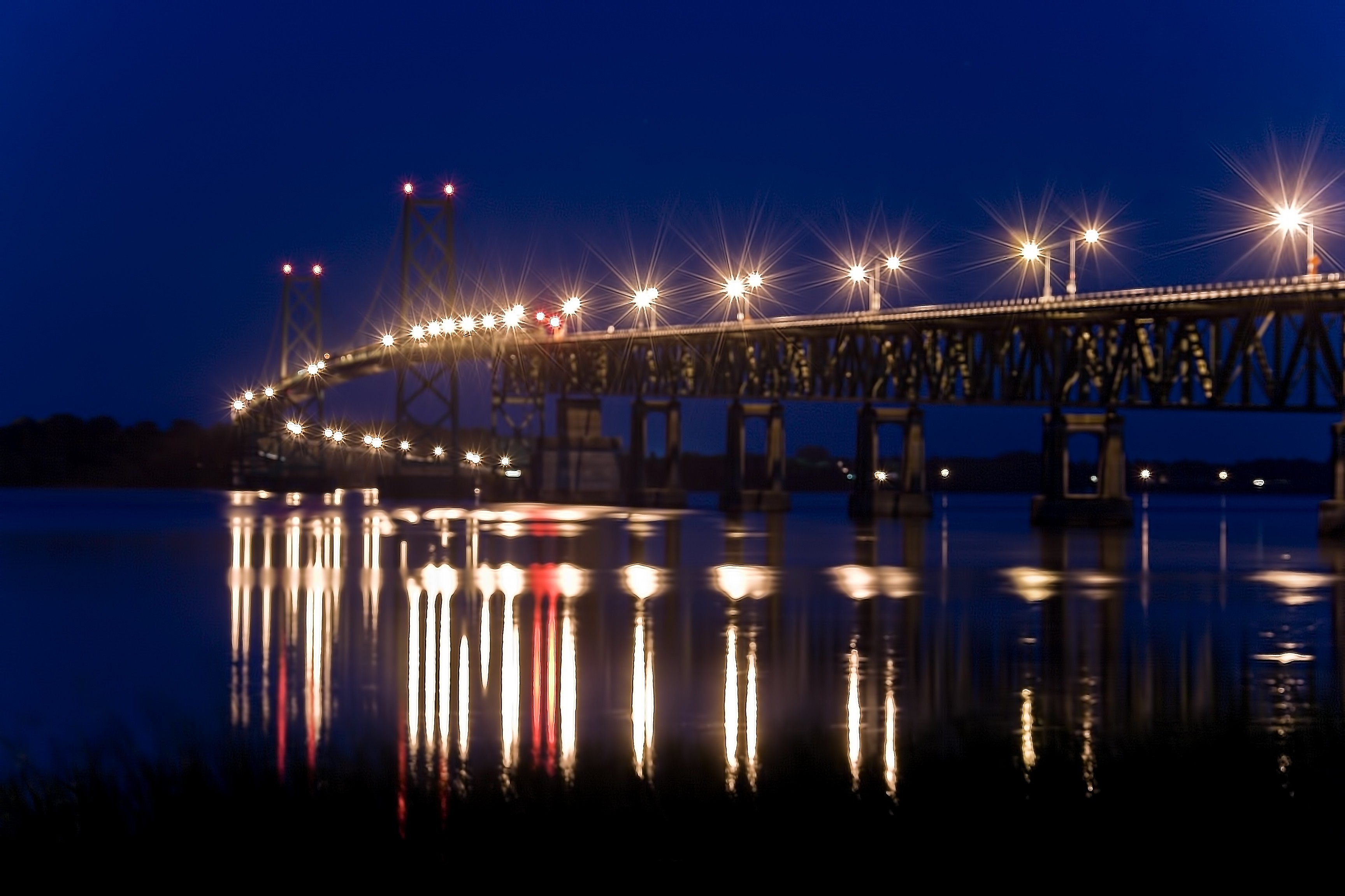
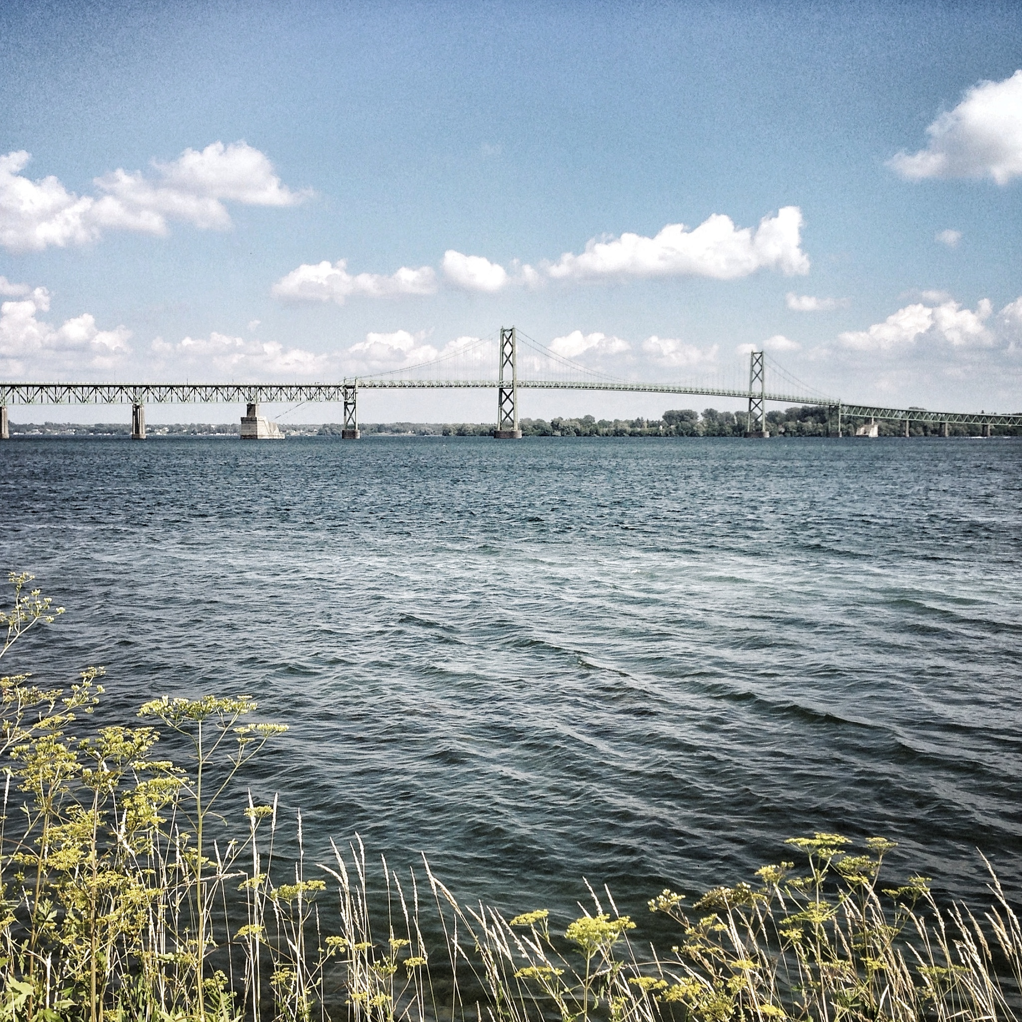
Prescott-Ogdensburgh International Bridge

Old Pier

Day 4: Dusk descends on Day 4
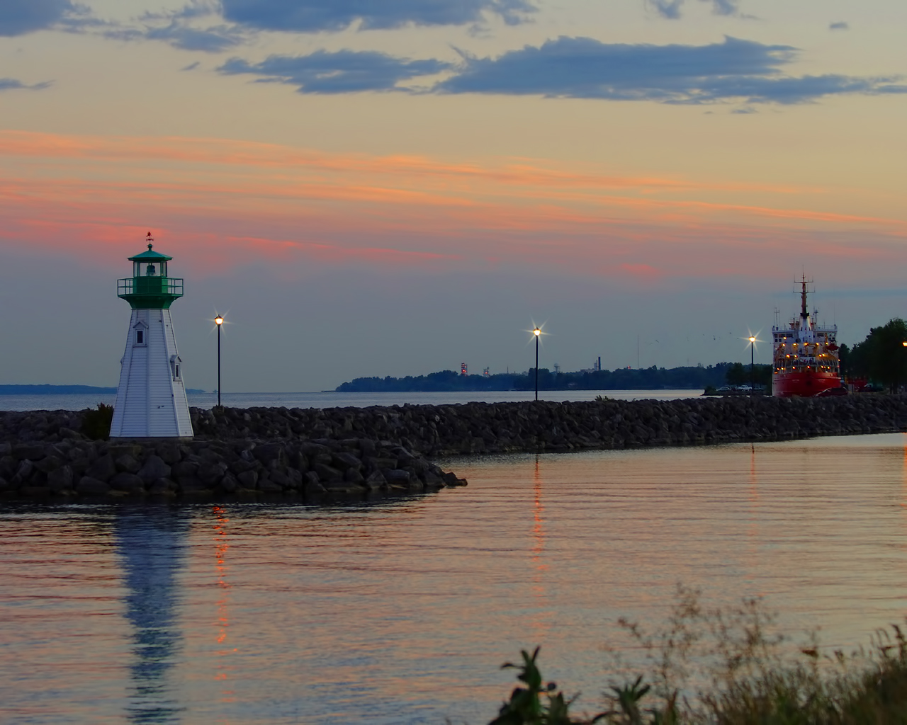
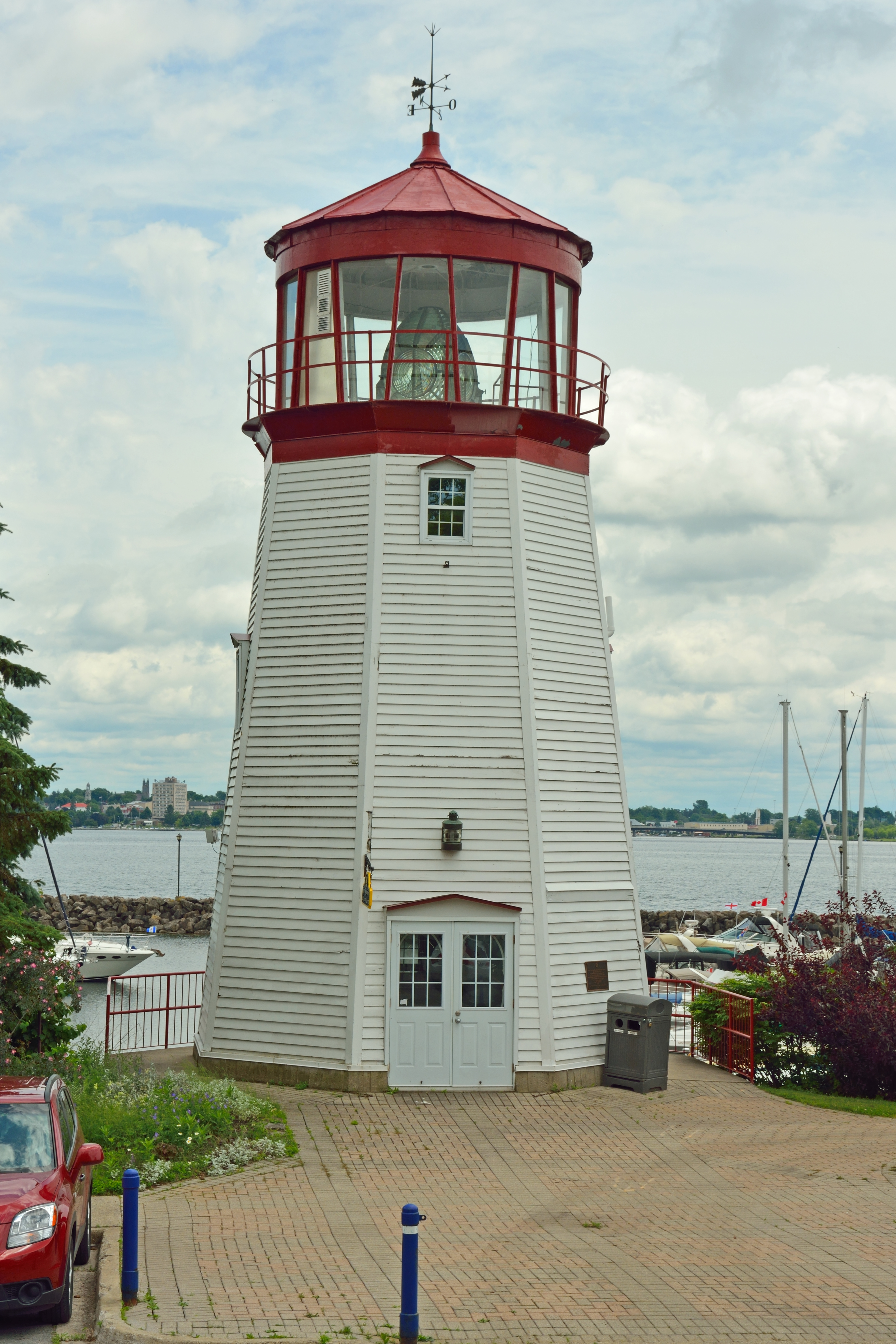
Lighthouse and waterfront in Prescott

Old Pier along the St. Lawrence River at Prescott, Ont.

Old Pier

Old Chevy Pickup

Twilight on the St. Lawrence River
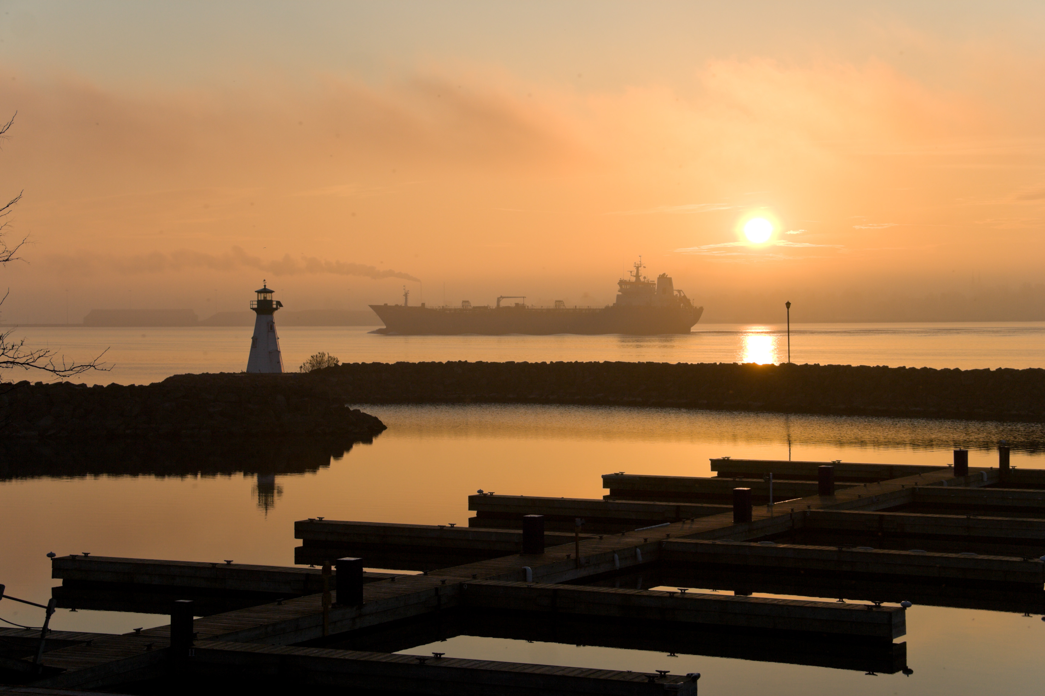
Great Lakes freighter heads down the St. Lawrence River

Sunrise on the St. Lawrence
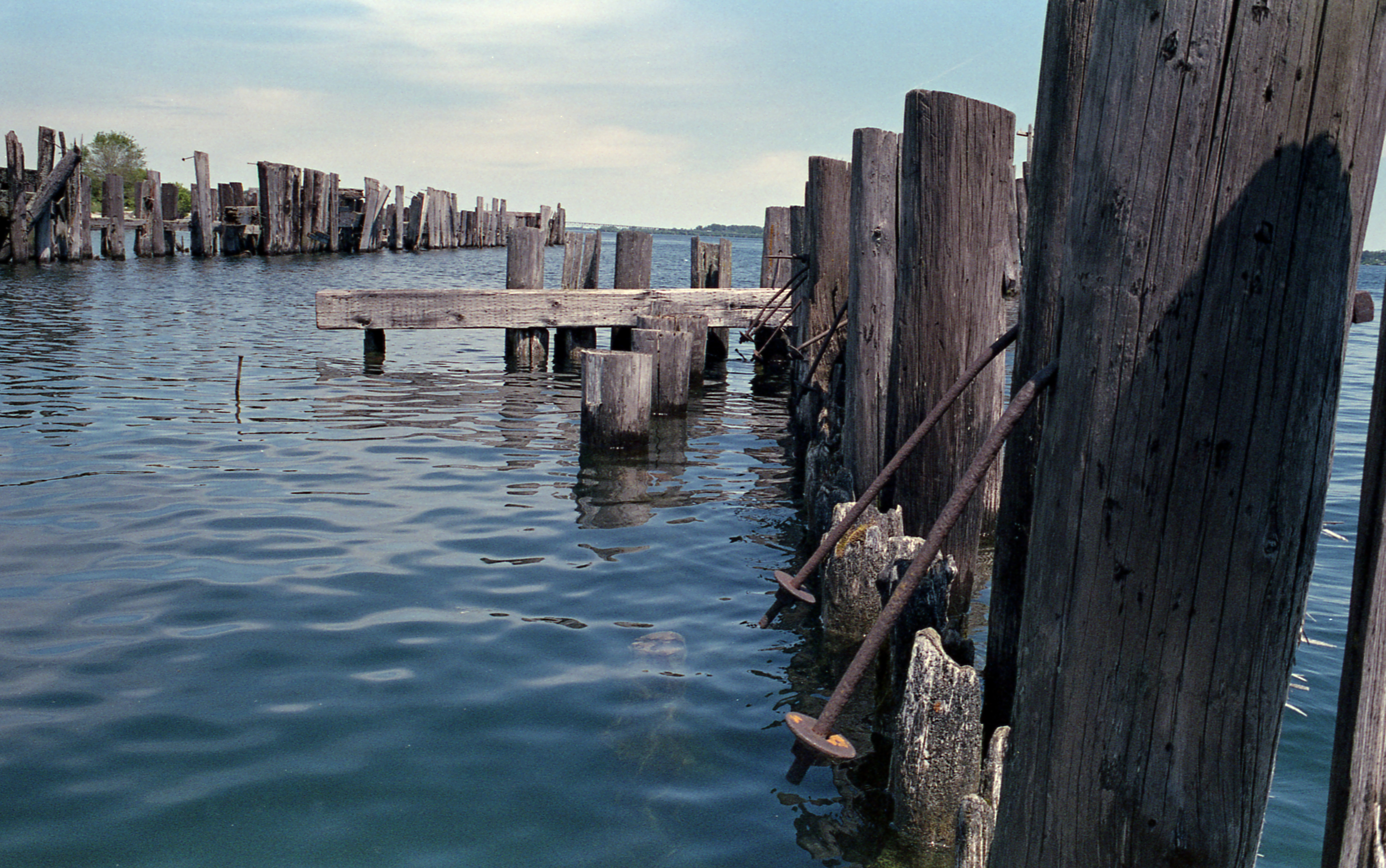
Old Pier

Country Lane
South Dundas Creek
Topographic Map of Spencerville, ON K0E, Canada
Find elevation by address:

Places in Spencerville, ON K0E, Canada:
22 Sloan St, Spencerville, ON K0E 1X0, Canada
Hyndman Rd, Spencerville, ON K0E 1X0, Canada
Dukelow Rd, Spencerville, ON K0E 1X0, Canada
K0e 1x0
Hyndman Road
Places near Spencerville, ON K0E, Canada:
22 Sloan St, Spencerville, ON K0E 1X0, Canada
Edwardsburgh/cardinal
Dukelow Rd, Spencerville, ON K0E 1X0, Canada
K0e 1x0
1413 Pittston Rd
Hyndman Road
1005 Hyndman Rd
1018 Hyndman Rd
723 Pittdale Rd
Hyndman Rd, Spencerville, ON K0E 1X0, Canada
707 Hyndman Rd
Brouseville Rd, Cardinal, ON K0E 1E0, Canada
Heckston
10231 S Branch Rd
South Mountain
K0e 1c0
Brinston
8 John St
5020 Brinston Rd
Iroquois
Recent Searches:
- Elevation of Vista Blvd, Sparks, NV, USA
- Elevation of 15th Ave SE, St. Petersburg, FL, USA
- Elevation of Beall Road, Beall Rd, Florida, USA
- Elevation of Leguwa, Nepal
- Elevation of County Rd, Enterprise, AL, USA
- Elevation of Kolchuginsky District, Vladimir Oblast, Russia
- Elevation of Shustino, Vladimir Oblast, Russia
- Elevation of Lampiasi St, Sarasota, FL, USA
- Elevation of Elwyn Dr, Roanoke Rapids, NC, USA
- Elevation of Congressional Dr, Stevensville, MD, USA