Elevation of Spankey Ln, Fieldon, IL, USA
Location: United States > Illinois > Jersey County > Richwood Township > Fieldon >
Longitude: -90.549924
Latitude: 39.1887908
Elevation: 132m / 433feet
Barometric Pressure: 100KPa
Elevation Map:
Satellite Map:
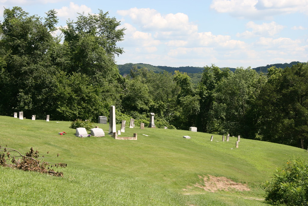
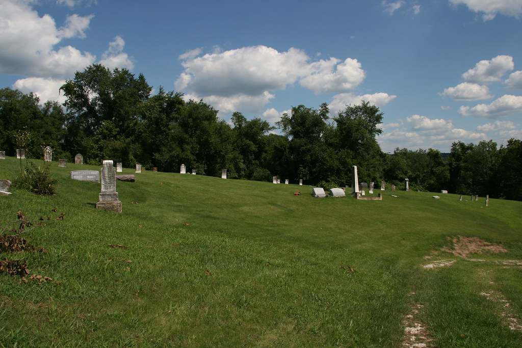
Related Photos:
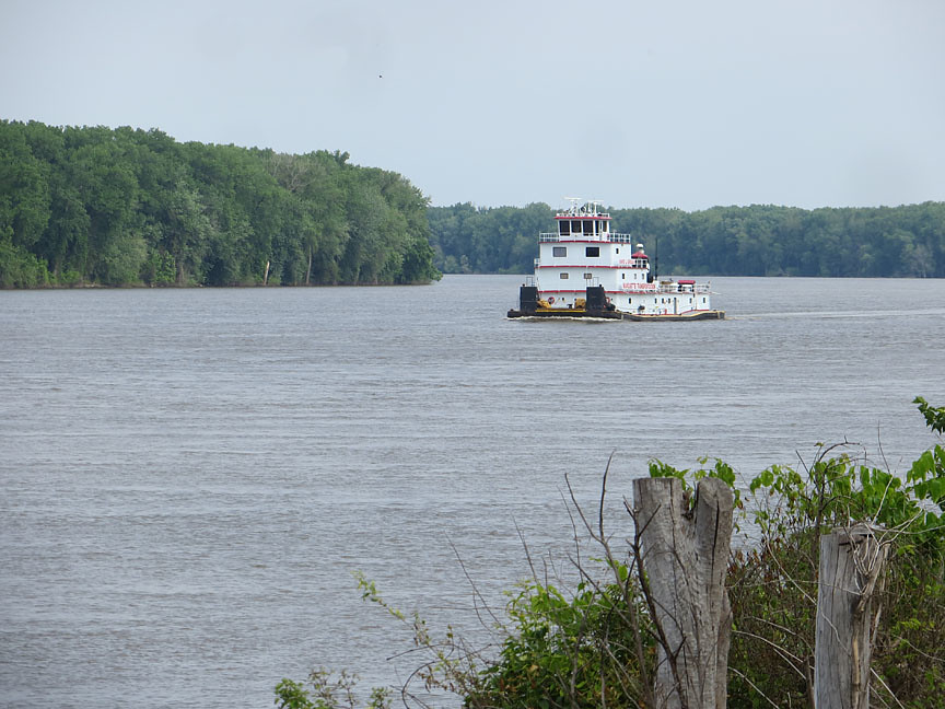
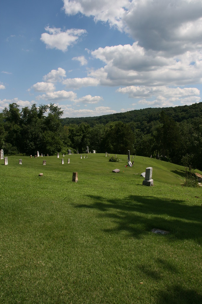
Lone Towboat

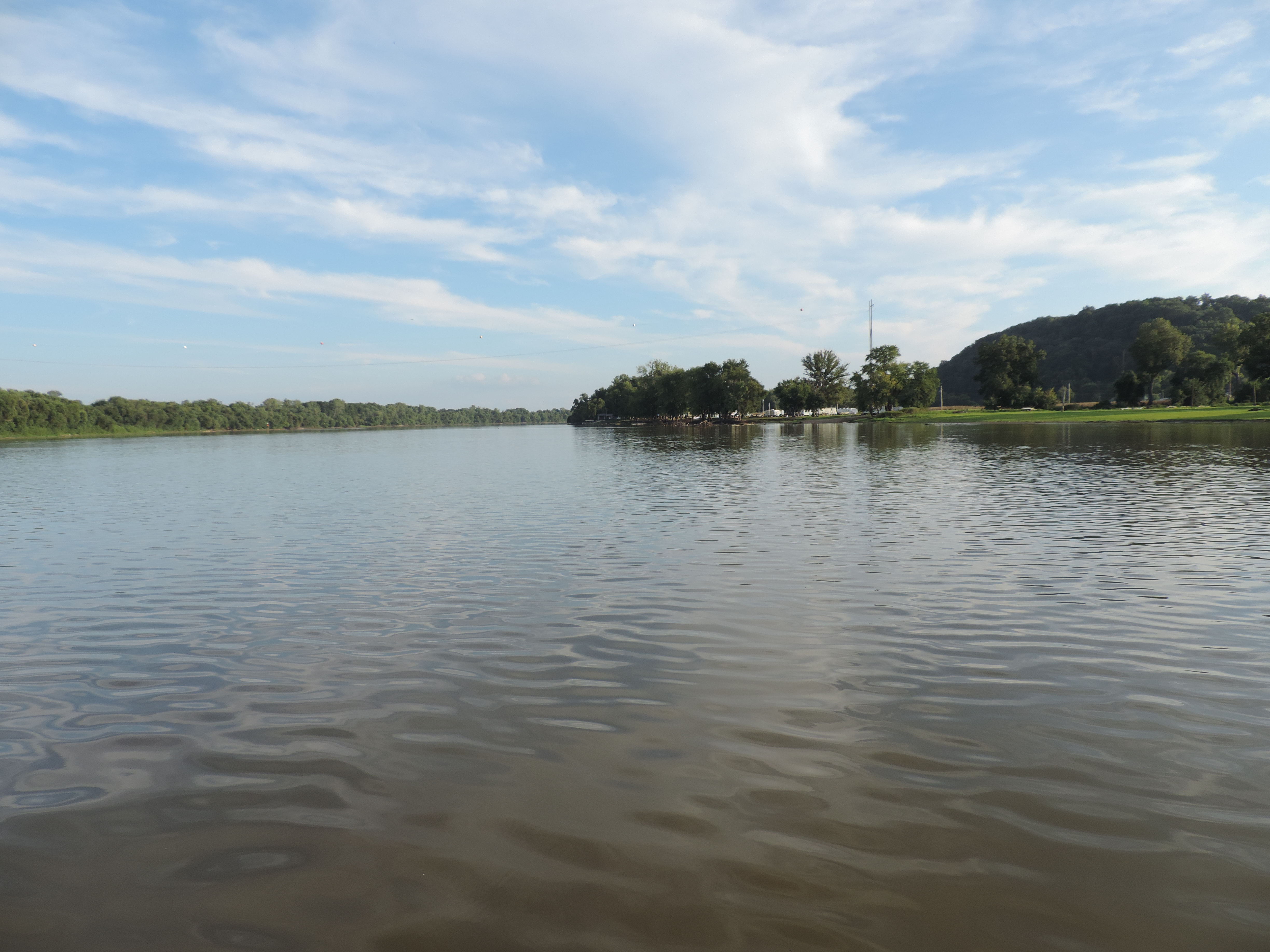
Into the Valley of the Mississippi

IMG_3607.JPG

1980my15-021 copy

A great way to start off the field season! Spent the day abandoning the lab and moving to higher ground. Also prepared the museum (again) for the rising water.
Kampsville Ferry
IMG_3583.JPG

IMG_3606.JPG
IMG_3588.JPG
IMG_3596.JPG

IMG_3605.JPG
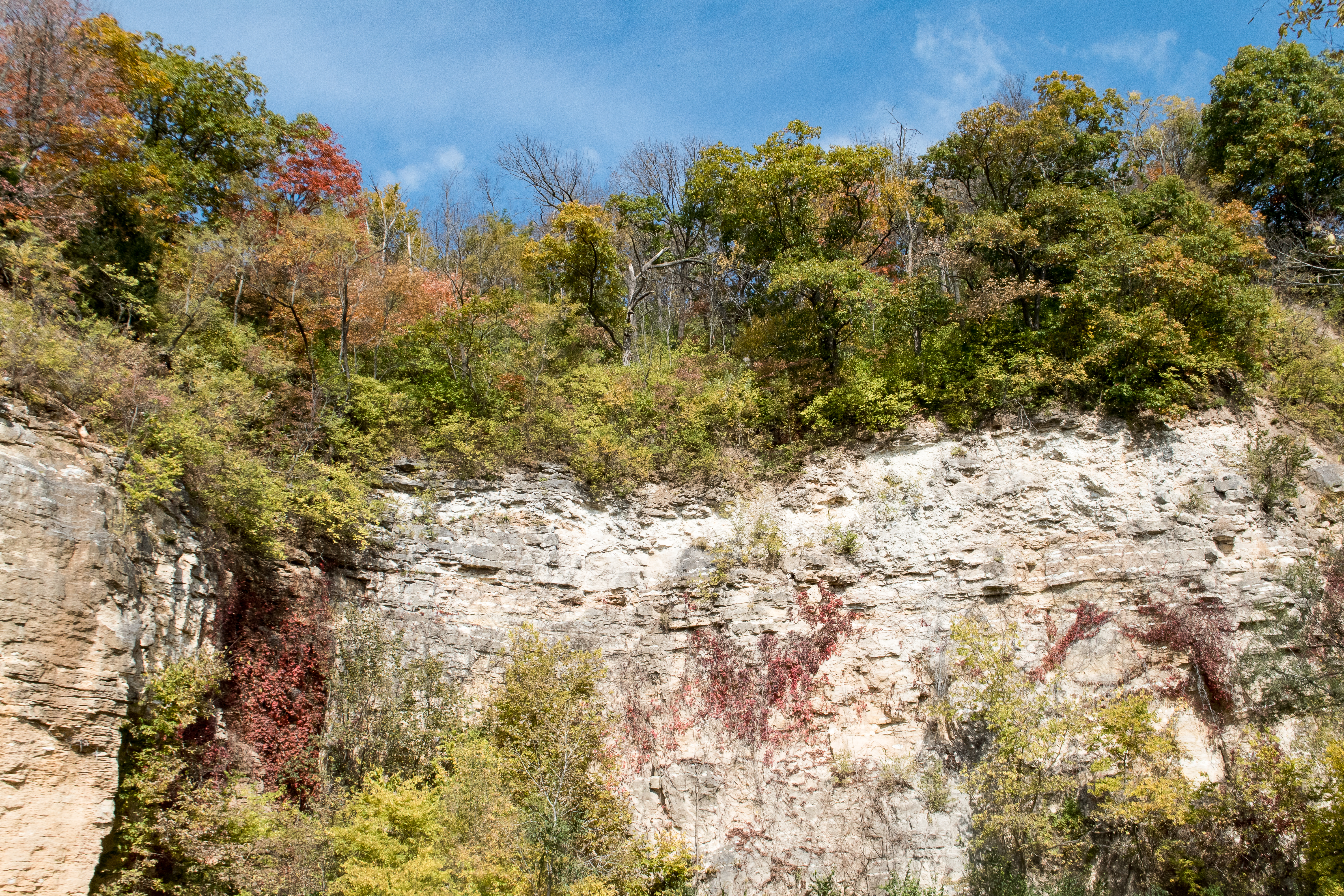
Bluffs at Eldred
IMG_3587.JPG

Illinois River
IMG_3592.JPG
IMG_3584.JPG
Topographic Map of Spankey Ln, Fieldon, IL, USA
Find elevation by address:

Places near Spankey Ln, Fieldon, IL, USA:
Eldred Rd, Fieldon, IL, USA
IL-16, Fieldon, IL, USA
Richwood Township
Calhoun County Circuit Clerk
Fieldon
Calhoun County
Crater Precinct
Fieldon Hollow Rd, Fieldon, IL, USA
Kampsville
Gilead Precinct
Mississippi River Rd, Batchtown, IL, USA
Rosedale Township
Otter Creek Township
Main St, Batchtown, IL, USA
Batchtown
Richwood Township
71 IL-, Pearl, IL, USA
Otterville
Main St, Jerseyville, IL, USA
Jersey County
Recent Searches:
- Elevation of Royal Ontario Museum, Queens Park, Toronto, ON M5S 2C6, Canada
- Elevation of Groblershoop, South Africa
- Elevation of Power Generation Enterprises | Industrial Diesel Generators, Oak Ave, Canyon Country, CA, USA
- Elevation of Chesaw Rd, Oroville, WA, USA
- Elevation of N, Mt Pleasant, UT, USA
- Elevation of 6 Rue Jules Ferry, Beausoleil, France
- Elevation of Sattva Horizon, 4JC6+G9P, Vinayak Nagar, Kattigenahalli, Bengaluru, Karnataka, India
- Elevation of Great Brook Sports, Gold Star Hwy, Groton, CT, USA
- Elevation of 10 Mountain Laurels Dr, Nashua, NH, USA
- Elevation of 16 Gilboa Ln, Nashua, NH, USA