Elevation of Eldred Rd, Fieldon, IL, USA
Location: United States > Illinois > Jersey County >
Longitude: -90.561564
Latitude: 39.141724
Elevation: 141m / 463feet
Barometric Pressure: 100KPa
Elevation Map:
Satellite Map:
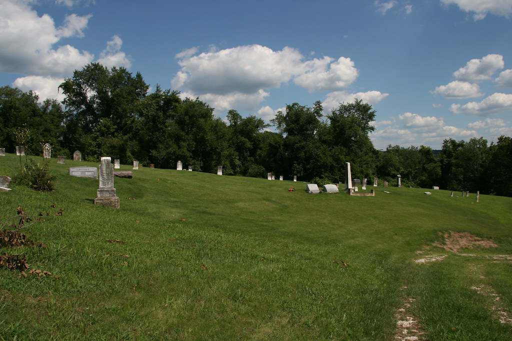
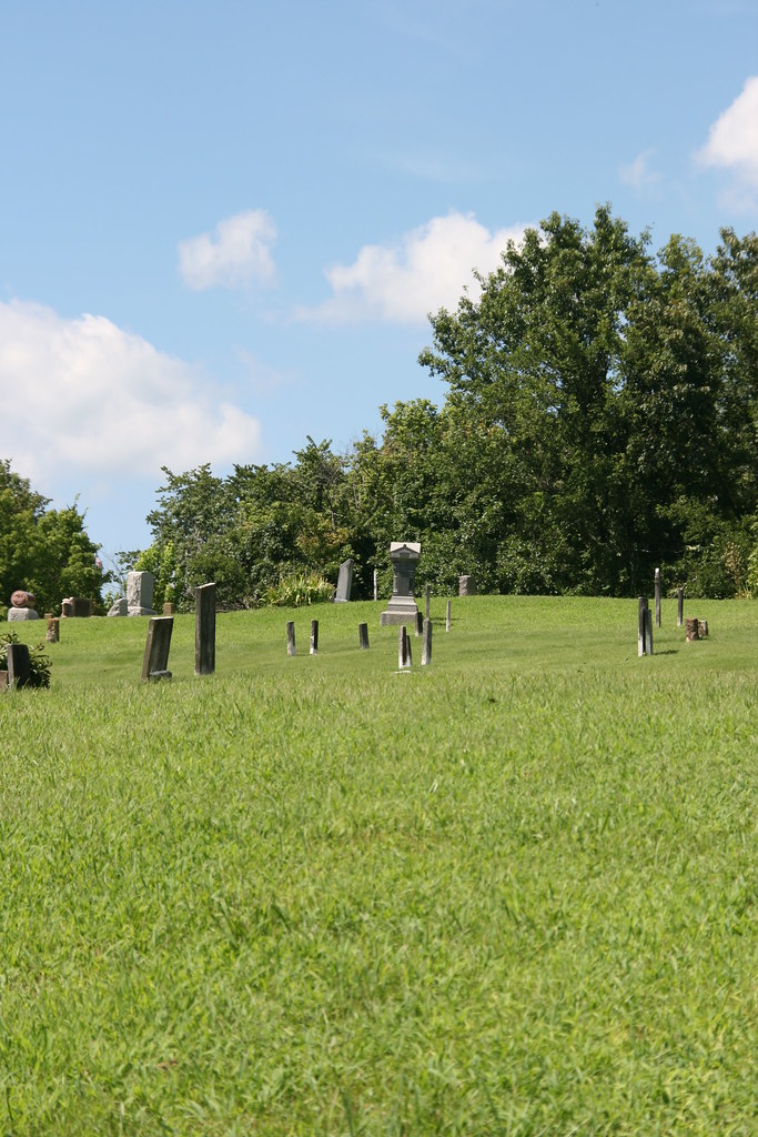
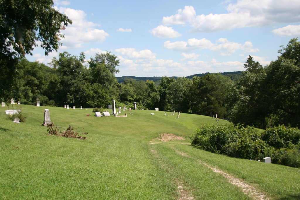
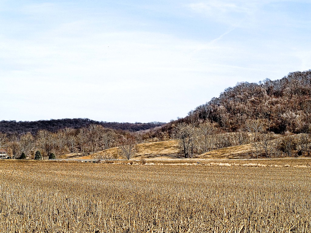
Related Photos:

Greater Yellowlegs at Stump Lake State Fish And Waterfowl Management Area
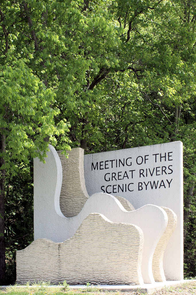
My Kind of Byways!

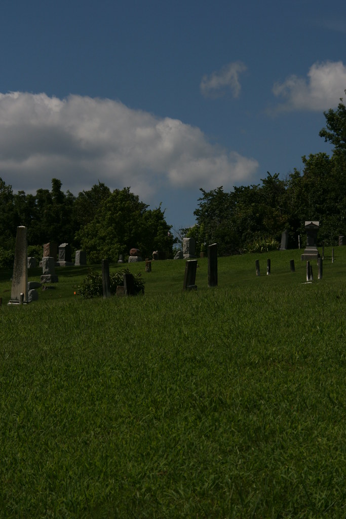
Sunset in Jersey County
IMG_3607.JPG
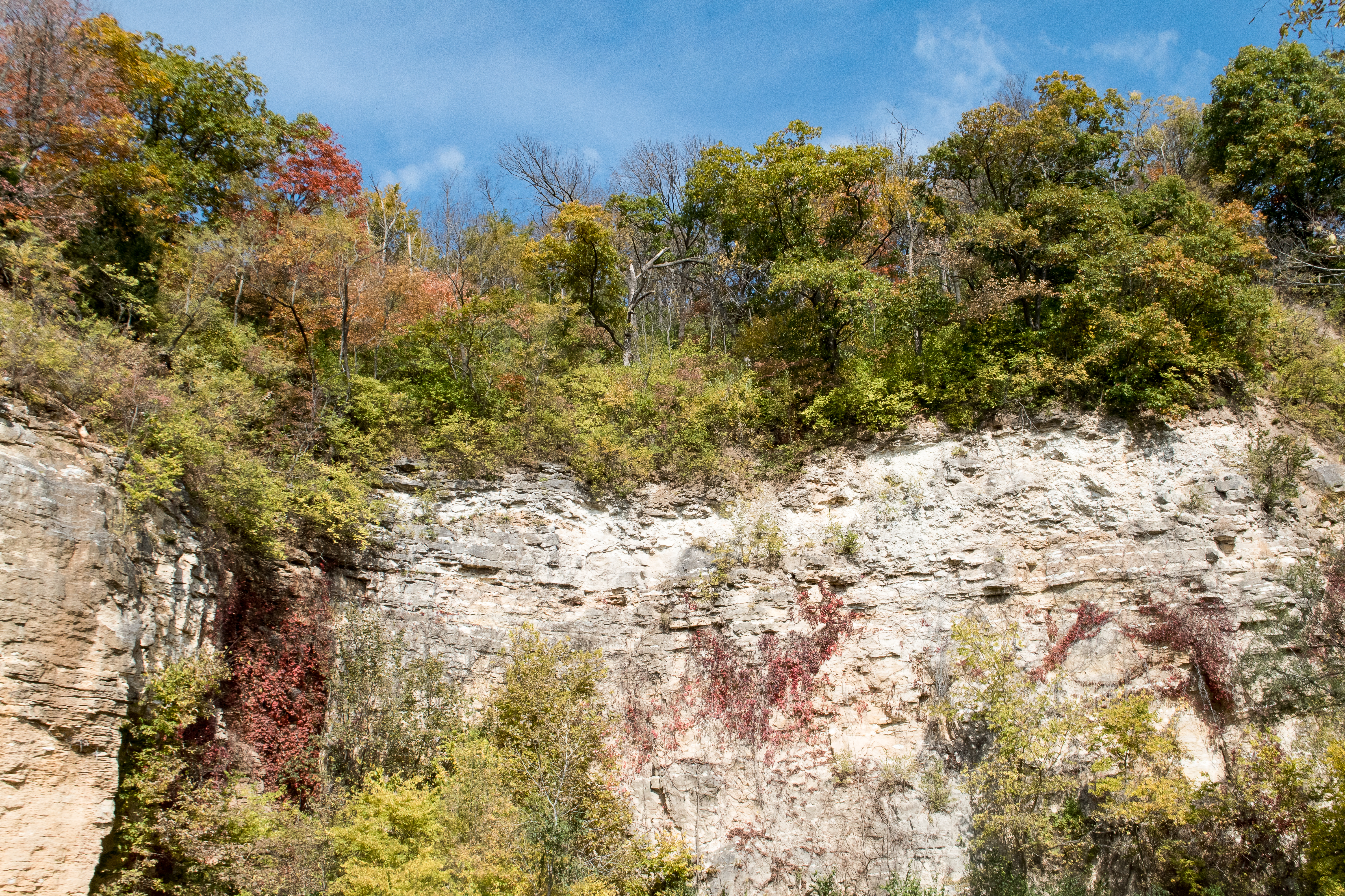
Bluffs at Eldred

1980my15-021 copy
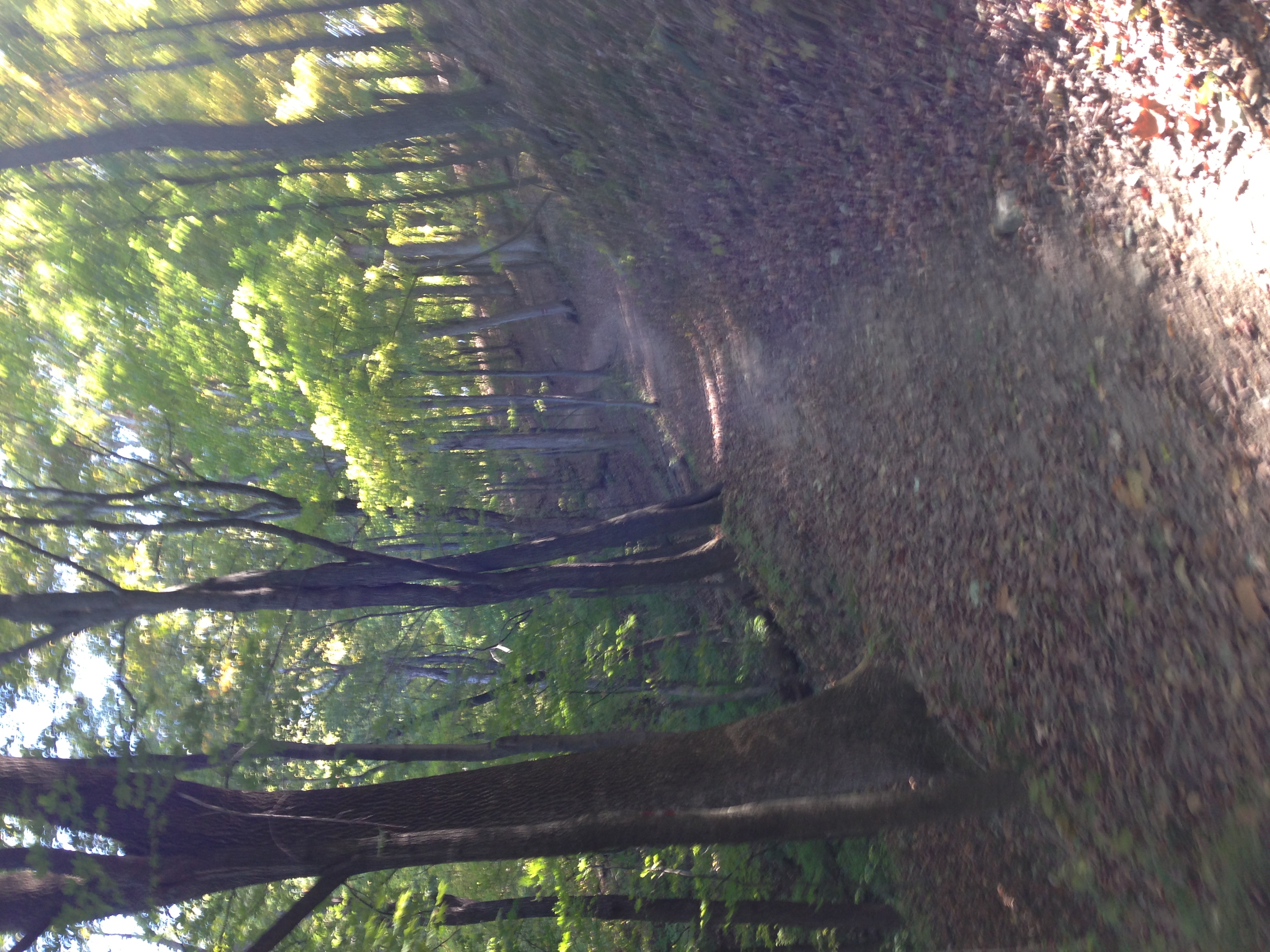
photo.JPG
IMG_3583.JPG
IMG_3606.JPG
IMG_3588.JPG
IMG_3596.JPG
IMG_3592.JPG
IMG_3605.JPG
IMG_3584.JPG
Route 100
IMG_3587.JPG

Into the Valley of the Mississippi
Topographic Map of Eldred Rd, Fieldon, IL, USA
Find elevation by address:

Places near Eldred Rd, Fieldon, IL, USA:
Richwood Township
IL-16, Fieldon, IL, USA
Spankey Ln, Fieldon, IL, USA
Calhoun County Circuit Clerk
Fieldon
Fieldon Hollow Rd, Fieldon, IL, USA
Rosedale Township
Calhoun County
Mississippi River Rd, Batchtown, IL, USA
Gilead Precinct
Main St, Batchtown, IL, USA
Crater Precinct
Batchtown
Richwood Township
Otter Creek Township
Kampsville
Quarry Township
Otterville
Main St, Jerseyville, IL, USA
Old Ferry Road
Recent Searches:
- Elevation of Corso Fratelli Cairoli, 35, Macerata MC, Italy
- Elevation of Tallevast Rd, Sarasota, FL, USA
- Elevation of 4th St E, Sonoma, CA, USA
- Elevation of Black Hollow Rd, Pennsdale, PA, USA
- Elevation of Oakland Ave, Williamsport, PA, USA
- Elevation of Pedrógão Grande, Portugal
- Elevation of Klee Dr, Martinsburg, WV, USA
- Elevation of Via Roma, Pieranica CR, Italy
- Elevation of Tavkvetili Mountain, Georgia
- Elevation of Hartfords Bluff Cir, Mt Pleasant, SC, USA