Elevation of Southgate Rd 10, Mount Forest, ON N0G 2L0, Canada
Location: Canada > Ontario > Wellington County > Wellington North > Mount Forest >
Longitude: -80.589318
Latitude: 44.0520307
Elevation: 470m / 1542feet
Barometric Pressure: 96KPa
Elevation Map:
Satellite Map:
Related Photos:

Zoom Zoom Zoom 1

Zoom Zoom Zoom 2

Supercell & Wall Cloud

Holstein Mill.jpg

Spin Out Back
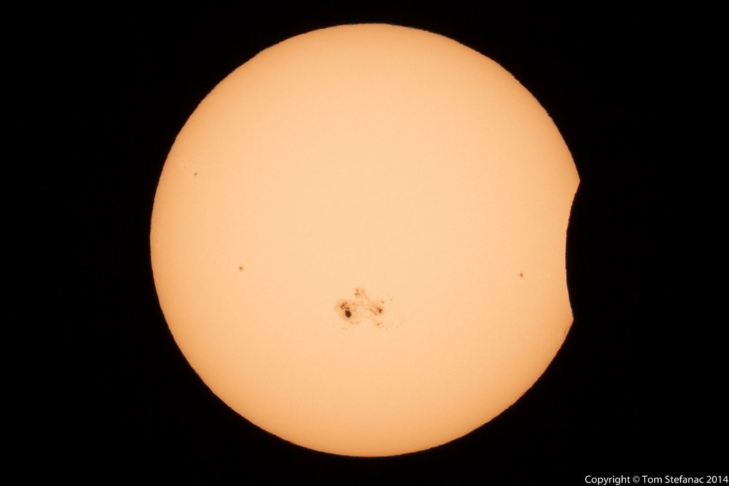
Solar Eclipse - 5:41PM

Car Show Crowd 1

Solar Eclipse - 6:20PM

2011-05-21_Grass Fed Beef

Dam View

Dam View

Reservoir View

Reservoir View

Front View Dam

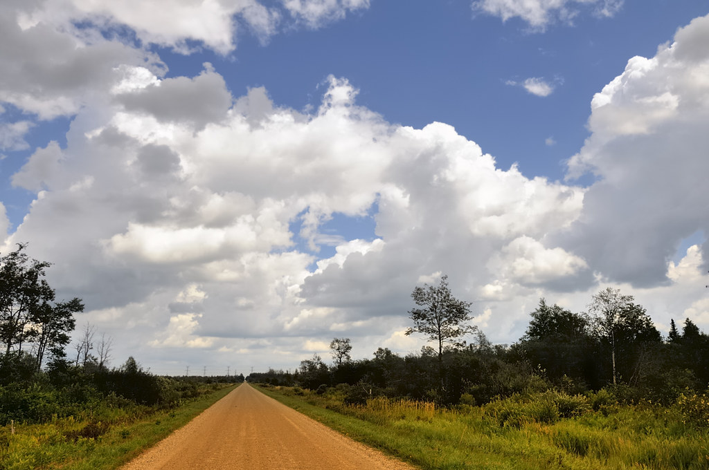
Rural scene from Southgate (xplrd)
Great clouds - Luther Marsh, Grand Valley, Dufferin County, Ontario.

Sideroad 47

Yellow Farm

Wall Cloud Cycling

Solar Eclipse - 6:00PM

Trail to Dam
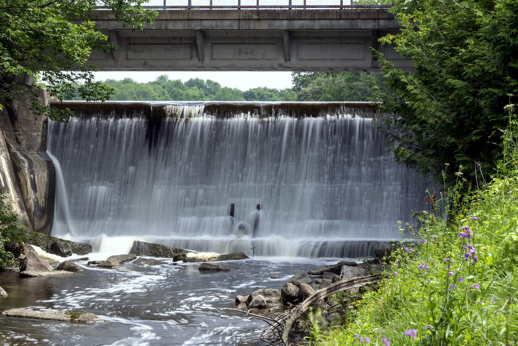
Holstein Dam

Holstein Dam
Topographic Map of Southgate Rd 10, Mount Forest, ON N0G 2L0, Canada
Find elevation by address:

Places near Southgate Rd 10, Mount Forest, ON N0G 2L0, Canada:
104519 Southgate Rd 10
Conn
Southgate
Hopeville
491523 Southgate Sideroad 49
491523 Southgate Sideroad 49
491523 Southgate Sideroad 49
8256 10 Line
N0g 2l0
Monck
186220 Grey Rd 9
186220 Grey Rd 9
305051 S Line
305051 S Line
304528 S Line
Wellington North
Priceville
Prince St, Priceville, ON N0C 1K0, Canada
Kenilworth
553249 Grey Rd 23
Recent Searches:
- Elevation of Lampiasi St, Sarasota, FL, USA
- Elevation of Elwyn Dr, Roanoke Rapids, NC, USA
- Elevation of Congressional Dr, Stevensville, MD, USA
- Elevation of Bellview Rd, McLean, VA, USA
- Elevation of Stage Island Rd, Chatham, MA, USA
- Elevation of Shibuya Scramble Crossing, 21 Udagawacho, Shibuya City, Tokyo -, Japan
- Elevation of Jadagoniai, Kaunas District Municipality, Lithuania
- Elevation of Pagonija rock, Kranto 7-oji g. 8"N, Kaunas, Lithuania
- Elevation of Co Rd 87, Jamestown, CO, USA
- Elevation of Tenjo, Cundinamarca, Colombia