Elevation of Conn, ON N0G 1N0, Canada
Location: Canada > Ontario > Wellington County > Wellington North >
Longitude: -80.569032
Latitude: 43.9980783
Elevation: -10000m / -32808feet
Barometric Pressure: 295KPa
Elevation Map:
Satellite Map:
Related Photos:

Supercell & Wall Cloud

Spin Out Back

Car Show Crowd 1

Rural scene from Southgate (xplrd)

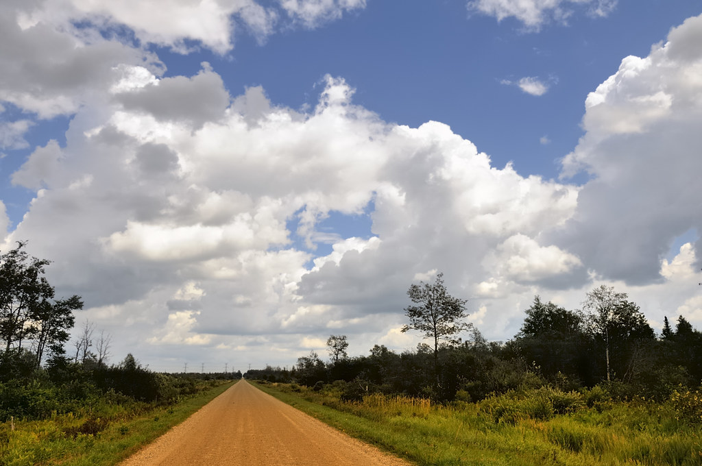
Sideroad 47

Rural landscape with hydro towers - Monticello, Dufferin County, Ontario..

Flock Guardian
Great clouds - Luther Marsh, Grand Valley, Dufferin County, Ontario.

Luther Marsh Conservation

Luther Conservation

Wall Cloud Cycling

Sunrise Over Luther Marsh

Sunset at Luther Marsh
Topographic Map of Conn, ON N0G 1N0, Canada
Find elevation by address:

Places near Conn, ON N0G 1N0, Canada:
104519 Southgate Rd 10
104519 Southgate Rd 10
8256 10 Line
Monck
Wellington North
7506 Side Rd 7
7506 Side Rd 7
491523 Southgate Sideroad 49
491523 Southgate Sideroad 49
491523 Southgate Sideroad 49
Kenilworth
Hopeville
Southgate
Petherton
N0g 2l0
186220 Grey Rd 9
186220 Grey Rd 9
160 S Water St
Walsh's Ida Pharmacy
Mount Forest
Recent Searches:
- Elevation of Lampiasi St, Sarasota, FL, USA
- Elevation of Elwyn Dr, Roanoke Rapids, NC, USA
- Elevation of Congressional Dr, Stevensville, MD, USA
- Elevation of Bellview Rd, McLean, VA, USA
- Elevation of Stage Island Rd, Chatham, MA, USA
- Elevation of Shibuya Scramble Crossing, 21 Udagawacho, Shibuya City, Tokyo -, Japan
- Elevation of Jadagoniai, Kaunas District Municipality, Lithuania
- Elevation of Pagonija rock, Kranto 7-oji g. 8"N, Kaunas, Lithuania
- Elevation of Co Rd 87, Jamestown, CO, USA
- Elevation of Tenjo, Cundinamarca, Colombia