Elevation of South St, Blue Hill, ME, USA
Location: United States > Maine > Hancock County > Blue Hill >
Longitude: -68.573522
Latitude: 44.3853504
Elevation: 31m / 102feet
Barometric Pressure: 101KPa
Elevation Map:
Satellite Map:
Related Photos:

View from Caterpillar Hill

Summer Bus! - Sedgwick Maine

Bridge Downtown Blue Hill 3D cross view

The low tide walkway to the Flye Point Lighthouse (AKA Blue Hill Bay Light)

Small White Grass-veneer (Crambus albellus)

Dun Skipper (Euphyes vestris)

Autumn View from Caterpillar Hill

High Tide 3D Cross View

view for two

Brooksville Events 3d Cross Eye View

Aerial View of Little Deer Isle and the Deer Isle - Sedgwick Bridge

Aerial View (1) of the Deer Isle - Sedgwick Bridge

WP_20140818_19_16_13_Raw.jpg

IMG_6520.jpg

GSA Graduates 3D Cross View

Sausage at the Fair

View from Dirigo to Bartlett Island

The Camden Hills

IMG_6516.jpg

IMG_6526.jpg

"Camp"

Alien Egg

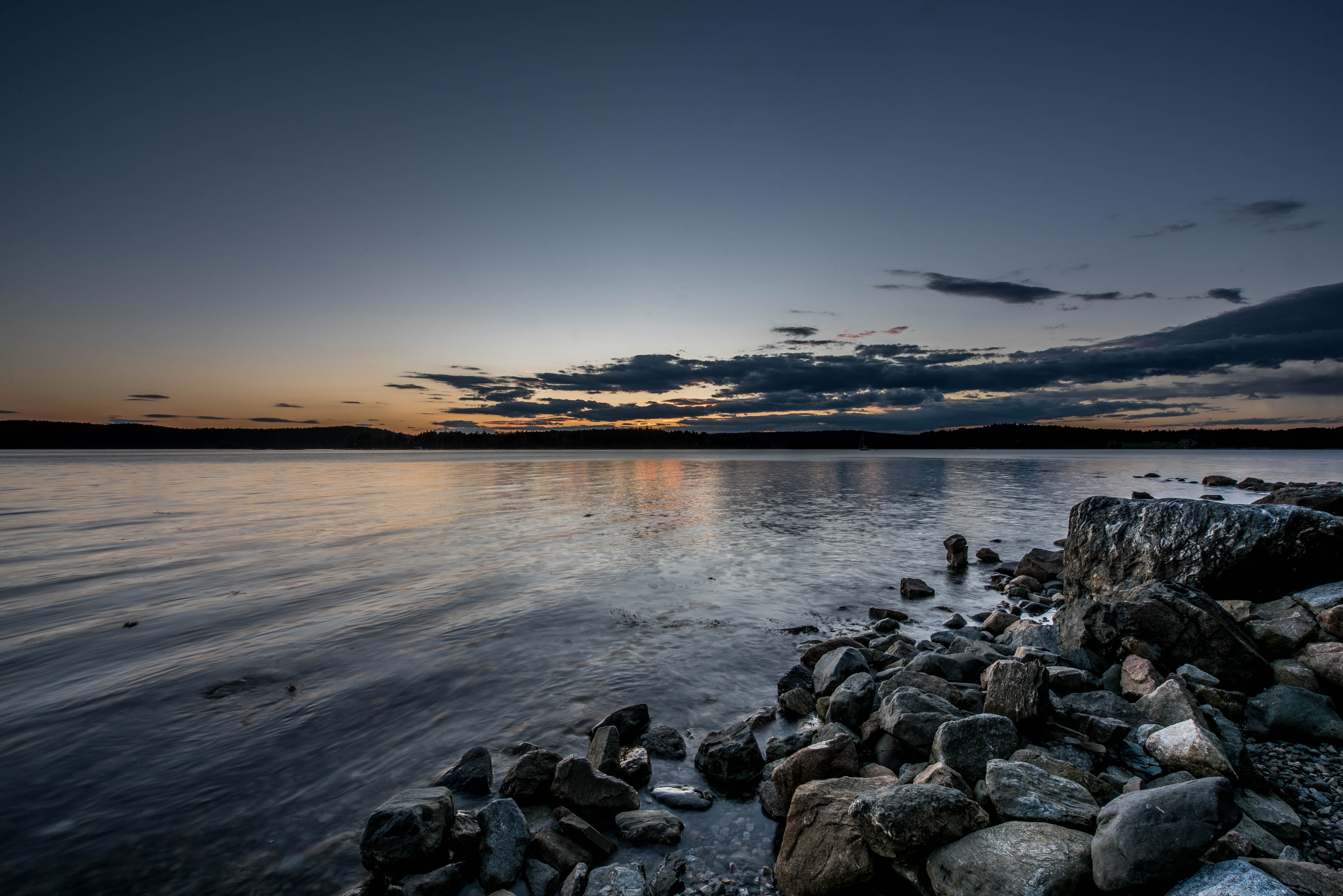
Sunset on Blue Hill Bay

Morgan Bay
Pretty Marsh Harbor - Acadia National Park

E.T., Phone Hohmann

Milky Way Over Curtis Cove

Pretty Marsh Sunset

Sunset over Eggemoggin Reach

And an Island Never Cries

Star Trails in Maine

Stave Island & the Deer Isle Causeway

Bluehill ME Low Tide 7-29-1981

Beach Rocks 3895

Just Another Sunset

(drive) ... on the water

Bartlett Island

A Walk in the Woods
Topographic Map of South St, Blue Hill, ME, USA
Find elevation by address:

Places near South St, Blue Hill, ME, USA:
42 Larchwood Ln
Parker Point Road
Parker Point
Parker Point Lane
Water Street
Blue Hill
Hawkhurst Lane
Mill Brook Lane
258 Mountain Rd
684 Falls Bridge Rd
470 Pleasant St
50 Loon Ln
50 Loon Ln
276 N Sedgwick Rd
North Sedgwick Road
924 Bay Rd
32 Sea Spray Ln
607 Me-172
607 Me-172
71 Schooner Ln
Recent Searches:
- Elevation of Congressional Dr, Stevensville, MD, USA
- Elevation of Bellview Rd, McLean, VA, USA
- Elevation of Stage Island Rd, Chatham, MA, USA
- Elevation of Shibuya Scramble Crossing, 21 Udagawacho, Shibuya City, Tokyo -, Japan
- Elevation of Jadagoniai, Kaunas District Municipality, Lithuania
- Elevation of Pagonija rock, Kranto 7-oji g. 8"N, Kaunas, Lithuania
- Elevation of Co Rd 87, Jamestown, CO, USA
- Elevation of Tenjo, Cundinamarca, Colombia
- Elevation of Côte-des-Neiges, Montreal, QC H4A 3J6, Canada
- Elevation of Bobcat Dr, Helena, MT, USA