Elevation of Bay Rd, Brooklin, ME, USA
Location: United States > Maine > Hancock County > Brooklin >
Longitude: -68.570600
Latitude: 44.315512
Elevation: 28m / 92feet
Barometric Pressure: 101KPa
Elevation Map:
Satellite Map:
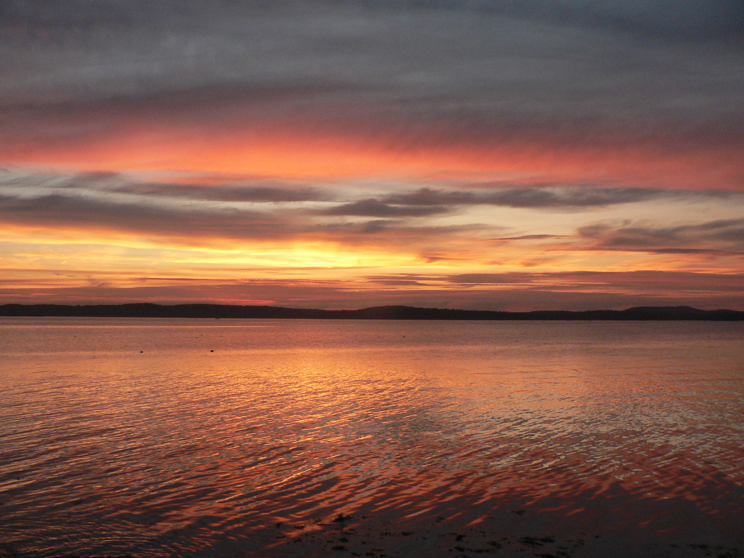
Related Photos:

good morning

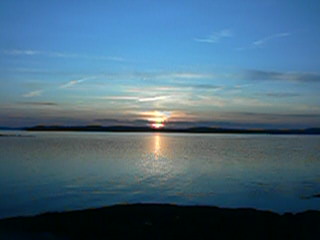
Brooklin Dawn
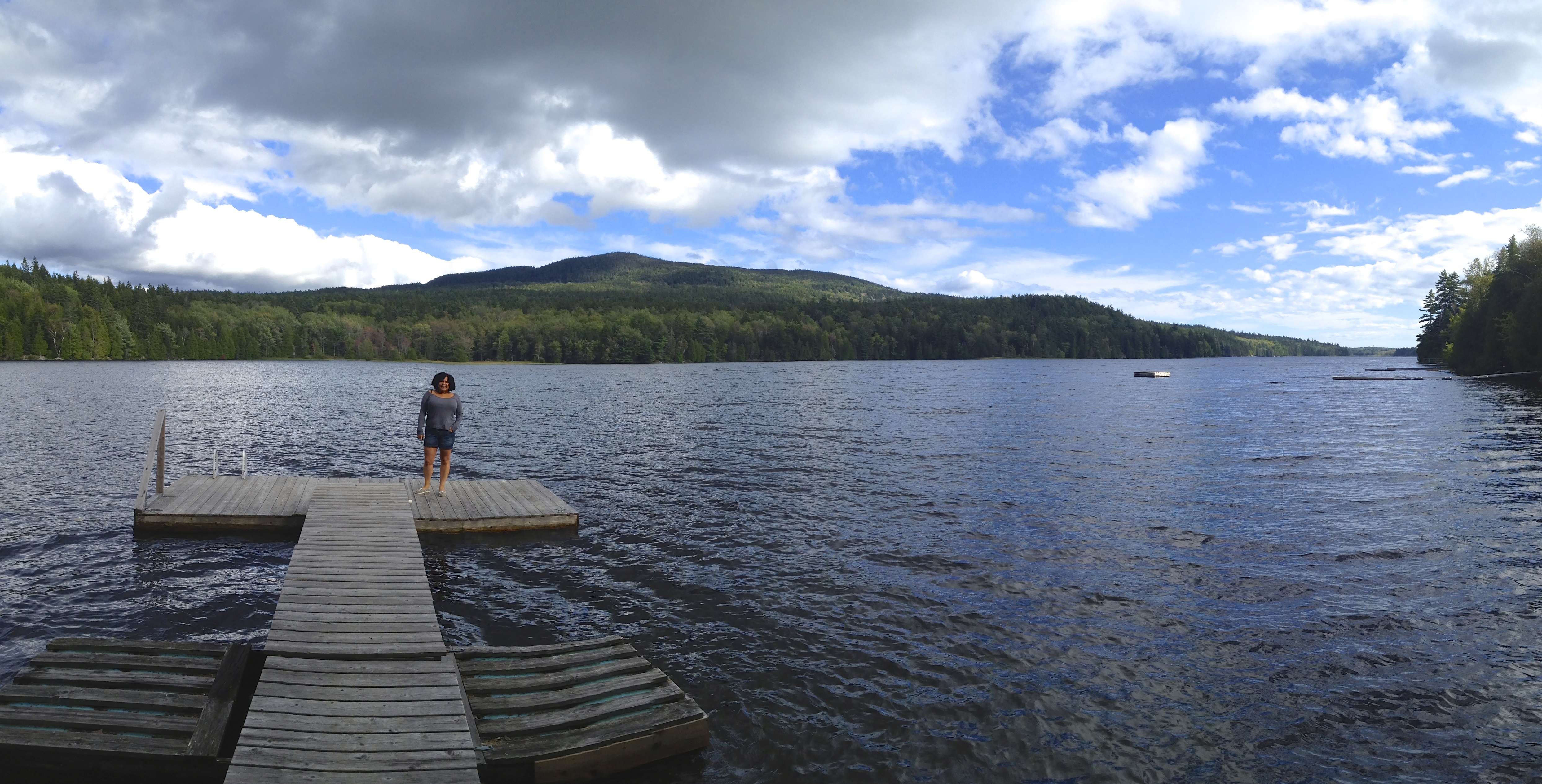
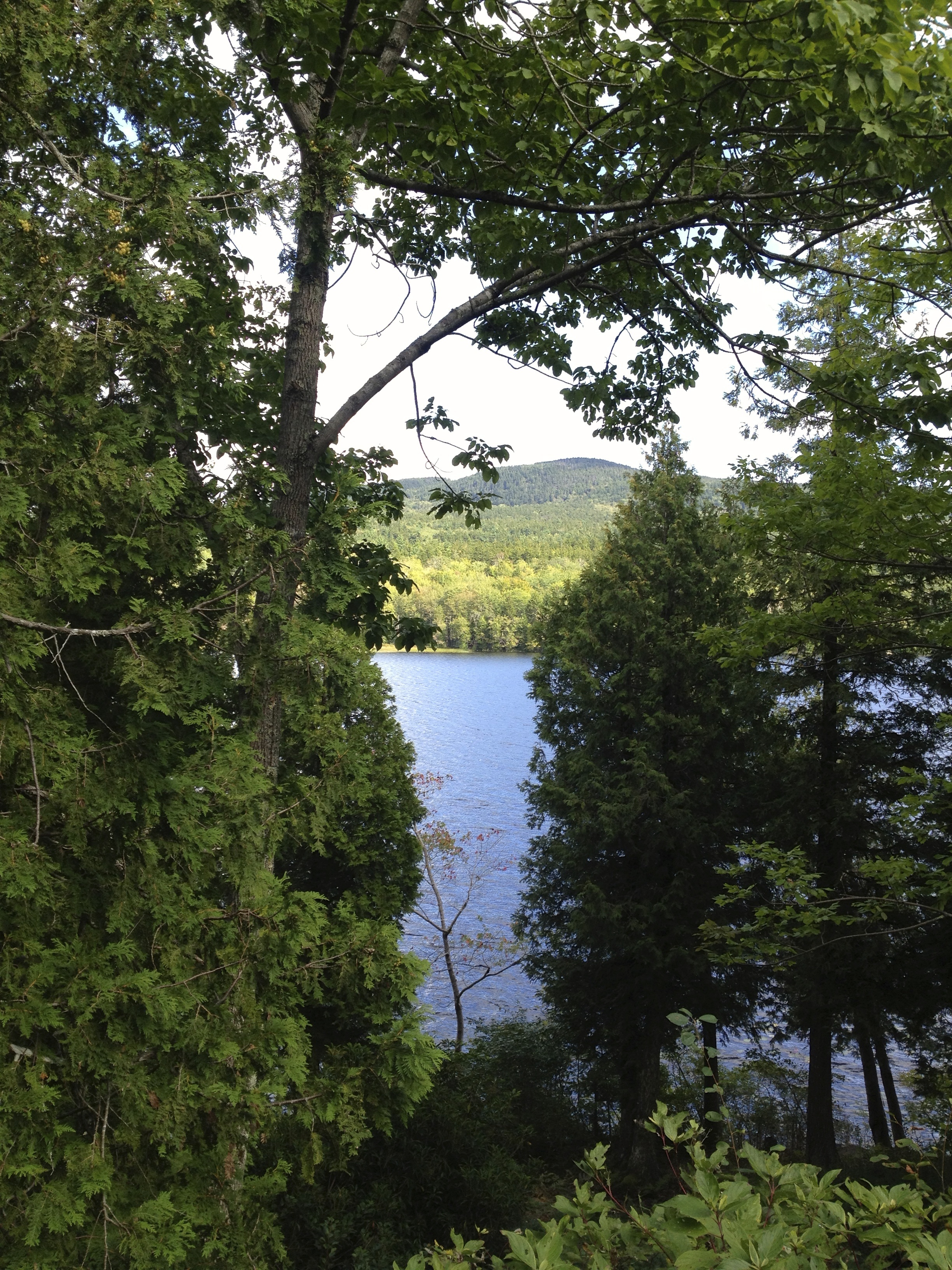
View from Pretty Marsh Cabin
View from Big Hay Island
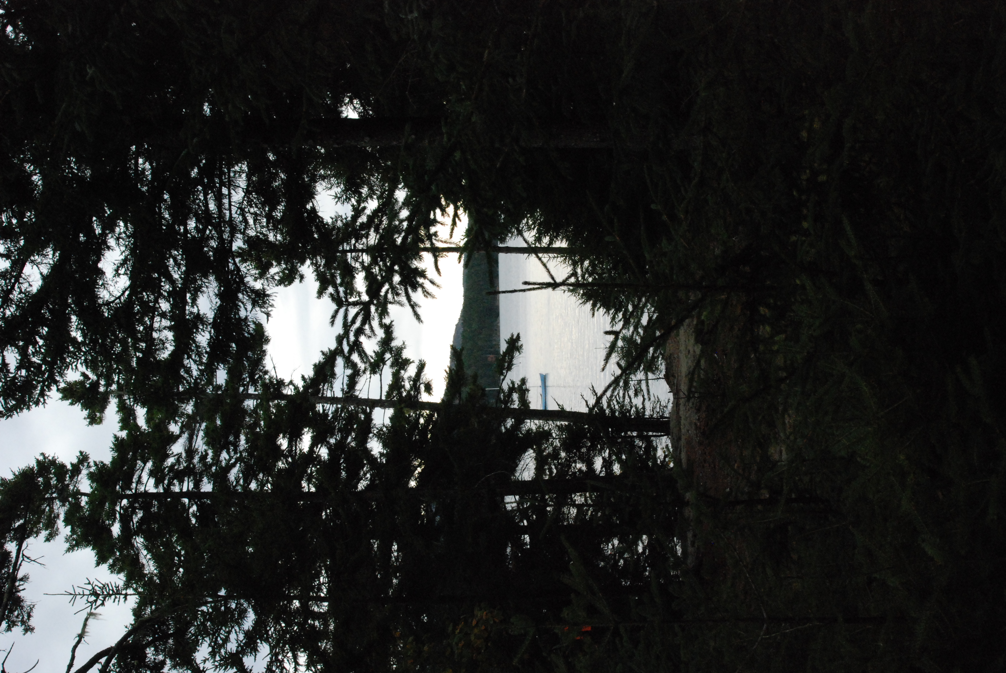
Foggy view

Blue Hill Light

R_20090831181356_162-Edit
IMG_6520.jpg

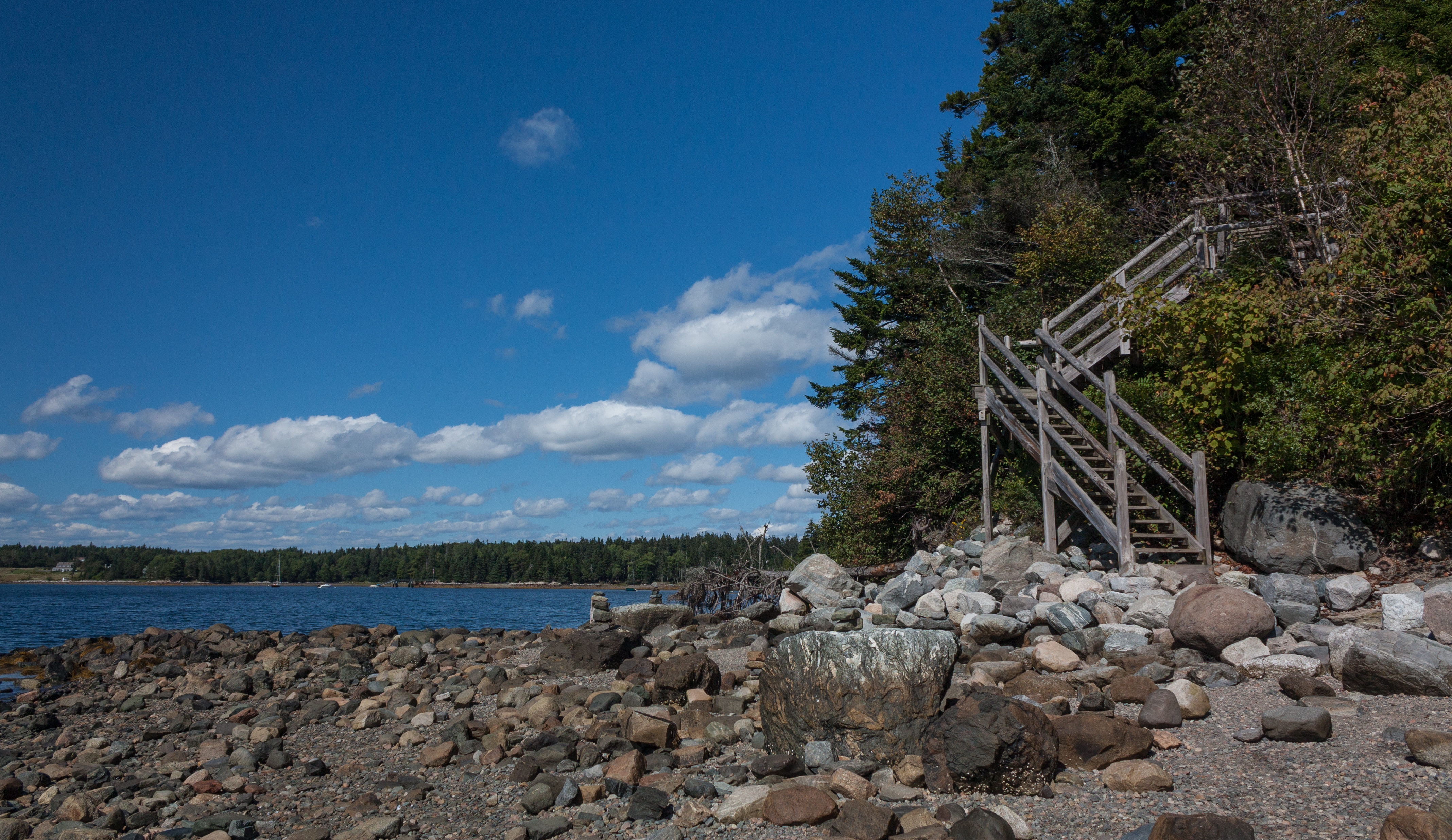
The low tide walkway to the Flye Point Lighthouse (AKA Blue Hill Bay Light)
Dock View
IMG_6526.jpg
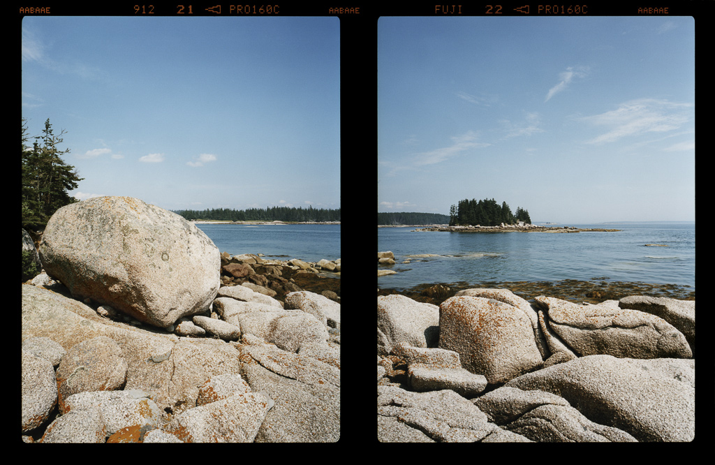
View of Harbor and Sellers Islands from Hogg Island, Brooklin, Maine 2007
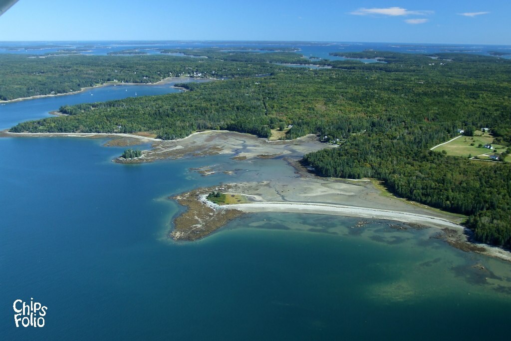
Aerial View of Deer Isle, Maine

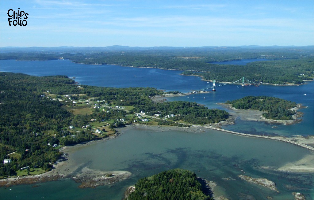
Aerial View (1) of the Deer Isle - Sedgwick Bridge
Aerial View of Little Deer Isle and the Deer Isle - Sedgwick Bridge

Sausage at the Fair
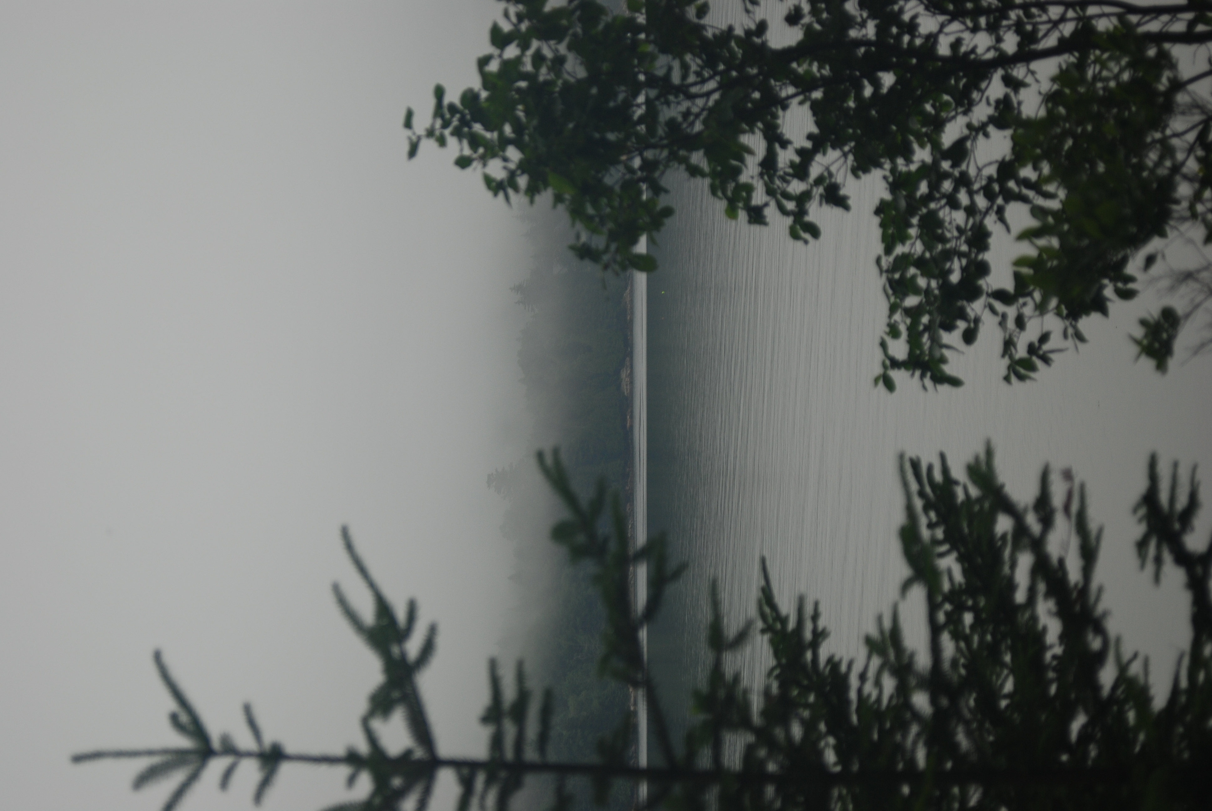
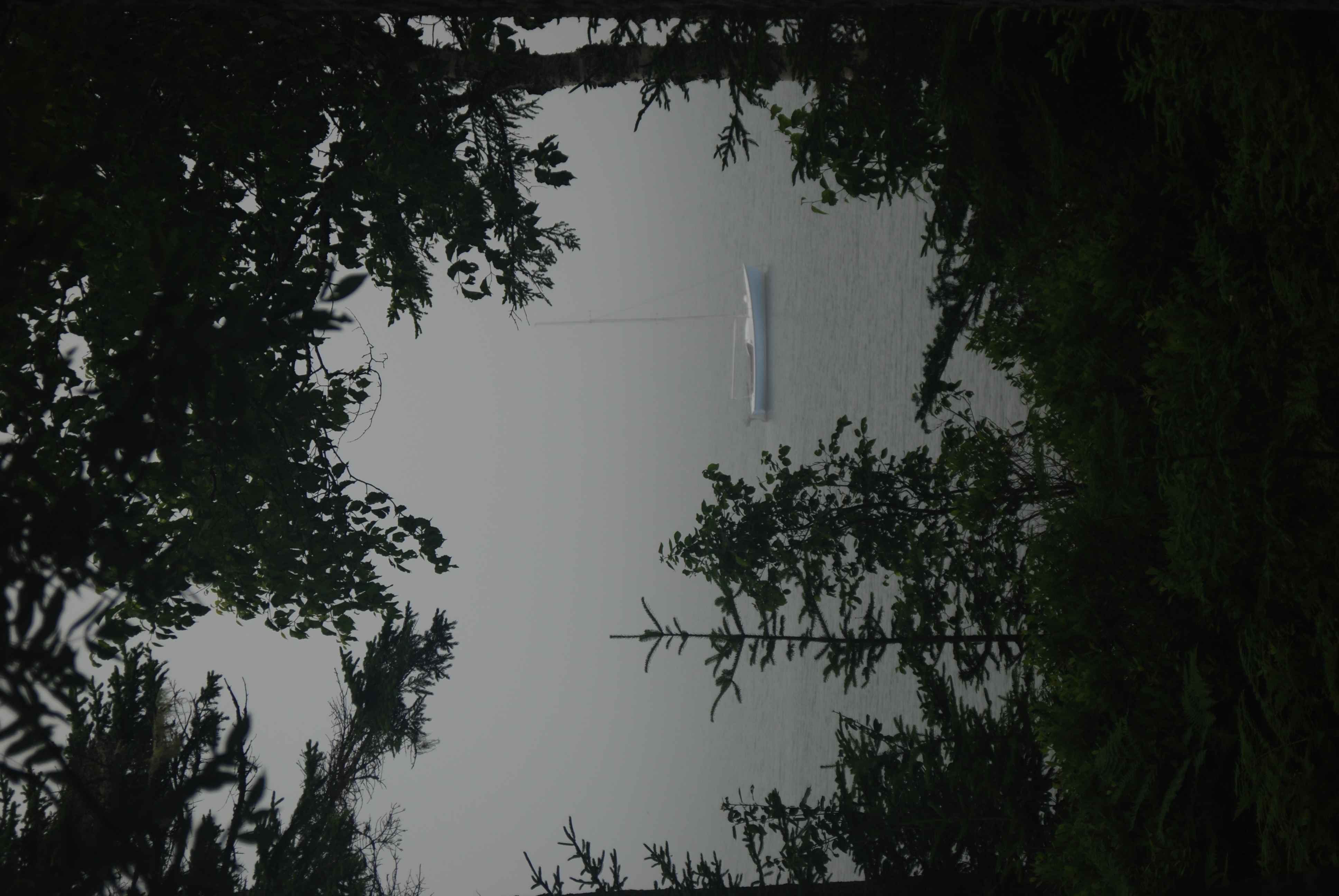
Foggy view
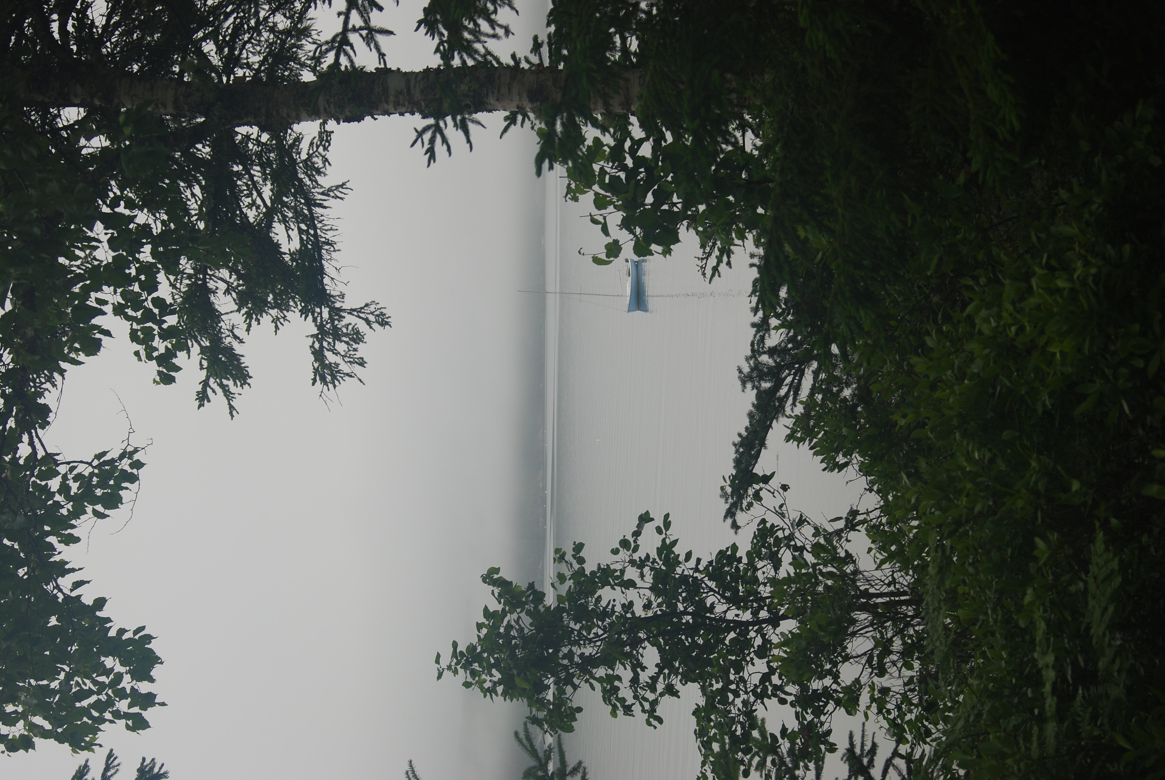
Foggy view
View from Dirigo to Bartlett Island

Nelson's Sparrow
Deck View
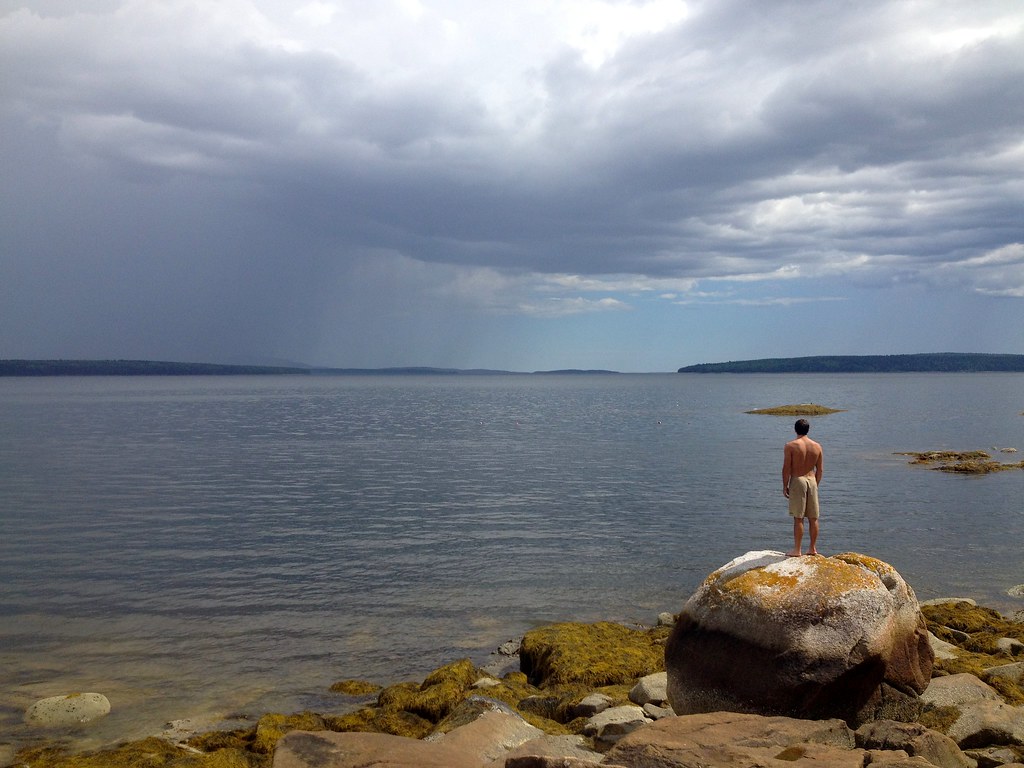
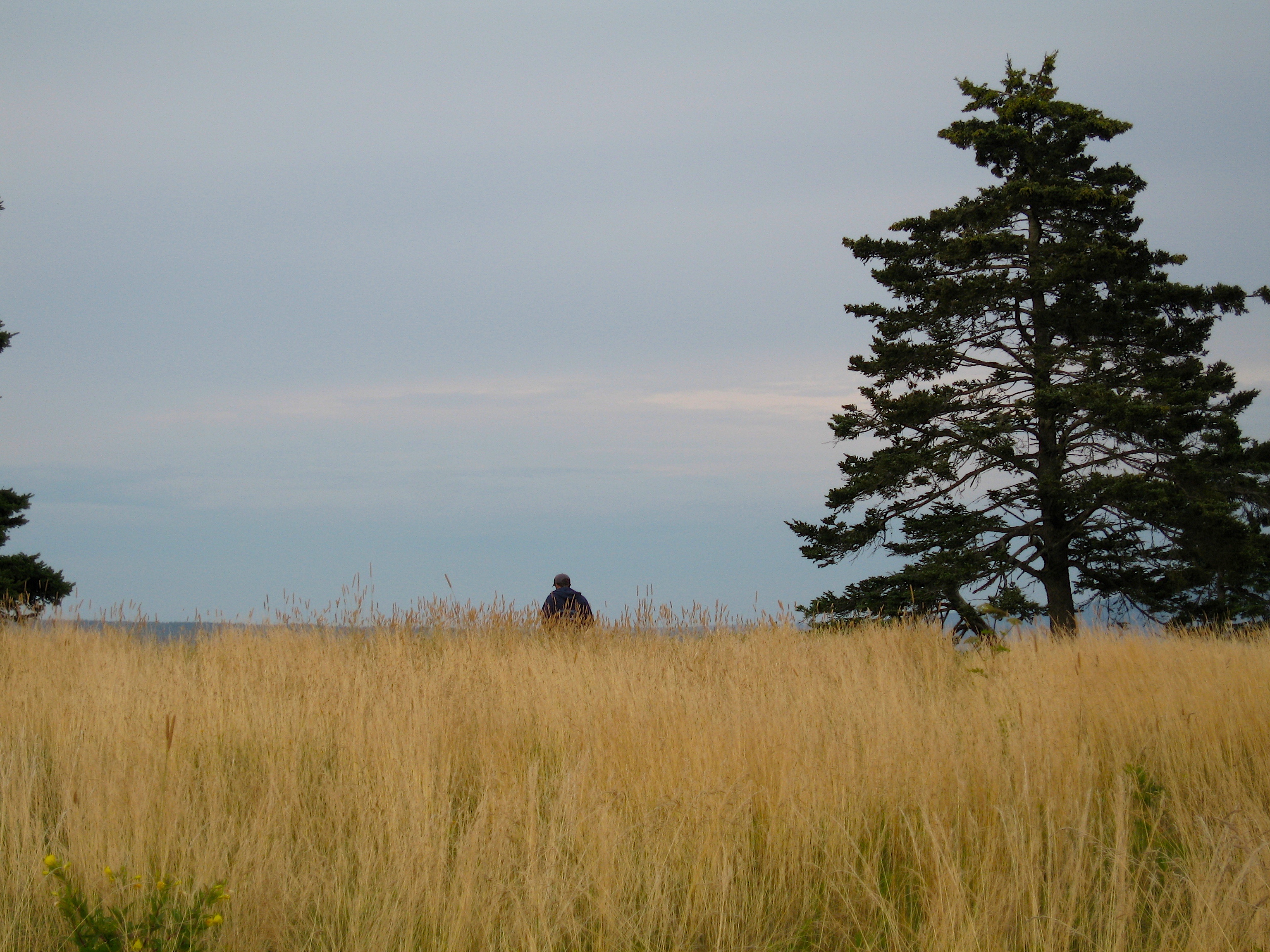
Man & the Sea

Marriner's Park at Dawn
Pretty Marsh Harbor - Acadia National Park

The Mill Stream and Harbor
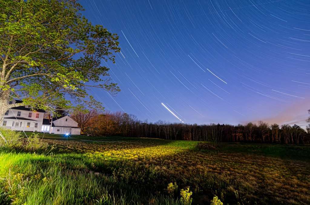
Star Trails over Deer Isle 7482
IMG_3793.jpg

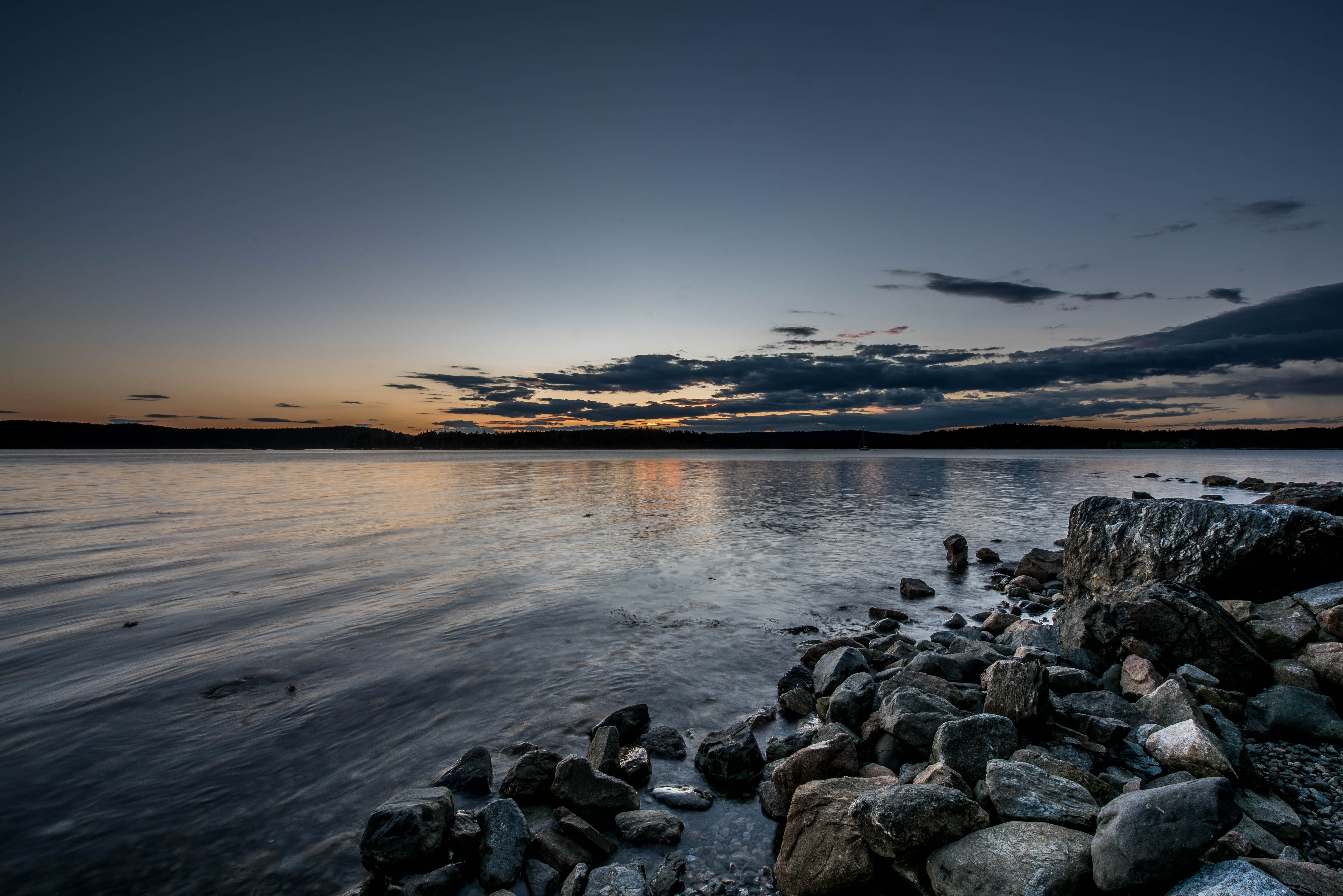
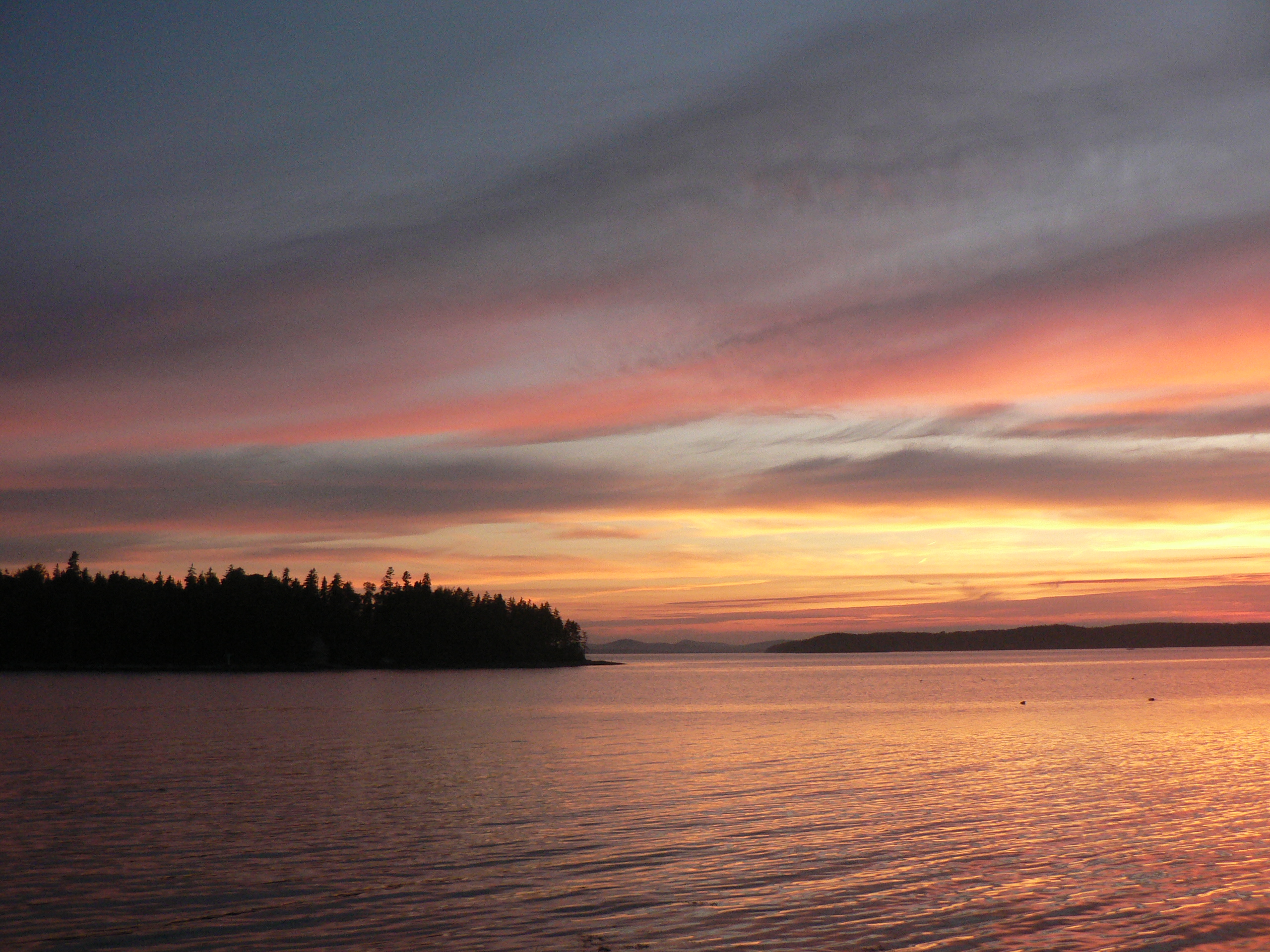
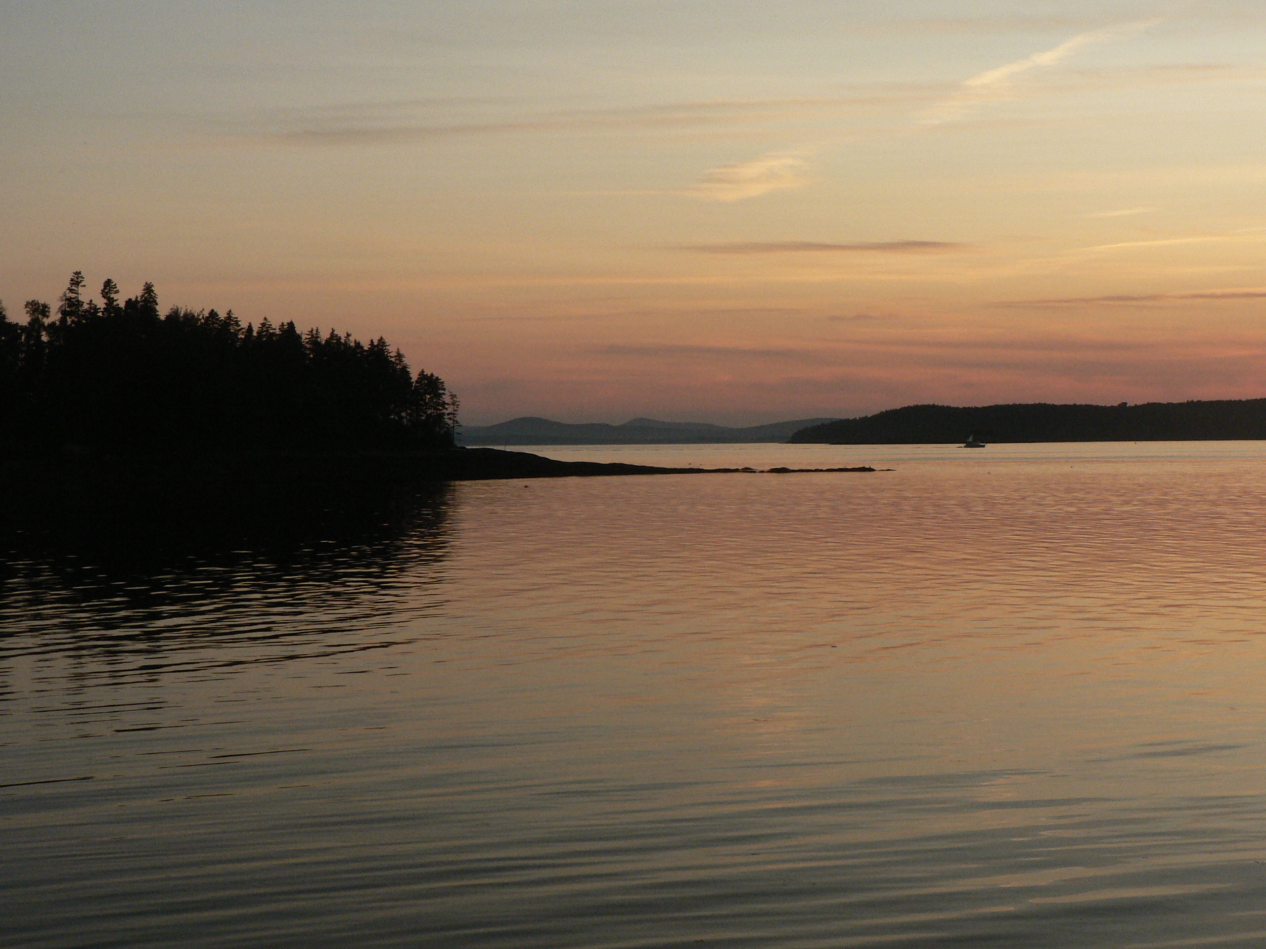
Pretty Marsh Sunset
IMG_3794.jpg
IMG_3795.jpg
Thresholds sunset - Little Deer Isle ME 20090721 064
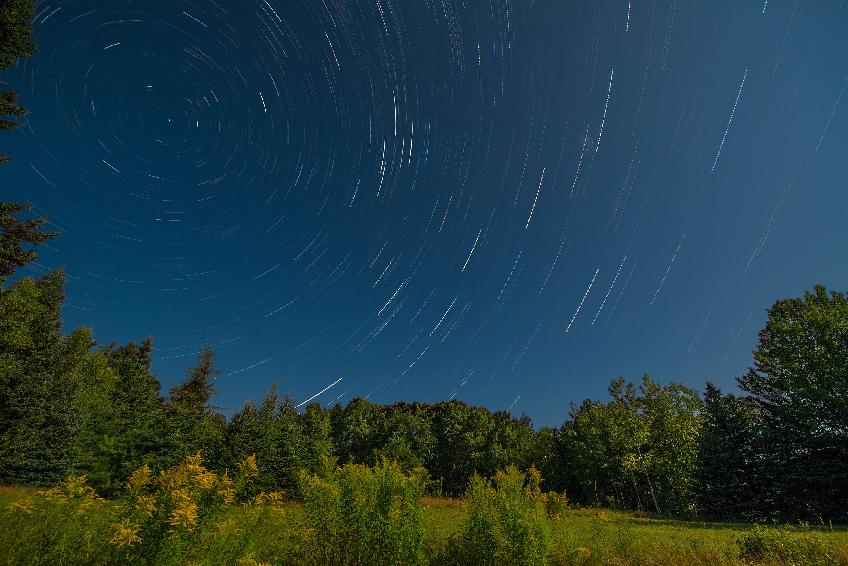
Star Trails in Maine
Thresholds sunset - Little Deer Isle ME 20090721 066

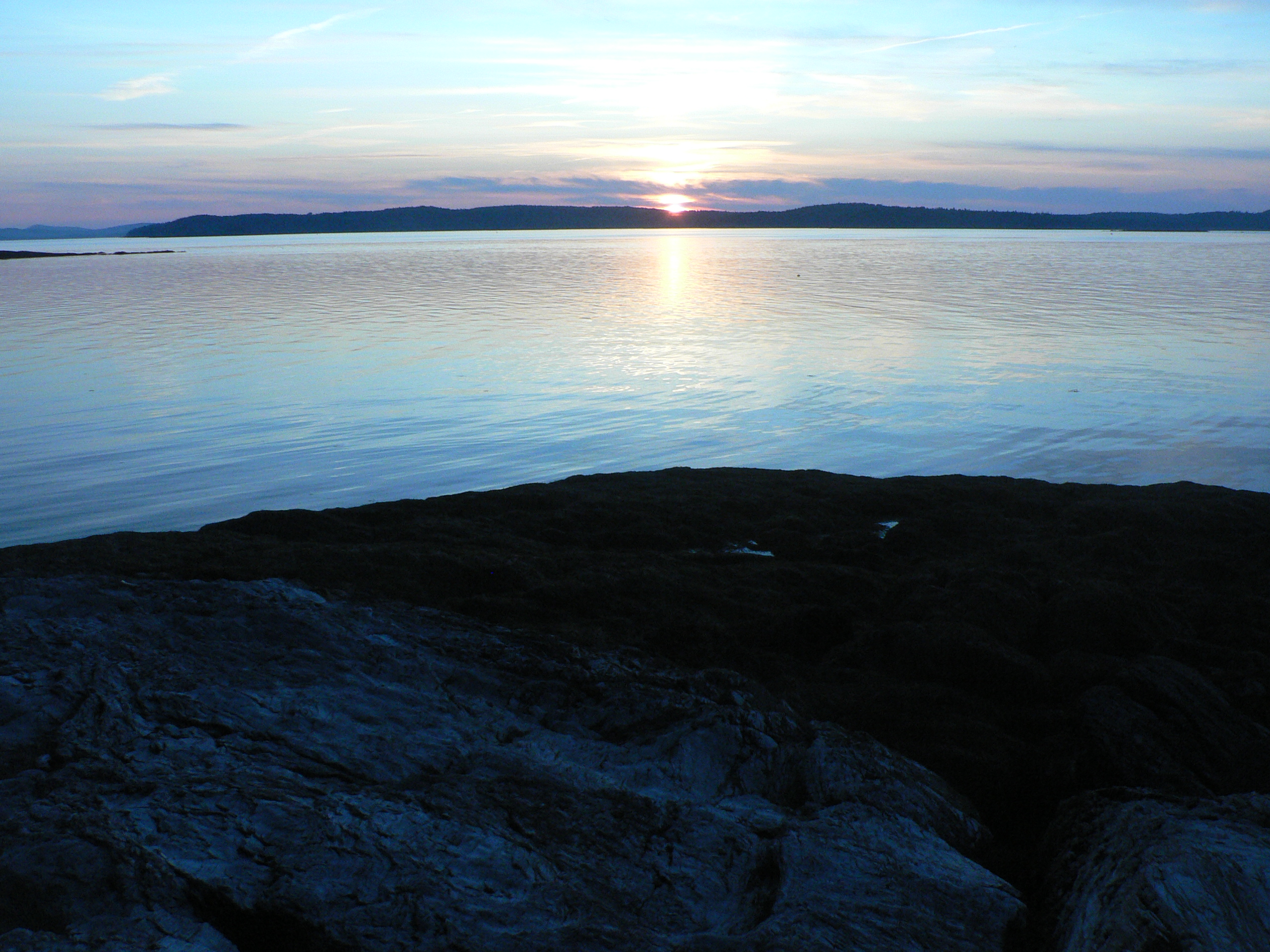
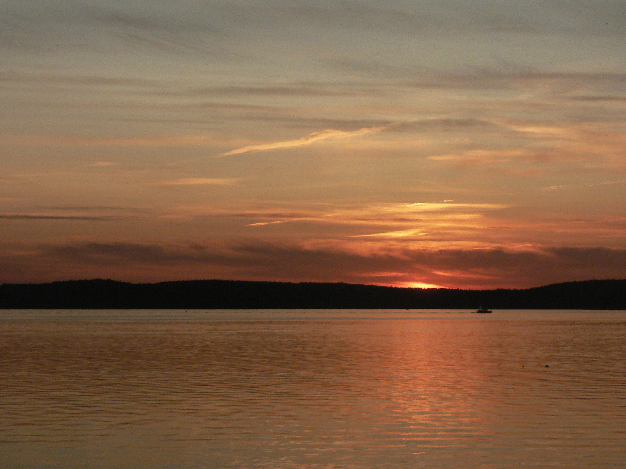
Almost Gone
Thresholds sunset - Little Deer Isle ME 20090711 036
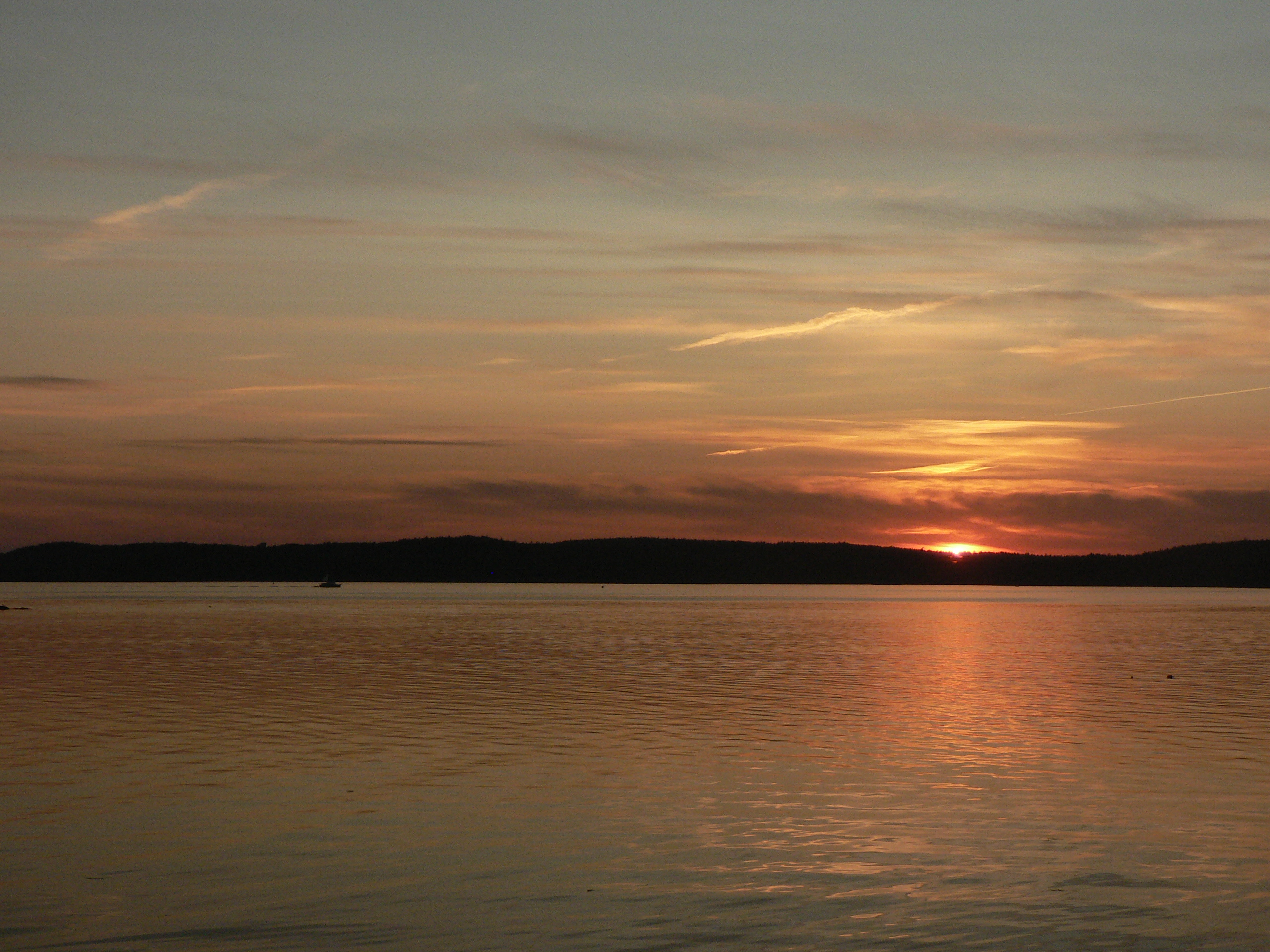
Thresholds sunset - Little Deer Isle ME 20090711 051
Thresholds sunset - Little Deer Isle ME 20090711 034
IMG_3792.jpg

Blue Hill Mountain
Thresholds sunset - Little Deer Isle ME 20090711 050
Thresholds sunset - Little Deer Isle ME 20090711 055
Topographic Map of Bay Rd, Brooklin, ME, USA
Find elevation by address:

Places near Bay Rd, Brooklin, ME, USA:
32 Sea Spray Ln
71 Schooner Ln
684 Falls Bridge Rd
276 N Sedgwick Rd
North Sedgwick Road
607 Me-172
607 Me-172
Hawkhurst Lane
886 Reach Rd
Sedgwick
116 Reach Rd
116 Reach Rd
116 Reach Rd
116 Reach Rd
Cabin Cove
42 Larchwood Ln
419 South St
308 Reach Rd
308 Reach Rd
Old County Road
Recent Searches:
- Elevation of Zimmer Trail, Pennsylvania, USA
- Elevation of 87 Kilmartin Ave, Bristol, CT, USA
- Elevation of Honghe National Nature Reserve, QP95+PJP, Tongjiang, Heilongjiang, Jiamusi, Heilongjiang, China
- Elevation of Hercules Dr, Colorado Springs, CO, USA
- Elevation of Szlak pieszy czarny, Poland
- Elevation of Griffing Blvd, Biscayne Park, FL, USA
- Elevation of Kreuzburger Weg 13, Düsseldorf, Germany
- Elevation of Gateway Blvd SE, Canton, OH, USA
- Elevation of East W.T. Harris Boulevard, E W.T. Harris Blvd, Charlotte, NC, USA
- Elevation of West Sugar Creek, Charlotte, NC, USA