Elevation of South Road, S Rd, Peru, MA, USA
Location: United States > Massachusetts > Berkshire County > Peru >
Longitude: -73.053973
Latitude: 42.417062
Elevation: 552m / 1811feet
Barometric Pressure: 95KPa
Elevation Map:
Satellite Map:
Related Photos:

Westfield River - West Branch
Keystone Arch

It's Come Undone

Nature's Lines and Curves

20120827-154157-2607
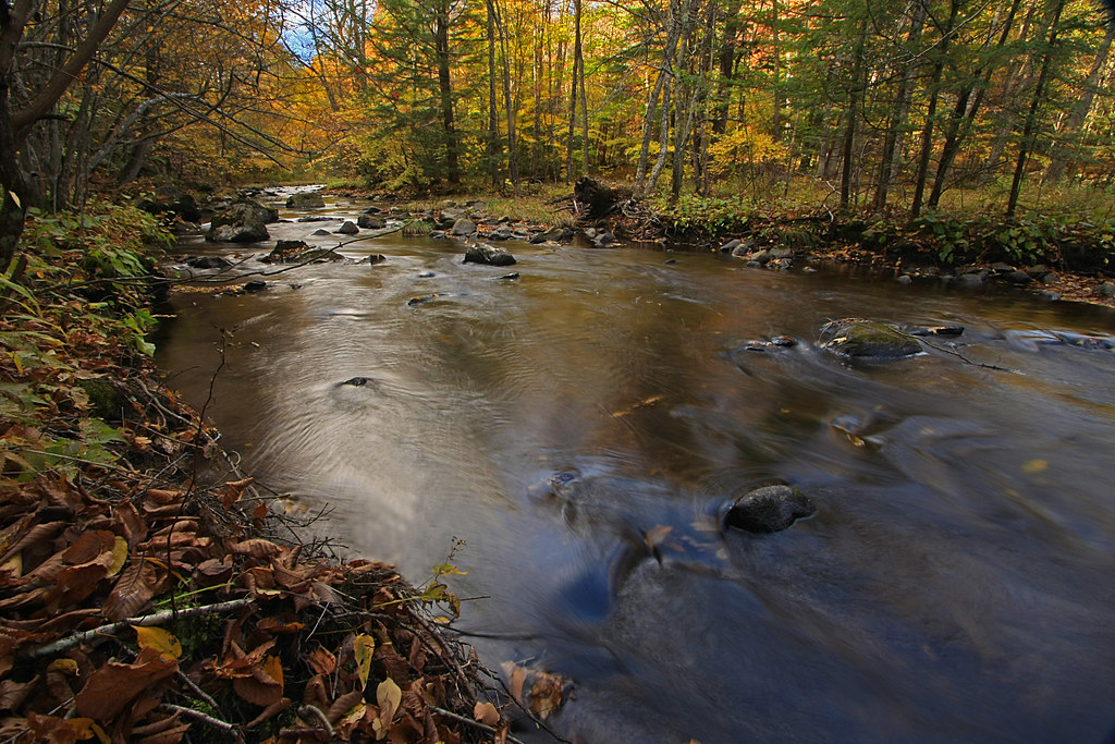
The Soothing Flow of a Woodland Stream
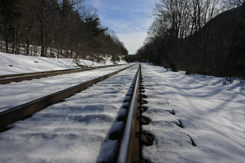
Tracks in the Snow
On the Way to the Emerald Pool
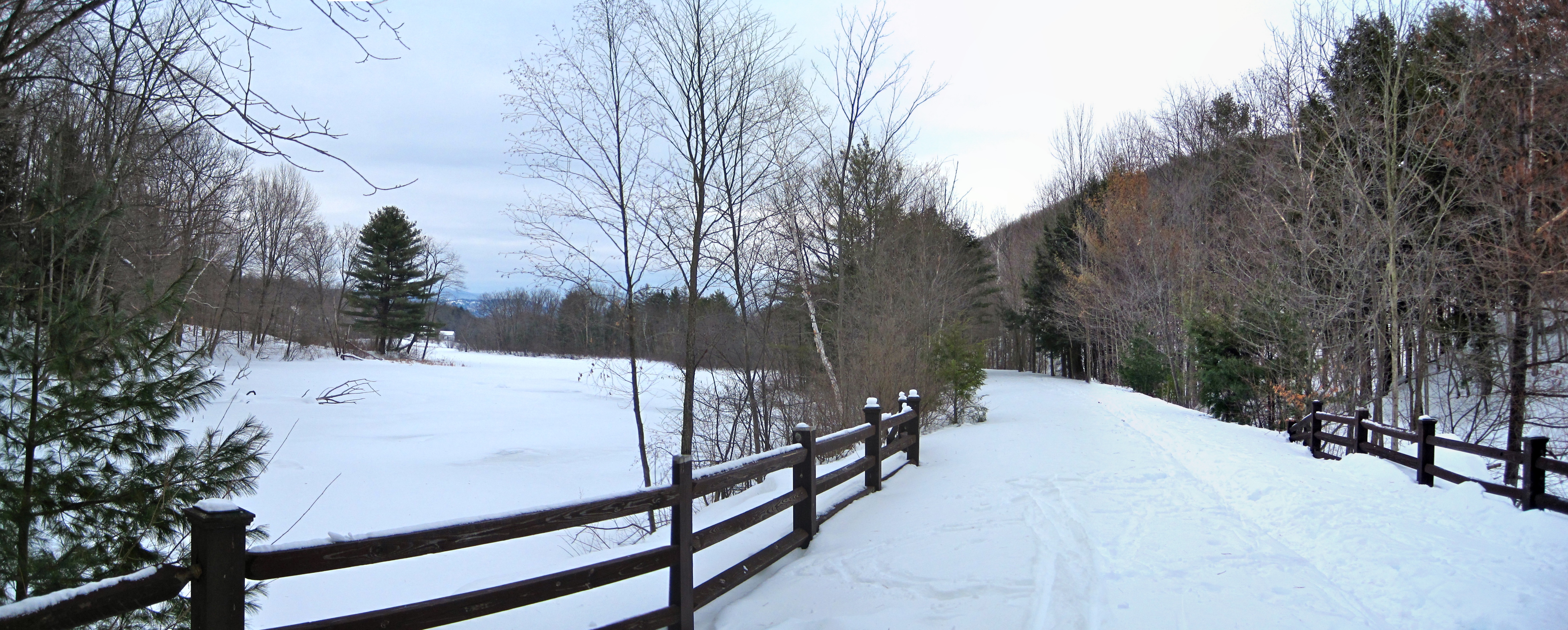
Ashuwillticook Rail Trail crossing Berkshire Pond [panorama]
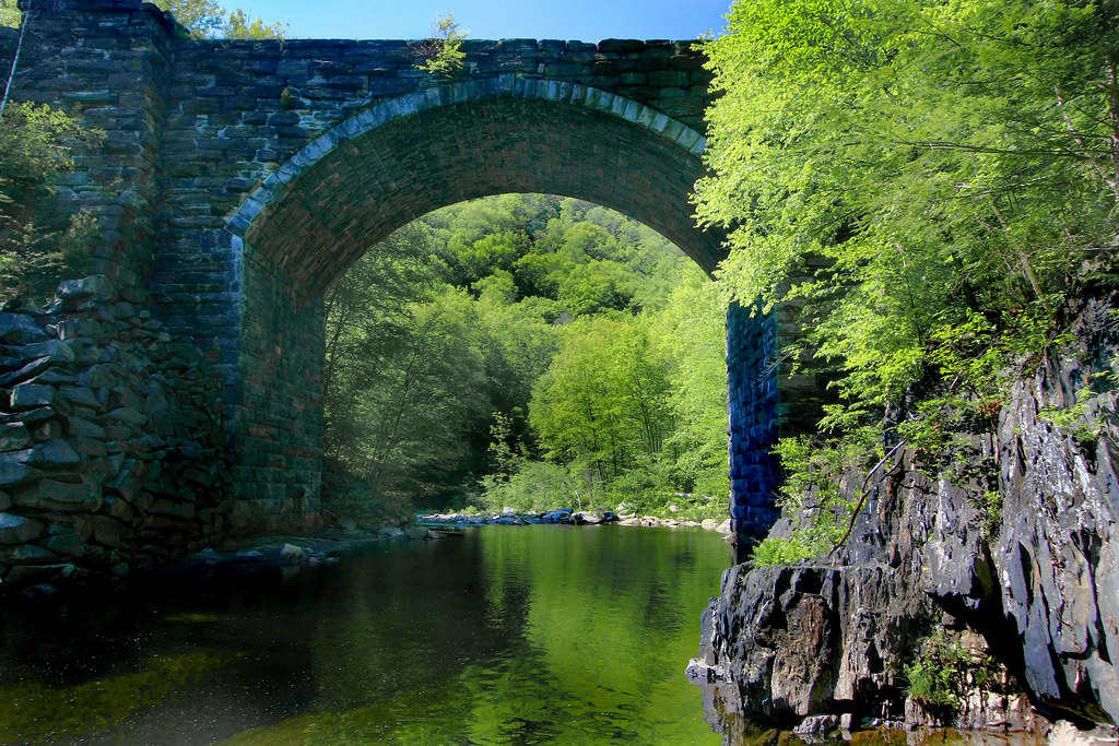
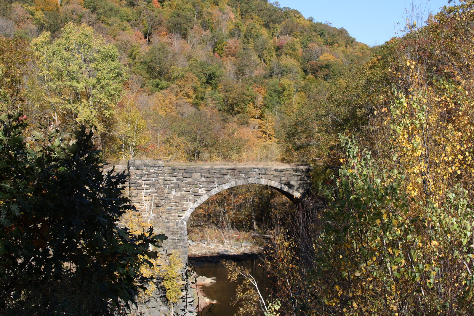
Keystone Arch Bridge
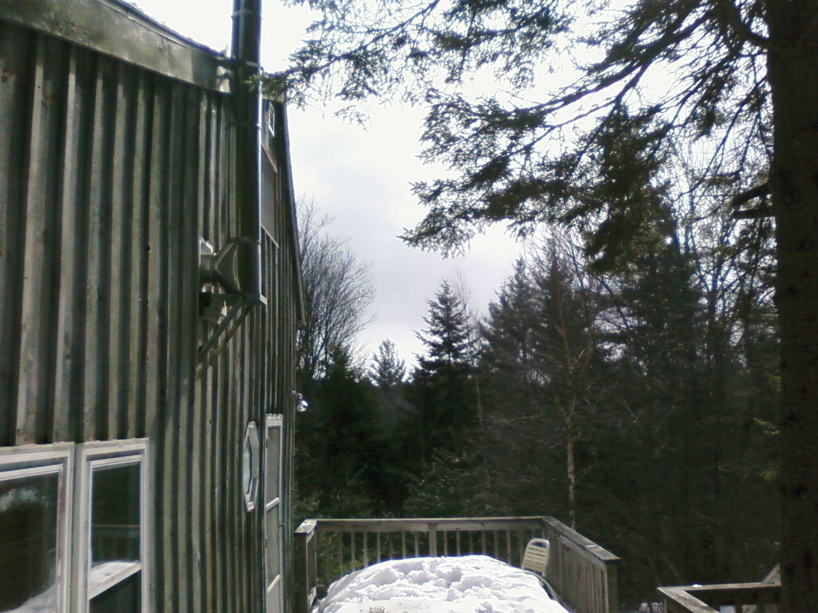
Porch View
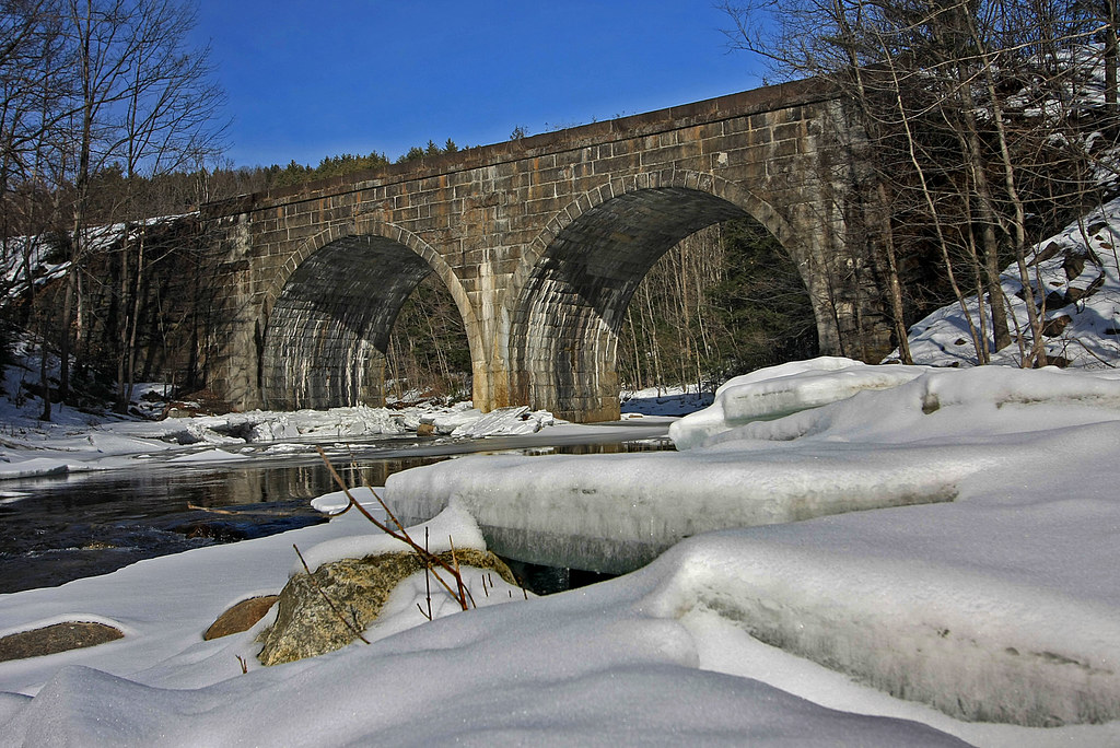
Double Arch
Clouds over Greylock

The Mill Stream

Arrowhead- Herman Melville Home- Pittsfield MA (4)

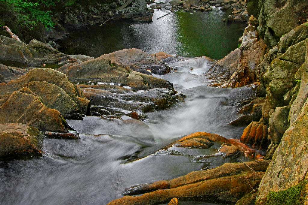
Chesterfield Gorge

Faux-get-me-nots

Arrowhead- Herman Melville Home- Pittsfield MA (3)

Wahconah Falls
Greylock from the Piazza
Chocolate Milk, Anyone?

Frozen Solid at Wahconah Falls

Shadows from the pines -- along the trail
Winter Abstract
Waiting for the Fairies
road to Wahconah Falls
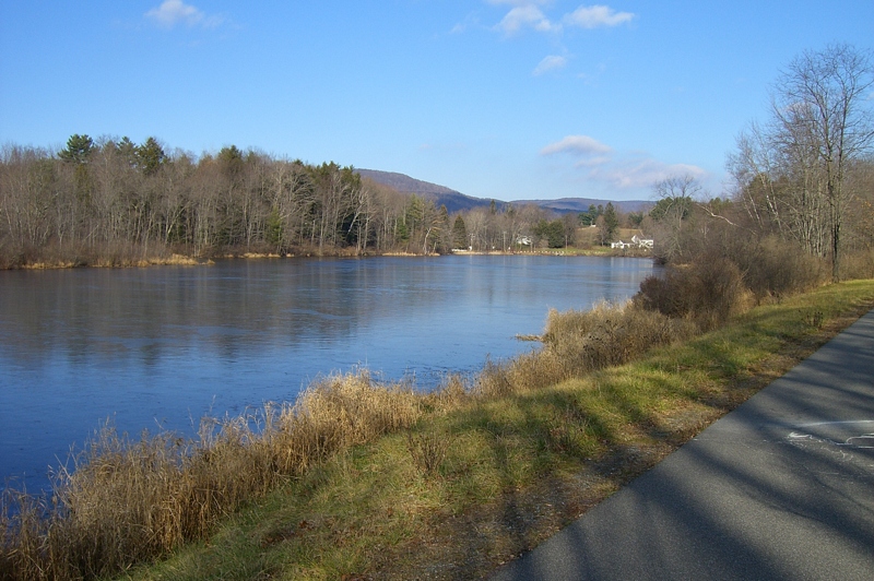
Buckley Dunton Lake

Peace, Freedom, & Security Weedend
Chesterfield Gorge

Glendale Falls
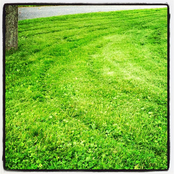
grass mowed before the storm
Glendale Falls 2
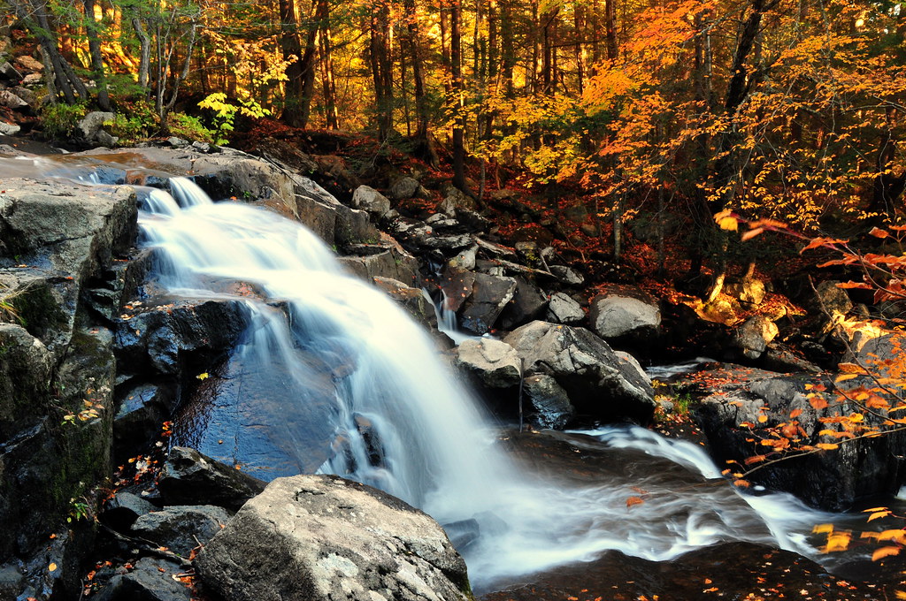
Autumn Falls
EX-S600-2006-12-20-009.JPG

Climb In
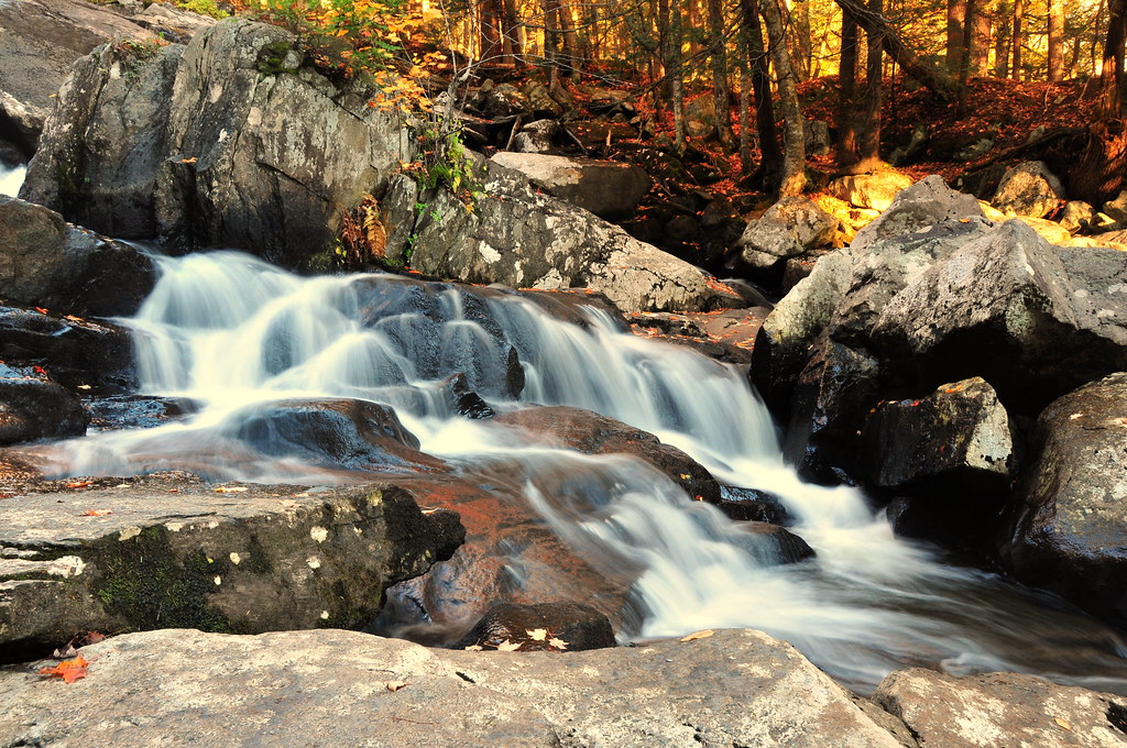
The Falls Runneth Over
Chesterfield Gorge
Topographic Map of South Road, S Rd, Peru, MA, USA
Find elevation by address:

Places near South Road, S Rd, Peru, MA, USA:
7 Greylock Cir
35 S Rd
72 Hickingbotham Rd
Peru
16 Marlow Dr
13 Kreutzer Rd
Ashmere Lake
East Washington Road
14 Bonny Ln
18 Bonny Ln
Peru Road
321 Ashmere Dr
1346 E Washington Rd
New Windsor Rd, Hinsdale, MA, USA
12 Peru Rd
232 Parish Rd
1104 Old North Rd
1104 Old North Rd
261 E Windsor Rd
85 Arthur Pease Rd
Recent Searches:
- Elevation of 72-31 Metropolitan Ave, Middle Village, NY, USA
- Elevation of 76 Metropolitan Ave, Brooklyn, NY, USA
- Elevation of Alisal Rd, Solvang, CA, USA
- Elevation of Vista Blvd, Sparks, NV, USA
- Elevation of 15th Ave SE, St. Petersburg, FL, USA
- Elevation of Beall Road, Beall Rd, Florida, USA
- Elevation of Leguwa, Nepal
- Elevation of County Rd, Enterprise, AL, USA
- Elevation of Kolchuginsky District, Vladimir Oblast, Russia
- Elevation of Shustino, Vladimir Oblast, Russia