Elevation of 72 Hickingbotham Rd, Peru, MA, USA
Location: United States > Massachusetts > Berkshire County > Peru >
Longitude: -73.052229
Latitude: 42.4352206
Elevation: 649m / 2129feet
Barometric Pressure: 94KPa
Elevation Map:
Satellite Map:
Related Photos:
Ashuwillticook Rail Trail crossing Berkshire Pond [panorama]

Faux-get-me-nots

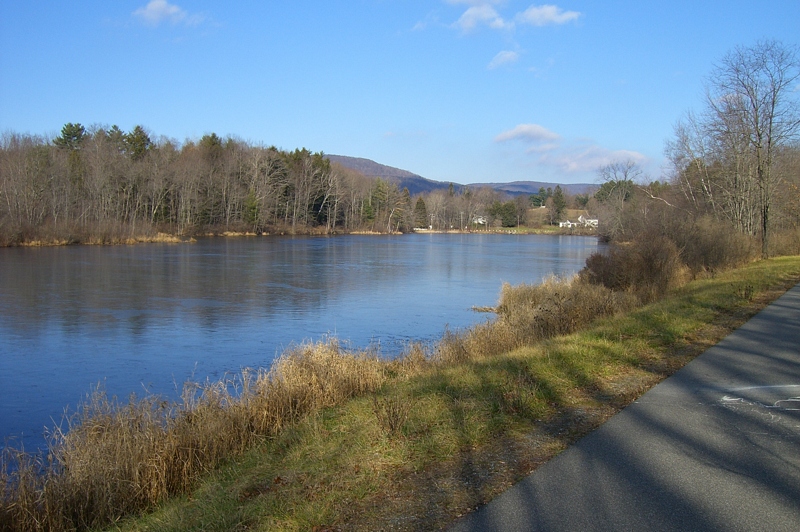
Westfield River - West Branch
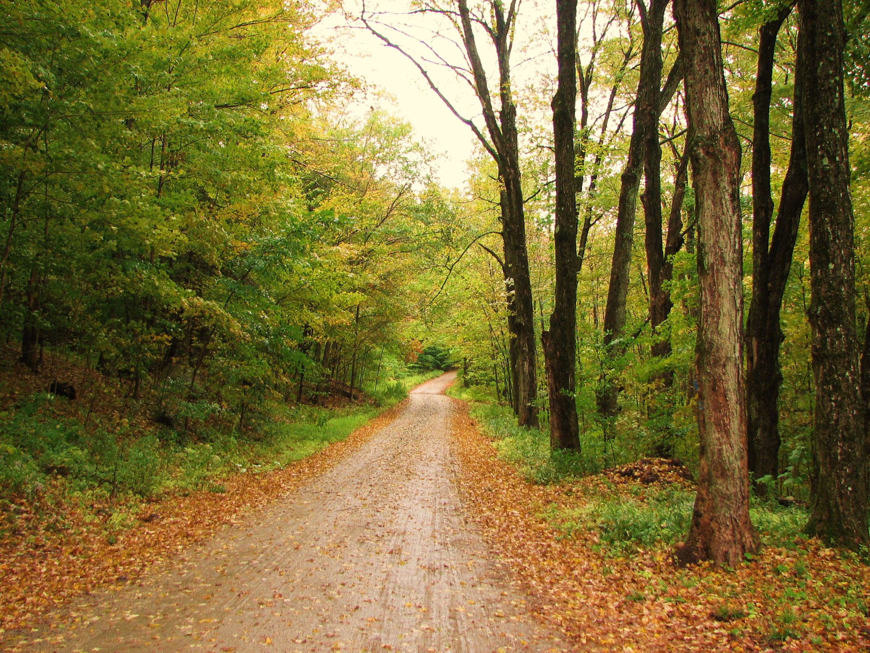
Farm Road
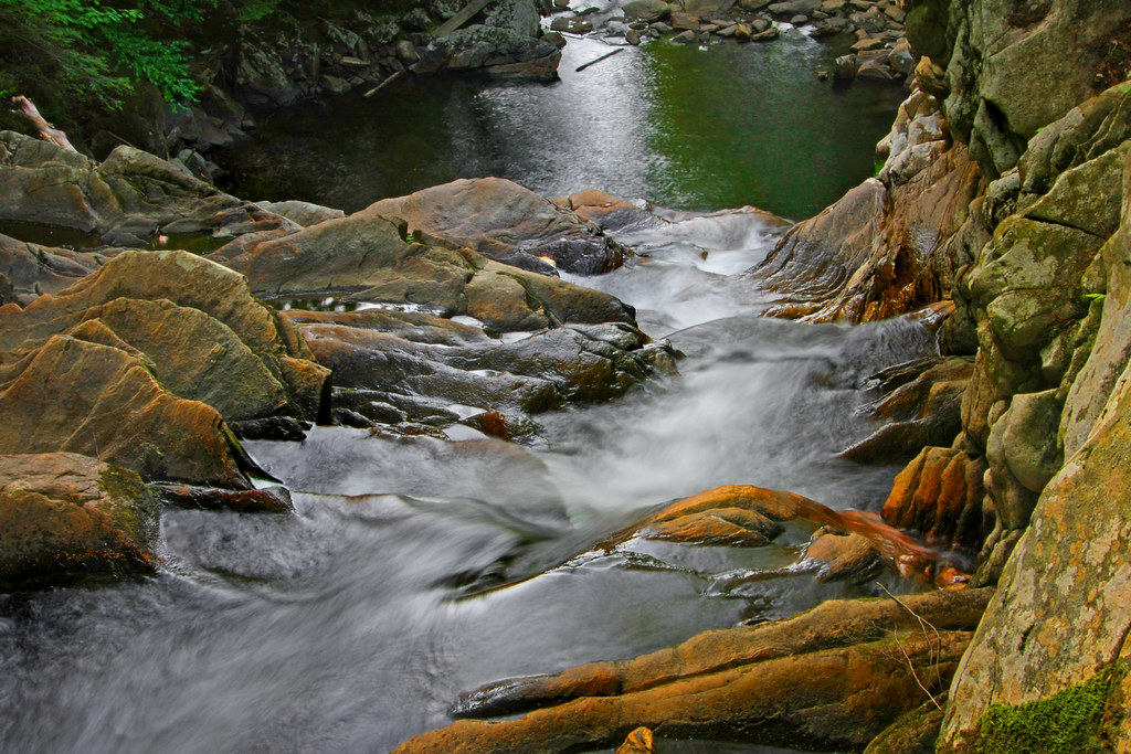
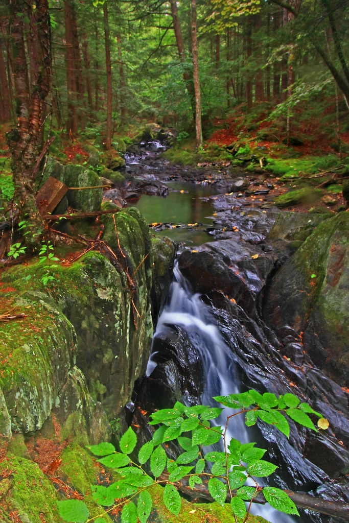
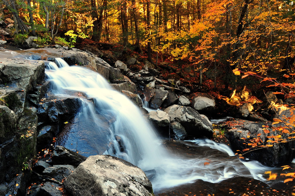
Not Just A Trickle

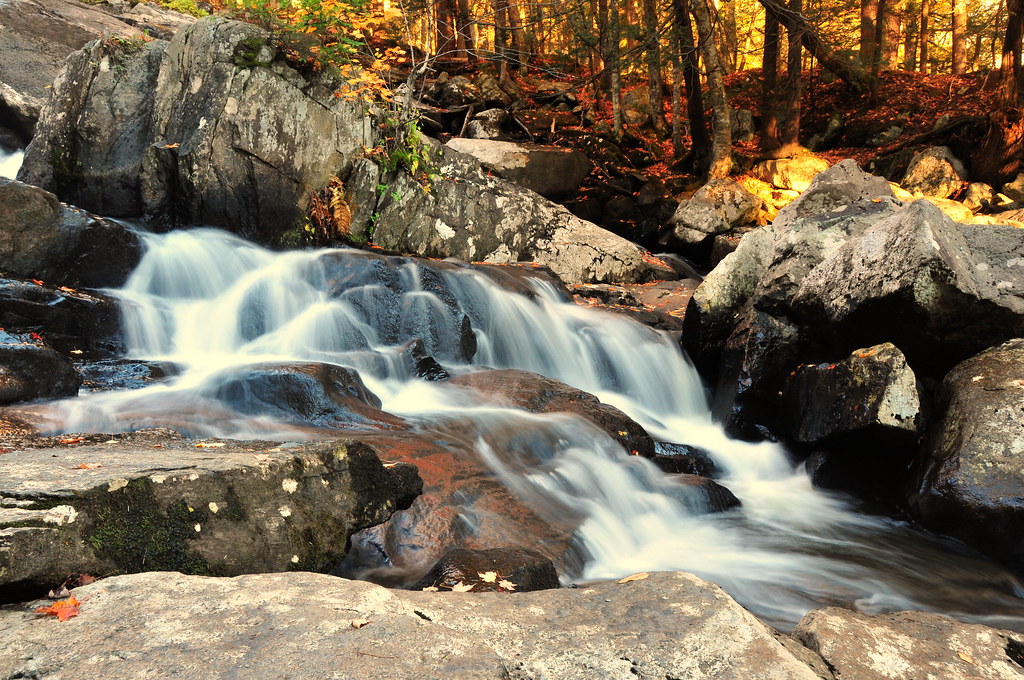
Nature's Lines and Curves
Tracks in the Snow
On the Way to the Emerald Pool
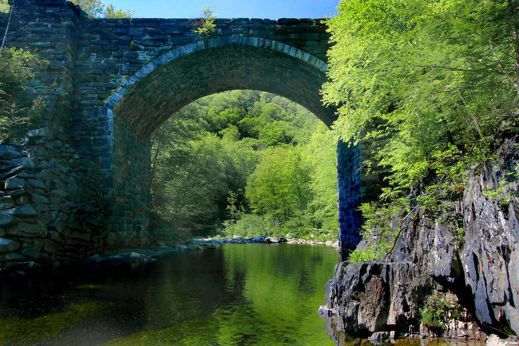
Keystone Arch Bridge
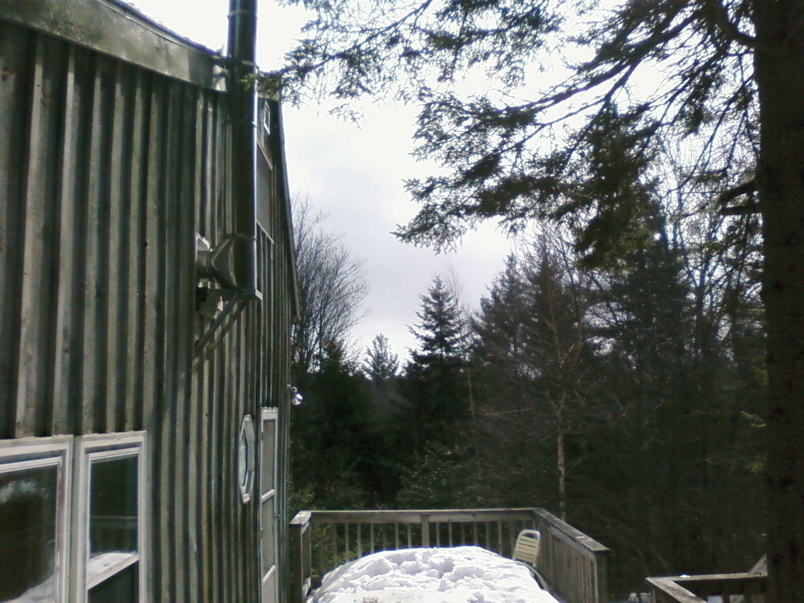
Porch View
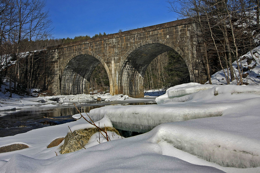
Double Arch
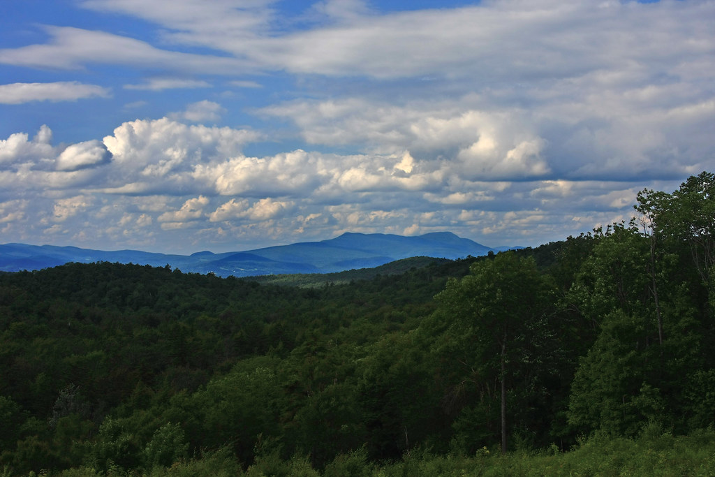
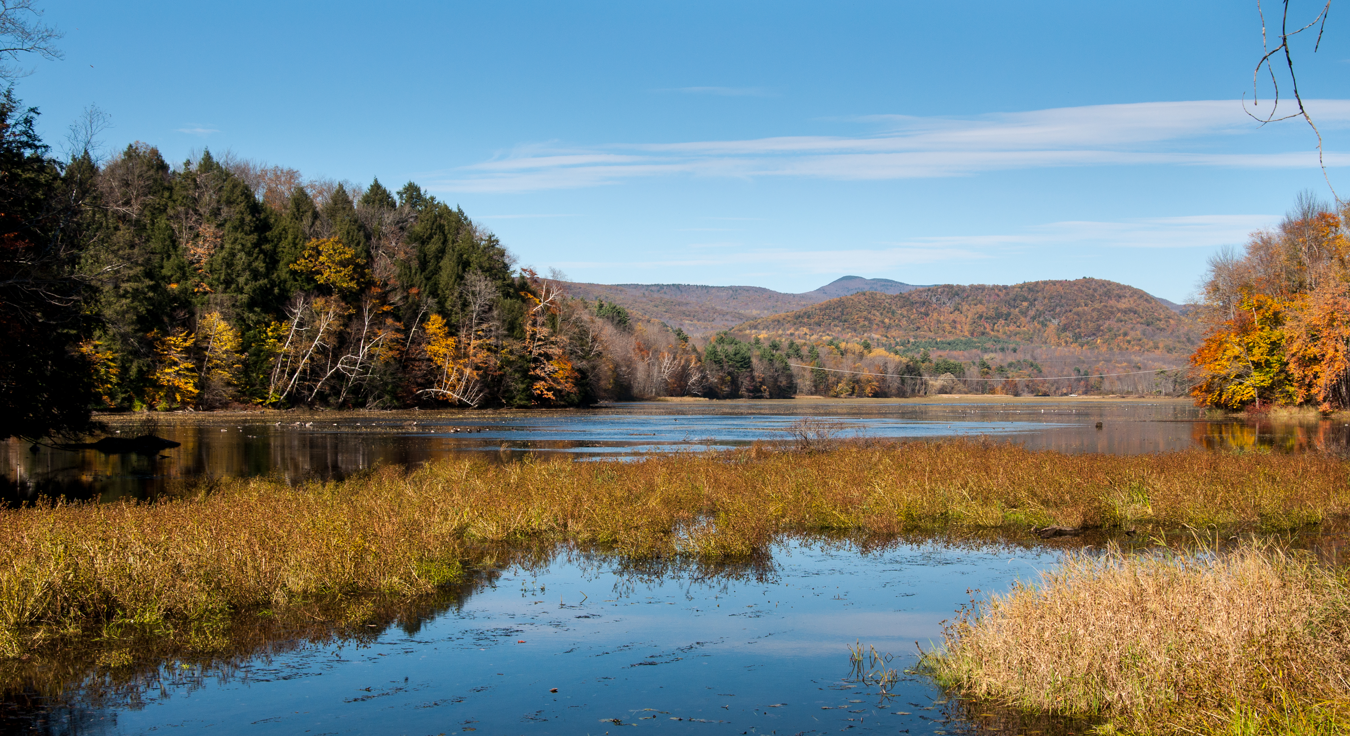
Clouds over Greylock

The Mill Stream

Chesterfield Gorge

Wahconah Falls
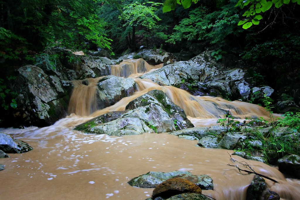
Chocolate Milk, Anyone?
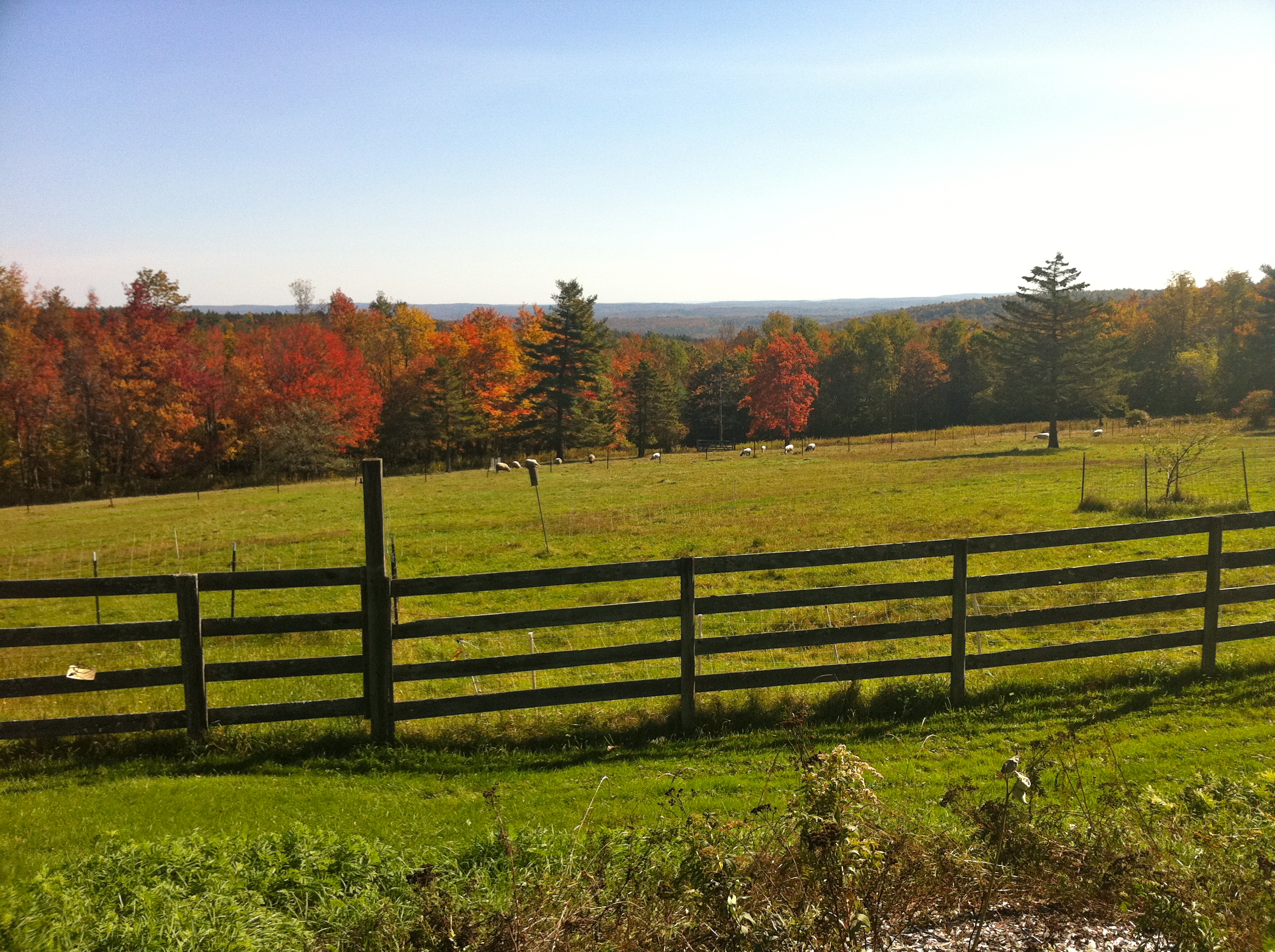
Foliage point on Great River Ride (this time with sheep!)
Clark Hill in Worthington, Massachusetts
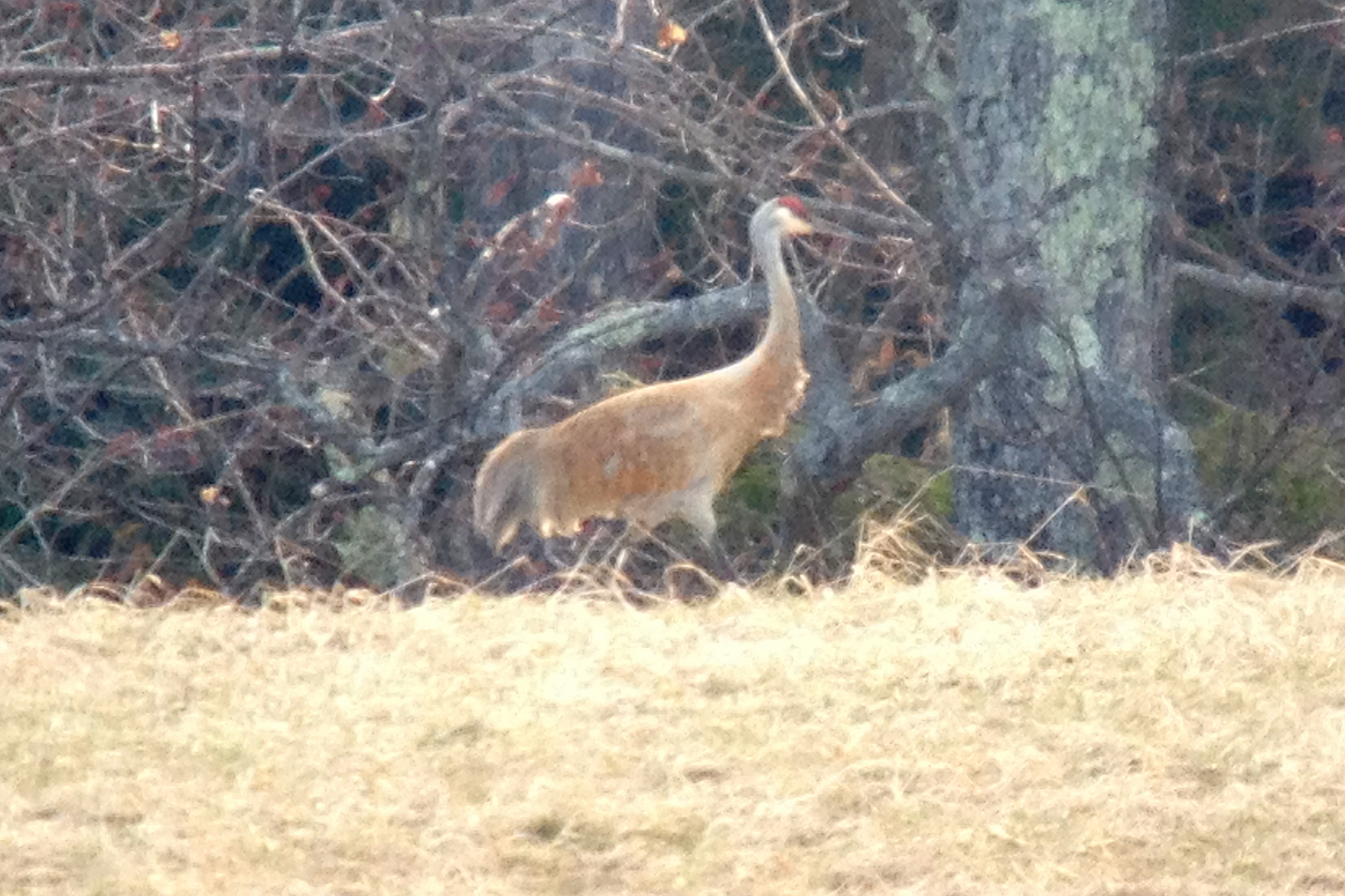
Sandhill Crane
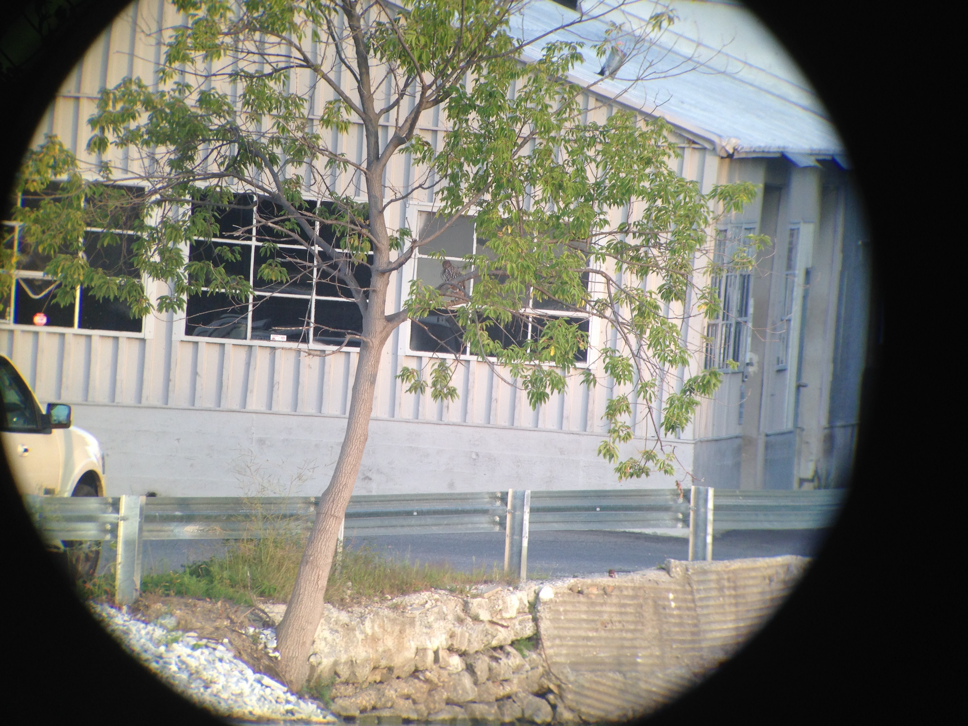
Black-crowned Night-Heron
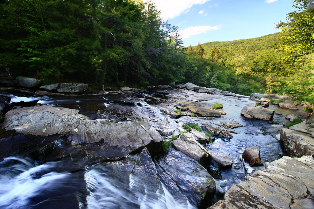
Top of the Falls

Abandoned Limestone Mill - Cheshire, Massachusetts
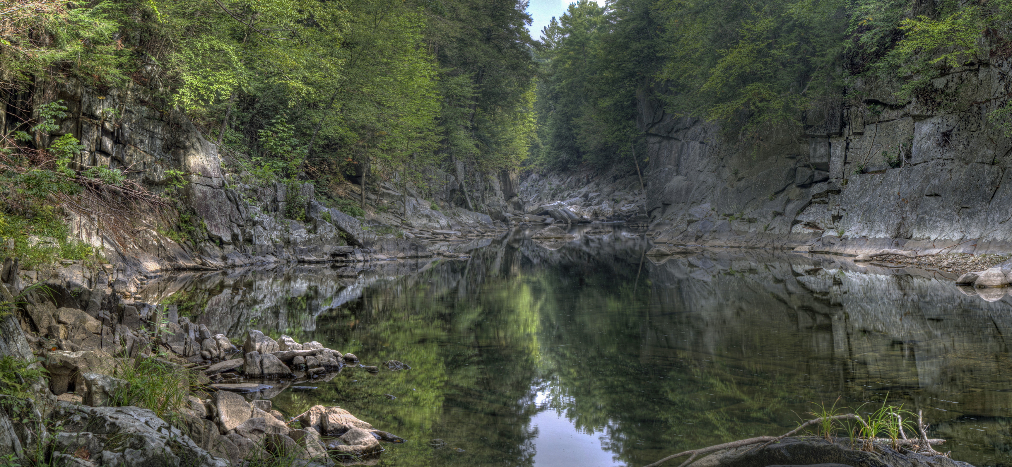
Chesterfield Gorge

Shadows from the pines -- along the trail
Waiting for the Fairies
road to Wahconah Falls
_DSC9762.jpg

Frozen Solid at Wahconah Falls
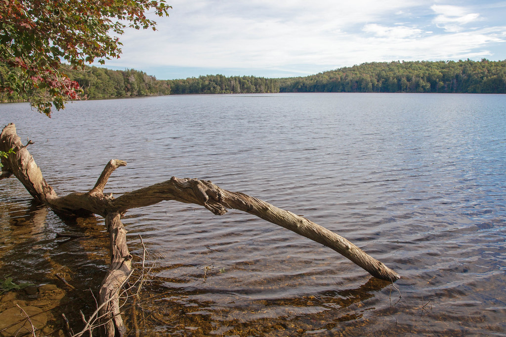
Buckley Dunton Lake

Peace, Freedom, & Security Weedend

Glendale Falls
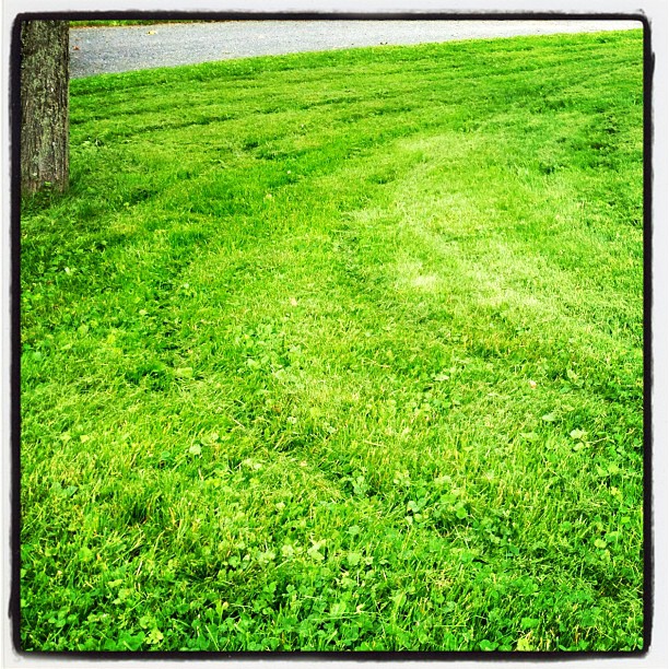
grass mowed before the storm
Glendale Falls 2
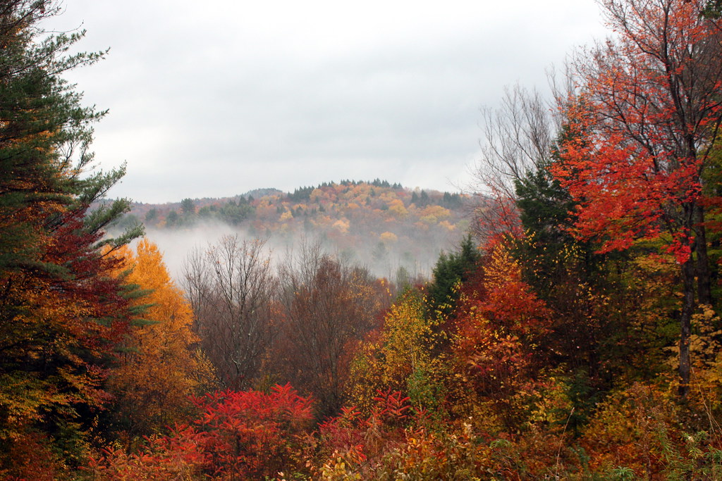
Autumn Falls
EX-S600-2006-12-20-009.JPG
Topographic Map of 72 Hickingbotham Rd, Peru, MA, USA
Find elevation by address:

Places near 72 Hickingbotham Rd, Peru, MA, USA:
Peru
South Road
16 Marlow Dr
7 Greylock Cir
35 S Rd
Ashmere Lake
13 Kreutzer Rd
14 Bonny Ln
321 Ashmere Dr
18 Bonny Ln
Peru Road
New Windsor Rd, Hinsdale, MA, USA
261 E Windsor Rd
East Washington Road
12 Peru Rd
254 E Windsor Rd
232 Parish Rd
1104 Old North Rd
1104 Old North Rd
1346 E Washington Rd
Recent Searches:
- Elevation of Congressional Dr, Stevensville, MD, USA
- Elevation of Bellview Rd, McLean, VA, USA
- Elevation of Stage Island Rd, Chatham, MA, USA
- Elevation of Shibuya Scramble Crossing, 21 Udagawacho, Shibuya City, Tokyo -, Japan
- Elevation of Jadagoniai, Kaunas District Municipality, Lithuania
- Elevation of Pagonija rock, Kranto 7-oji g. 8"N, Kaunas, Lithuania
- Elevation of Co Rd 87, Jamestown, CO, USA
- Elevation of Tenjo, Cundinamarca, Colombia
- Elevation of Côte-des-Neiges, Montreal, QC H4A 3J6, Canada
- Elevation of Bobcat Dr, Helena, MT, USA